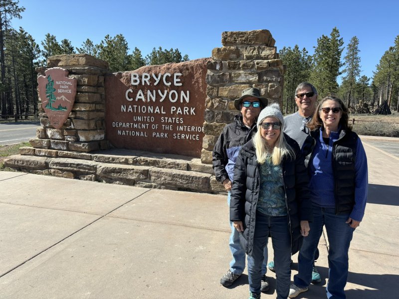

We met up with Joy and Larry at Las Vegas after driving north in the jeep and did a little Vegas sightseeing including trying out a beer garden right above the strip — very civilized and excellent beer selections. On leaving LV, we caravanned north to Bryce Canyon City where they had a reservation for the motorhome at Ruby’s RV Park and Campground (elev 7,661 ft asl +-). Based on the business names in the town, Ruby owns it all.
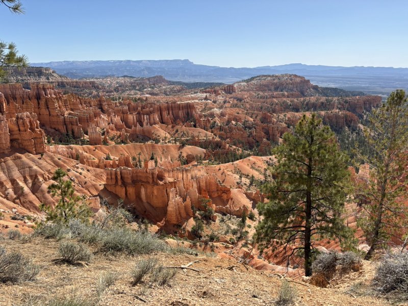
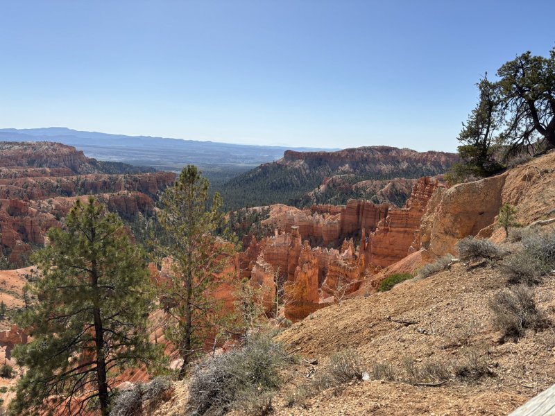
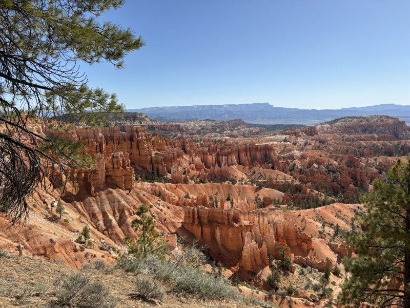
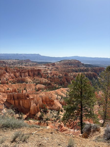
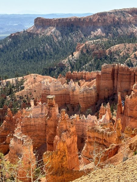
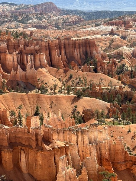
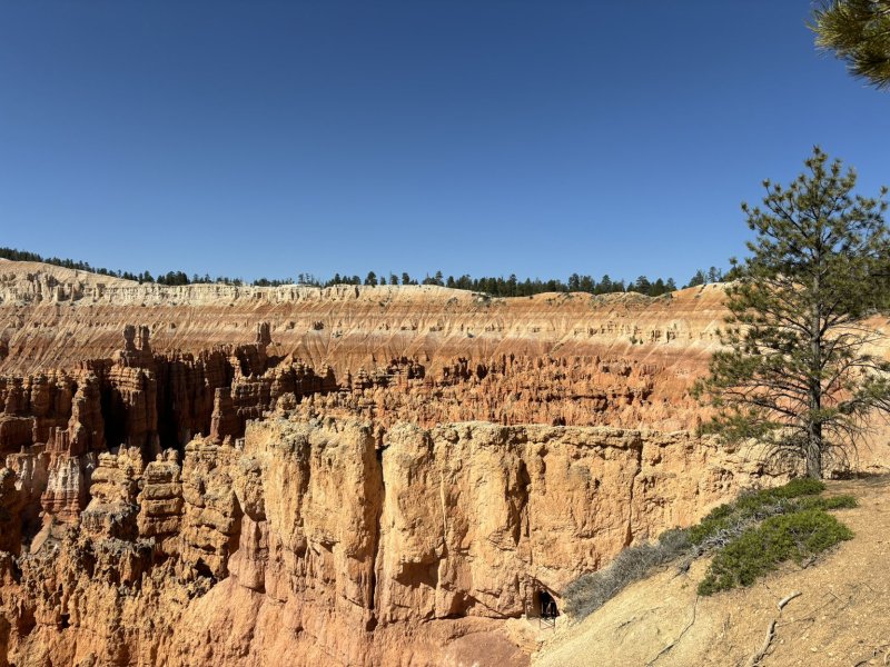
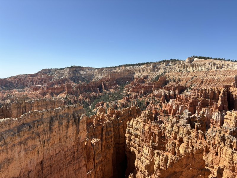
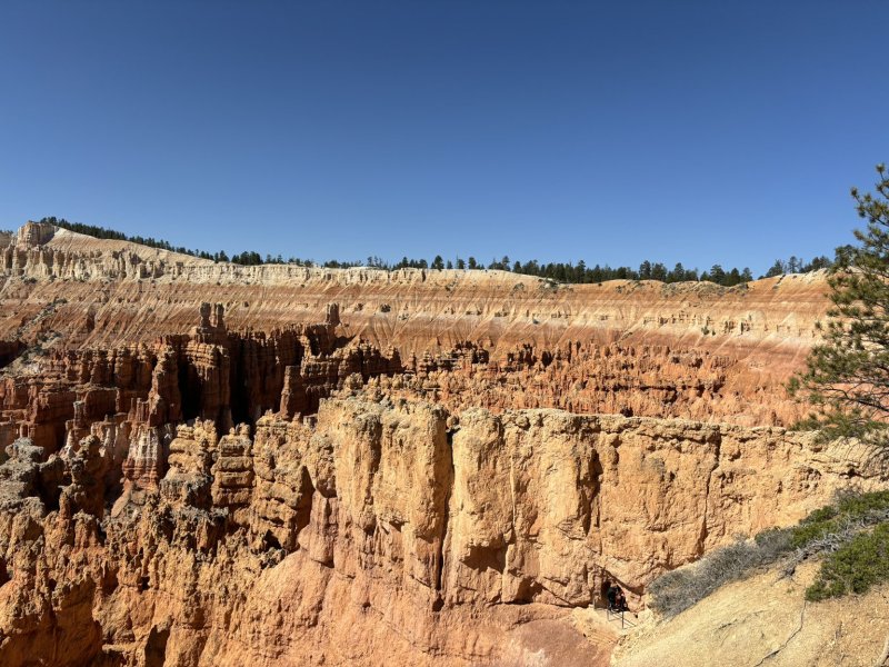
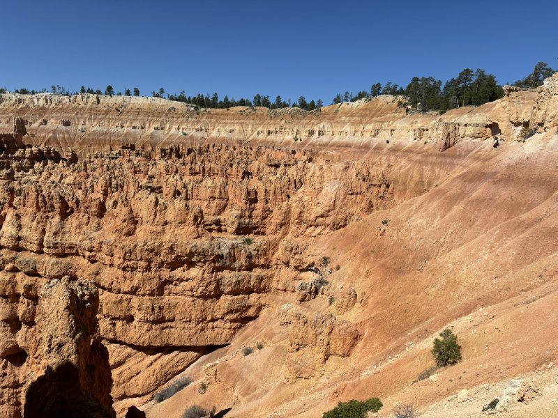
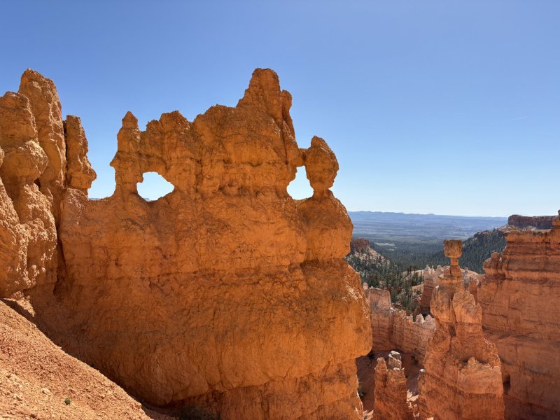
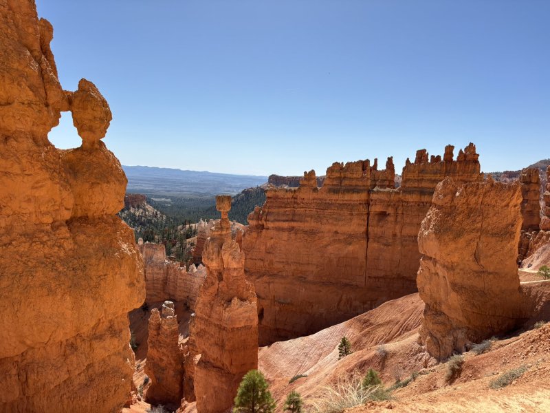
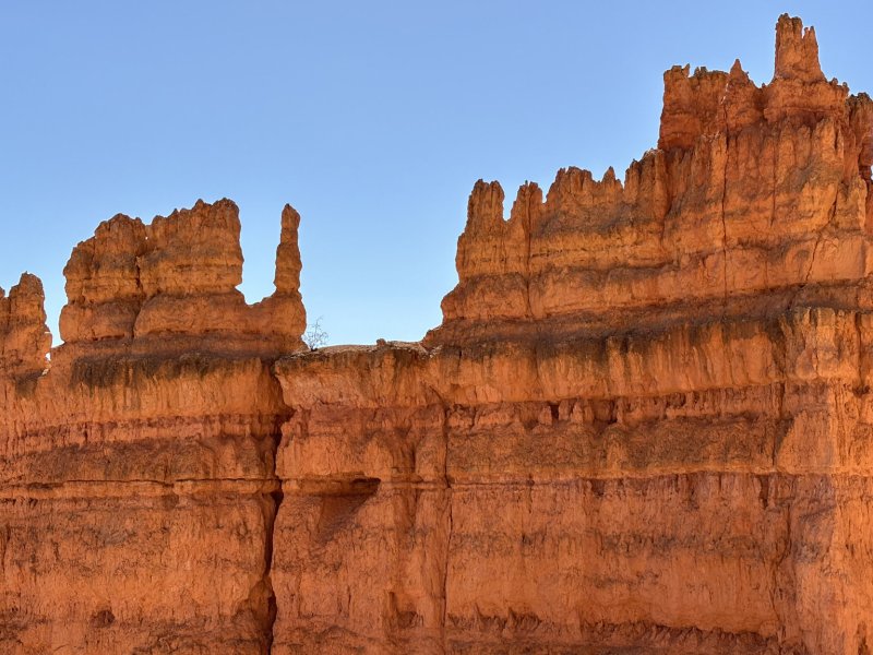
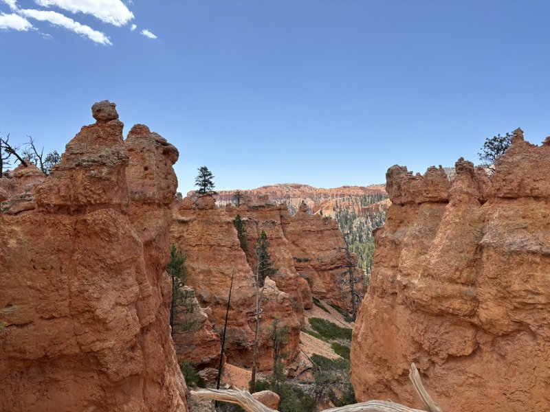
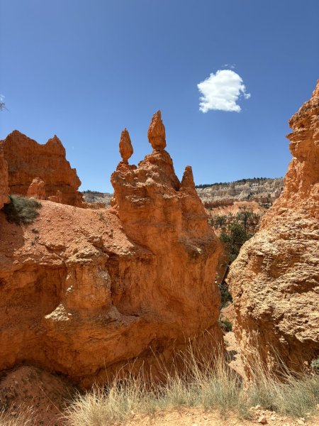
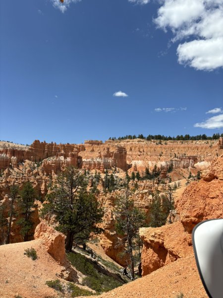
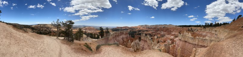
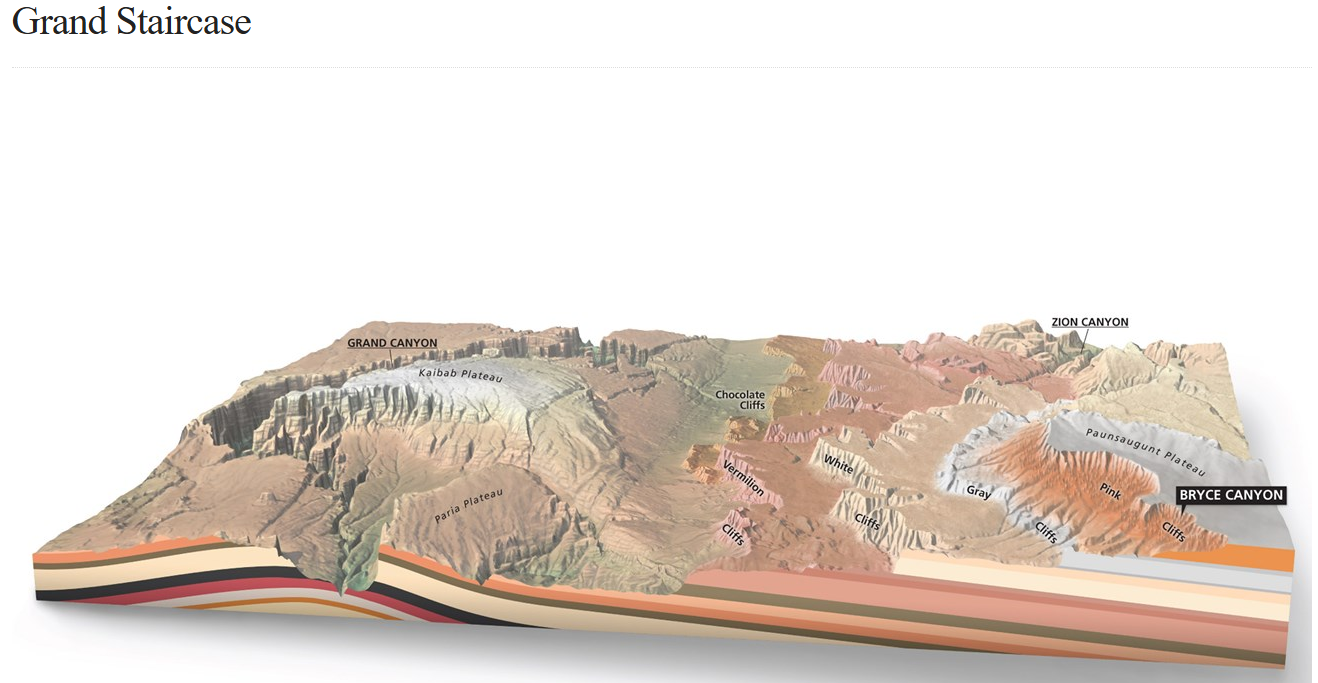
Bryce Canyon is famous for its hoodoos, expansive views from the large amphitheaters and the red rocks. The park is located at the top of the Grand Staircase (see picture below — south is on left and north to right) designated as the Pink Cliffs. Geologically it is home to some of the younger sedimentary rocks in the Colorado Plateau, deposited 50 to 30 mya in lakes and floodplains. The uppermost formation is the Claron formation which is predominately limestone and mudstone and the home of the hoodoos, natural amphitheaters, fins and walls that provide stunning views and hiking opportunities.
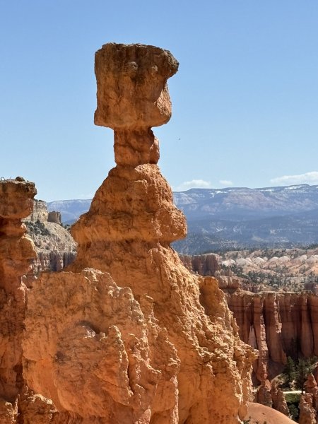
Hoodoos started life as flat lying layers of sedimentary materials deposited at or near sea level in lakes and floodplains. Keep in mind that the maximum elevation in the park is about 9,115 ft asl. How on God’s great flat earth did those rocks climb that high?? Tectonics baby!!
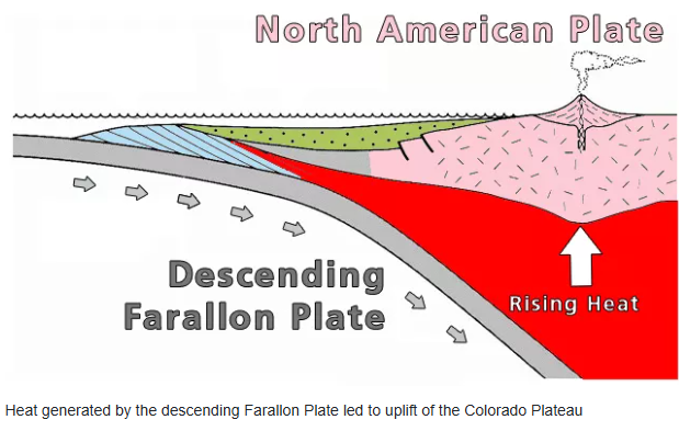
On the cartoon above, west is left, and east is right and there is about 1,000 miles between the east and west edge of the cartoon. As you read this, be aware that not all geologists wrap their arms around and hug this interpretation… but every science has its nay sayers. Would not be fun if we all shook our heads knowingly. Anyway, the Farallon Plate is one of the grandaddies of tectonic plates, at one time covering a significant area of the Pacific Ocean. It’s gone now, replaced by the Pacific Plate and a few others. But in its day, it was slowly and inexorably diving eastward under the North American Plate (the continental core) which was also moving westward and had its western boundary pretty much along the Interstate 15 corridor. To simplify it, think of shoving a pile of four or five pizza boxes under each other. As the first and second box go beneath the third and fourth, they rise up. Add a little heat to the mass and things get really exciting.
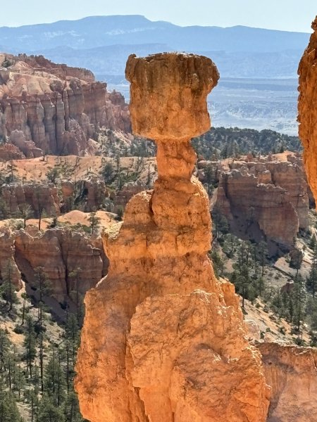
Anyway, back to hoodoos. This description is from the NPS geology section in the Bryce Canyon literature. The elevation in which Bryce Canyon is located receives both above freezing temperatures and below freezing temperatures over 170 nights out of the year. That is more than half of the days of the year in which Bryce Canyon reaches above/below freezing temperatures in the same night! This is crucial to creating the hoodoos. When water (from either rain or snow that has melted) seeps its way into the cracks in the rock, it resides there. Hours later, when Bryce Canyon is met with freezing temperatures, the water trapped inside the rock begins to freeze into ice. When water freezes into ice, it expands by 9%! This expansion into ice causes tremendous pressure on the surrounding rock, and thus causes it to break apart. This process is known as “ice wedging”, because the ice is literally wedging apart the rocks. From a plateau, eventually the rocks break down into walls, windows, and then as individual hoodoos.
Part of the beauty of the hoodoos comes from their strange patterns. The shape of the hoodoos is attributed to slight variances in the material which comprises the rock. If you recall from the “deposition” section above, there are multiple types of rocks that make up Bryce Canyon. All of the rocks contain abundant calcium carbonate (CaCO3), a mineral that dissolves when it comes into contact with even slightly acidic water. When it rains at Bryce Canyon, the (slightly) acidic rain is enough to dissolve the calcium carbonate that holds these rocks together and allows them to erode into their current shape (and continues to shape them). When you look at the Hoodoos you will notice some layers that jut out, and some that indent inwards. This is a result of the rocks having varying amounts of calcium carbonate cementation and that controls how easily dissolvable (or how resistant) that rock layer is.
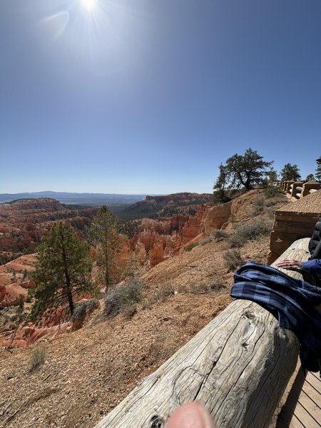
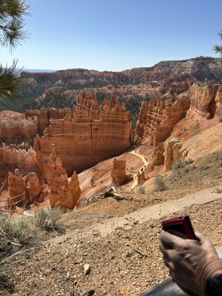
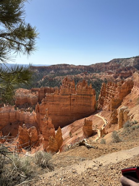
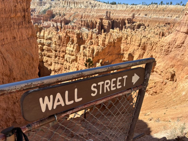
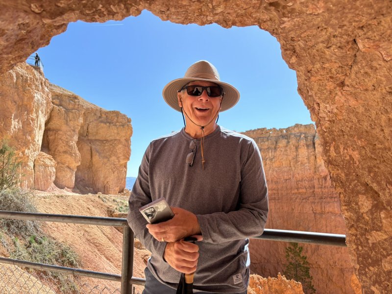
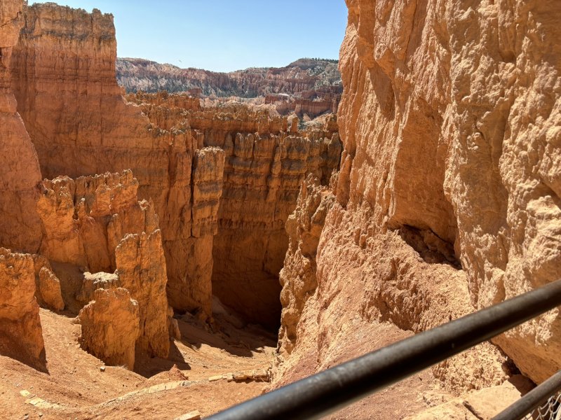
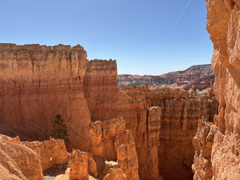
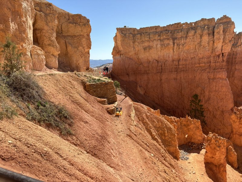
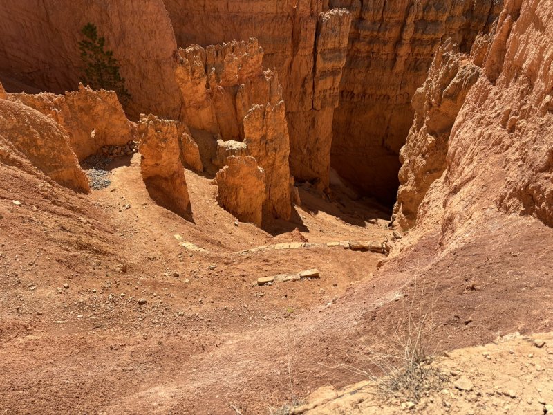
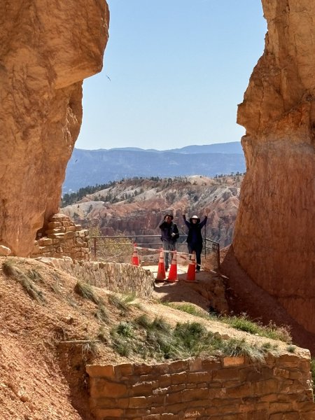
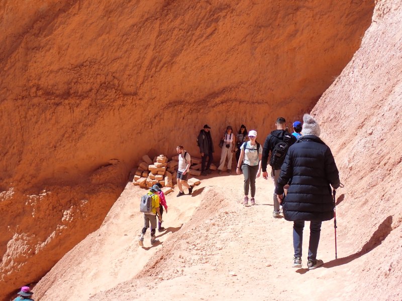
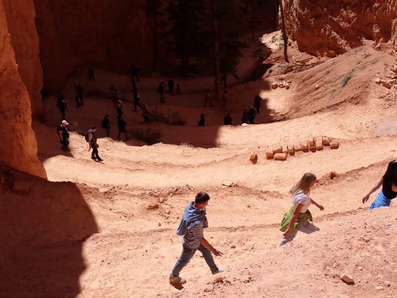
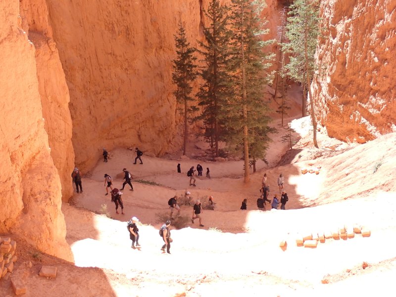
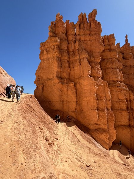
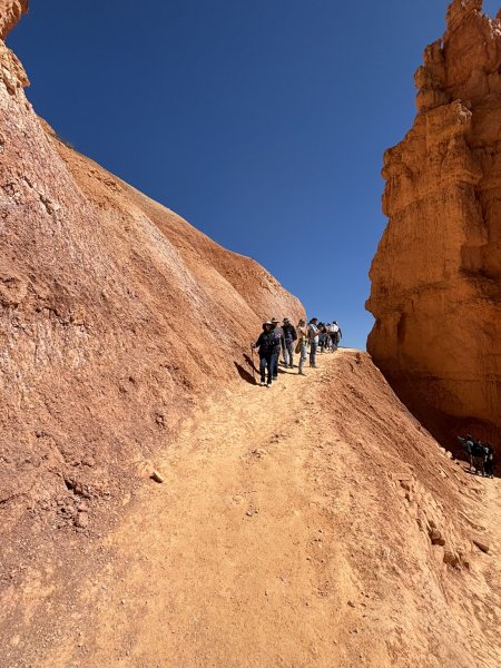
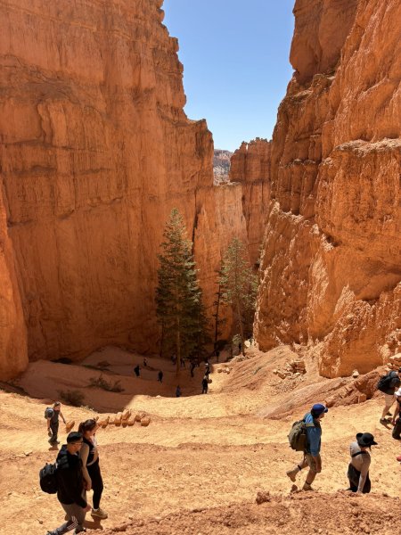
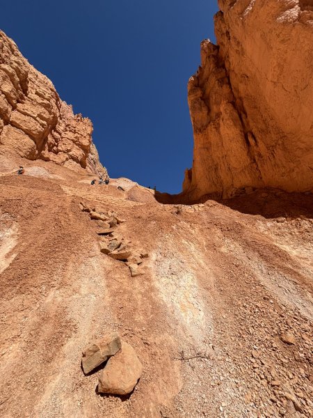
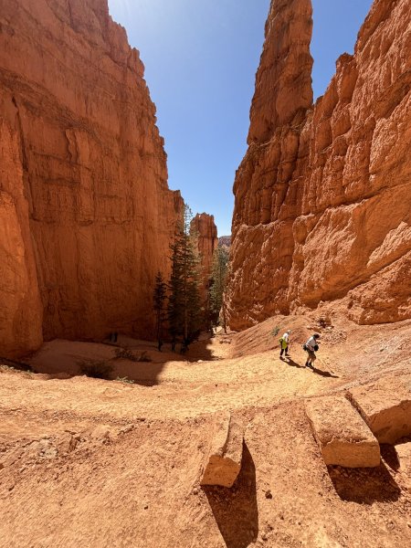
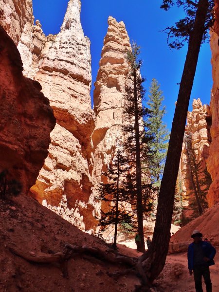
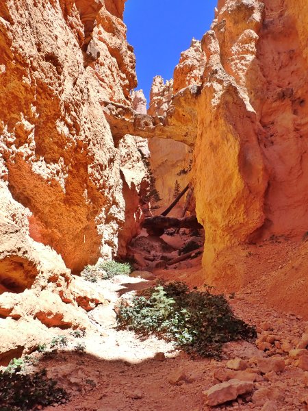
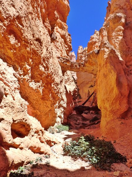
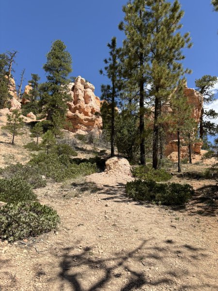
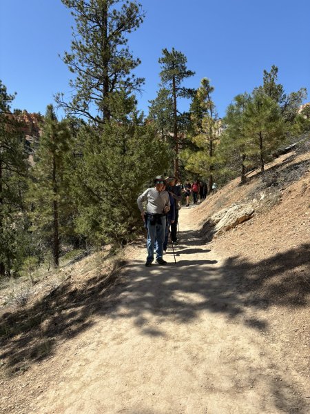
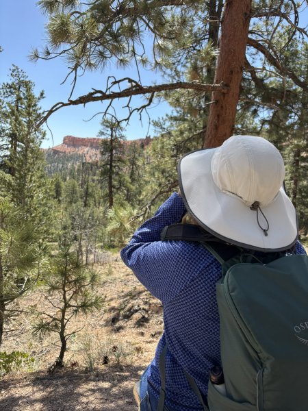
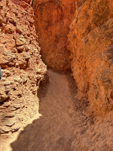
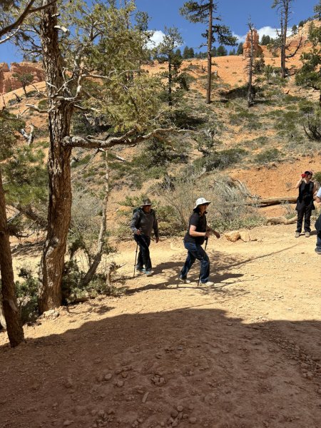
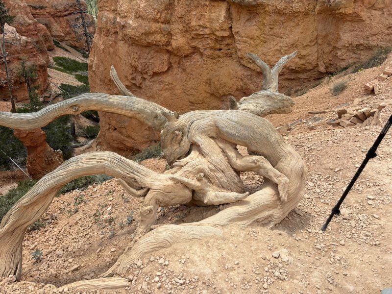
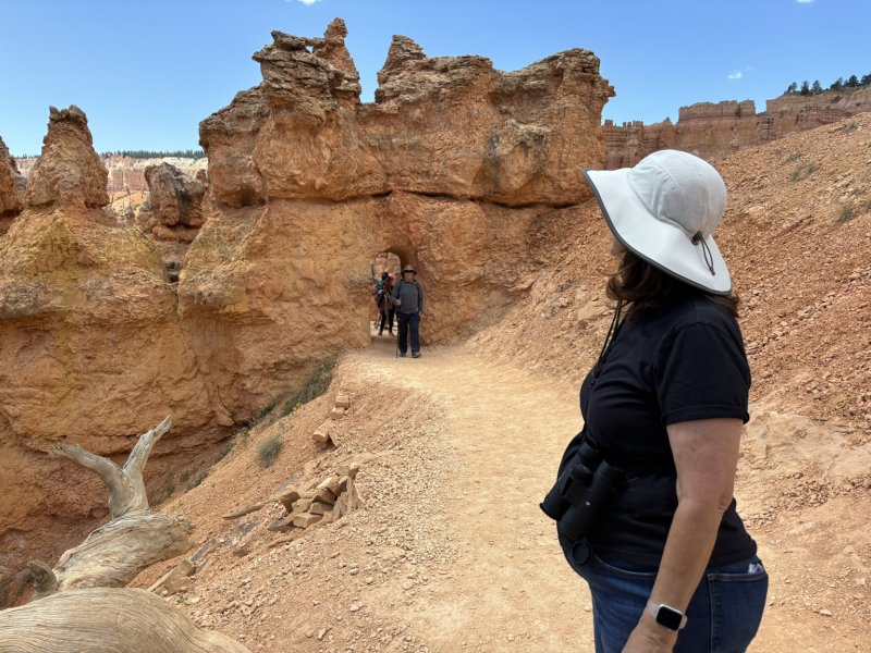
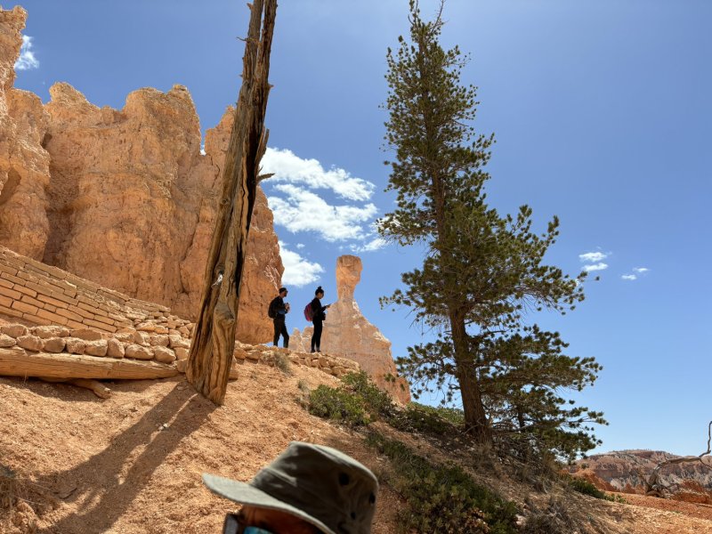
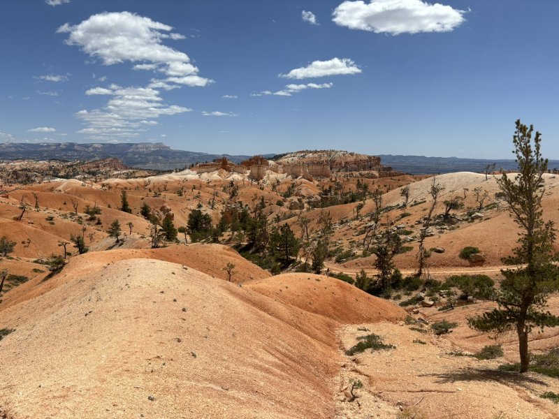
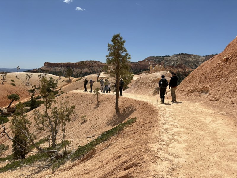
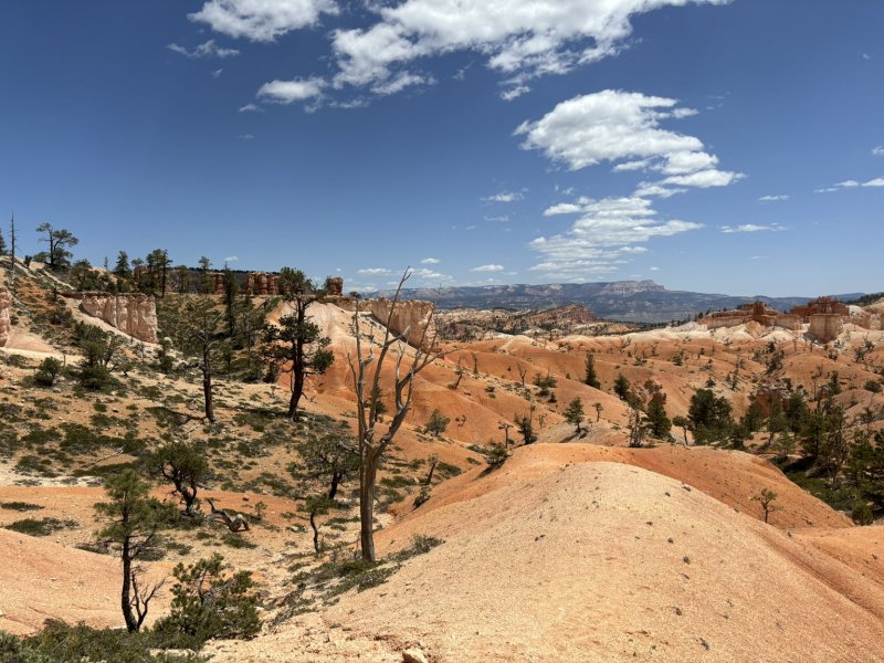
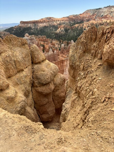
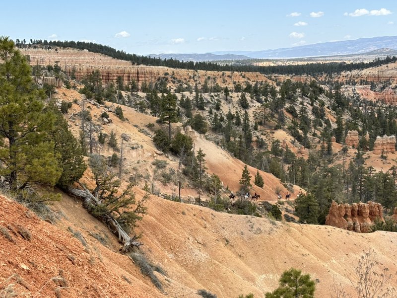
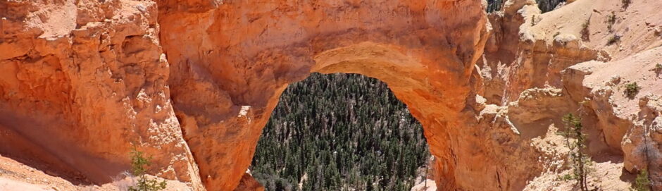
Almost all of the longer hikes in the park start at the top of the plateaus and work their way down through the hoodoos to the base of the Claron formation and then back up hill to the vehicle and beer and sandwiches. In what turned out to be a stroke of serendipity, due to weather changes, we did the longer hike that we had planned on our first full day in the park. We did the Navajo Loop and Queens Garden Trail which was a 3-mile 652-foot elevation change trail and then added the Sunrise Point to Sunset Point 1.1-mile trail to get back to the parking lot. All of the pictures below are of Day 1 in the park. Note the switchbacks, the closed Wall Street Trail and the natural bridges. A phenomenal hike with breathtaking scenery (literally on the hike up the cliffs).