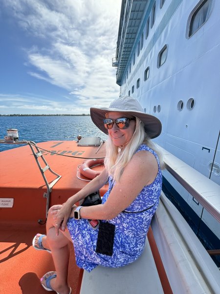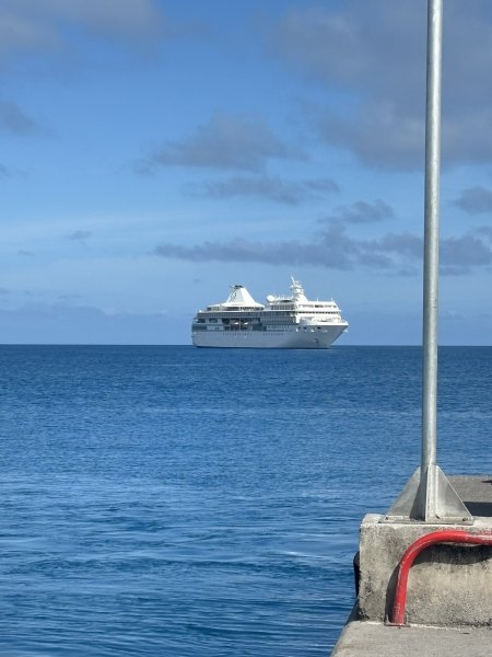
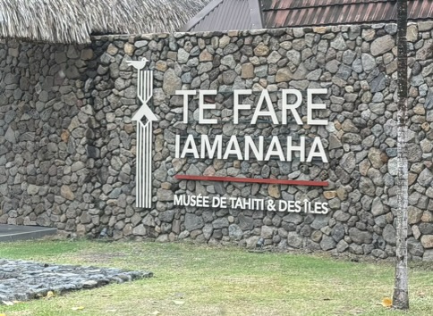
After a tour of Western Tahiti including a stop at Te Fare Iamanaha (Museum of Tahiti and her Islands) we were transported to the Paul Gauguin for boarding around 3:30 or so on Saturday afternoon. It is always a bit magical when you walk into your cabin and your baggage is sitting there, there is a bottle of chilled wine (courtesy of our travel consultant) and your cabin steward(ess) greets you and chats you up for five minutes. We ended up four doors down from our 2018 cabin, starboard side, cabin 425.
Back to the museum. This is an amazing, must see stop if you are in Tahiti. It is a very modern, well-appointed museum with incredible exhibits describing Polynesian flora, fauna, geology, history and culture. While the very attractive and accurate geology, plate tectonics and “hot spot” depictions initially attracted us, the cultural exhibits really grabbed our attention. There were several exhibits that chronicled and for those of us with unpredictable attention spans, showed with very detailed and attractive mapping, videos of the history of the Polynesian migration through the South Pacific. The migration is one of the things that has been in the back of my sometimes-cluttered mind since seeing Kon Tiki. I had this vision of a bunch of heavily tatted Polynesians sitting on the beach after a successful day fishing shooting the breeze. In my mind, I saw one of them sipping a coconut milk (maybe a bit fermented) turning to his buddies and saying “Hey, let’s get in the canoe and sail east until we find more land”. The other guys I’m sure scoffed at the idea and then the guy with the crazy idea sealed all of their fate when he asked, “what’s the matter, are you scared?” We may never actually know what their specific motivations were. Nor will we ever know how many of those canoes left and never found land and never returned home. However, Polynesian stories and lore supported with numerous archeological studies have provided a few ideas that are described in detail in this museum. Don’t miss it!!!
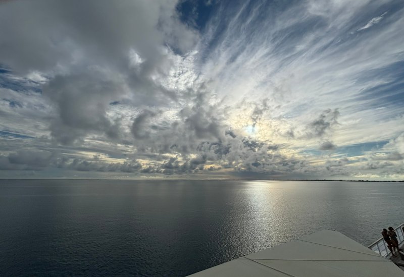
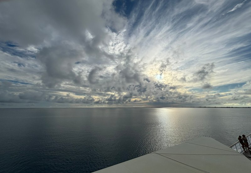
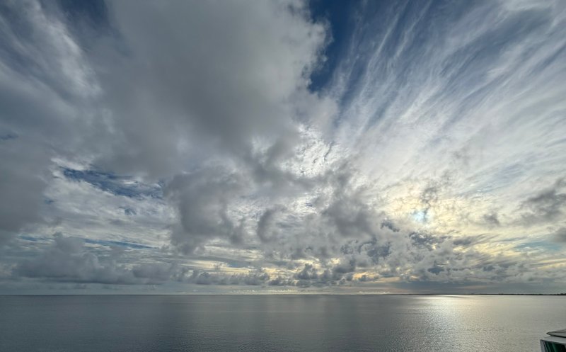
After the requisite lifeboat drill and a stop at the La Veranda restaurant (deck 6 aft) to set up dinner reservations for the trip, we enjoyed our first night dinner at the L’Etoile restaurant (deck 5 aft) as the Gauguin left the dock to begin the 210 NM or so overnight voyage heading northeast to Rangiroa in the Tuamotu Islands.
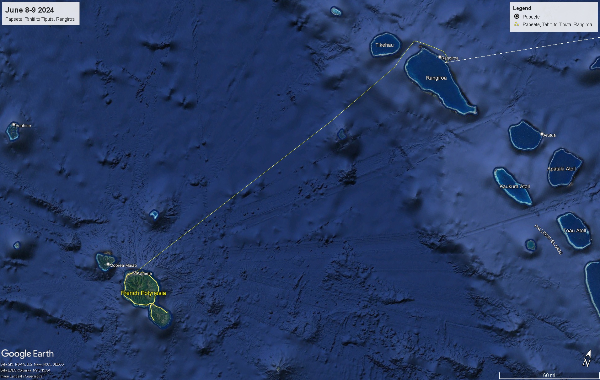
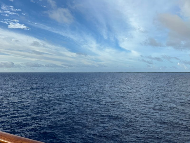
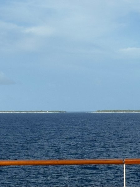
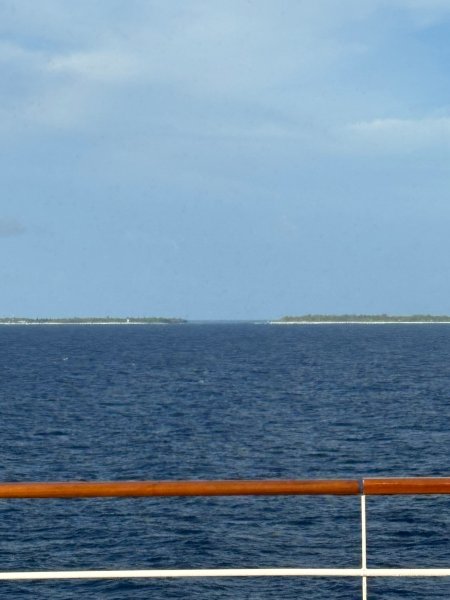
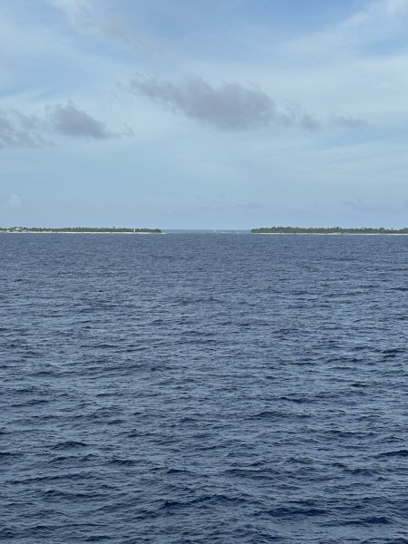
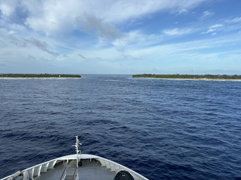
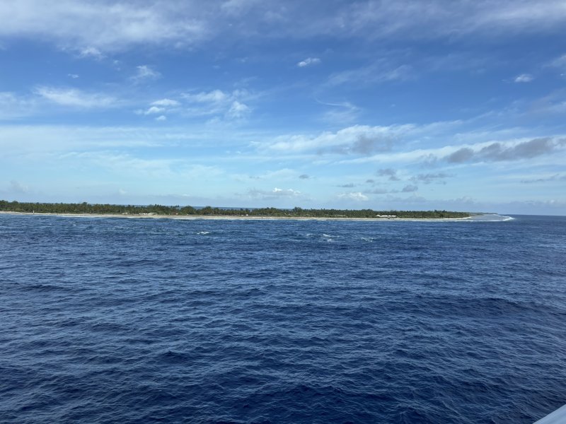
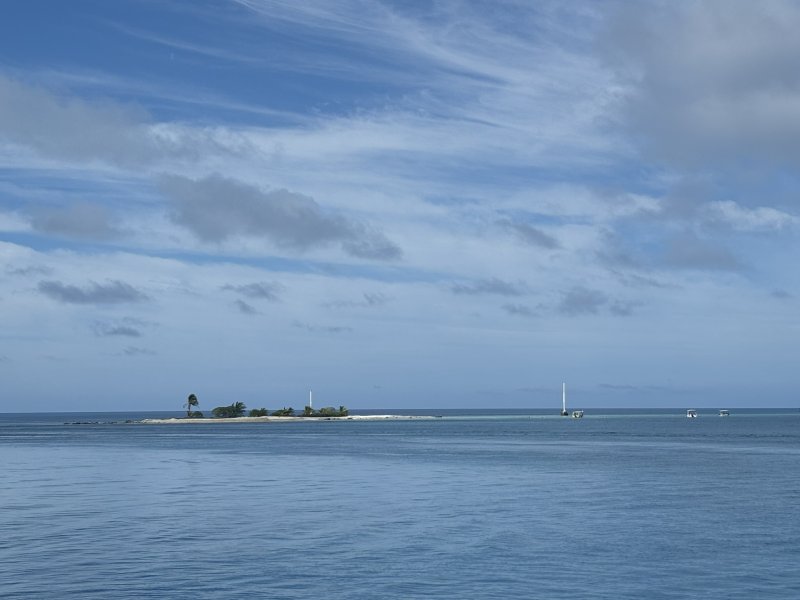
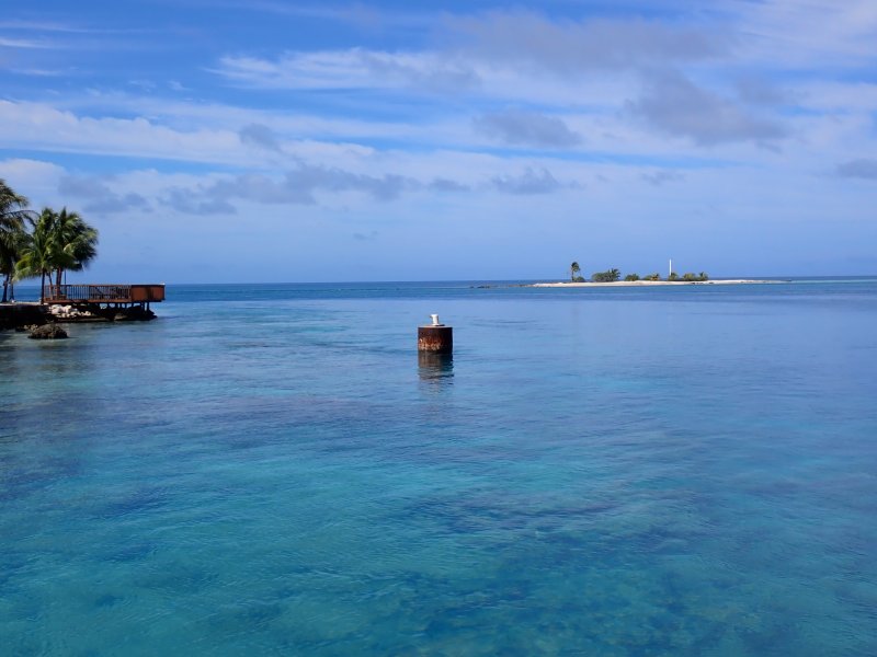
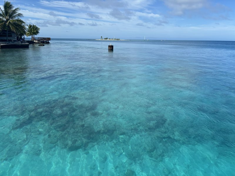
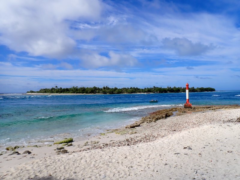
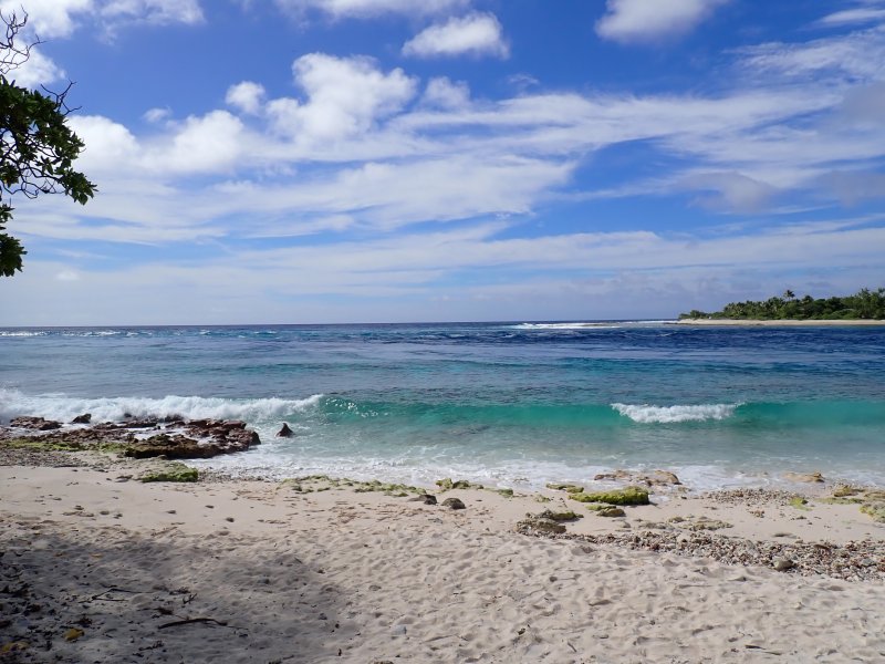
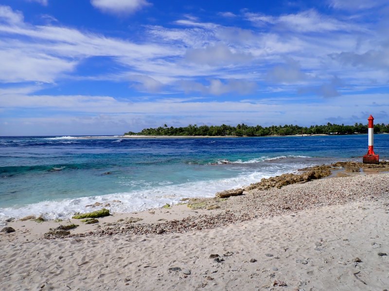
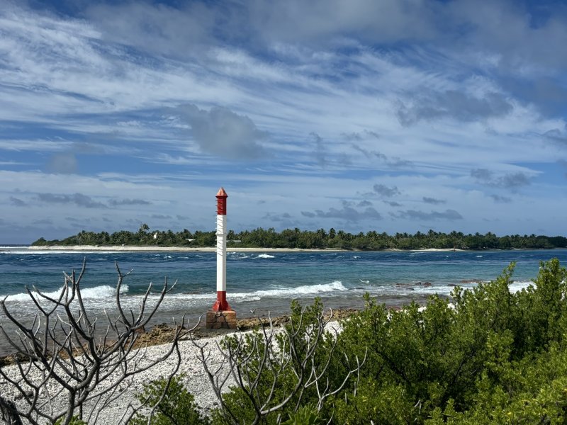
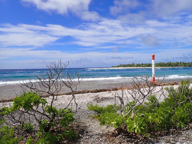
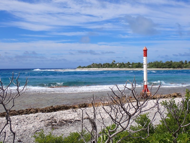
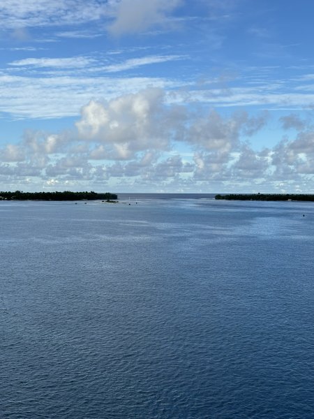
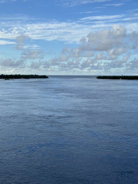
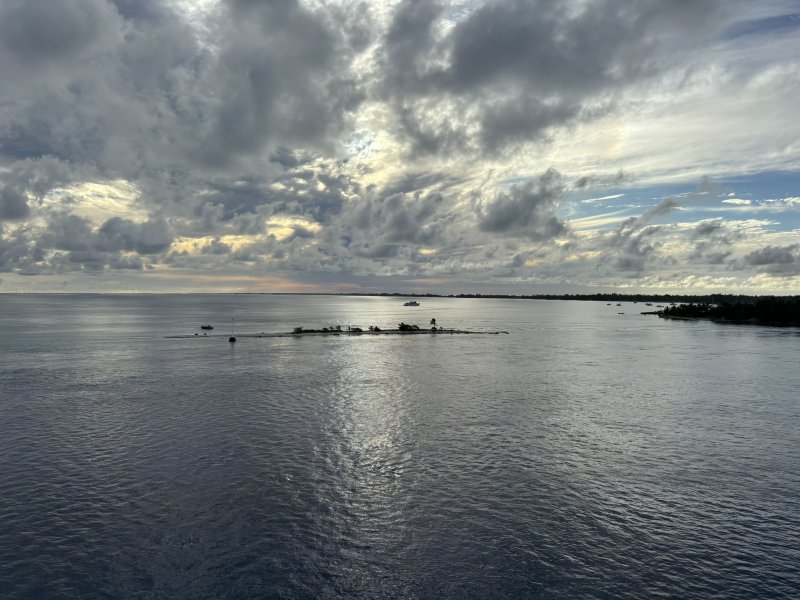
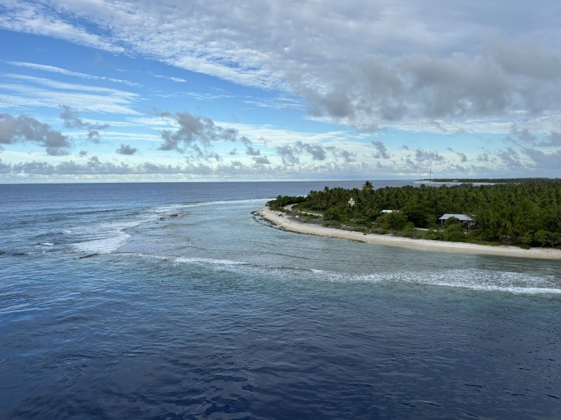
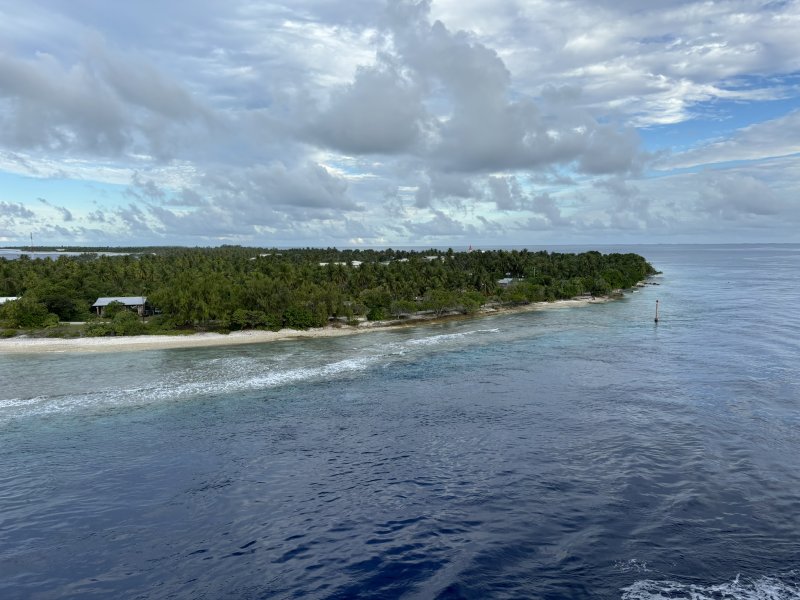
The Tuamotu archipelago (def: a group of islands closely scattered in a body of water) consists of about 80 islands and atolls, Rangiroa being the largest atoll in the Tuamotu Islands. An atoll is a ring-shaped island that includes a coral rim that encircles or creates a lagoon. However, the coral ring is generally not contiguously above sea level. There are about 100 or so shallow and narrow passes that open into the Rangiroa lagoon.
A short diversion here for geology. The Tuamotu Islands sit on a large underwater plateau oriented from the northwest to the southeast. While volcanic in origin, the Tuamotu Islands are now predominately composed of coral. Geologists continue to study the underlying tectonic forces that created not only the Tuamotu Islands, but the Society Islands, the Marquesas, the Pitcairn-Gambier, Hawaii and several other island chains in Polynesia. Until recently, the formation of these islands was more or less universally attributed by geologists to mantle hot spots which are (relatively stationary) sources of upwelling of hotter magma from the mantle which then either directly or indirectly finds its way through the crust sometimes along crustal fractures that have formed in the tectonic plate. While I am not one to strongly question long held geologic beliefs, I would point out that it was not until the 1970’s when geologists accepted the whole concept of plate tectonics and wandering continents. For the sake of brevity, because it is absolutely clear that all of these islands have a volcanic origin composed of basalt from subsea magma and they all pretty much are oriented in similar directions, let’s go with the hot spot theory.
Then we have to answer the question how did the atolls of the Tuamotu Islands form? An atoll is the result of several geologic and biologic processes.
- A volcanic island forms beginning as a subsurface volcanic vent which eventually rises above the ocean surface. The size of the Rangiroa lagoon suggests that there were several volcanic vents and cones within this area.
- Corals begin to build a fringing reef around the volcanic island.
- Over time, the volcanic material that created the island erodes and sinks (really???) below the ocean surface. What remains of the volcanos are now subsurface features within the lagoon. The maximum depth of the lagoon is currently about 115 feet.
- The coral reef continues to grow upward and outward, eventually forming a ring-shaped structure with a central lagoon.
As an interesting aside, the last glacial maximum occurred about 20,000 years ago. During this period because significant water was tied up as ice, sea levels worldwide were about 400 feet lower than they are now. The Tuamotu islands were probably above water as volcanic cones with ringing lagoons. Some other miscellaneous Rangiroa facts and figures. The lagoon is 50 miles long and from 2 to 20 miles wide. The population of Rangiroa is about 2,500 or so. There are two primary passes in the reef. Daily tidal fluctuations move significant volumes of water and thus nutrients and sea life in and out of the lagoon. The only source of potable water is cisterns with collected rainwater and runoff.
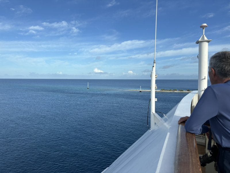
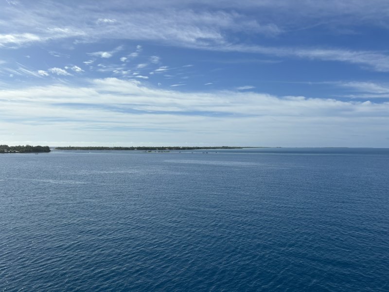
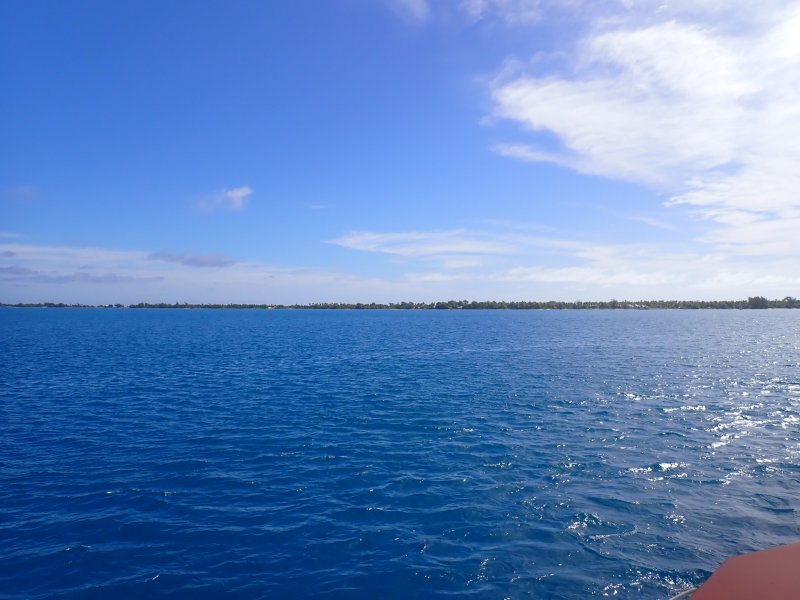
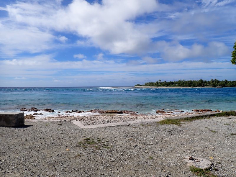
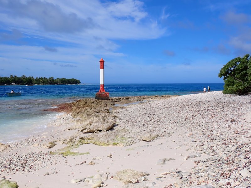
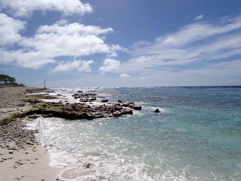
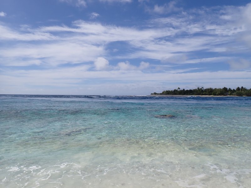
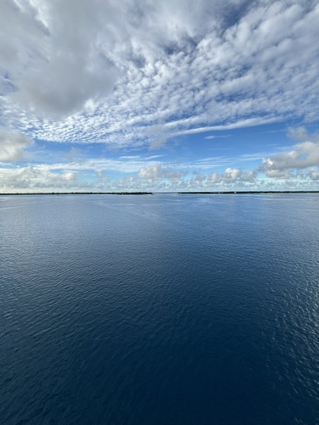
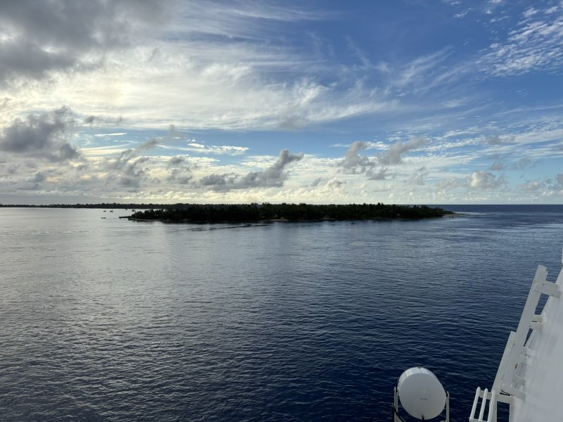
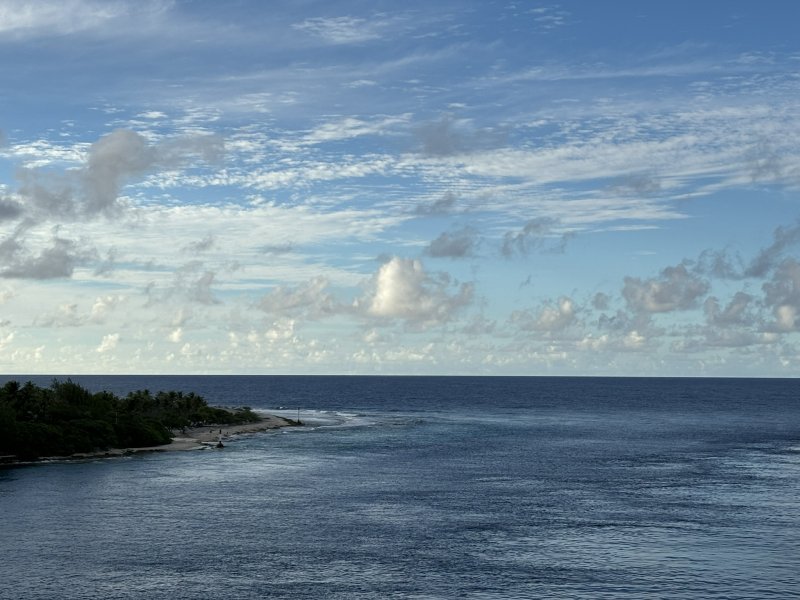
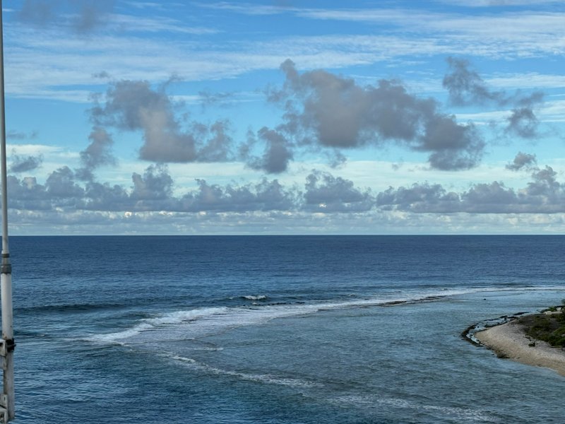
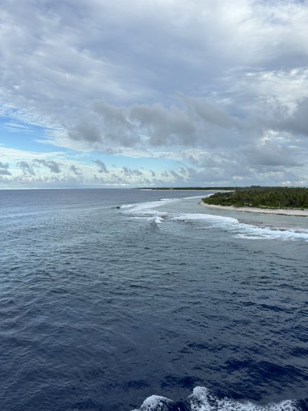
Finally – Rangiroa!! I think the Tiputa Pass entrance and the overall geography of the atoll were what impressed us the most about Rangiroa. With a close second of the scenery and the absolute potential impact on the inhabitants’ homes and way of life that a significant change in sea level would cause.
The video below (click on it — it might work) is of the Gauguin making its way through the sporty waters of the Tiputa Pass. Looks like it would be a bit of a nail biter on a 44-foot sailboat. Would have go to all of the trouble of checking tide tables, timing the entrance, hoping the motor did not die ….
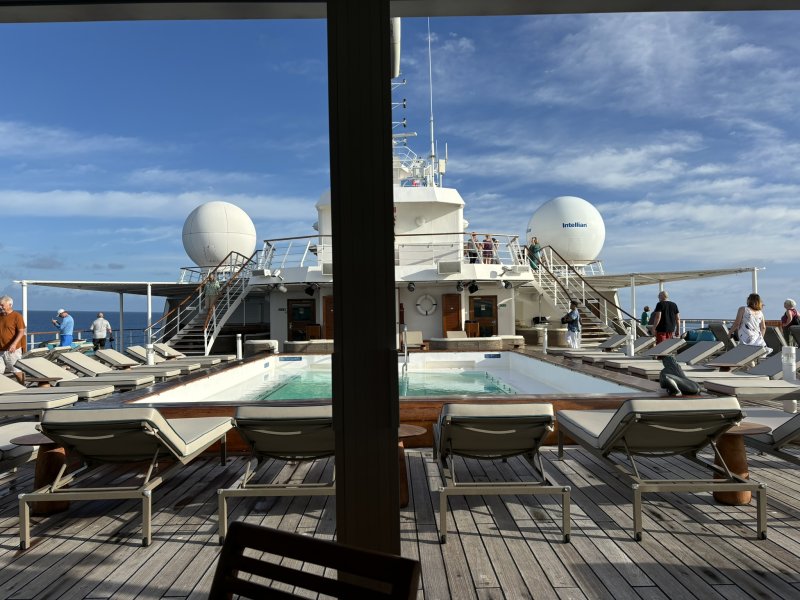
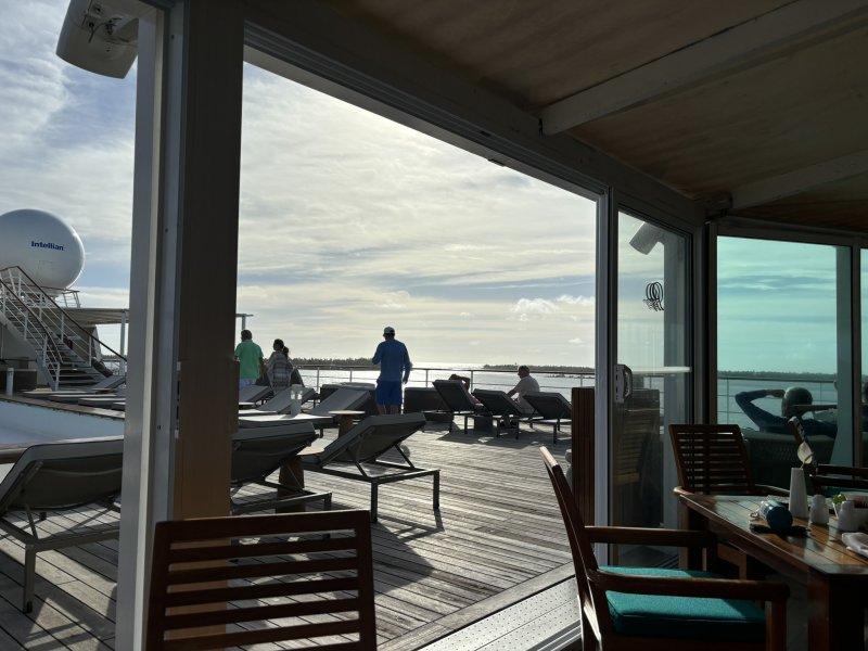
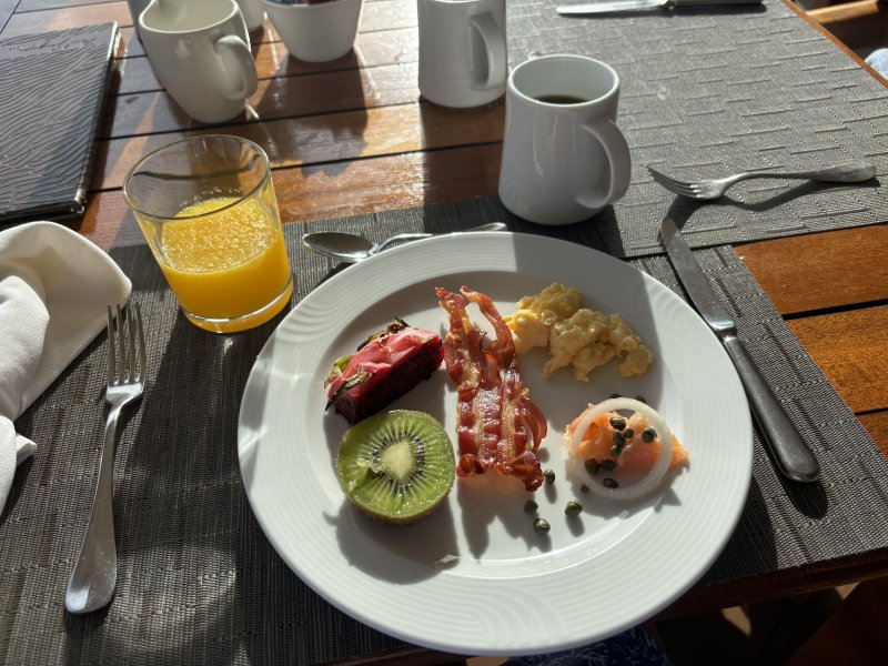
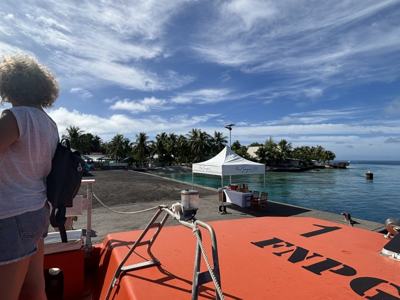
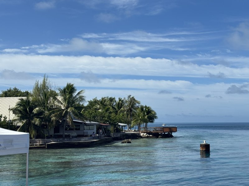
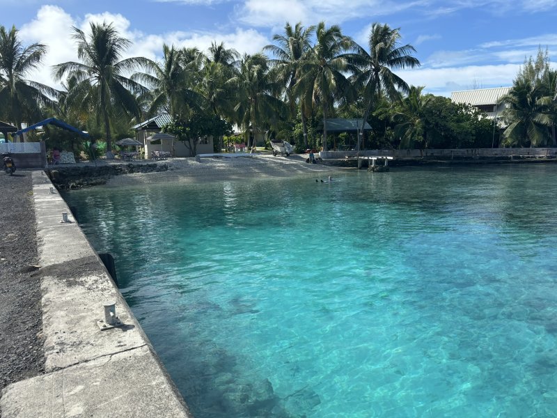
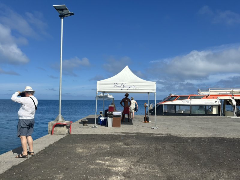
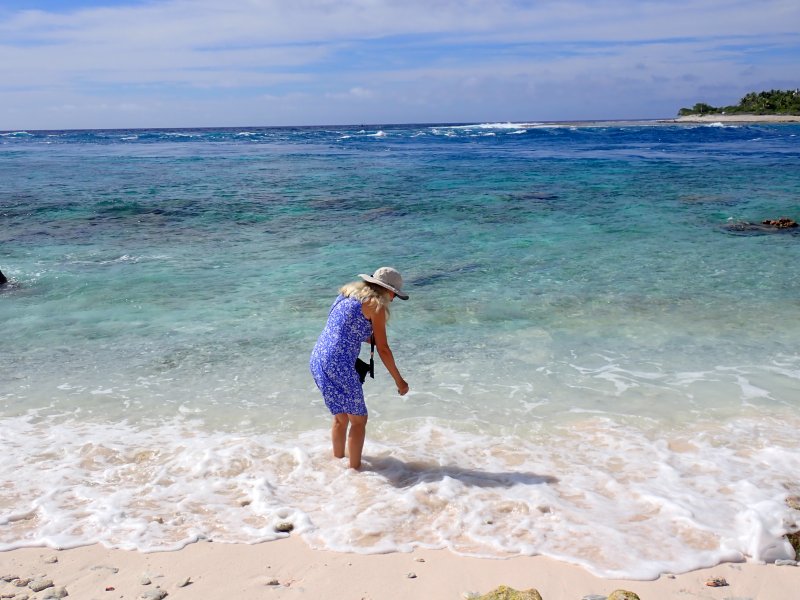
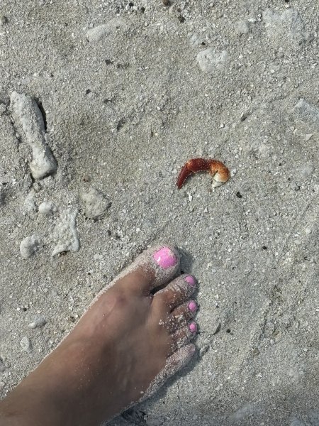
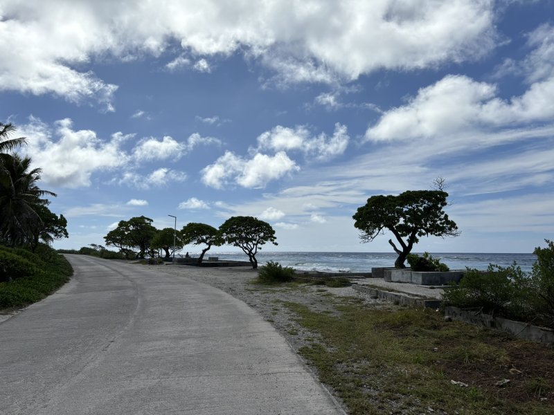
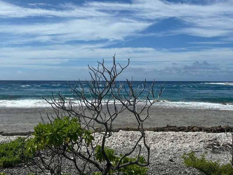
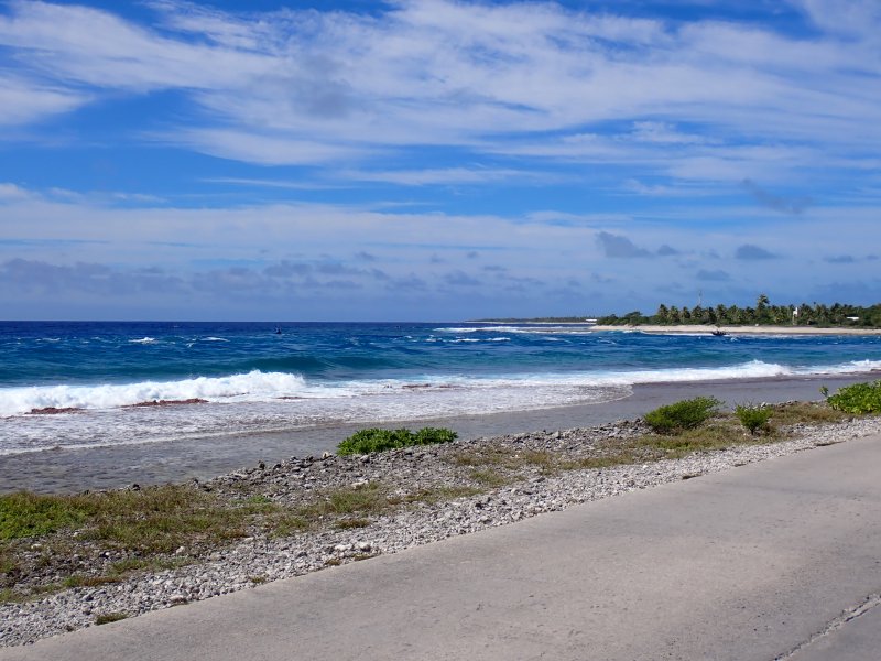
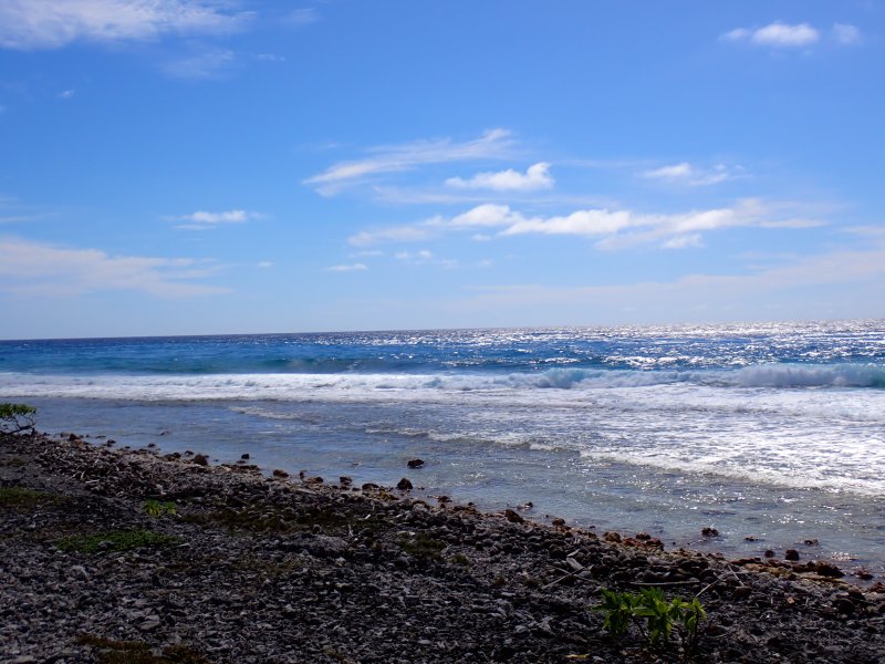
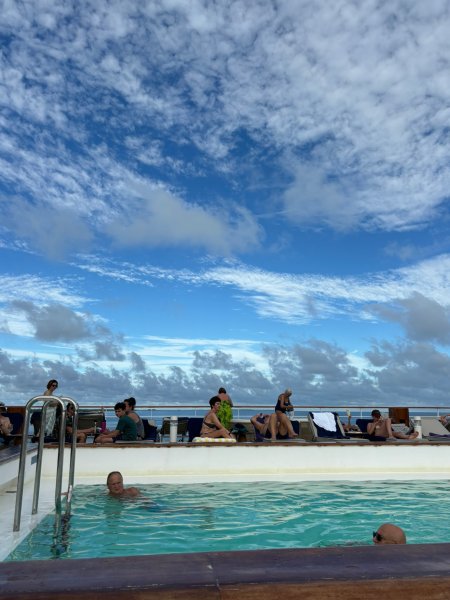
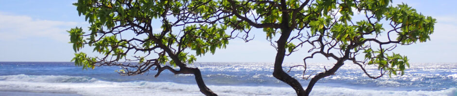
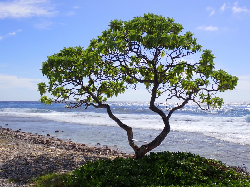
Our day in Rangiroa started with breakfast at the grill on deck 8 adjacent to the pool. Joni was very excited to find that on the Gauguin, bacon means crispy bacon! We caught an early tender to shore and walked across the atoll from the lagoon to the Pacific beach, paralleling and enjoying the views of the pass. We found an appropriate view of the shore and beach and placed a bit of Jeff in a spot that we were pretty confident he would have selected as an easy chair-boat drink spot. After dropping off Jeff, we noticed that there were a couple of the local dogs fishing. Something that we had never seen before. Did not say they were catching, but no question they were fishing.
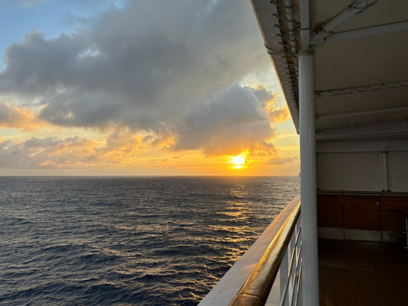
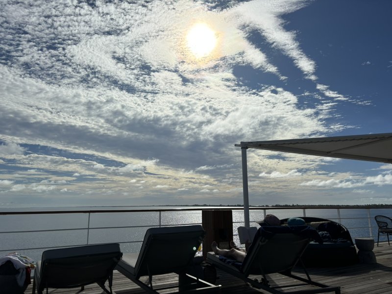
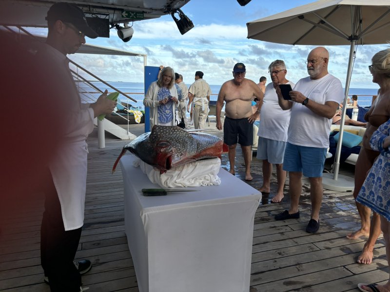
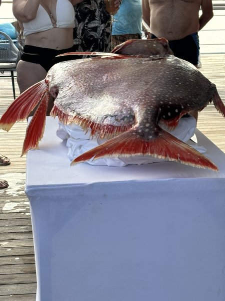
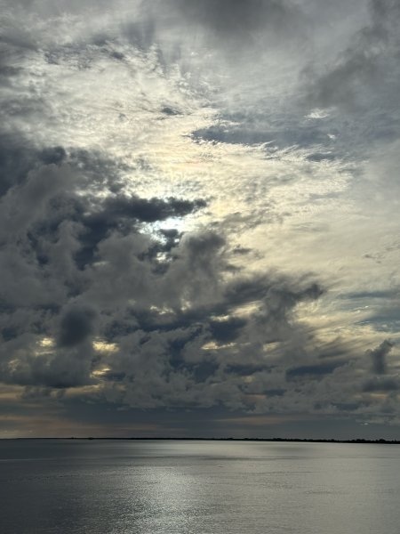
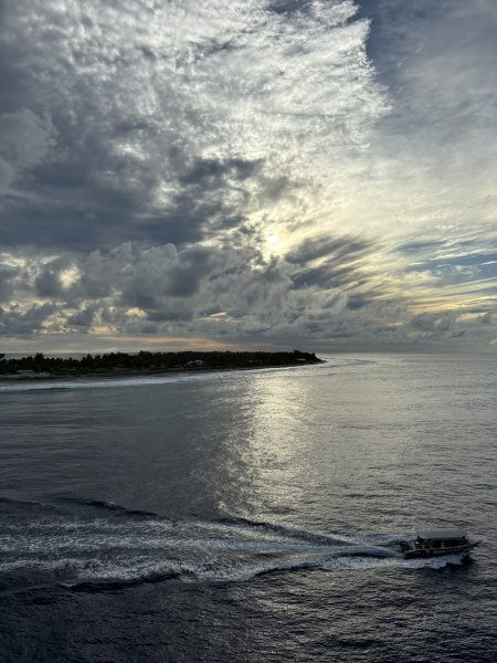
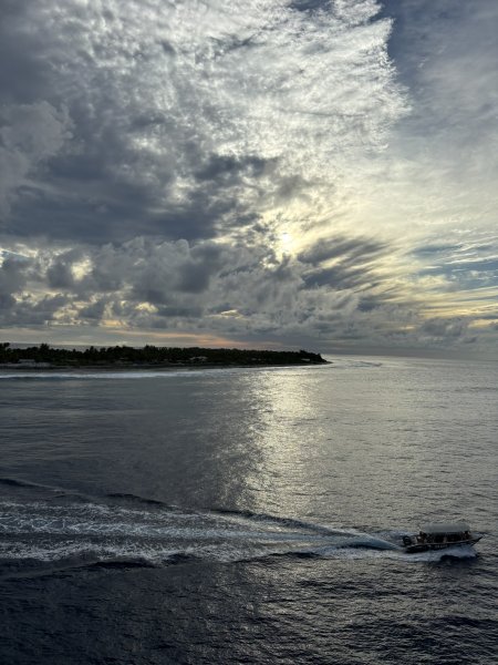
After getting back to the ship, there was a bit of time to hang out at the pool with a drink of the day and then a moon fish carving demonstration. As we left Rangiroa, again transiting a fairly sporty pass, the looming sunset and clouds caught our eye as we embarked on an almost 600 NM passage northeast to the Marquesas.