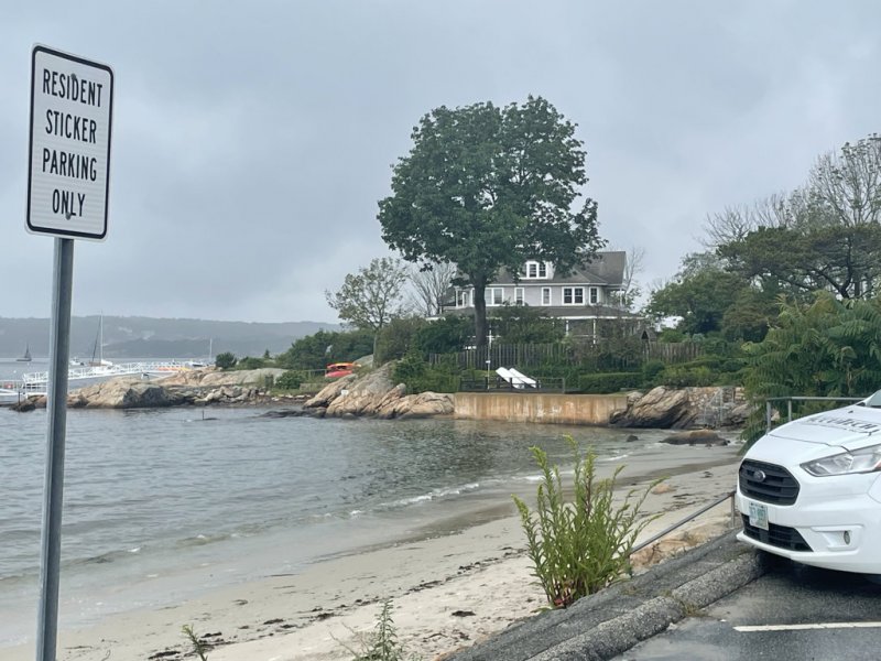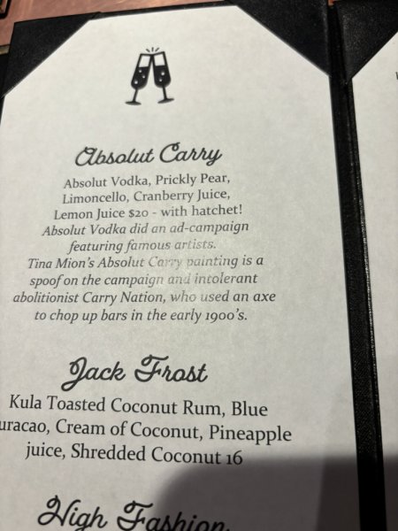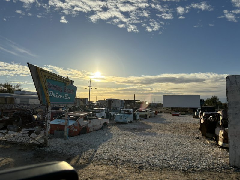
Recently this blog and the gollywobbler domain were migrated to a new hosting service due to previous hosting service wanting almost 4 times the annual fee that the new host, which is faster and more focused on WordPress blogs wanted to charge…. Not that I won’t be in the same boat in three years. But that is in three years.
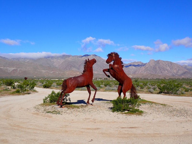
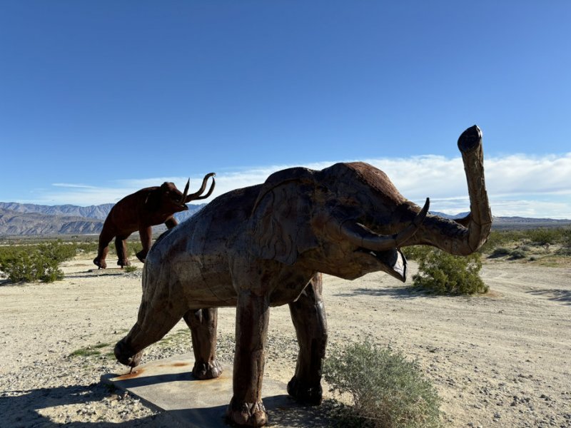
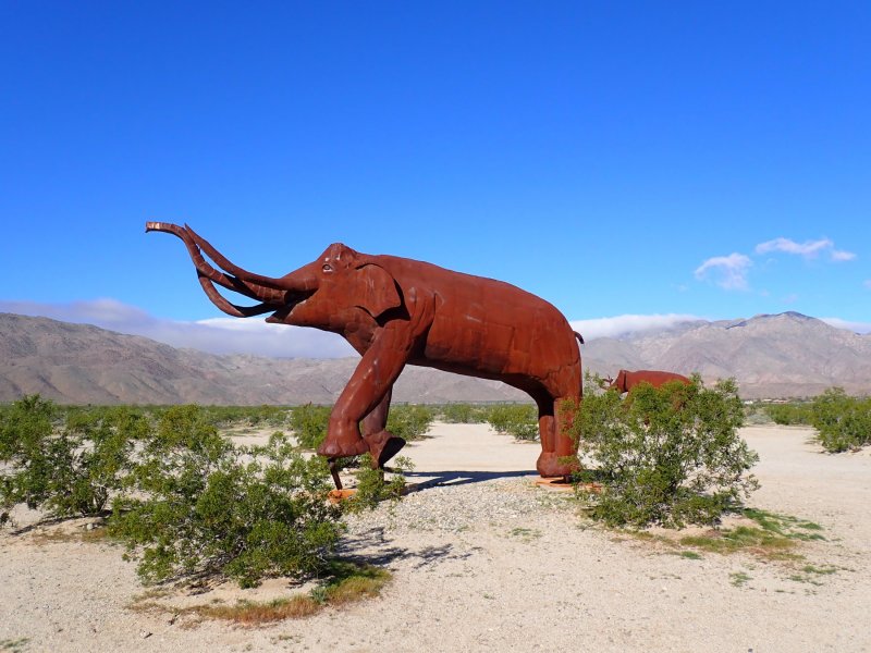
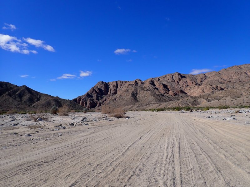
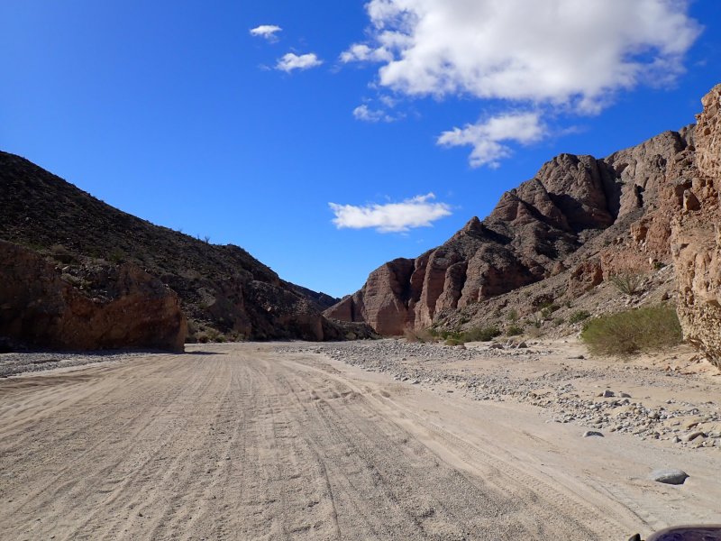
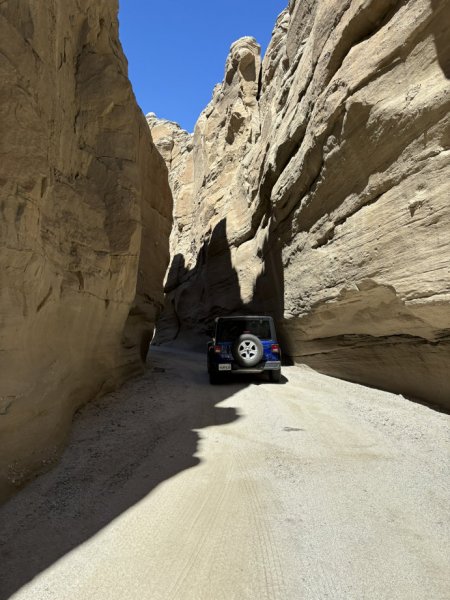
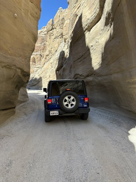
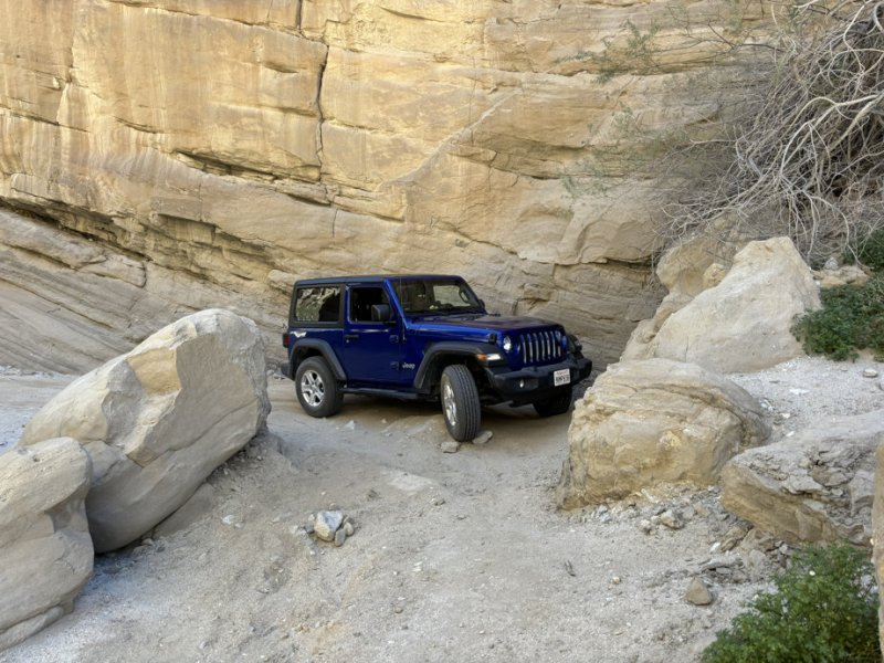
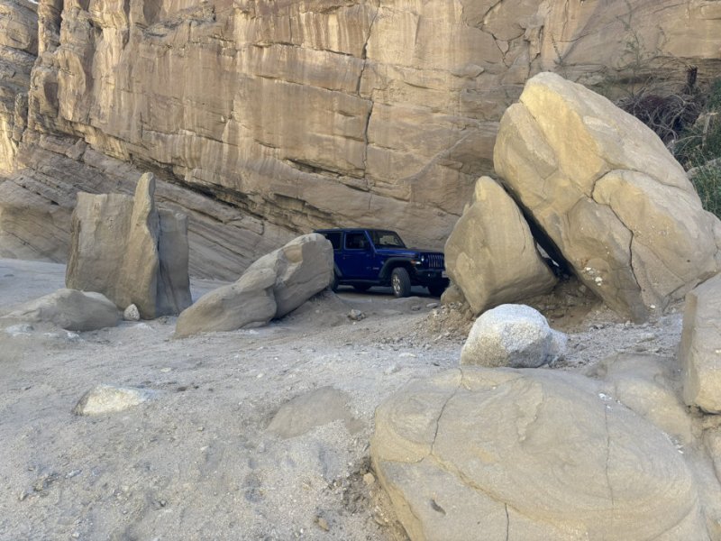
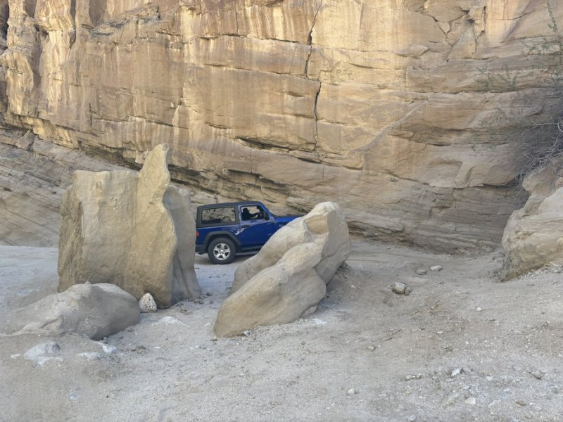
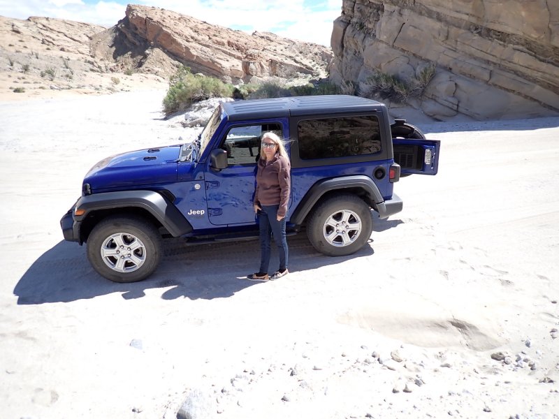
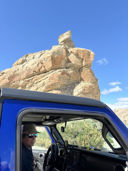
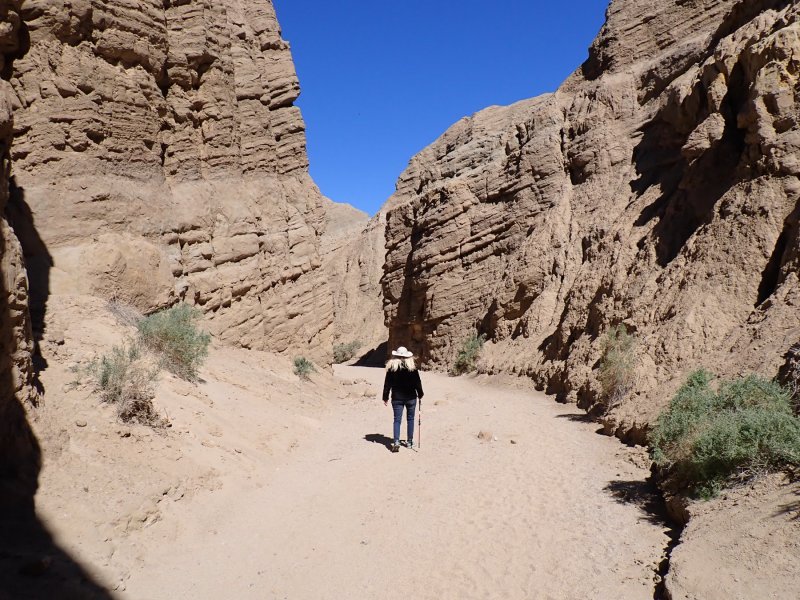
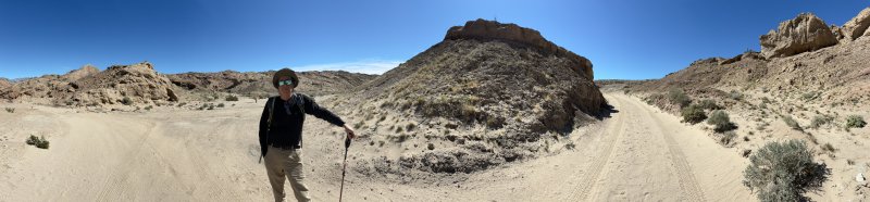
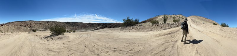
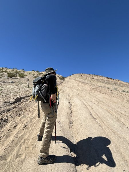
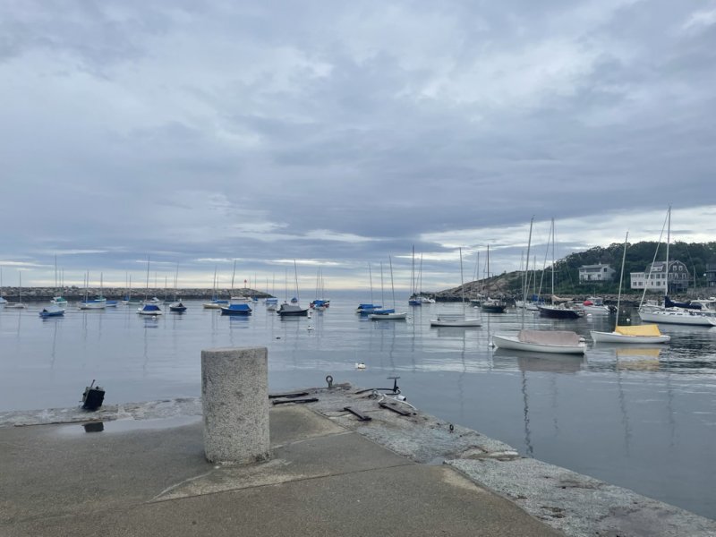
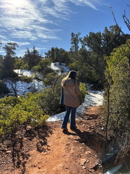
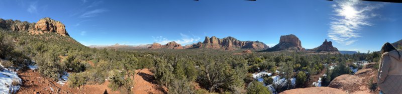
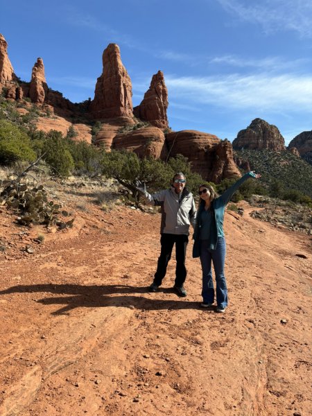
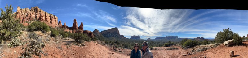
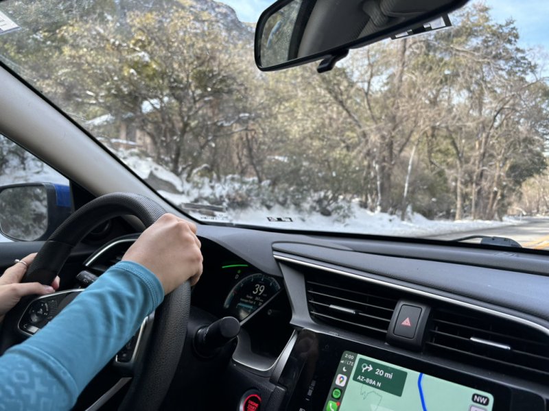
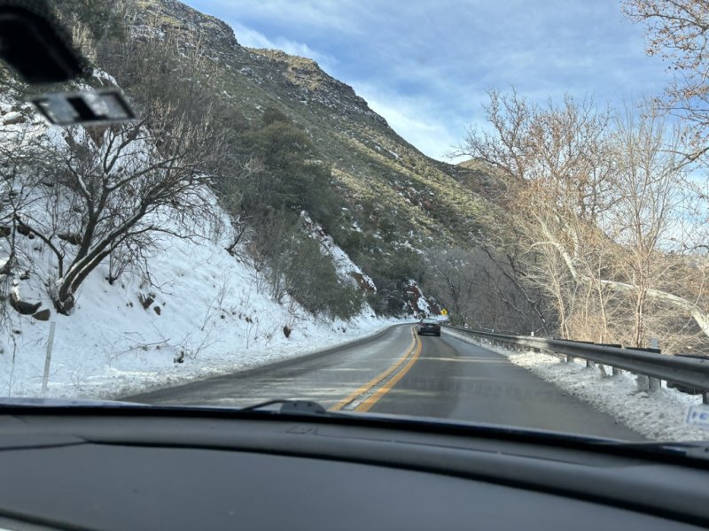
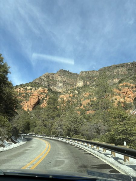
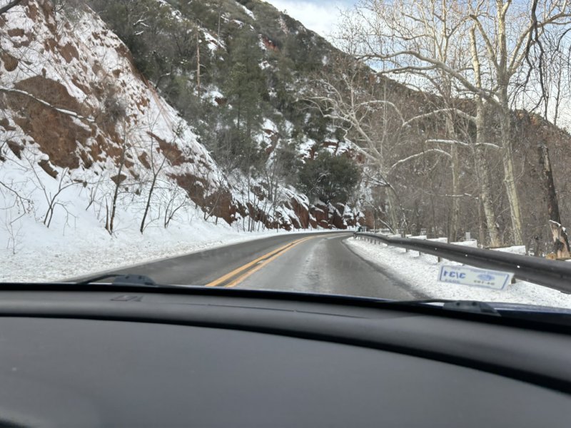
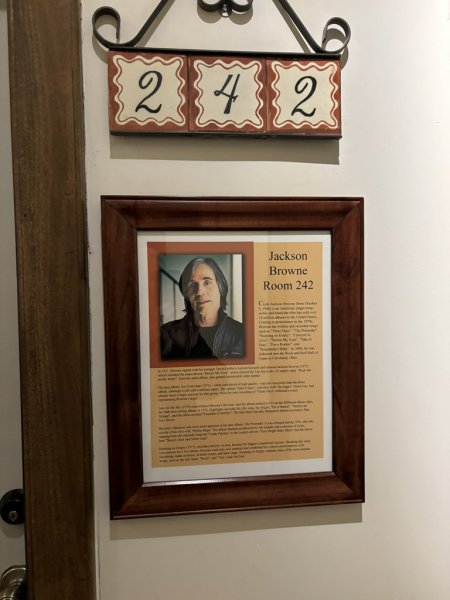
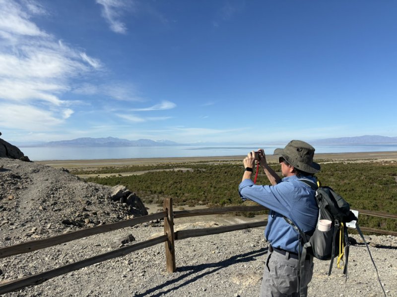
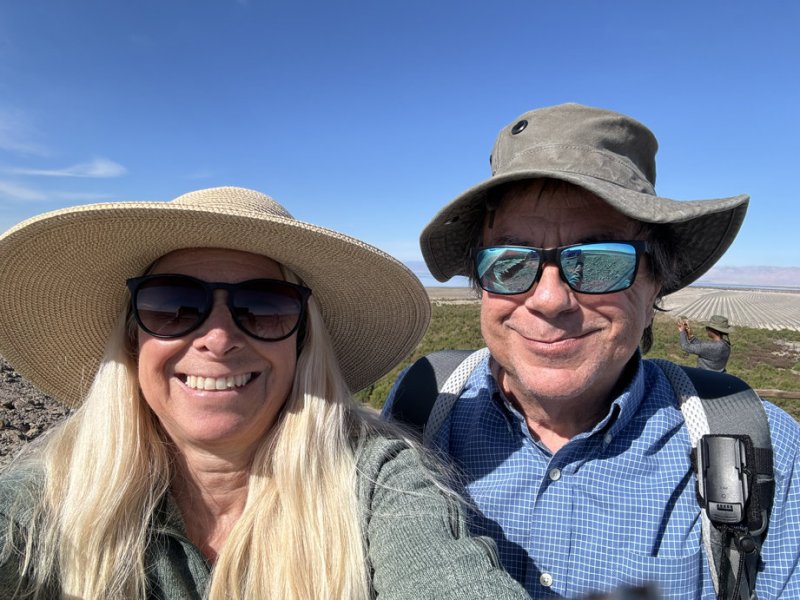
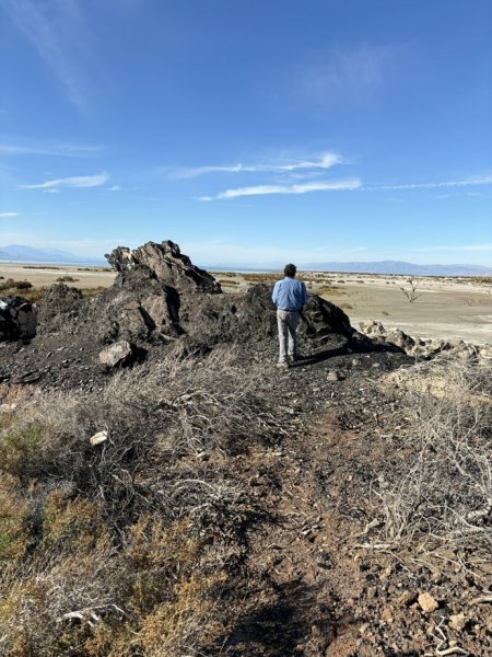
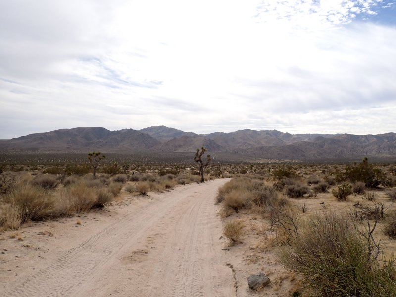
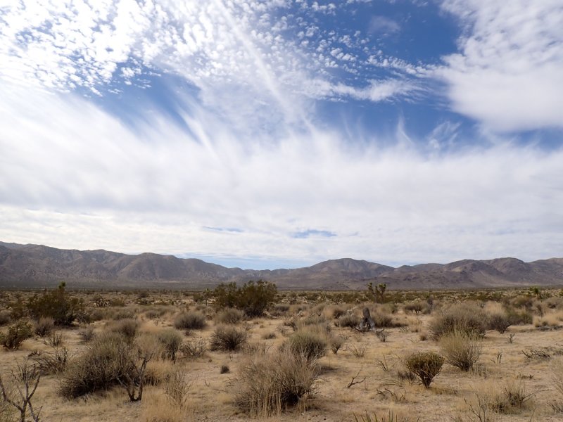
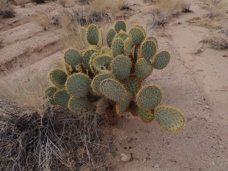
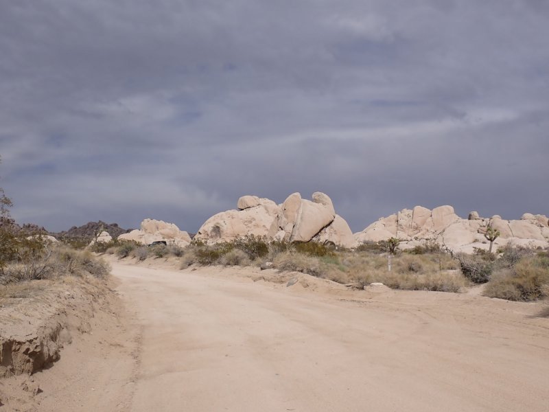
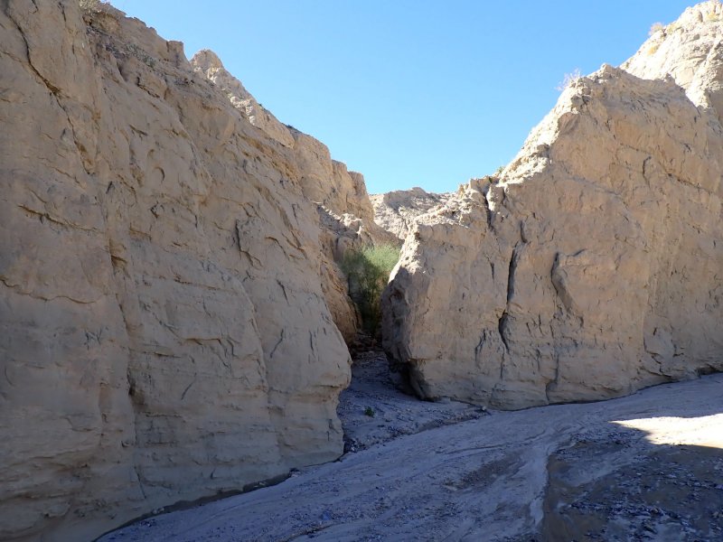
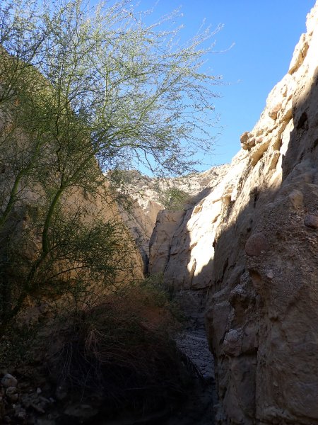
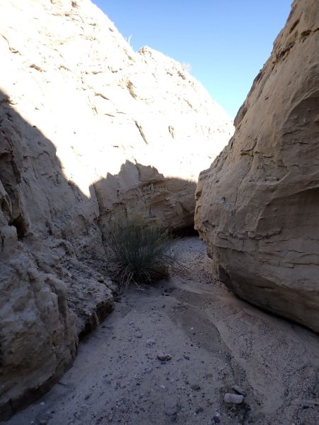
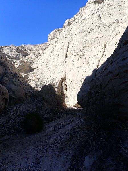
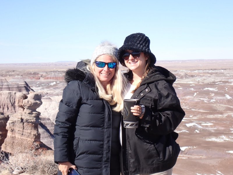
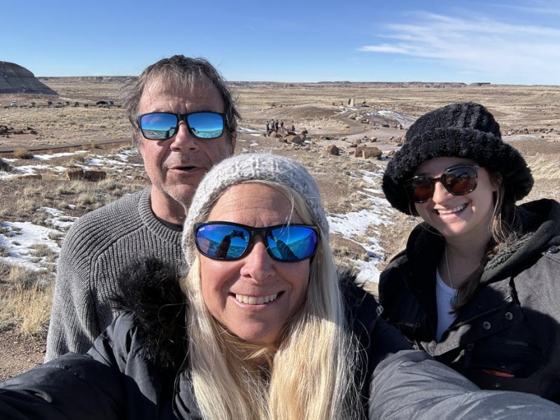
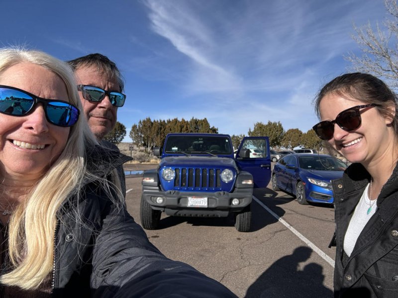
The motivation for this blog is to lay a foundation for a trip taken in early May to southern Utah that will be chronicled in blogs that follow.
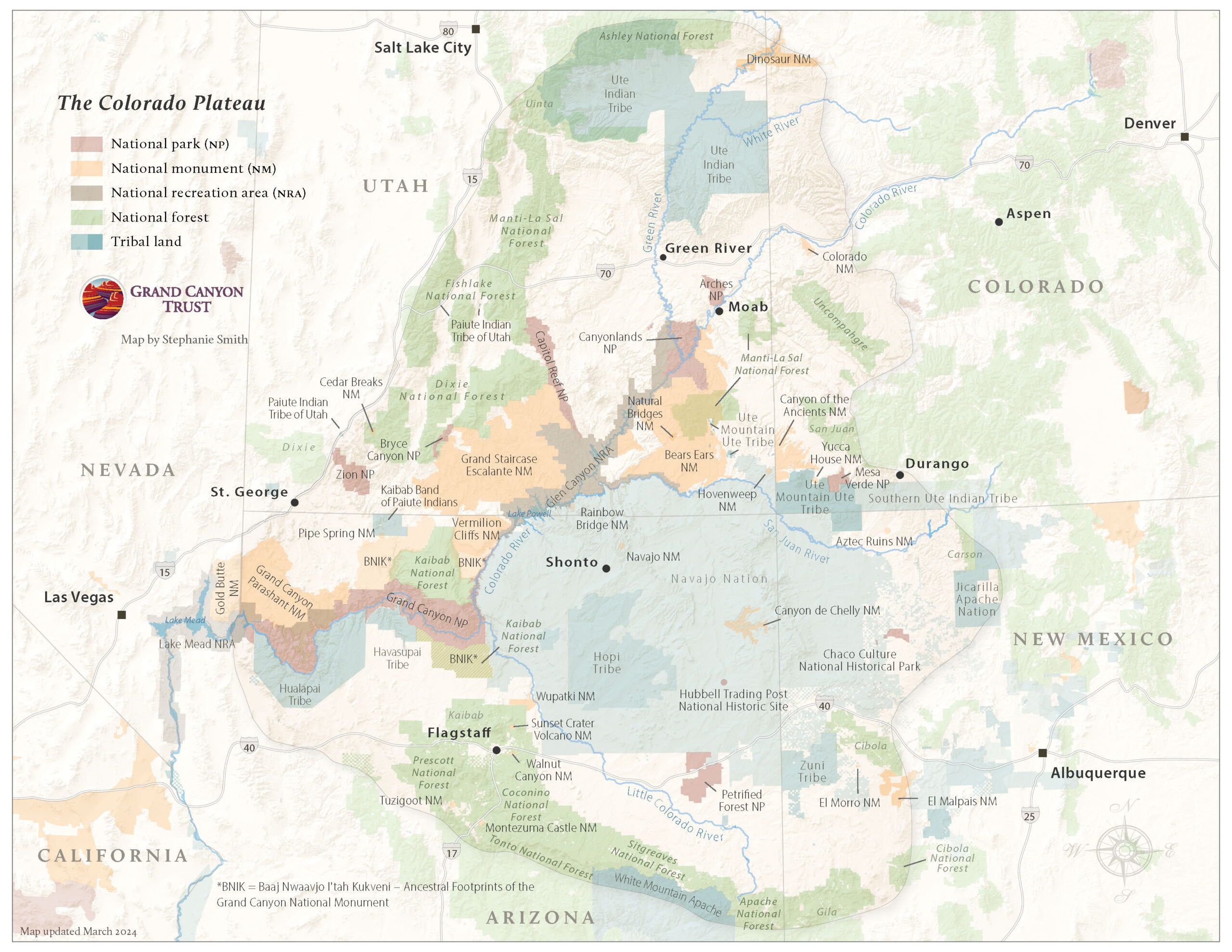
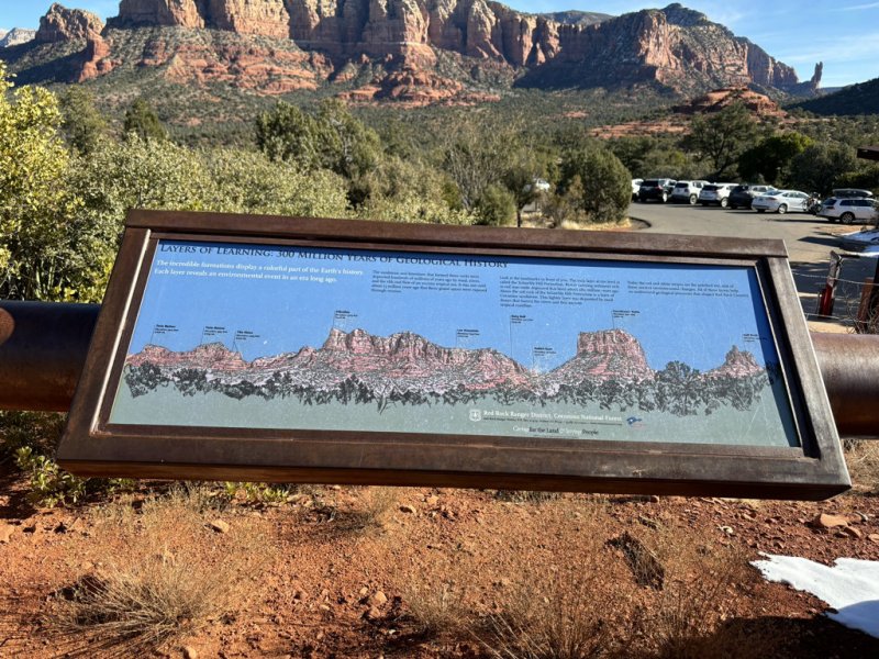
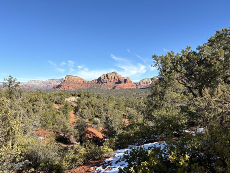
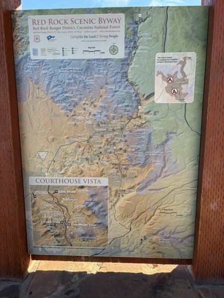
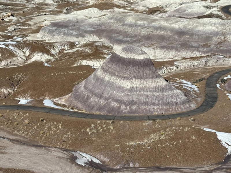
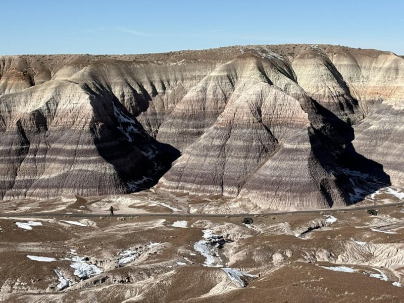
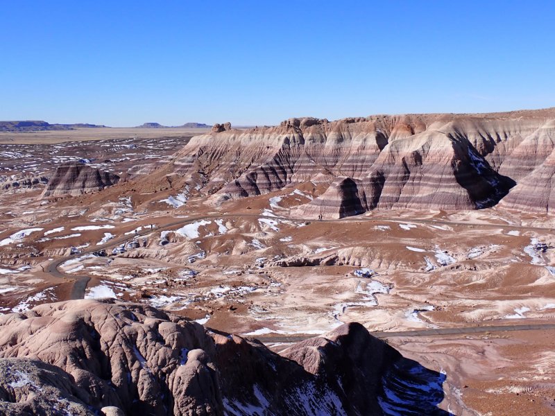
The Colorado Plateau is a physiographic/geologic province that is only partially in Colorado and is characterized by mountains, deserts, domes, hoodooos, fins, reefs, canyons, basins and (wait for it…..) plateaus. The elevation varies from 2000 ft. above sea level (asl) in the Grand Canyon to over 12,000 feet asl in the Henry and LaSal Mountains in southeastern Utah. The major drainages are the Colorado River which drains over 90% of the Colorado Plateau with notable contributions from the Rio Grande River. If you look closely at the map above, you can see a boundary outline of the Plateau.
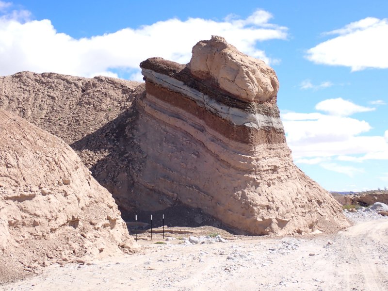
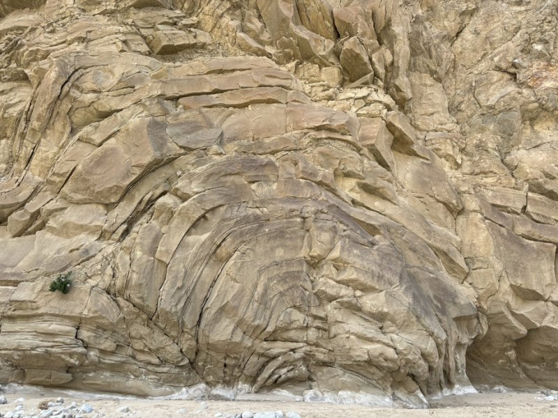
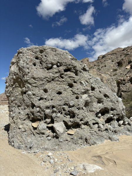
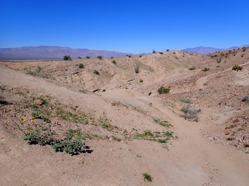
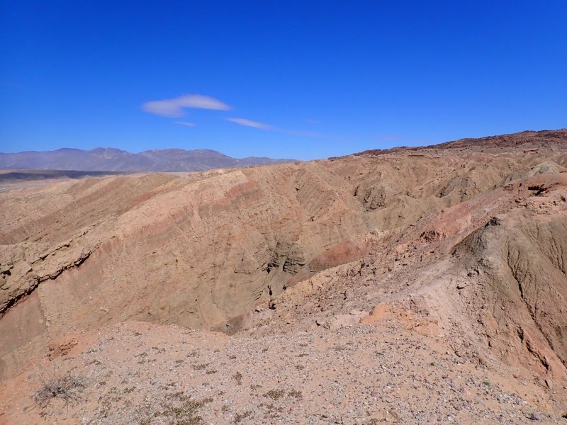
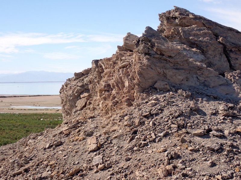
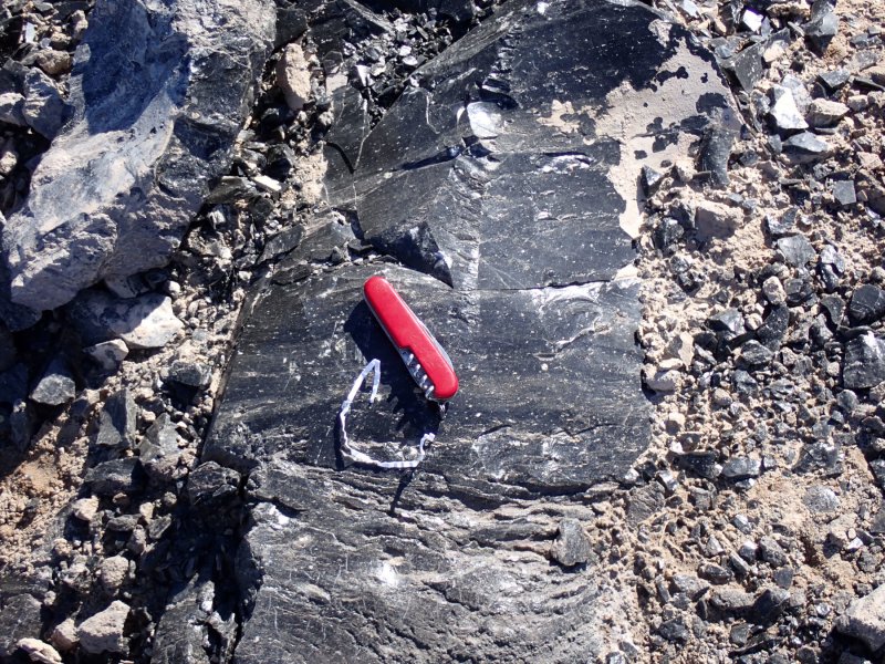
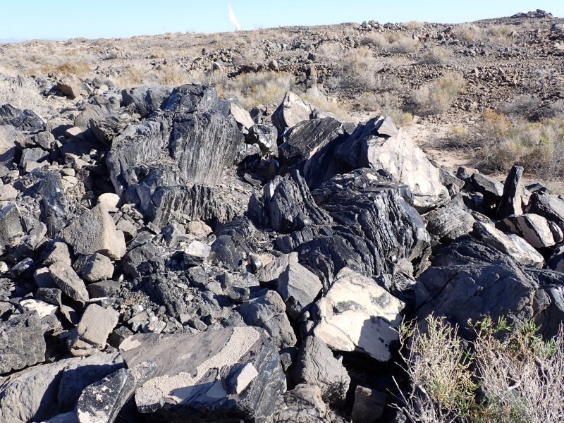
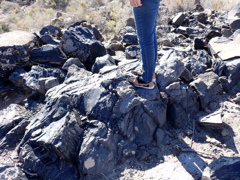
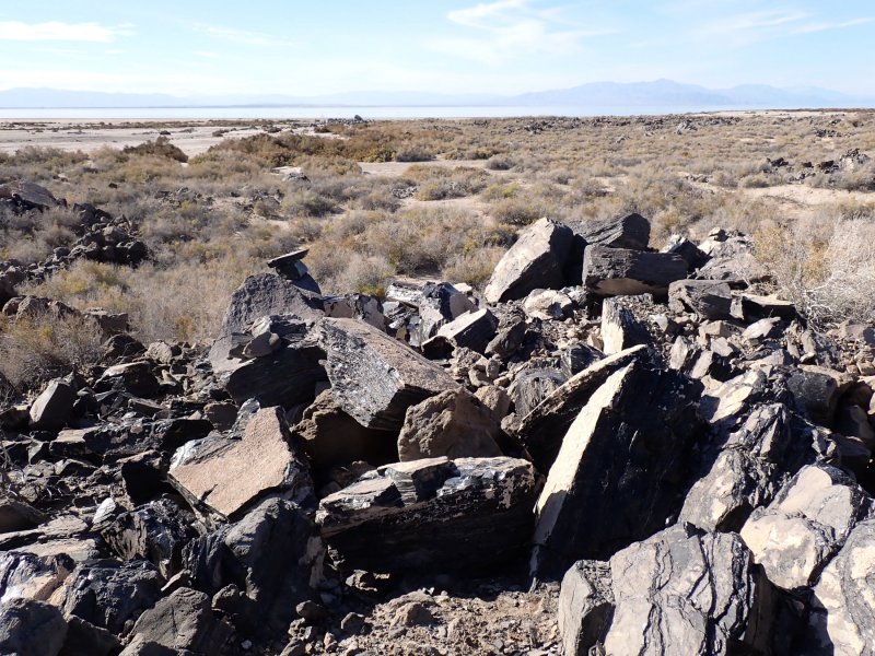
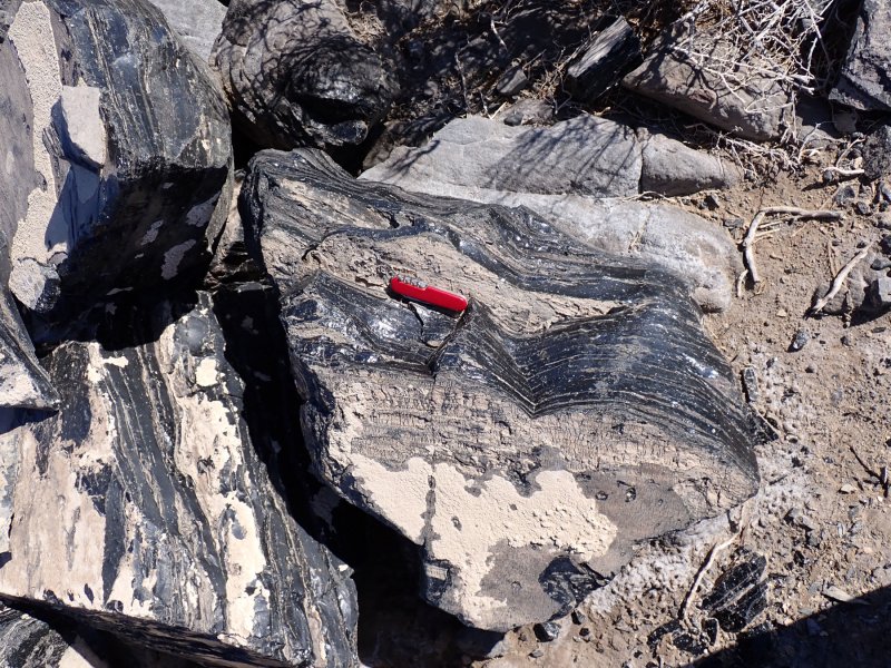
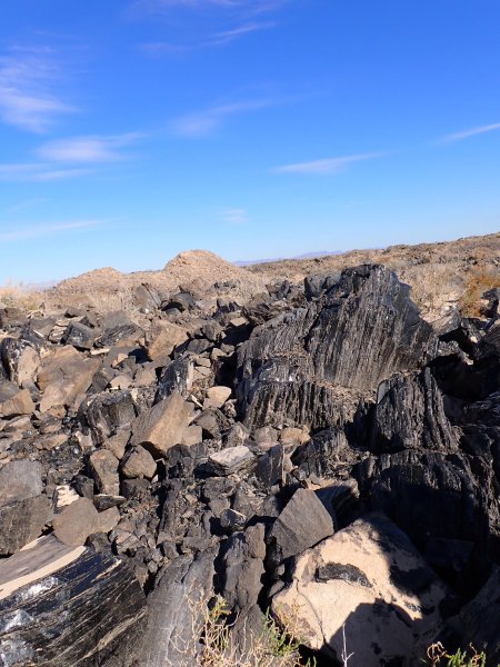
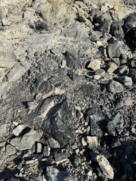
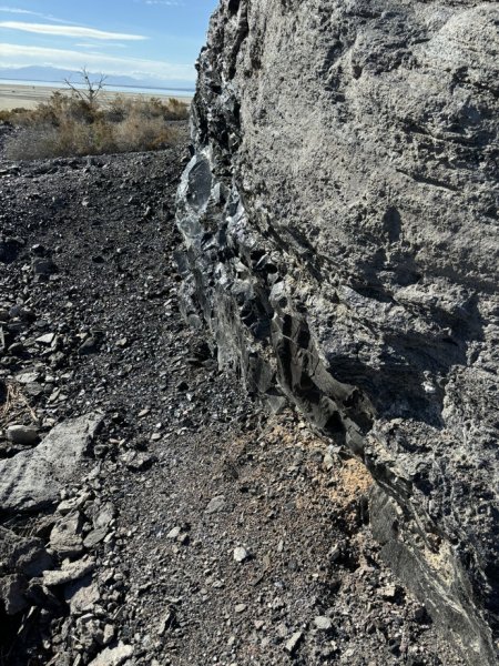
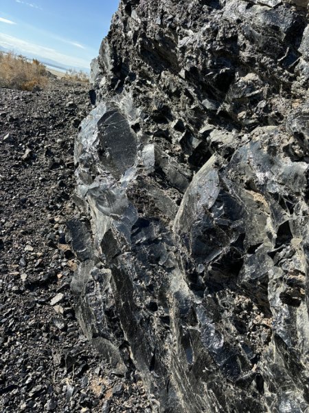
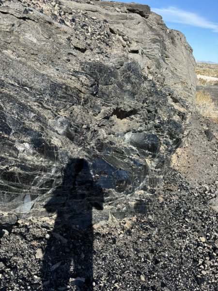
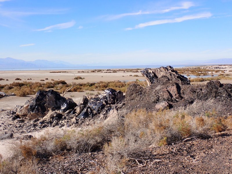
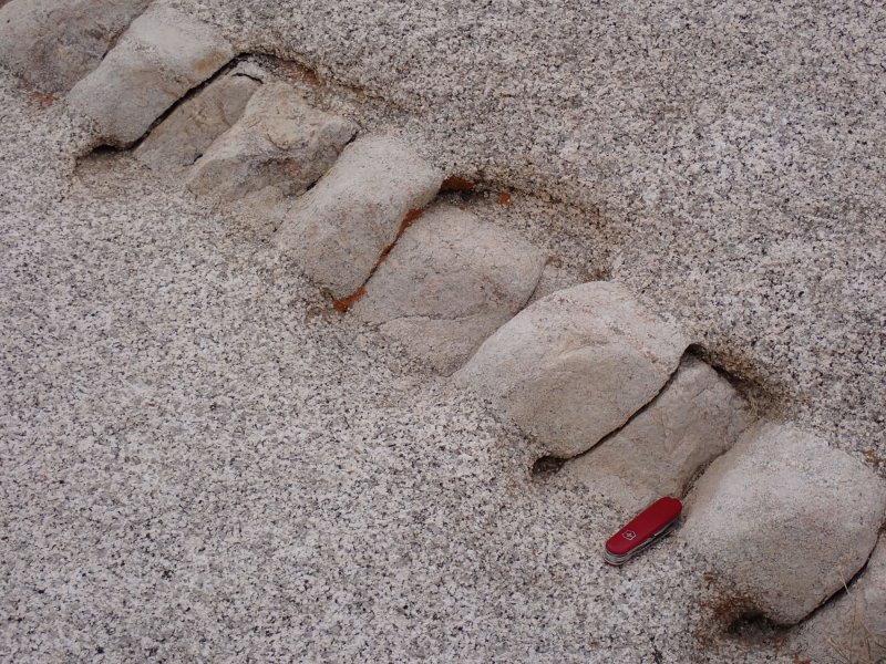
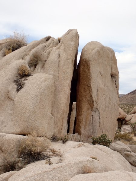
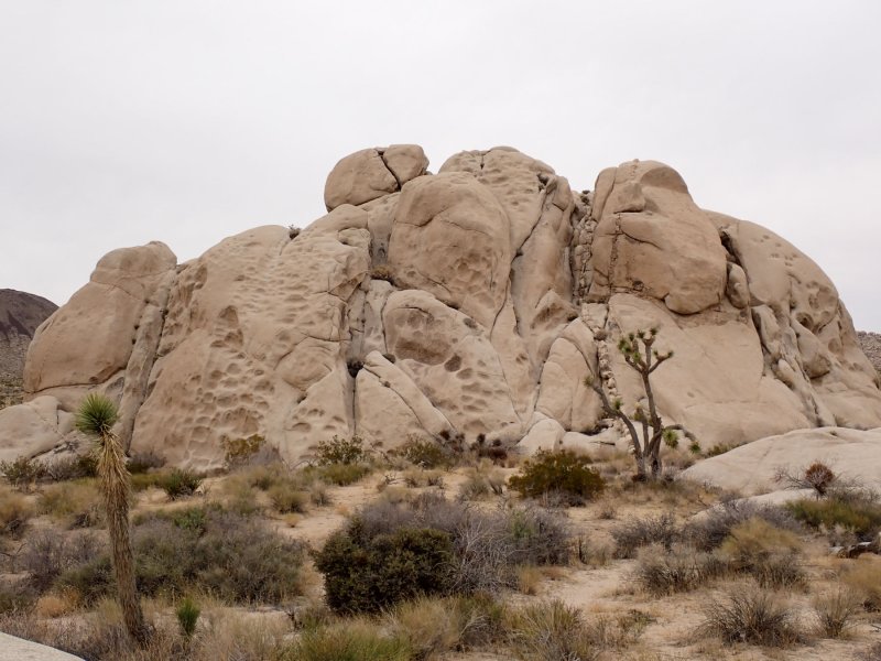
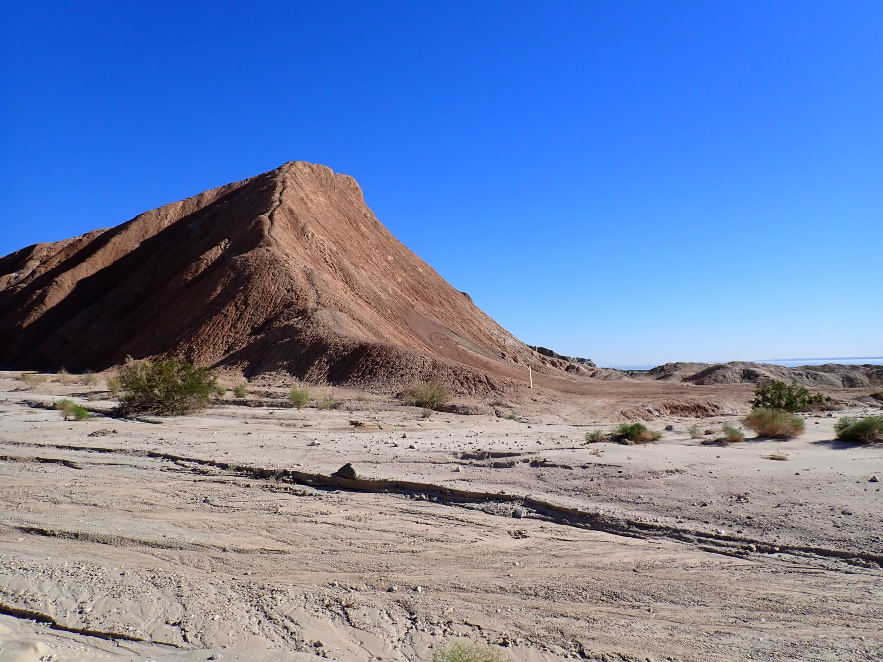
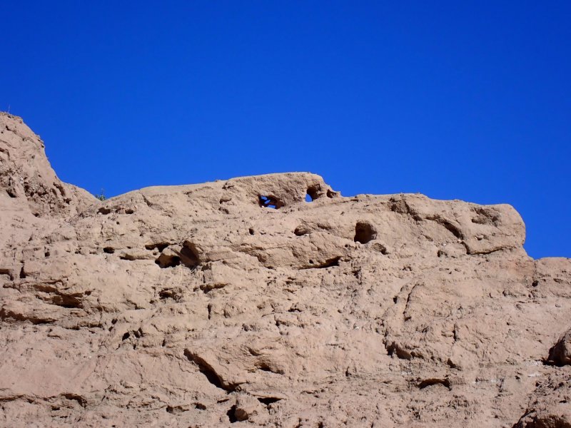
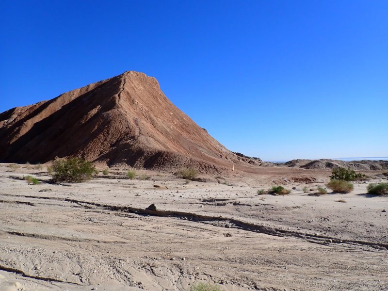
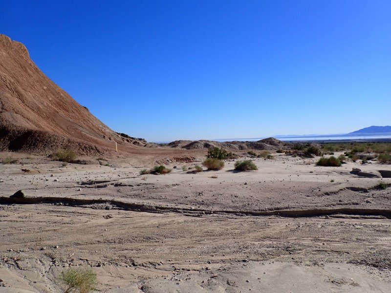
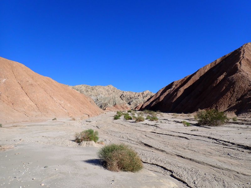
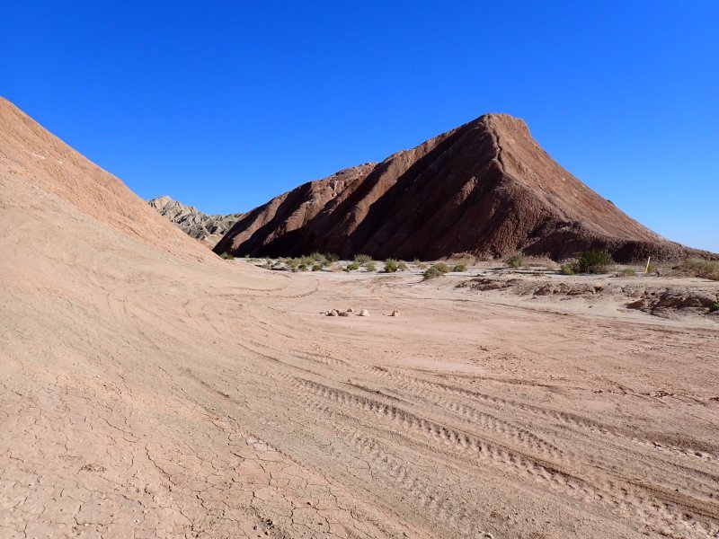
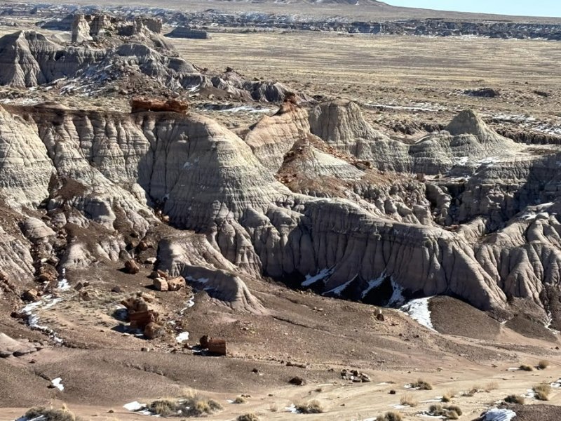
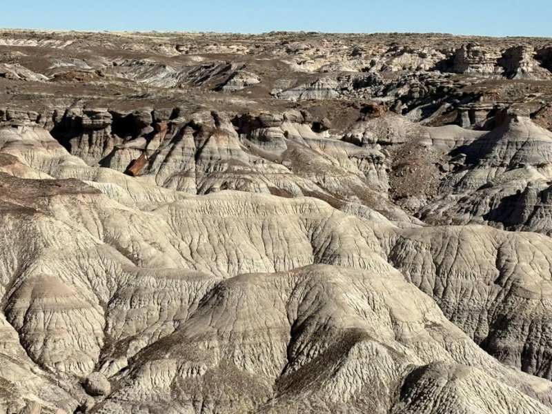
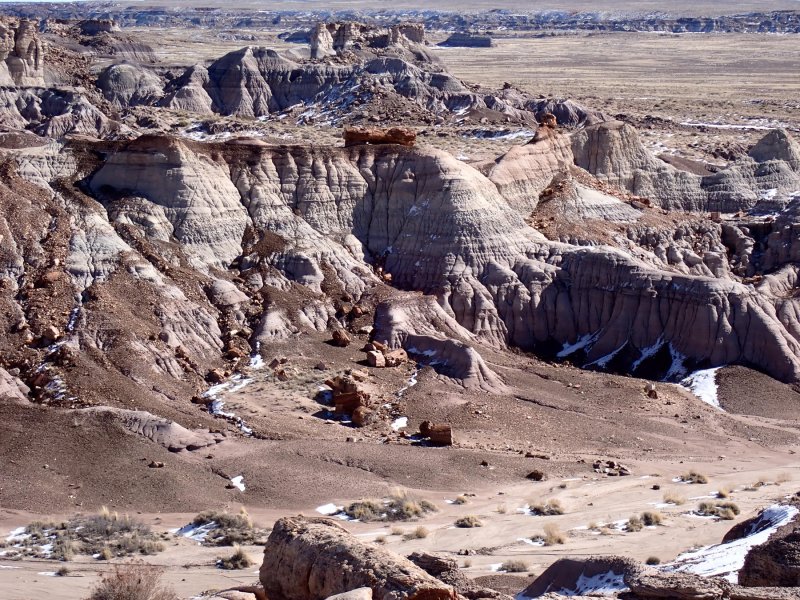
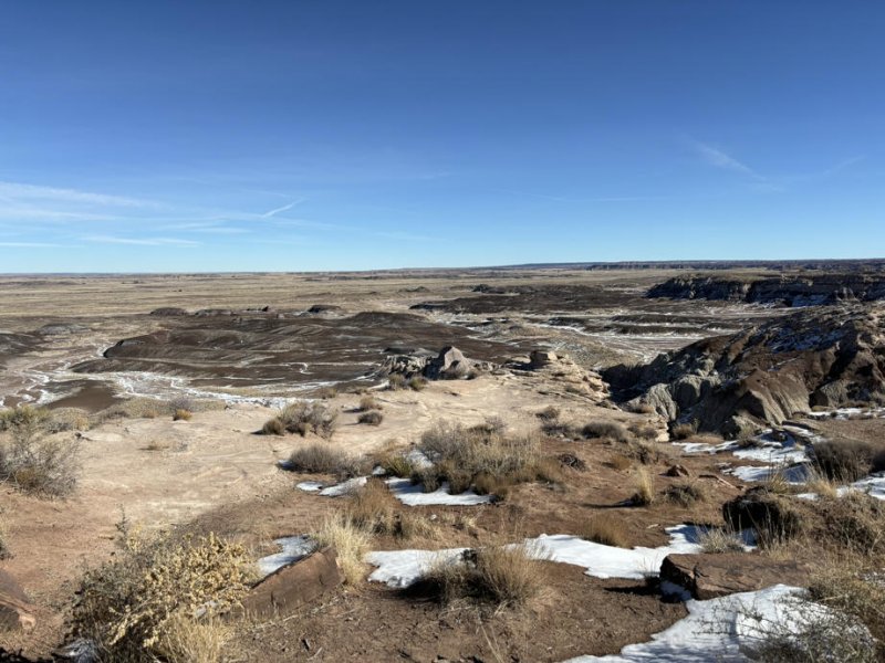
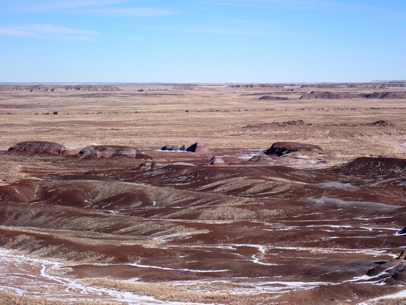
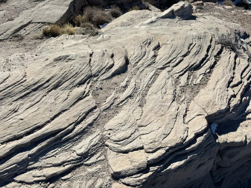
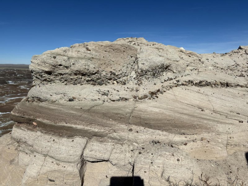
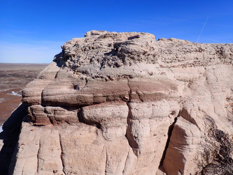
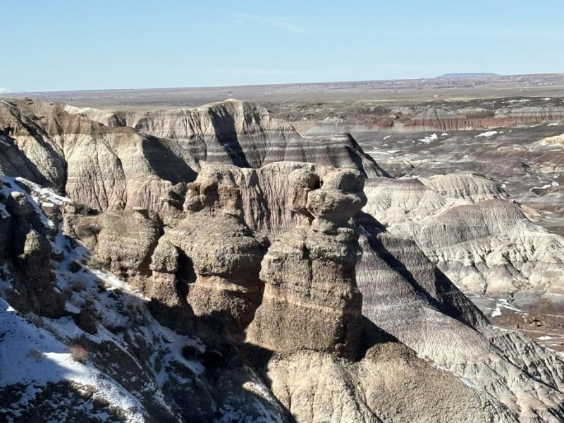
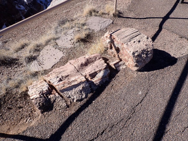
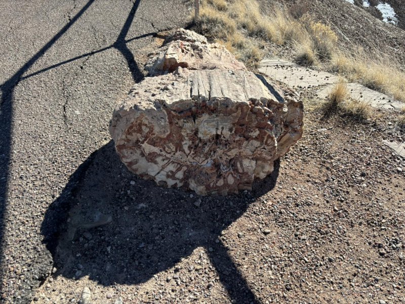
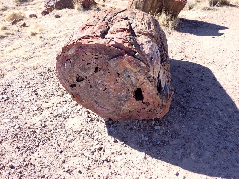
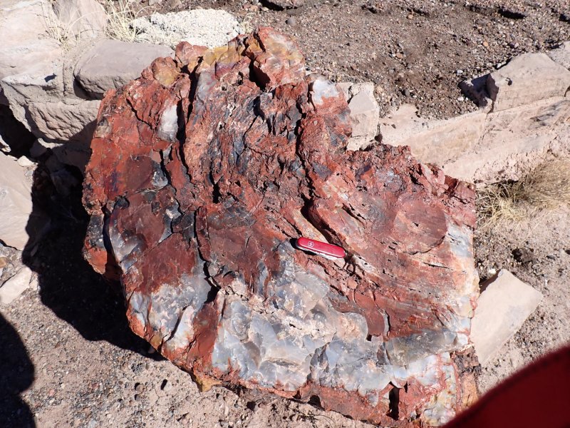
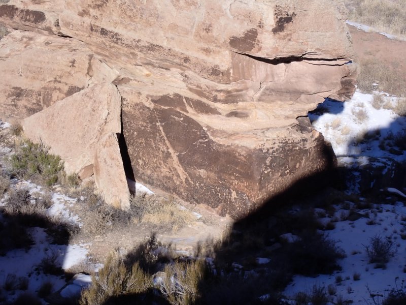
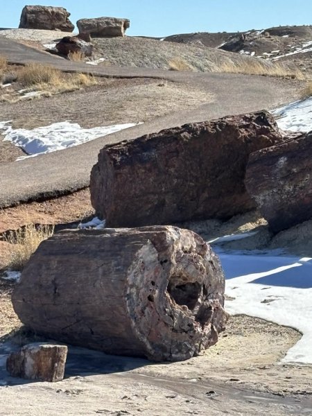
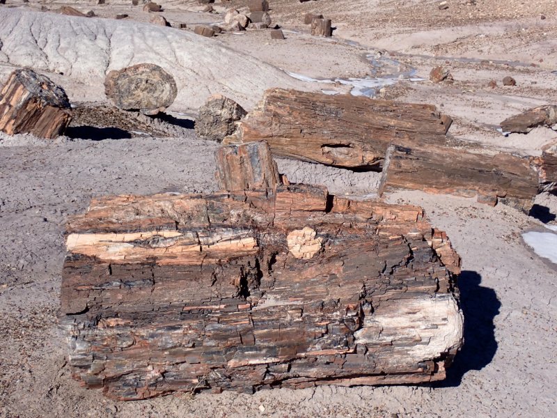
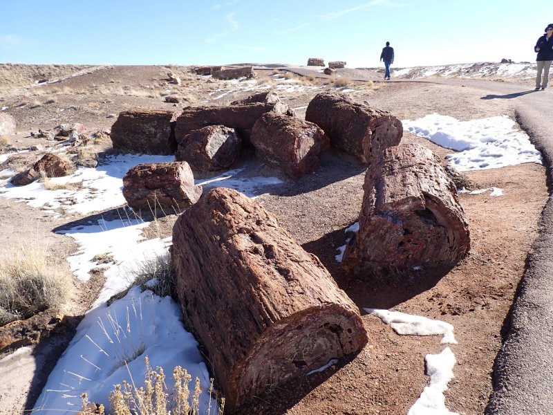
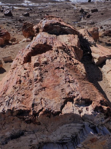
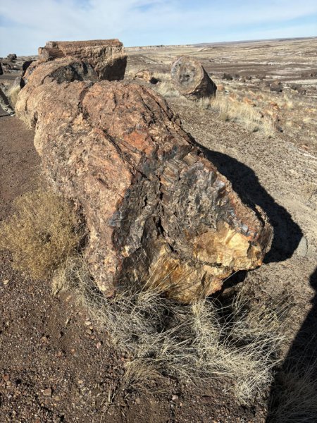
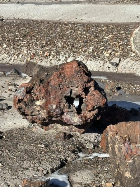
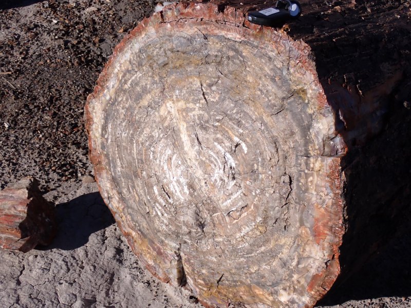
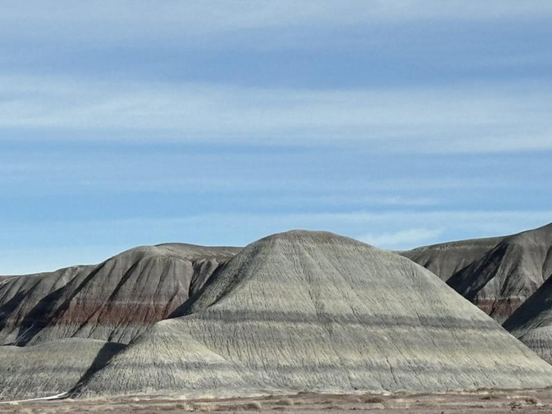
Geologically, the Colorado Plateau is not an area of large-scale cataclysmic geologic processes acting over short periods of time. Rather the geology and resulting landforms we see are the result of continental deposition of primarily sedimentary formation and somewhat hidden tectonics that have acted over large areas over long periods of time and eventually caused uplift of formations of almost 3 km. Geologic processes have been relatively low key for over the last 600 million years. The seas came in and the seas went out. The geology of the Plateau area is comprised predominately of more or less flattish or gently dipping sedimentary rock units deposited in deserts, lakes, oceans depending on the geography du jour. Granted, there are areas of metamorphic formations (Vishnu Schist (1,700 million years ago) at the bottom of Grand Canyon) and igneous rocks (Henry Mountains, LaSal Mountains, Ute Mountains, extrusive plateau-topping volcanics and others all relatively young) and faults (Hurricane, Sevier, Toroweap and others) that all played a part in what we see today.
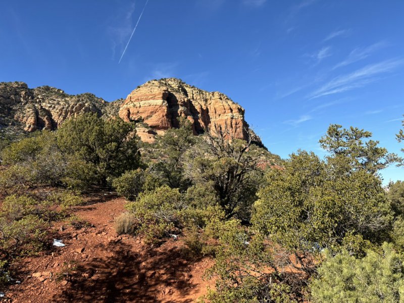
Uplift of the area creating what we see today was due to tectonic stresses that began almost 60 million years ago when the area began a slow upward migration that eventually amounted to over 2-3 km of uplift. With uplift comes inevitable erosion and the landscapes and sweeping vistas that we see today began and that continue to form. The picture below is a 3-dimensional cartoon of the geologic cross section of the plateau representing a side view of the geometry of the geologic structures and a simplified surface view of the general topography. I think the most impressive thing about this drawing is that it shows graphically that at Zion, Arches, Bryce, Capital Reef and Canyonlands National Parks as well as over most of the rest of the Colorado Plateau, the breath-taking vistas, scenes and geologic formations at the Grand Canyon are all still buried below those parks and the cliffs, often referred to as the Grand Staircase. So, if humans can survive, in another 60 million years the entire plateau area may be incised canyons, magnificent vistas and tourist destinations.

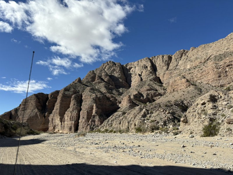
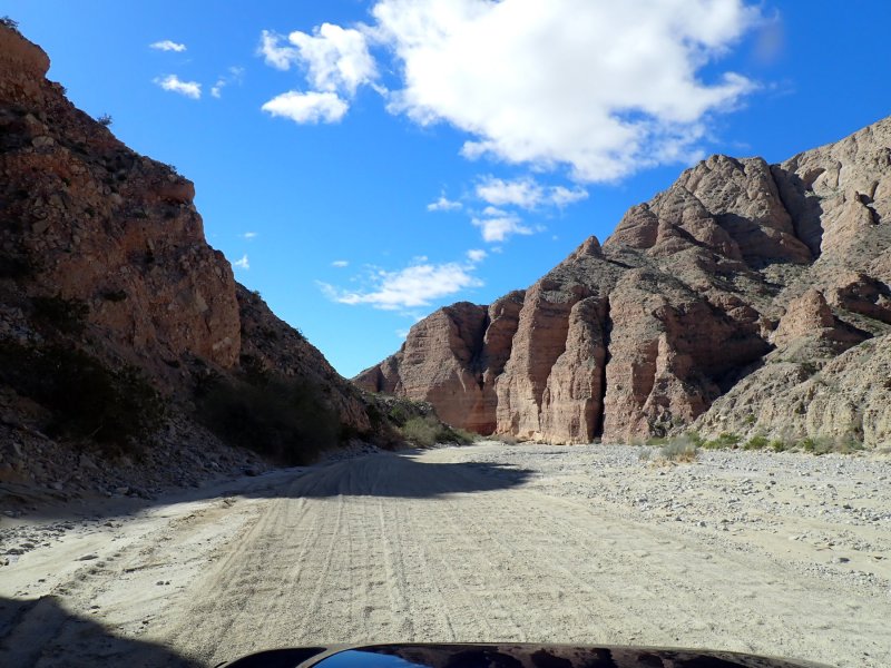
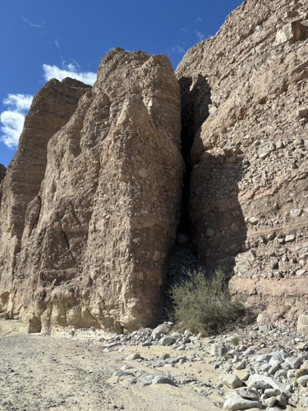
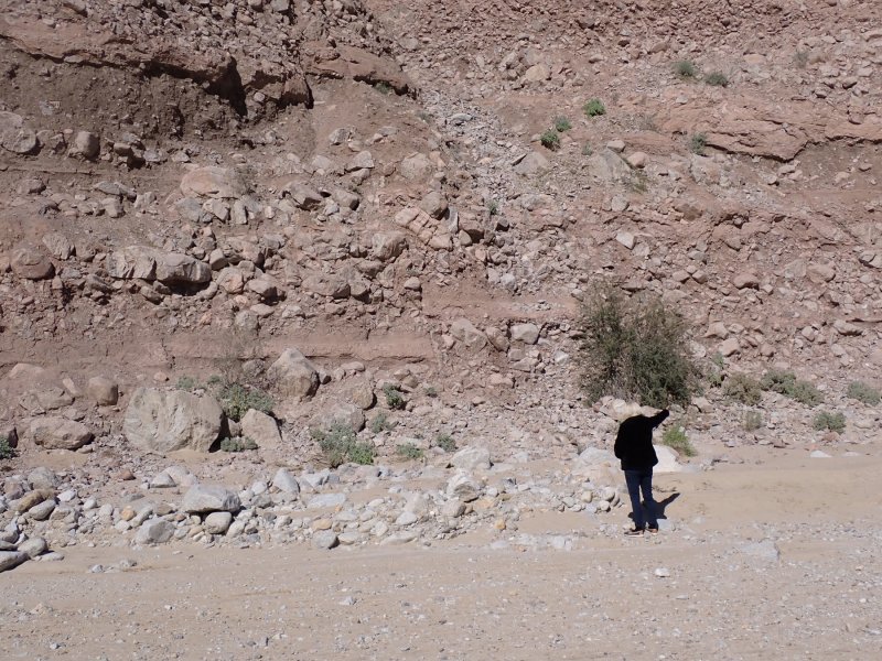
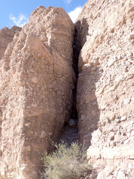
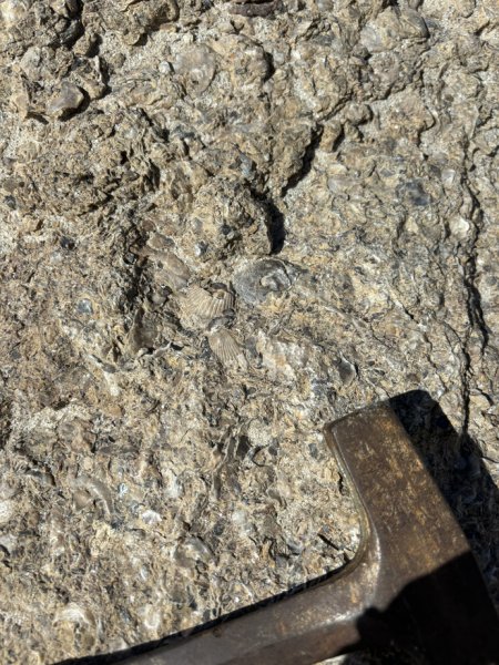
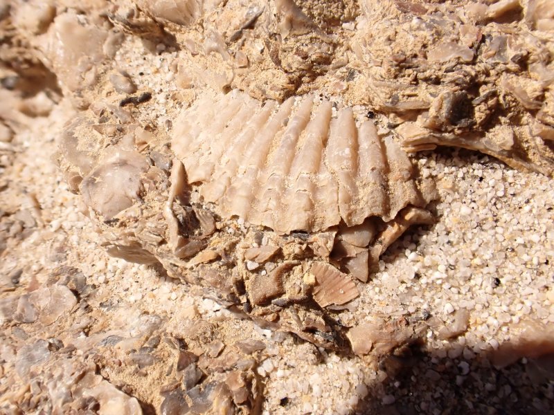
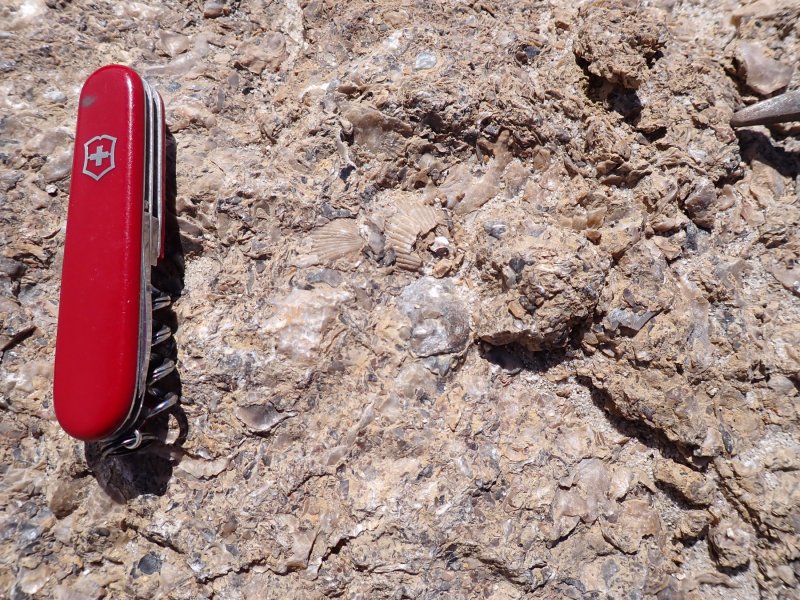
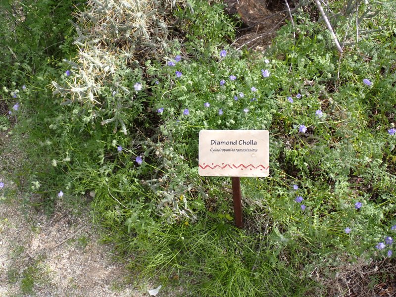
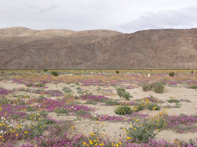
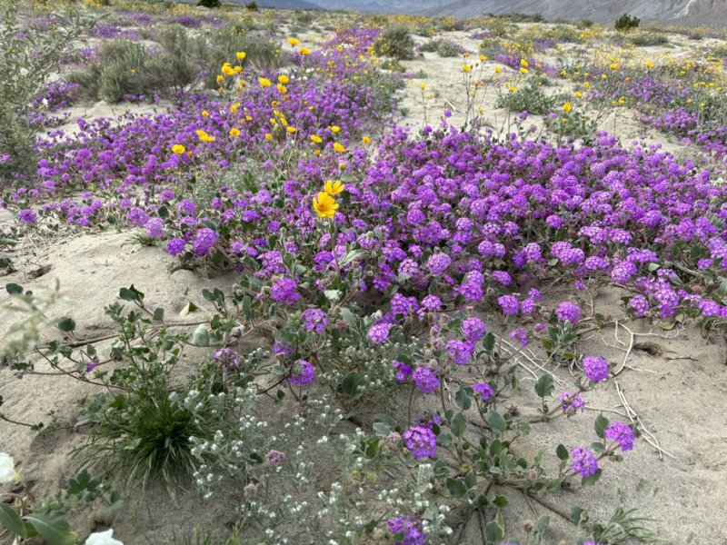
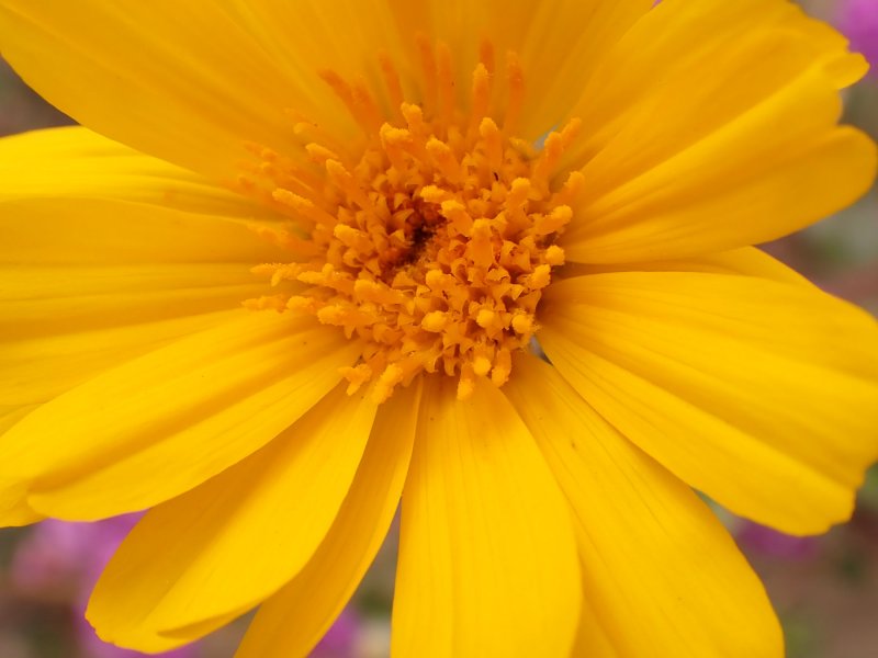
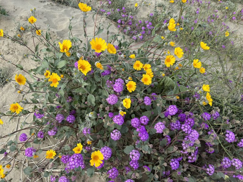
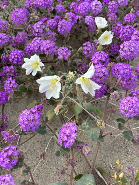
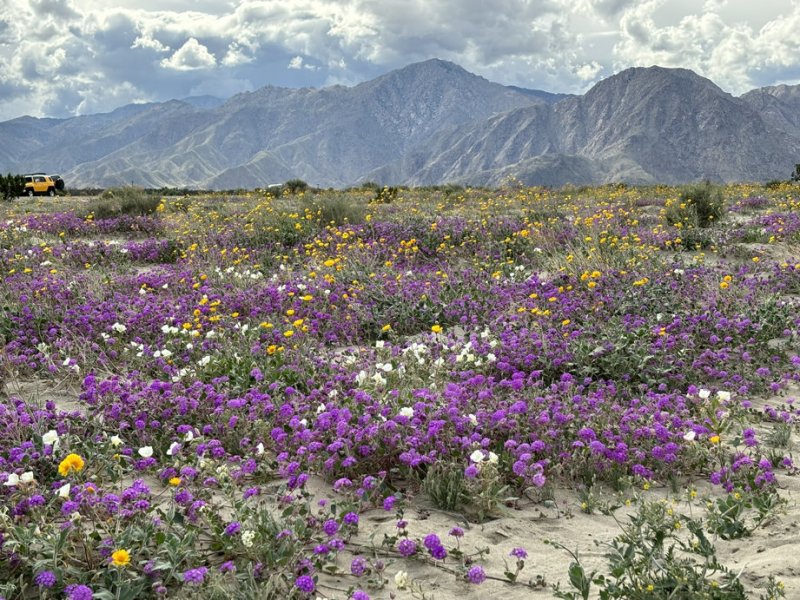
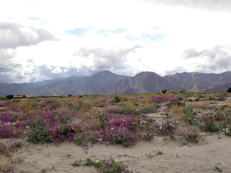
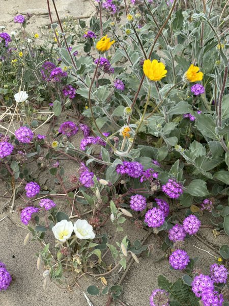
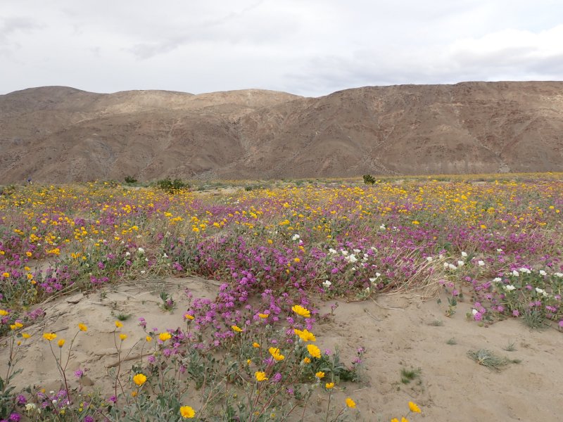
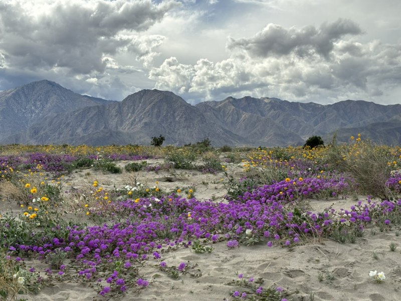
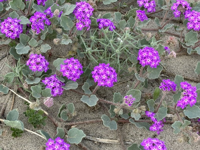
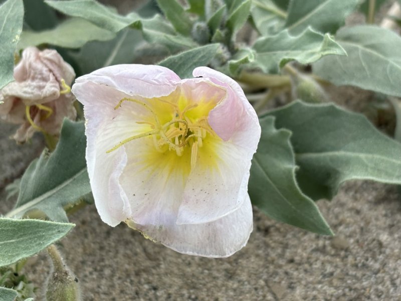
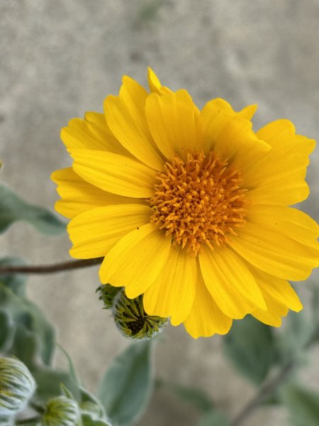
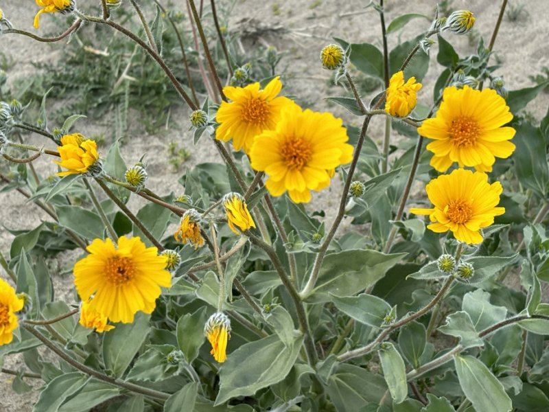
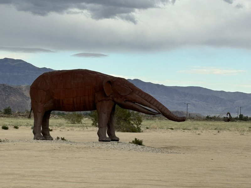
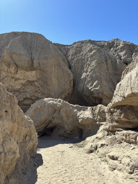
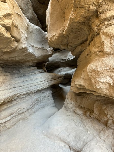
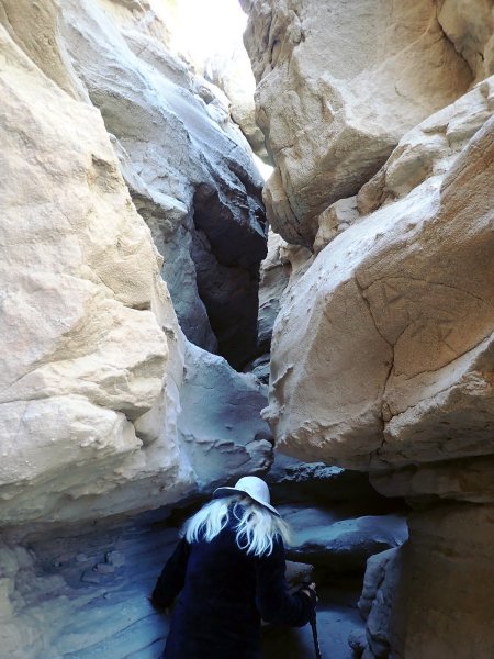
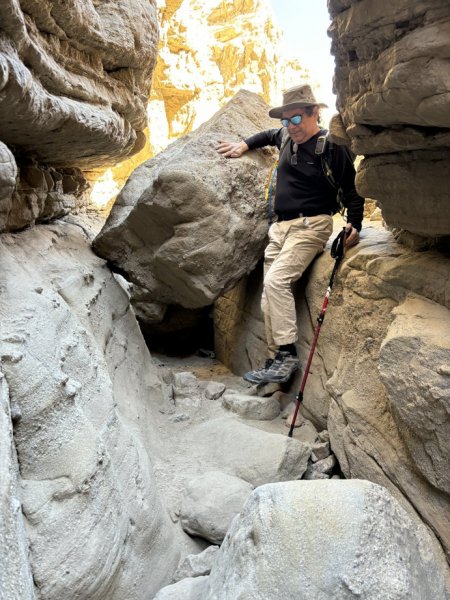
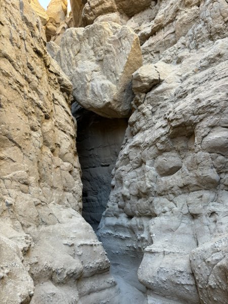
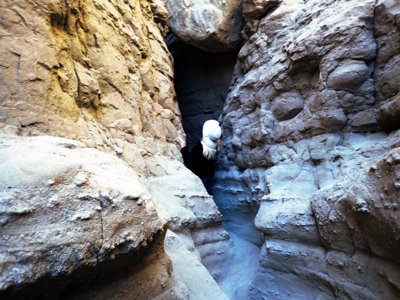
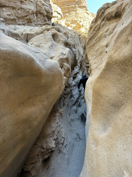
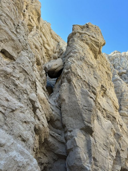
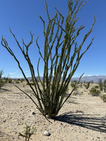
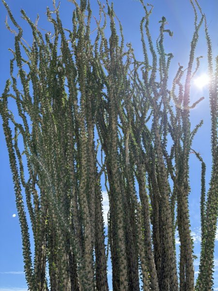
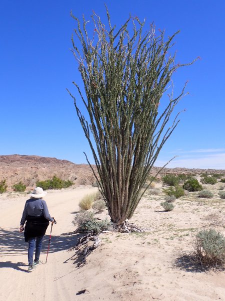
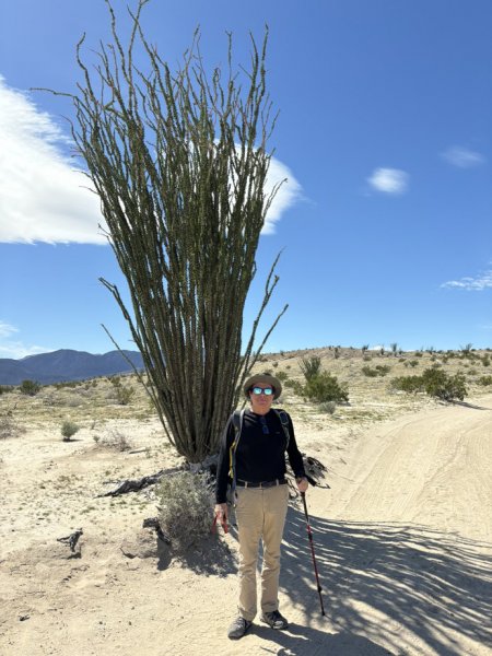
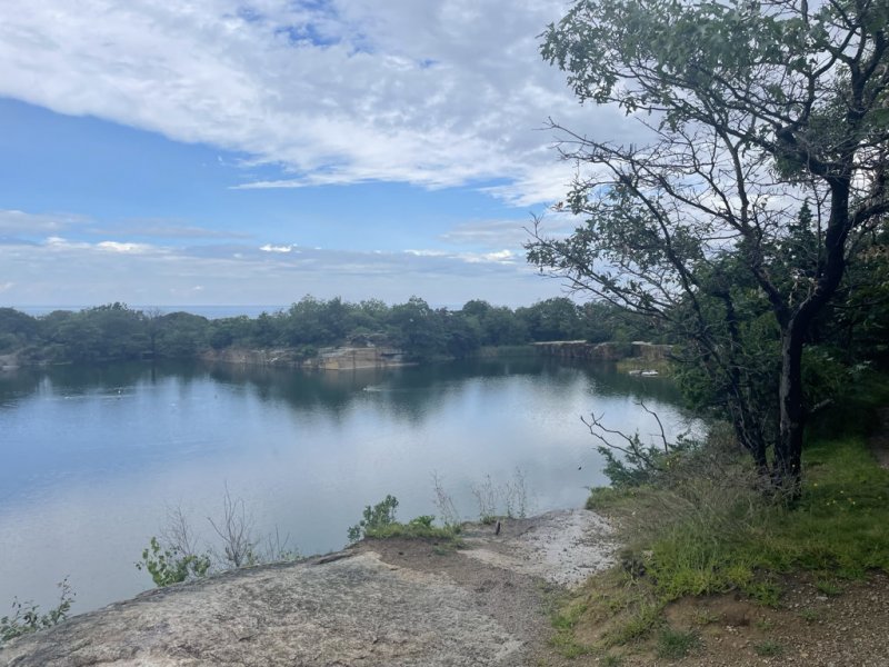
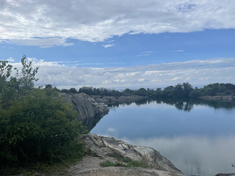
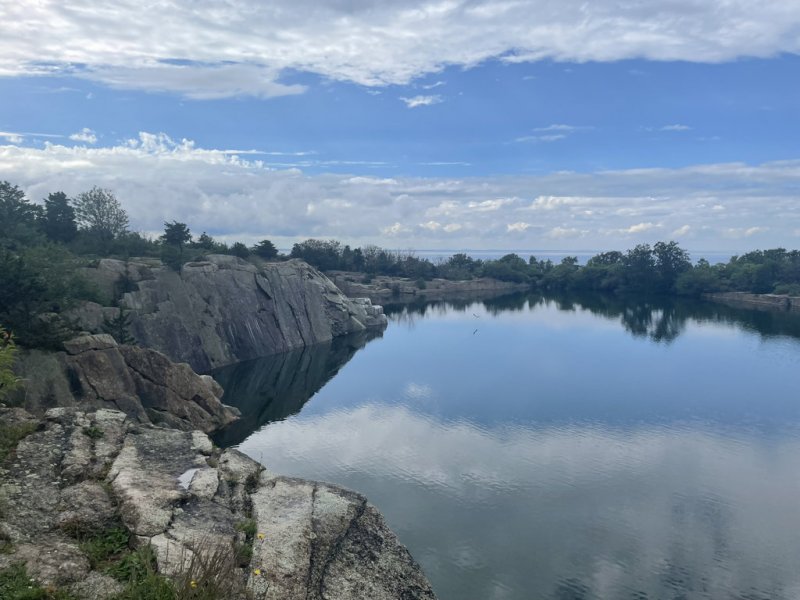
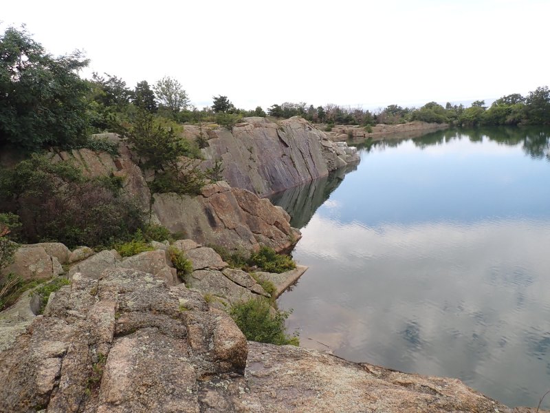
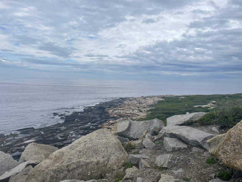
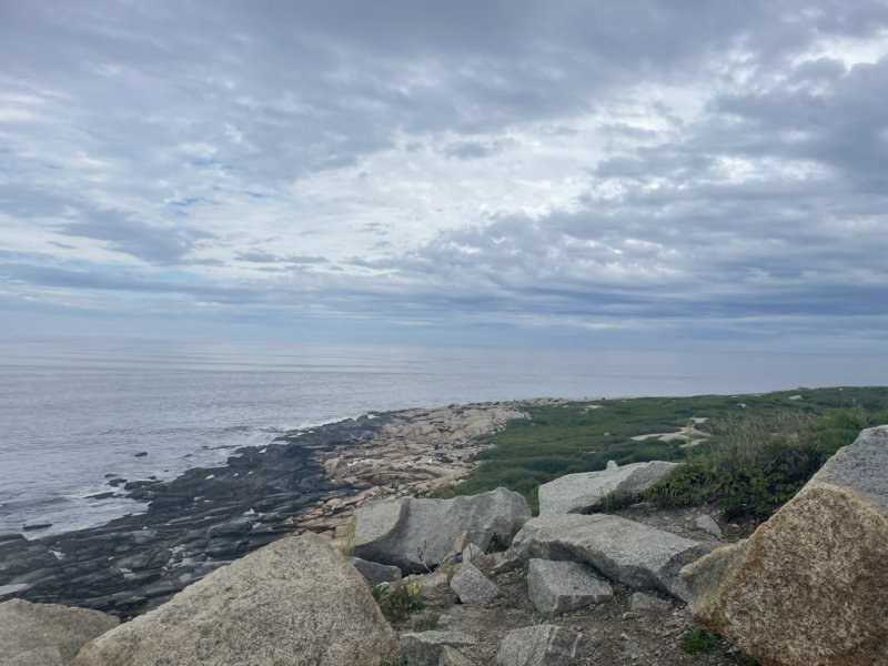
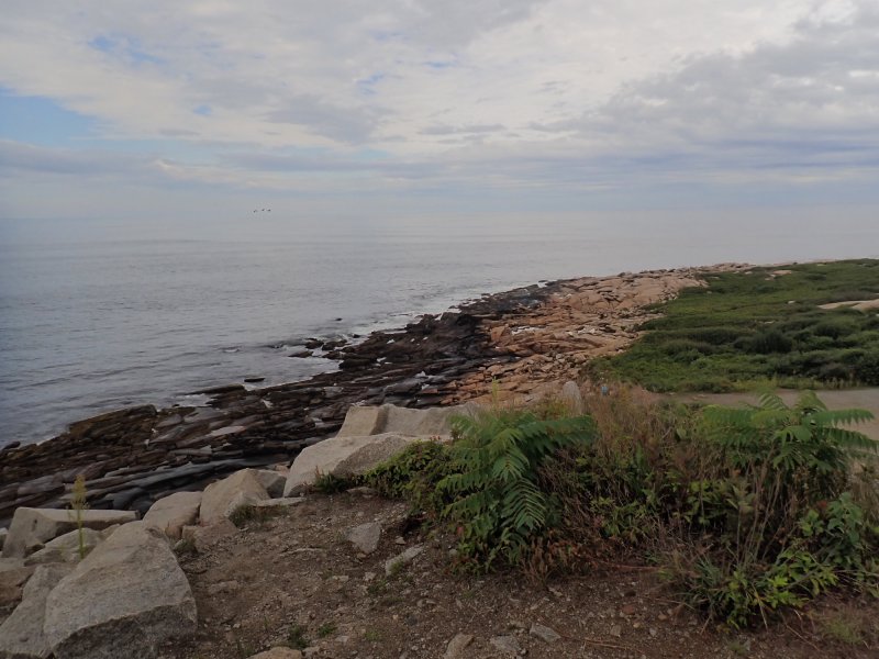
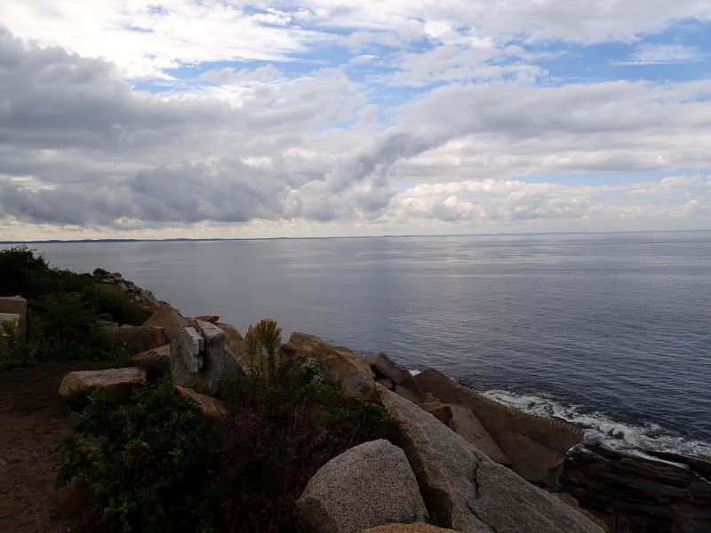
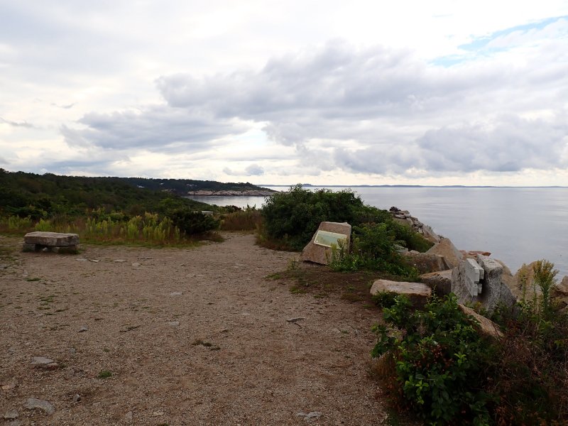
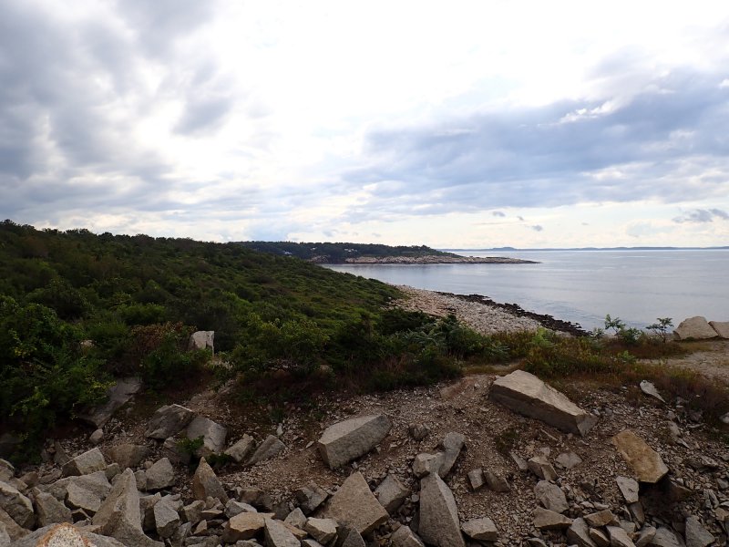
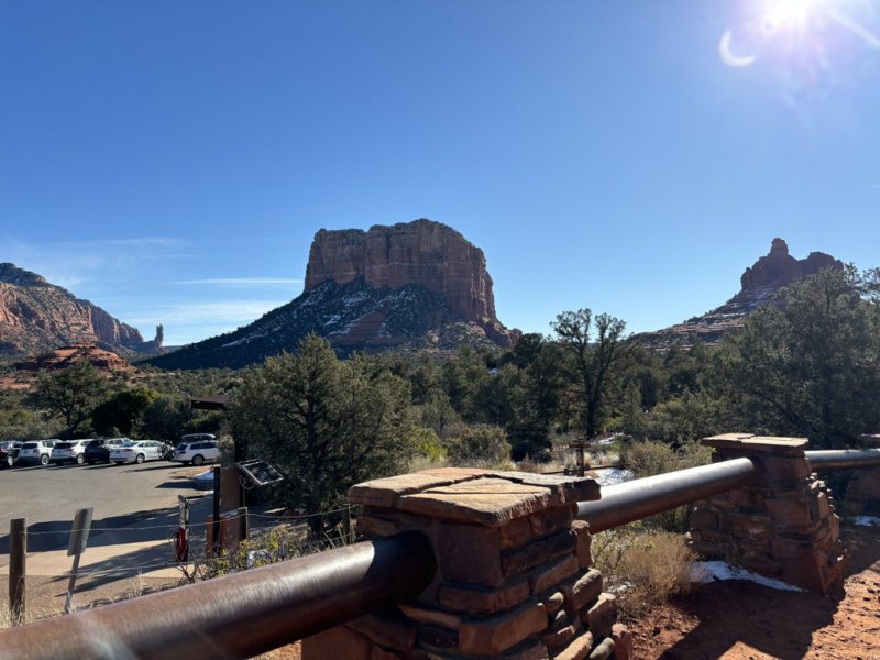
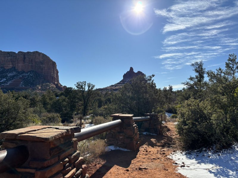
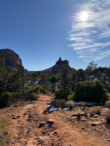
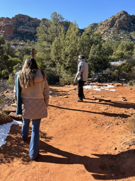
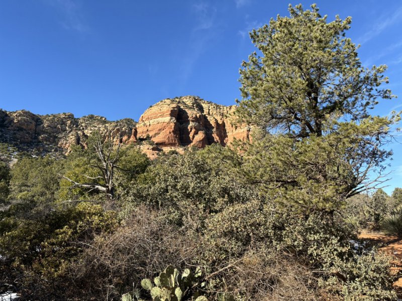
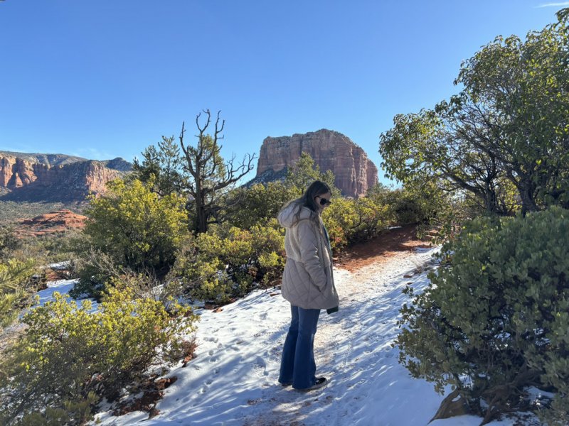
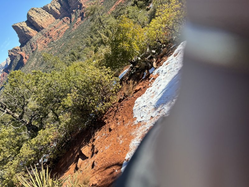
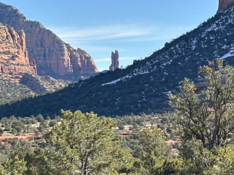
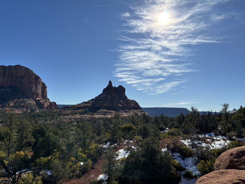
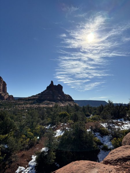
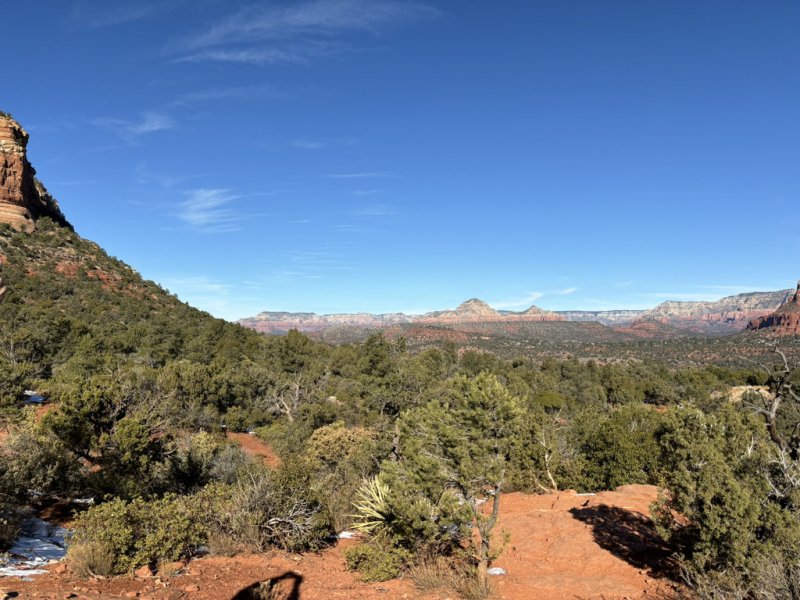
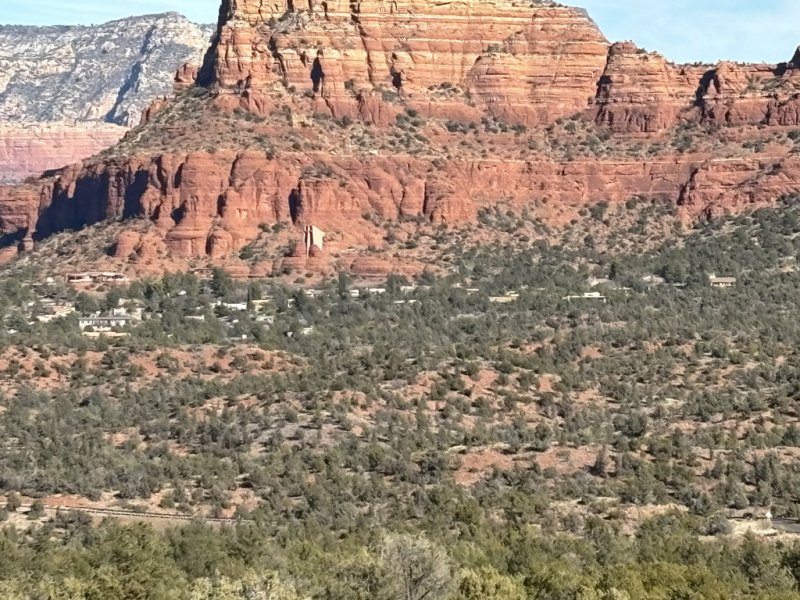
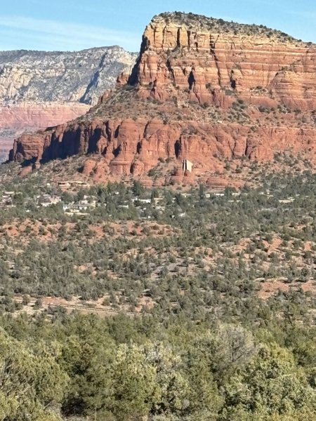
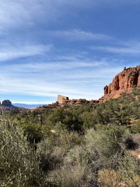
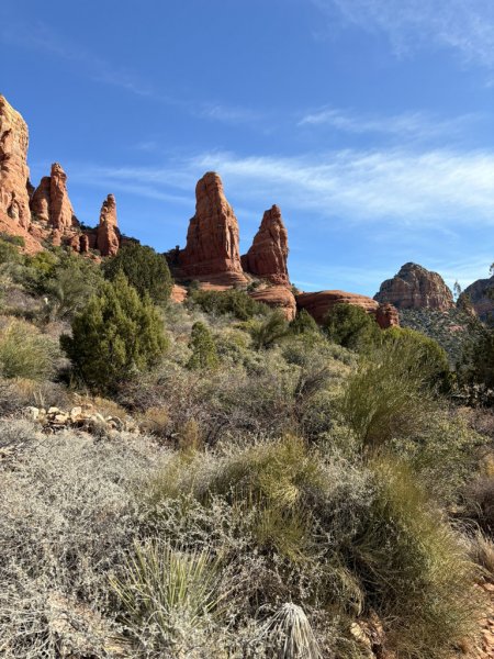
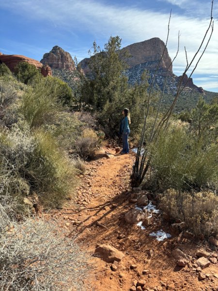
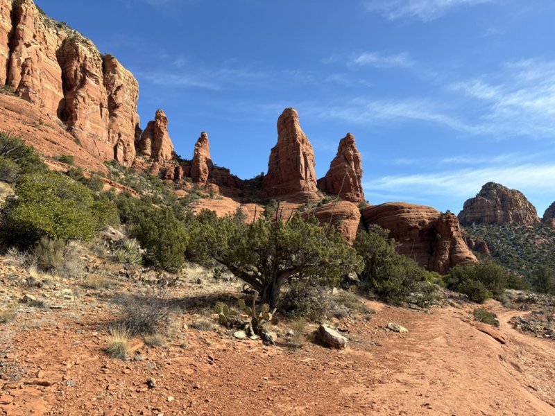
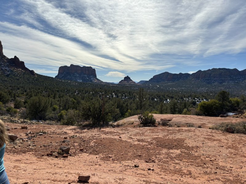
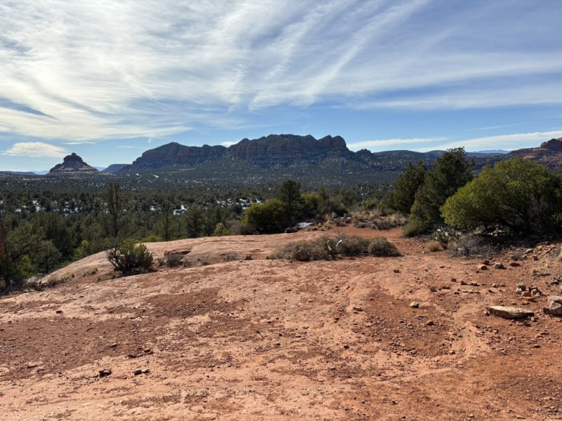
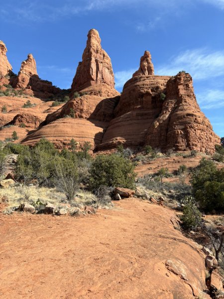
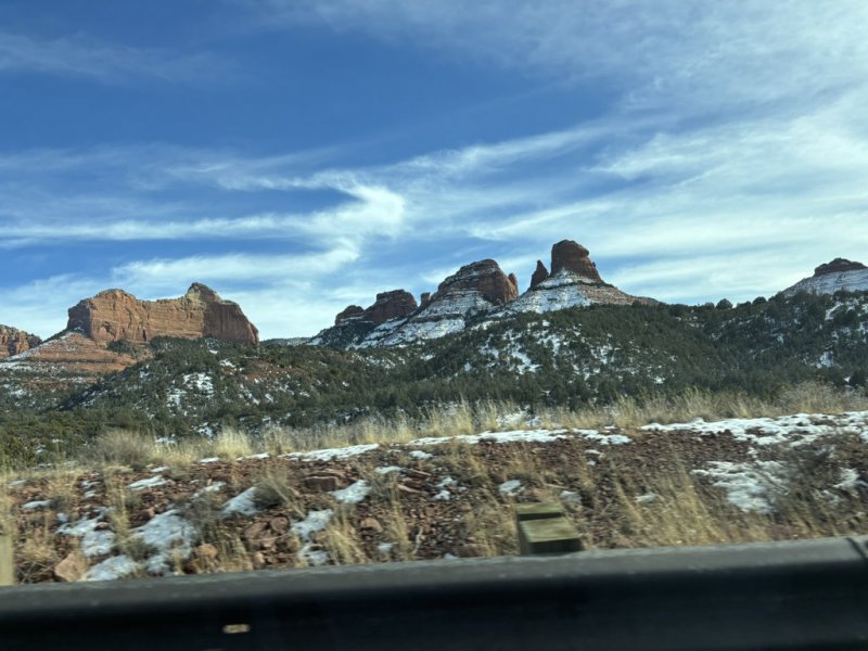
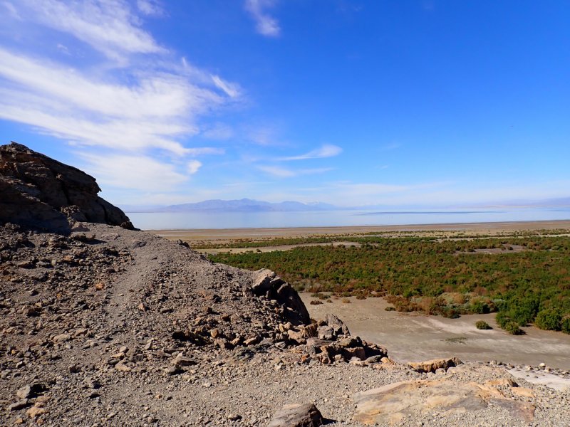
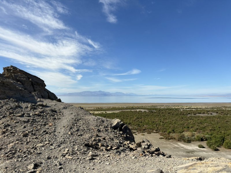
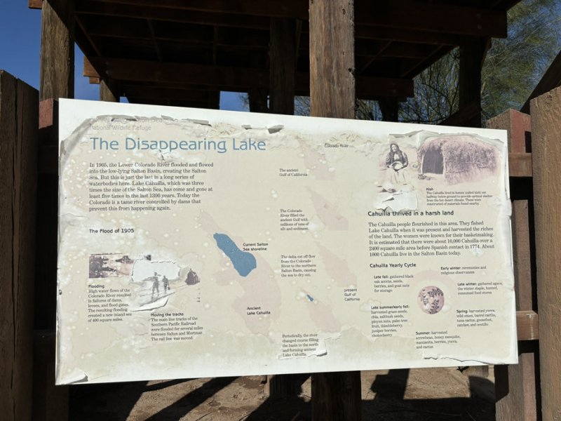
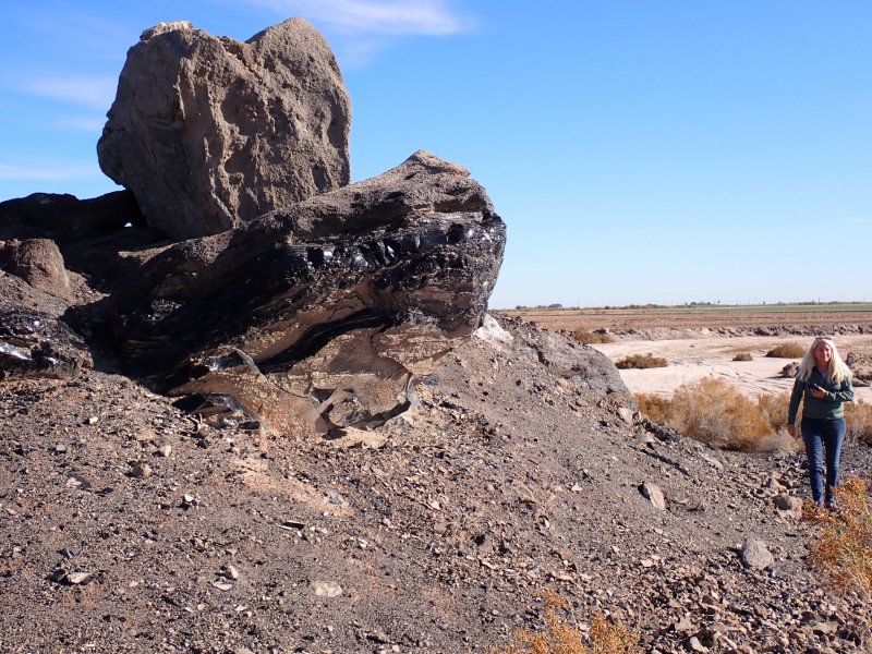
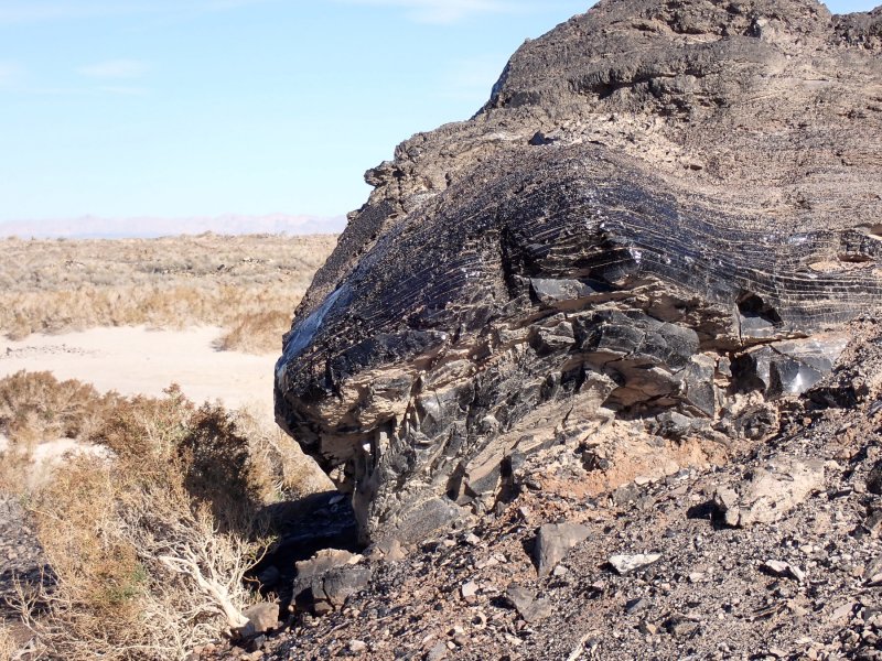
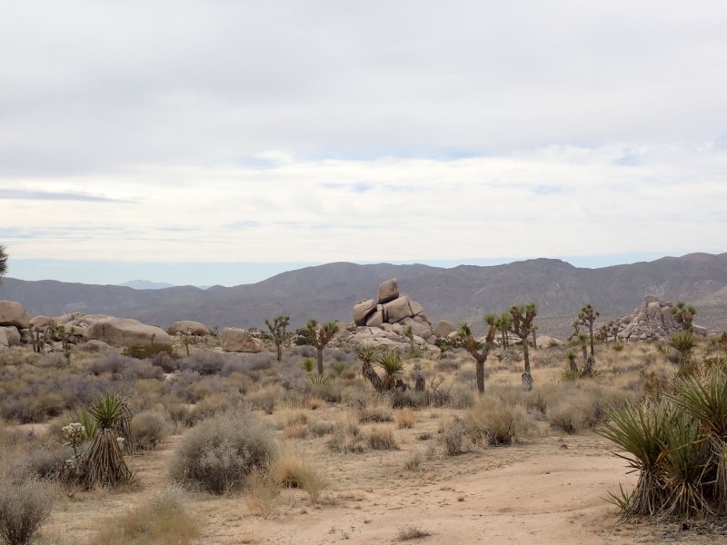
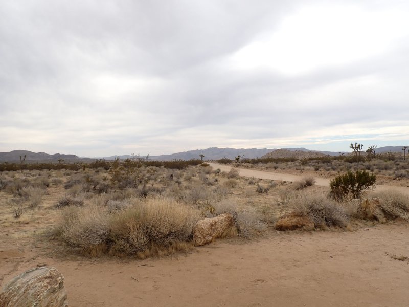
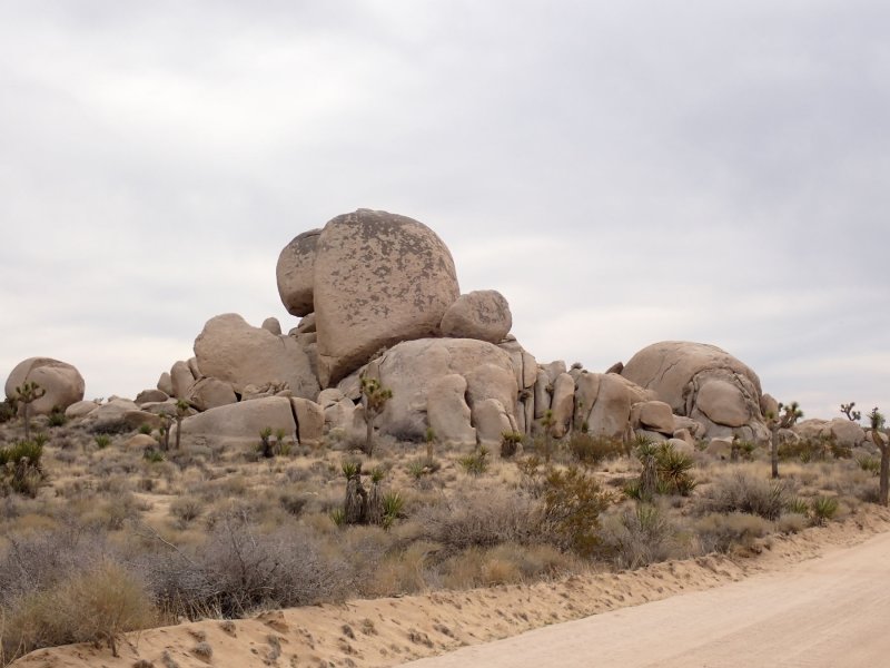
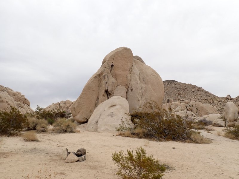
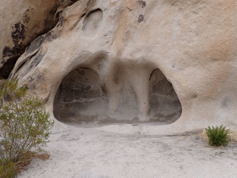
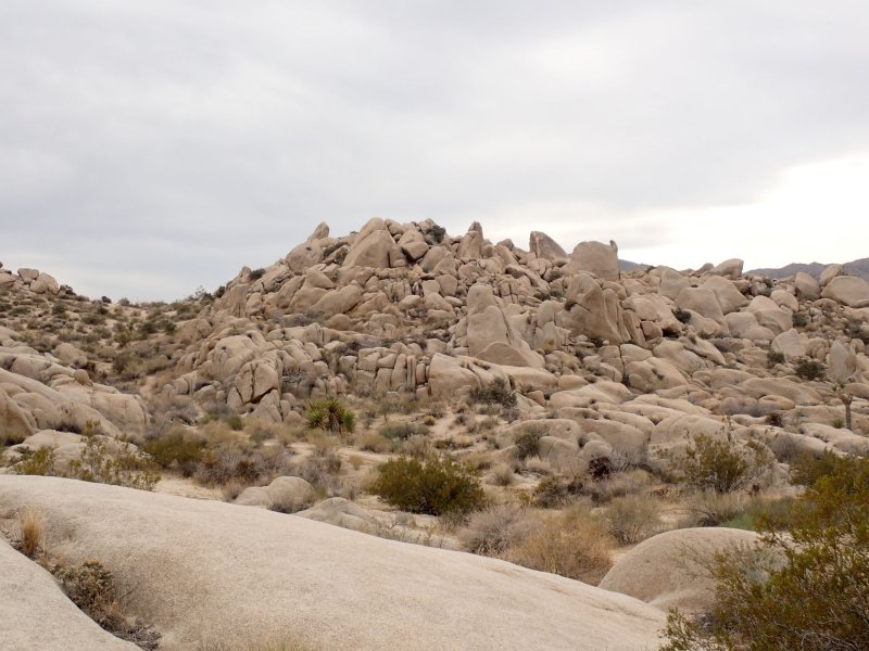
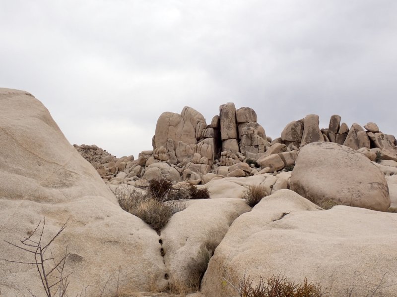
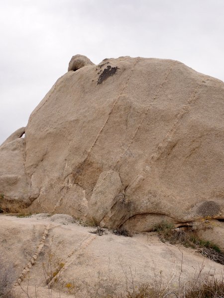
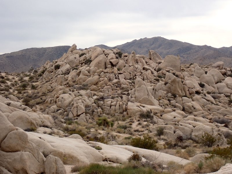
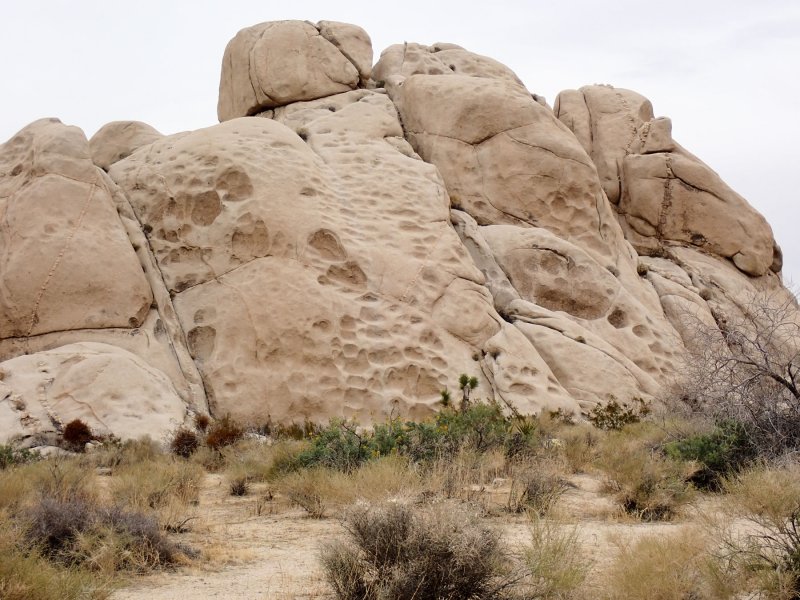
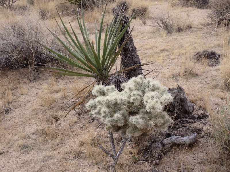
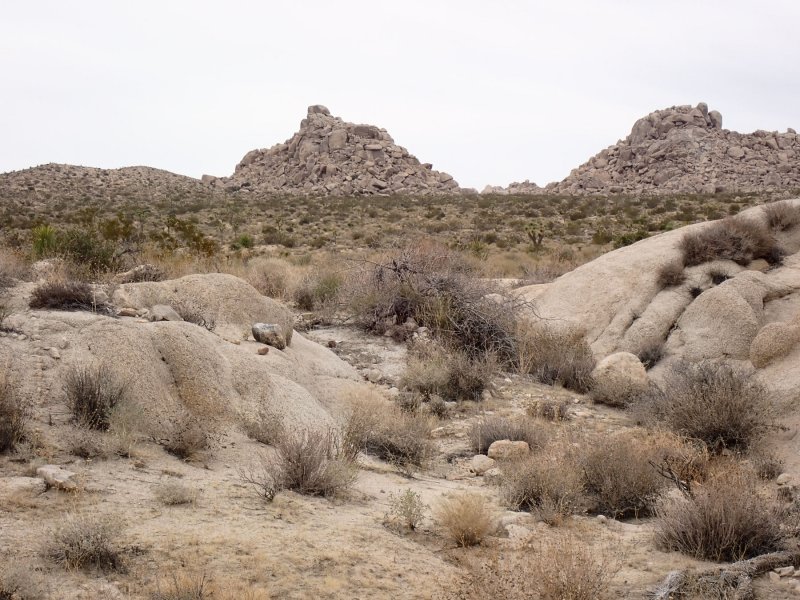
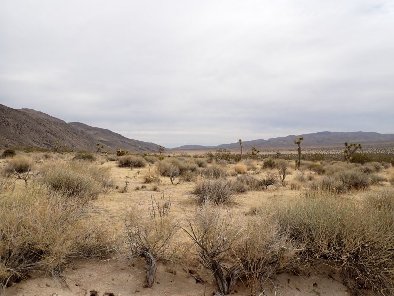
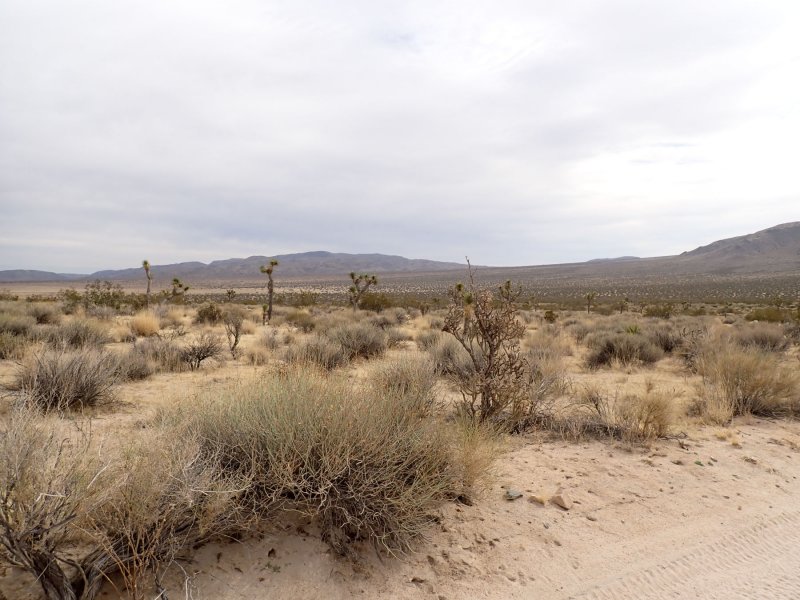
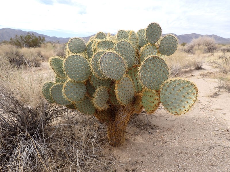
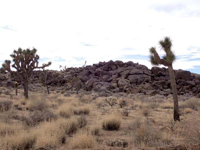
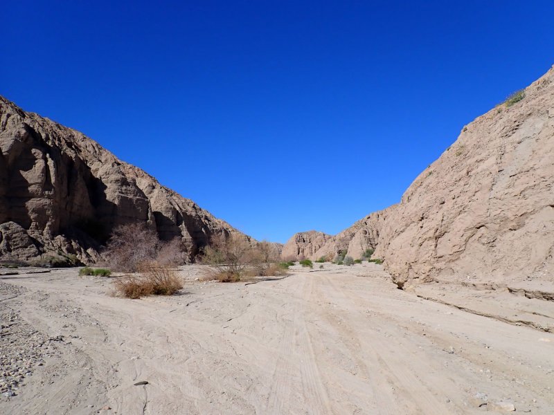
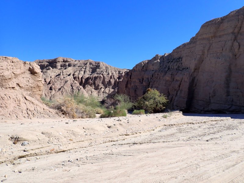
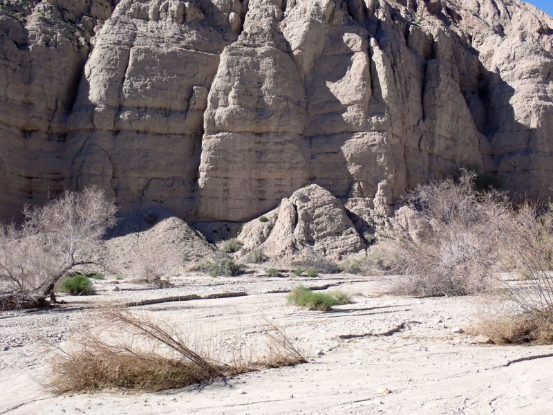
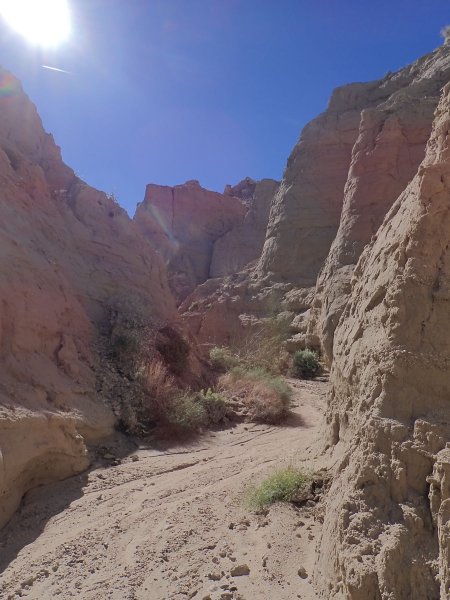
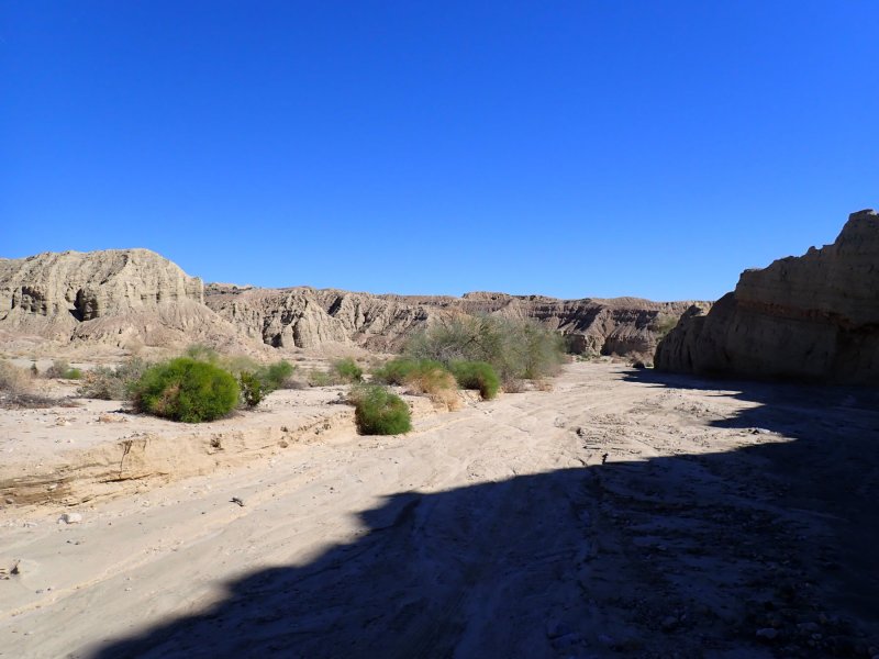
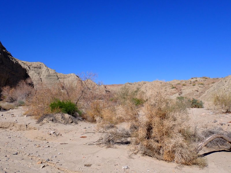
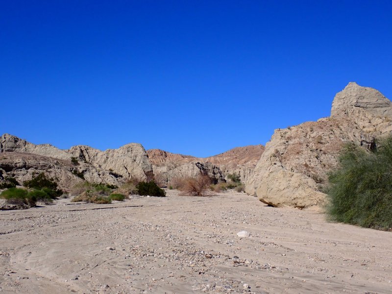
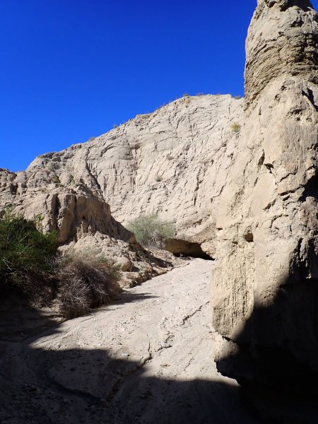
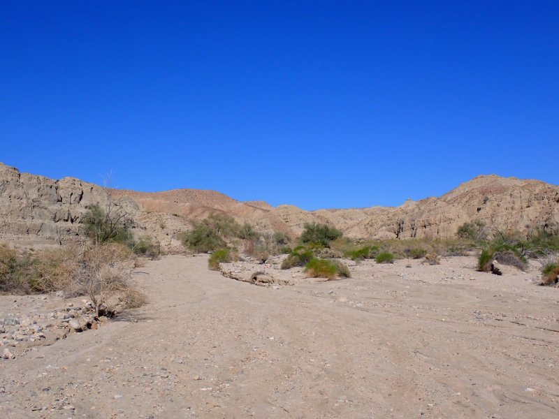
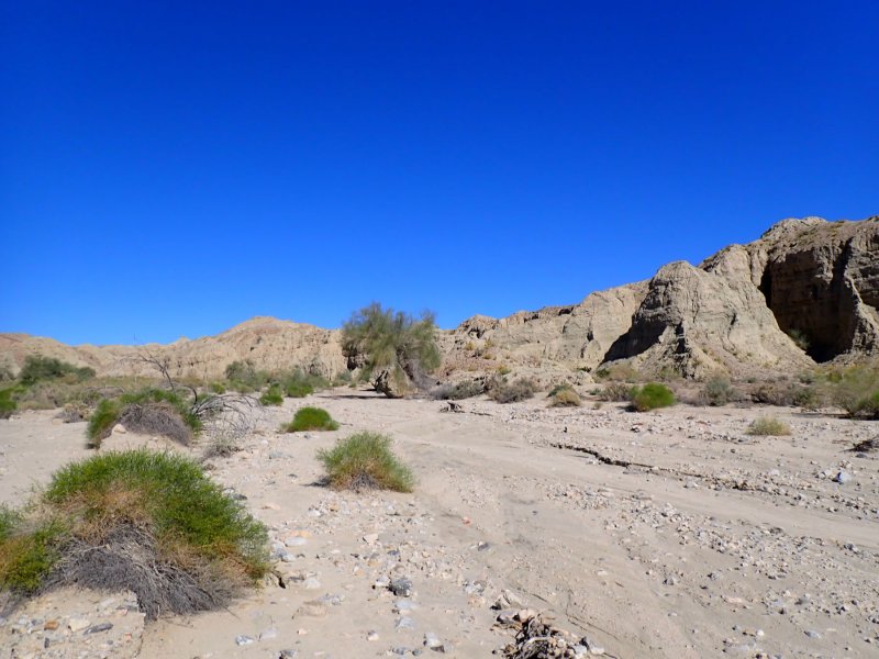
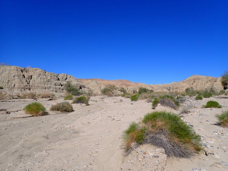
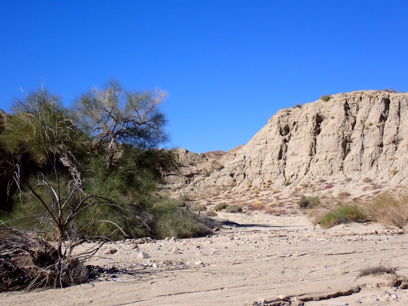
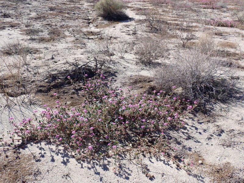
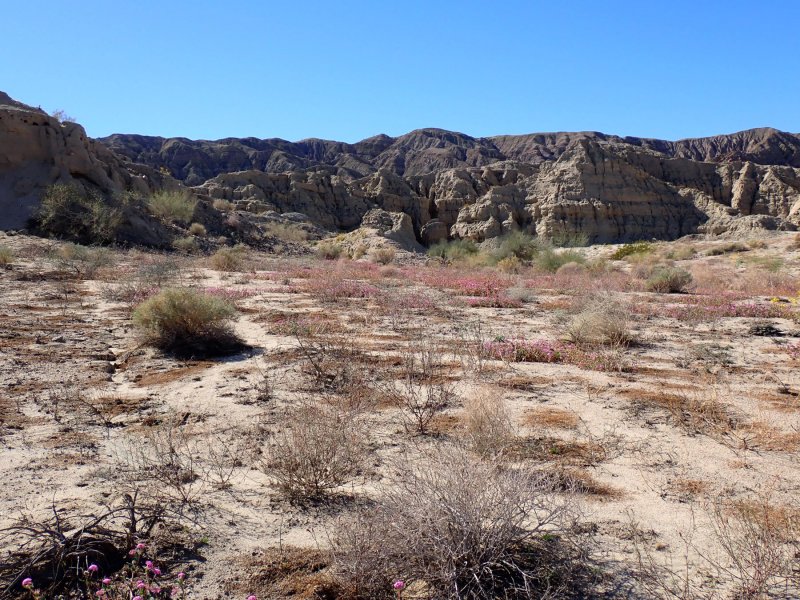
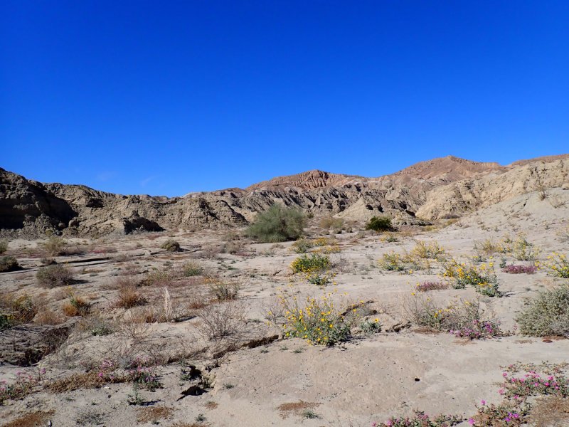
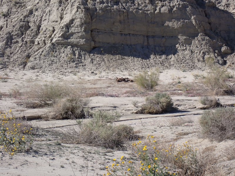
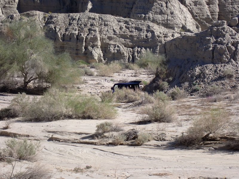
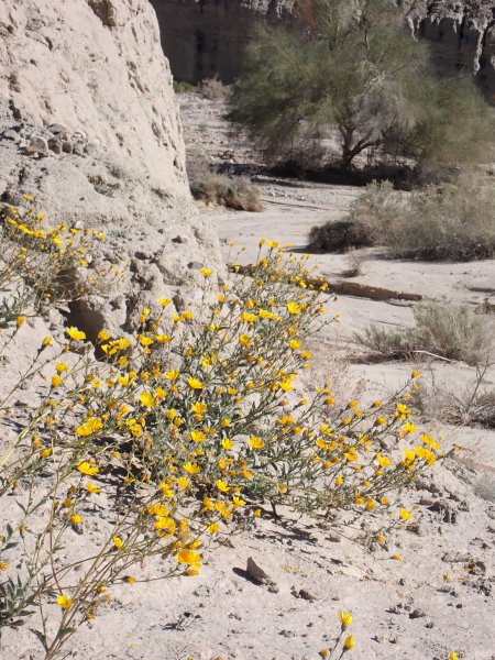
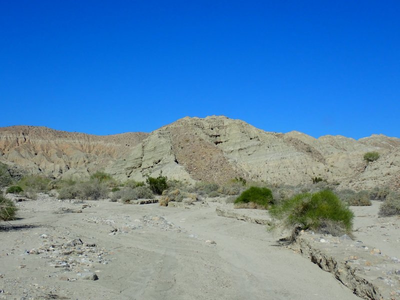
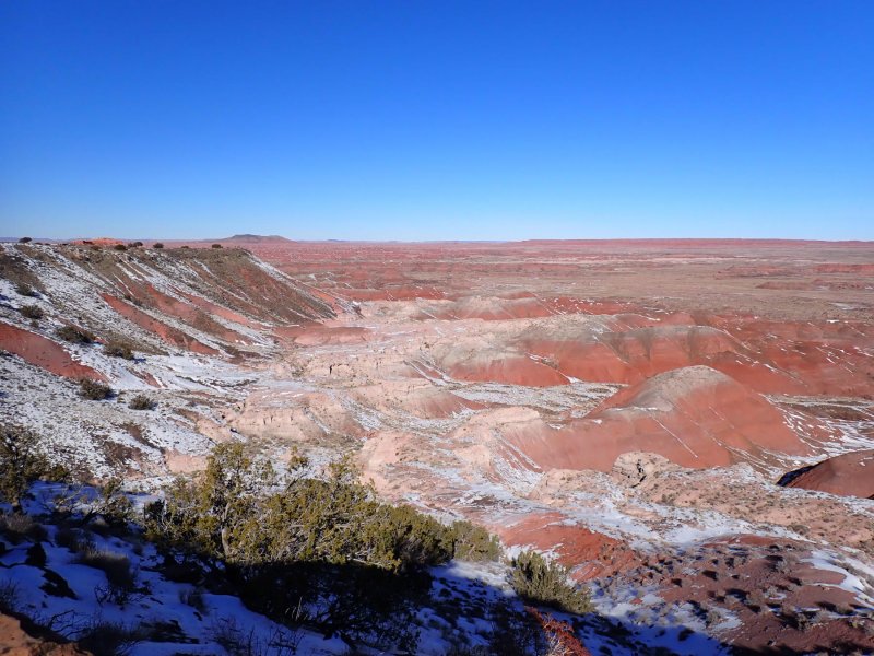
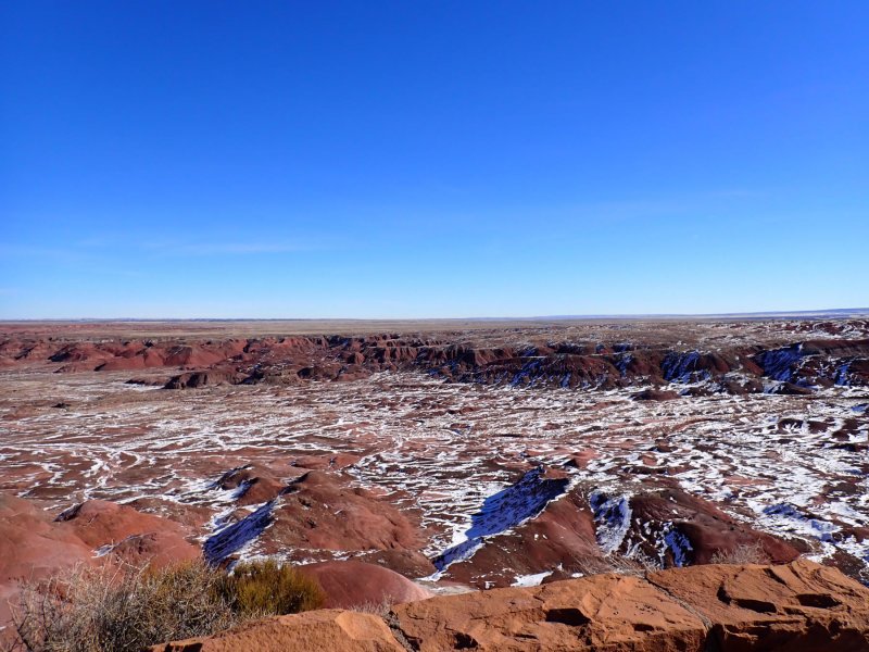
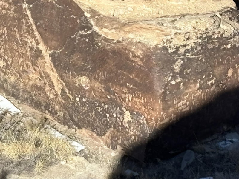
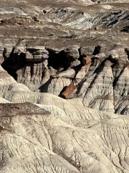
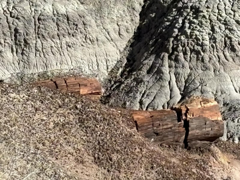
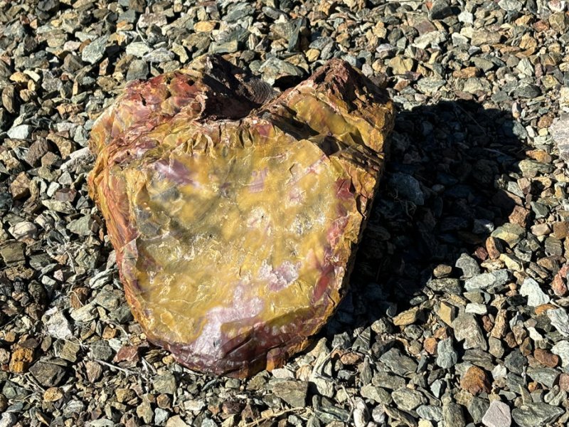
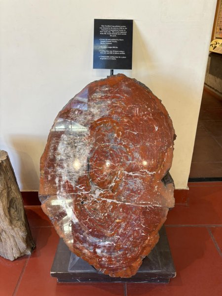
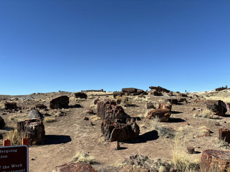
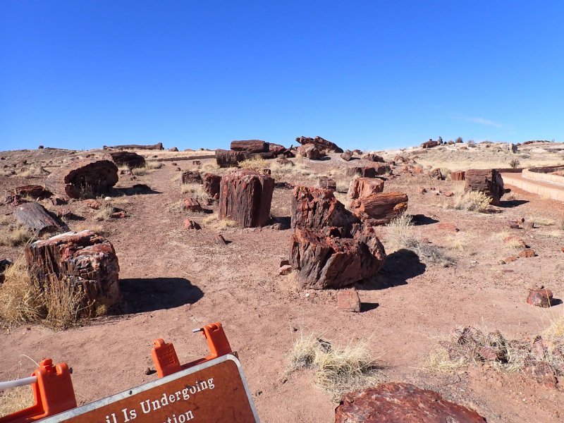
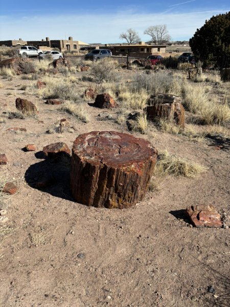
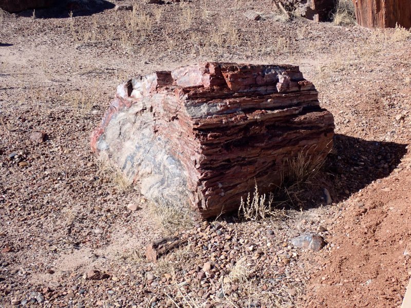
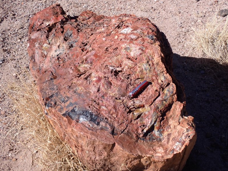
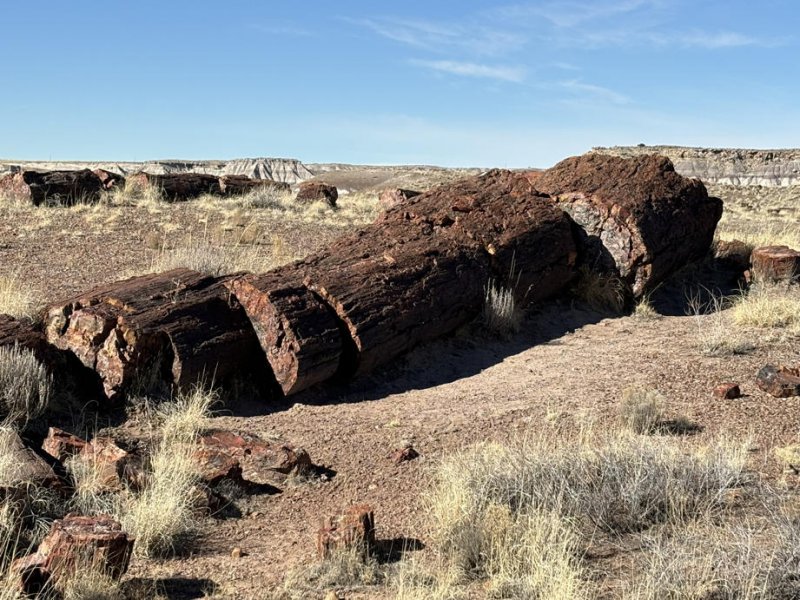
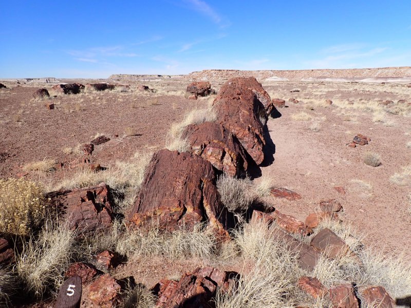
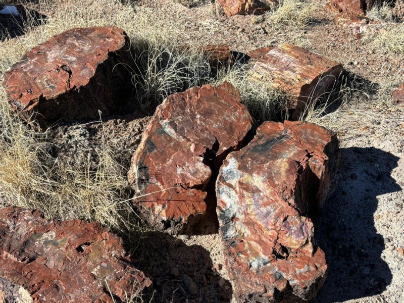
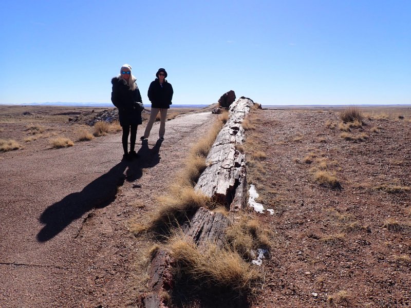
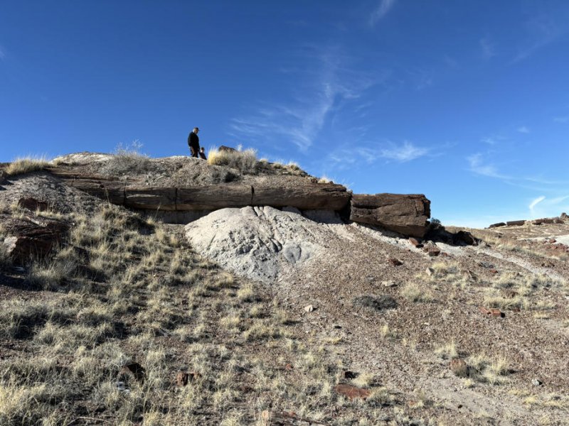
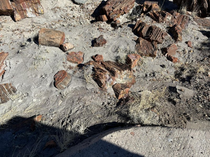
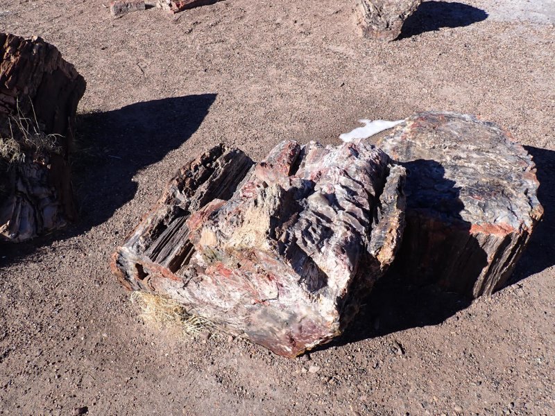
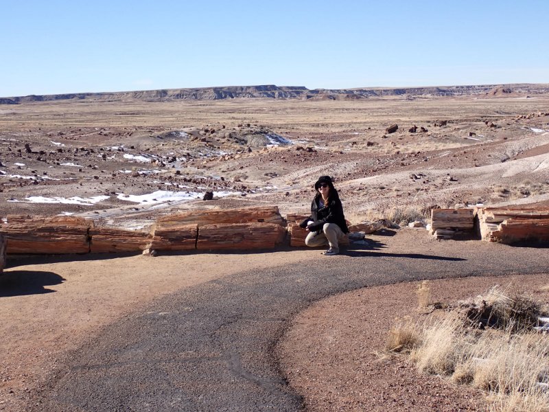
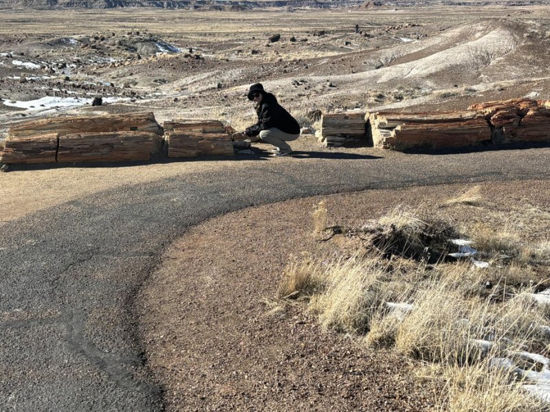
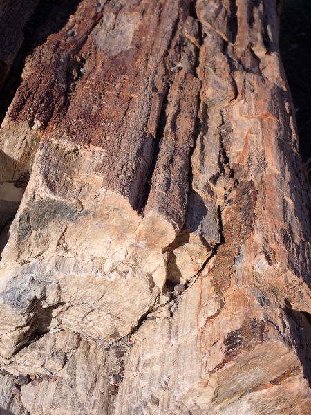
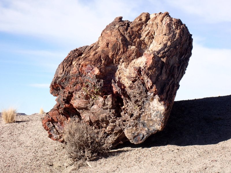
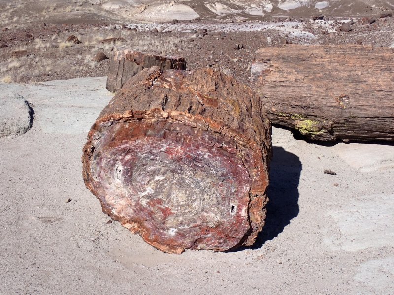
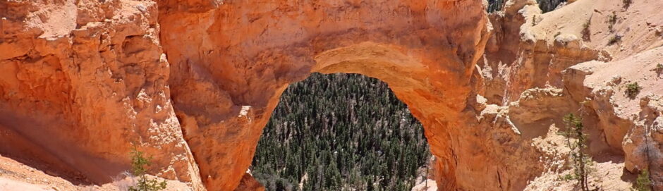
Again, not to give the wrong impression, there are fascinating geologic phenomena to study on the plateau. However, probably fascinating only to geoscientists. There is oil and gas exploration, development and production, mining and minerals and features only geologists love that if I delved into them readers would soon lose the will to live let alone read about. In the end, the sheer beauty and splendor of the Colorado Plateau is the main attraction.