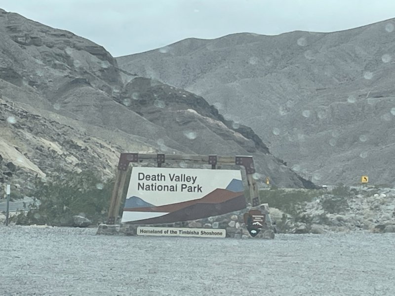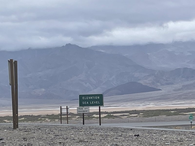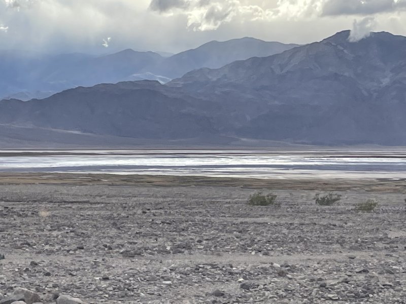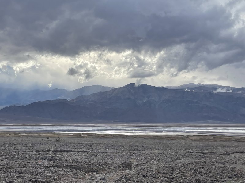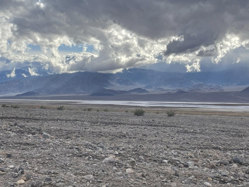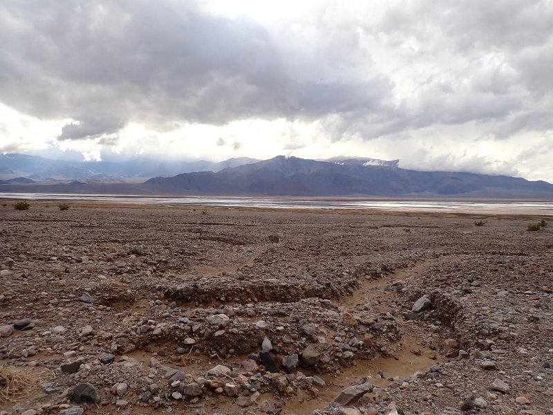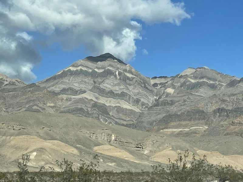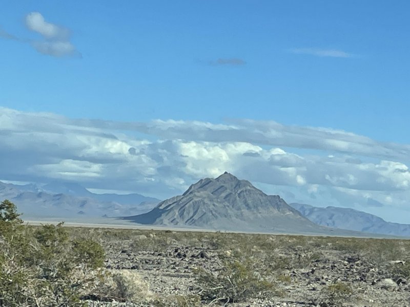
A little bit of geography here. Death Valley National Park is the largest national park in the continental United States encompassing over 3,422,000 acres of arid desert east of the Sierra Nevada Mountains. Within the park, the elevation change is over 11,300 feet ranging from 11,049 feet ASL at Telescope Peak to -282 ft ASL at Badwater Basin. When I talk about the “Basins” I am referring to the low (extremely low) valleys located more or less on the eastern side of the park between north-south trending mountain ranges on either side. The Panamint and Cottnwood Mountains and Last Chance Range roughly trend south to north through the middle of the park, with Mormon Point Basin, Badwater Basin, Cottonball Basin and Mesquite Flat Basin immediately to the east of these high areas. From south to north, the Black, Funeral and Grapevine Mountains are immediately east of the Basins.
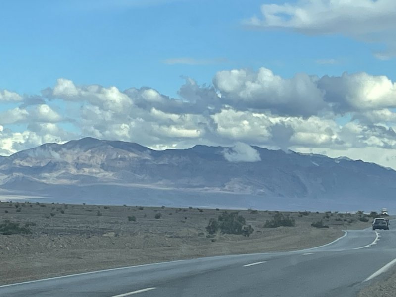
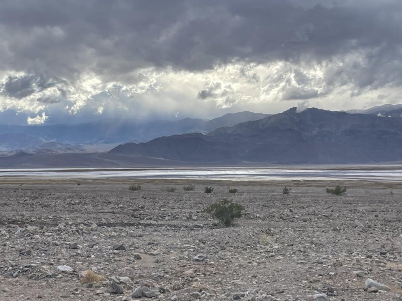
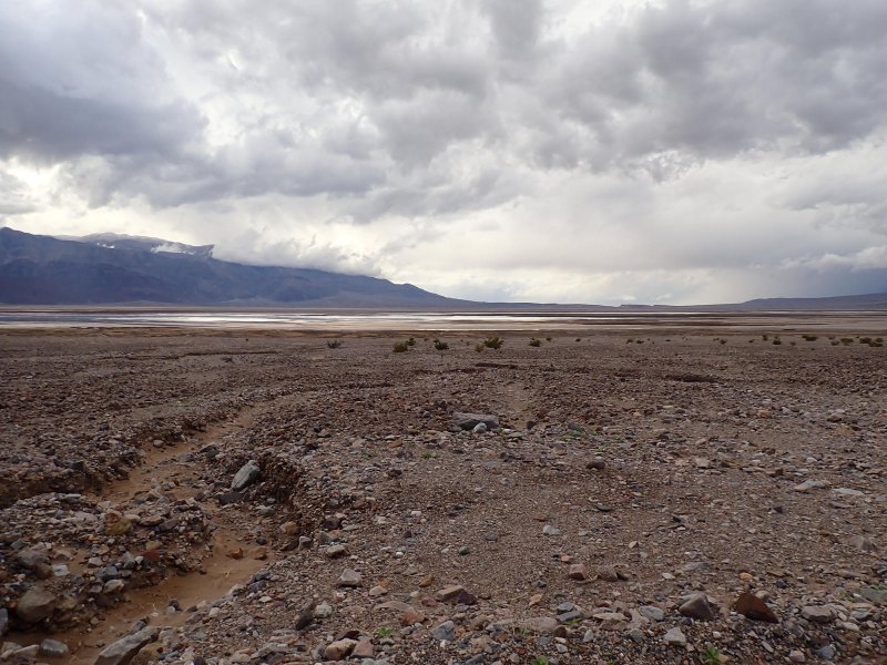
Average rainfall in Death Valley is on the order of 2-inches/year. We were there for this years event. It included 20 knot winds with gusts to 30, temperature of 42 deg F with a wind chill of 37 deg F, sleet at lower elevations and snow at higher elevations.
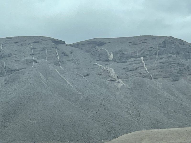
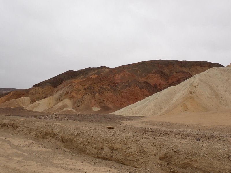
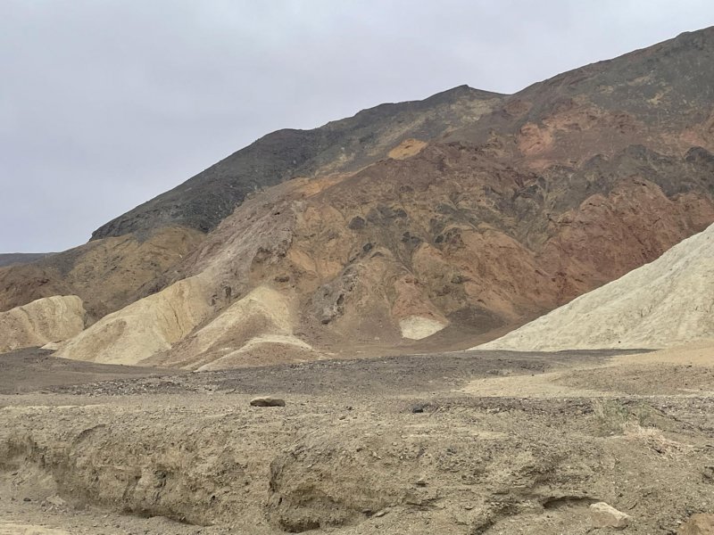
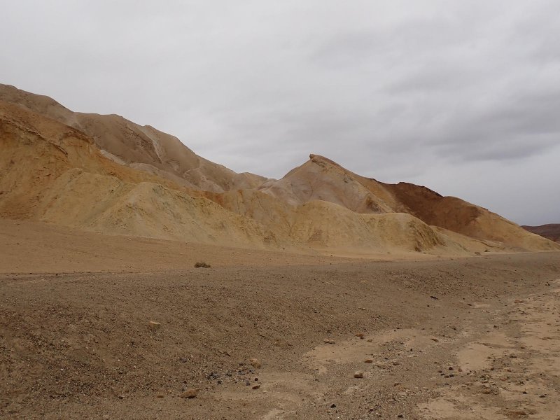
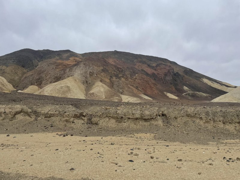
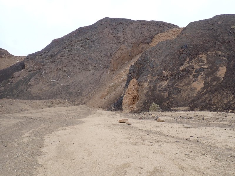
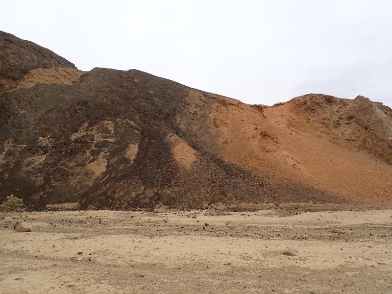
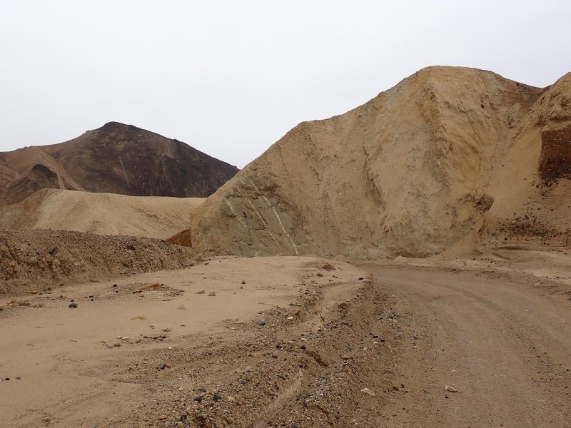
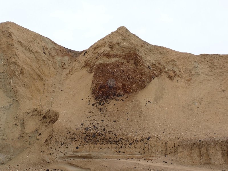
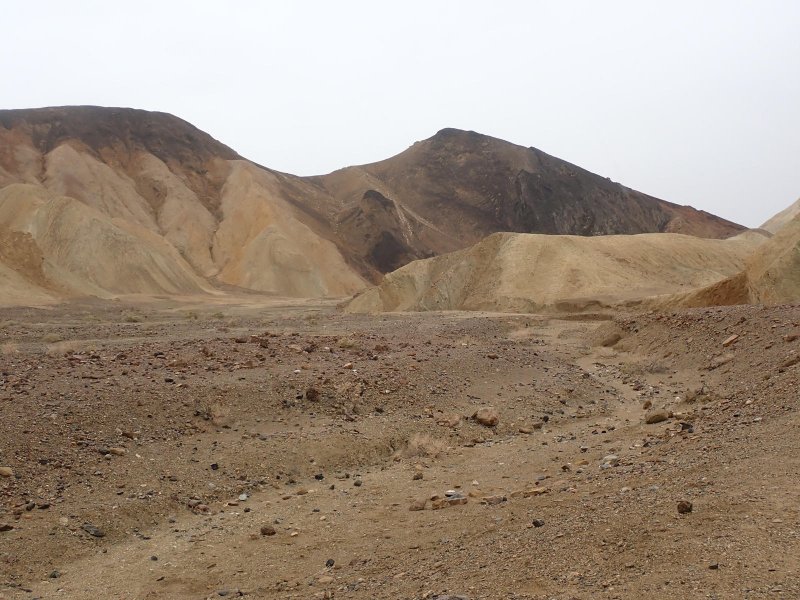
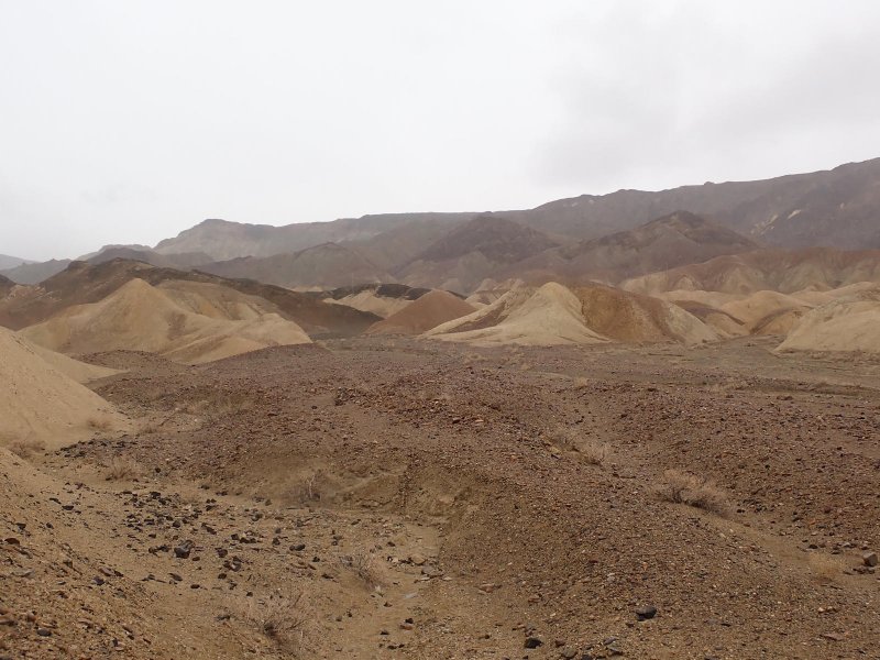
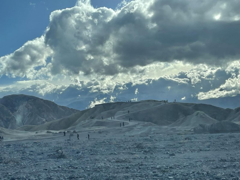
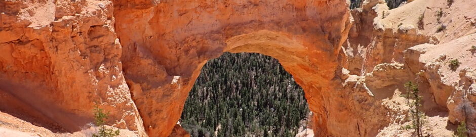
Still, we soldiered on. By God, this was vacation!! We started the day with a drive around 20 Mule Team Canyon which is a 2 WD dirt road between the park boundary and Zabriskie Point. Lots of old mine workings and tails. The entire area is in the Furnace Creek Formation which is a >5,000 ft thick, geologically young, lake (5 – 6 million years ag0 [mya]) deposit which is the primary source of the borate (borax) in this area. The Furnace creek is cut by younger basalts and has weathered out to the colorful badlands topography that are found in this part of the park and show up on the picture below.
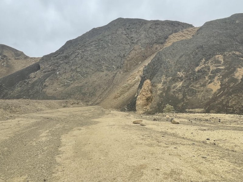
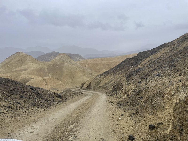
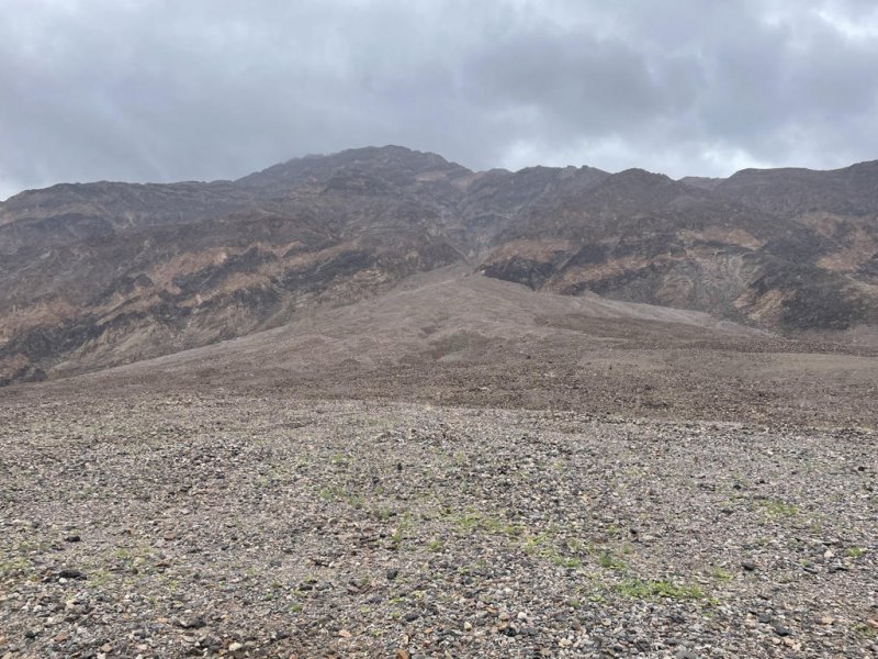
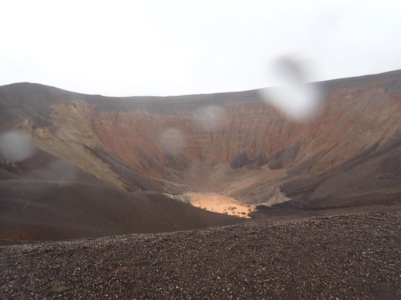
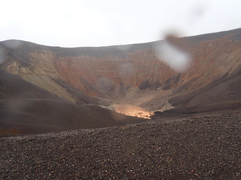
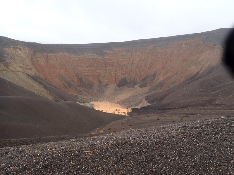
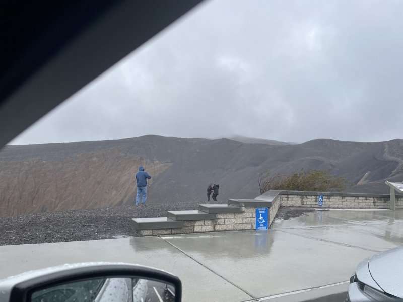
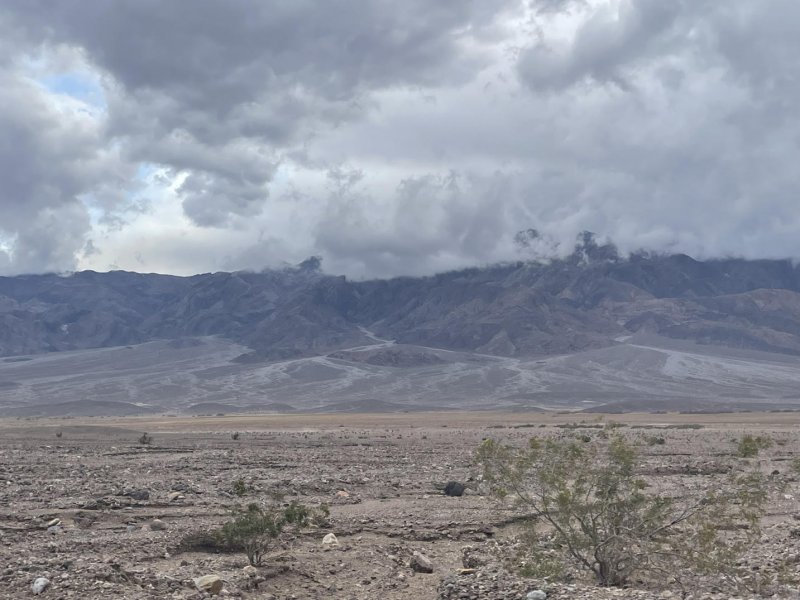
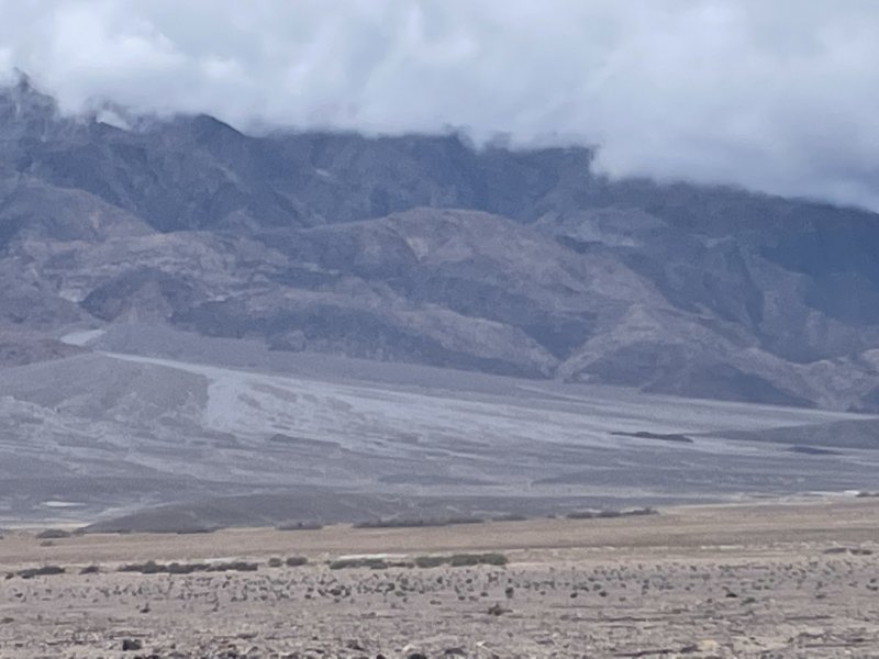
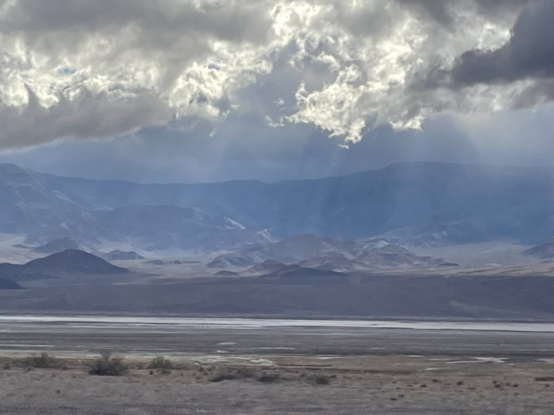
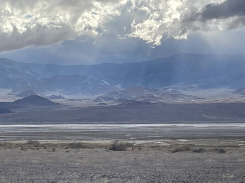
The second stop of the day was after a 66-mile, rainy drive to the Ubehebe Crater located more to the north side of the park. This was what sailors call our victory-at-sea leg for the day. A combination of rain and sleet was falling, mostly horizontally in the 30 mile per hour, 42 deg F (37 deg F. wind chill) winds, as we made our way north along the west side of the Funeral Mountains, Kit Fox Hills and Grapevine Mountains all located on the eastern side of the Basins. We ended up dodging and coaxing the small but powerful and potentially floatation friendly CMAX across sheet flow coming down off of the hills across the alluvial fans and road and then continuing down into the Basin. Ubehebe Crater is one of 7 relatively (potentially extremely) young volcanic craters formed from 800 to 7,000 years ago when rising magma encountered ground water and flashed into steam in the subsurface increasing pressures to the point of an explosion. Only minimal lava is found in the area in Little Ubehebe Crater. What is left for observation is up to 150 feet of black cinder and ash deposits on the ground locally and an approximately 700 foot deep 0.5-mile-wide hole in the ground with several smaller craters ringing the main crater. Lunch in the car at the crater rim watching underdressed tourists shivering while they were hugging themselves and walking around with their heads bowed.
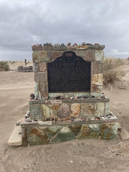
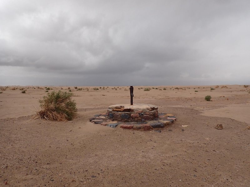
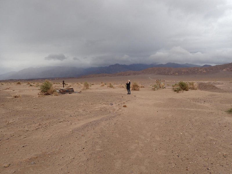
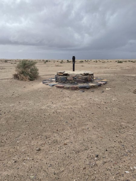
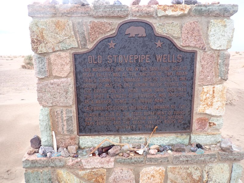
Third stop was a quick swing down to the location of the original Stovepipe Well 36 miles south along the wet and muddy highway. It was named by early travelers after marking the location toward the eastern side of the Basins with a stovepipe so that folks traveling after them could find it if and when it got buried with blowing sand.
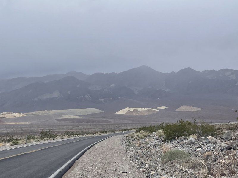
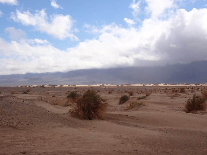
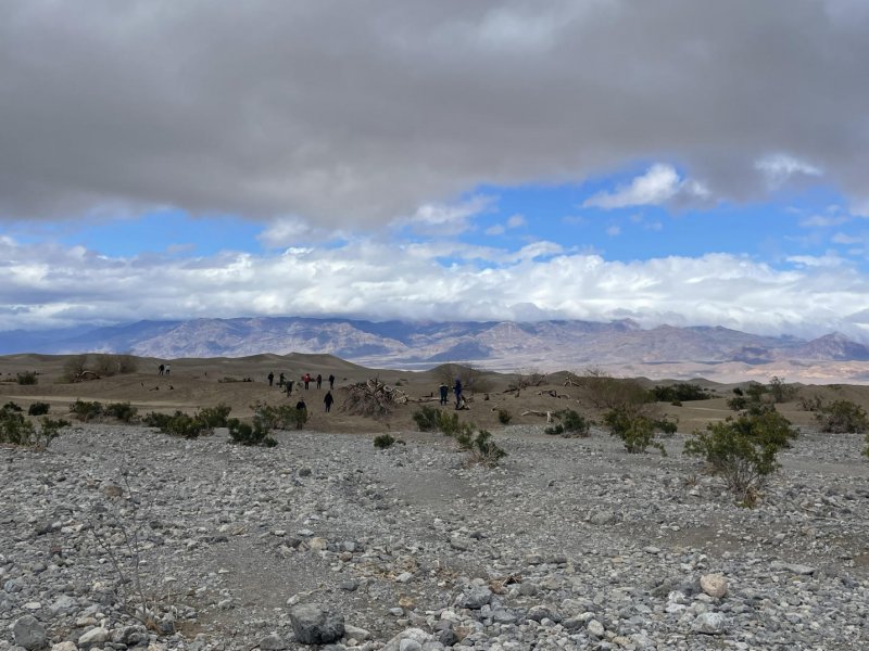
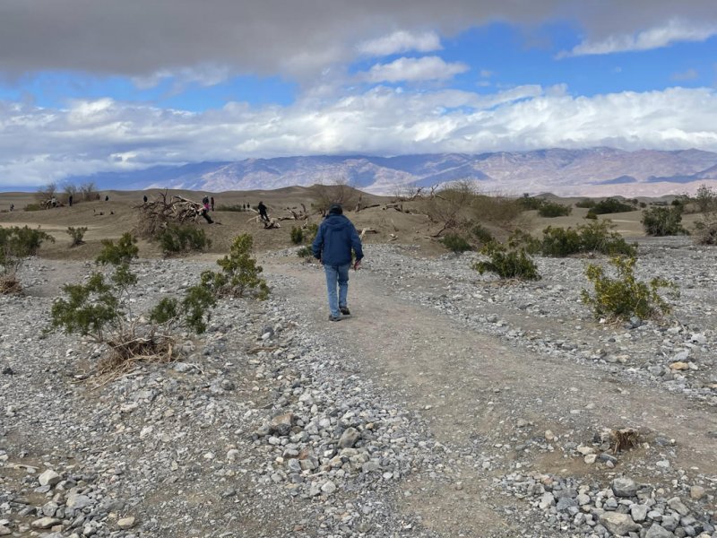
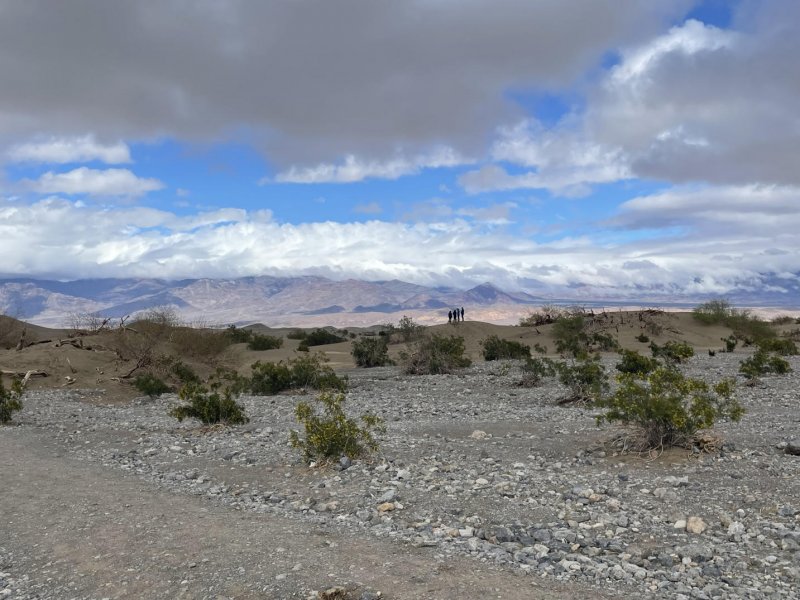
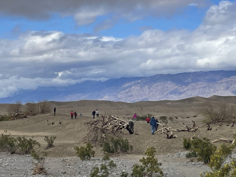
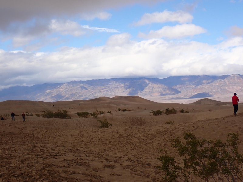
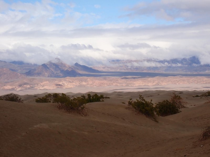
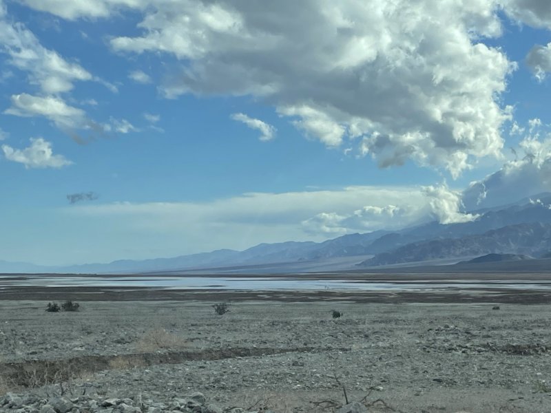
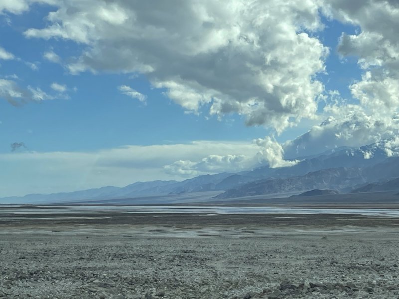
From the original Stovepipe well, we headed 9 miles west across the Basins (lots of long, straight stretches of highway in this part of the world) making a stop at the Mesquite Flat Dunes for some pictures and a short hike out onto the near dunes.
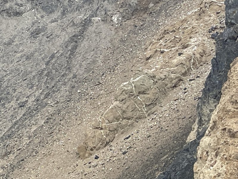
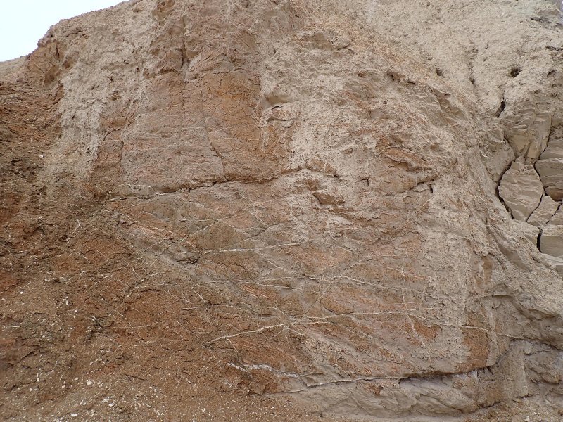
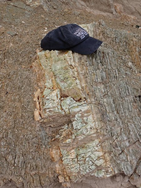
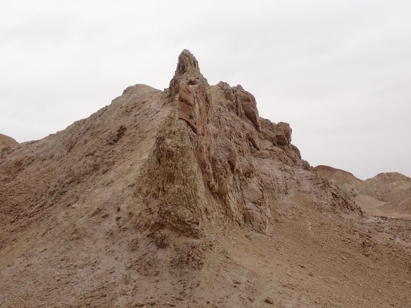
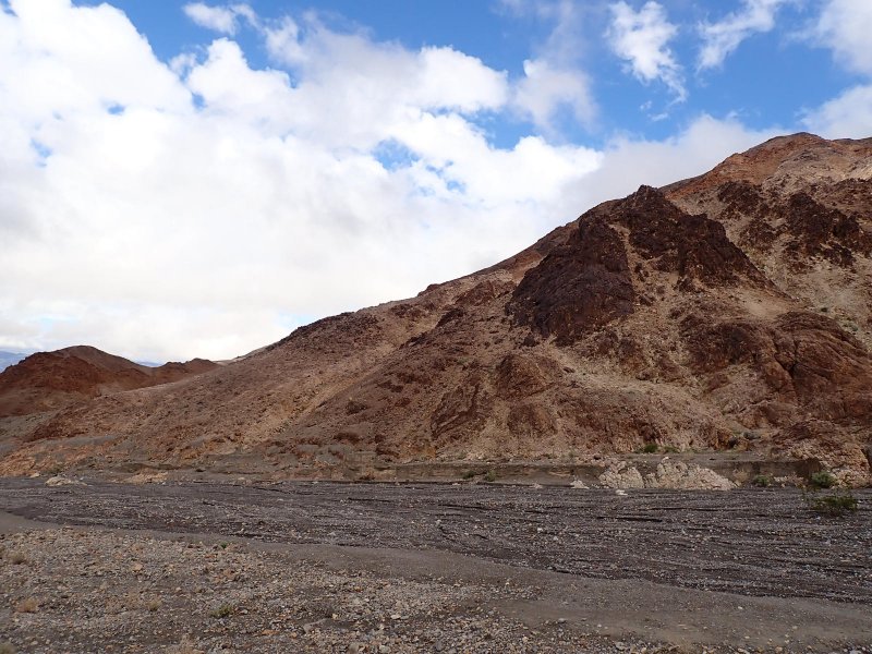
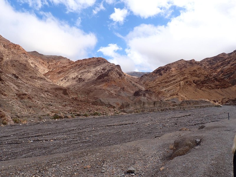
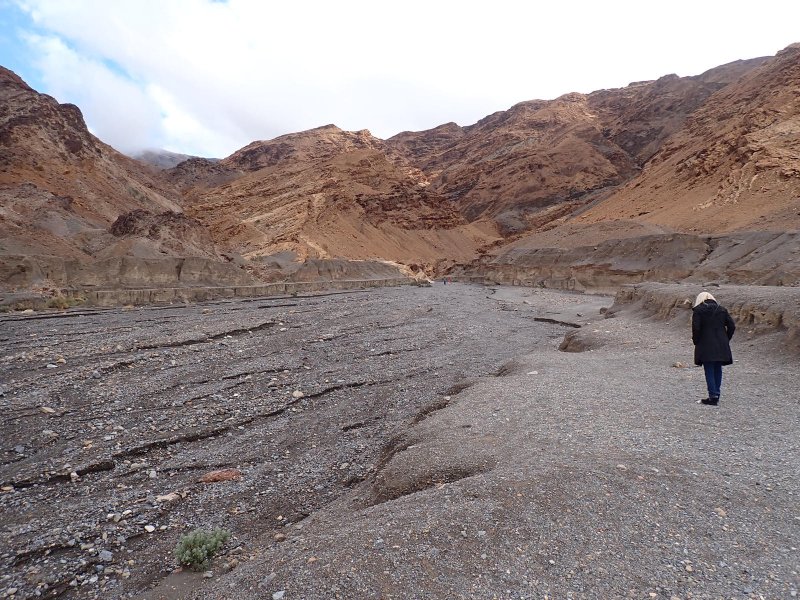
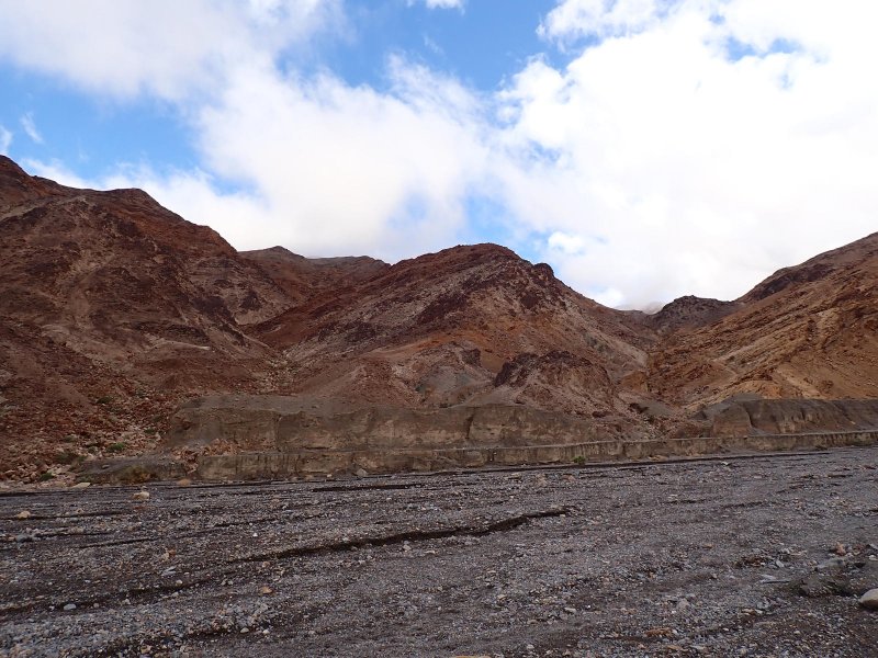
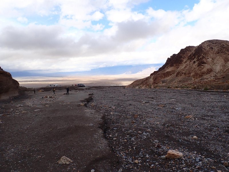
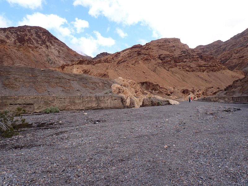
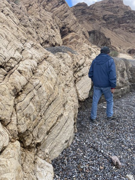
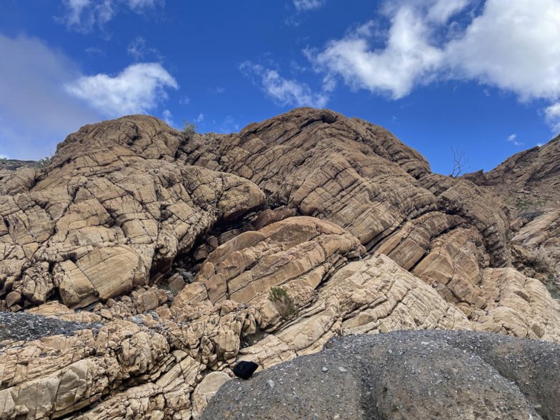
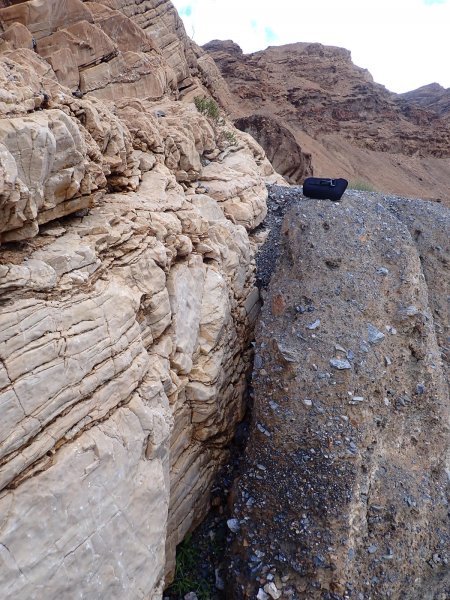
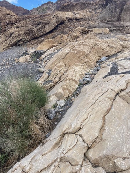
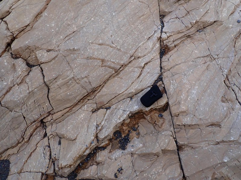
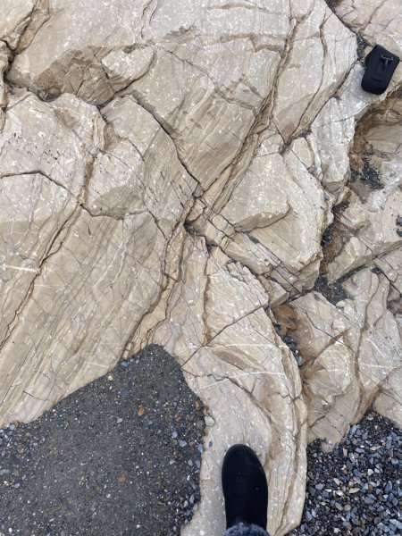
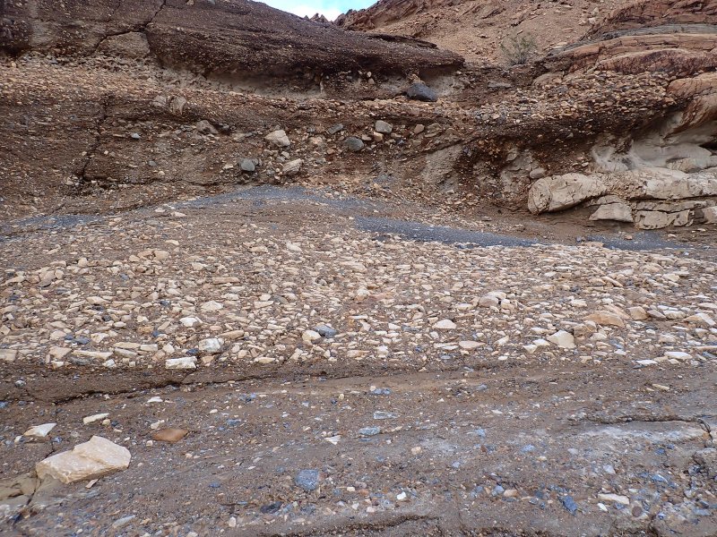
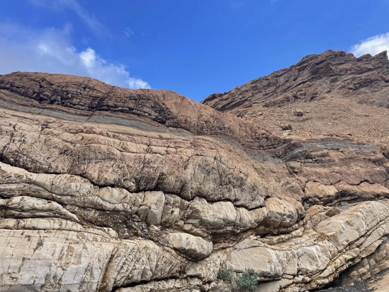
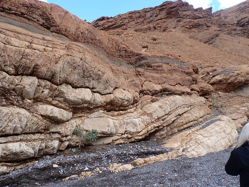
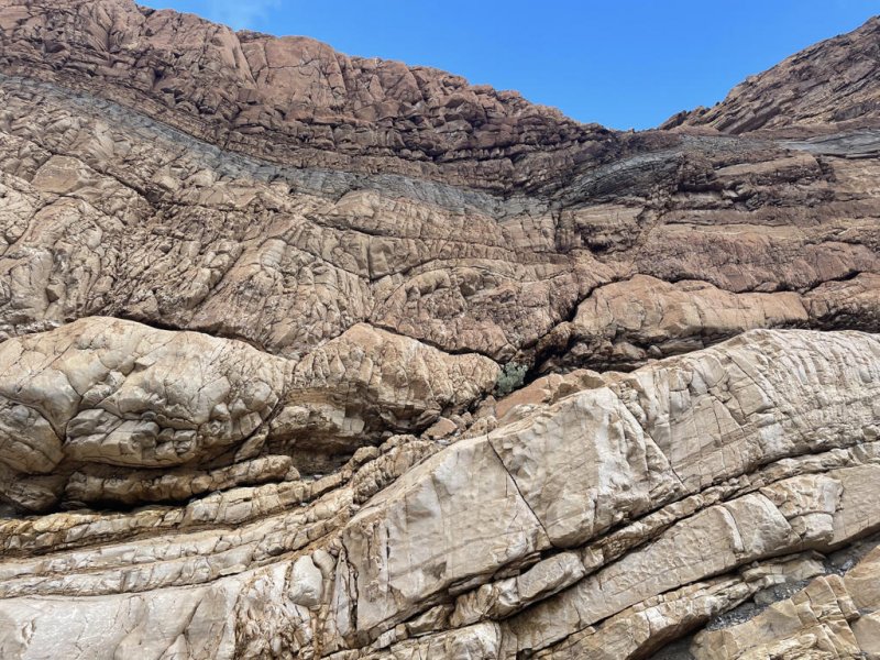
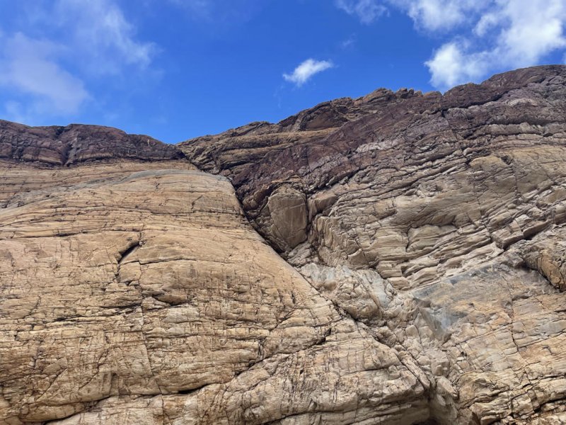
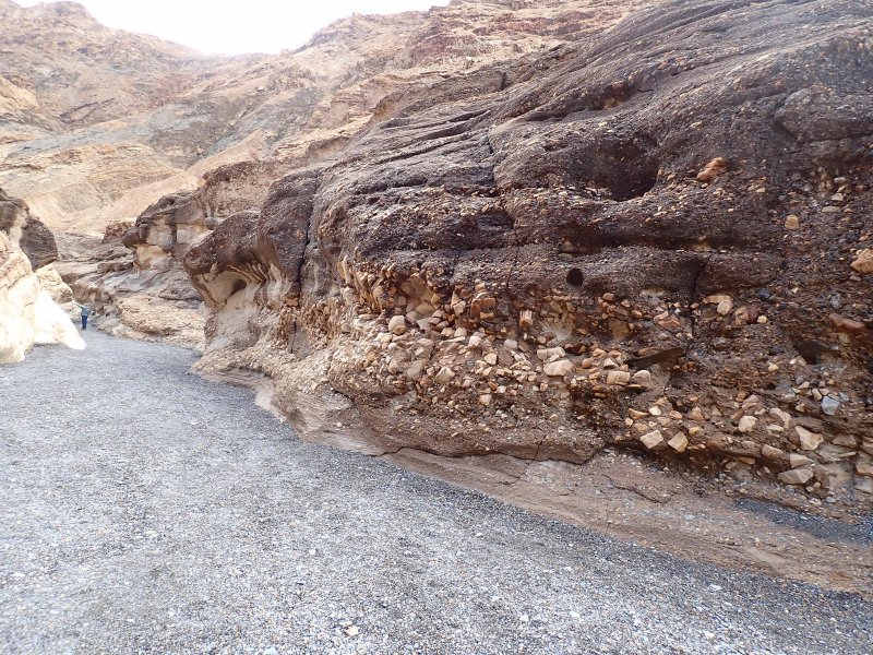
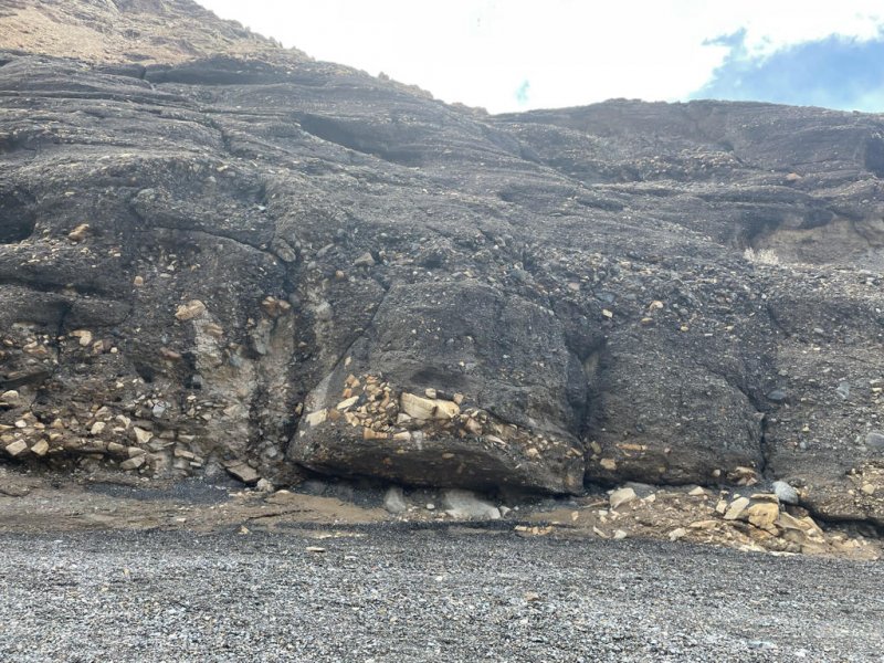
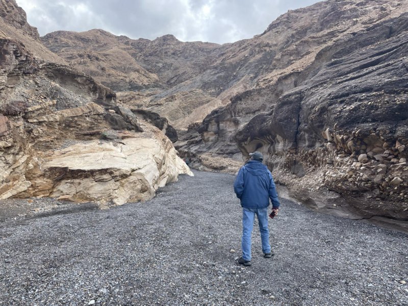
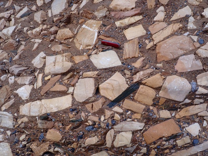
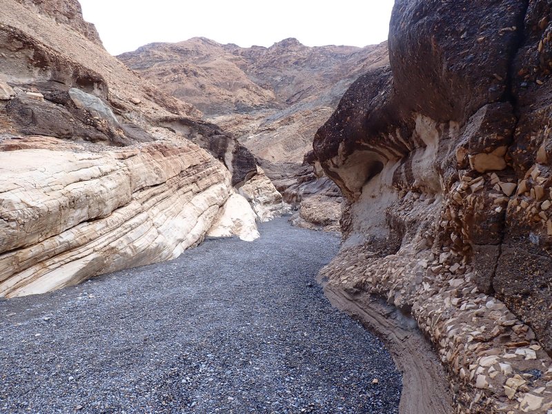
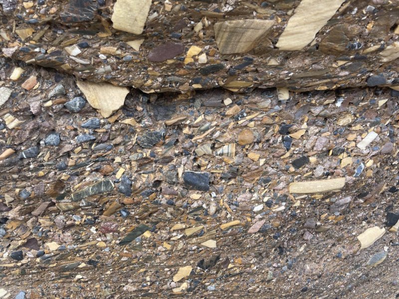
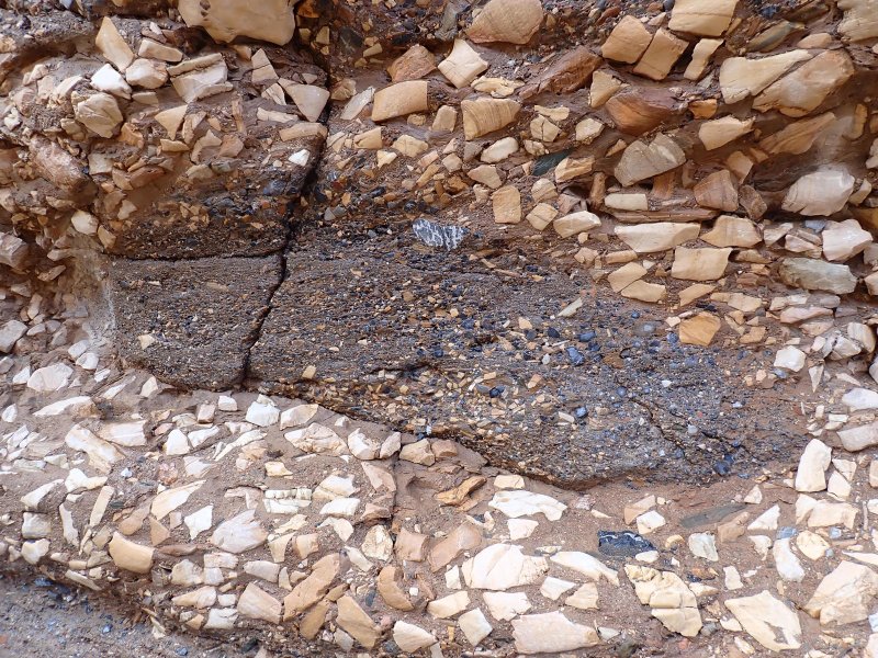
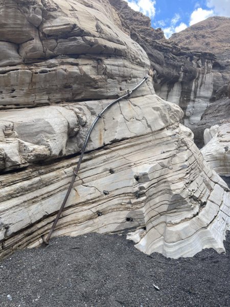
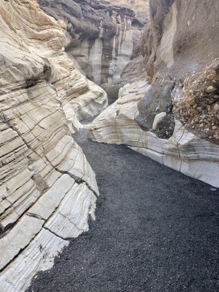
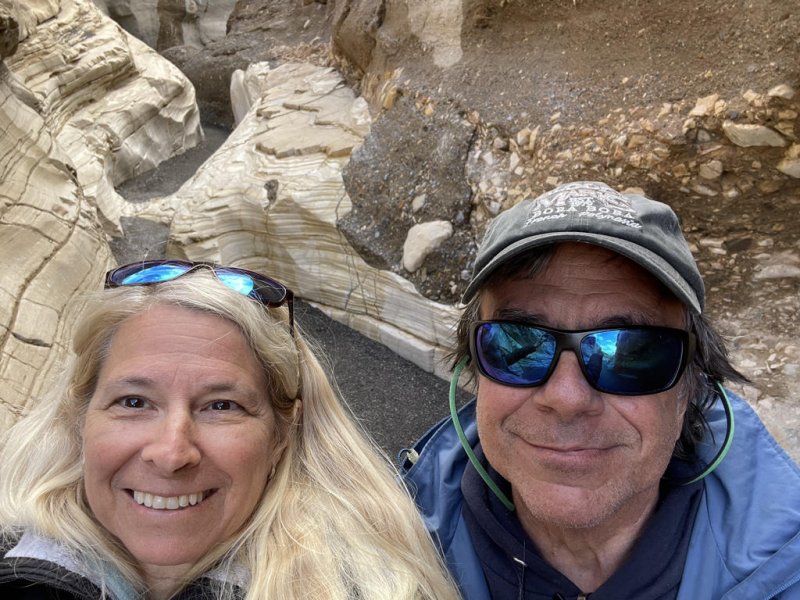
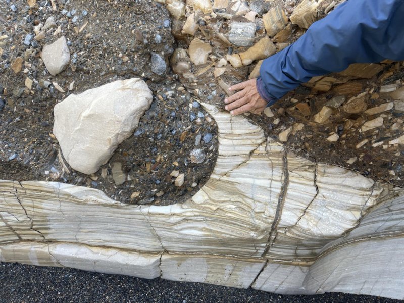
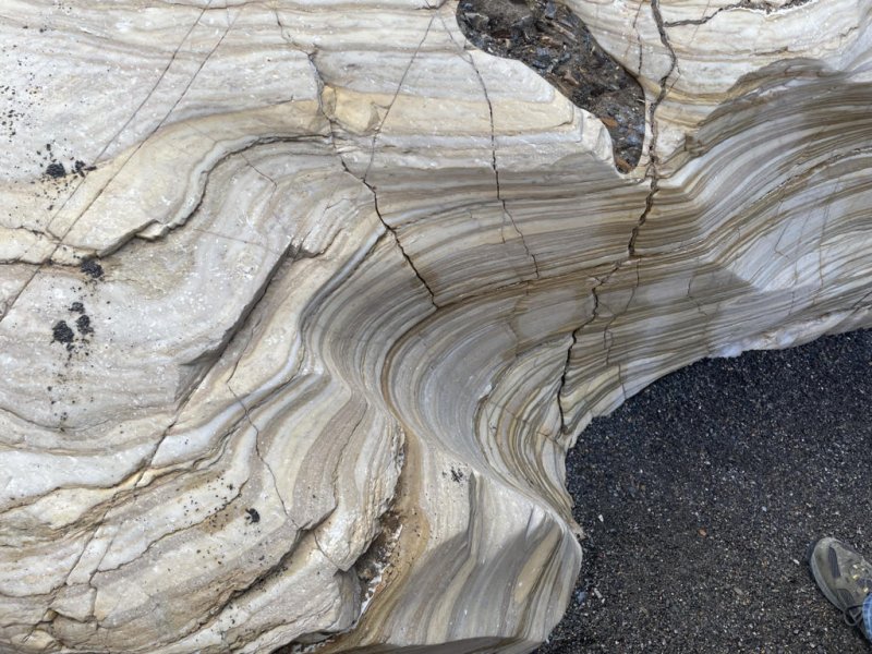
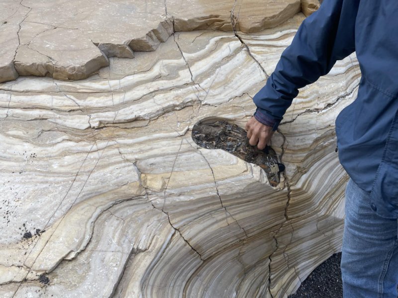
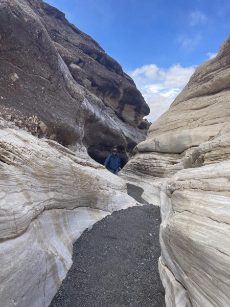
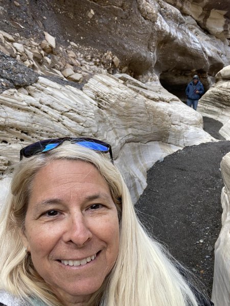
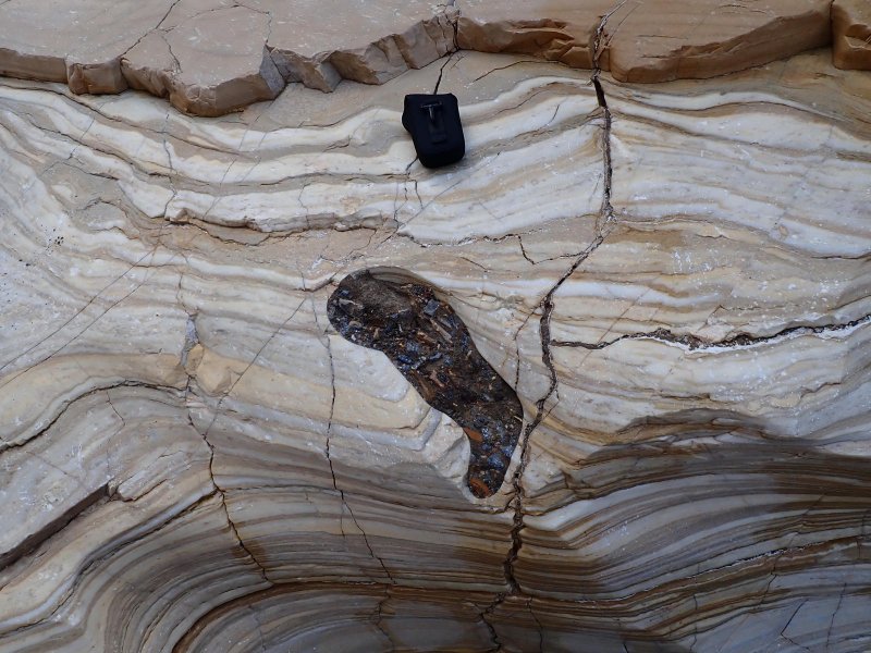
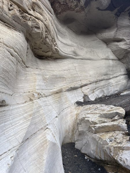
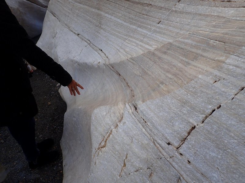
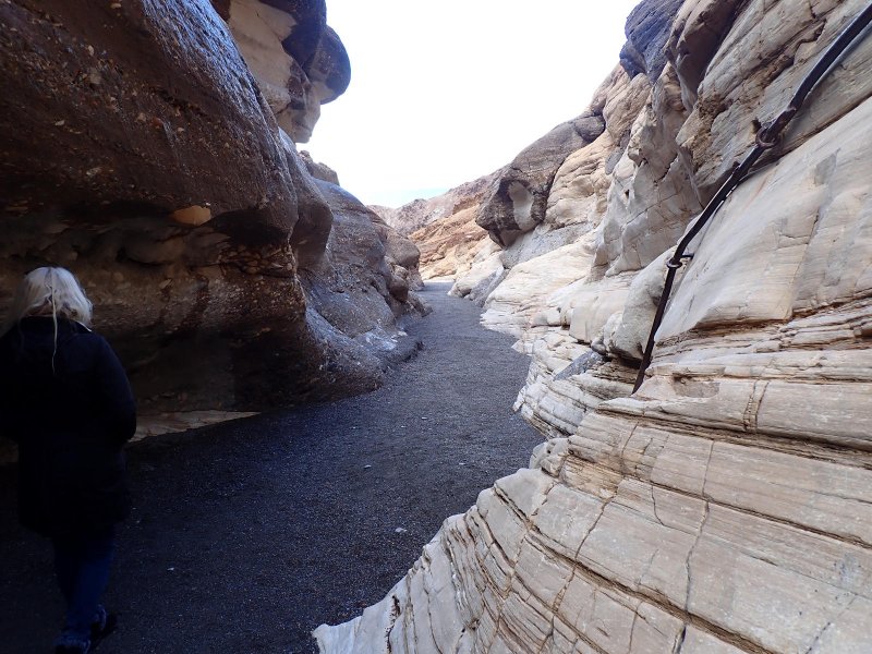
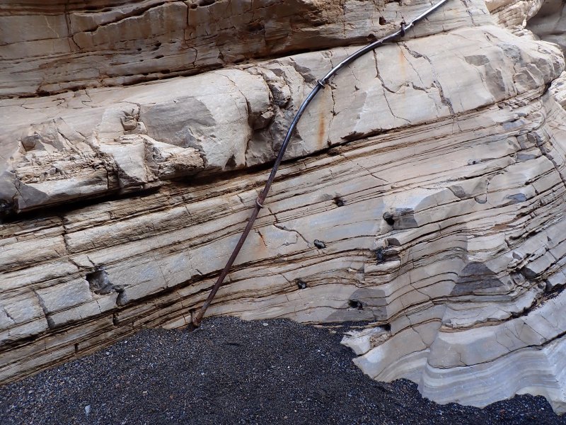
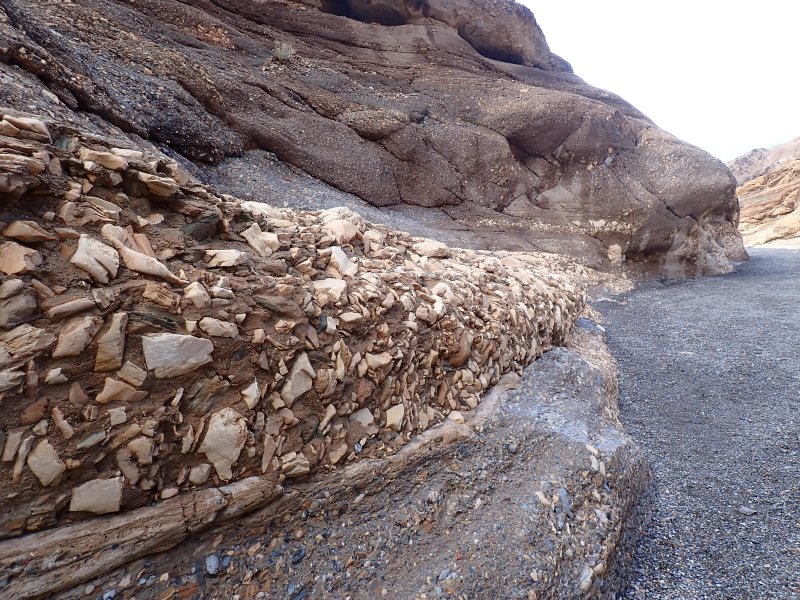
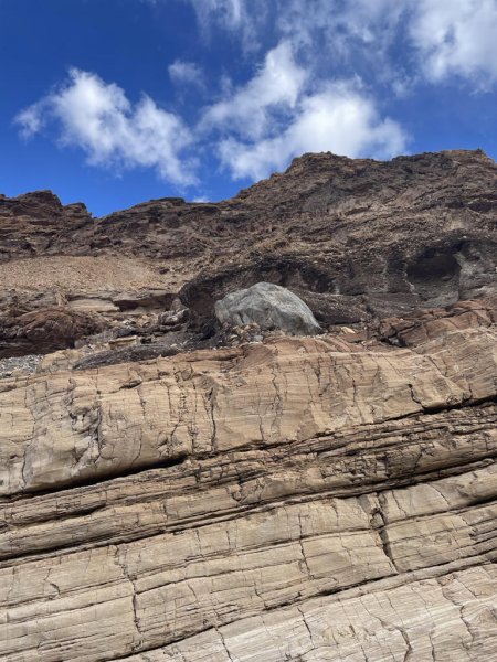
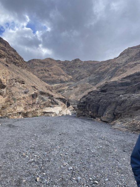
We then headed for Mosaic Canyon going through the settlement/resort Stovepipe Wells and noting the location of an architecturally and location appropriate saloon. Mosaic Canyon is located on the north flank of Tucki Mountain in the northern Panamint Mountain Range on the west side of the Basins. We made our way up to the parking area and hiked into the canyon. What a difference geologically between the east and west highland areas of the park. Mosaic Canyon is predominately cut into the Noonday Formation which is a 600+ million-year-old sequence of carbonates including dolostone, limestone and marbles which originated on the sea floor in the deep dark past before the evolutionary explosion in the Cambrian Period when our ancestors slithered out of the oceans. The younger (but not by much) Johnnie Formation lies above the Noonday and it is predominately a purplish mudstone. There are young gravels, created and deposited in the high energy streamflow environment at the mouth of the canyon. Finally, the photos below show the rocks that the canyon is named for. Areas of large angular pebbles and cobbles are seen cemented into areas of the canyon.
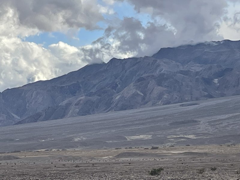
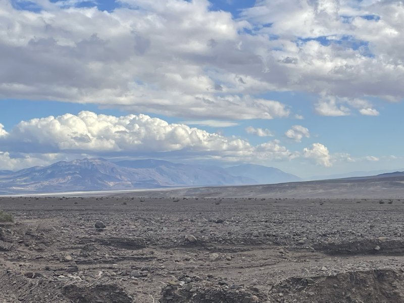
After an exhilarating and slightly damp Mosaic Canyon hike, a stop at the saloon for beer/wine and then as the clouds cleared out and sun began poking through before a spectacular Death Valley Sunset, we di a longish drive back to the Longstreet Inn taking classic desert pictures on the way.
Day 2 was an adventure! There are a lot of pictures in this set!