Getting the 300+ photos for day 3 down to a more manageable size took way more work than I had thought it would. Ended up with 177 or so photos, all worthy to hang in the Louvre.
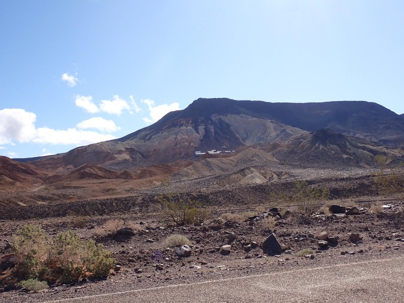
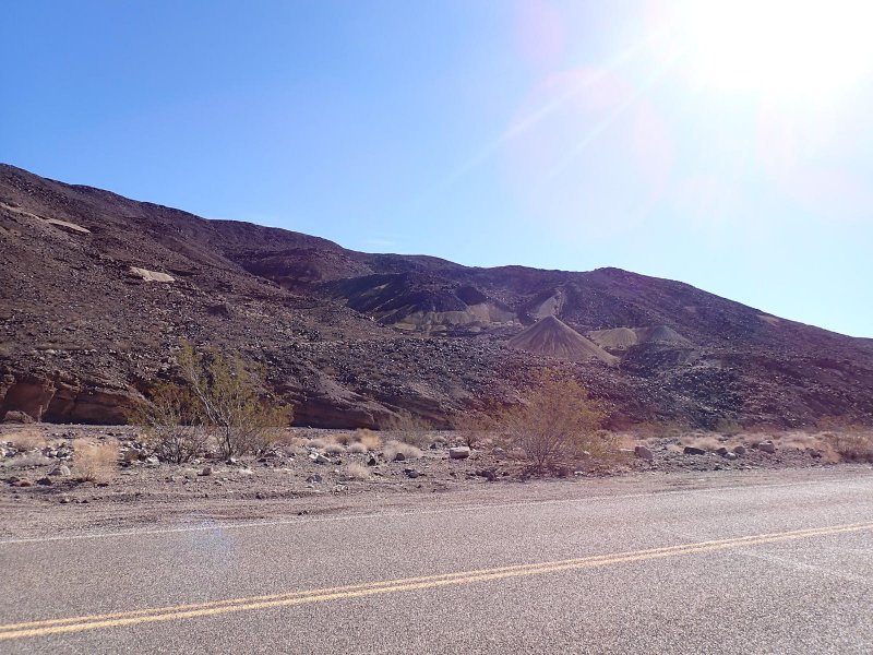
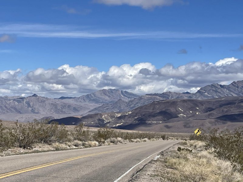
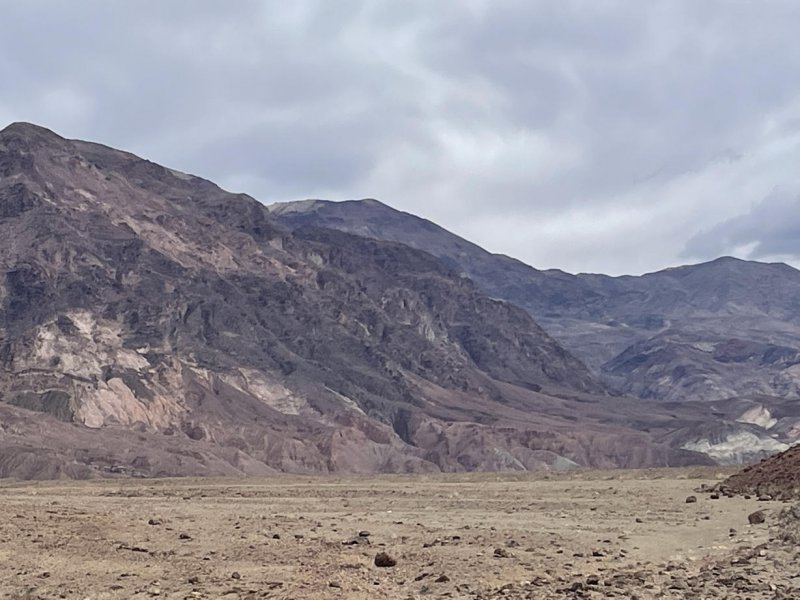
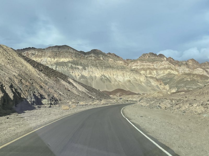
Day 3 started with blue skies and warmer weather. We mapped out the day with a visit to Dante’s View, a lookout on the east side of the Black Mountains; a trip to Badwater, the lowest point in the US; a stop at Natural Bridge trail for a hike; a short stop at Devil’s Golf Course to see another salt pan and a trip around Artists Drive to enjoy the colorful badland topography.
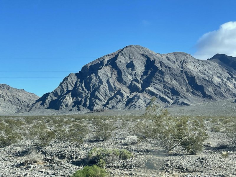
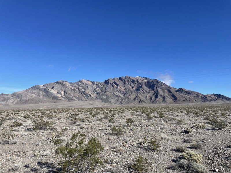
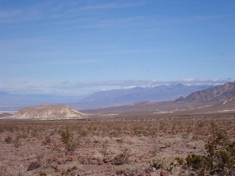
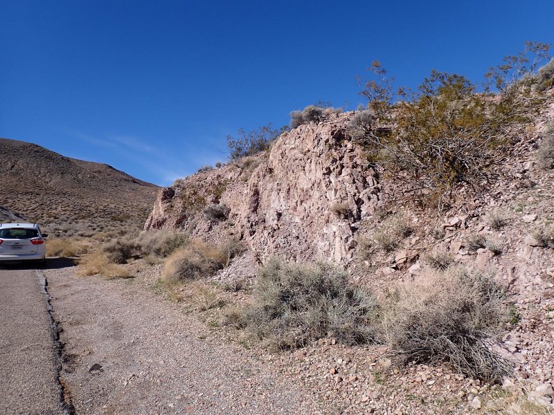
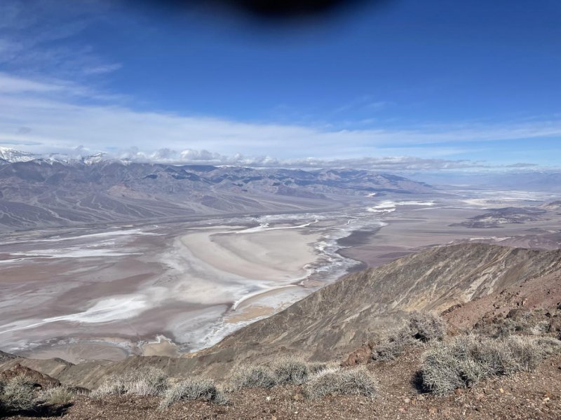
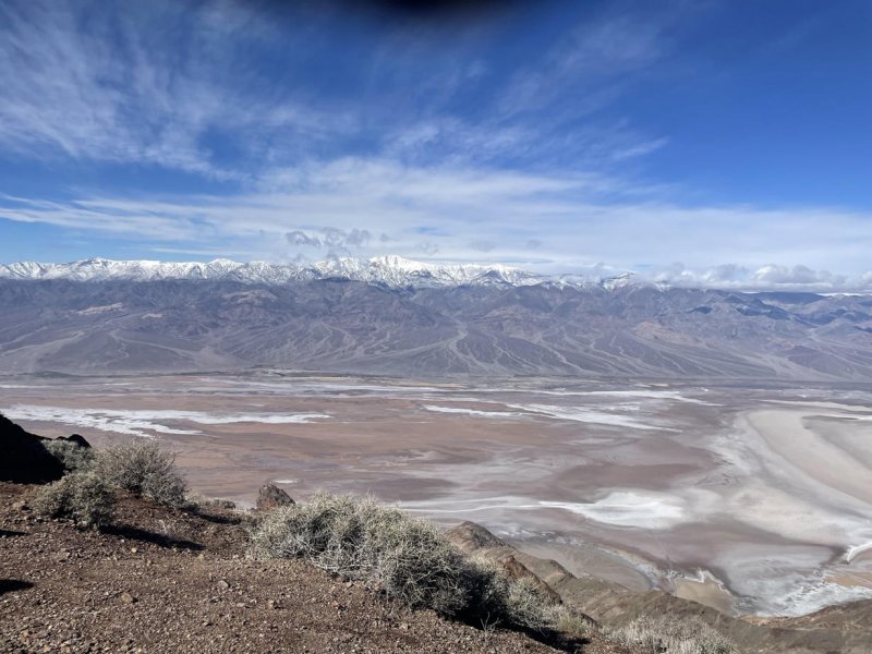
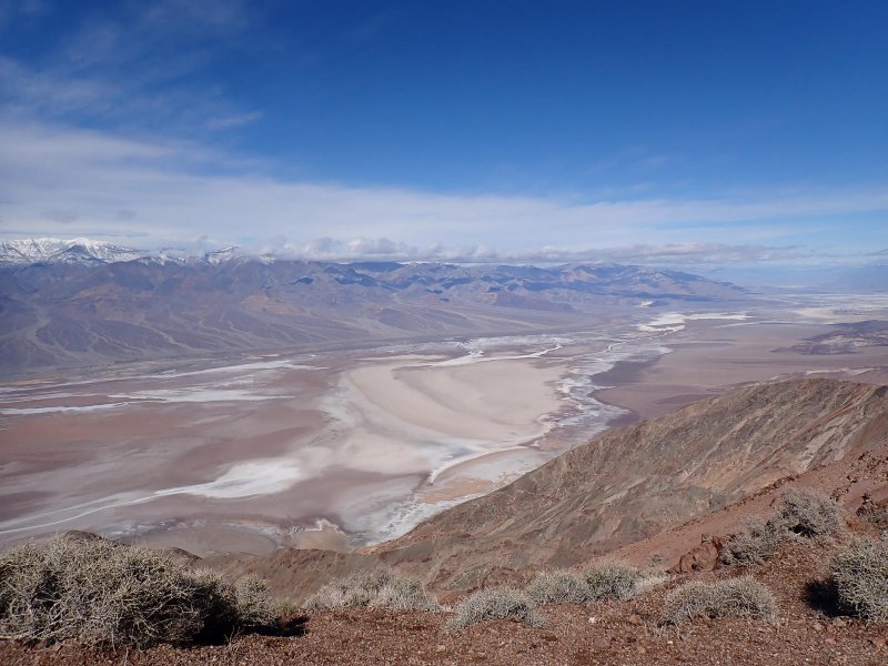
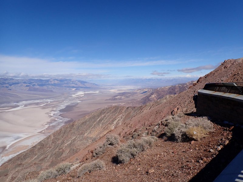
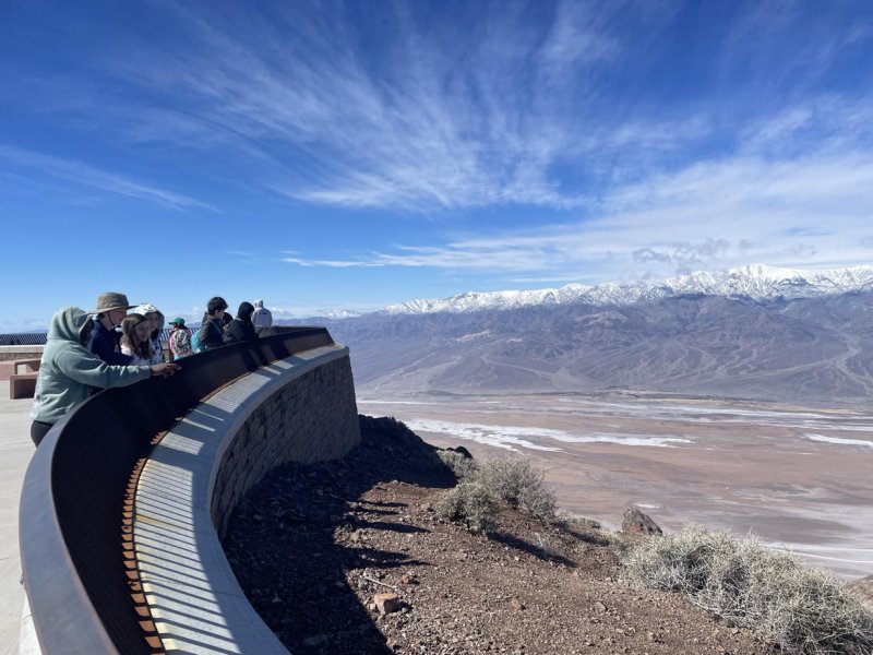
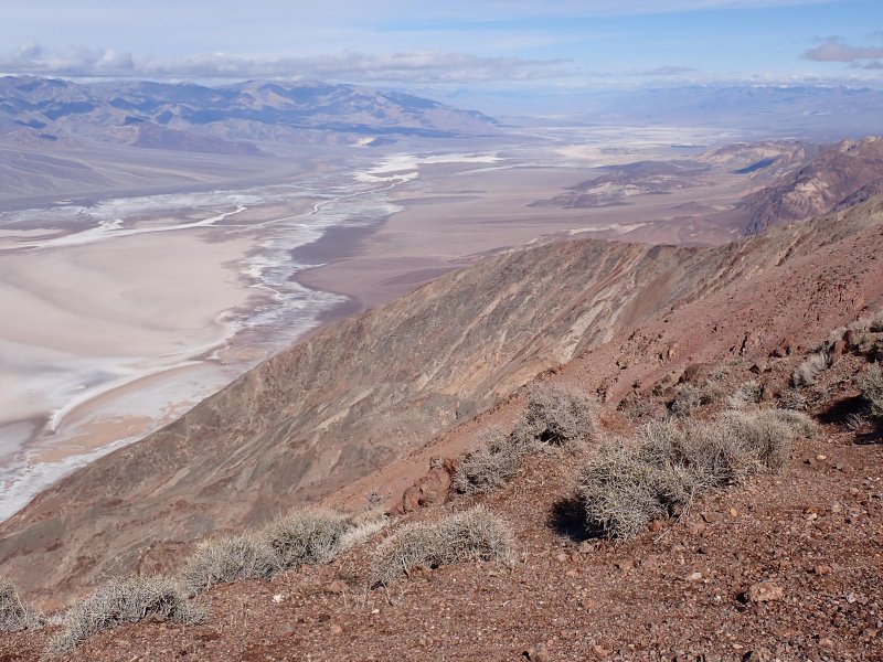
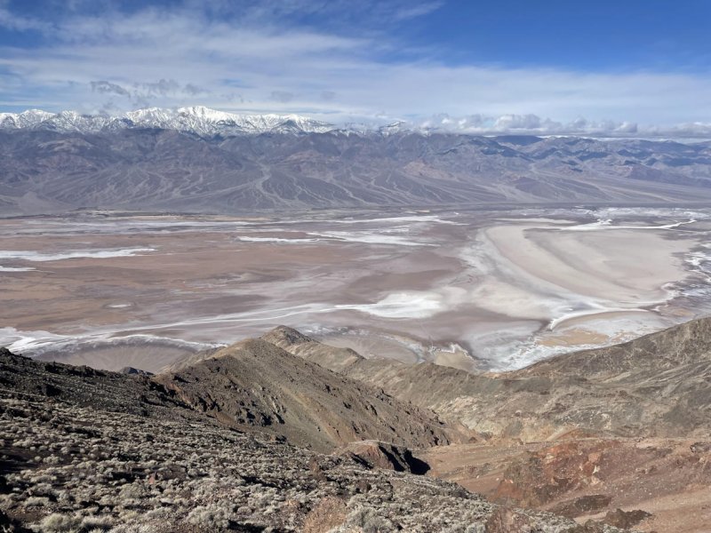
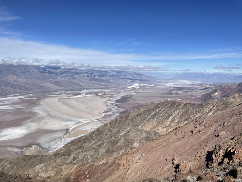
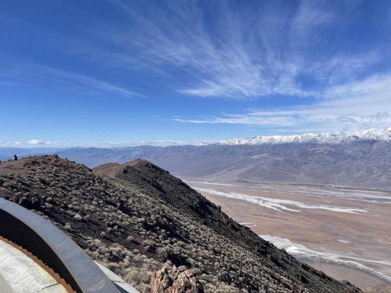
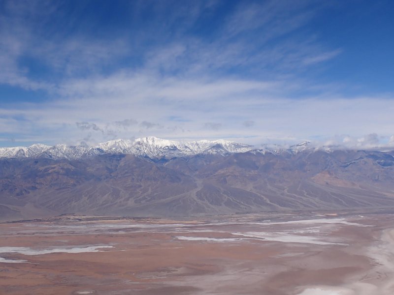
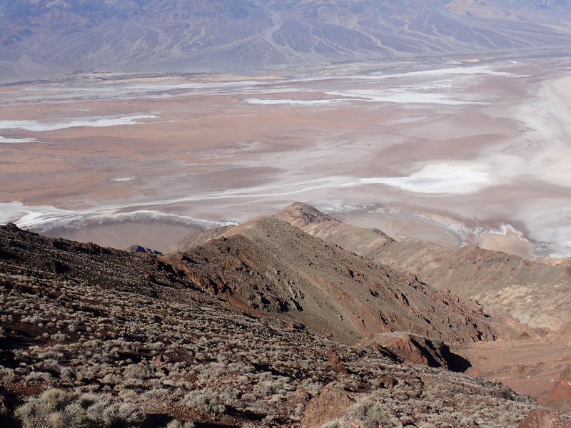
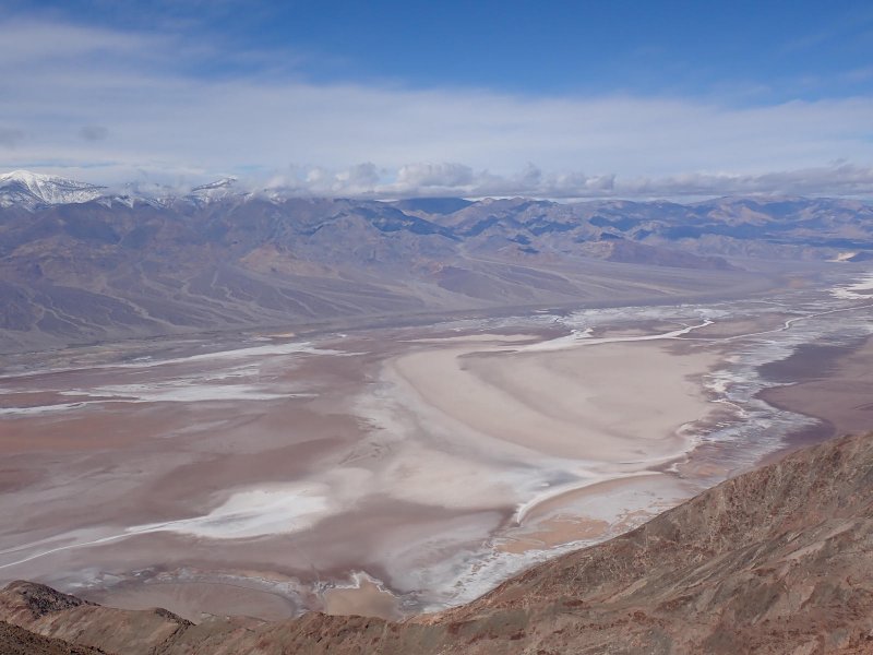
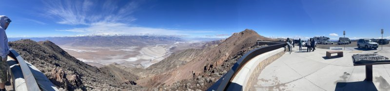
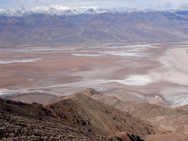
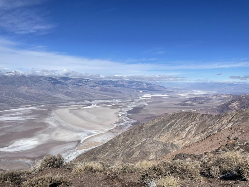
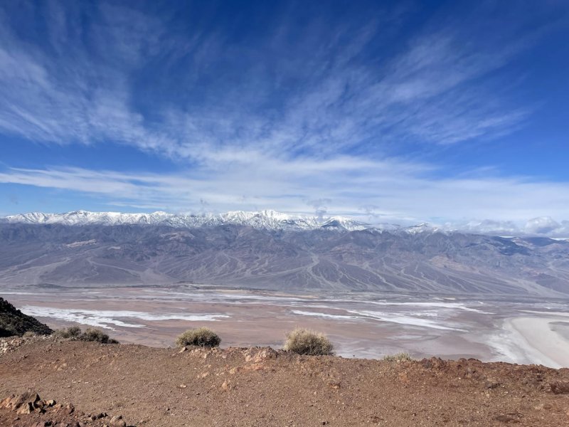
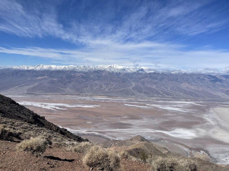
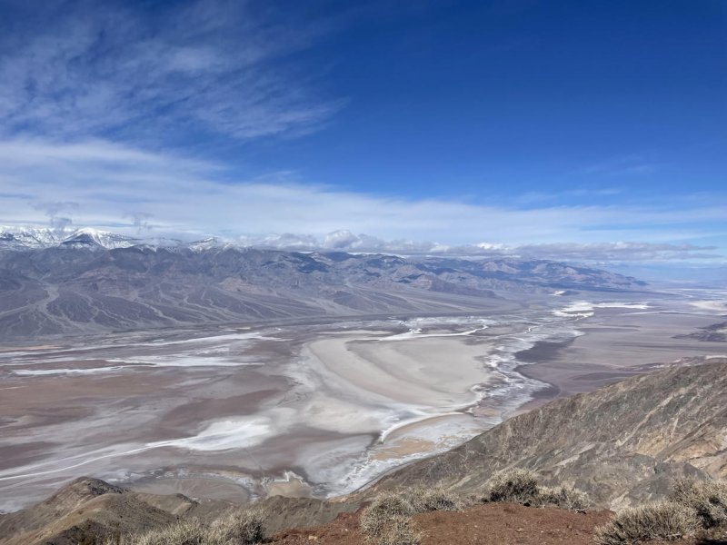
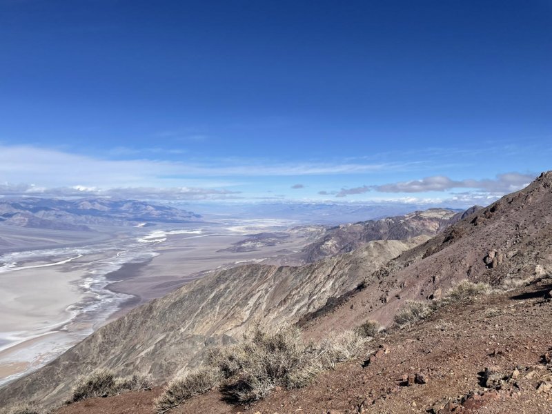
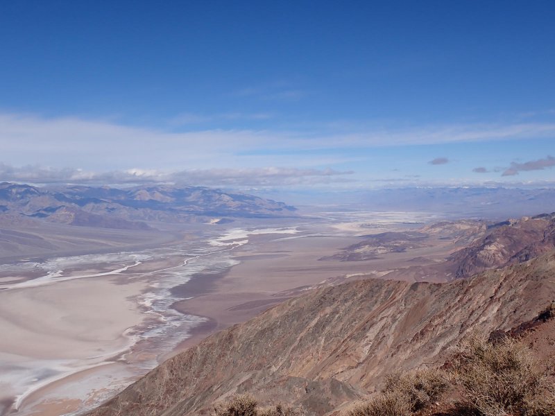
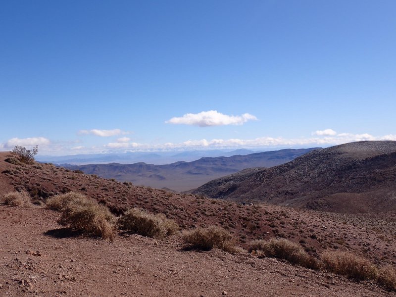
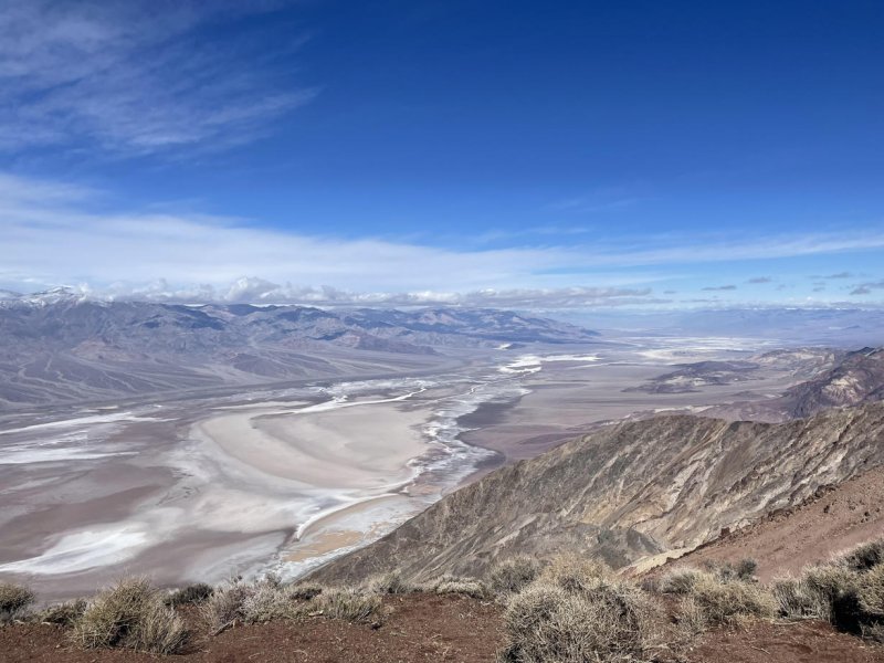
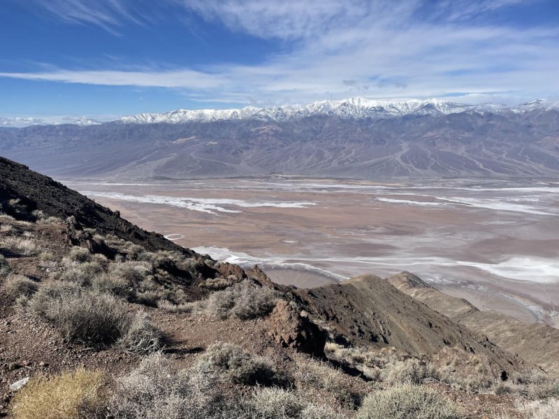
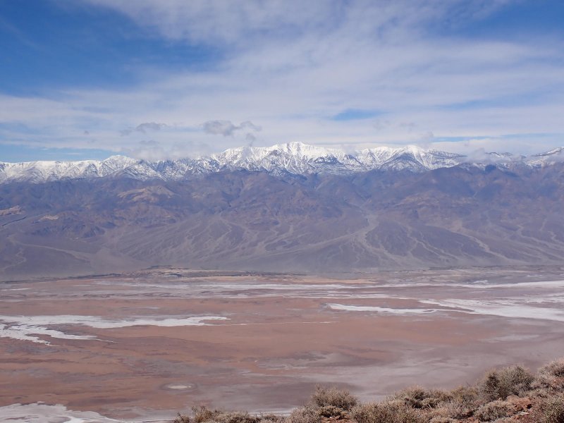
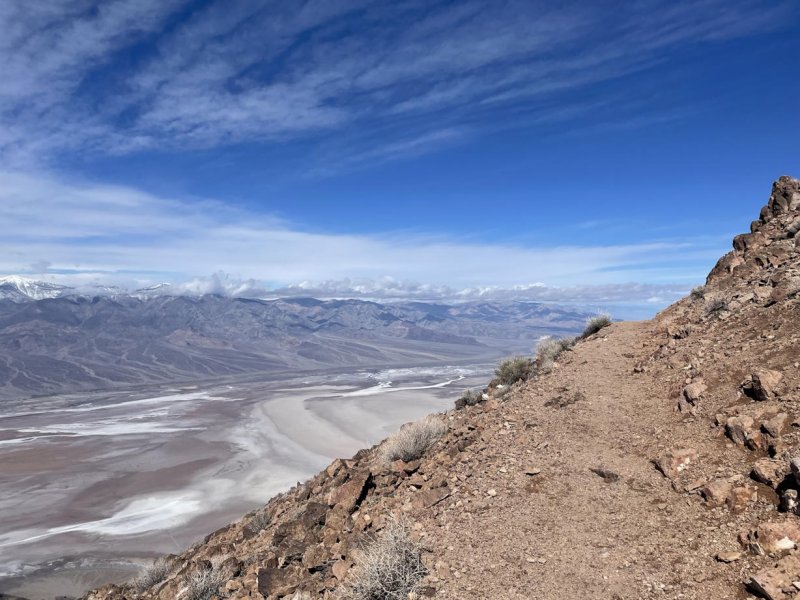
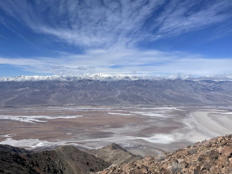
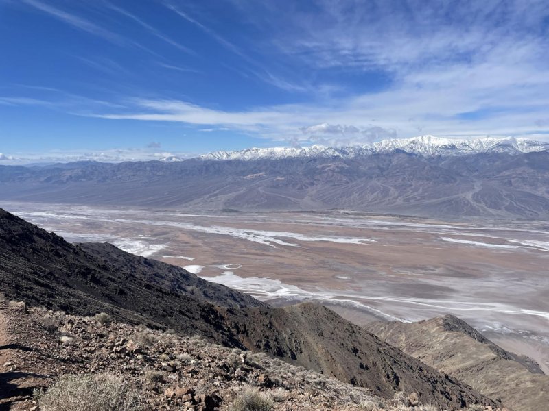
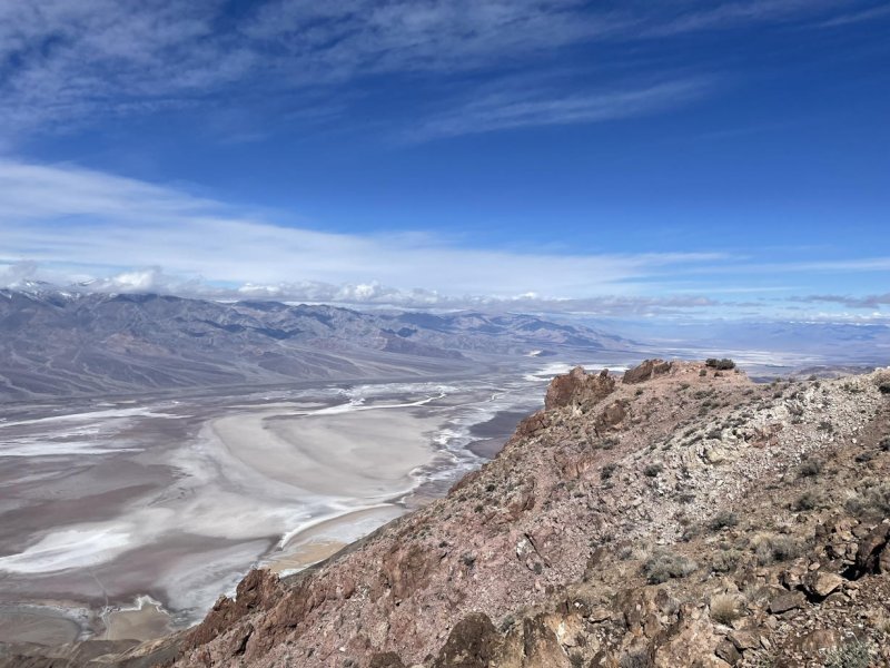
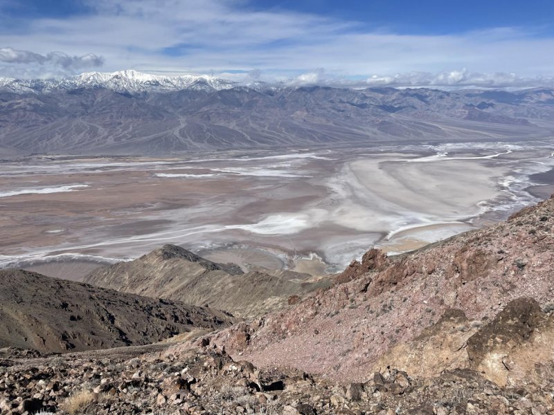
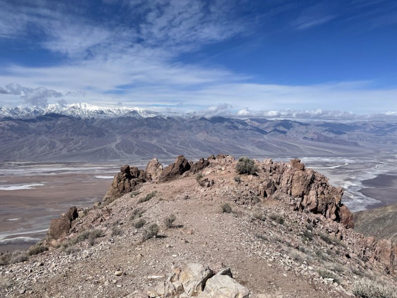
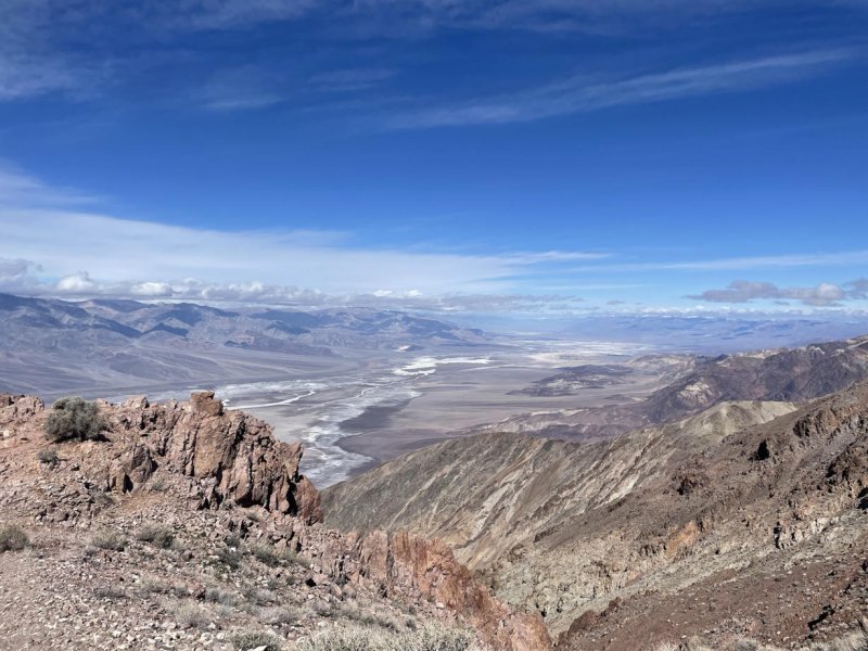
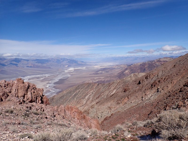
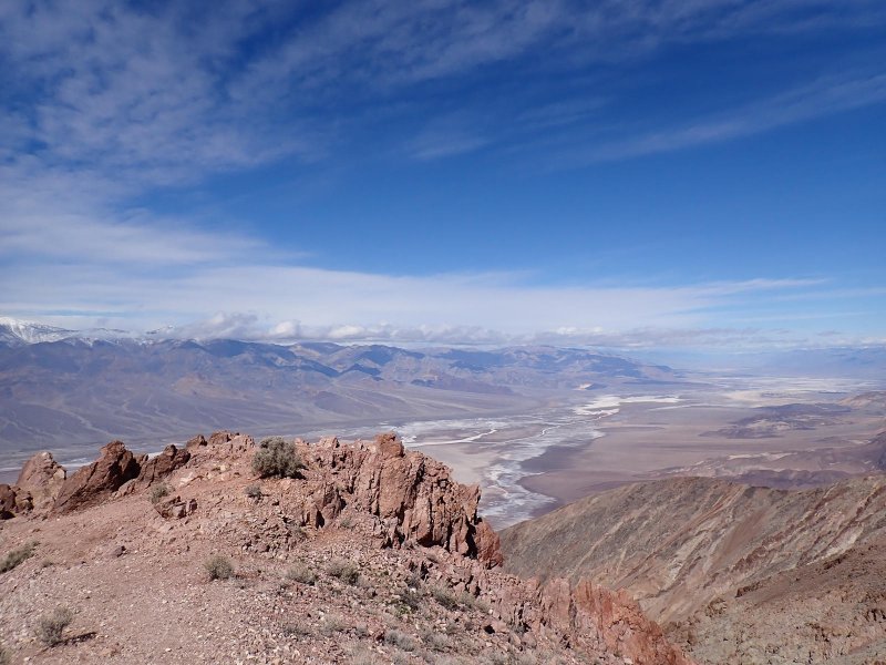
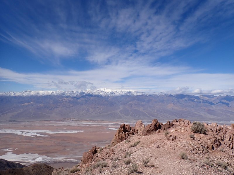
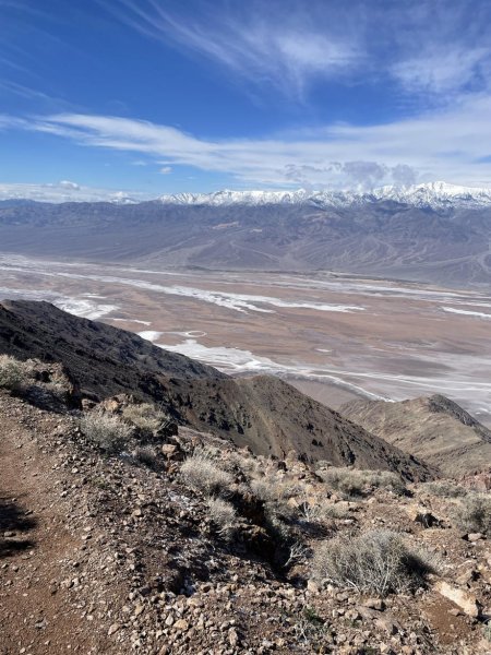
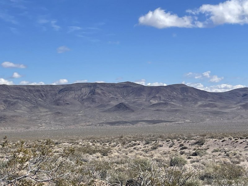
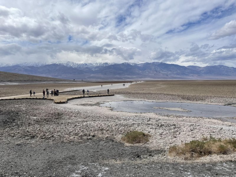
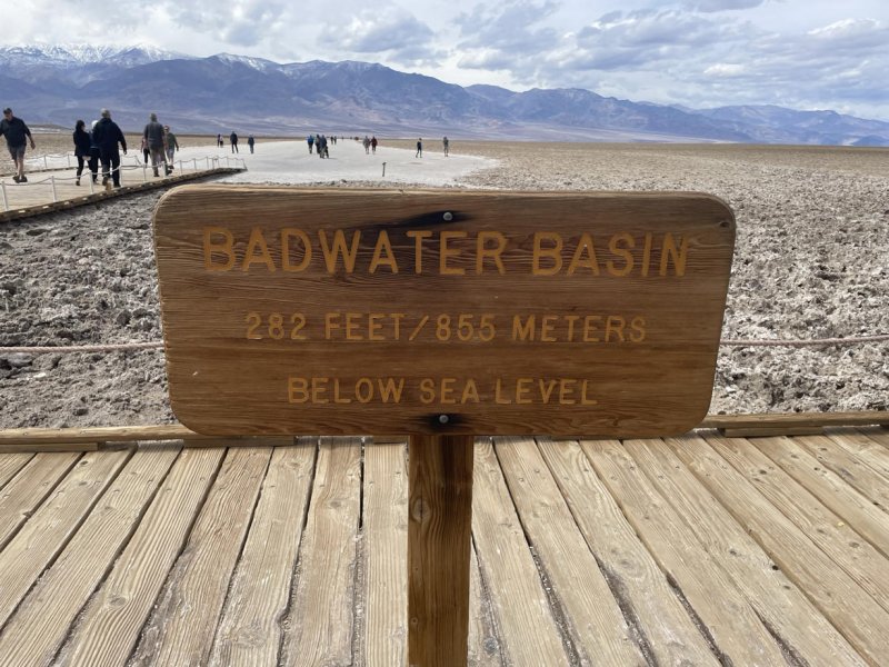
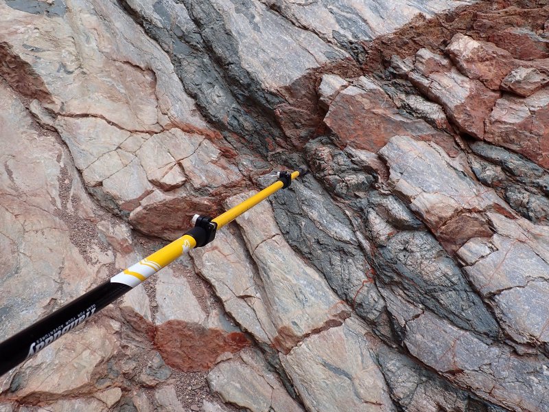
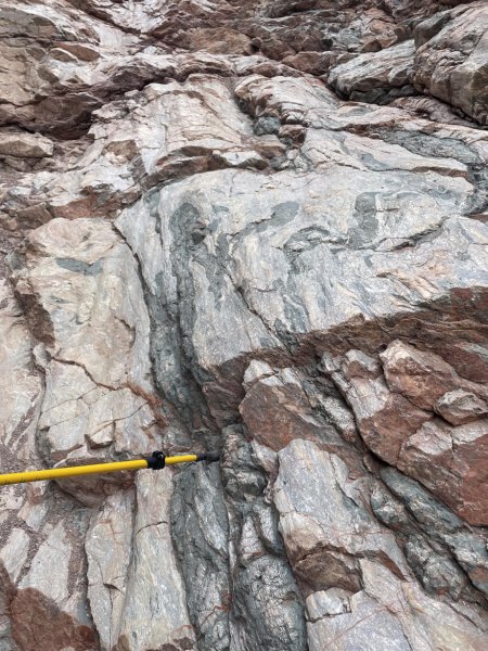
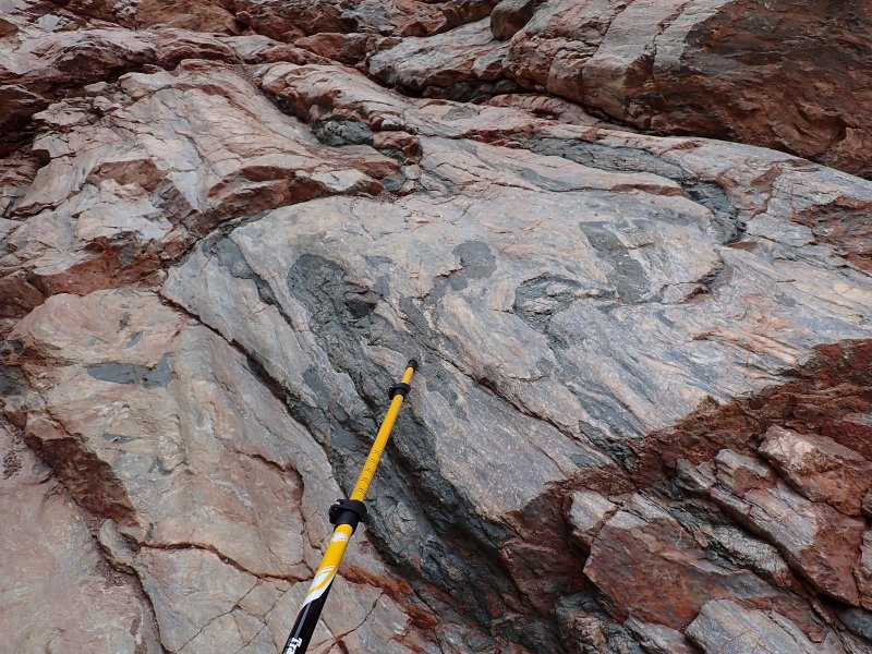
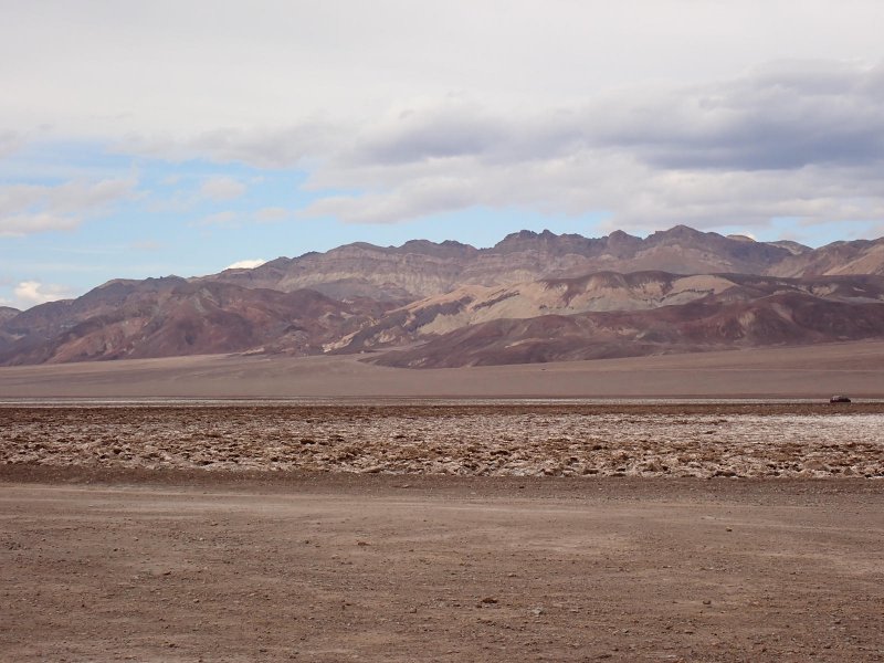
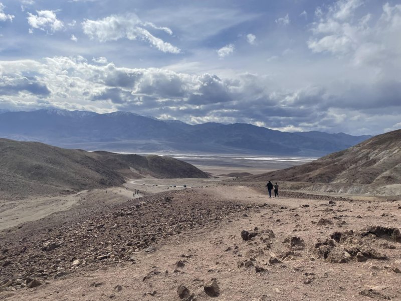
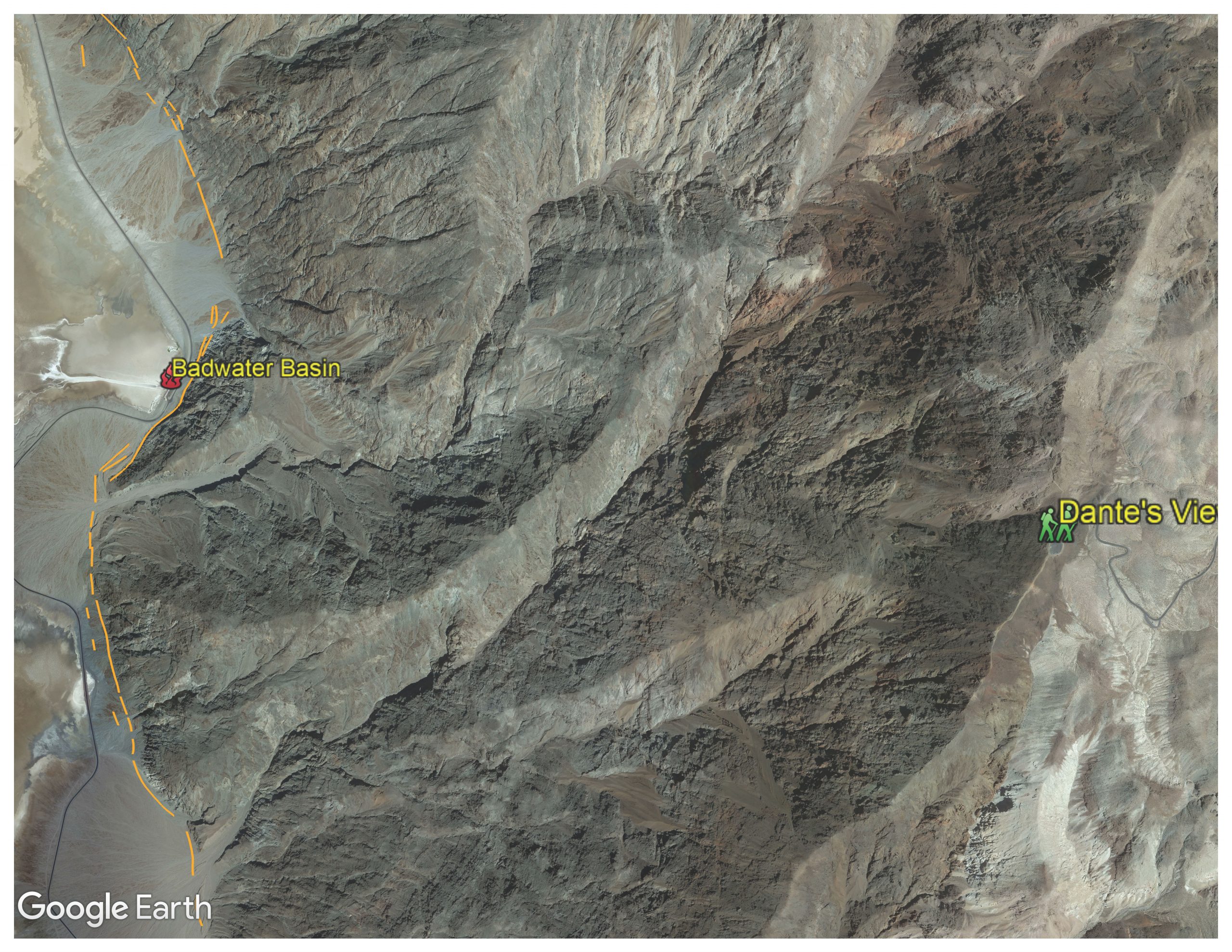
Dante’s view is at an elevation of 5,575 ft ASL on the east side of the park in the Black Mountains. It has a 360-deg view which is beyond spectacular. Death Valley is in the Basin and Range geologic province. This results in the mountain ranges being uplifted with steep mountain fronts on the west side that then slope somewhat more gently downward to the east. Directly west of Dante’s view a little more than 2.3 miles away is Badwater Basin at an elevation of 282 below sea level; an elevation difference of 5,857 feet. Not very far and a lot of tortured rock in-between.
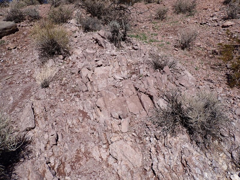
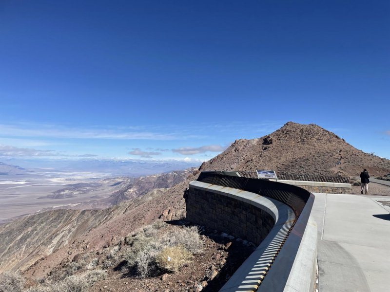
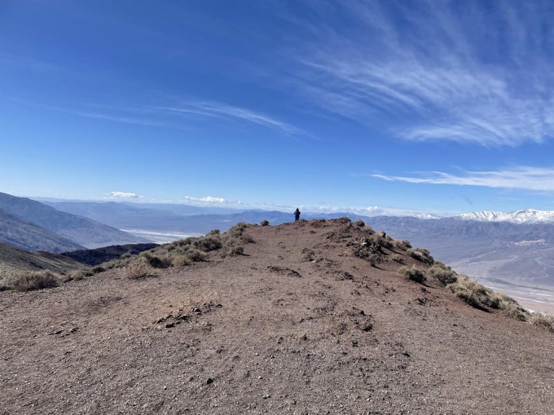
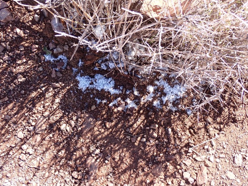
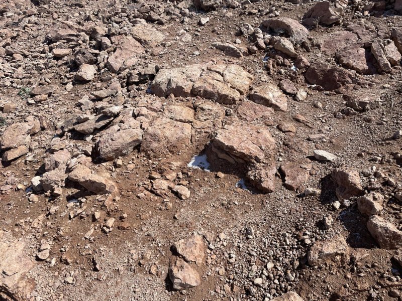
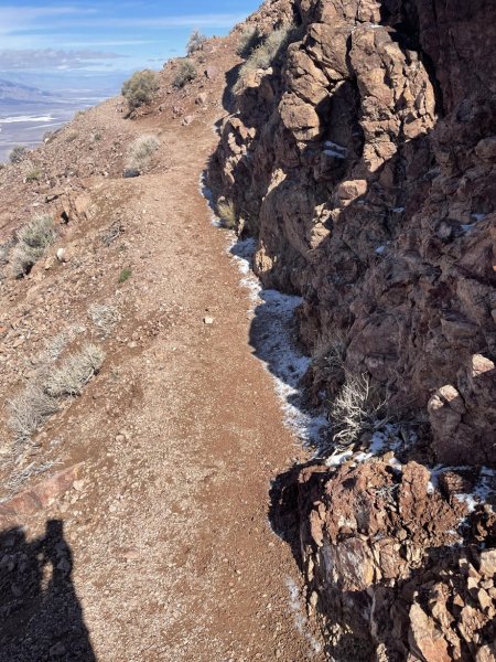
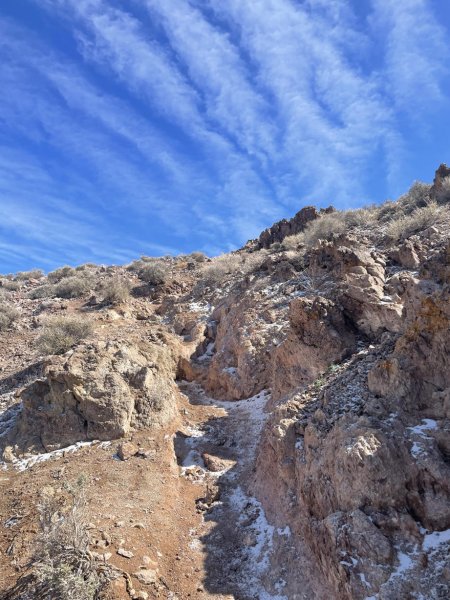
I bring this up because as we get older our balance sometimes fades (mine might be more faded than others). There is a trail on the north side of Dante’s View overlook that follows the side of the cliff up another 300+/- feet with a lot of vertical exposure on west side of the itty-bitty, granitic Grus trail that had a bit of snow on it. That bit of exposure pointed out to me a relationship between age, balance and bravado. As on goes up the other two go down …. maybe exponentially. Anyway, we made it up and made it down so there is that.
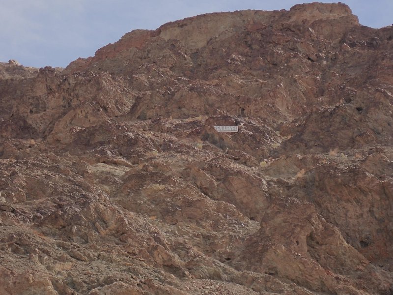
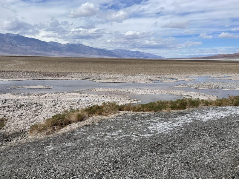
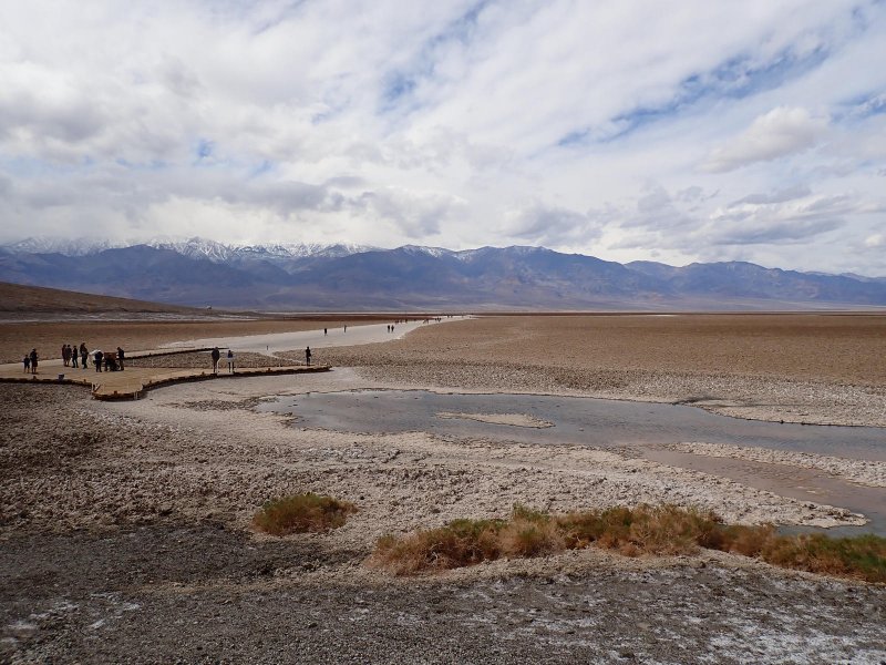
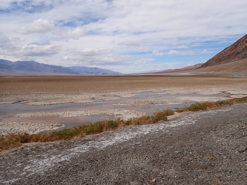
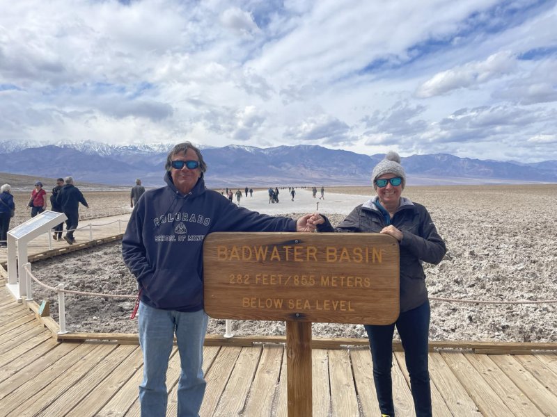
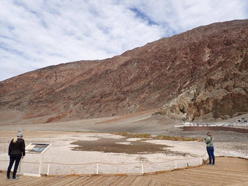
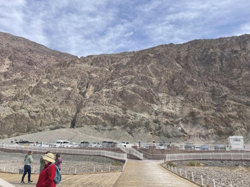
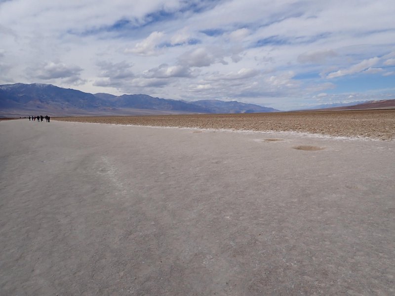
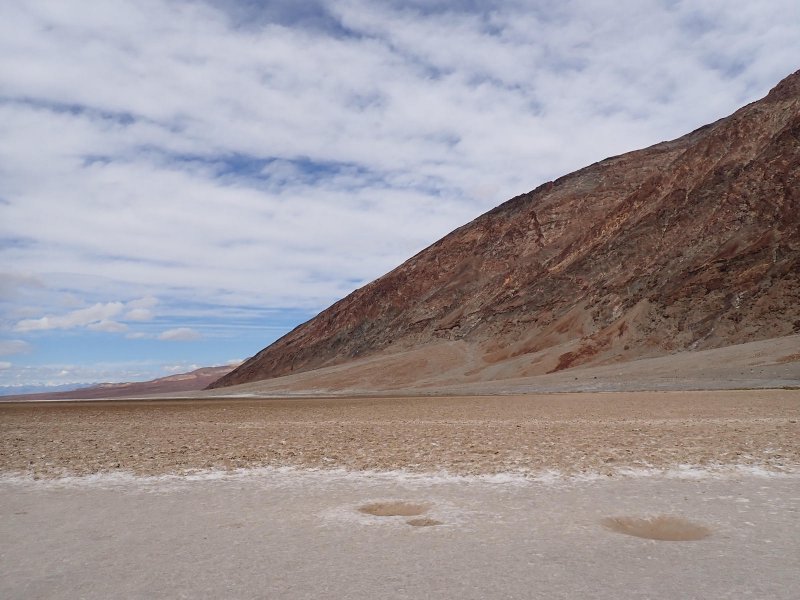
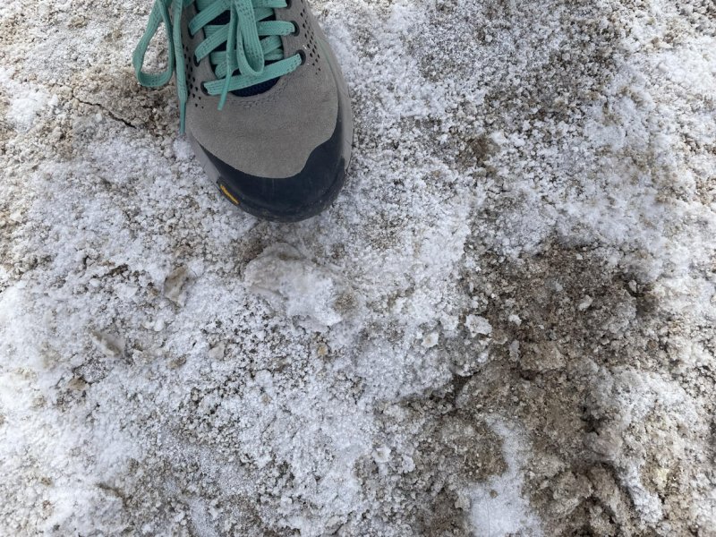
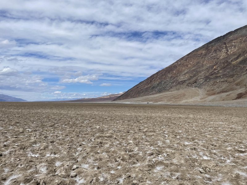
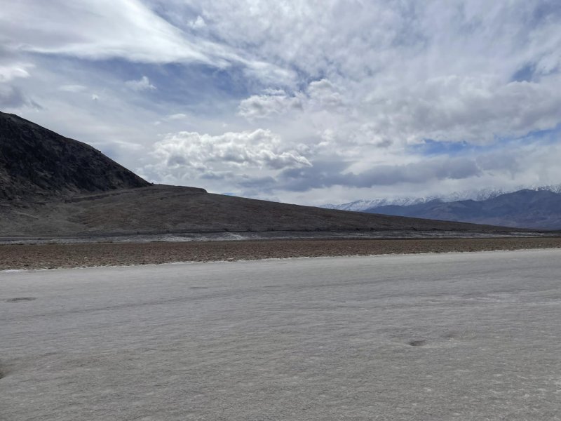
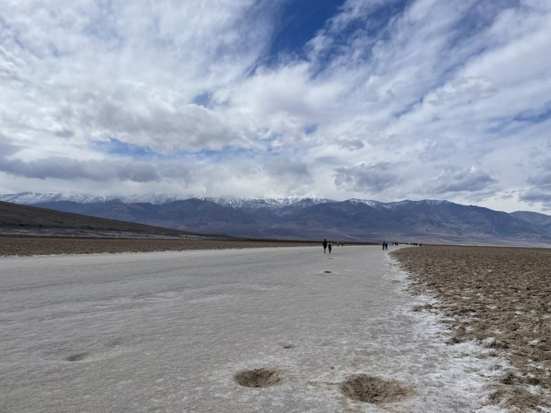
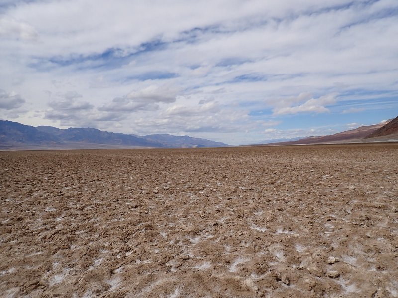
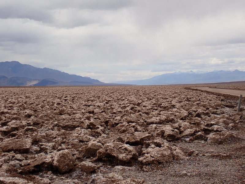
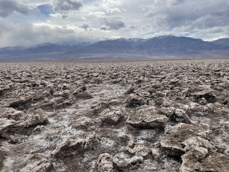
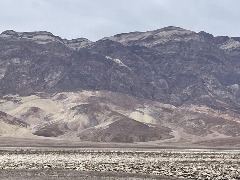
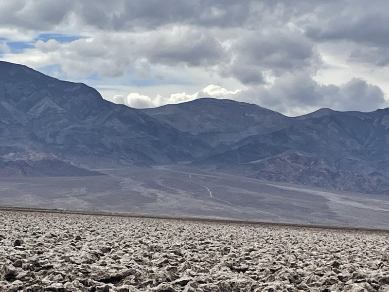
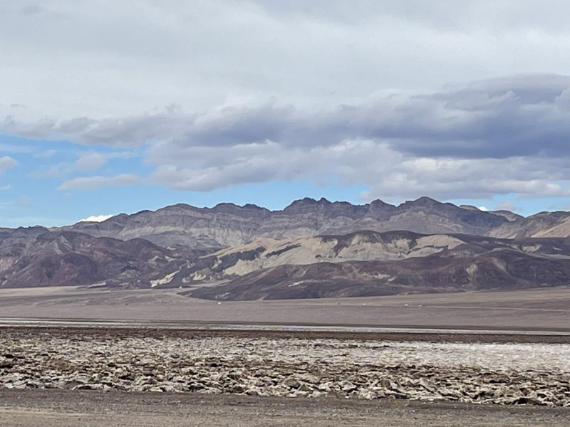
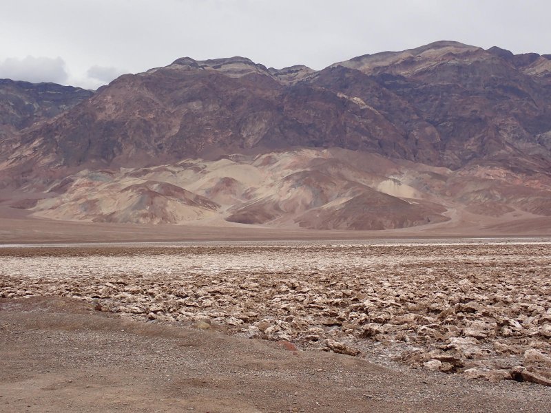
Second stop of the day after a bit of a drive was the Badwater Basin. There are few places to eat in Death Valley and the pricing is somewhat princely, so we had packed a cooler full of lunch goodies for the trip and we performed ice-maintenance each night to keep it all cool. Before exploring the salt pan, we had a bit of lunch. While sitting there with our geology road trip book and enjoying mixed salads, we looked up and someone had climbed up the cliff on the east side of the road and placed a sea level sign (somewhere in the photos below), before exploring the salt pan.
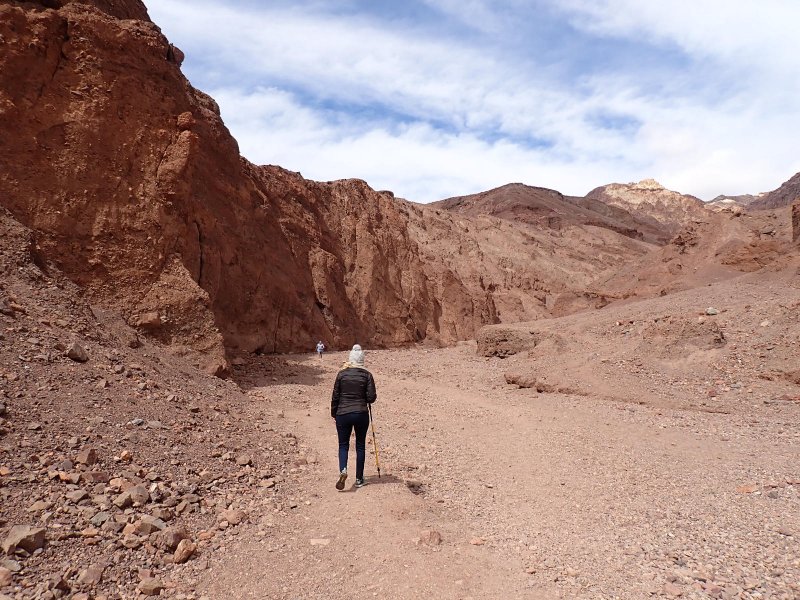
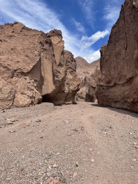
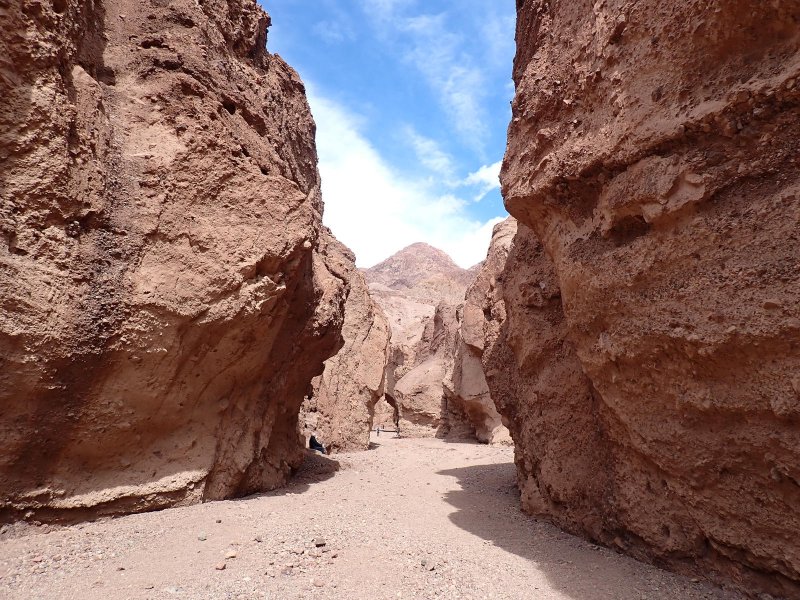
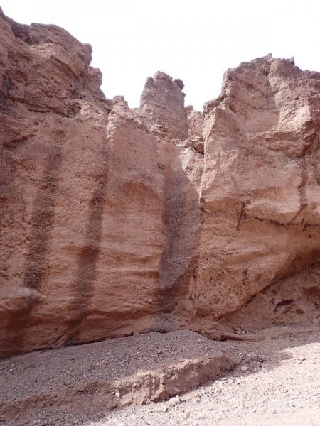
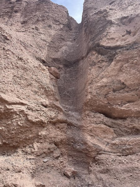
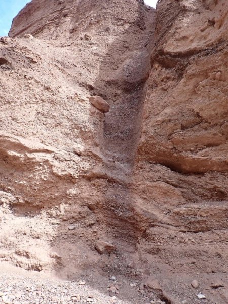
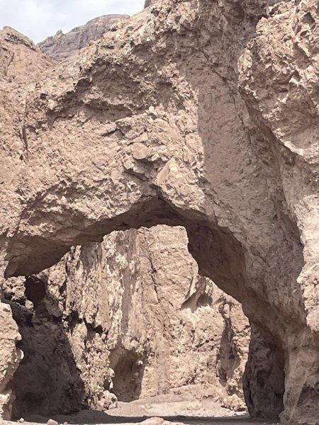
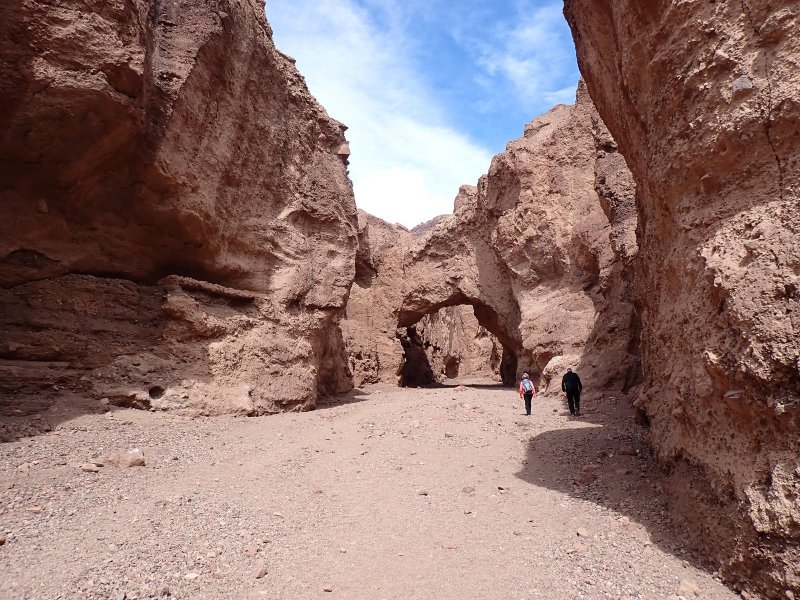
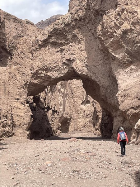
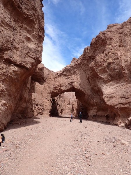
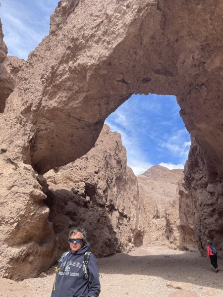
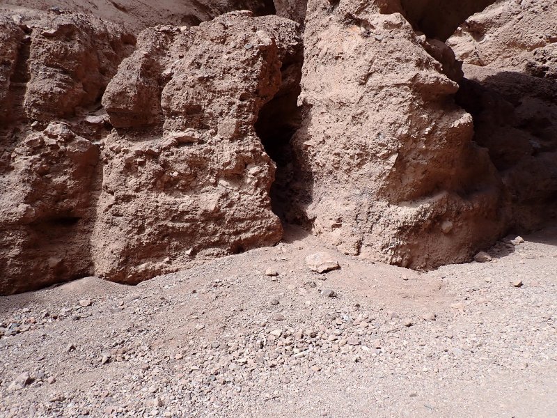
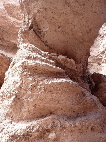
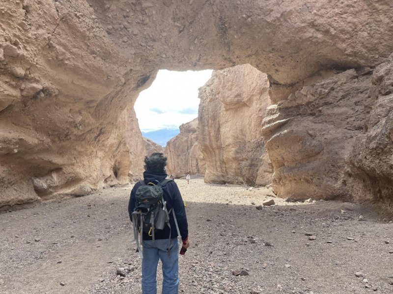
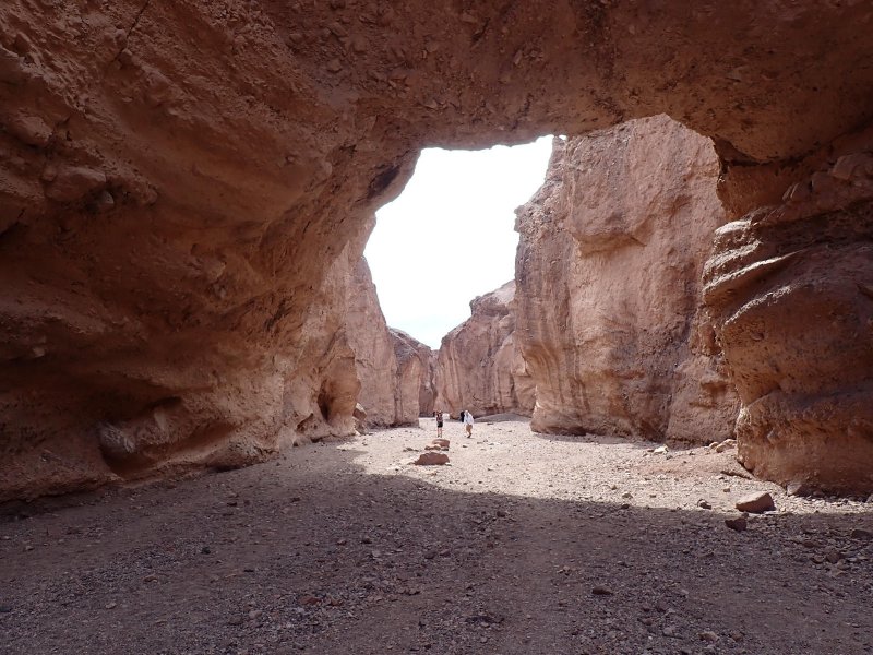
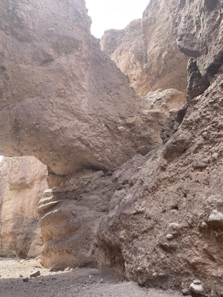
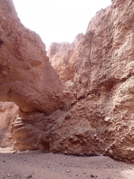
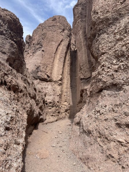
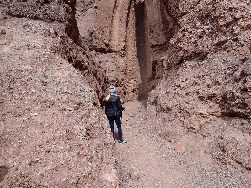
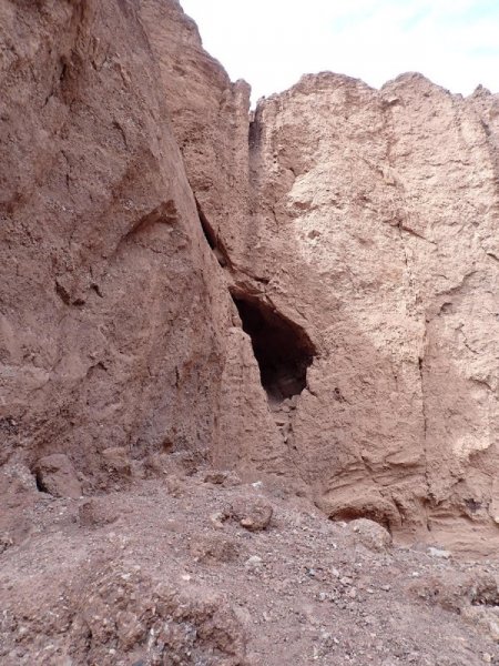
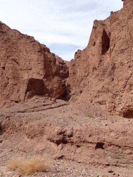
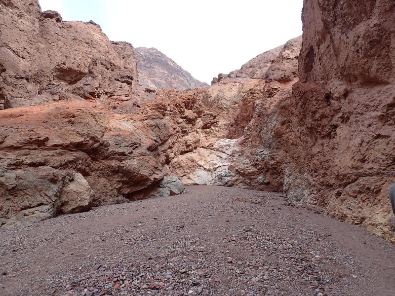
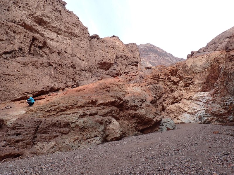
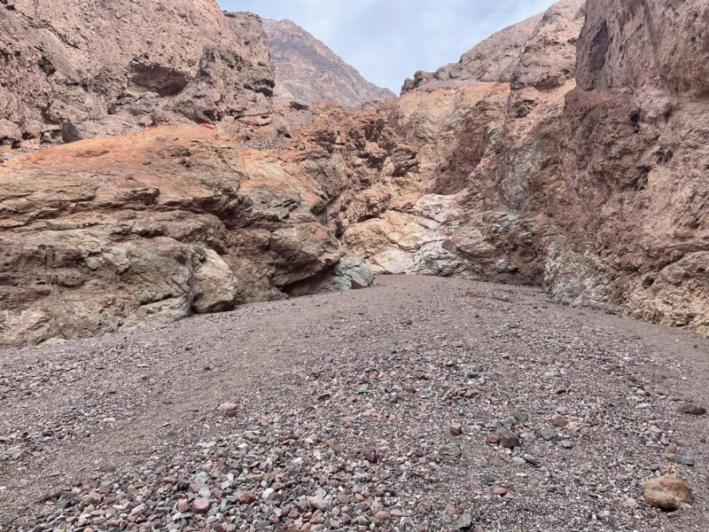
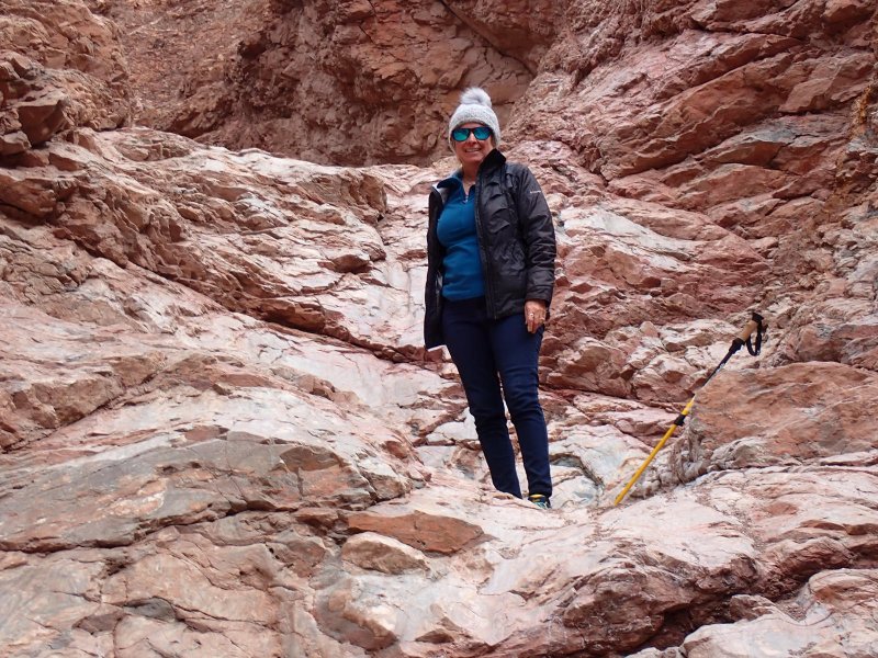
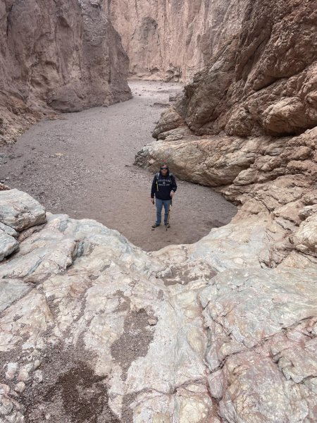
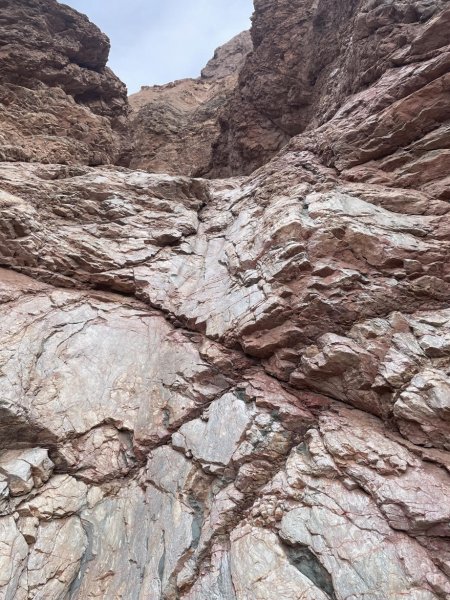
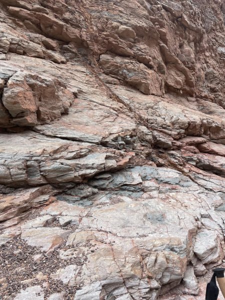
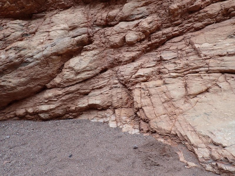
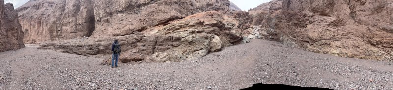
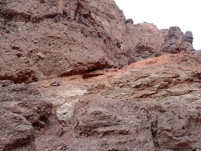
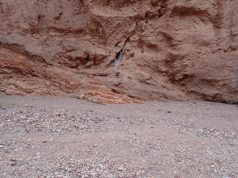
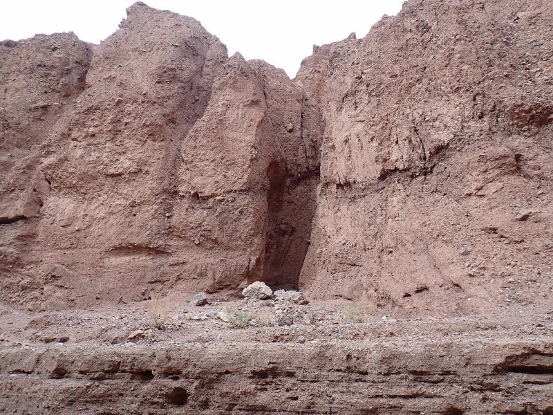
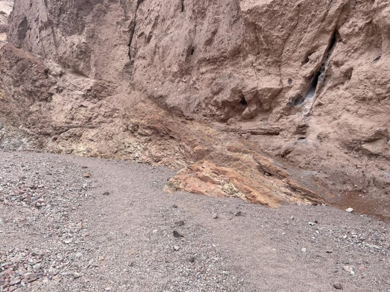
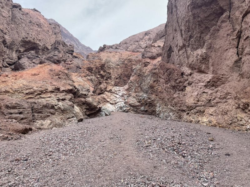
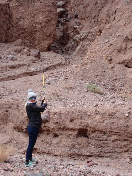
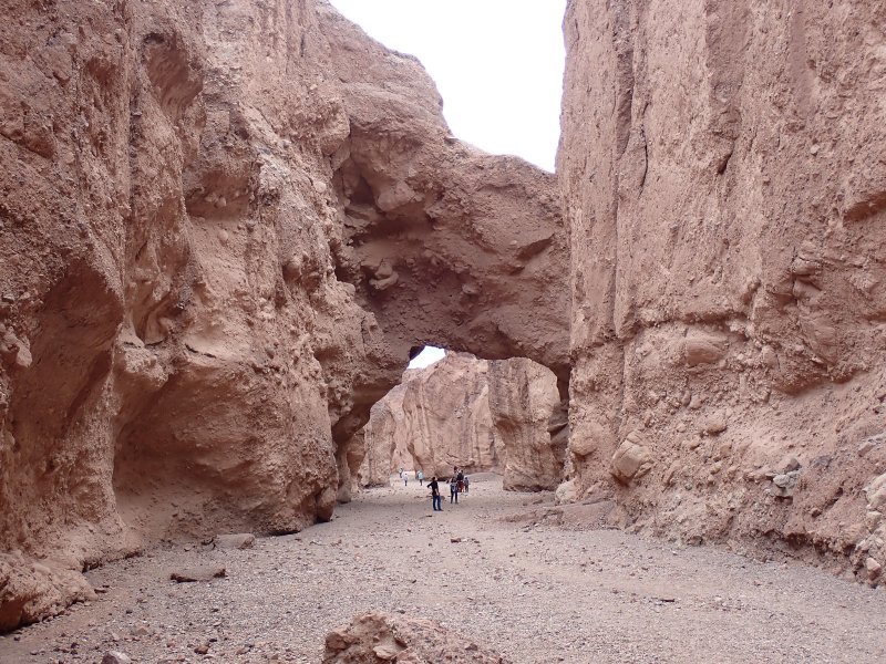
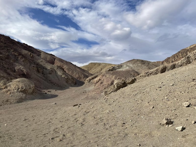
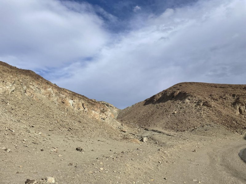
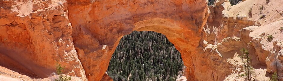
Next stop was Natural Bridge trail, a short 1.4 mile round trip hike including a 35-foot-tall natural bridge in the alluvial valley deposits that was entirely eroded out by running water in the canyon. In some of the pictures, you can see that on the north side (left going in, right coming out) of the bridge there is a channel cut where the water would flow around dam that blocked the flow, was eventually eroded out and then became a photo-op as a natrual bridge.
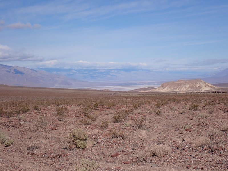
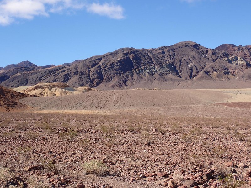
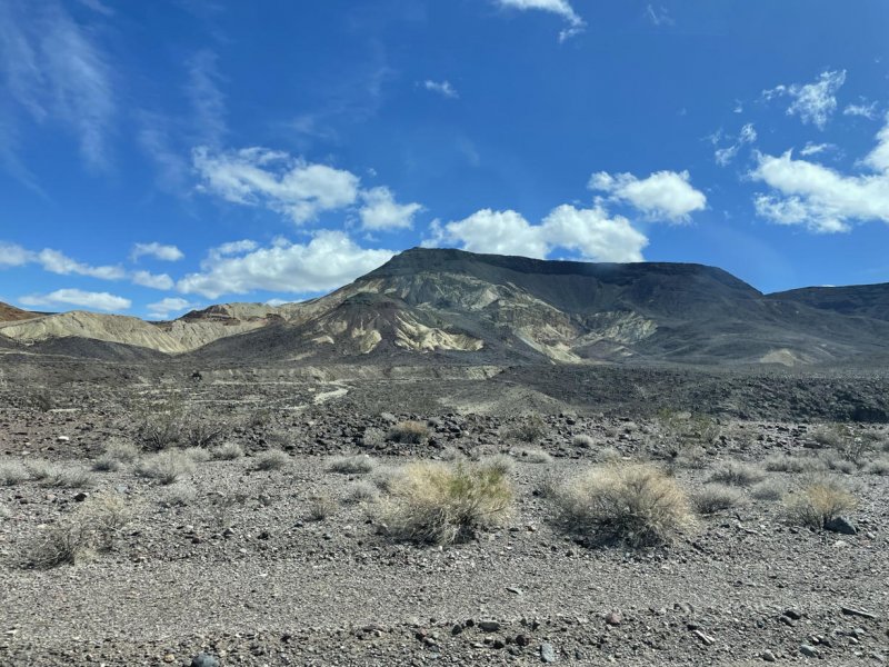
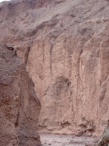
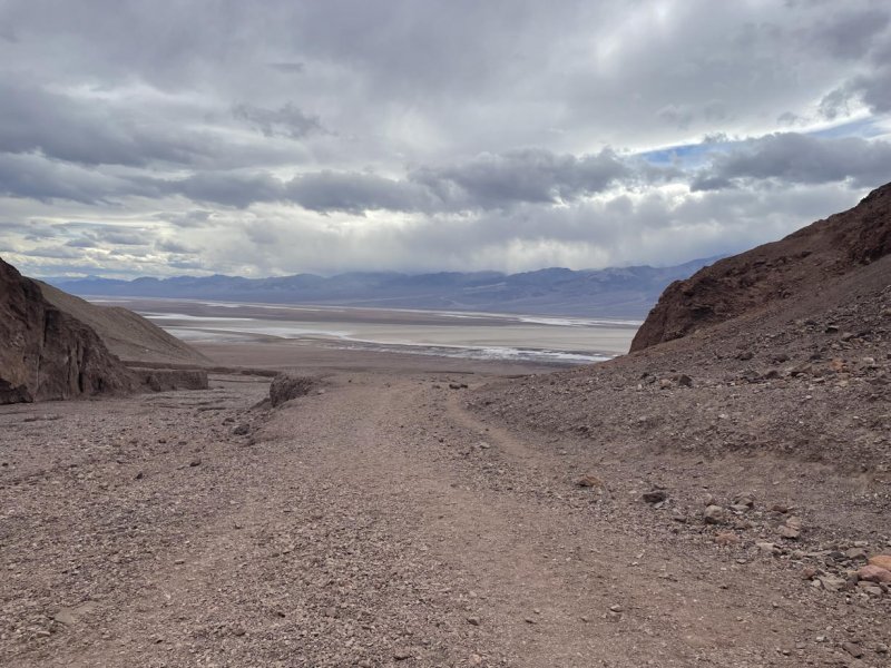
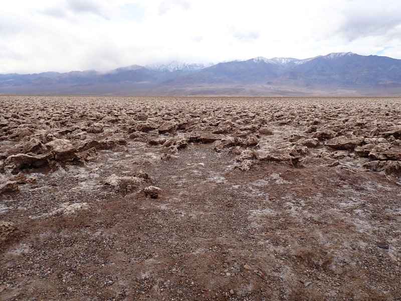
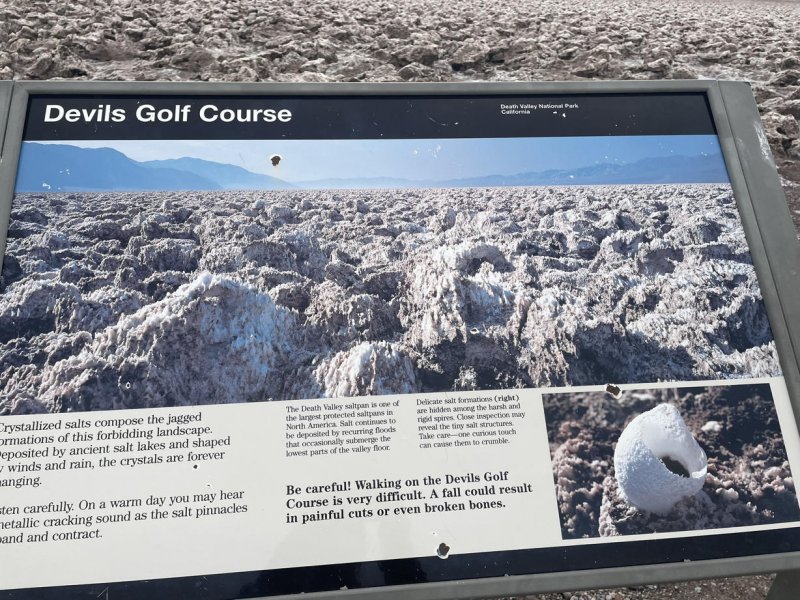
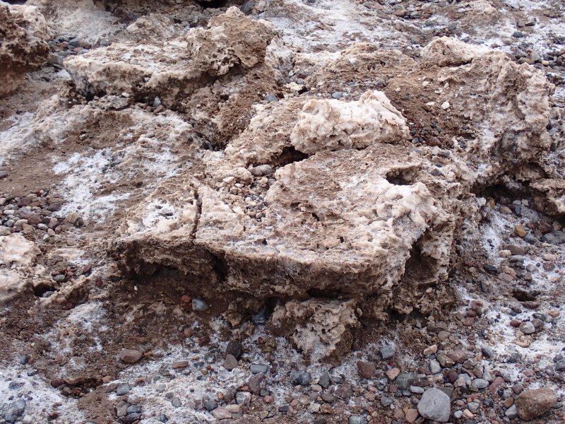
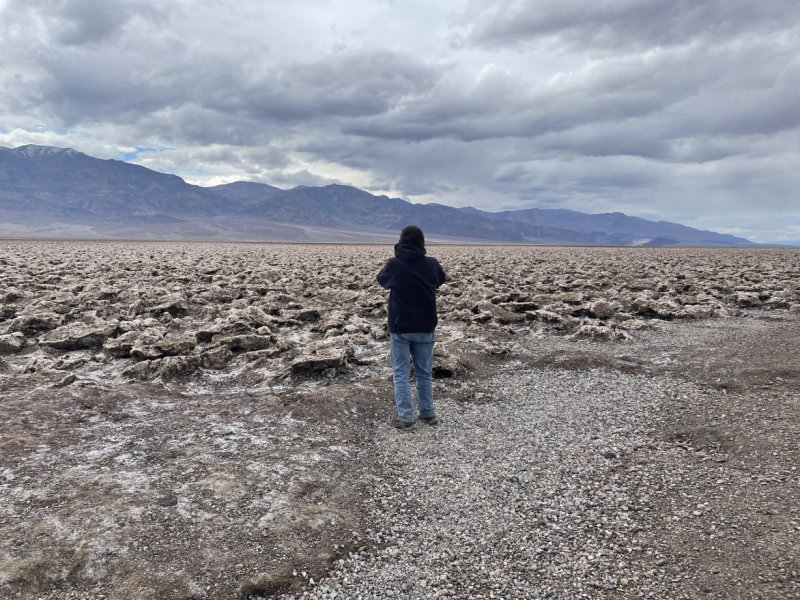
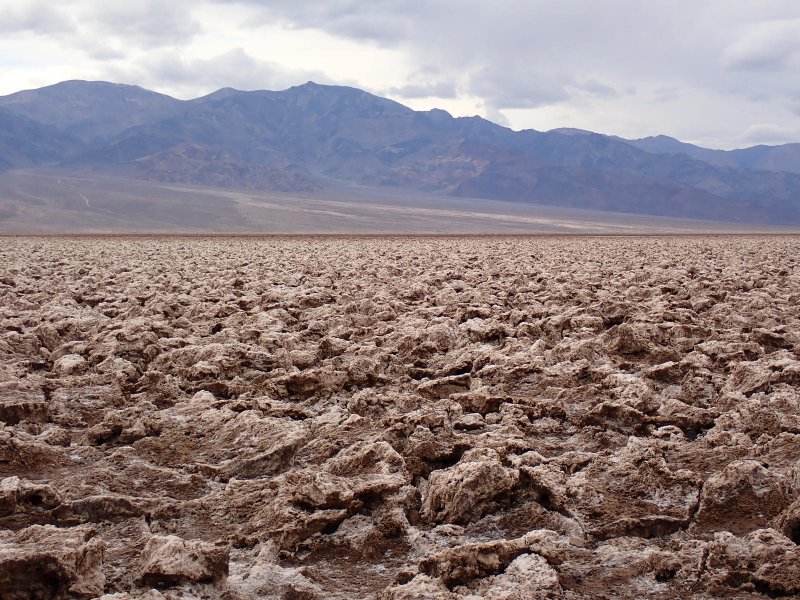
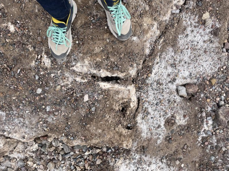
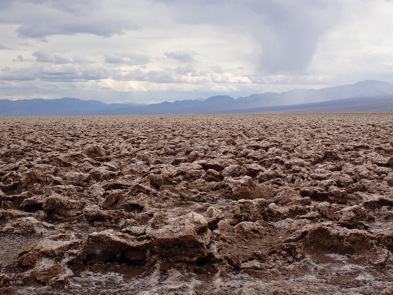
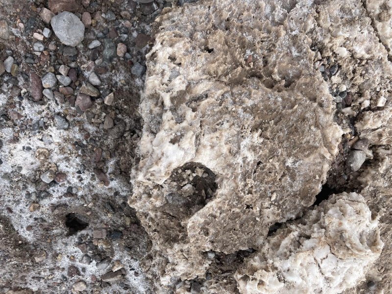
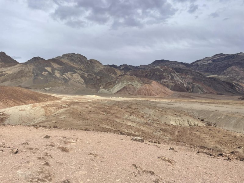
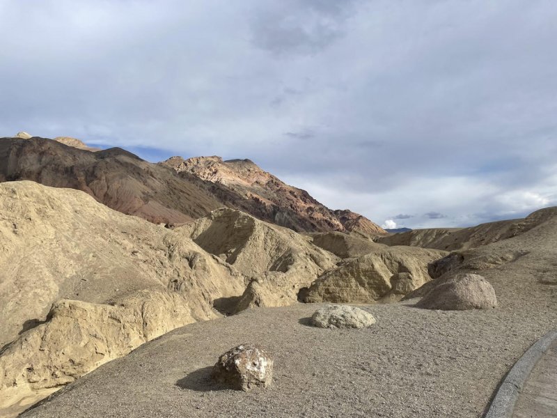
After leaving Natural Bridge trailhead, we continued north and then detoured west back out onto the salt pan to see the Devil’s Golf Course. This area has been shaped by wind and water into a huge area of sharp pieces of broken and jagged salt pan. No hiking on that!
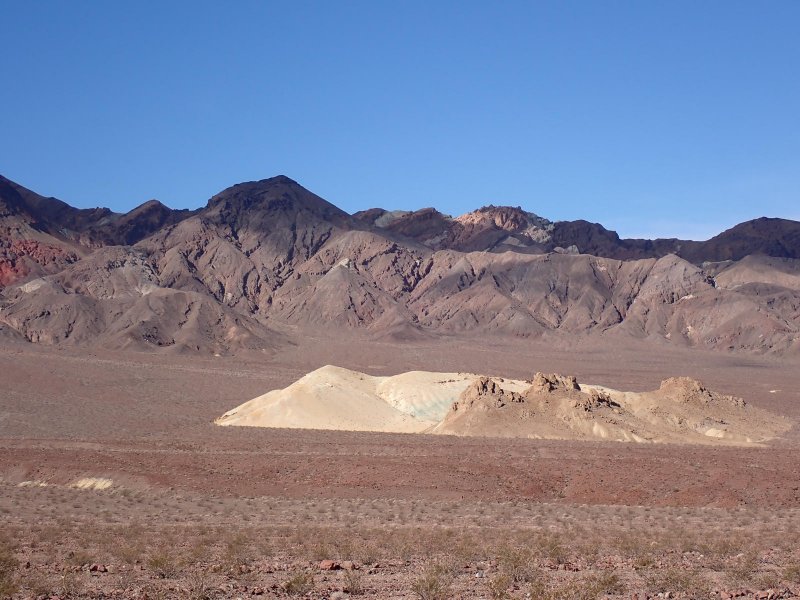
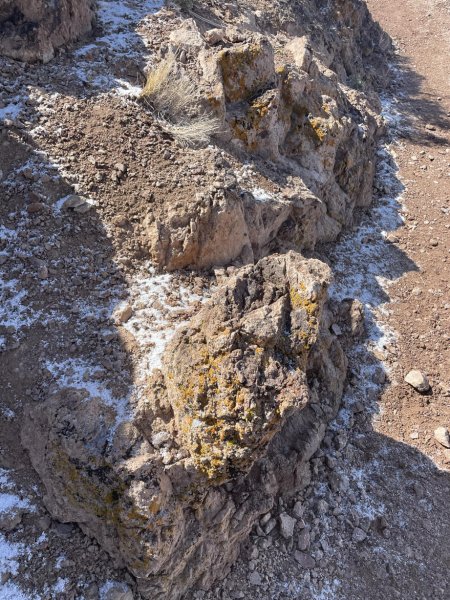
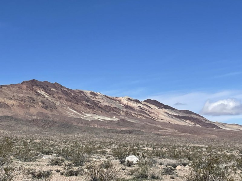
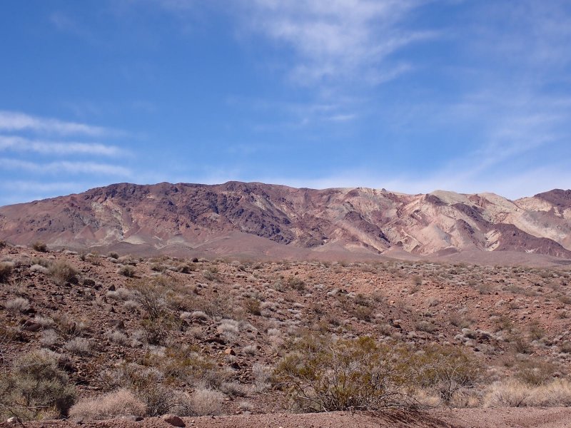
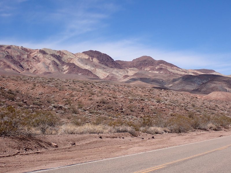
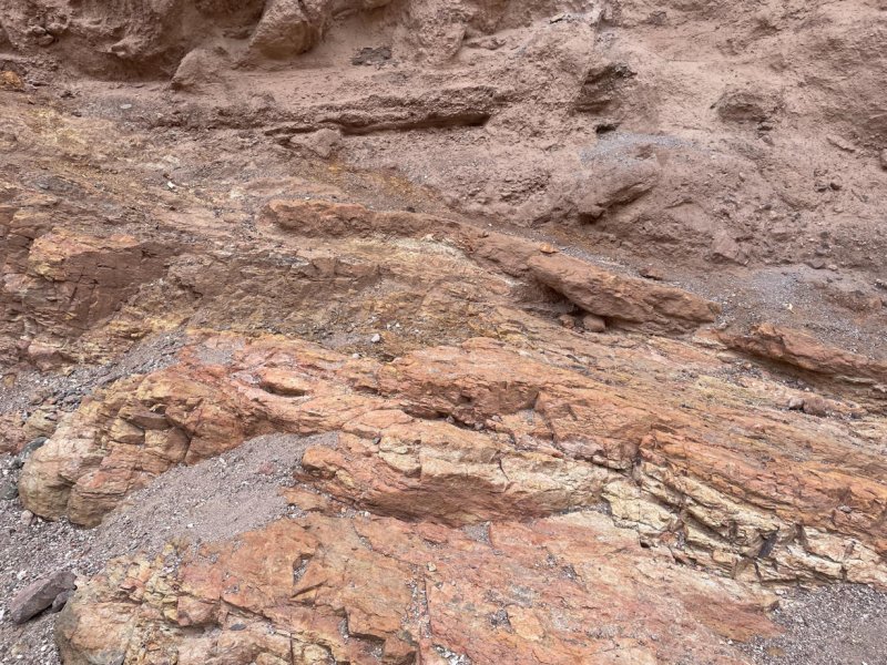
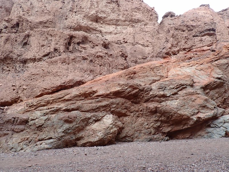
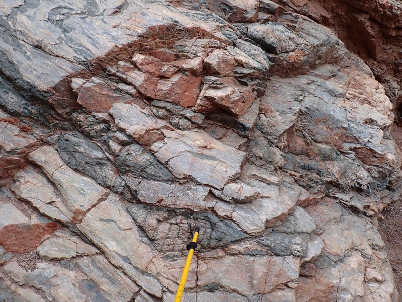
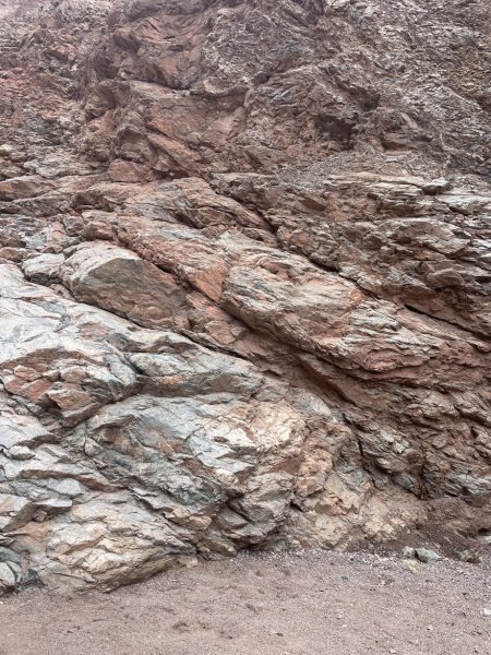
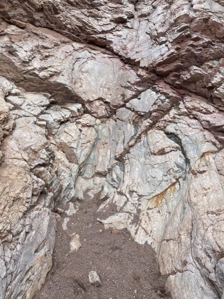
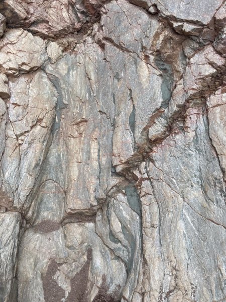
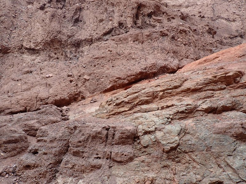
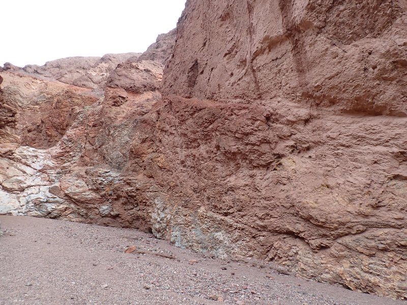
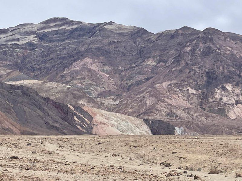
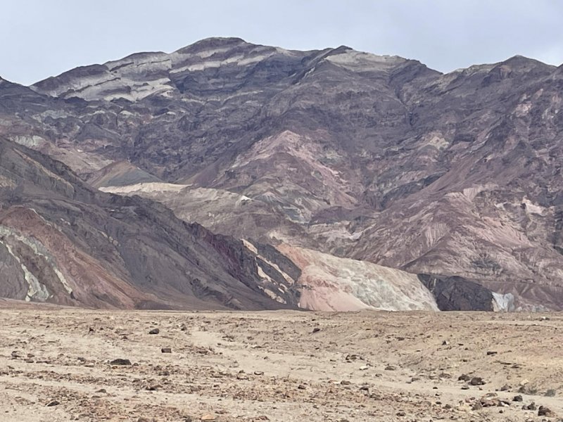
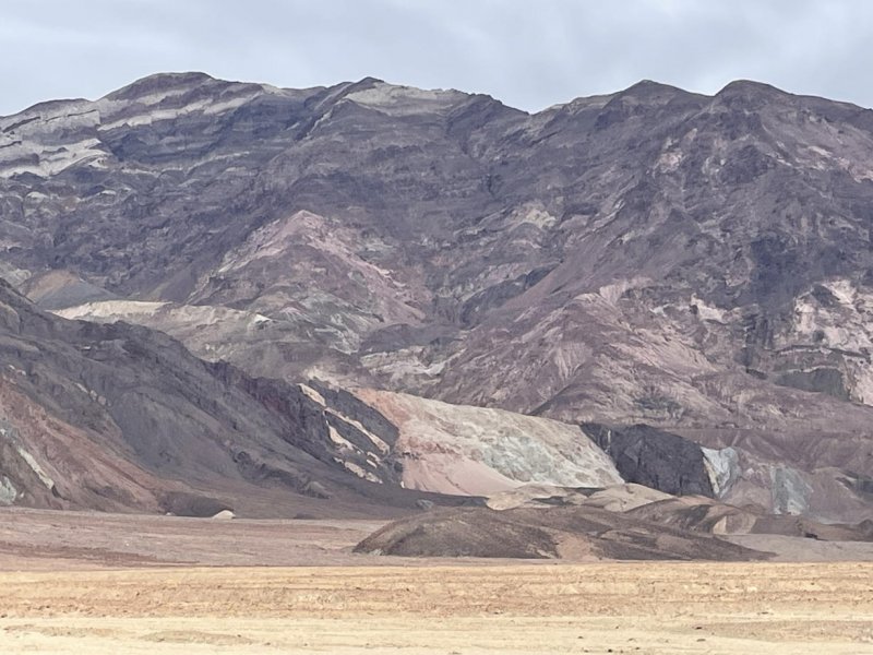
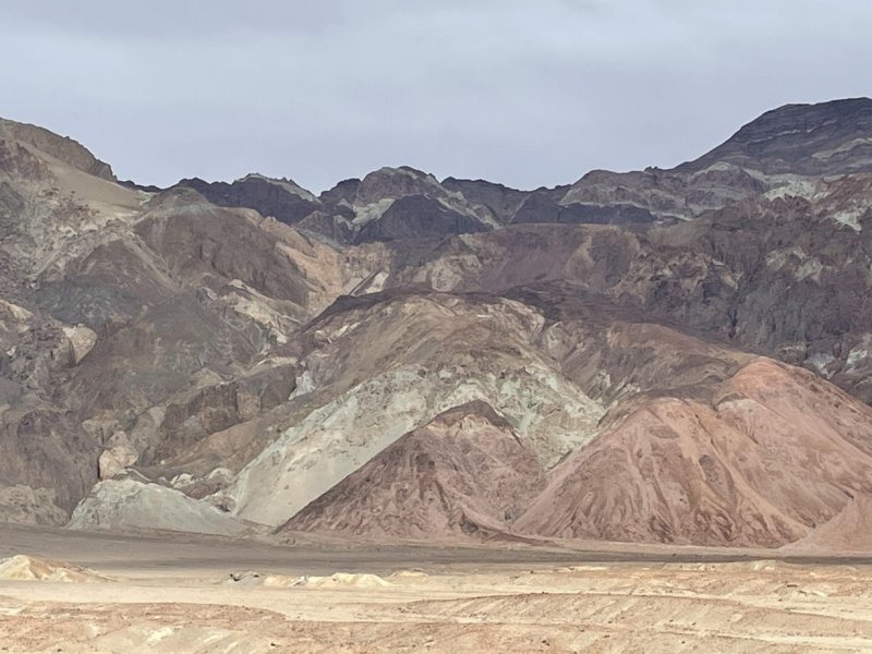
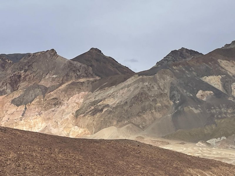
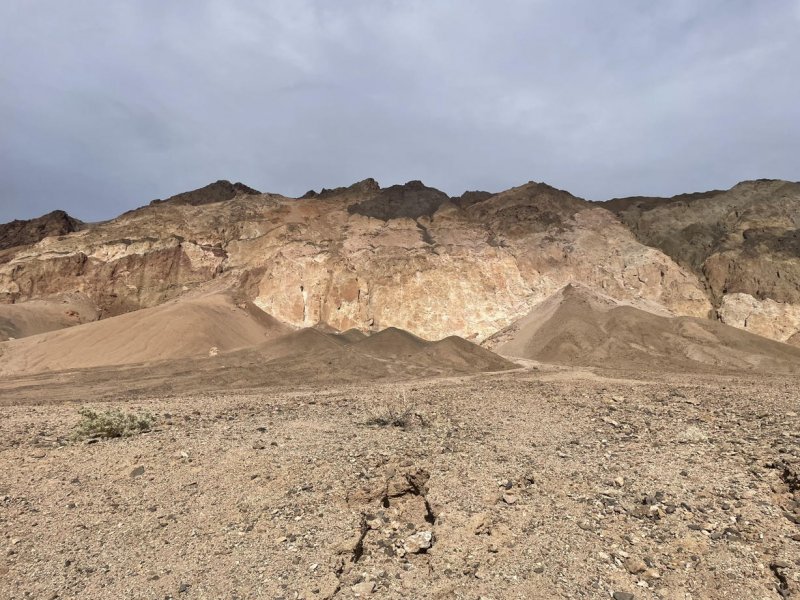
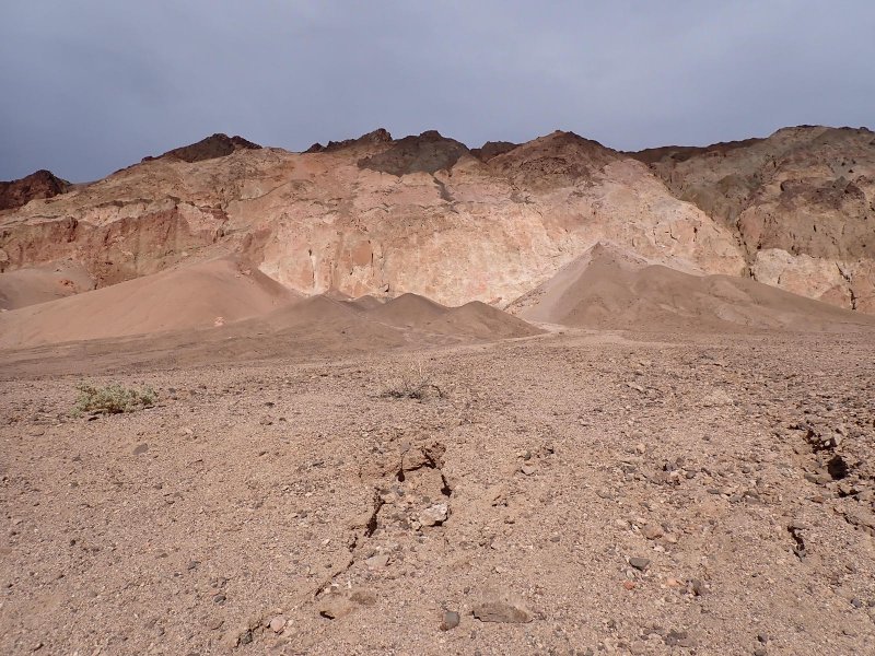
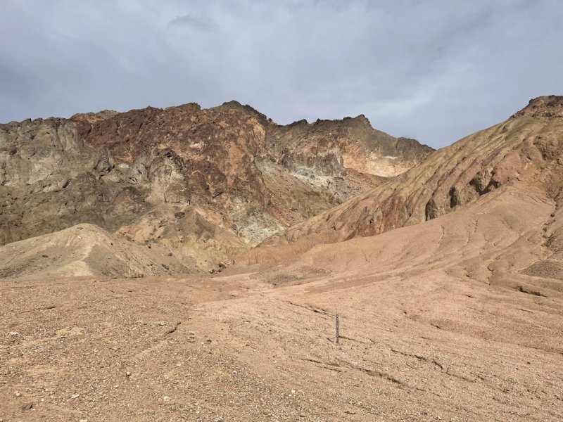
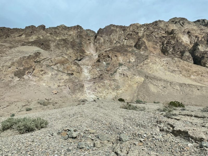
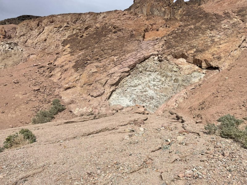
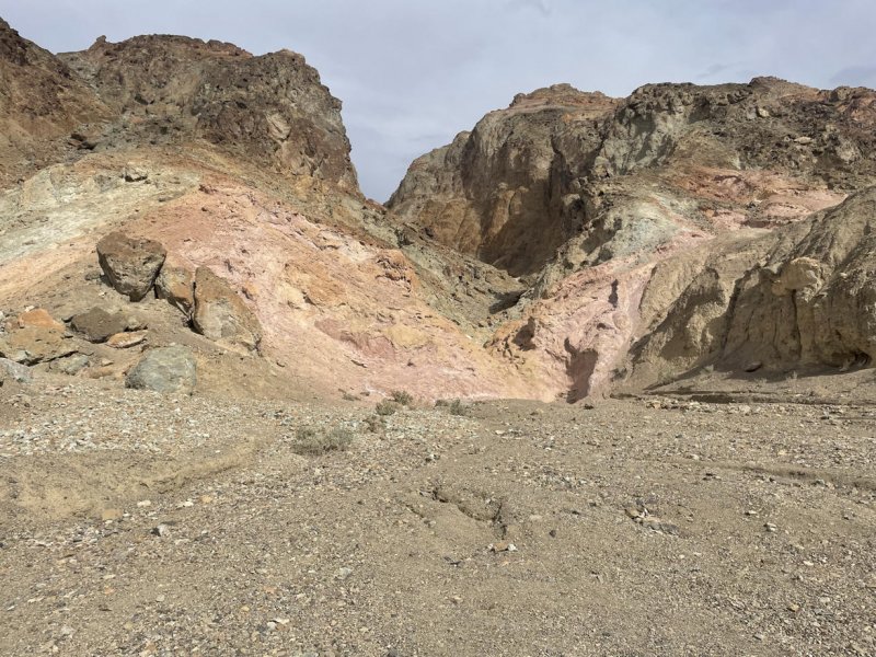
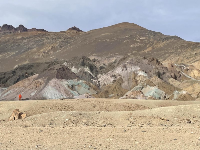
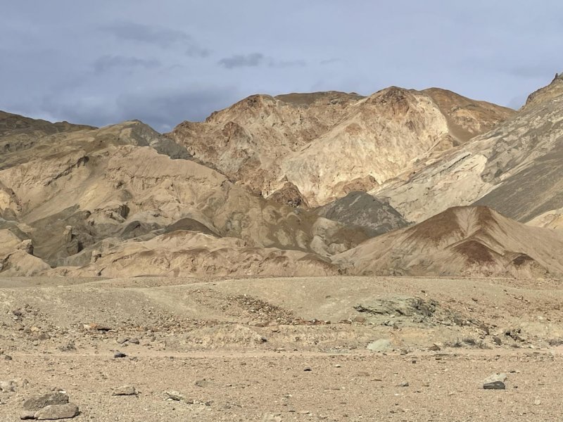
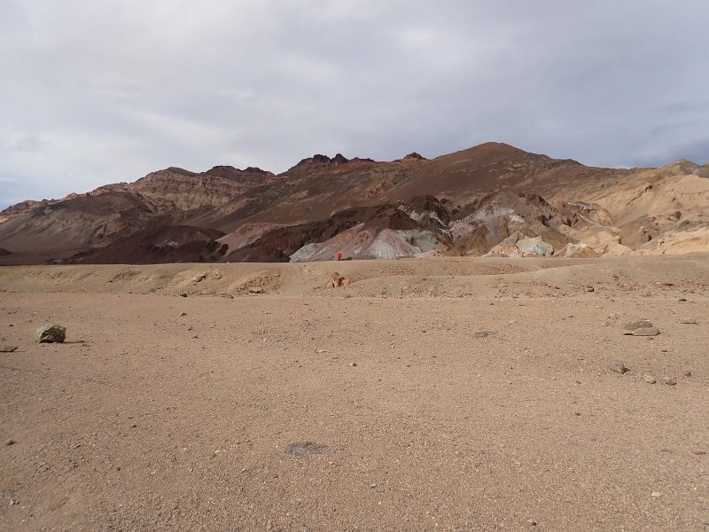
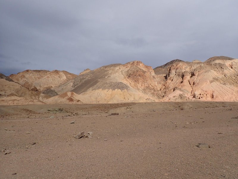
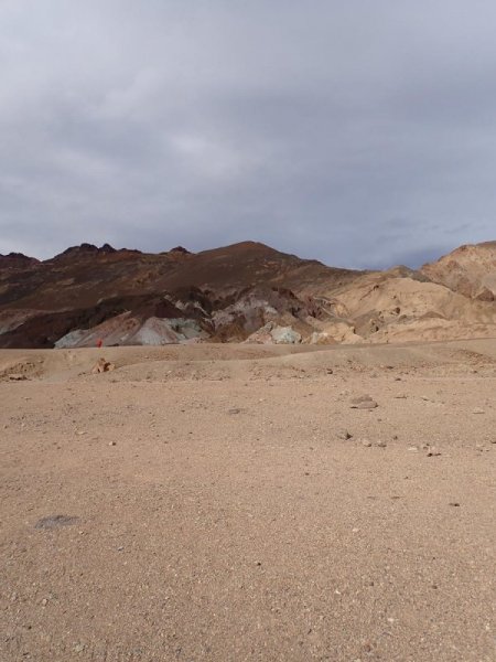
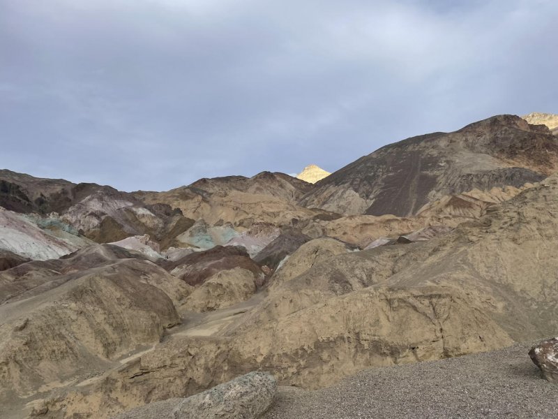
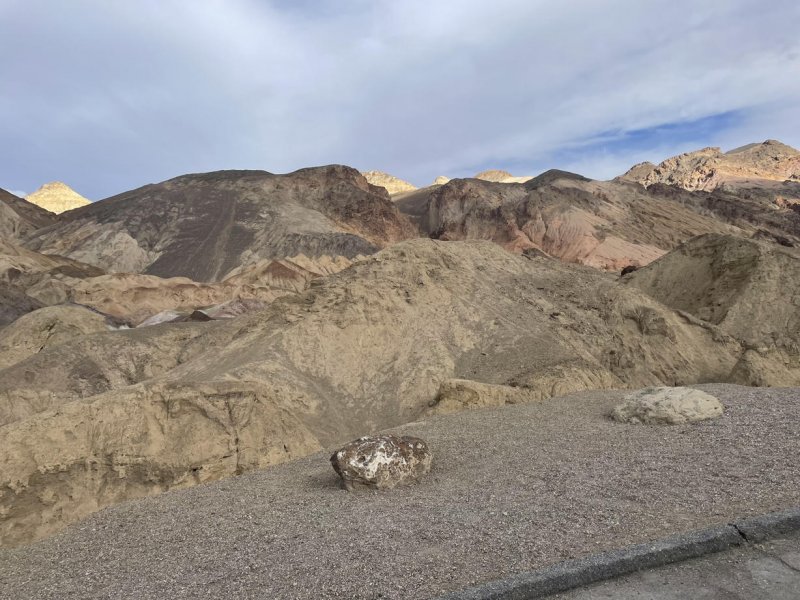
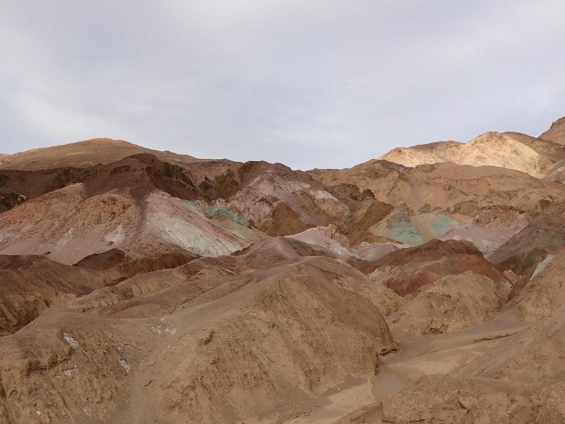
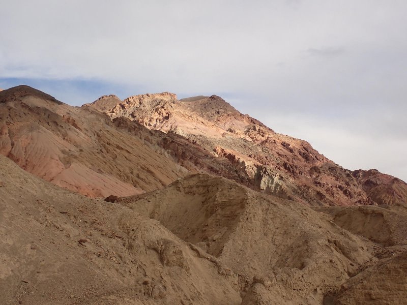
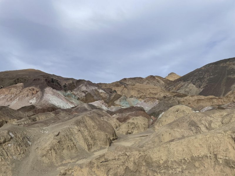
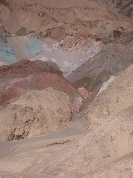
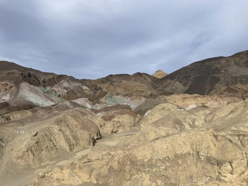
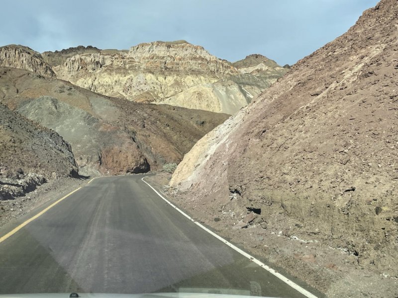
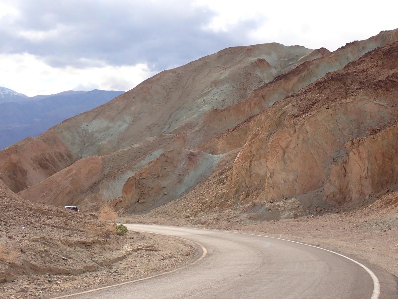
Final stop for the day was a drive along the one-way road, Artists Drive, which is predominately in an area of young, multi-colored volcanic rocks (appropriately called the Artists Drive formation) along the east side of the valley. Very windy but very scenic. Made a stop at an overlook called Artists Palette which was pretty spectacular from the standpoint of colored rock outcrops. The green colors are from a mixture of iron and chlorite in the rock, not copper. Sort of an end of the day stop so we broke out some adult beverages and just sat and admired the view.