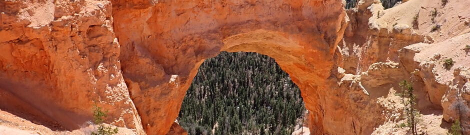
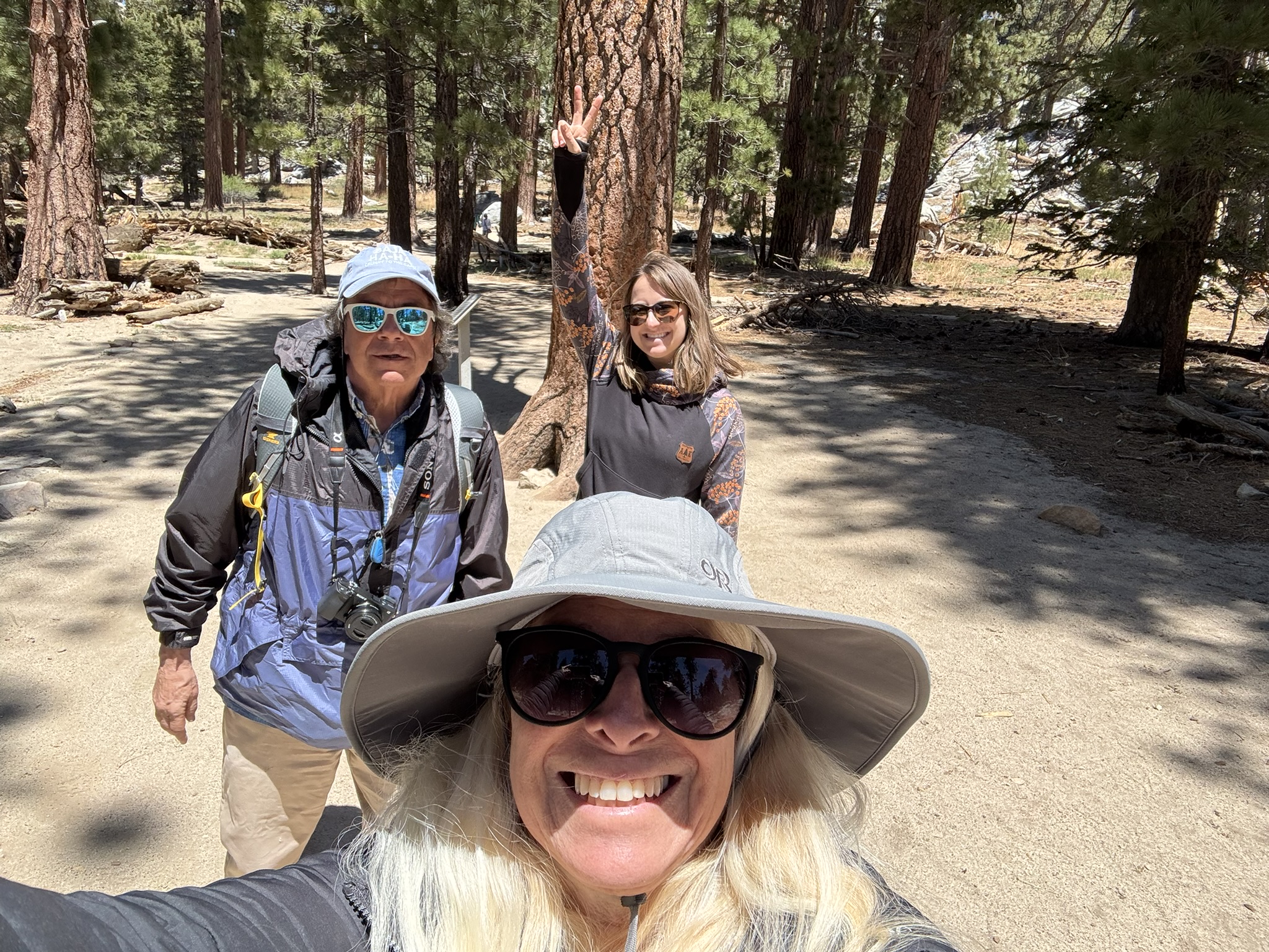
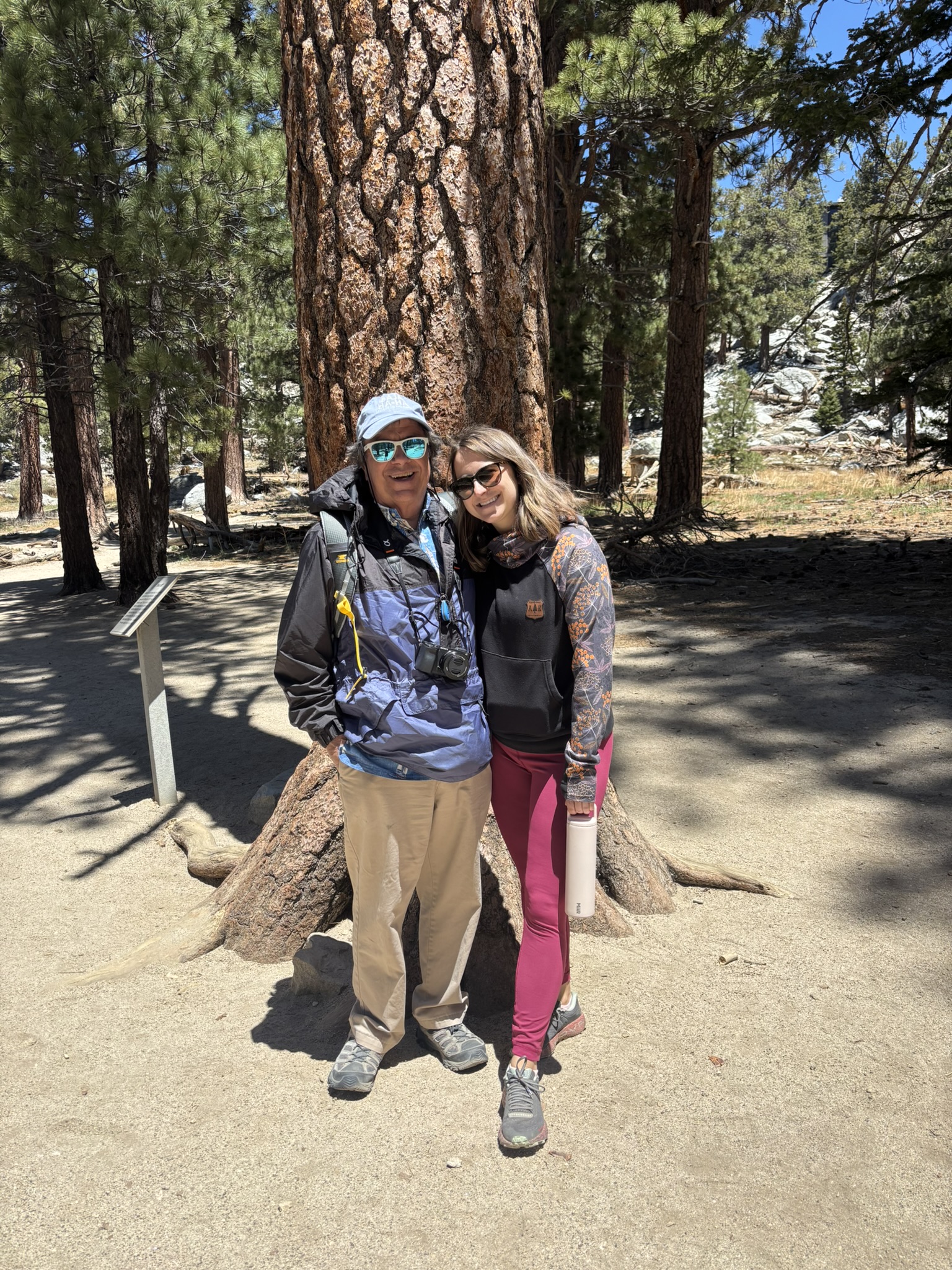
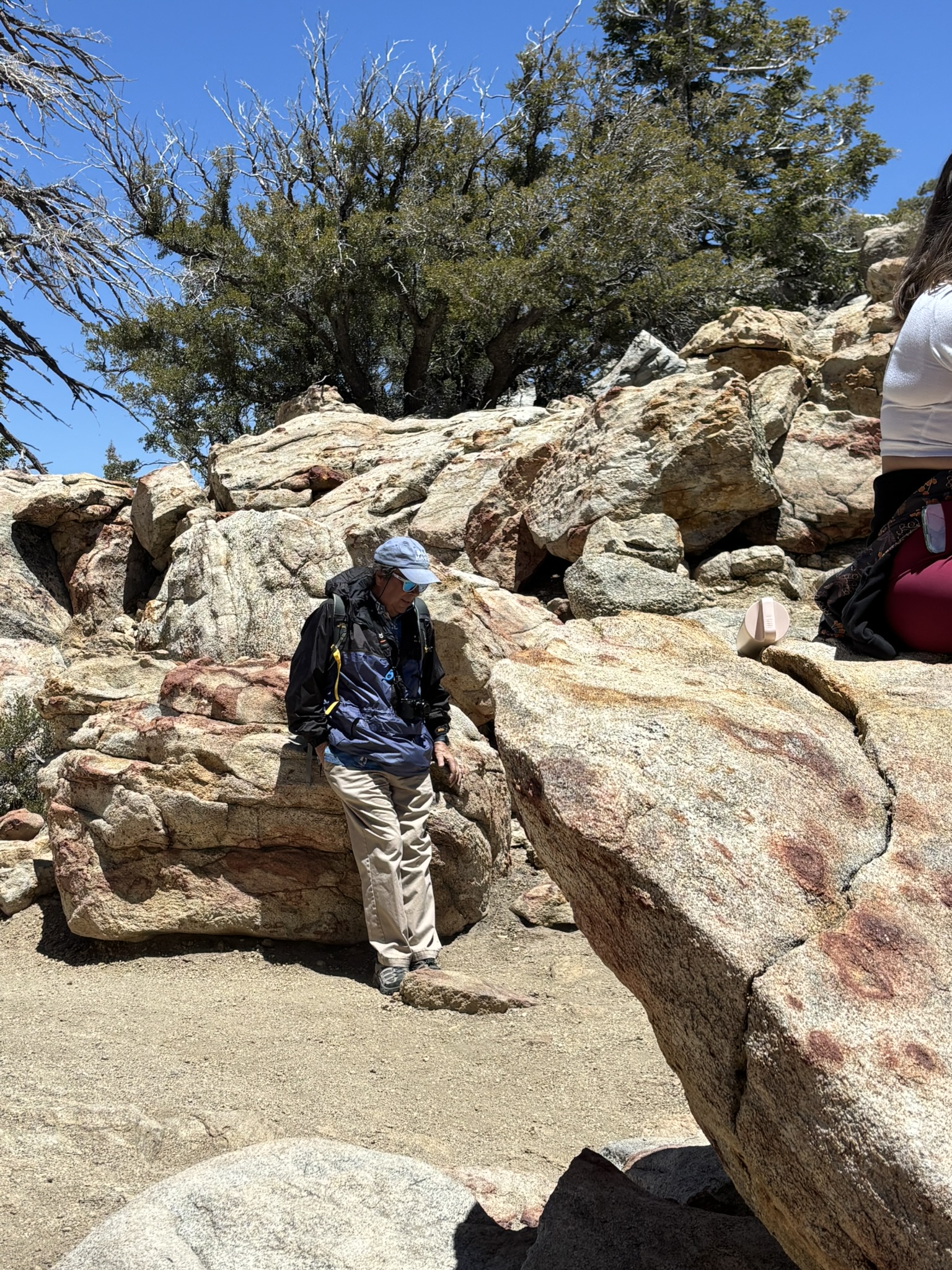
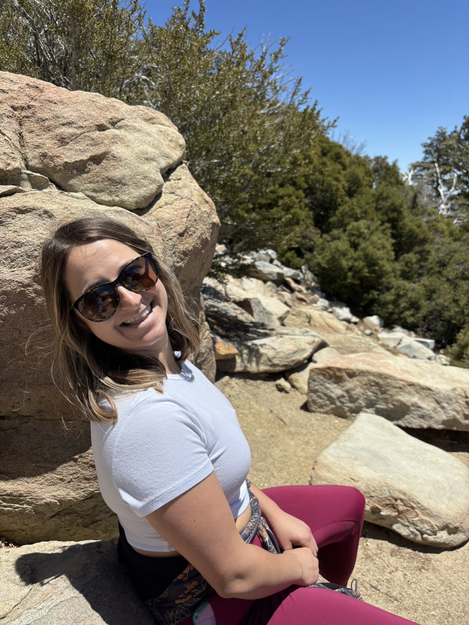
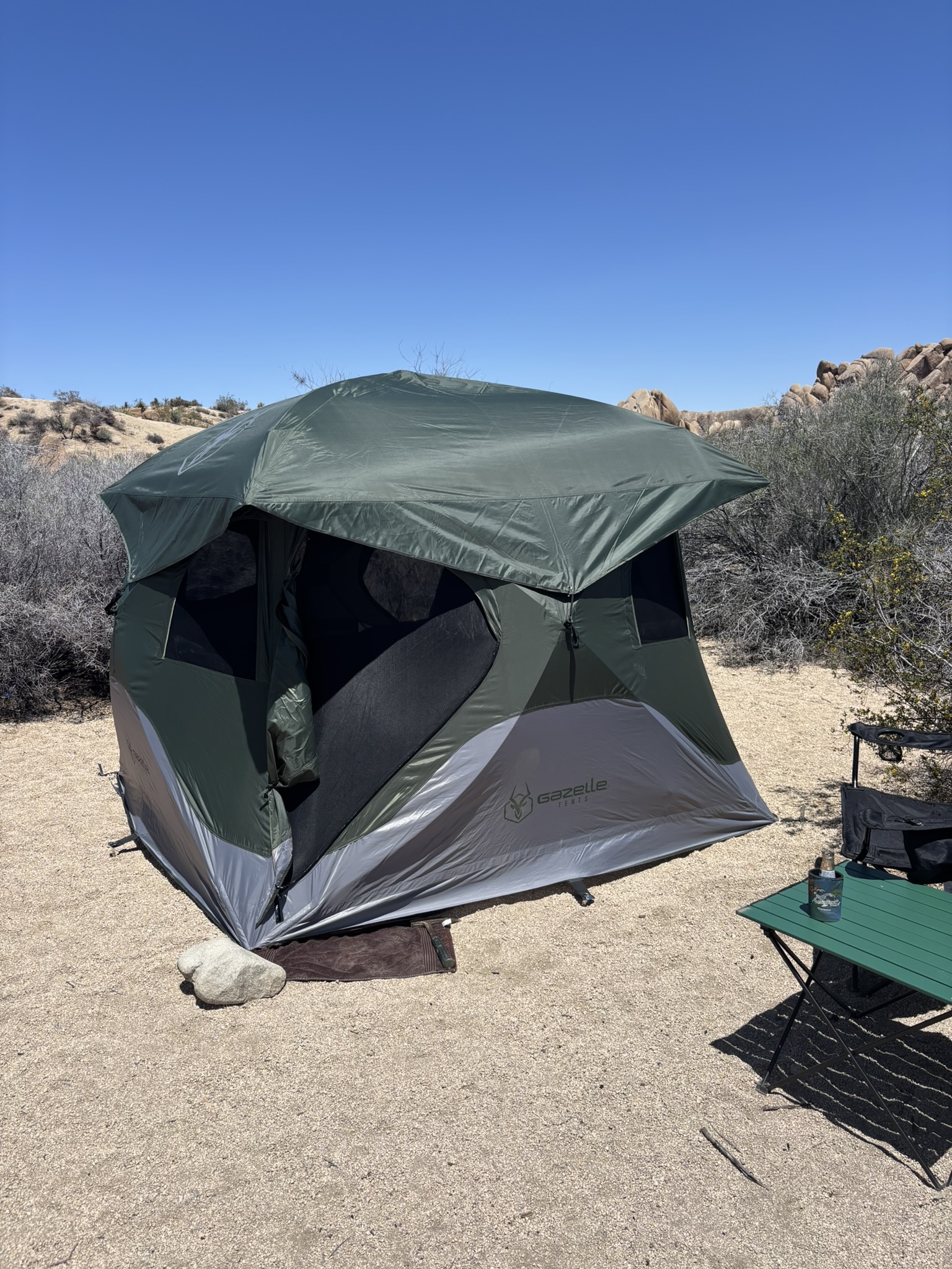
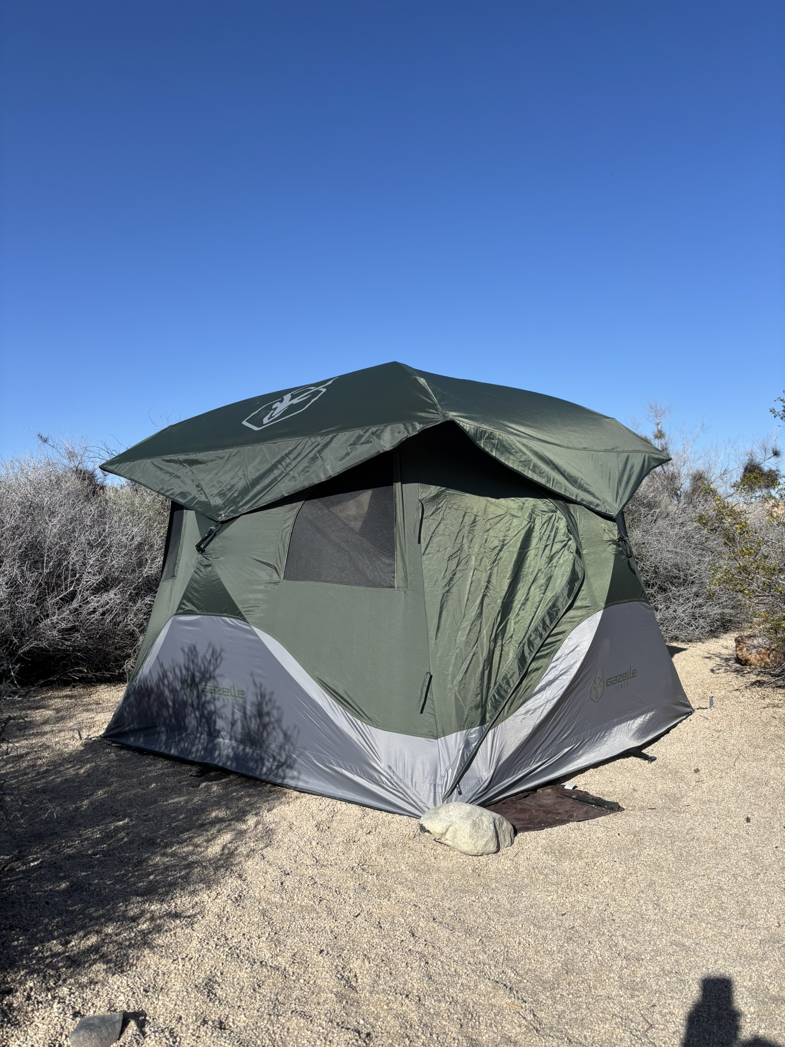
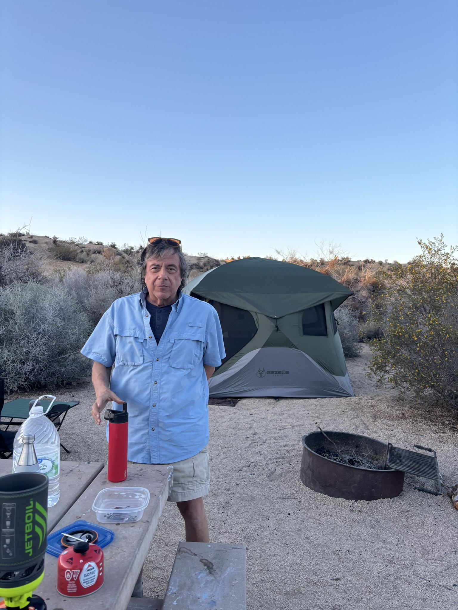
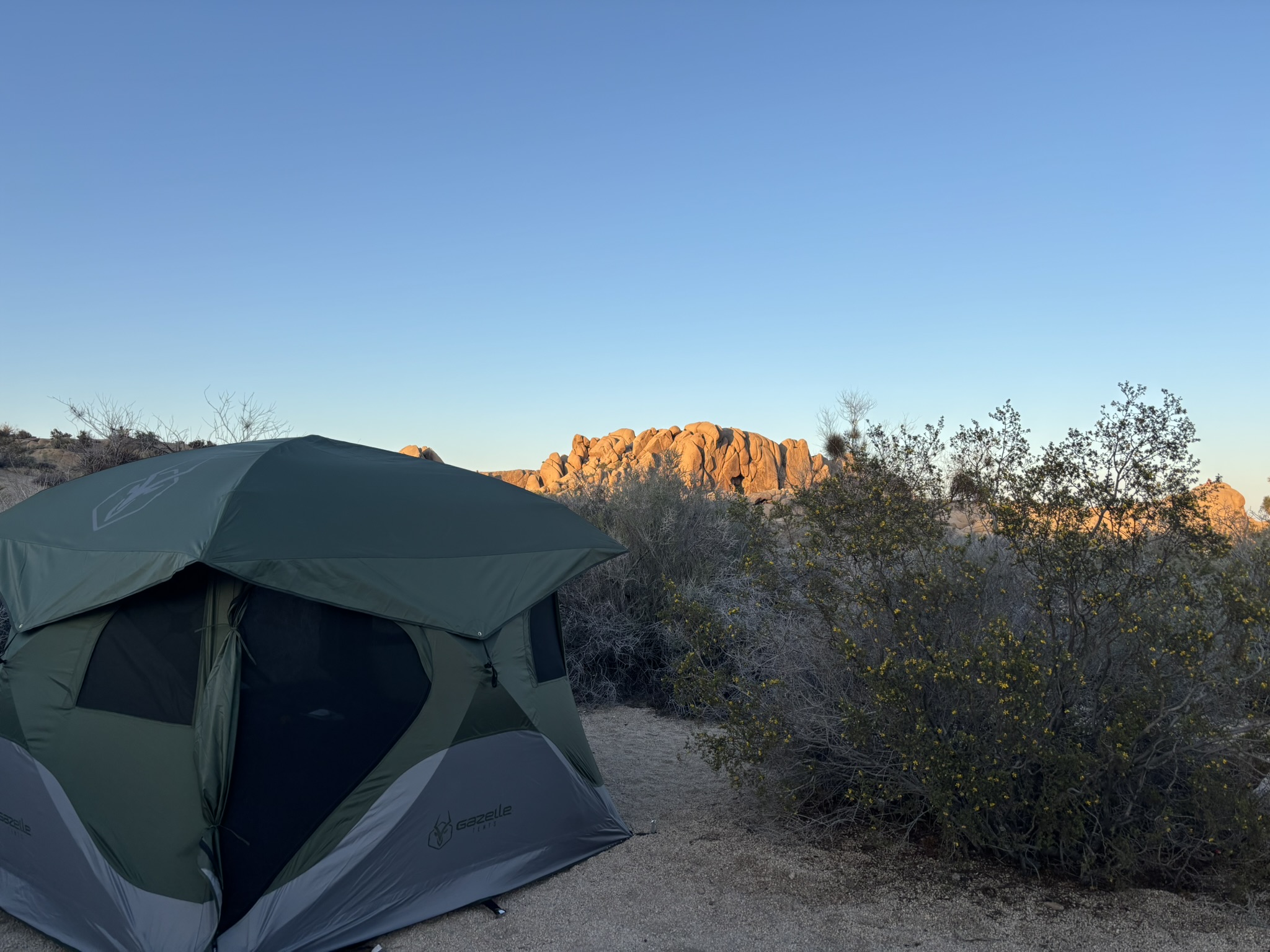
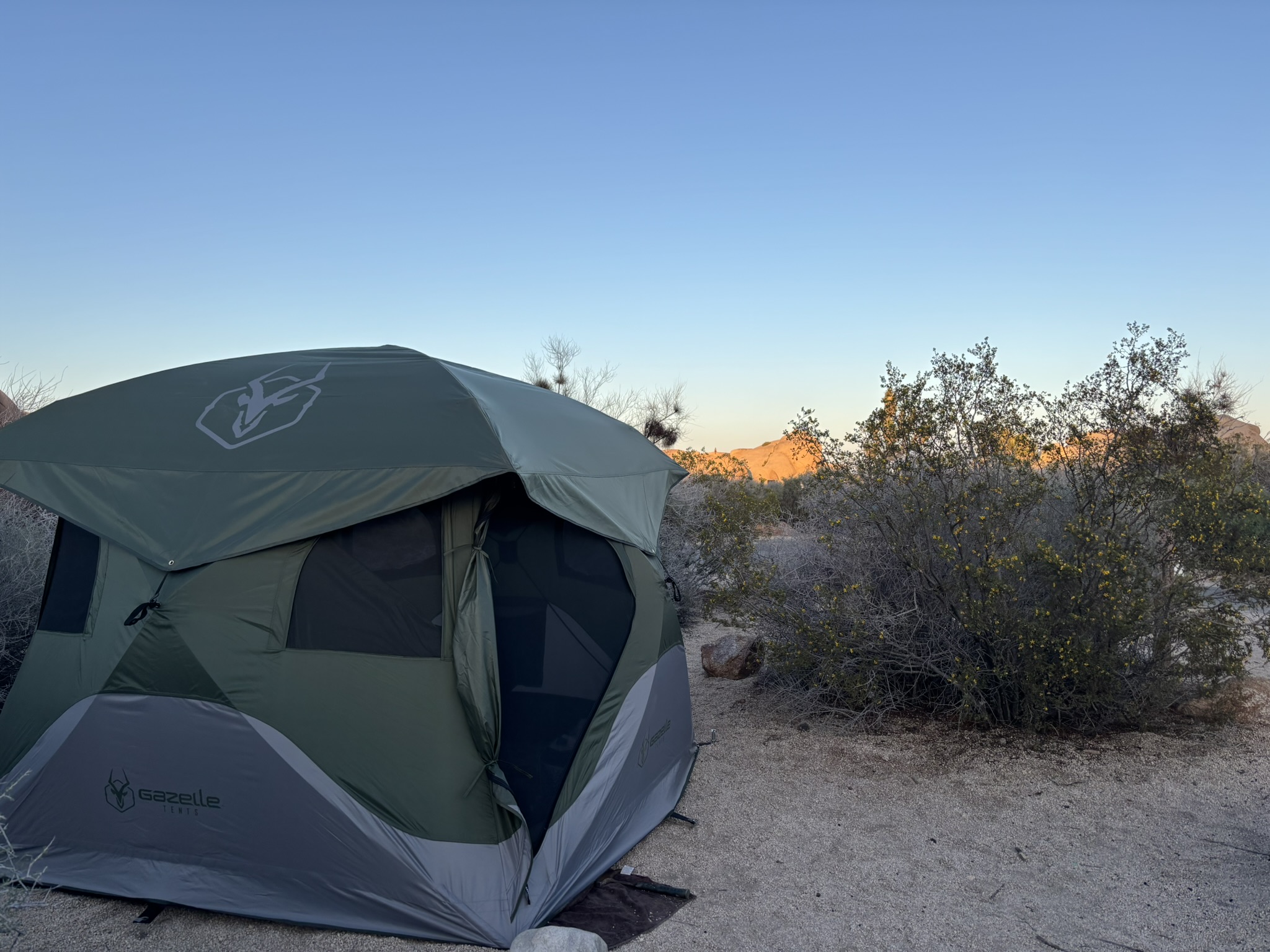
We had two adventures in this week. A trip up the Palm Springs Tramway with Kiara for a hike around the Desert View Trail and a two-night camping trip to Joshua Tree NP to test the new tent that Santa delivered on behalf of Ky and Ki.
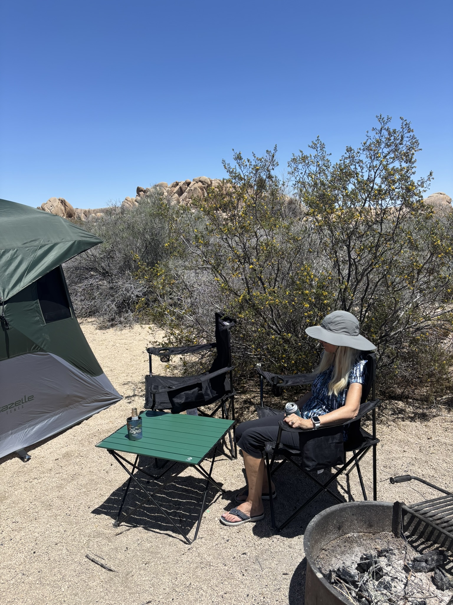
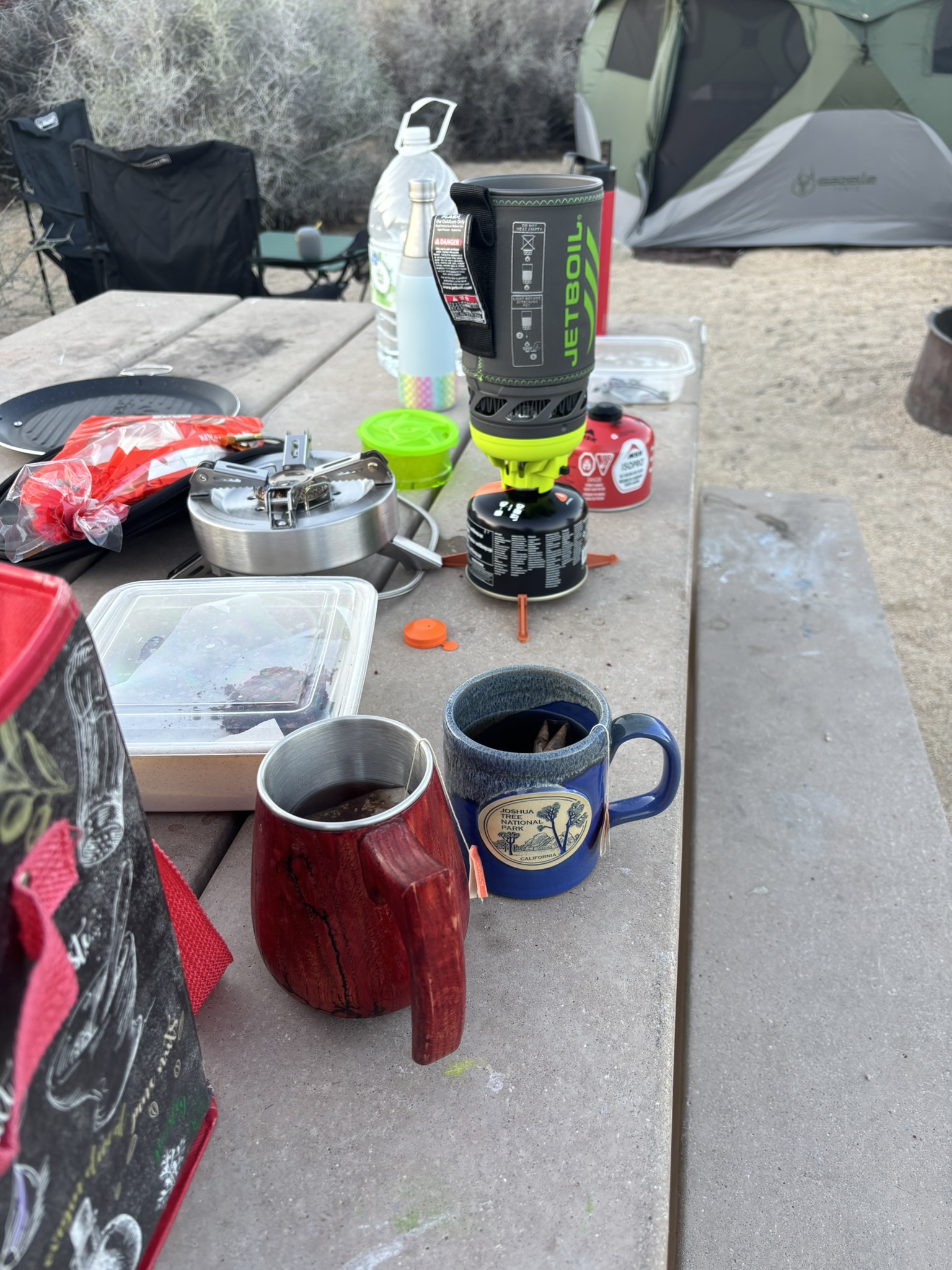
Both of these locations have received significant coverage in previous blogs so other than to say that the weather was beautiful, the beer was cold, and the camping was a success, this is a fast blog post of pictures. As always, if you click on the picture, it should enlarge and show you the full photo. To return to blog, hit the back arrow on your browser. WordPress tends to crop some of the photos in the gallery view but a click will get you the entire pic.
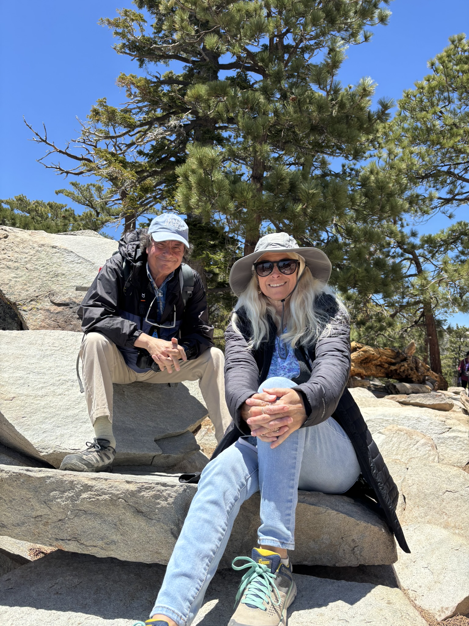
San Jacinto State Park – Desert View Trail
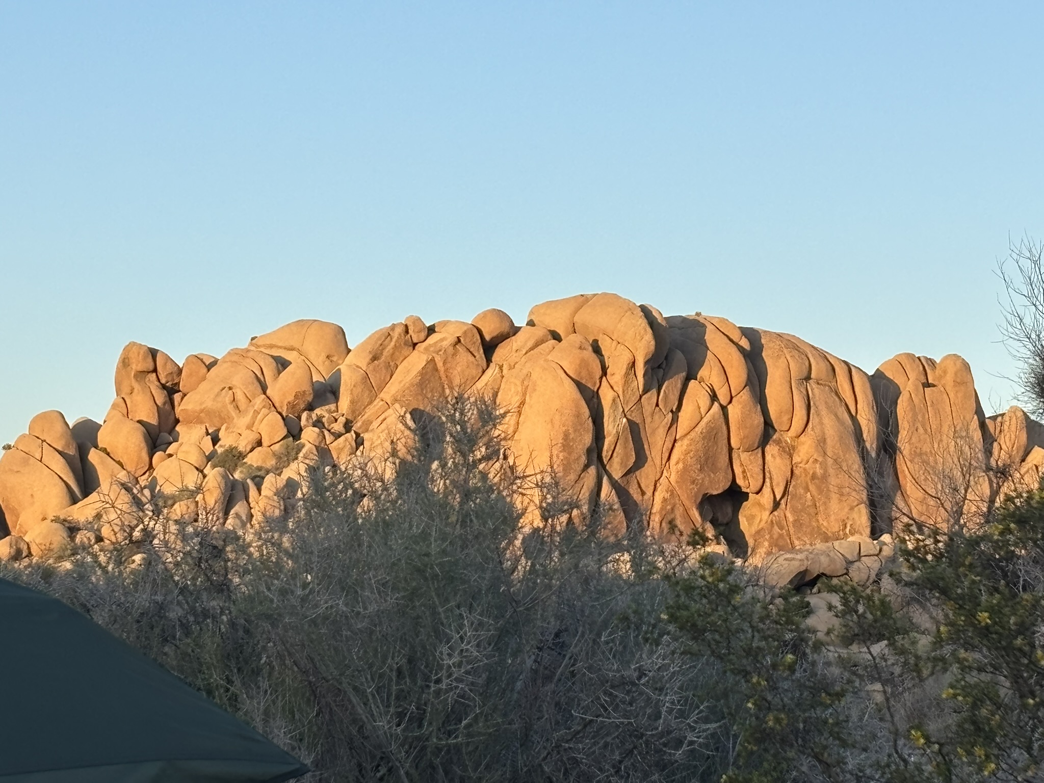
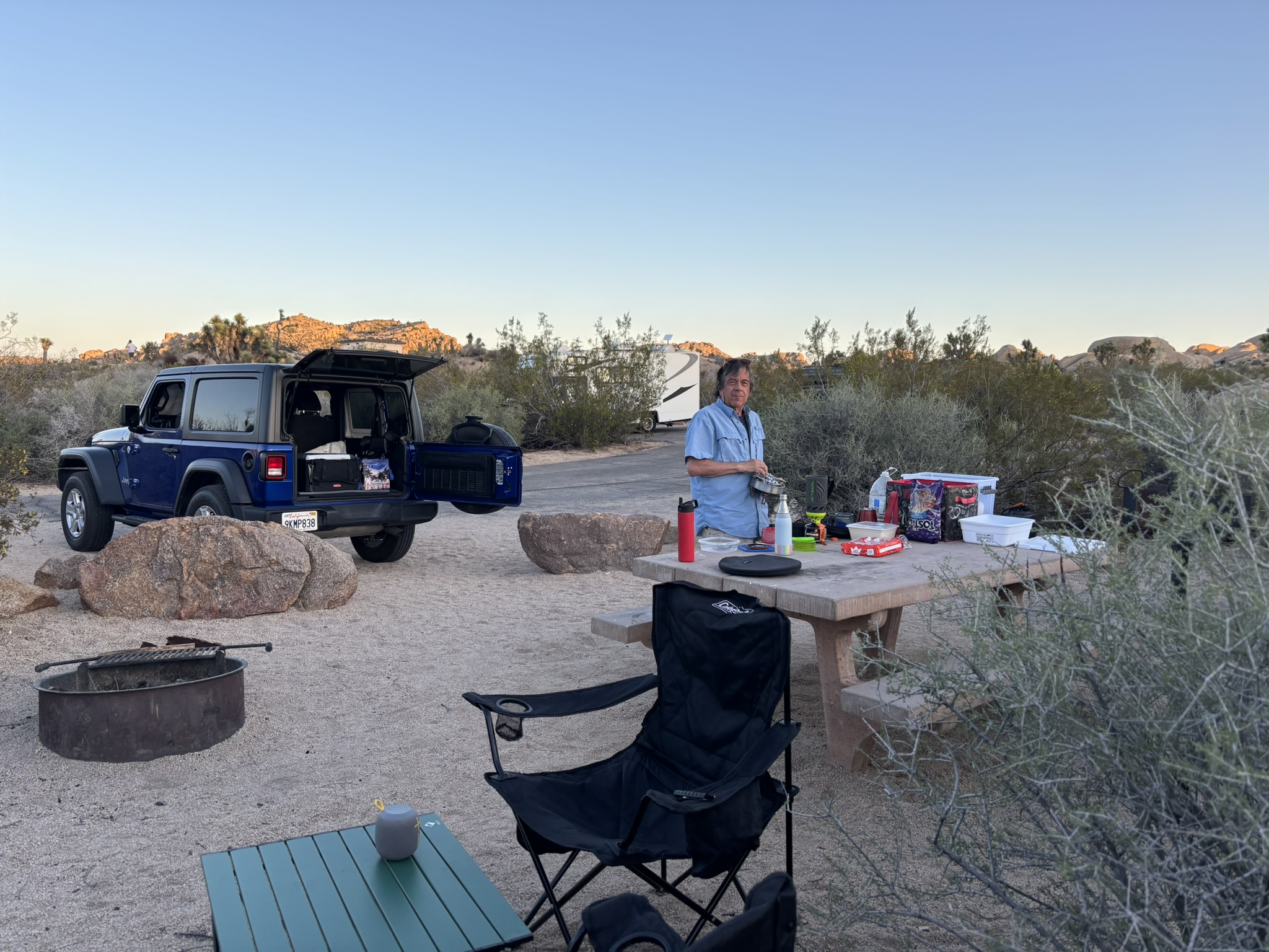
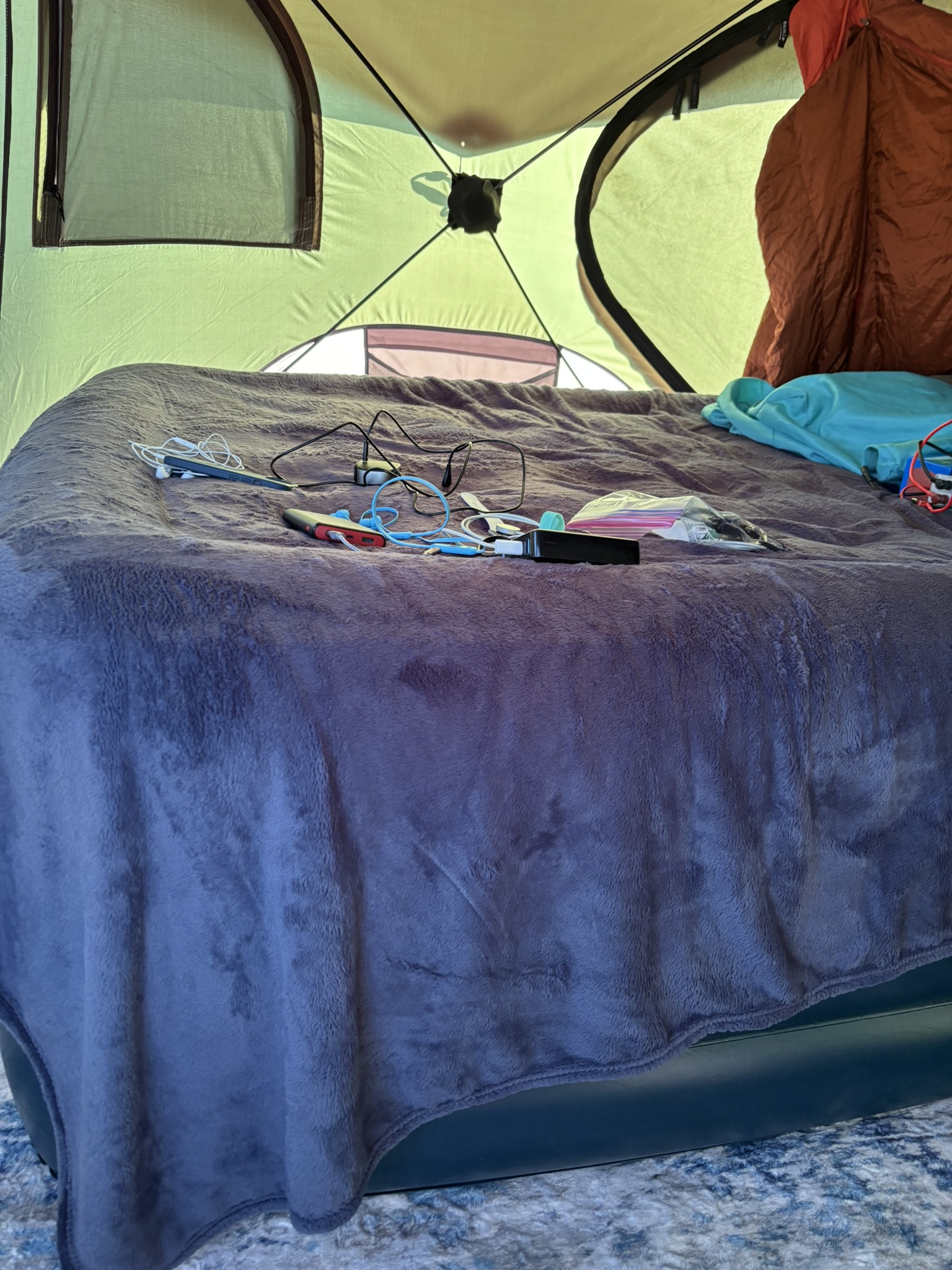
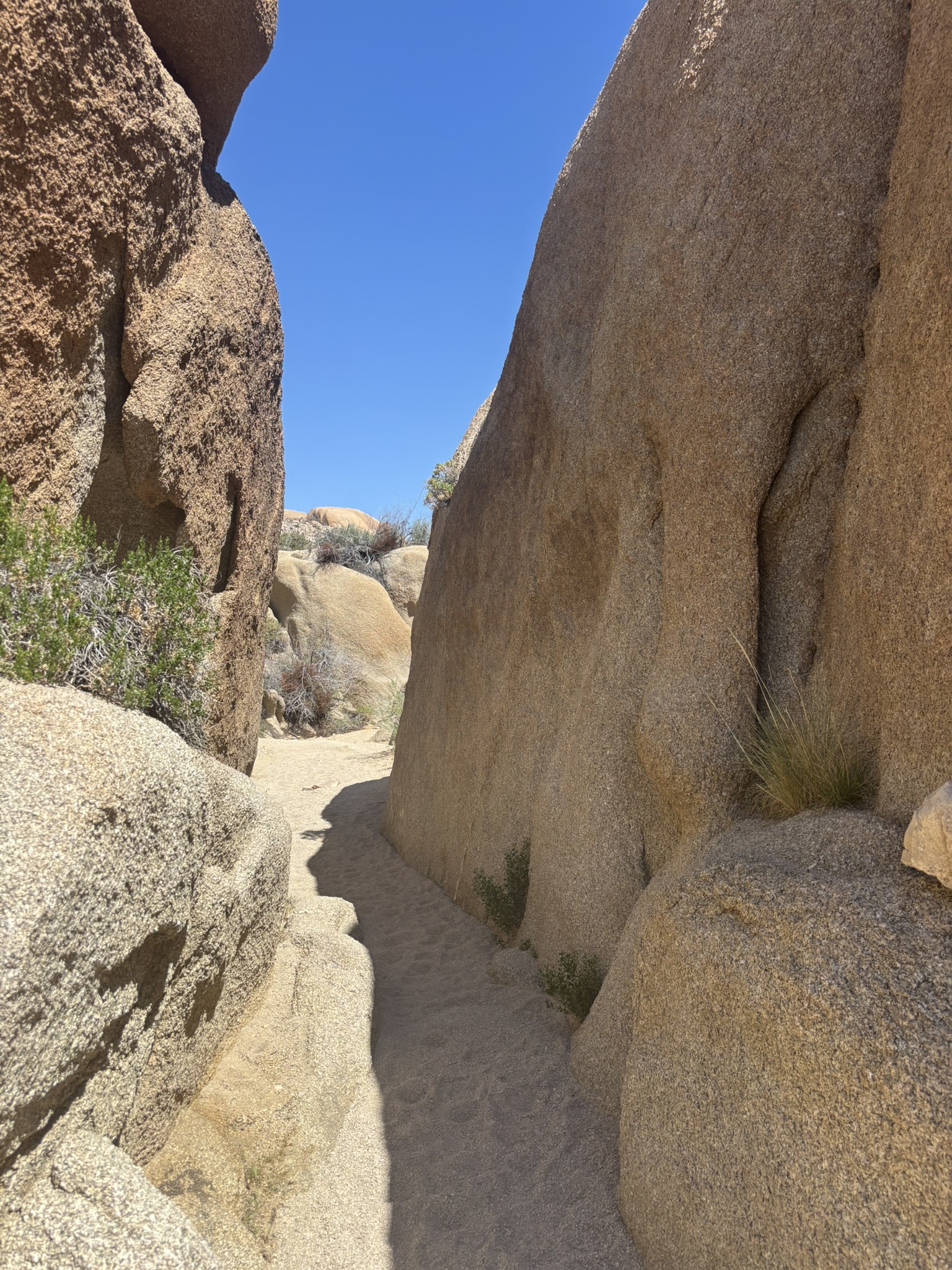
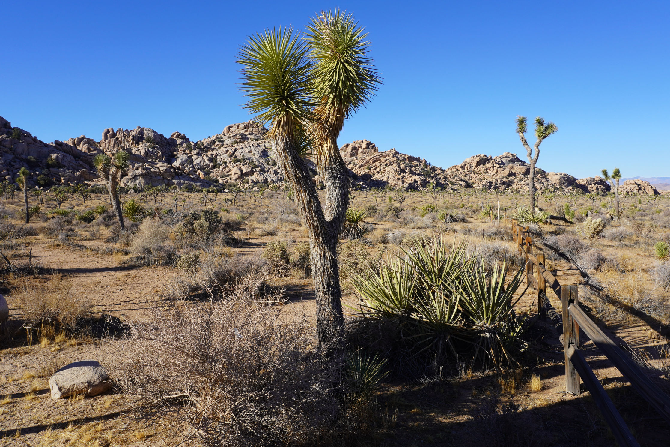
Joshua Tree National Park – Jumbo Rocks Campground
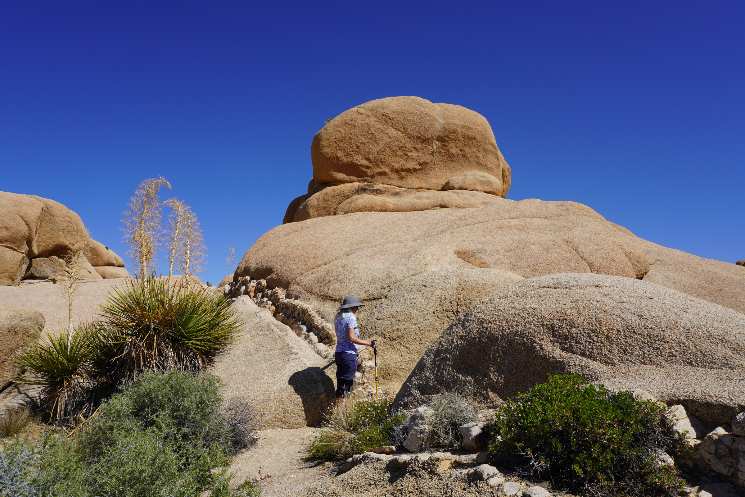
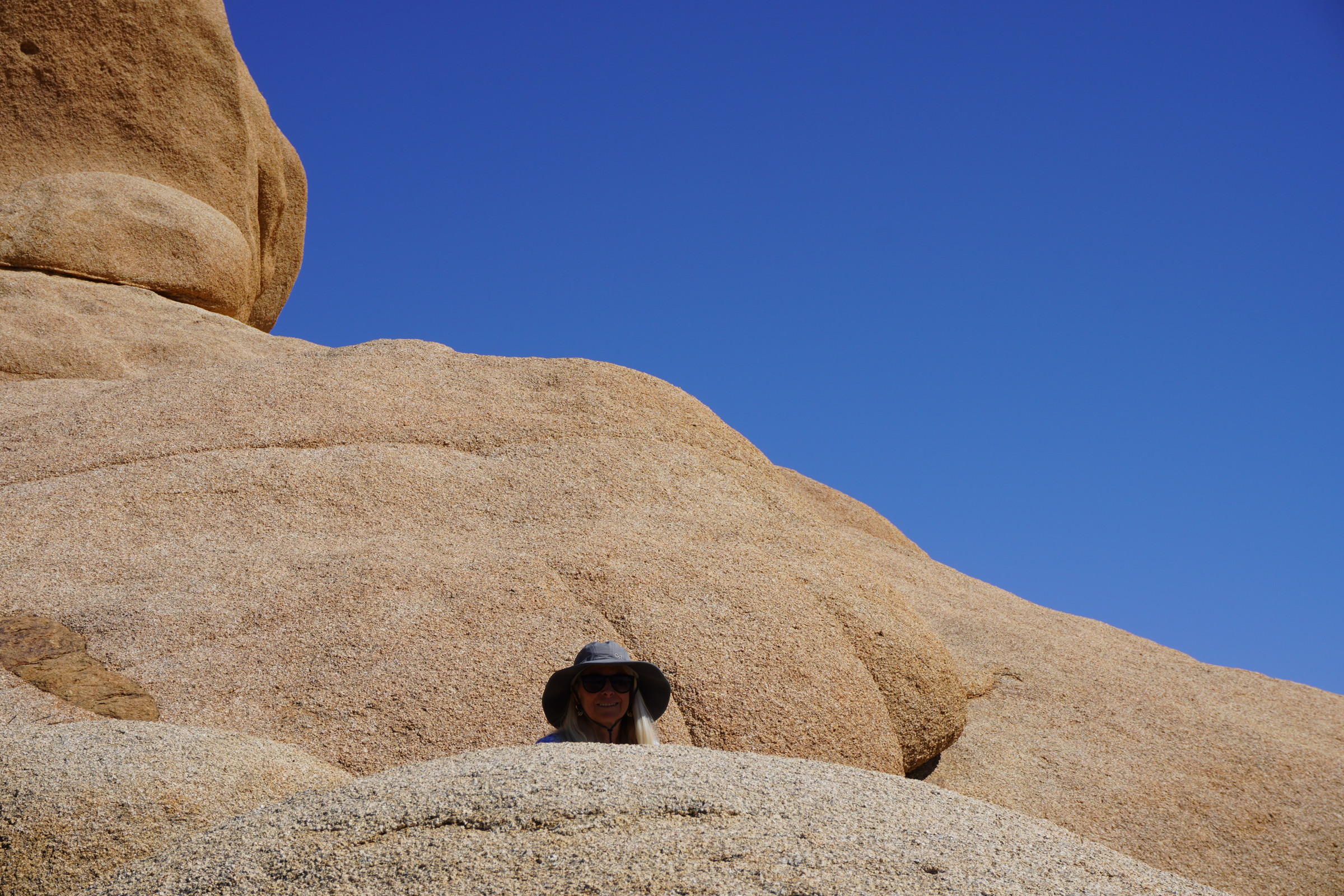
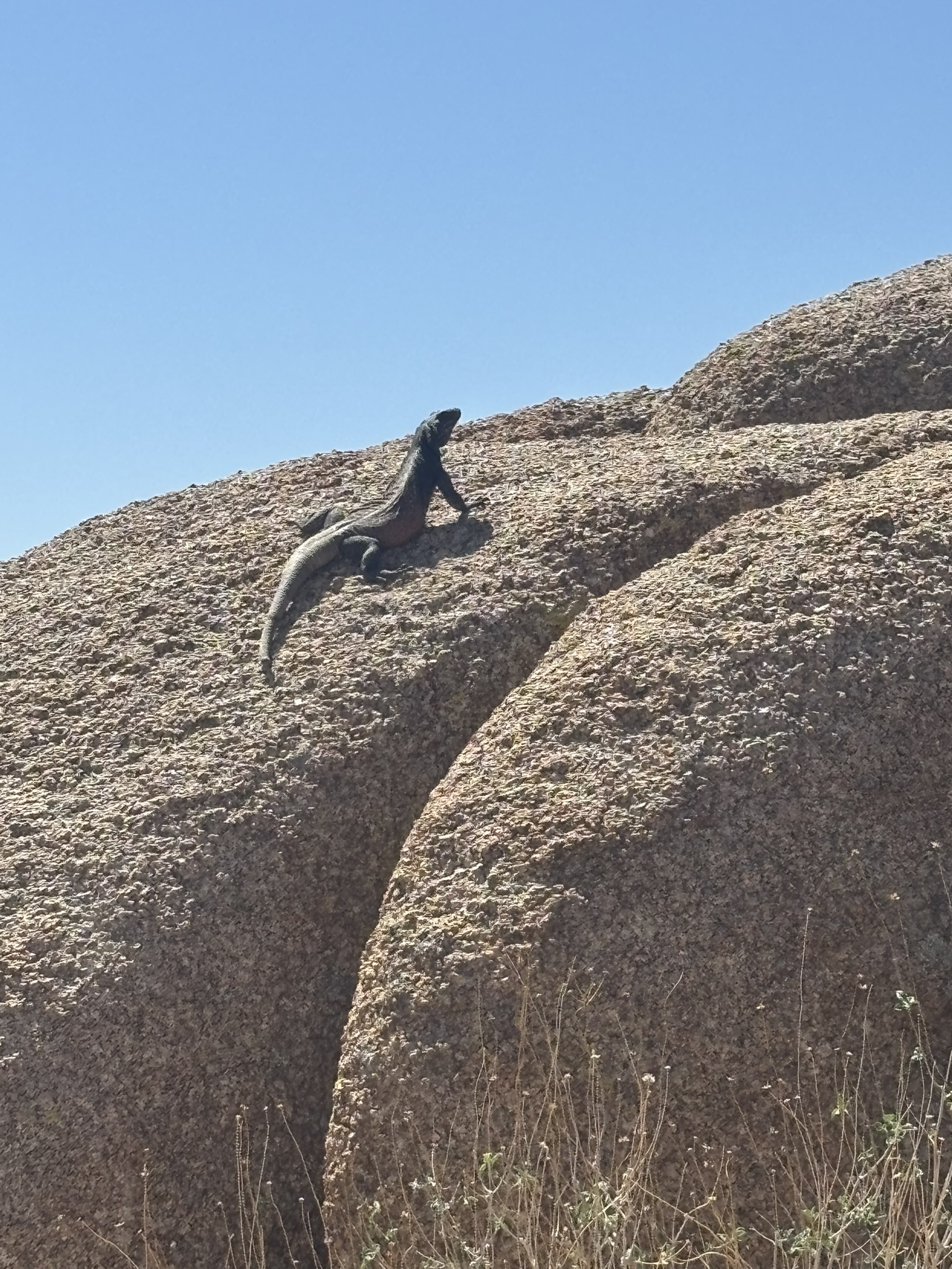
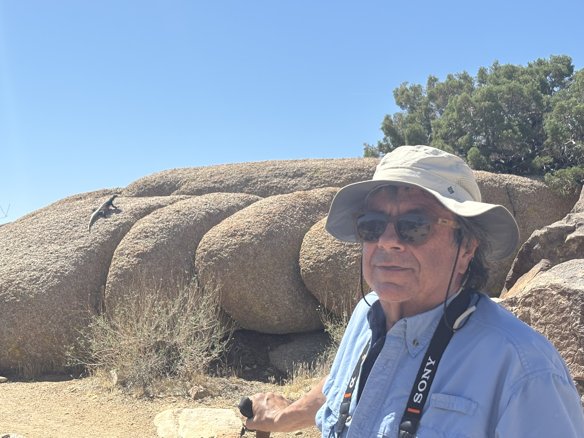
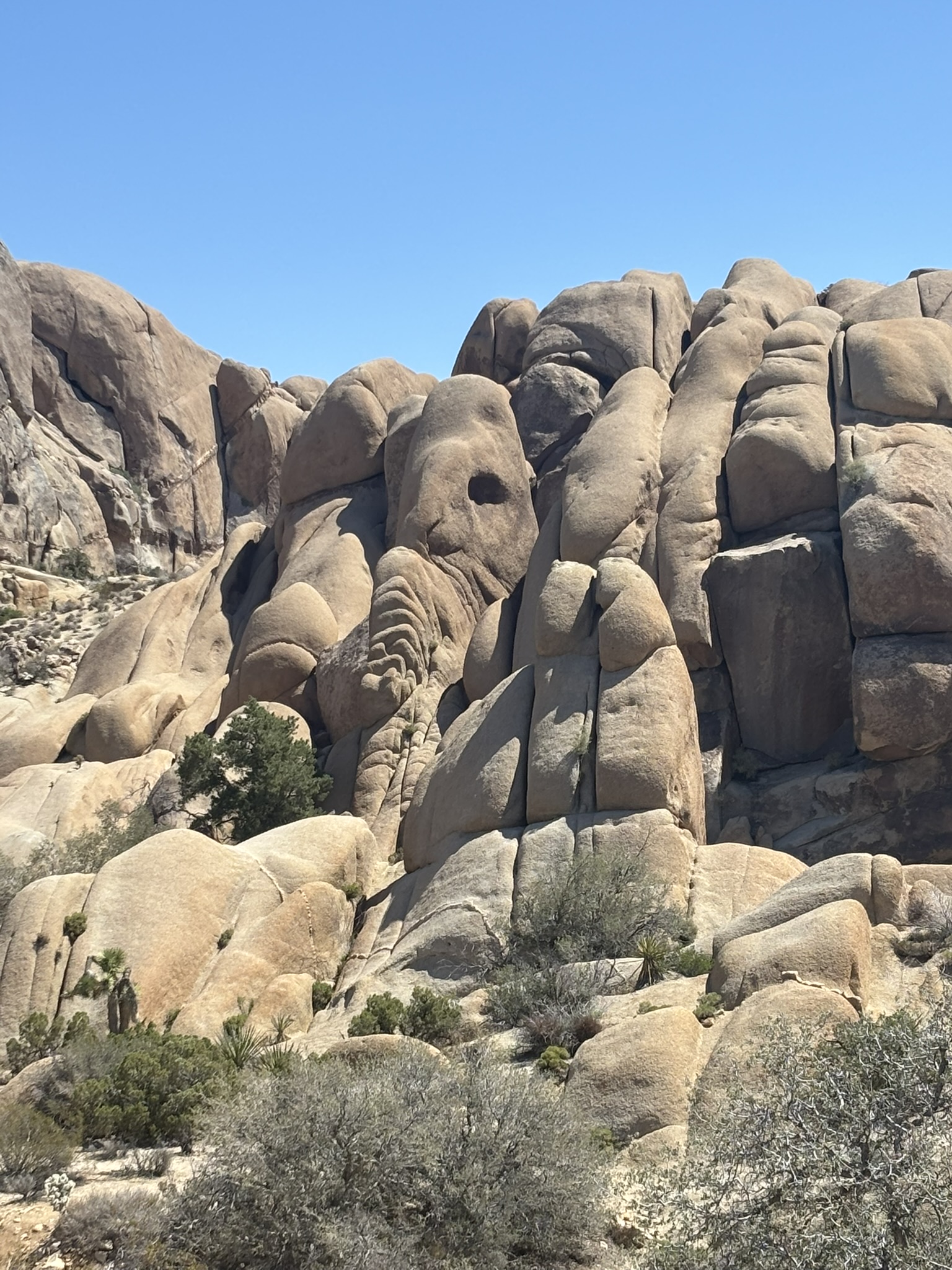
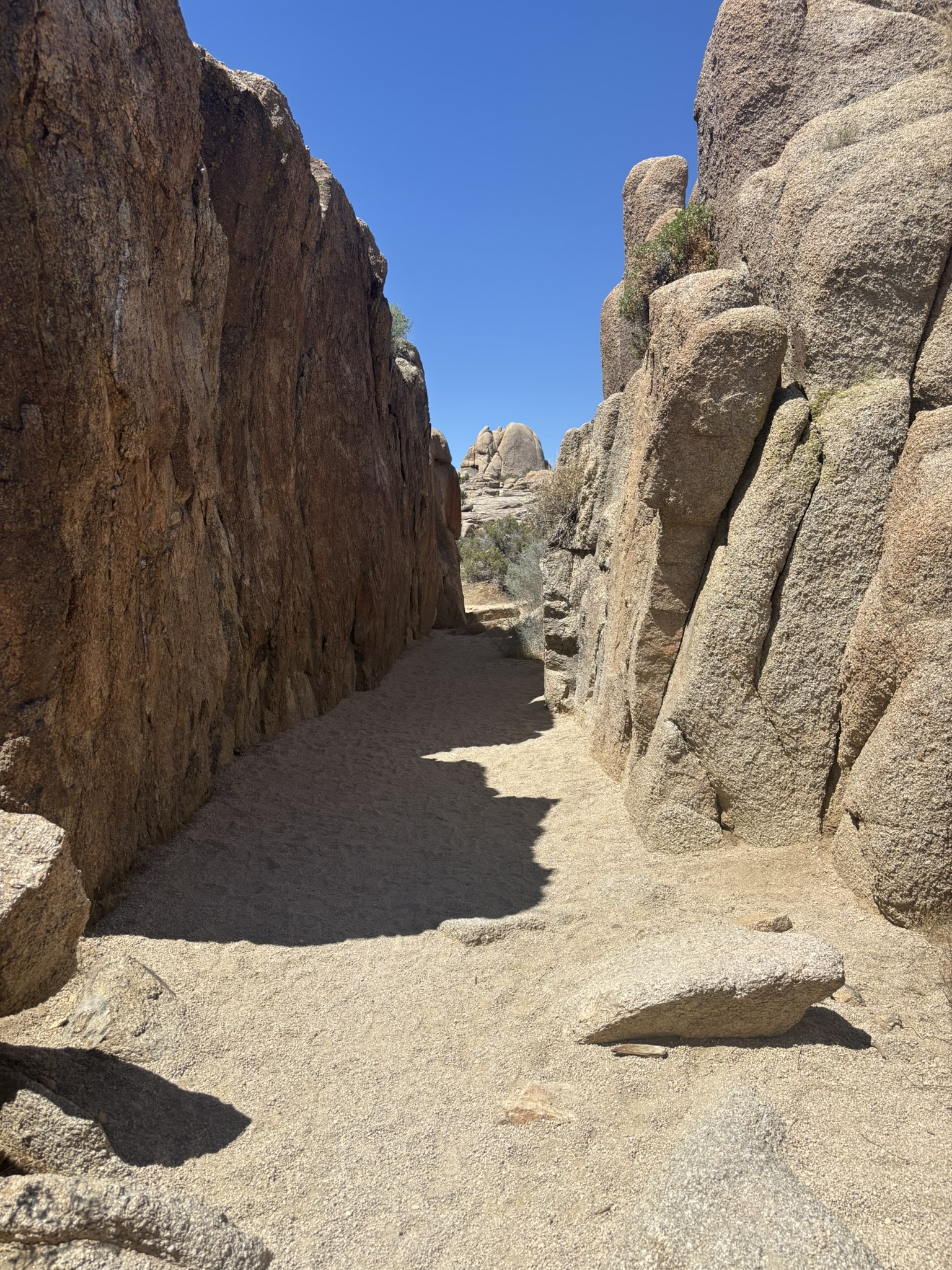
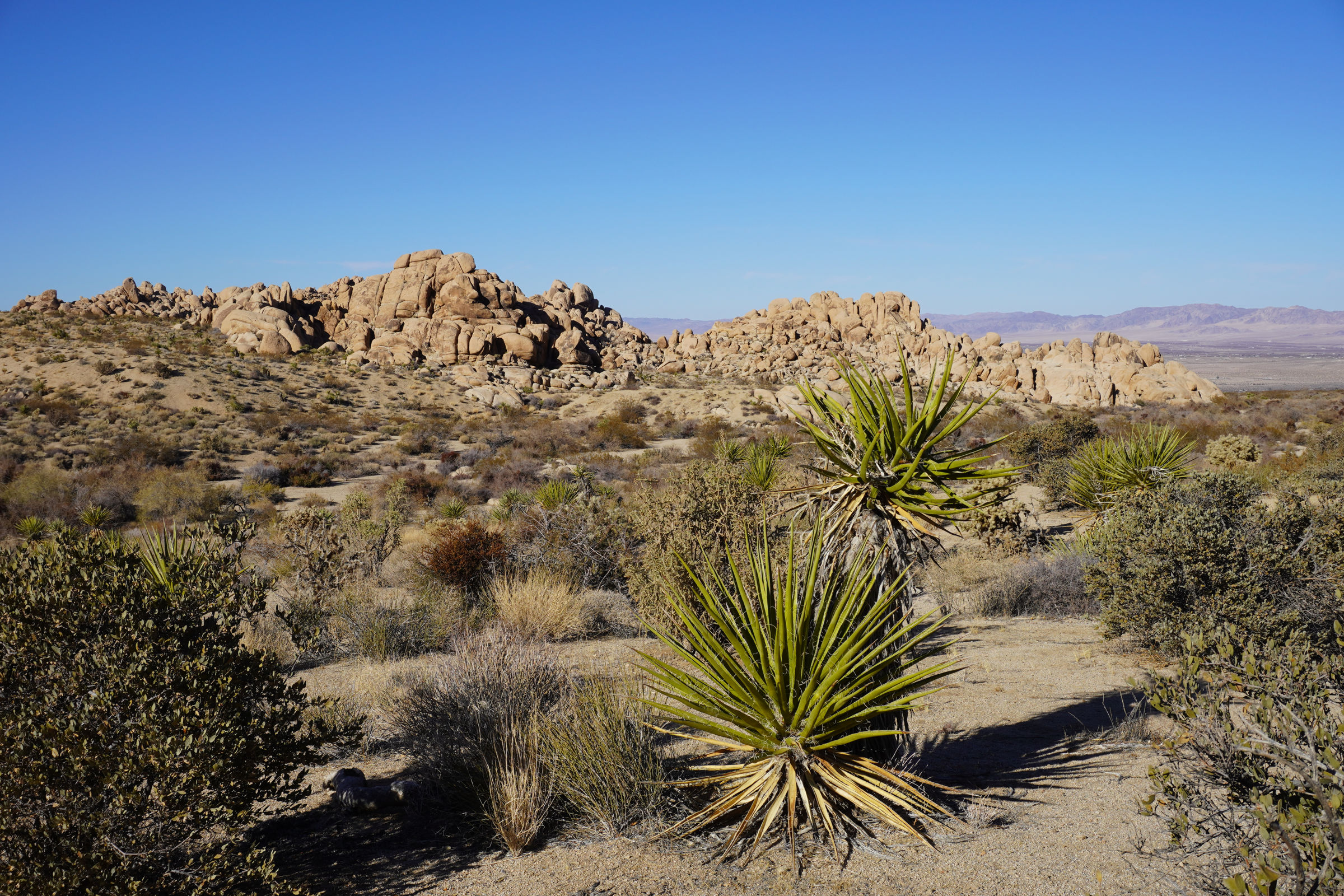
Joshua Tree National Park – Discovery Trail and Face Rock Trail
This may be the last trip to JTNP until September. As it heats up and we are in town, we spend more of our summer on top of San Jacinto where it is generally 30 deg cooler. I have been thinking about a sunrise hike to the Desert Queen Mine in JTNP. It’s only about an hour and a half to drive up there to a campsite which are usually pretty empty in the summer. If I shoot up there near sunset, throw out a bag and small tent, then get up about 5:00 AM, the trail will easily be finished by 8:00 just in time for pancakes and coffee in town.
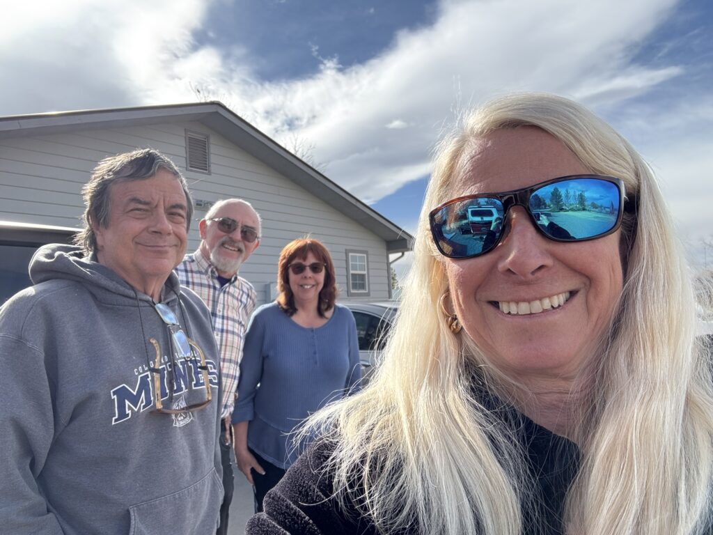
We shot over to Montrose, Colorado to visit my cousin Steve and his wife, Jody. They had retired to Montrose from the Phoenix area buying a very nice home on a nice size piece of property and workshop to keep Steve busy. We toured the town and had a great lunch with some local microbrew. Montrose is way bigger than I remember it. But then again last time I was there was probably in 1985. Do you know they now have a proper airport and jet airplanes fly in and out… several times a day? I have a vague recollection of flying into Montrose on a cold November day on a Rocky Mountain Airways Flight shivering in the back of a DeHavilland Twin Otter and hoping the airport would be open and I could get a ride to the hotel…. the times they are a changing…Back when I was going back and forth through that area, the city of Montrose had about 9,000 folks. Now there are about 22,000 folks in the city. The county has grown pretty visibly also.
We had a delightful visit with Steve and Jody. He and I of course got into it over something that I don’t remember. We do not have similar political views.
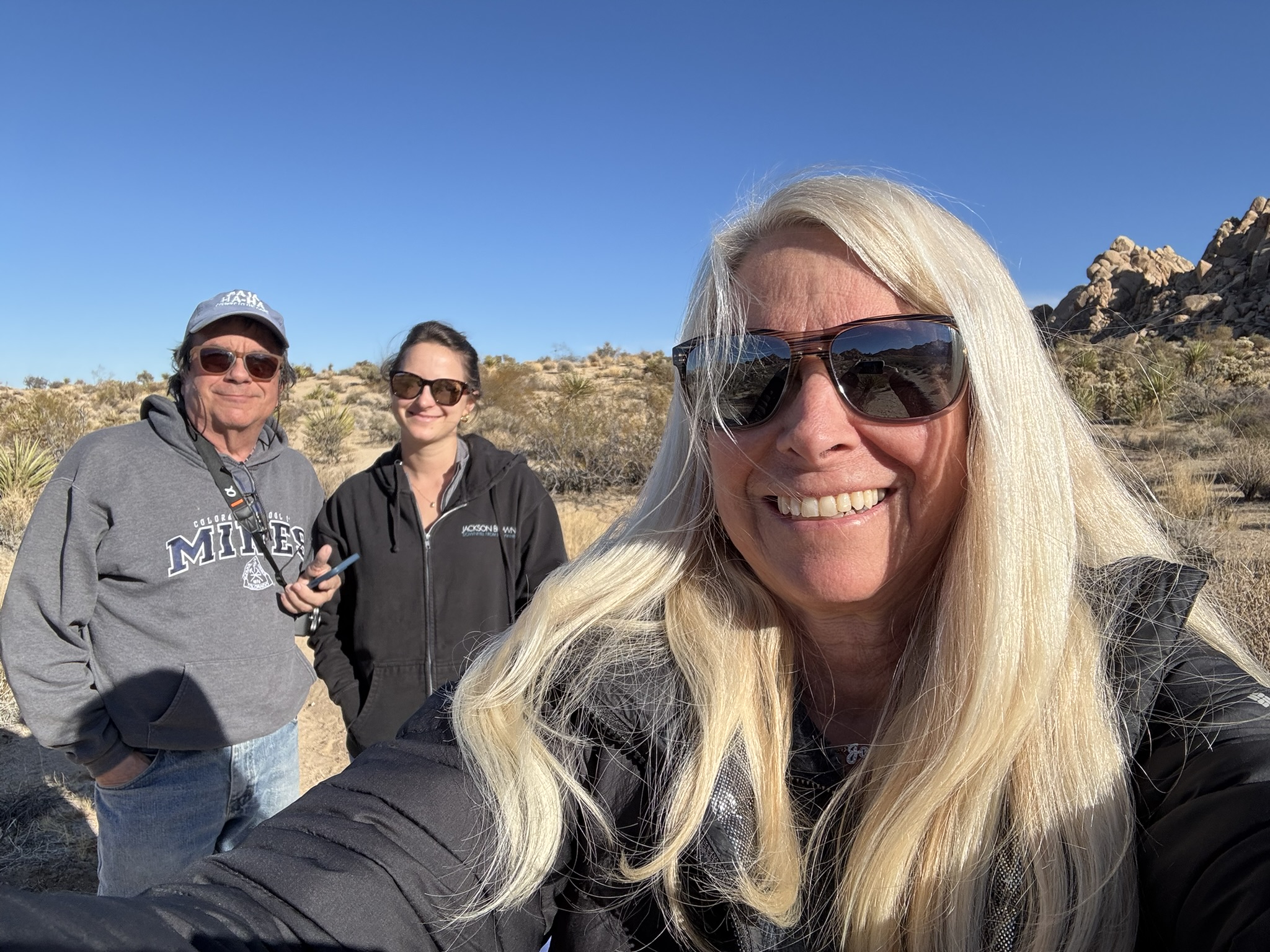
The classic selfie. The good-looking photo bombers in the back are my younger cousin Steve (I believe he is the only Hagar who absolutely has to wear a hat in winter) and his better half, Jody!
By the next morning, the smoke had cleared, and we said our goodbyes and headed across the mountains to Four Corners. I had a fond memory of stopping there in about 1980 or 1981 (or so) with my buddy Jim Sullivan and striking the characteristic pose with one foot in Colorado and Arizona and the other in Utah and New Mexico.
Four Corners in 1980 or 1981 (or so). This was a trip that Sully and I had started to visit Yellowstone with our bicycles. We got snowed out of western Wyoming before reaching Yellowstone and returned to Golden and decided to go visit the Grand Canyon. A fortuitous decision that has led to at least nine additional trips to the Canyon.
But alas, commercialism has hit the Four Corners. The Four Corners sit in the Navajo Nation and the Nation has decided to monetize visits there. Joni and I were not willing to part with $16 for a two-minute photo opportunity. Also, I was not sure I could get a picture without fences and signs and little merchandise kiosks everywhere.
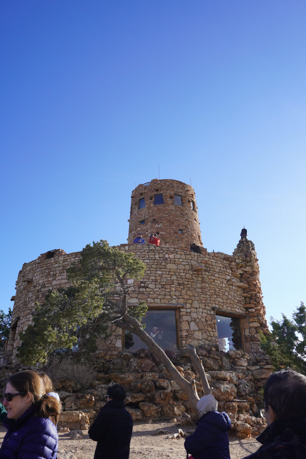
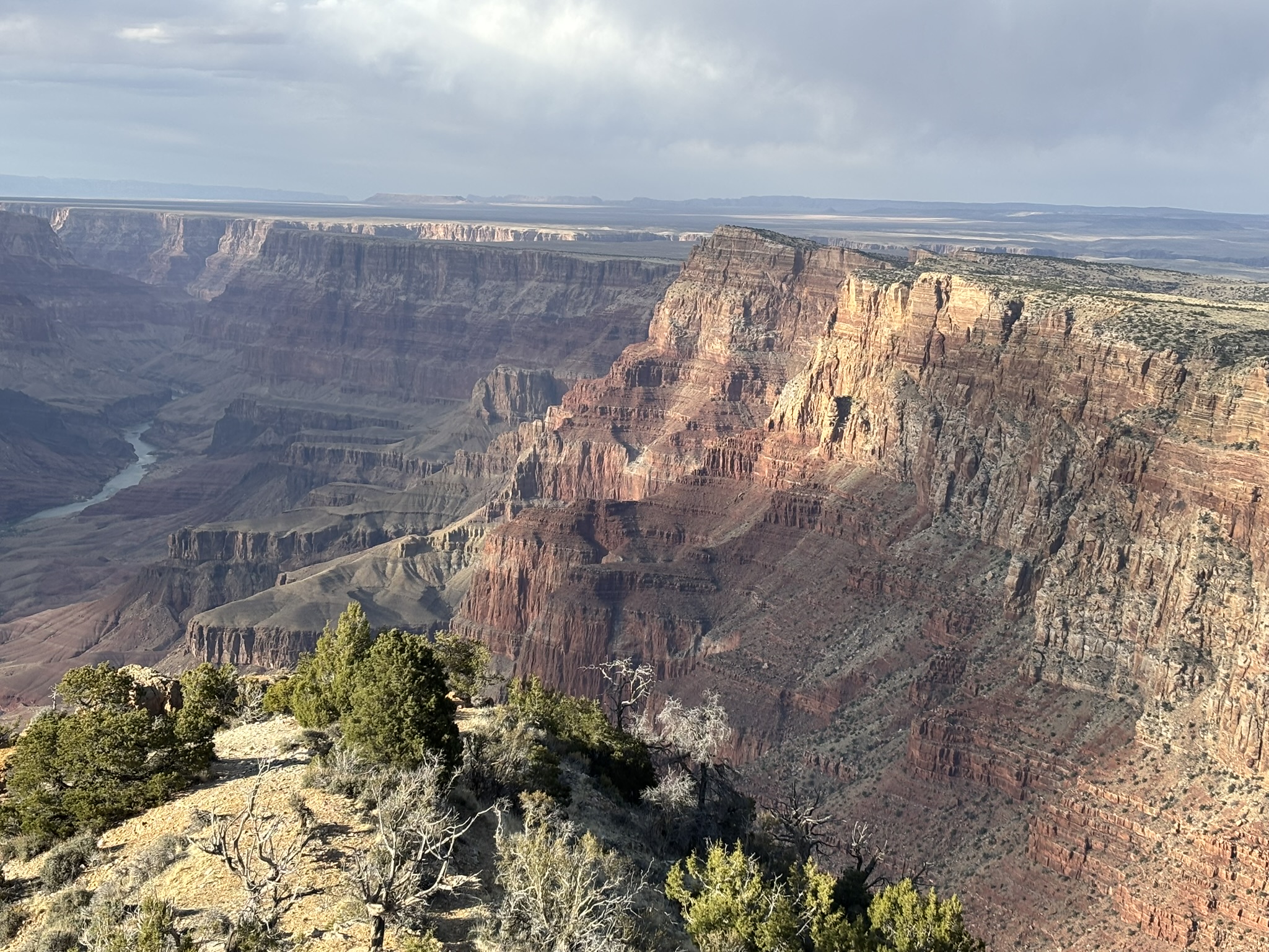
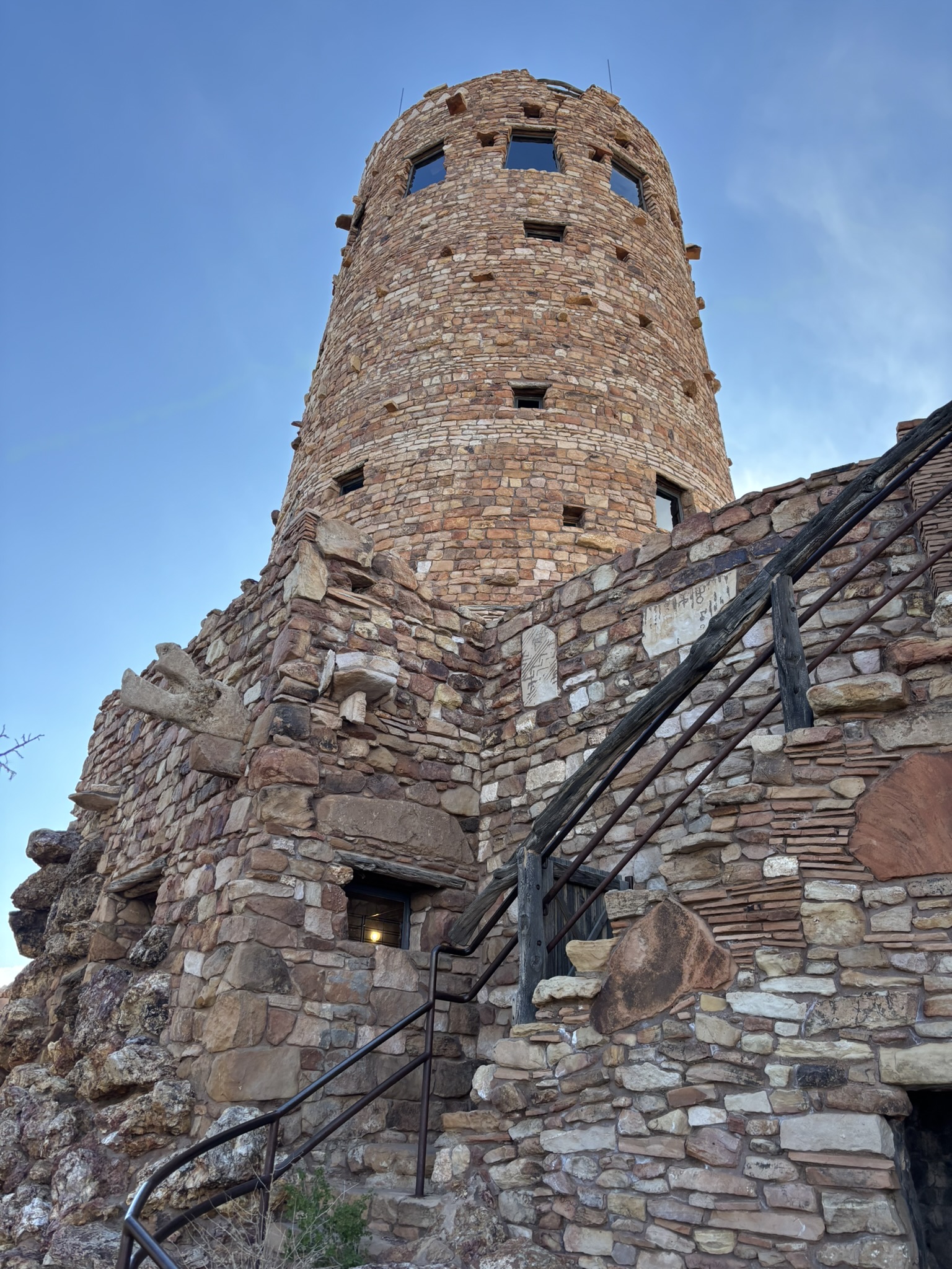
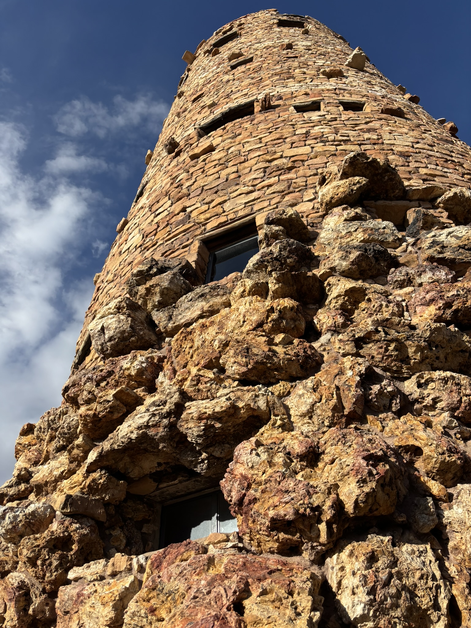
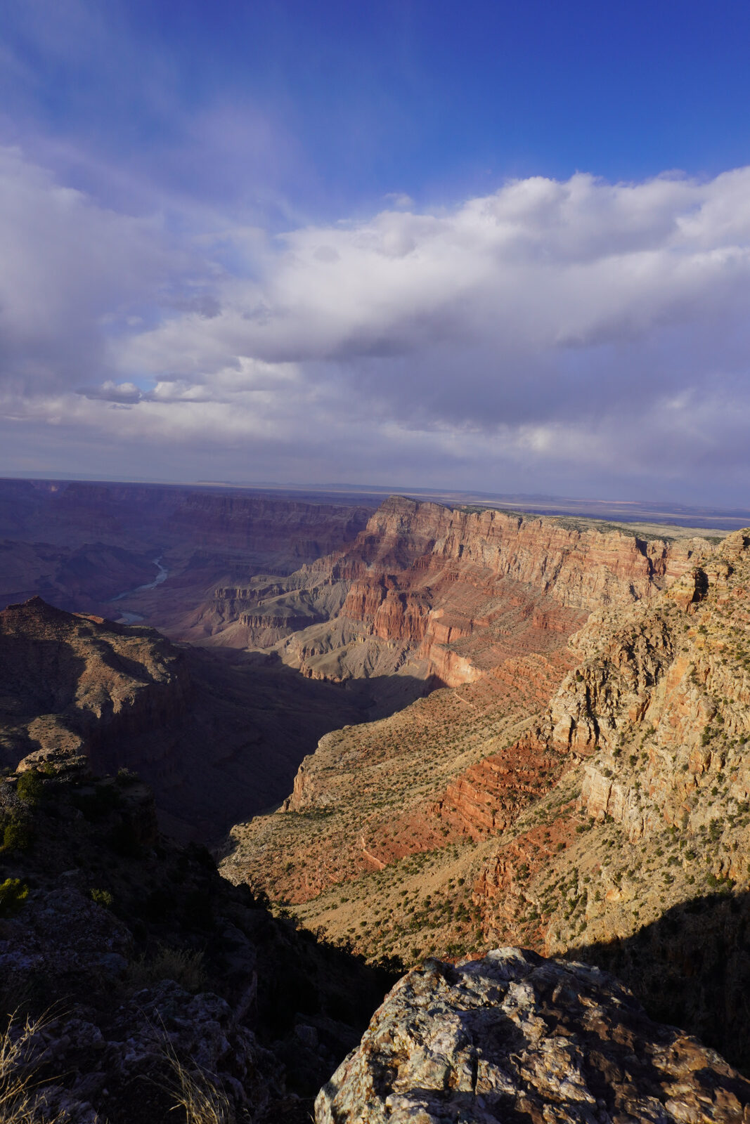
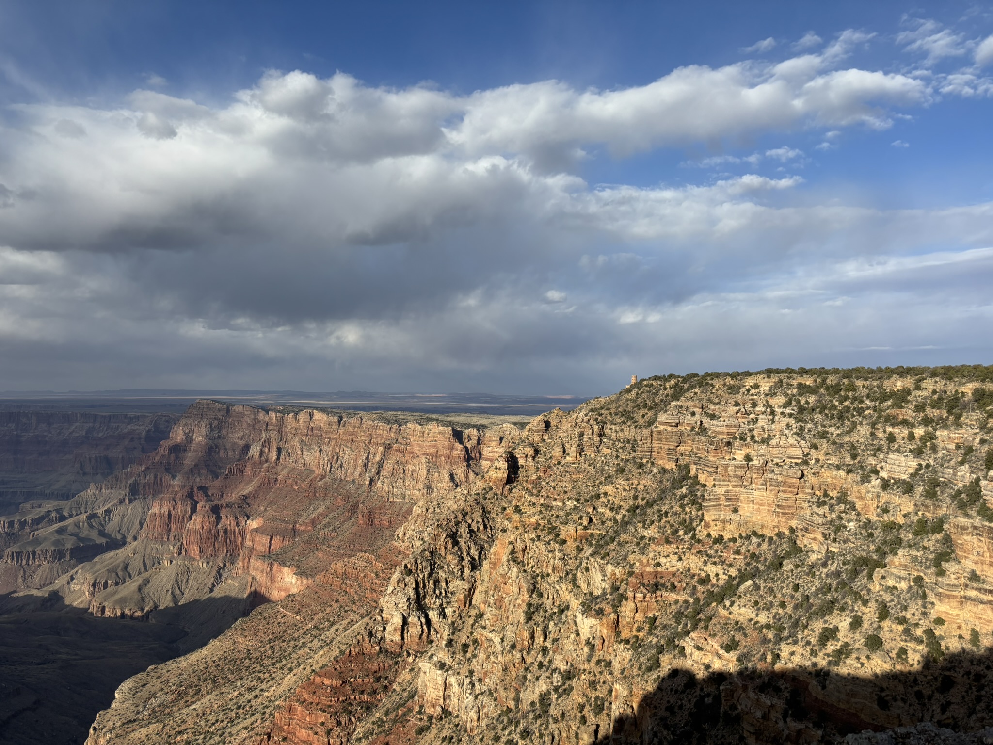
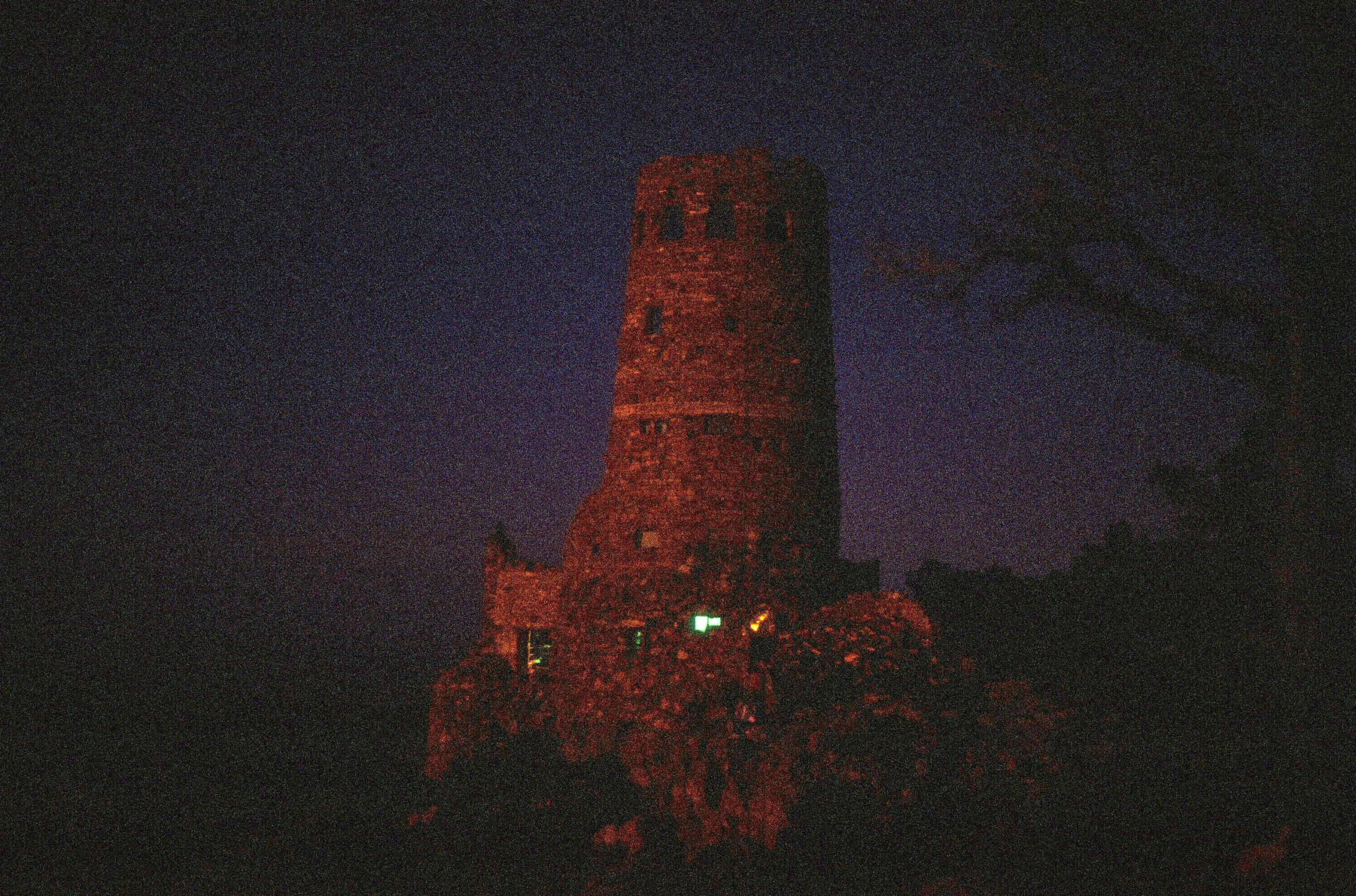
From there, on to the Grand Canyon for a quick overnight stop with evening and morning oohing and aahing and sight-seeing. We entered the park from the east entrance stopping at the Desert View Watchtower which was designed by Mary Colter who we have talked about in earlier posts. She had designed and supervised construction of the La Posada Hotel in Winslow, Arizona, an absolute must stop location if you are roaring across I-40.
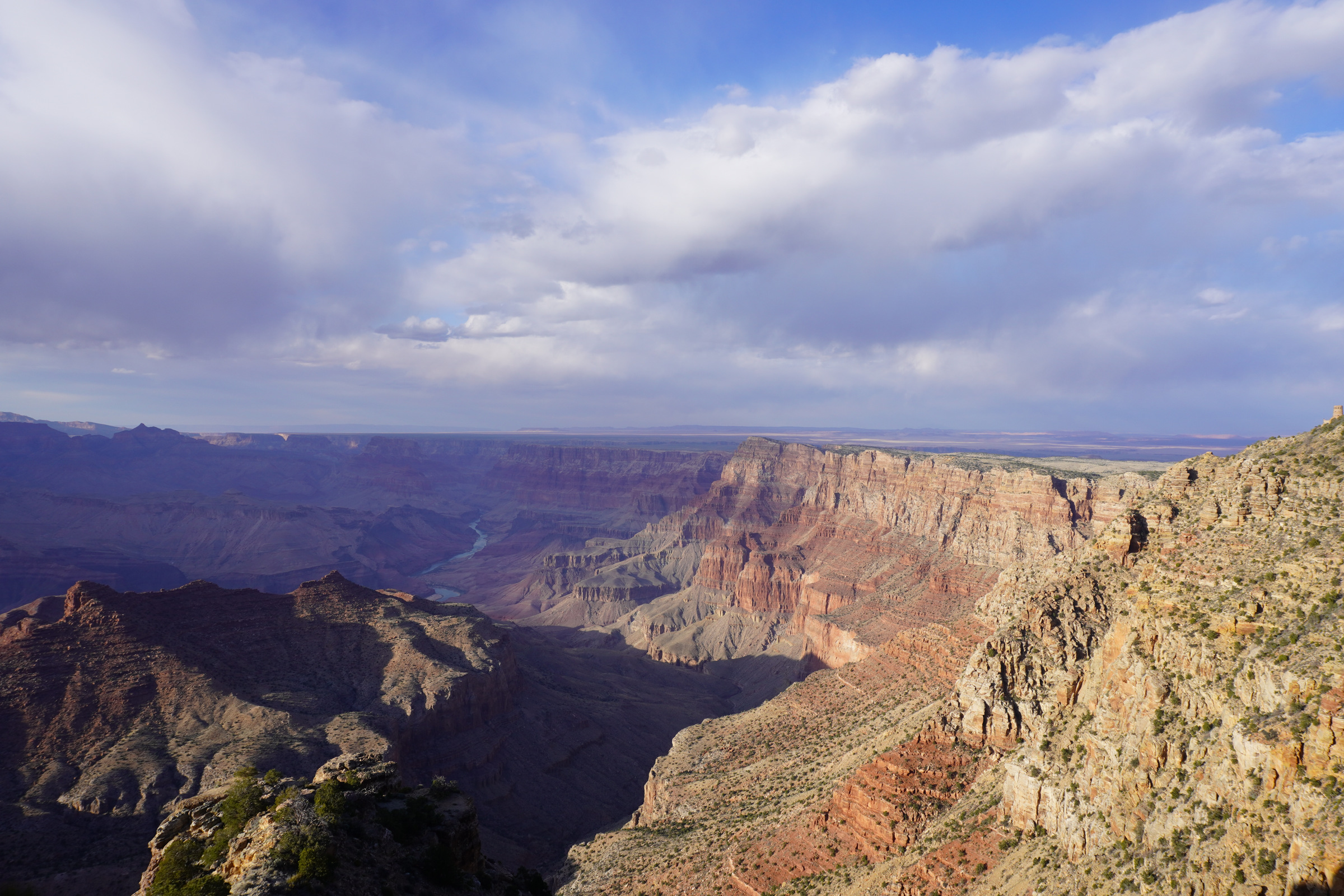
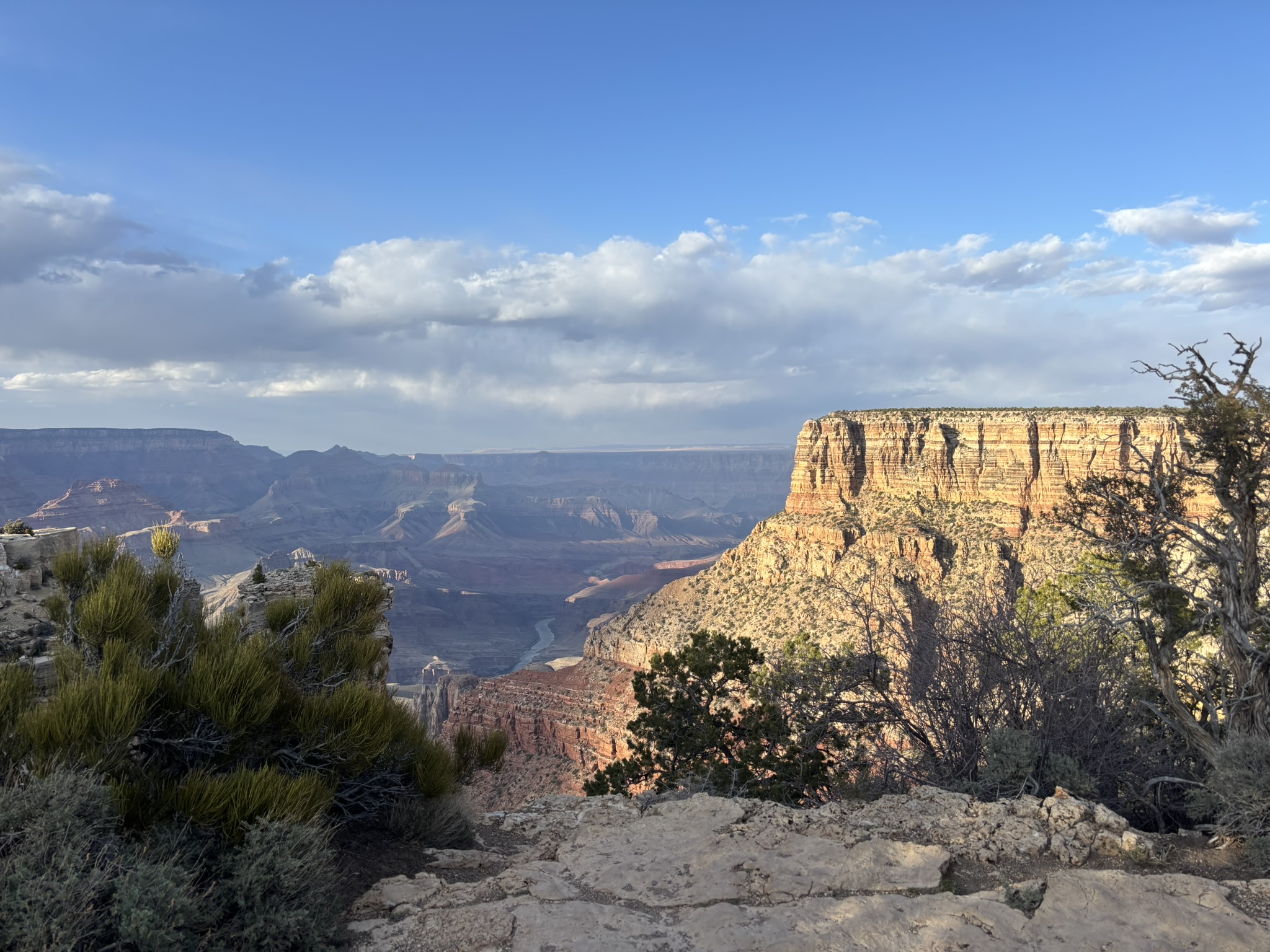
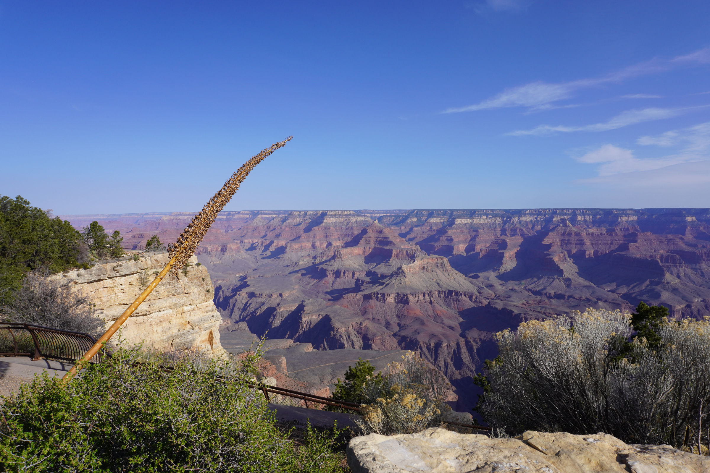
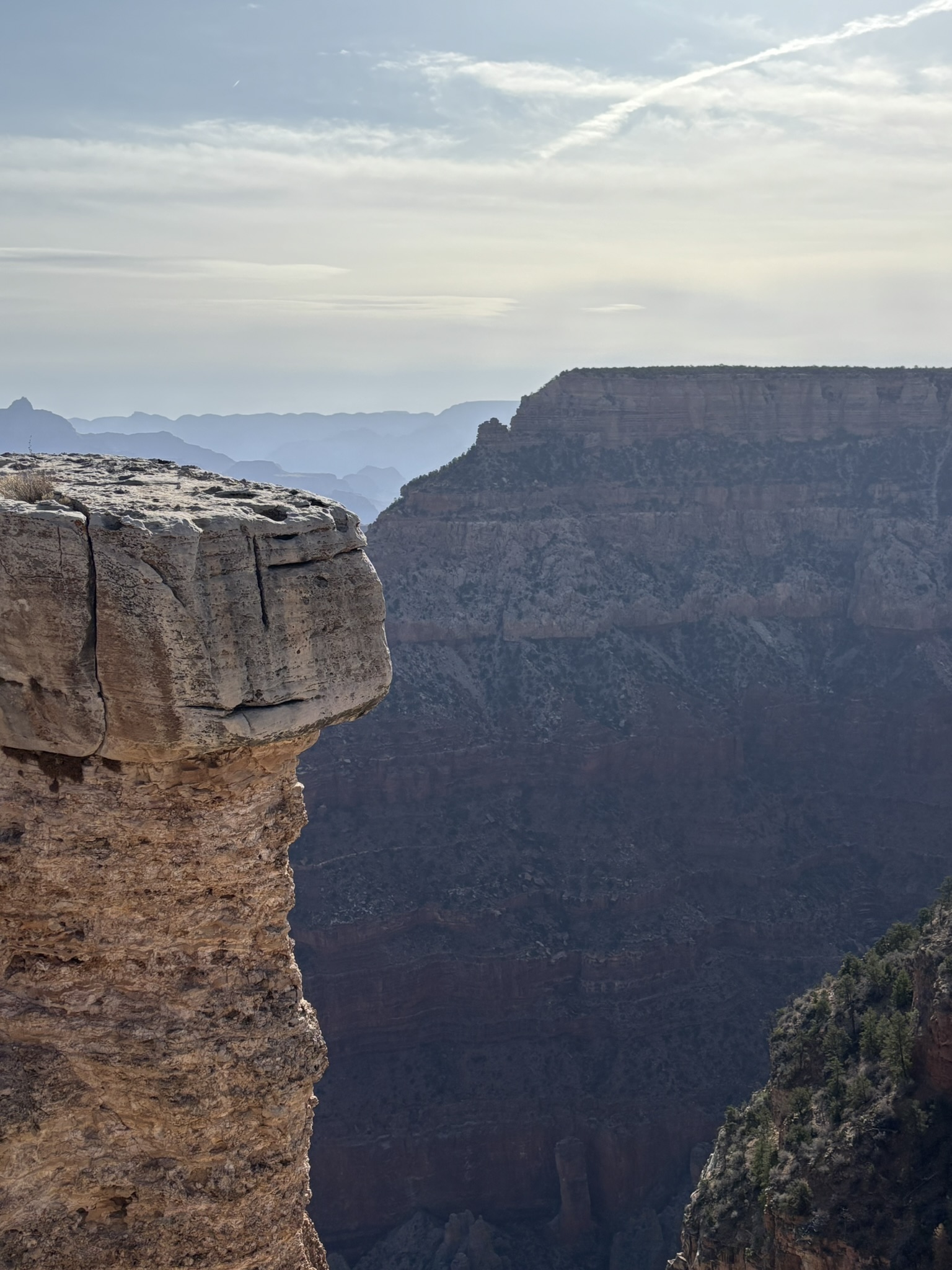
I have always wanted to stay in the El Tovar, which was opened in 1905 by the Atchinson, Topeka and Santa Fe Railway Company. We had ventured inside on several of our previous trips, and it is an amazing building. Unfortunately, a one-night stay in the El Tovar without much advance notice will set a back $500.00. We did get a much more reasonable price in the park at Yavapai Lodge which was very nice. Rather than waxing poetic on the geology of the Grand Canyon, just some evening views from the South Rim. If you click or double-click on photo, it will enlarge. Use the back arrow on your browser to get back to the blog,
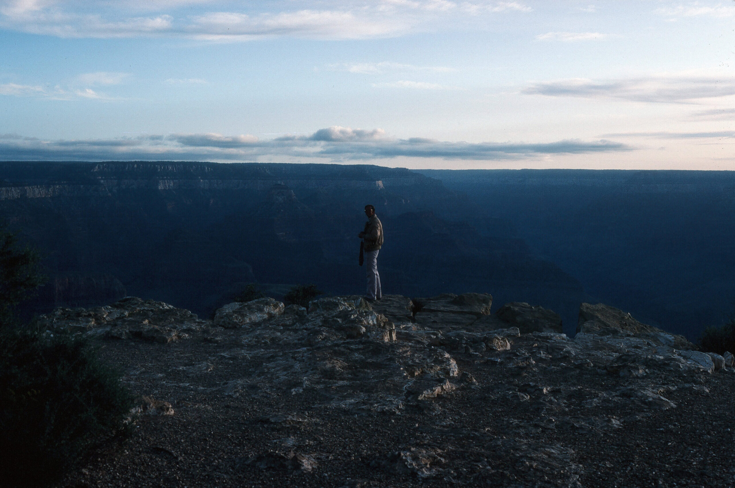
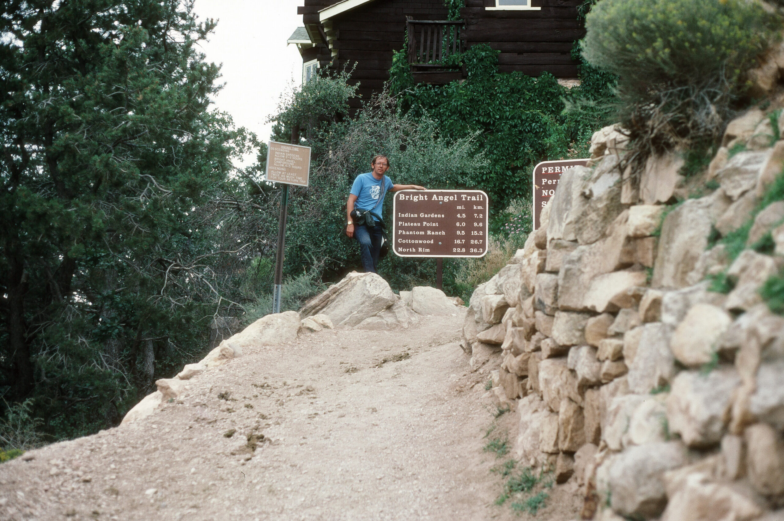
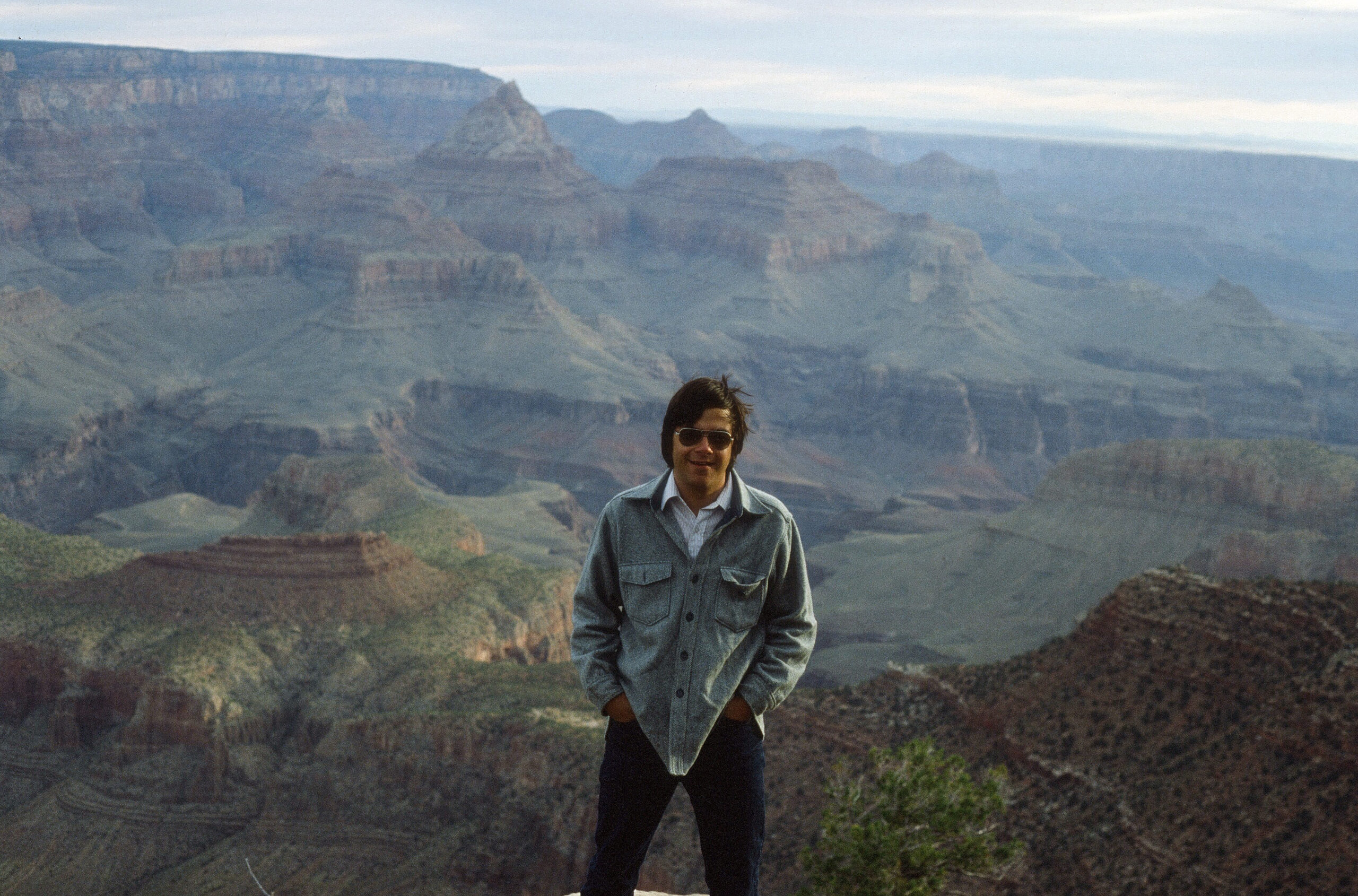
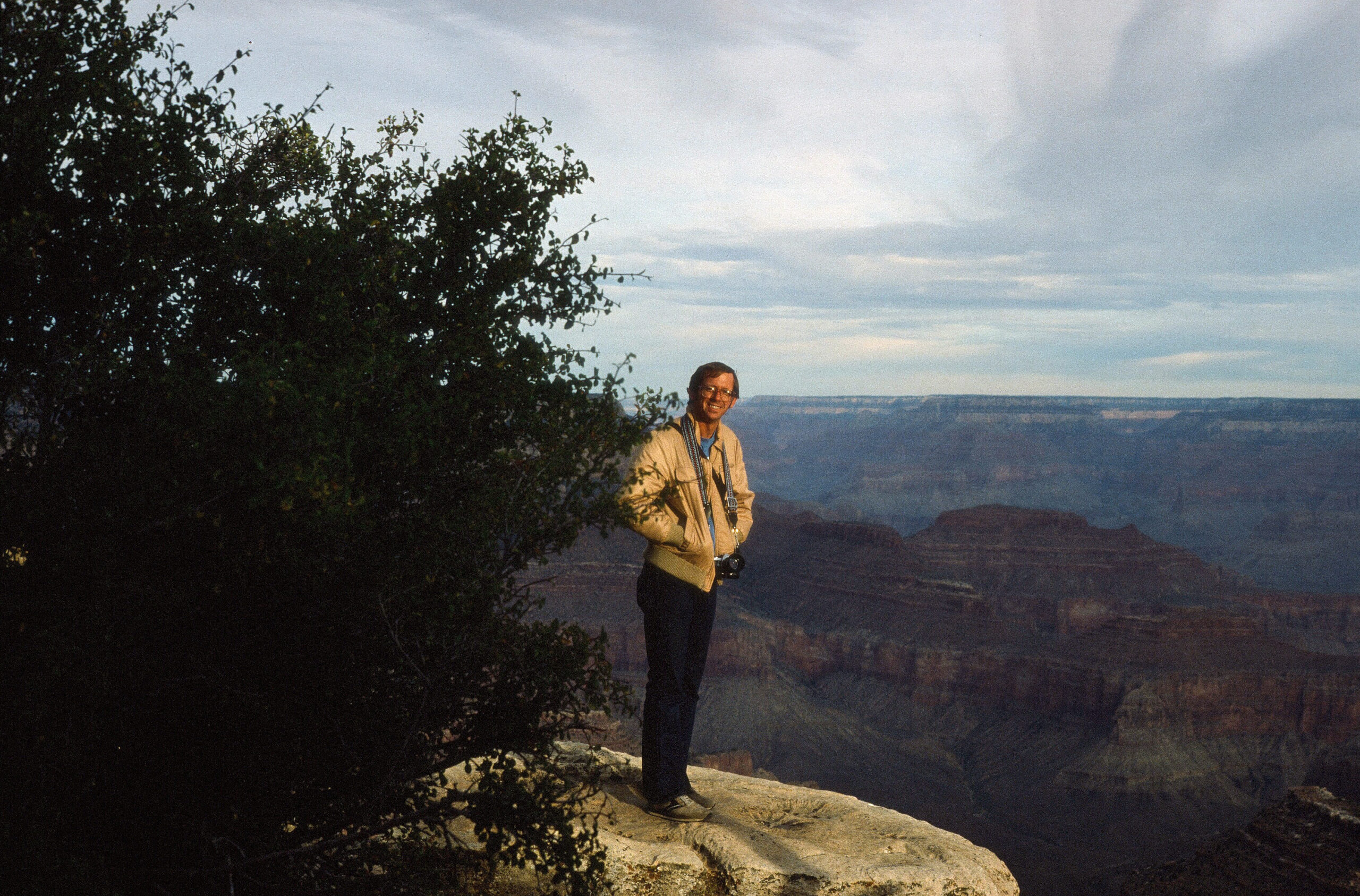
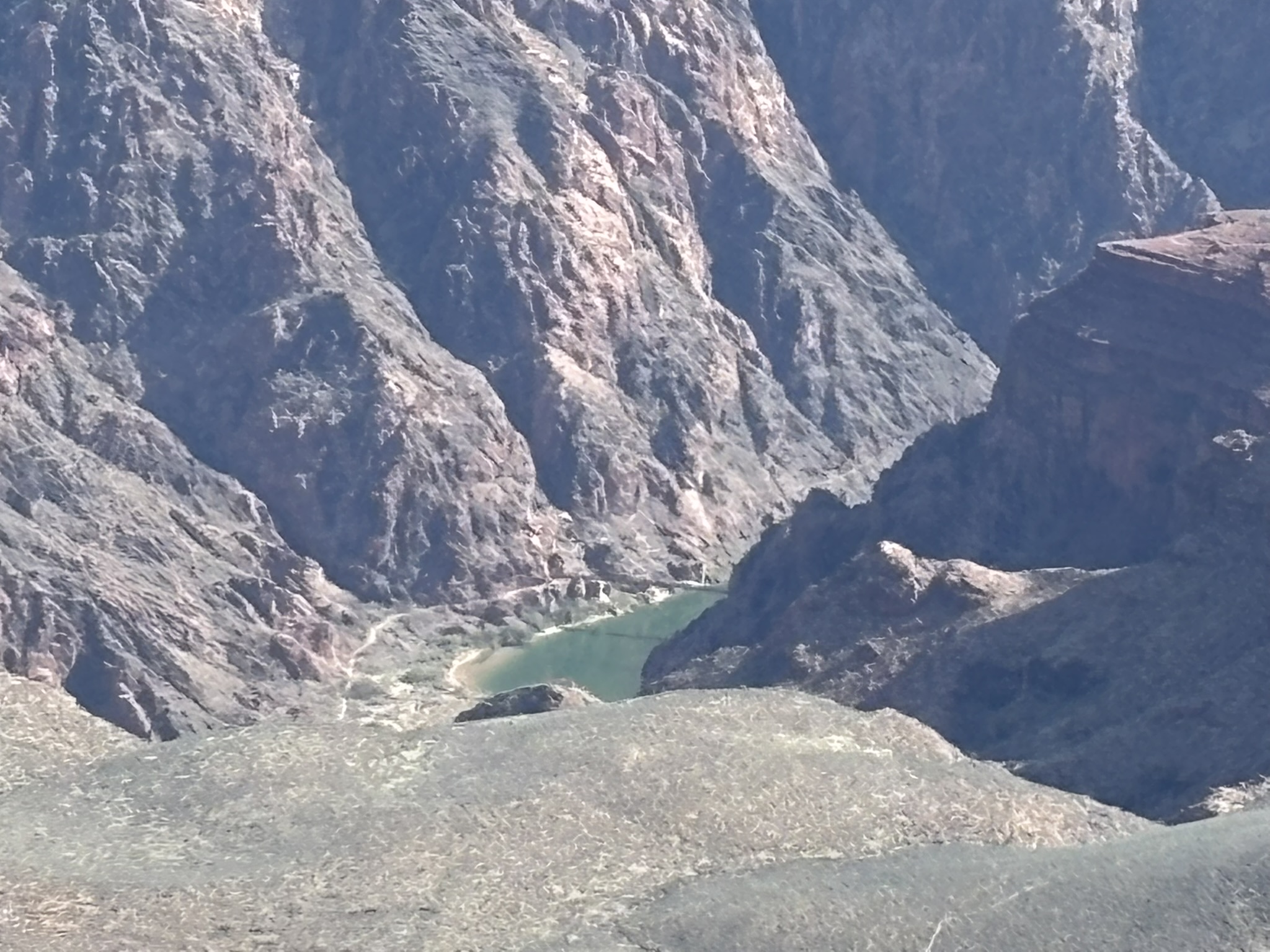
Before we get the morning sightseeing in, a couple of shots from 1981 (or so). This day started with a short hike down to the first tunnel on the Bright Angel Trail. We extended down to Indian Gardens and back. While we did not make the river, this would be the first of several Canyon hikes with various groups of friends over several years.
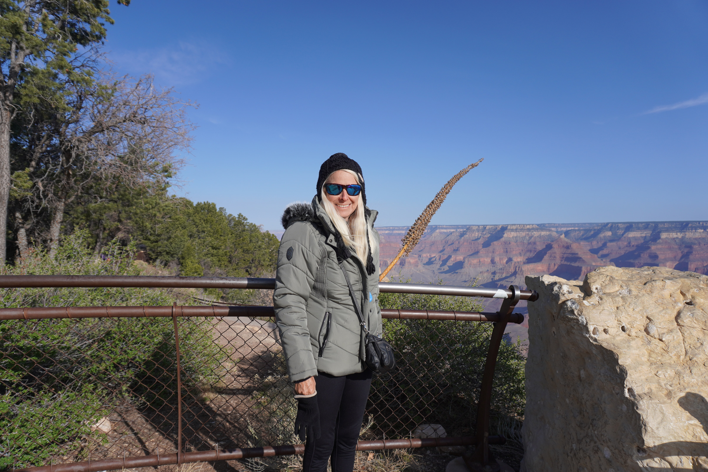
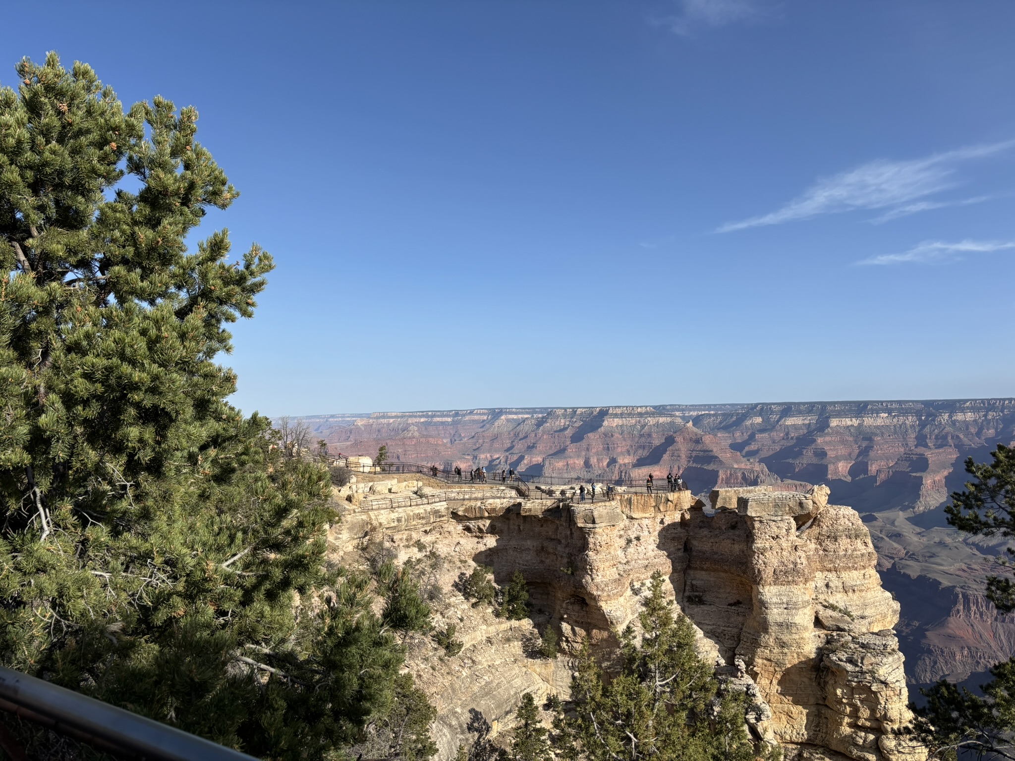
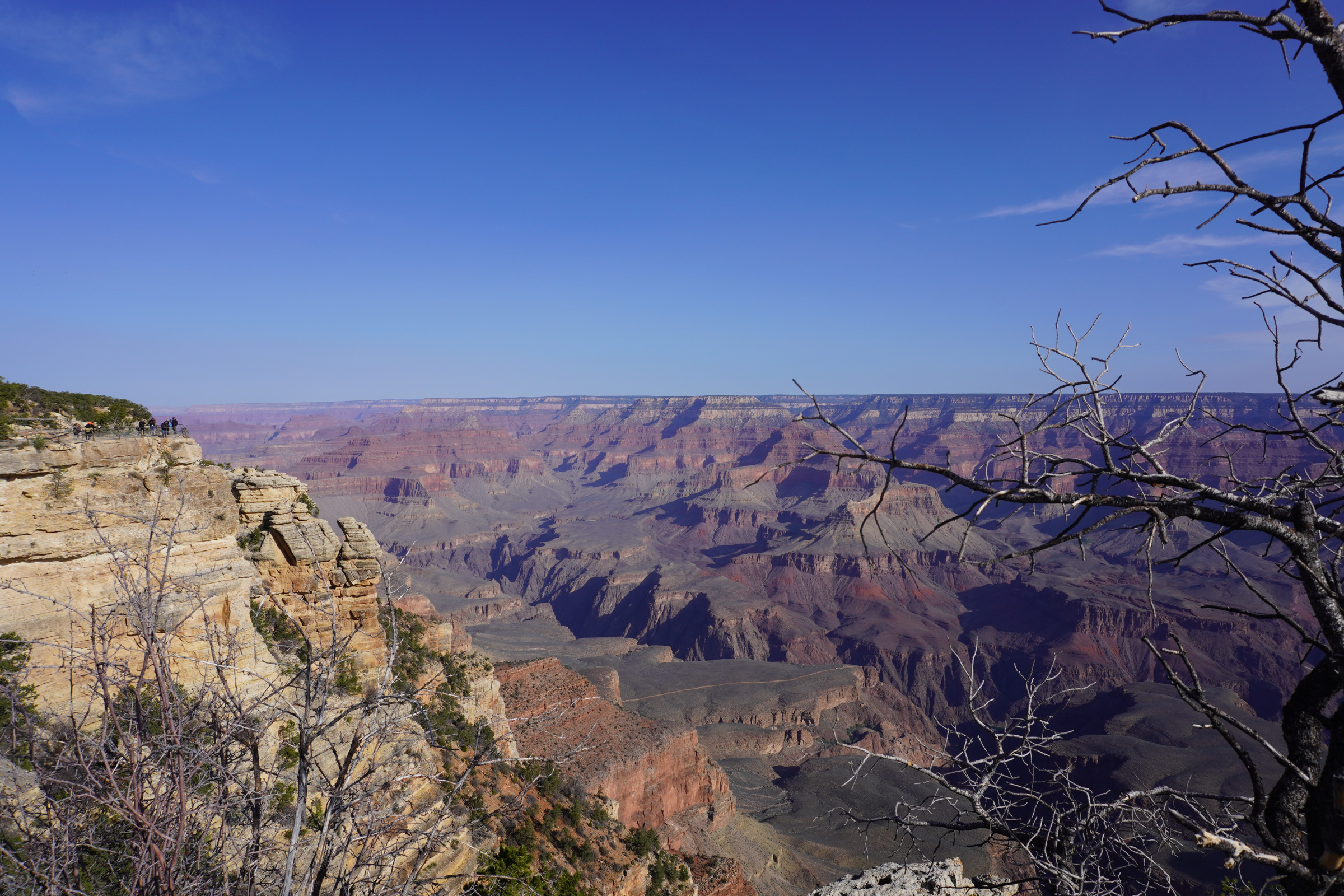
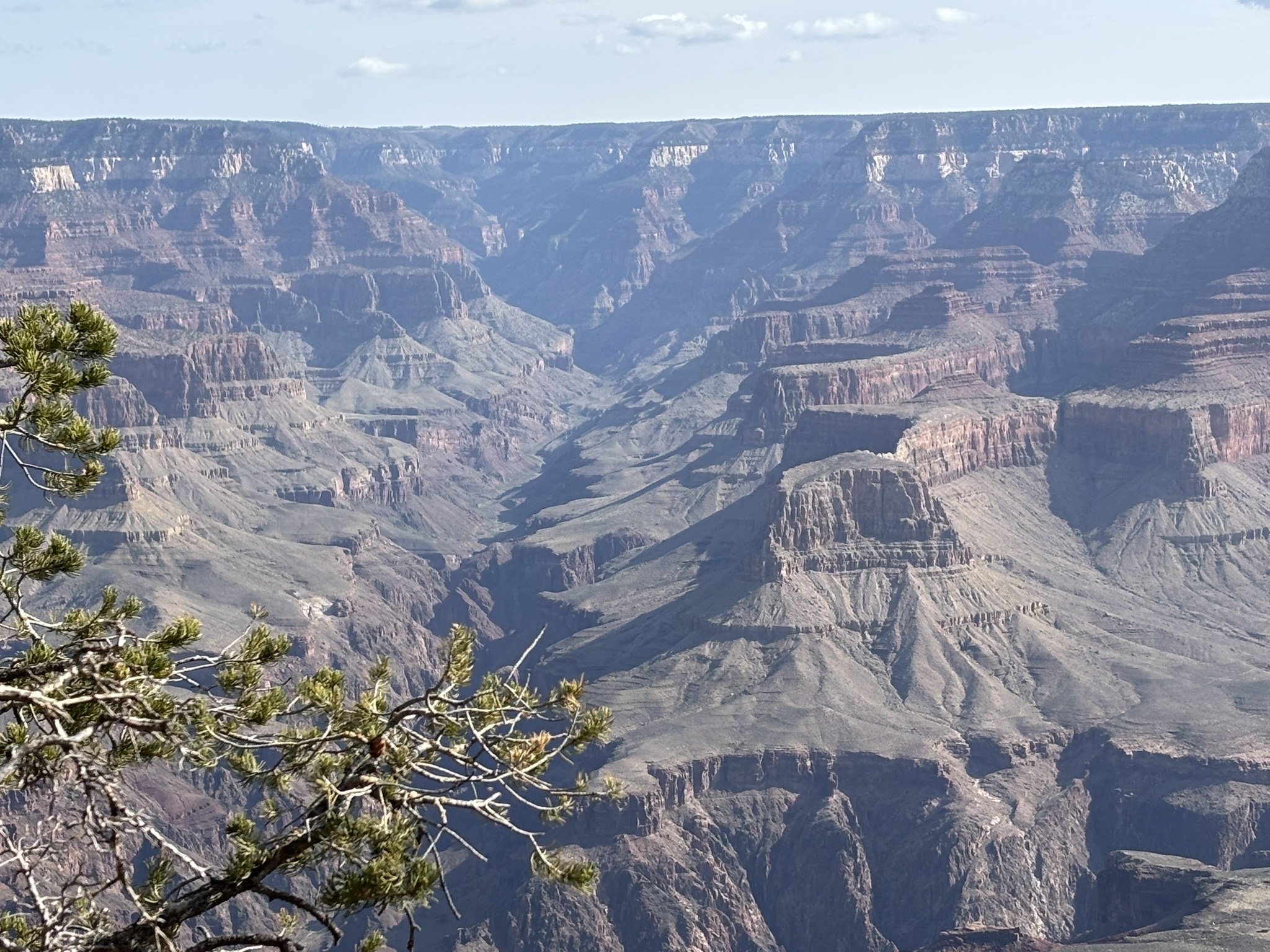
After a very restful night in the woods at the Yavapai, we brewed up some morning coffee and got our stuff together for the ride back home… but first… A hike along Rim Trail and pictures with a stop at the geology museum and then ending up at the Visitor Center and bookstore.
After a week of National Parks with magnificent scenery and accommodations, we pointed westward and took I-40 toward Needles, California hoping to see Snoopy’s brother Spike. Just before Needles, we turned south on US 95 and then through the desert back home. Another amazing adventure!
Posted inGeology, Travel and Scenery|Comments Off on Montrose, Co. and Grand Canyon, Az – March 27 – March 28, 2025
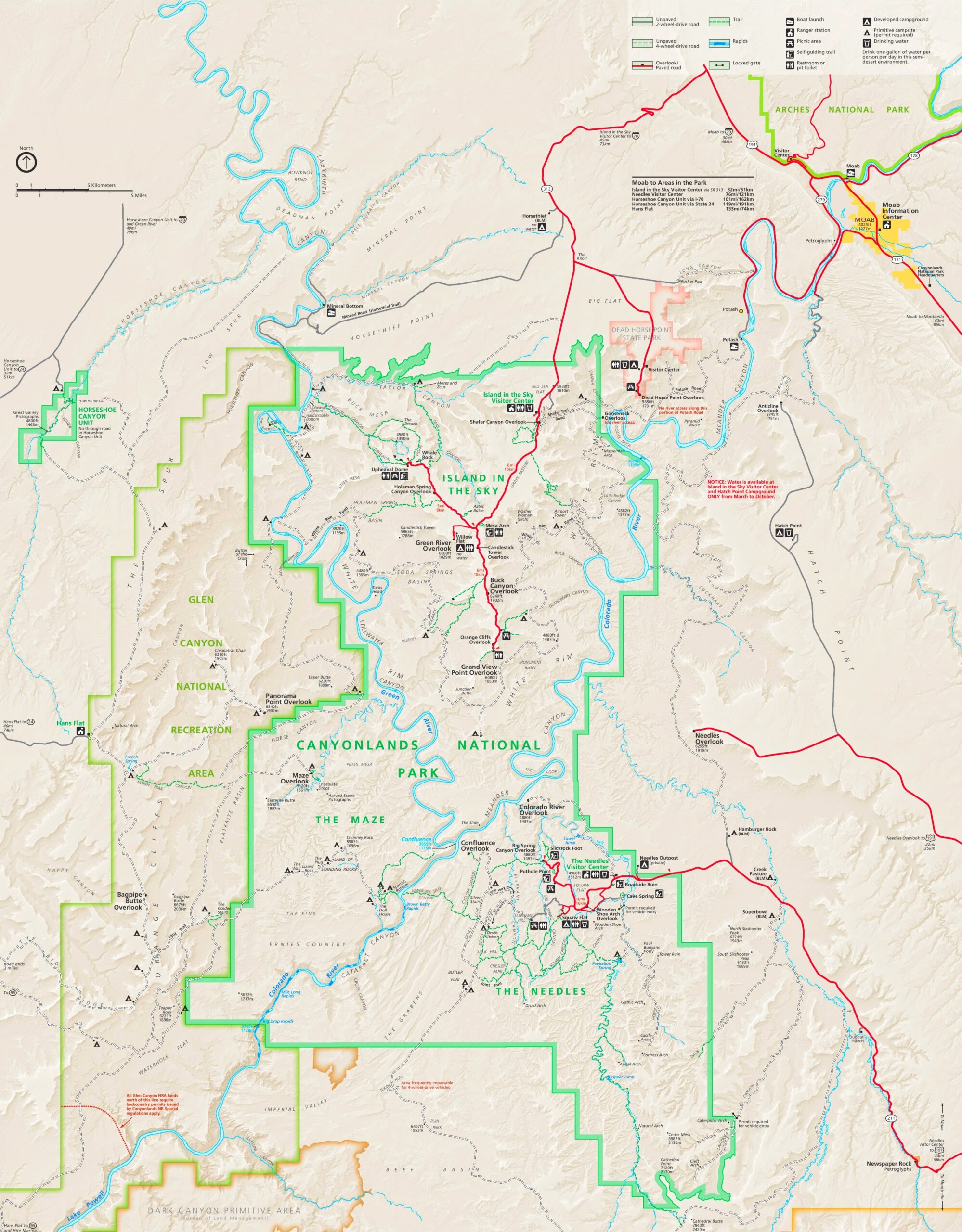
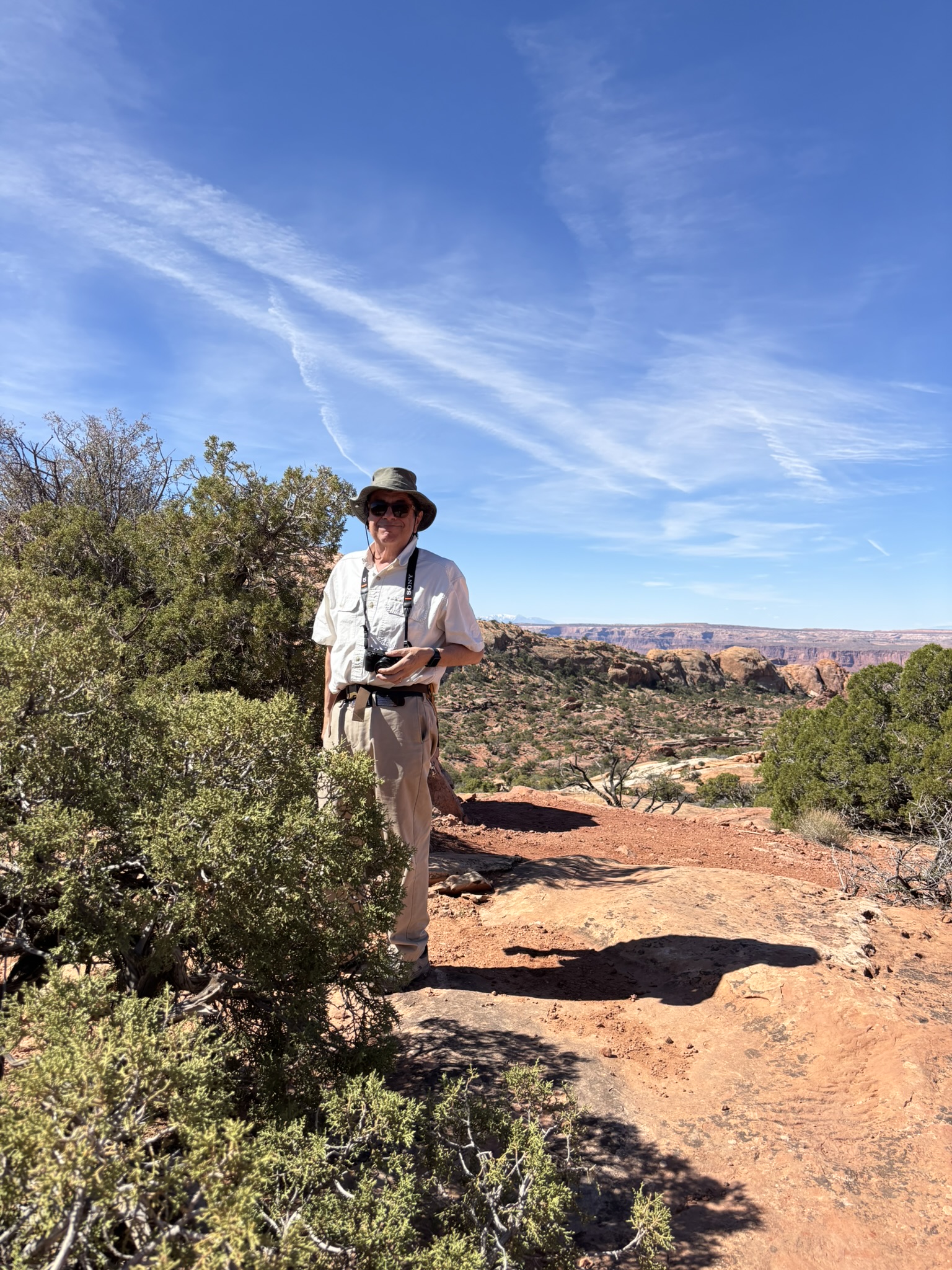
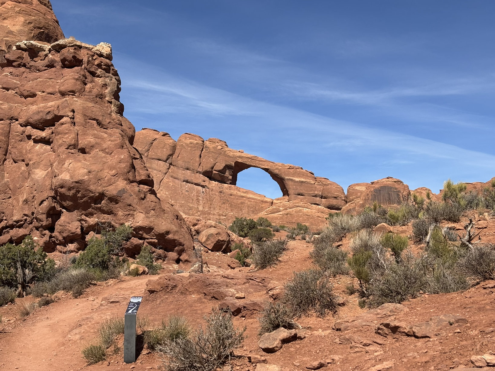
We were not really sure what to expect at Canyonlands. After two days in the relatively compact area of the visually stunning Arches NP, we were heading for a park so large that there are three different areas of the park. Add to that, adjacent to Canyonlands to the west and southwest is the Glen Canyon National Recreation Area.
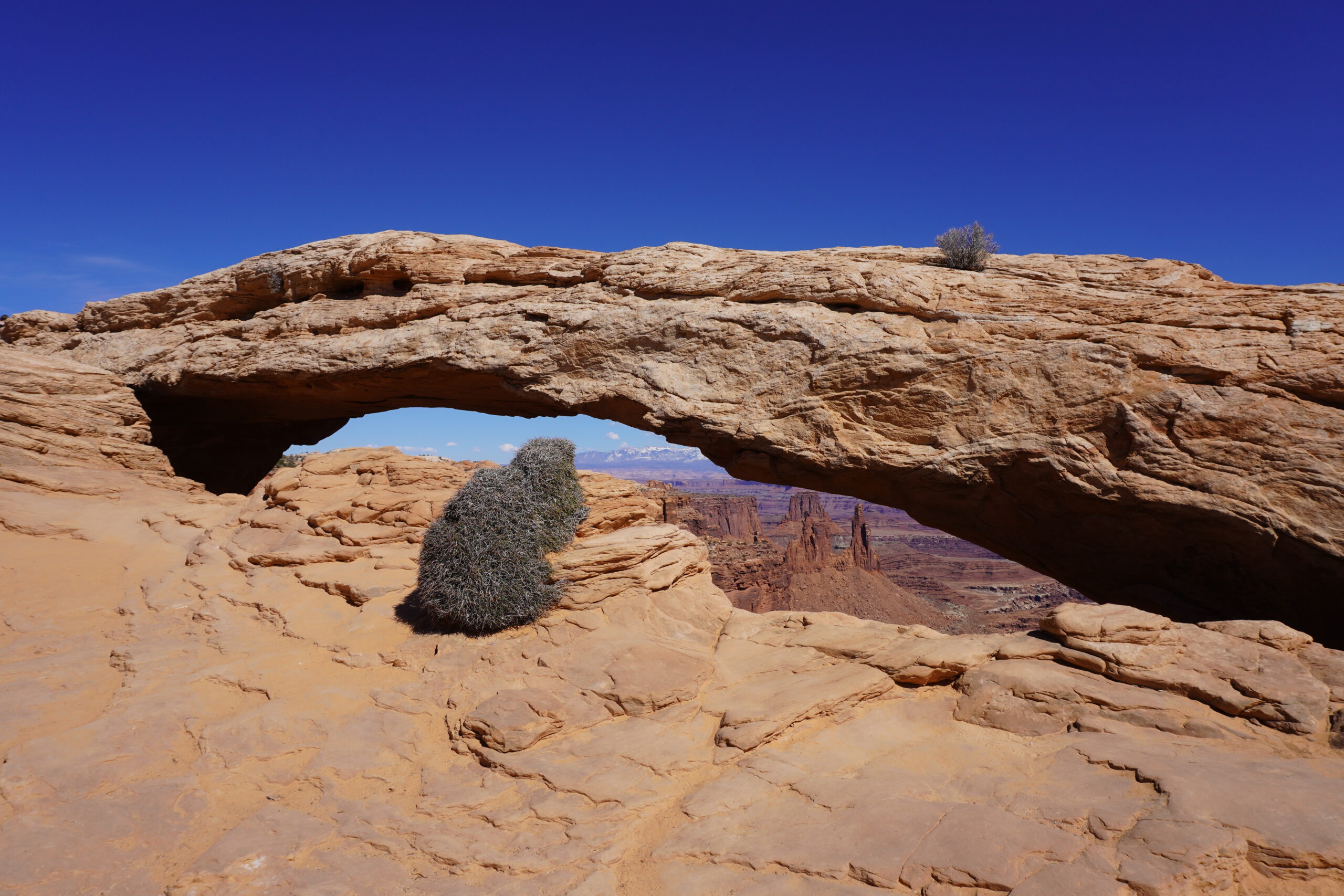
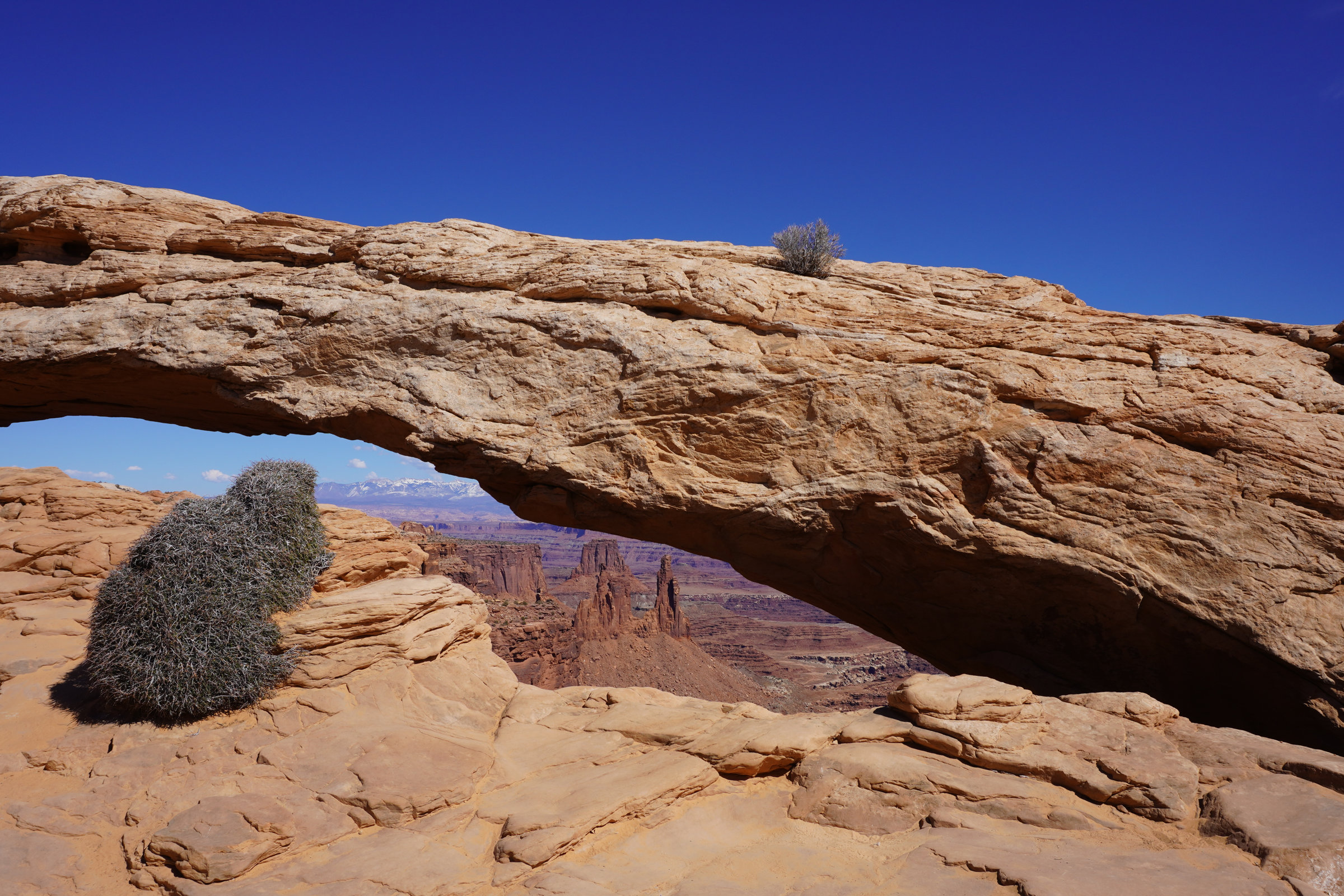
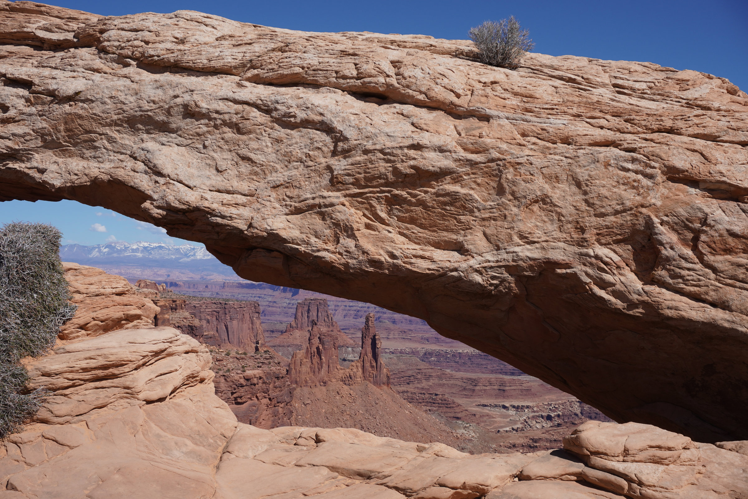
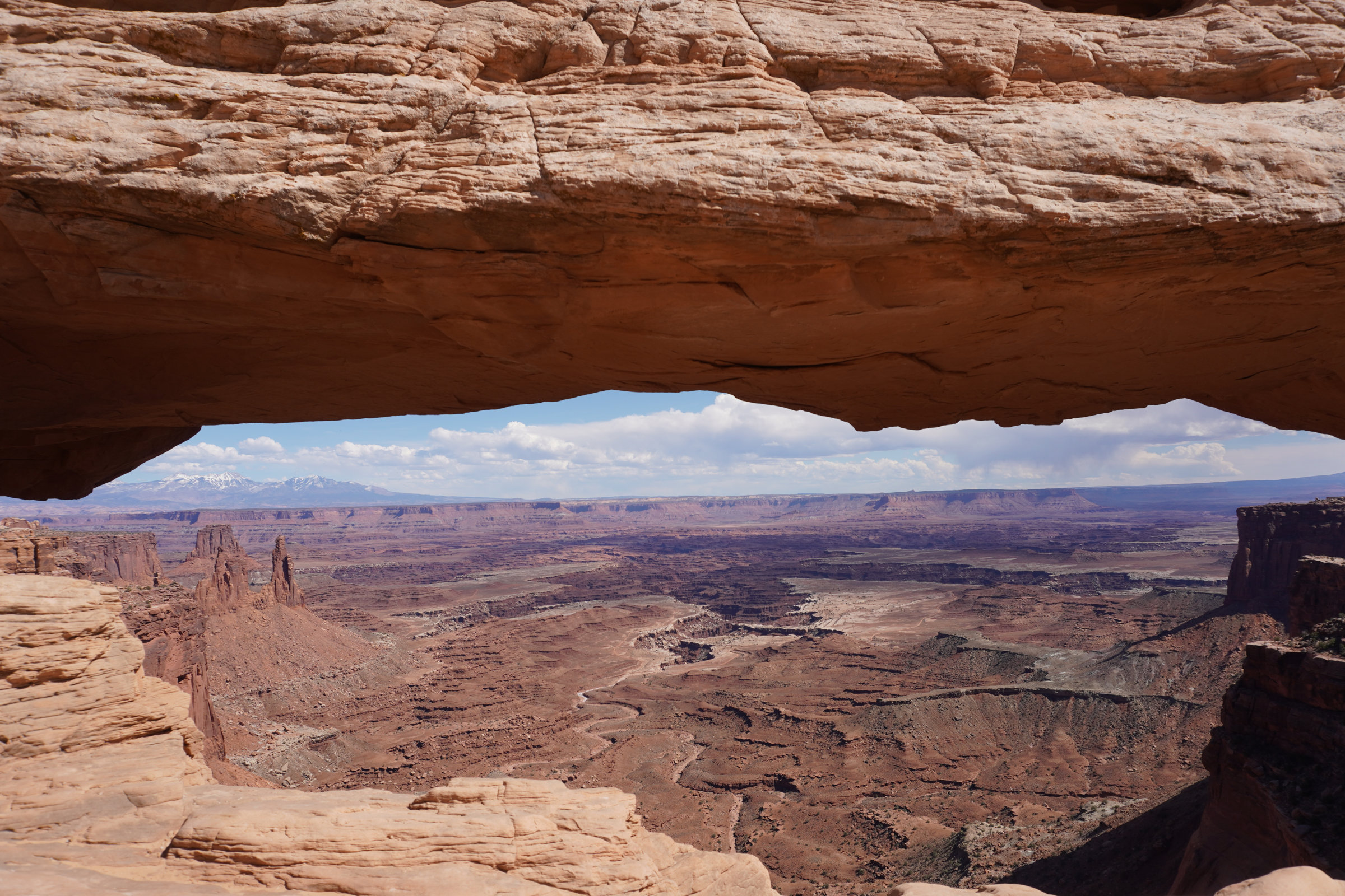
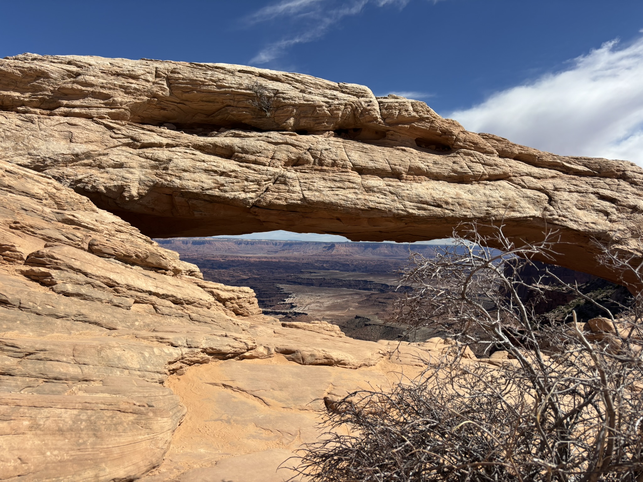
We chose to visit the Island in the Sky portion of the park, mostly because it was the easiest access from Moab, we wanted to see Mesa Arch (title photo above) and in looking at the maps, the tortured paths of the Green River and Colorado River and the canyons that they cut as they flowed to their confluence just appealed to us from a scenic and geologic perspective.
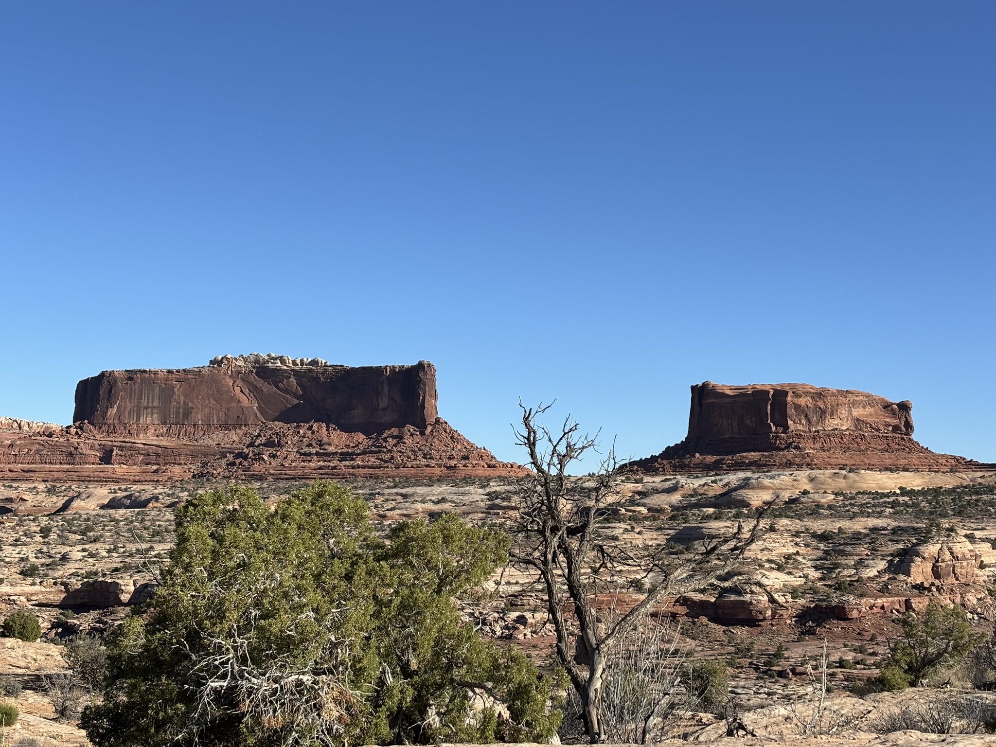
On the ride over to the park, we happened on Monitor and Merrimac Buttes. Geologically, these are primarily composed of the generally lighter colored Navajo Sandstone (183 million years ago (mya)) and overlying Entrada Sandstone (166 mya) which are horizontally bedded remnants of a now mostly missing, Jurassic Period sandstone plateau. Erosion removed the adjacent portions of the plateau leaving the buttes because they had more resistant caprock on top that helped protect them from erosion.
If your civil war history is a little dim, Monitor Butte (named after the Northern ship) is the one on the right of the picture below and Merrimac Butte (actually named the CSS Virgina, the Souths ironclad) is on the left of the picture. They fought to a draw at Hampton Rodes Virgina in 1862.
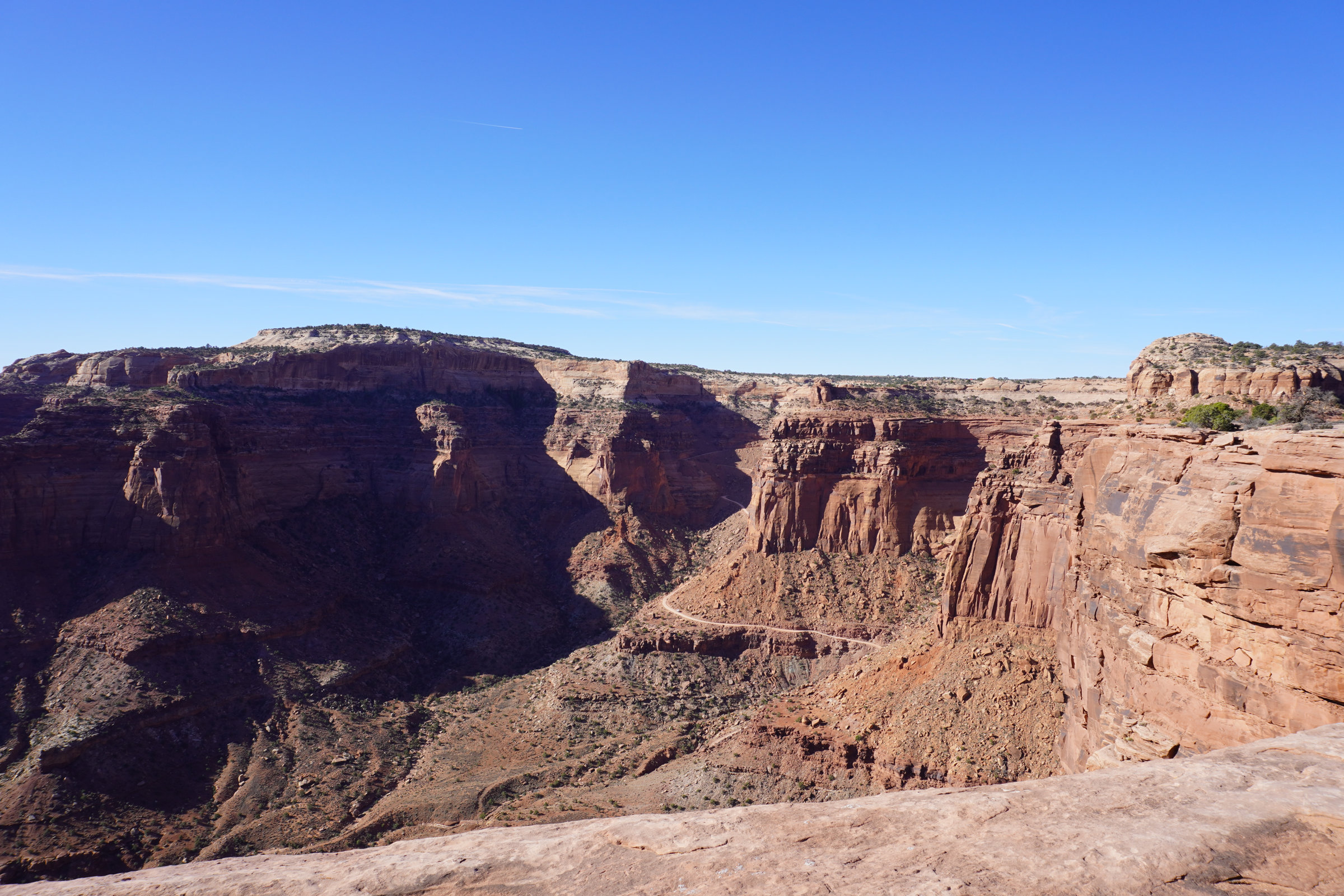
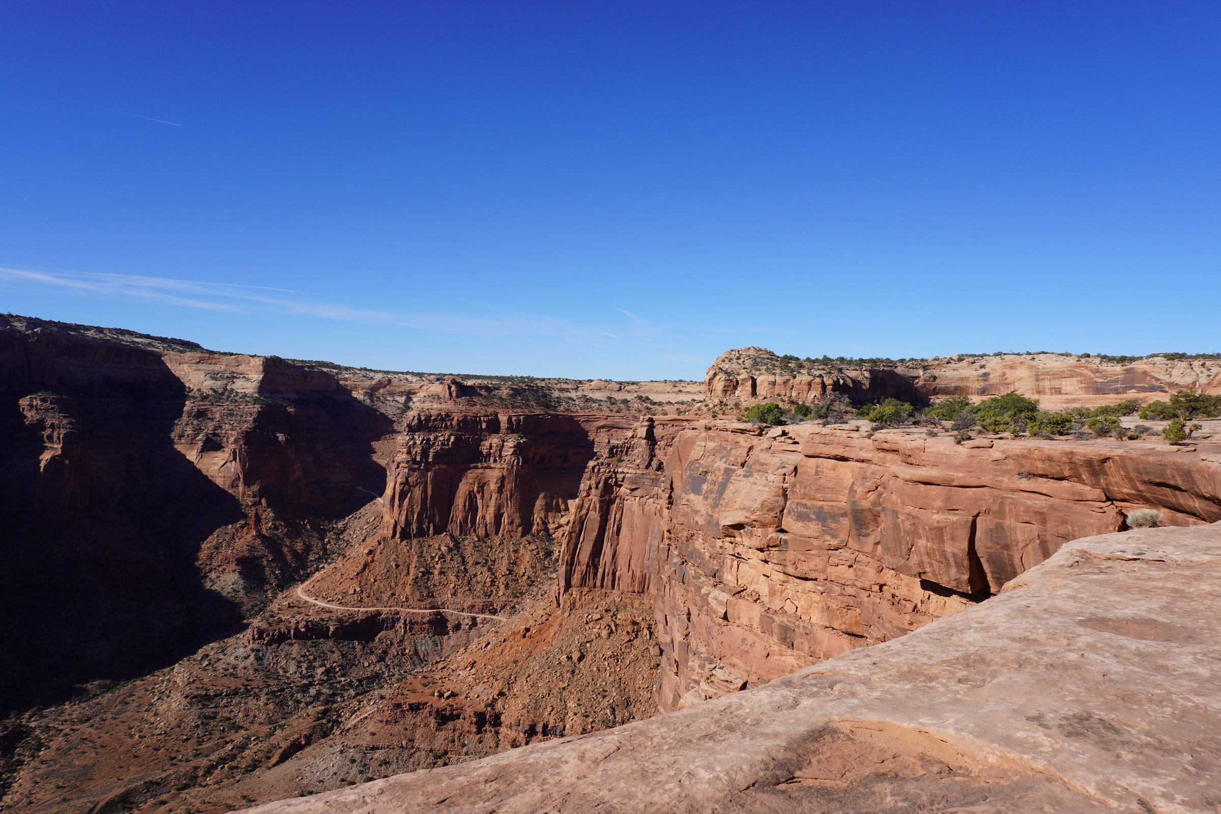
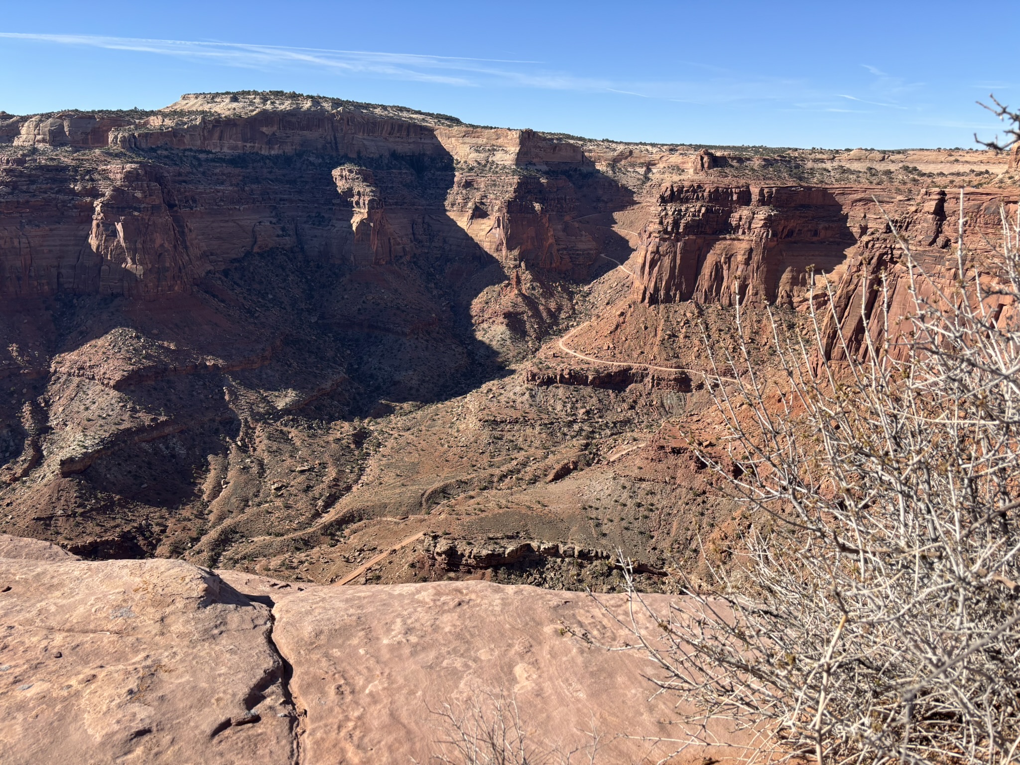
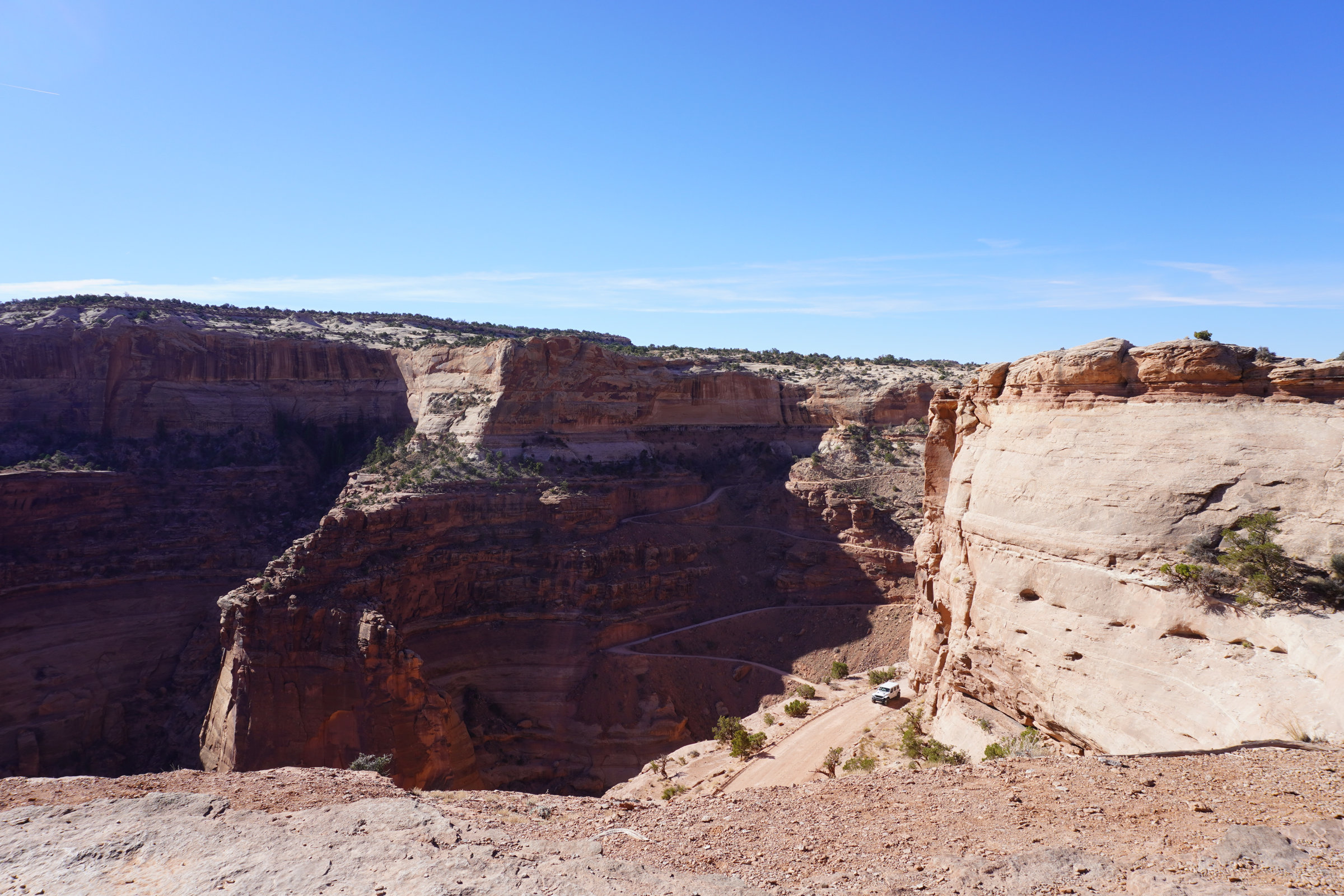
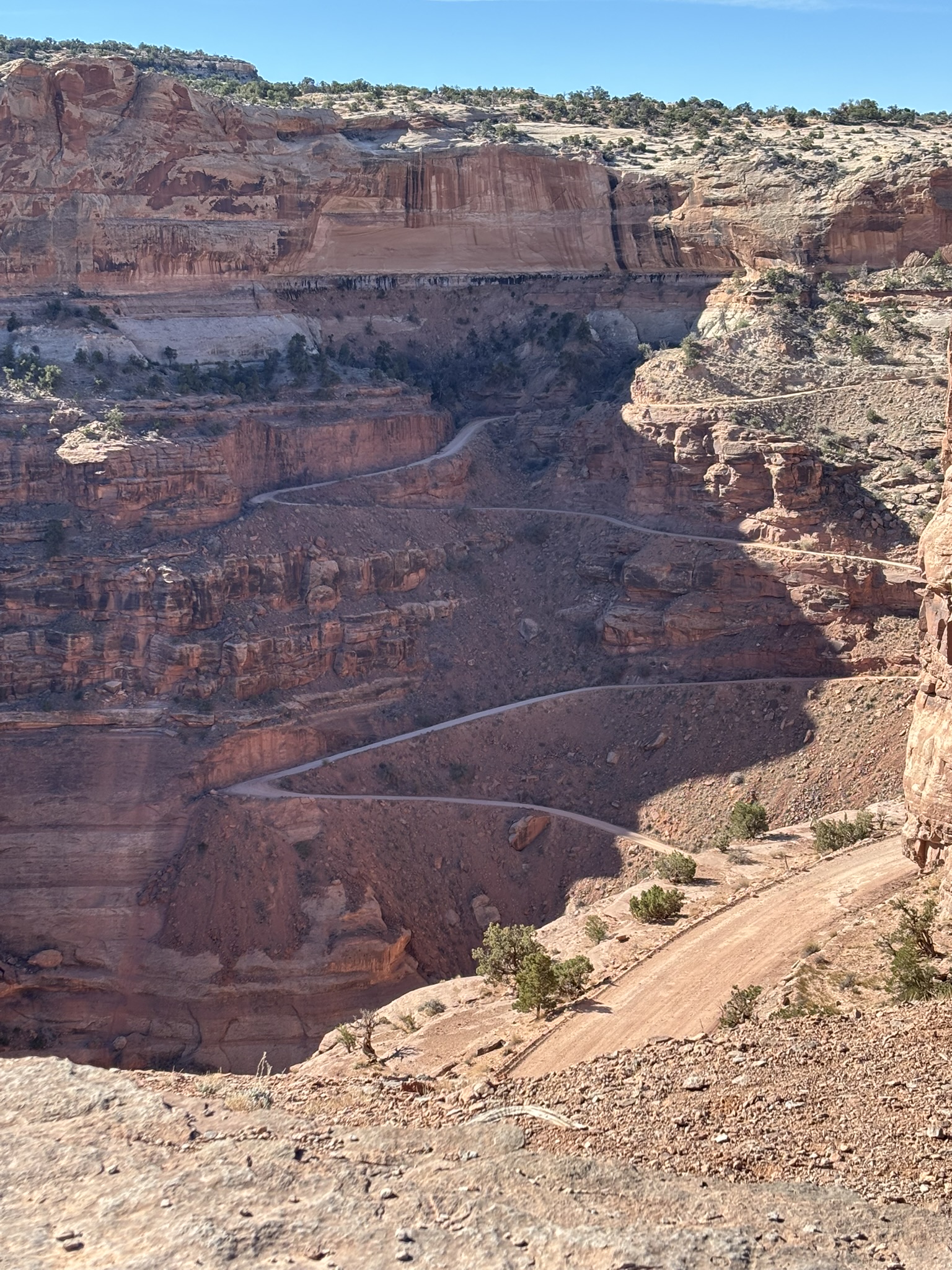
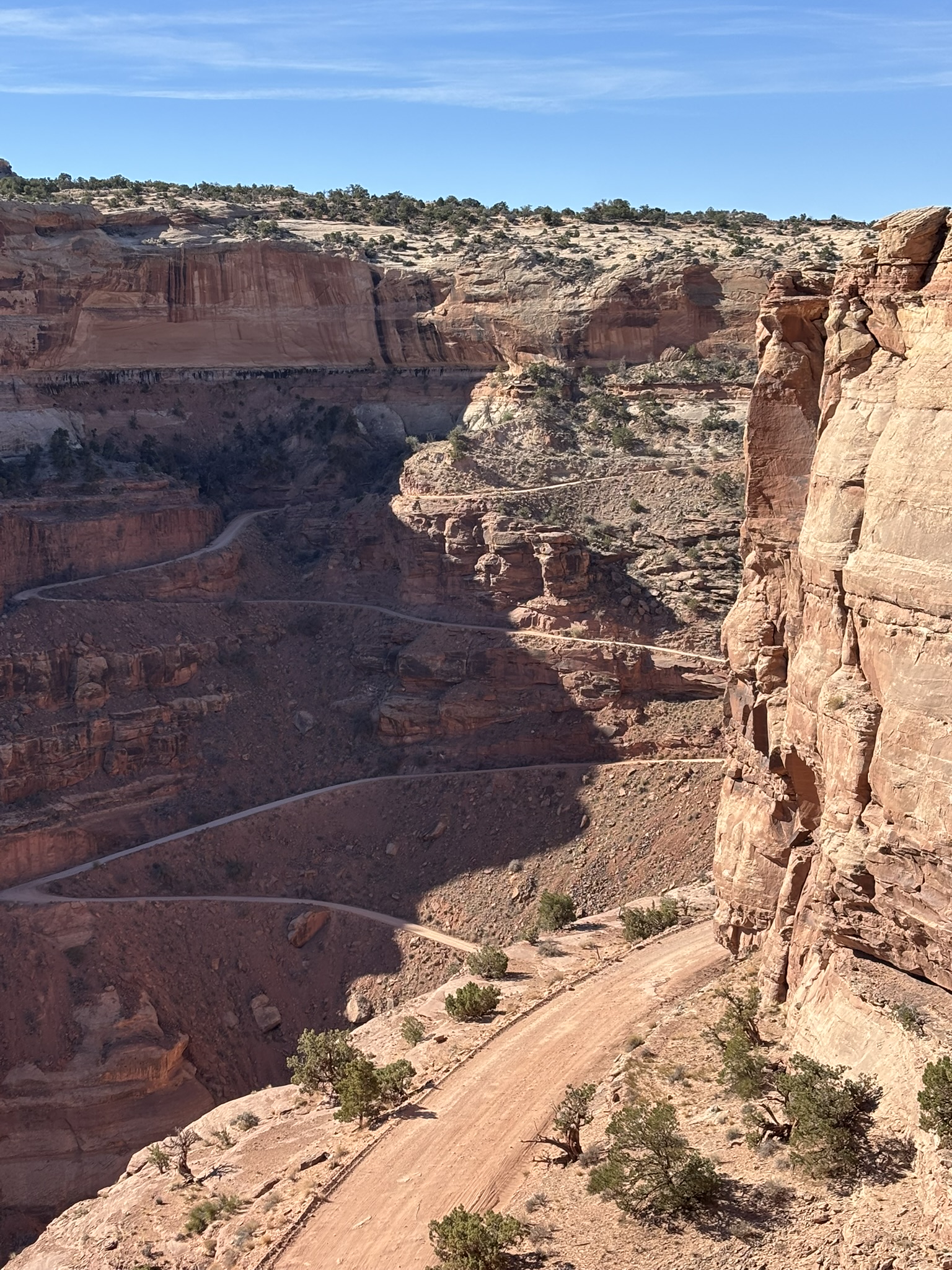
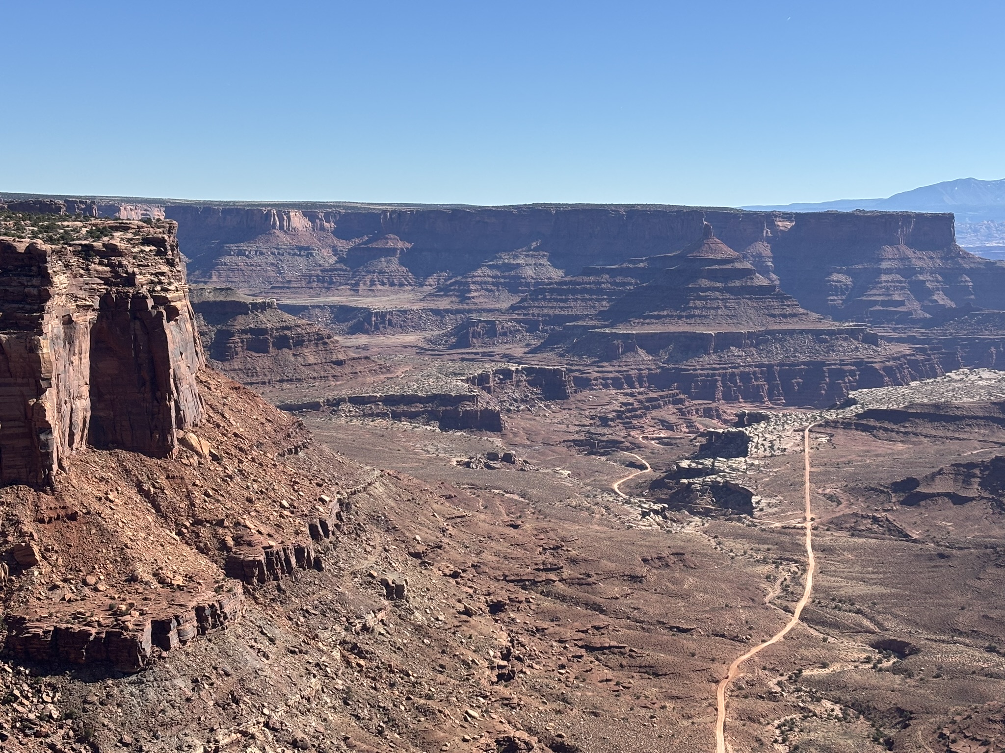
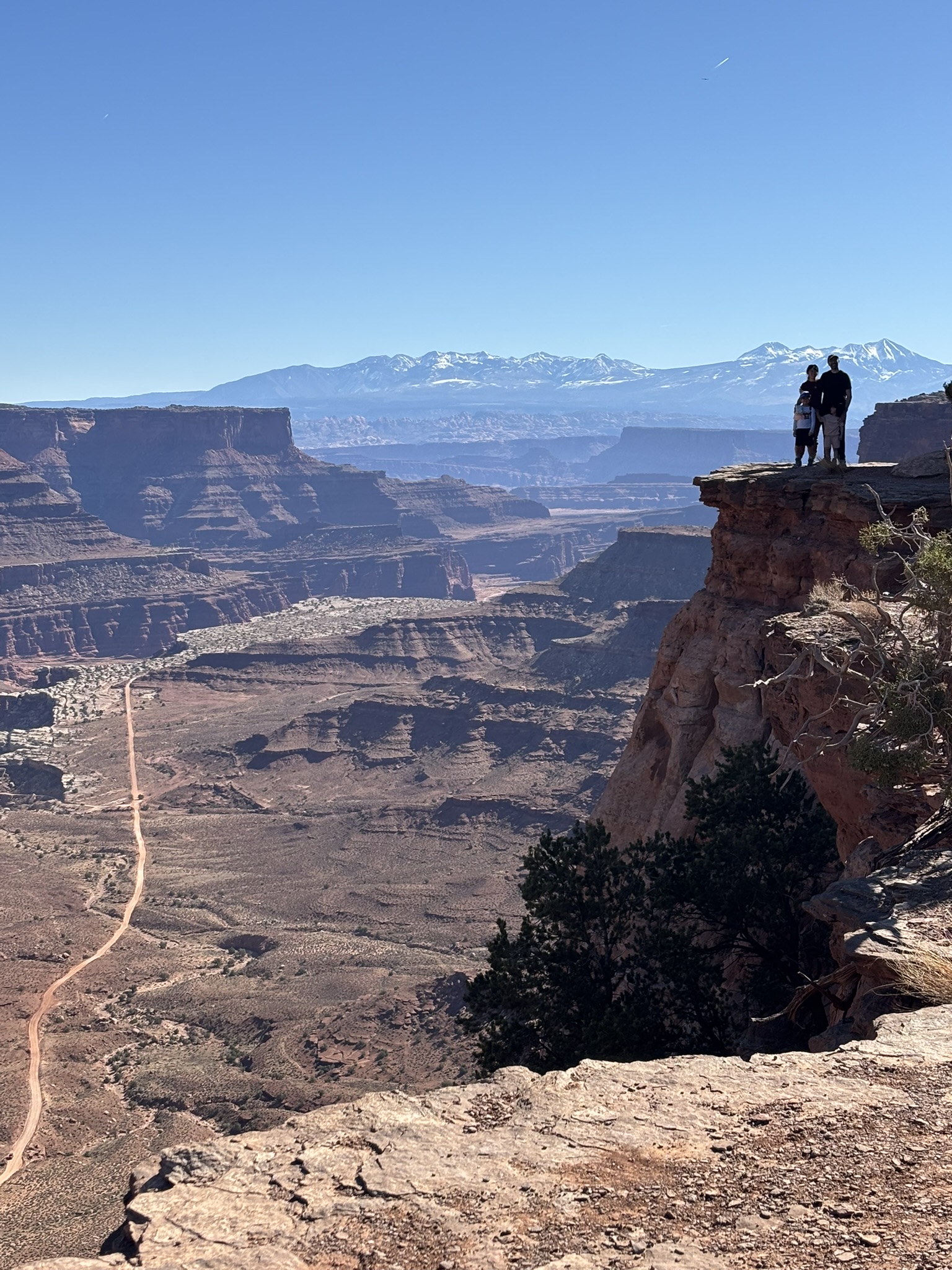
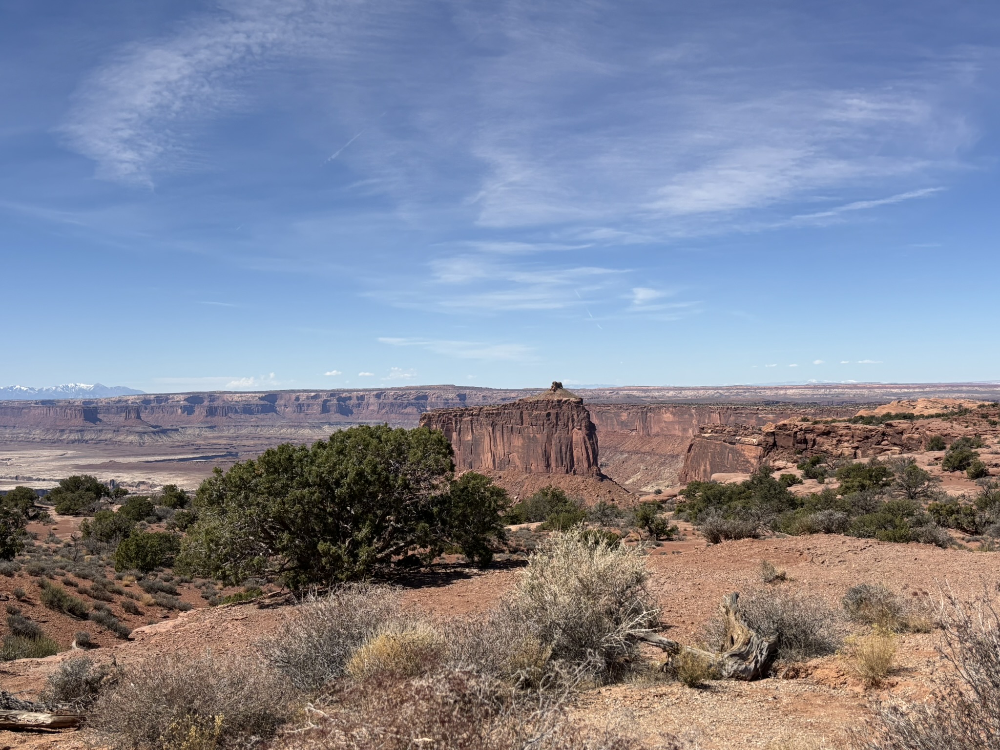
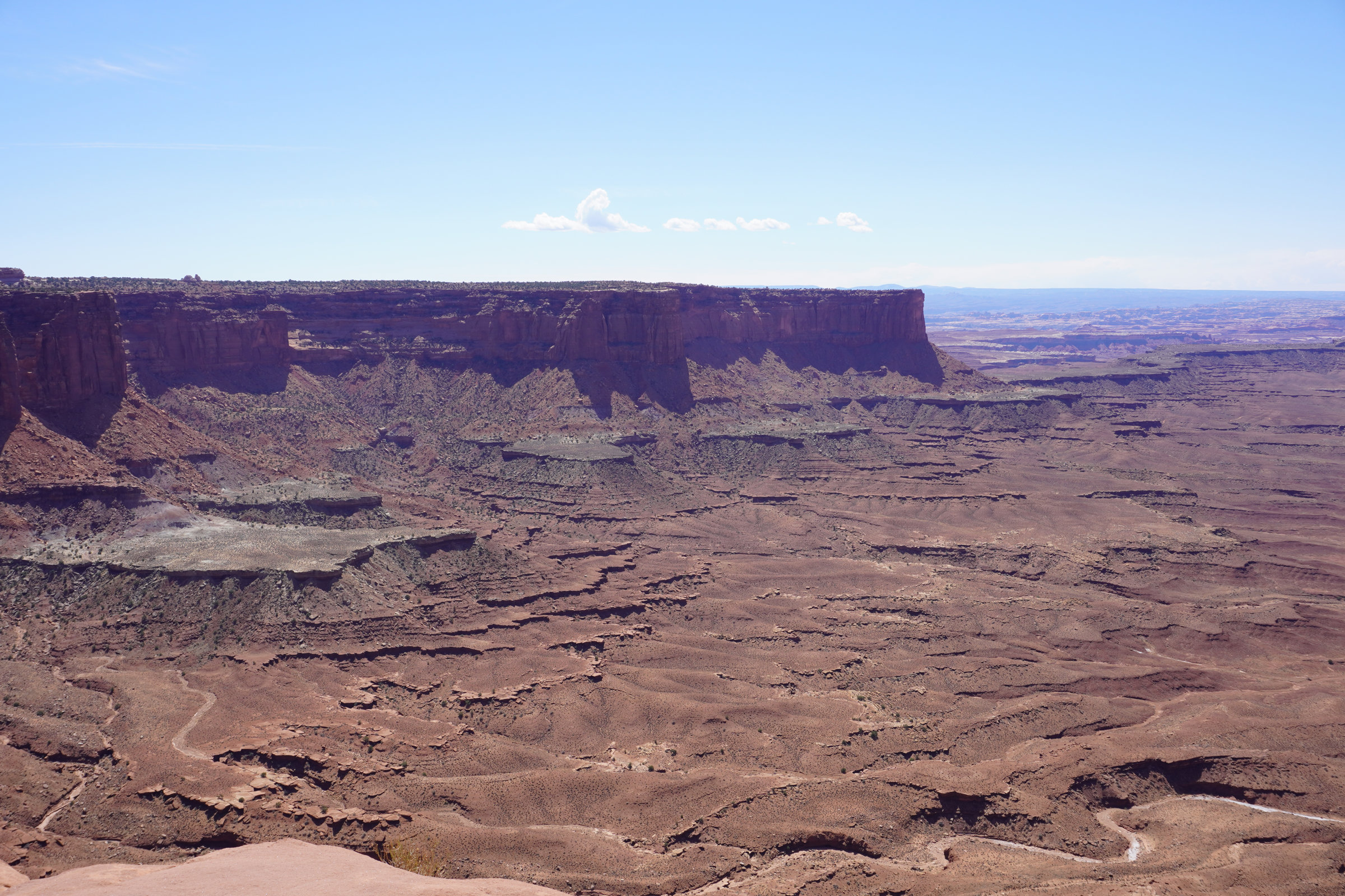
The Island in the Sky district of Canyonlands National Park sits on a single high mesa with cliffs dropping into canyons over 1,000 feet deep. Its geology is a premier example of layered sedimentary rock, shaped by erosion, uplift, and ancient rivers as opposed to the landscape of Arches NP which was primarily shaped by salt tectonics. On either side of the district, there are the deep canyons carved by the Green (west side) and Colorado (east side) Rivers exposing relatively flat lying sedimentary rock formations. As you enter the park on Utah State Hwy. 313, you are greeted on the left (east) with Shafer Canyon.
The Shafer Trail today is a relatively low-key dirt road that drops over 1,500 feet down into the canyons below. It was originally a cattle trail built by the Shafer family, who ranched the mesa tops and canyon bottoms in the early 1900s. The Shafer Trail allowed cowboys to move livestock from the mesa (Island in the Sky) down to water and grazing in the canyons below. Portions of the original route were so narrow and steep that cattle were lowered by ropes in some spots (sort of an odd mental visual!). During the Cold War uranium boom of the later part of the 1950’s, the trail was widened and improved into a jeep road to access mining claims throughout the White Rim and Moenkopi formations. Uranium miners needed a way to haul ore out of remote areas, and the trail connected these areas to Moab and the Atomic Energy Commission processing facilities (the Moab mill of blog fame). The switchbacks in the road were blasted and graded during this period. After Canyonlands became a park, this road became a scenic backcountry road best navigated with a high clearance 4-wheel drive vehicle (probably most family sedans could navigate it in the cooler season, and there are no charging stations in the canyon) unless heights and significant vertical exposure bother you. We did not have time to run down and back and still see what we wanted to see. But this and the White Rim trail (a 100-mile shelf road that is a 2 to 3-day trip will be on the list for the fall).
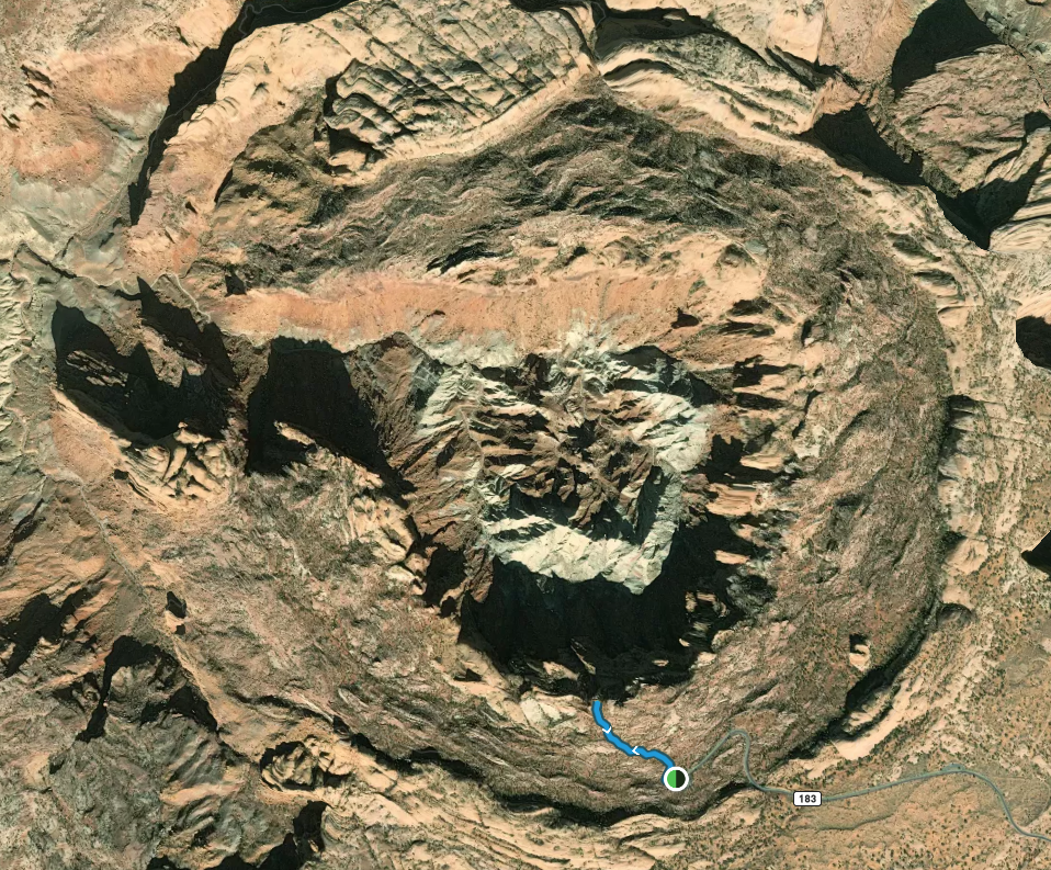
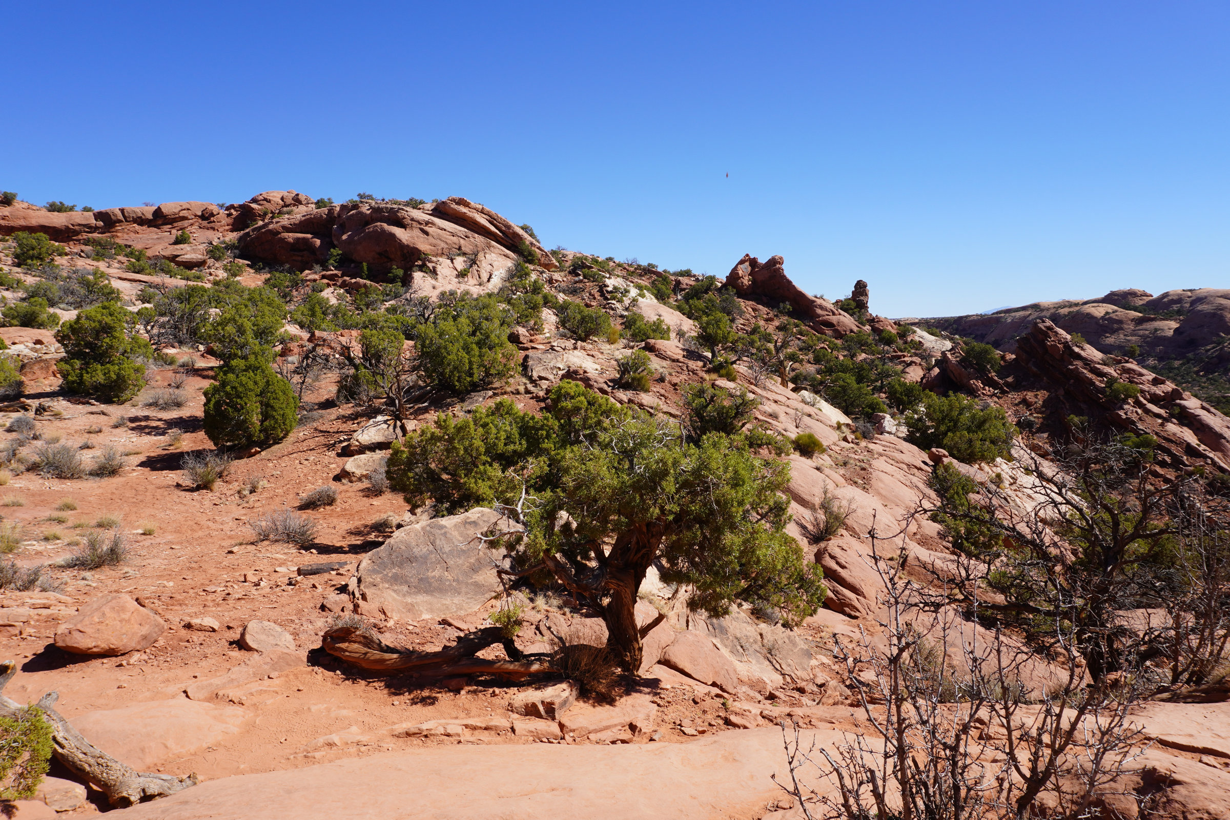
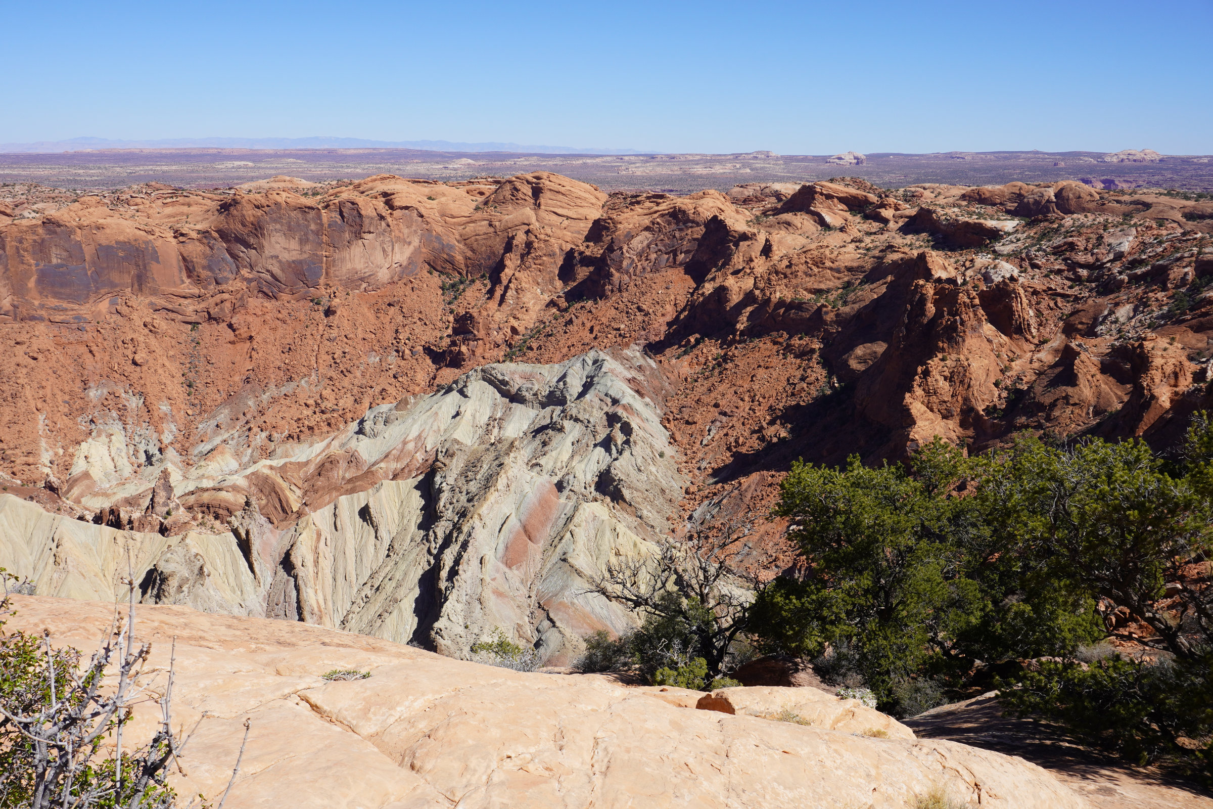
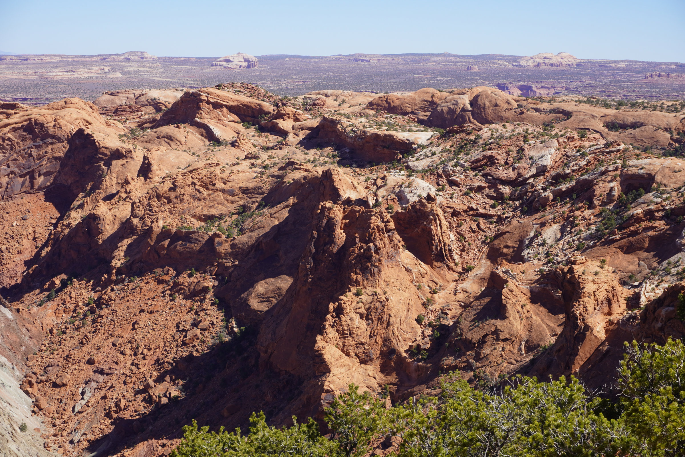
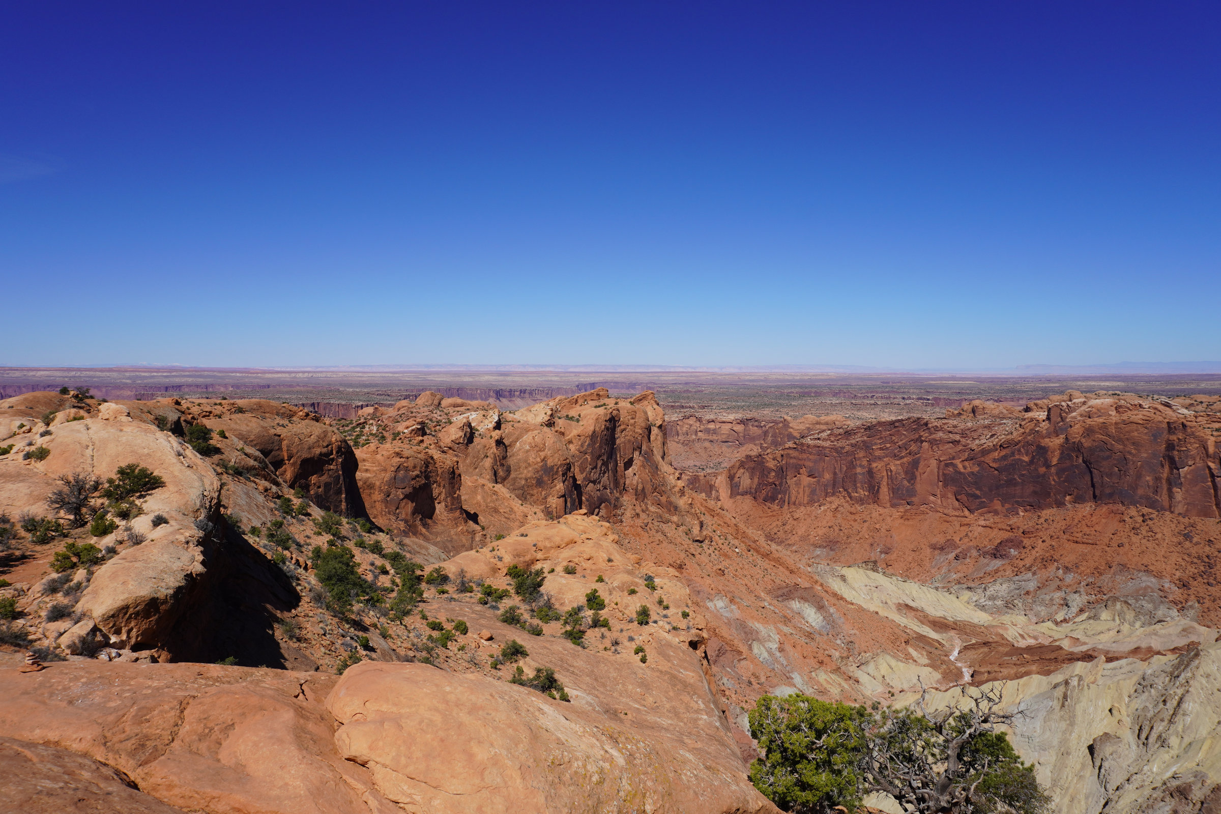
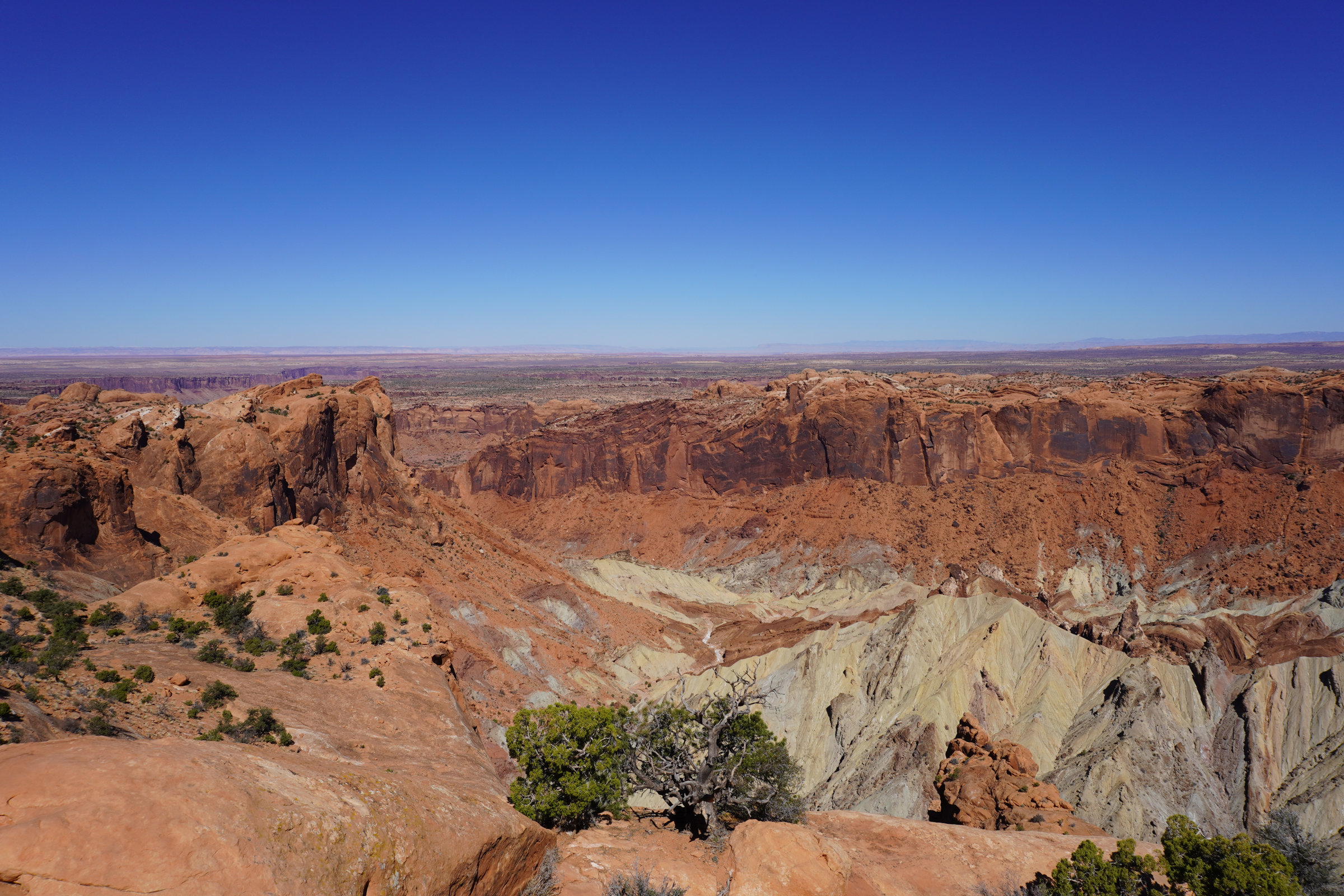
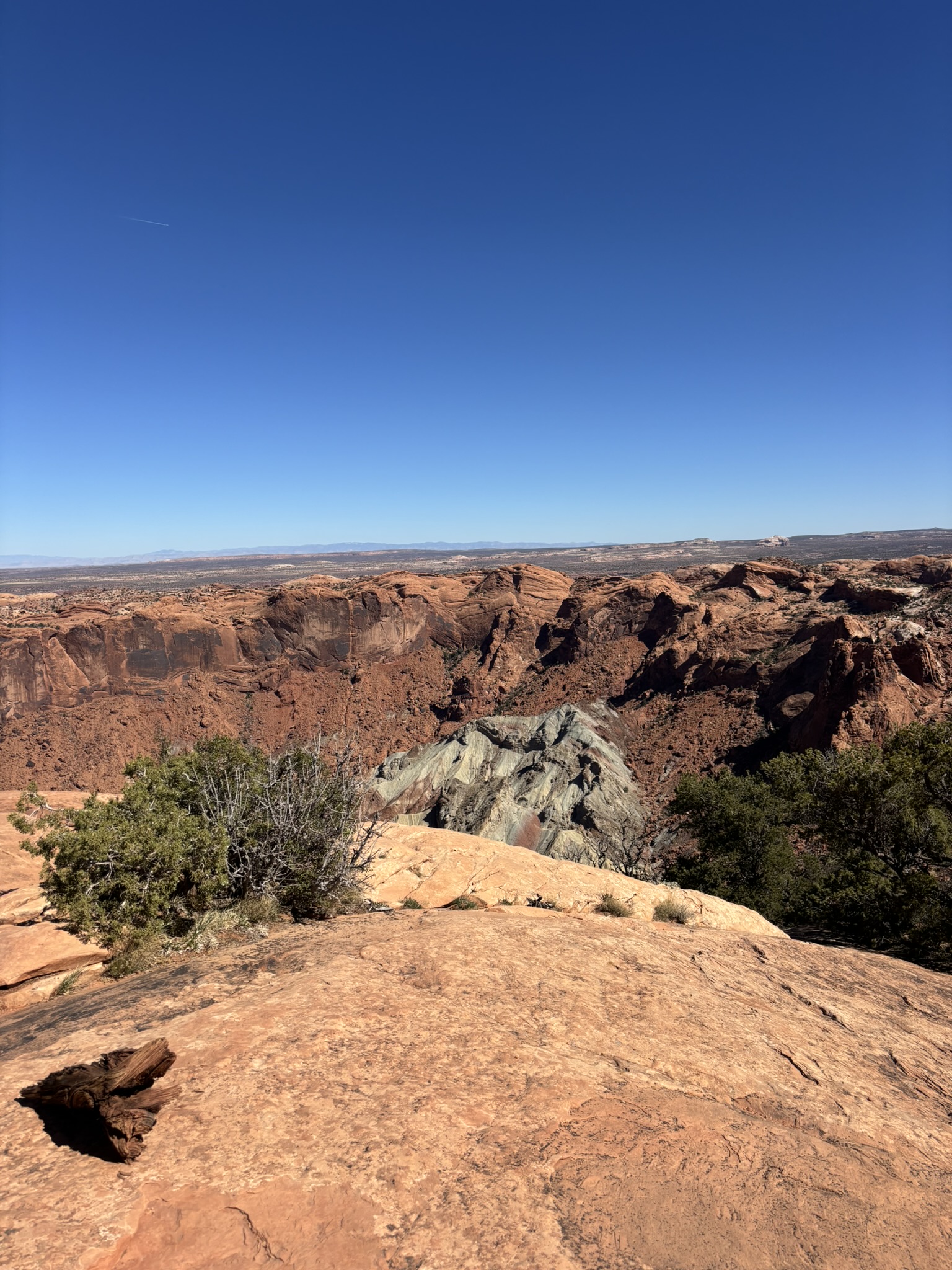
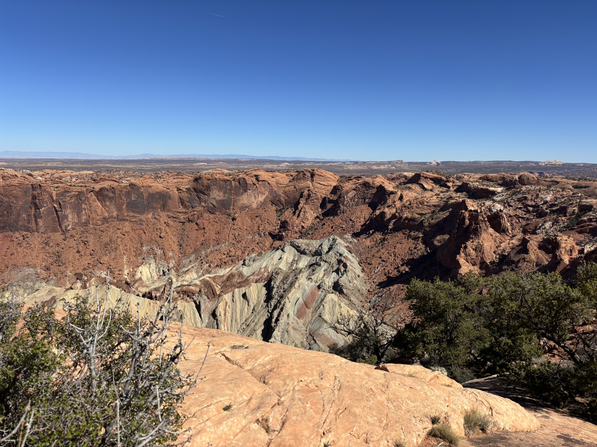
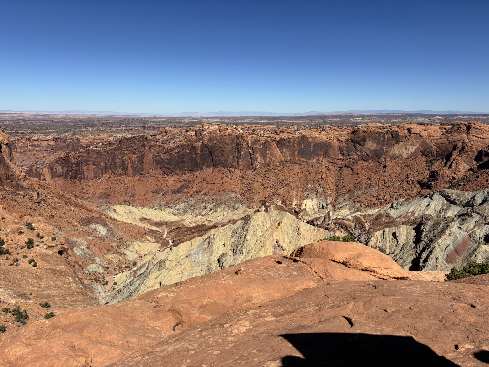
From the District entrance and Shafer Trail area we made our way to Upheaval Dome stopping at various overlooks and scenic views along the way. This was a feature that for us was totally unanticipated and unknown until our stop at the park entrance and review of the map. A relatively short (.75 mile), 114-foot elevation gain trail led to what can only be characterized as a massive circular structure that sharply contrasts with the surrounding flat-lying sedimentary rock of the Colorado Plateau. The aerial photo below (North is at the top of the picture) looks down on the feature which is approximately 3-miles in diameter and 1,000 feet deep.
The older theory is that it is a Salt Dome (back to Salt Tectonics). In this theory, our old friend the Paradox Formation salt layers (deep underground) slowly rose, pushing overlying rock upward in a dome shape. Over time, erosion removed the overlying layers and collapsed the dome’s center. This theory is not crazy as it sounds, as there are locations in the Paradox Basin where other salt domes have been identified that have a very similar geometry as this. The newer theory is that it is an Impact Crater. It proposes that Upheaval Dome was formed by the impact of a meteorite, fracturing and uplifting rock in a circular pattern. This theory has gained traction because shocked quartz (a microscopic feature only created by high-pressure impacts, (see dinosaur extinction) has been identified at the site and radial faulting and breccia consistent with other terrestrial impact sites has been found. This theory supports an age that the impact was in the mid to late Jurassic Period around 170 million years ago. The gallery below includes some ground level photos of Upheaval Dome. I like the meteorite theory because it was done and done. No long-term slow moving geologic processes. Just a catastrophic kaboom. Not here this morning; here this afternoon!
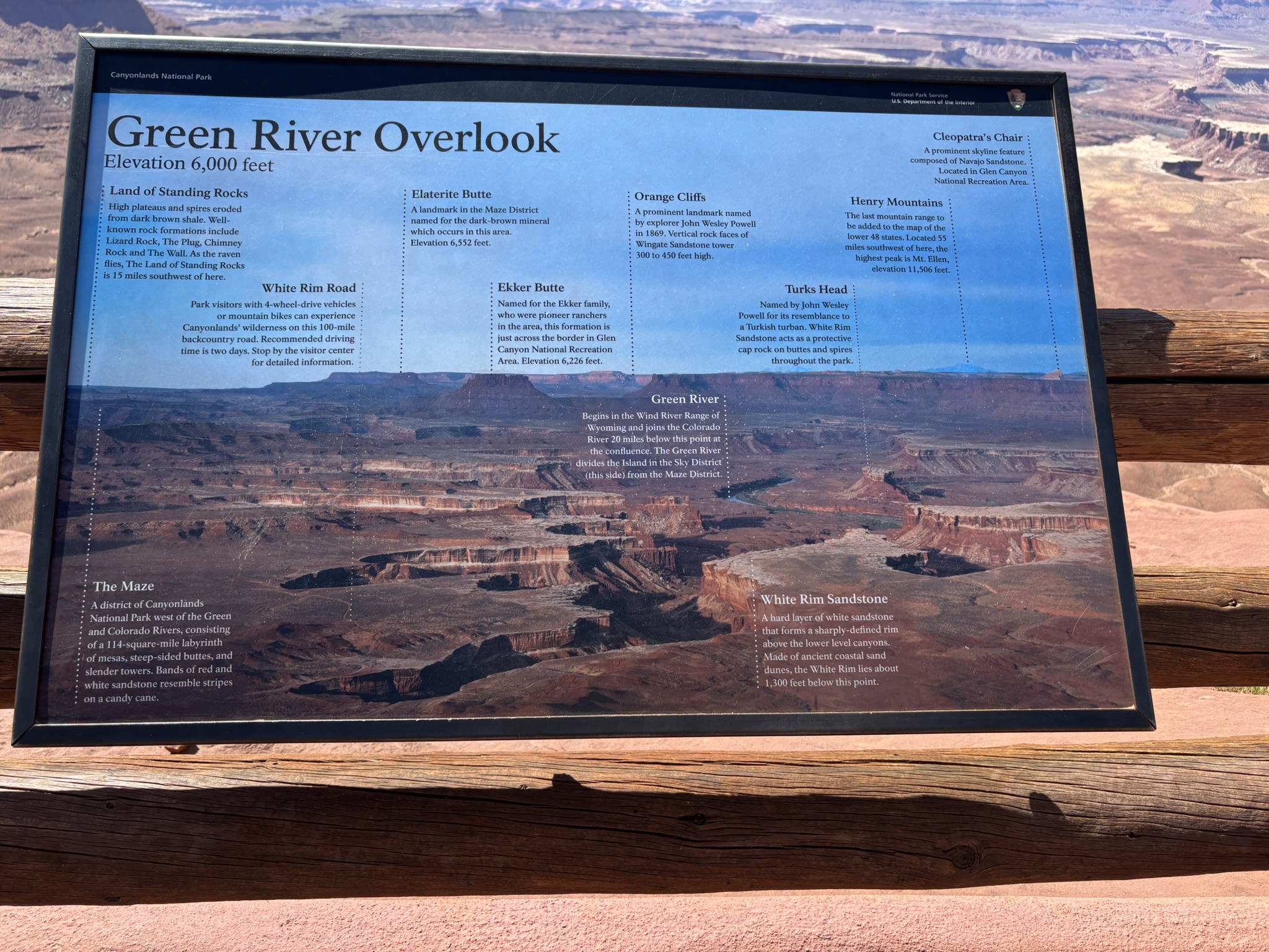
We headed back with the three major stops planned, Green River Overlook, Grand View Point Overlook (lunch) and Mesa Arch with a non-specified location for an ice-cold beer. Again, many stops enroute.
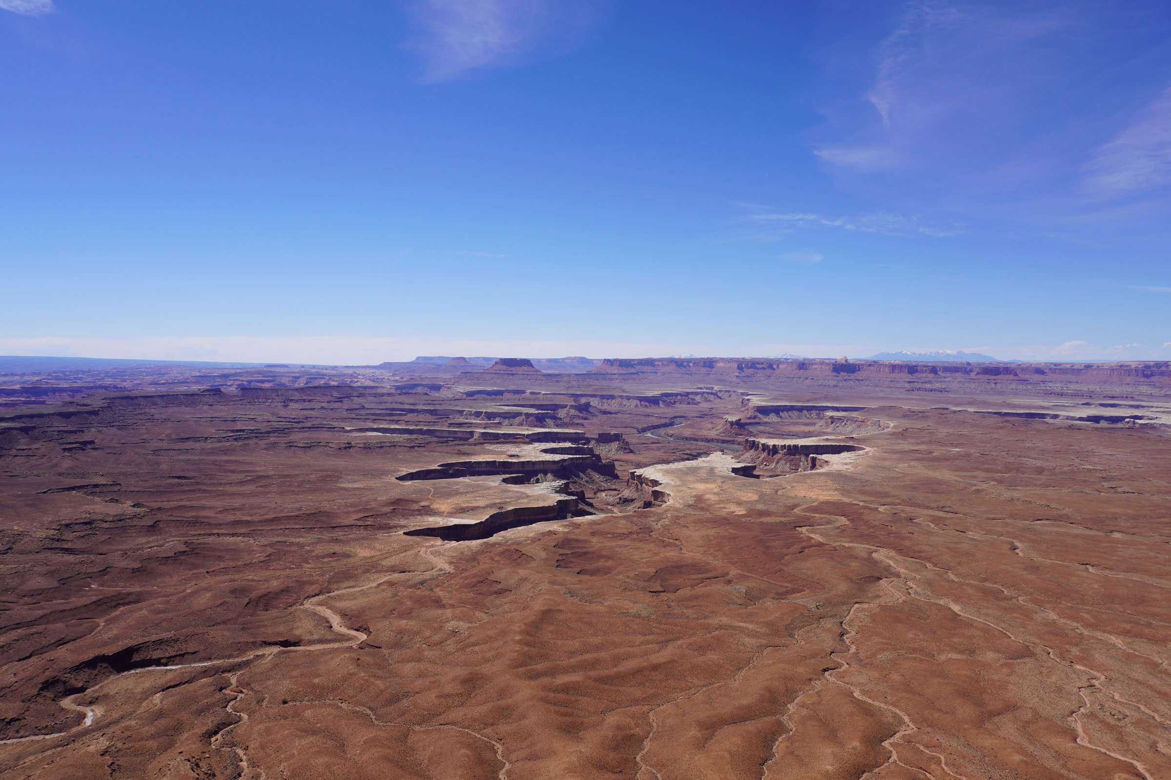
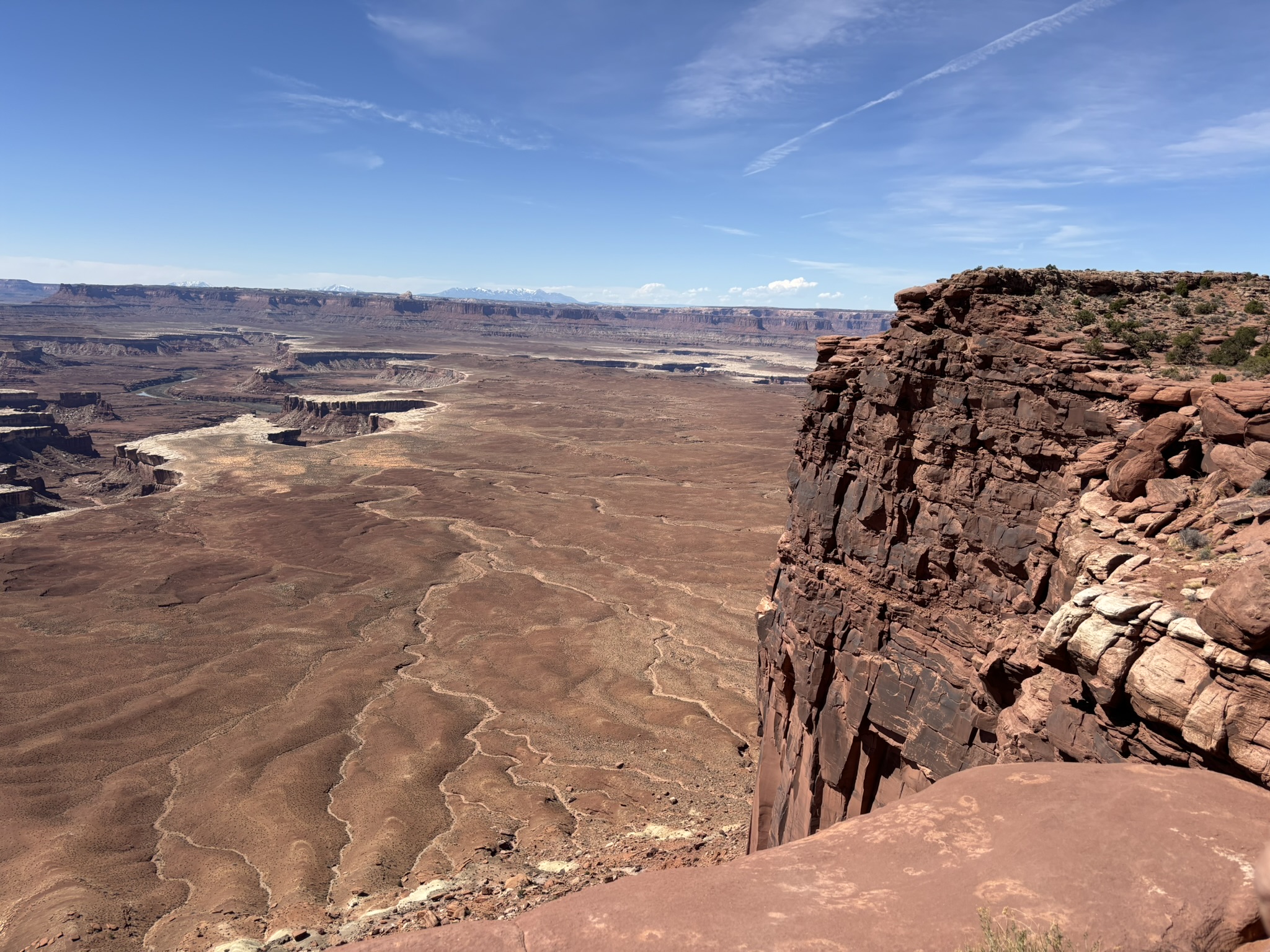
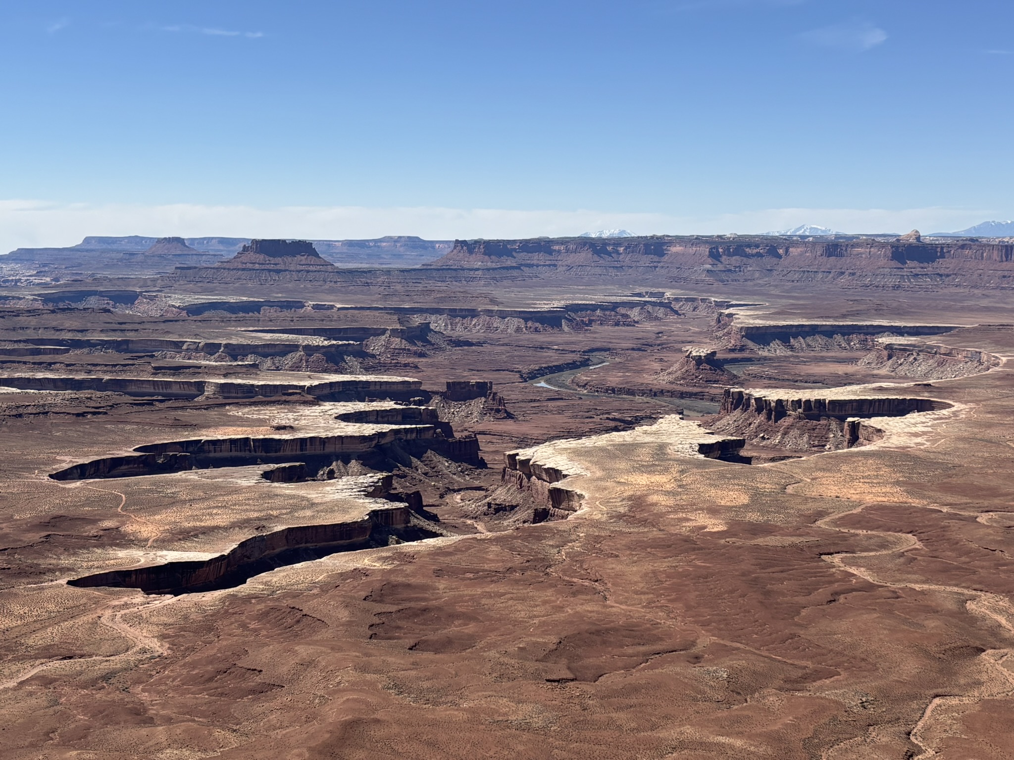
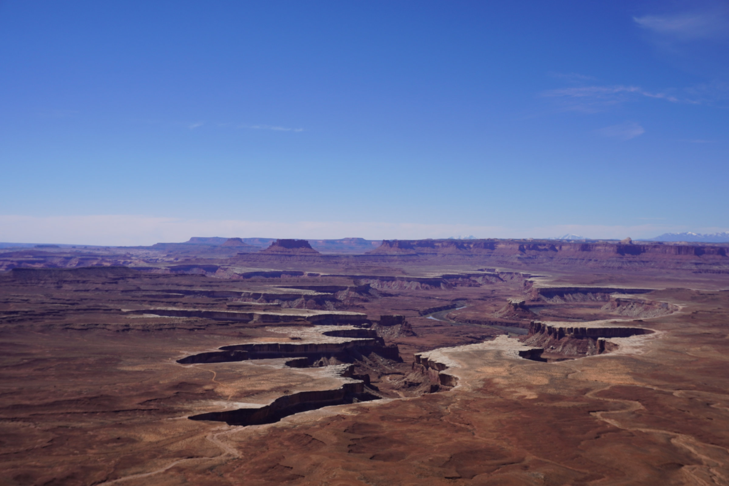
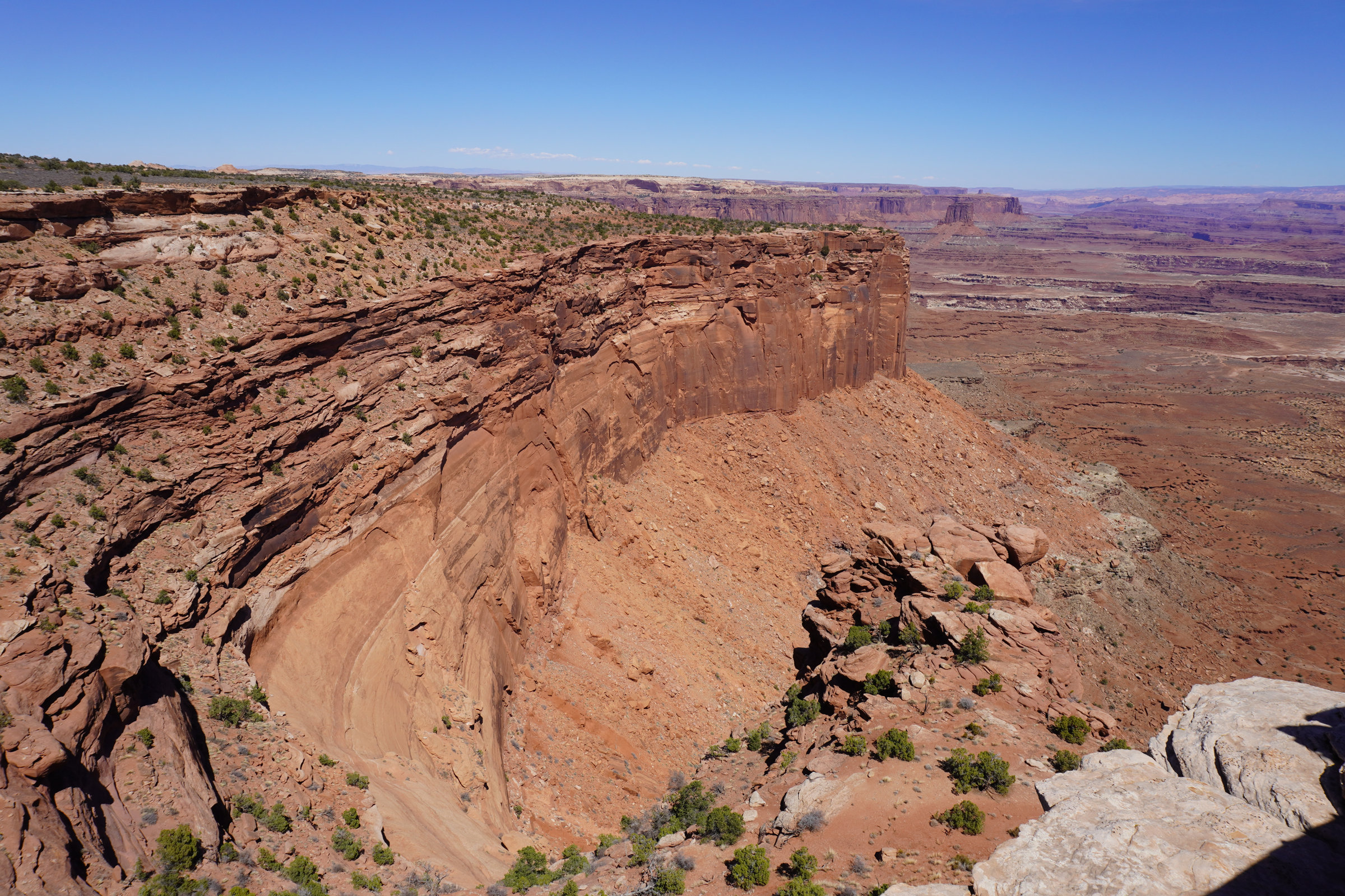
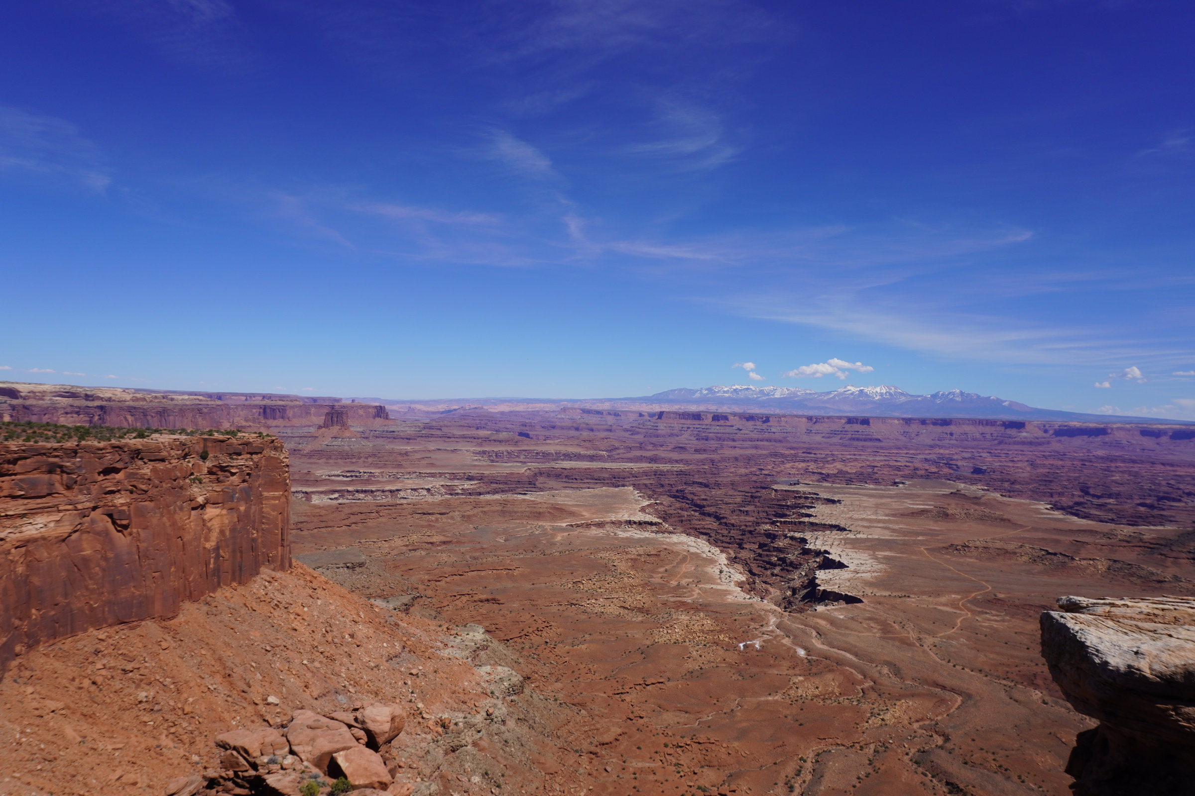
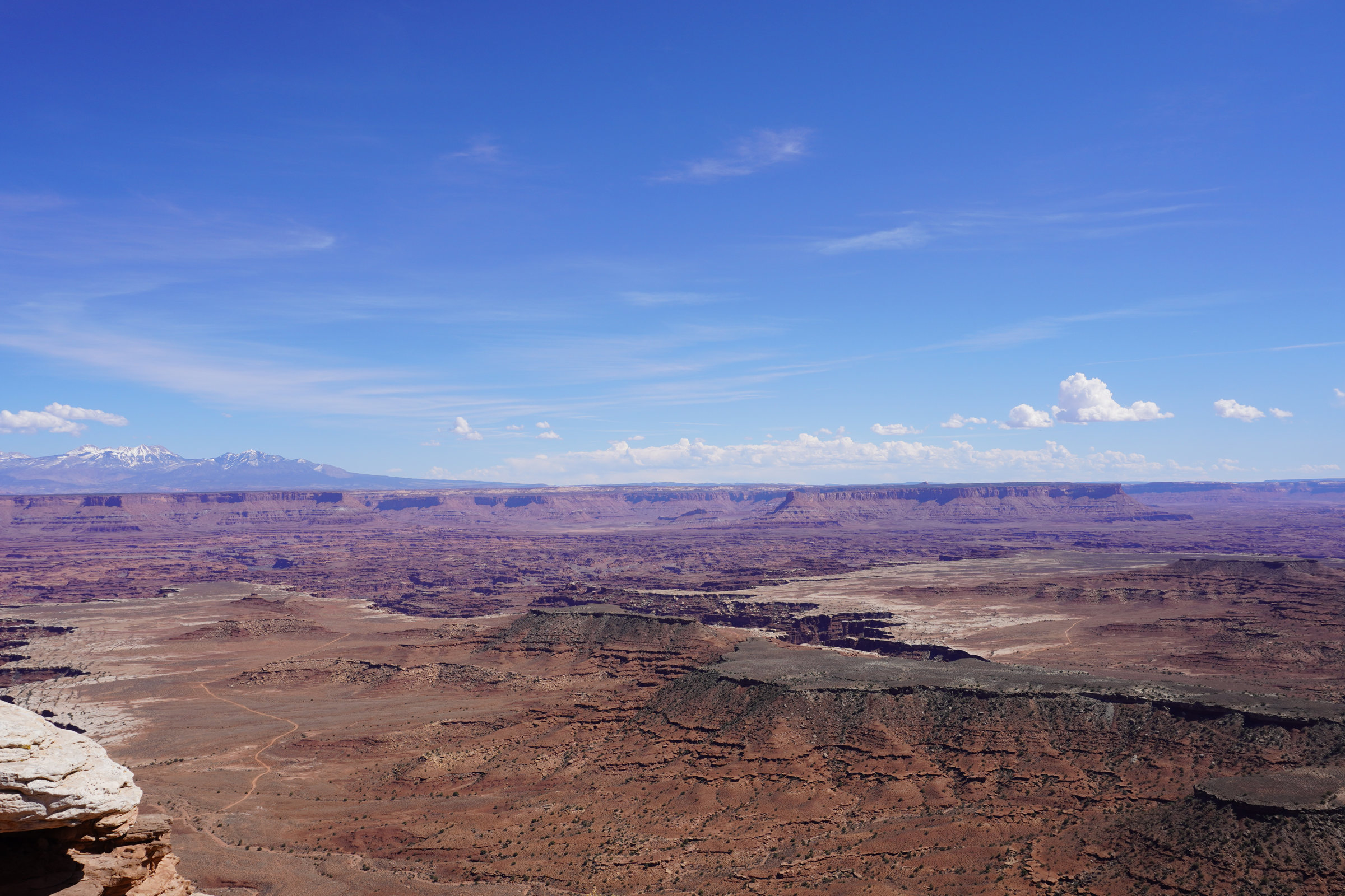
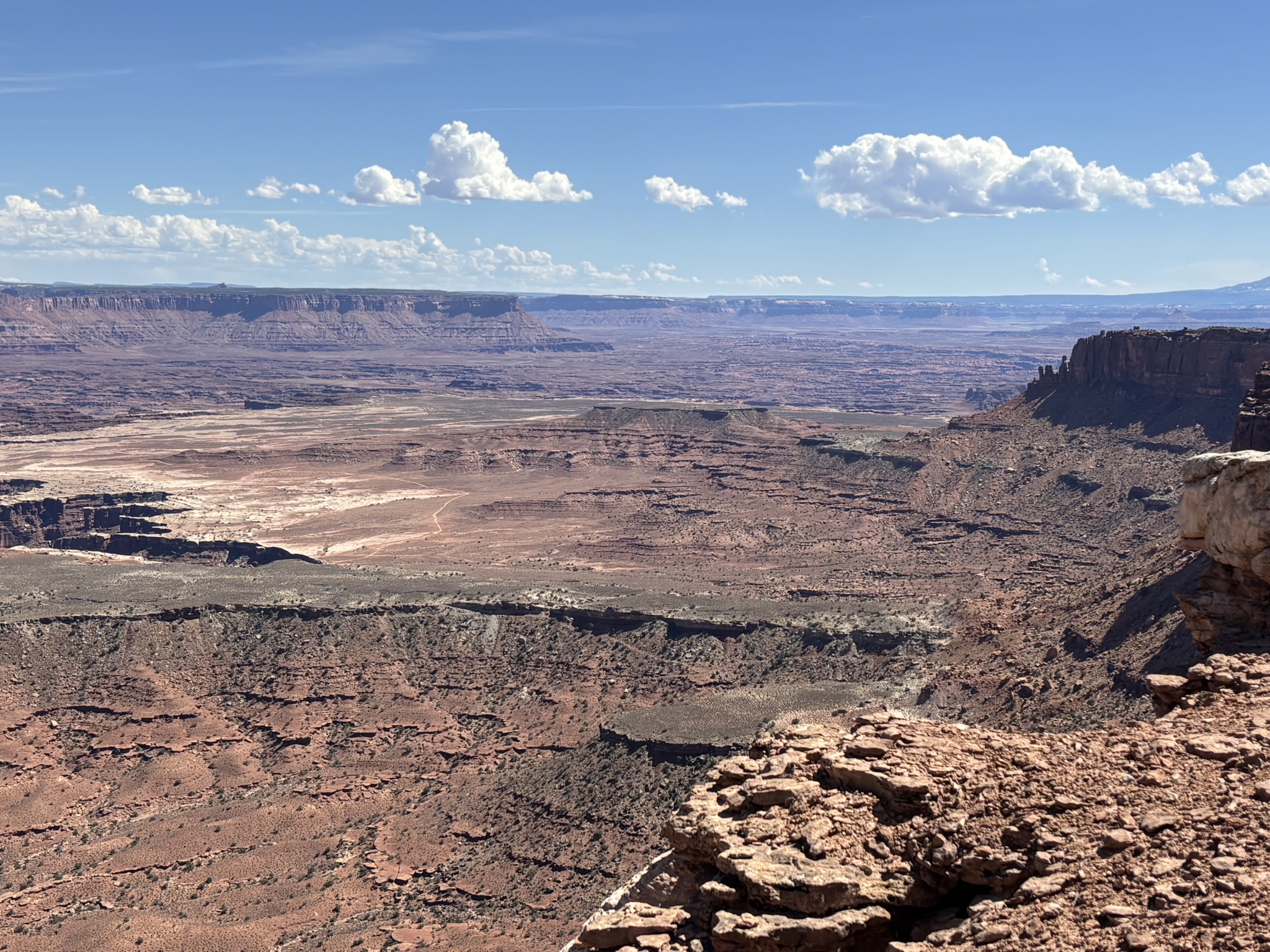
Green River Overlook was just an expansive view of the White Rim and the canyons associated with the Green River. The Gallery below is a selection of photos from the overlook mostly in a southerly direction.
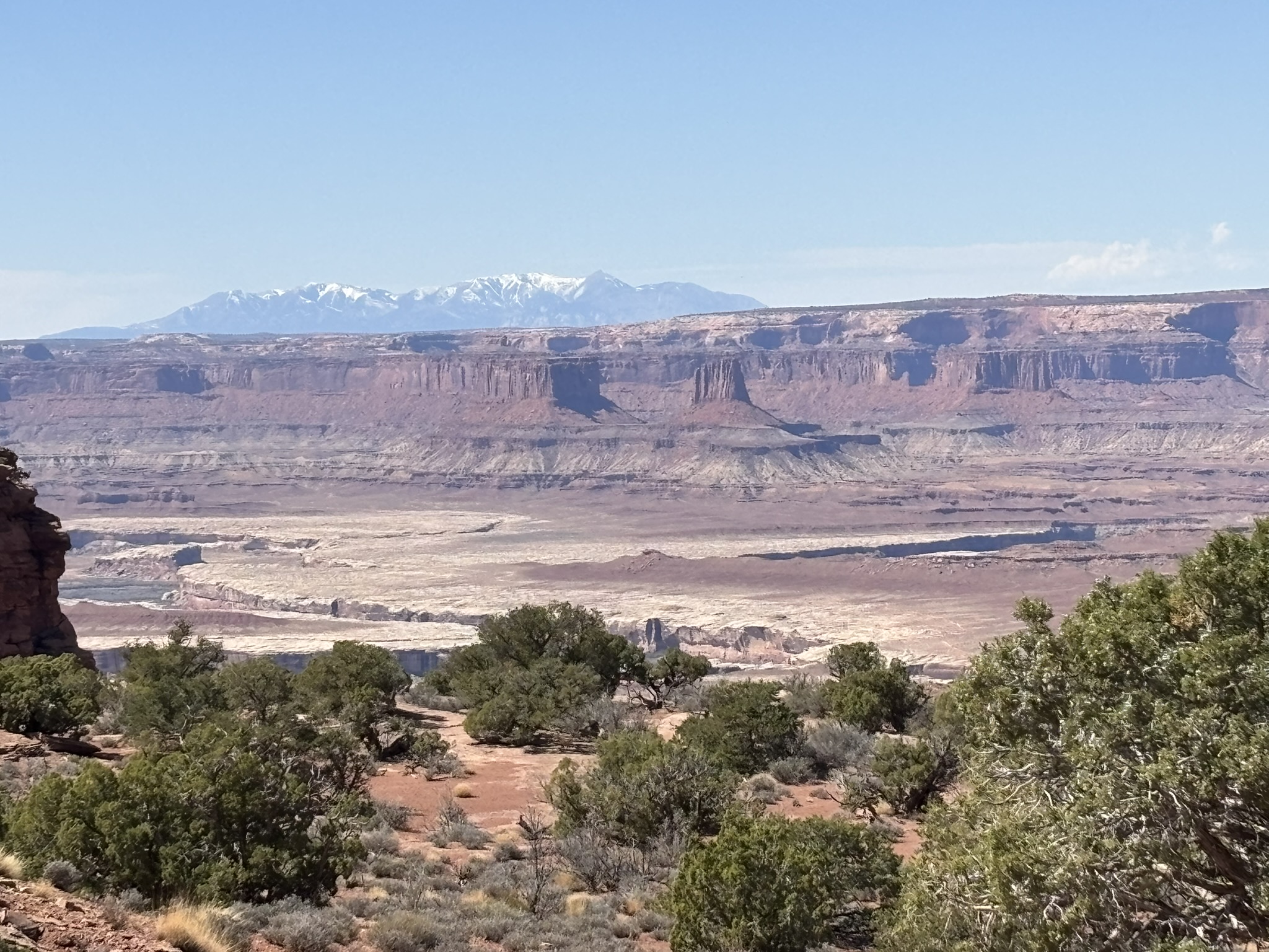
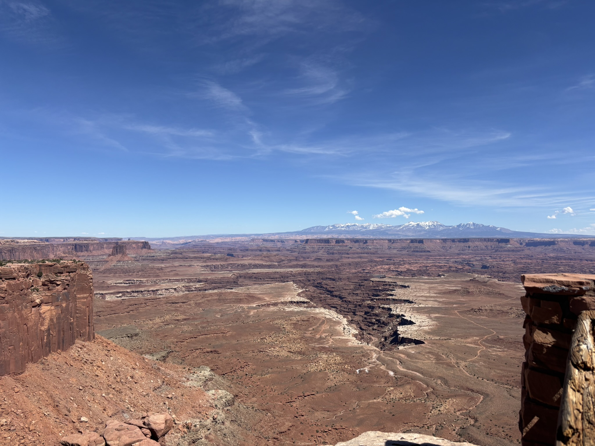
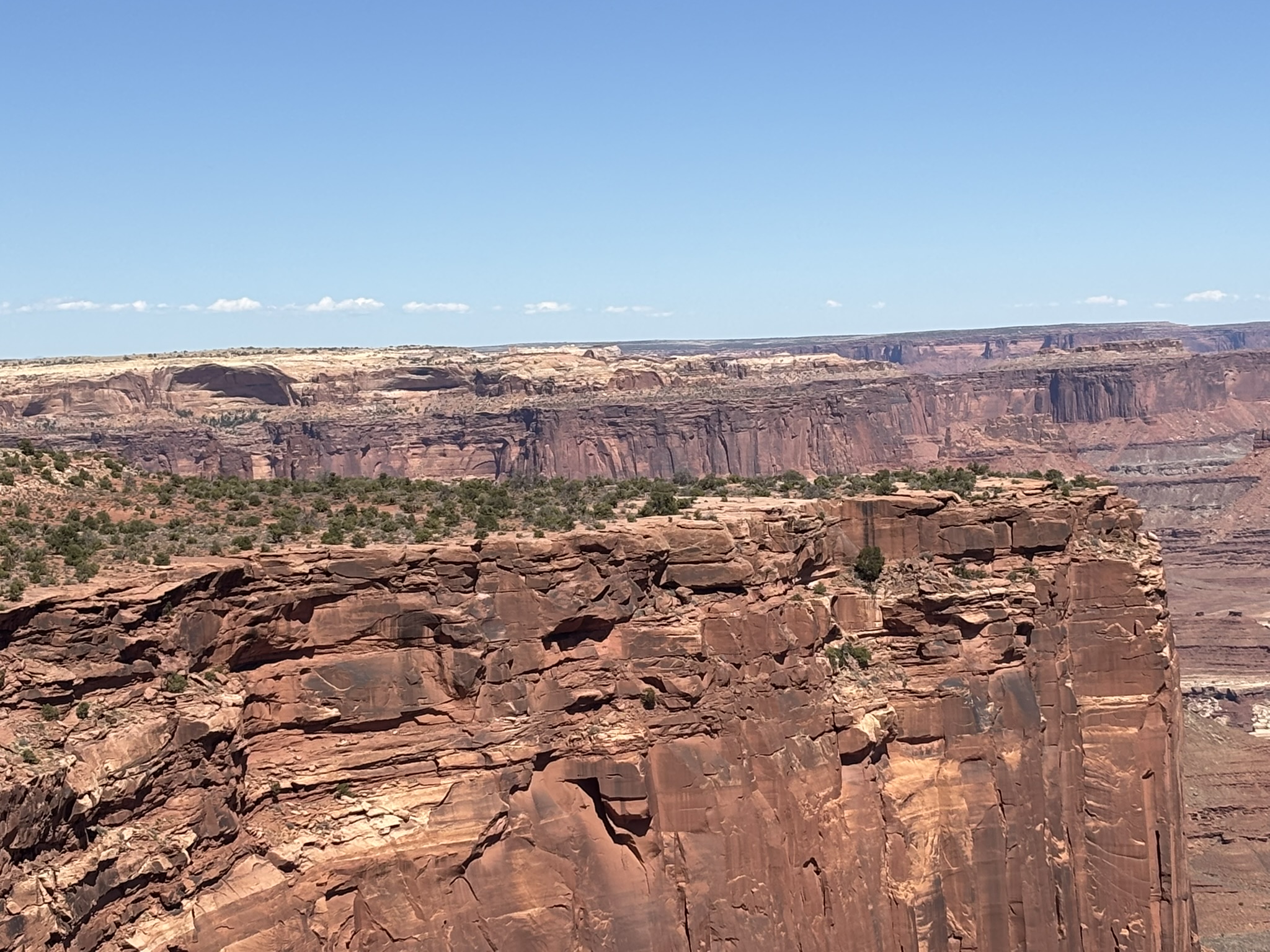
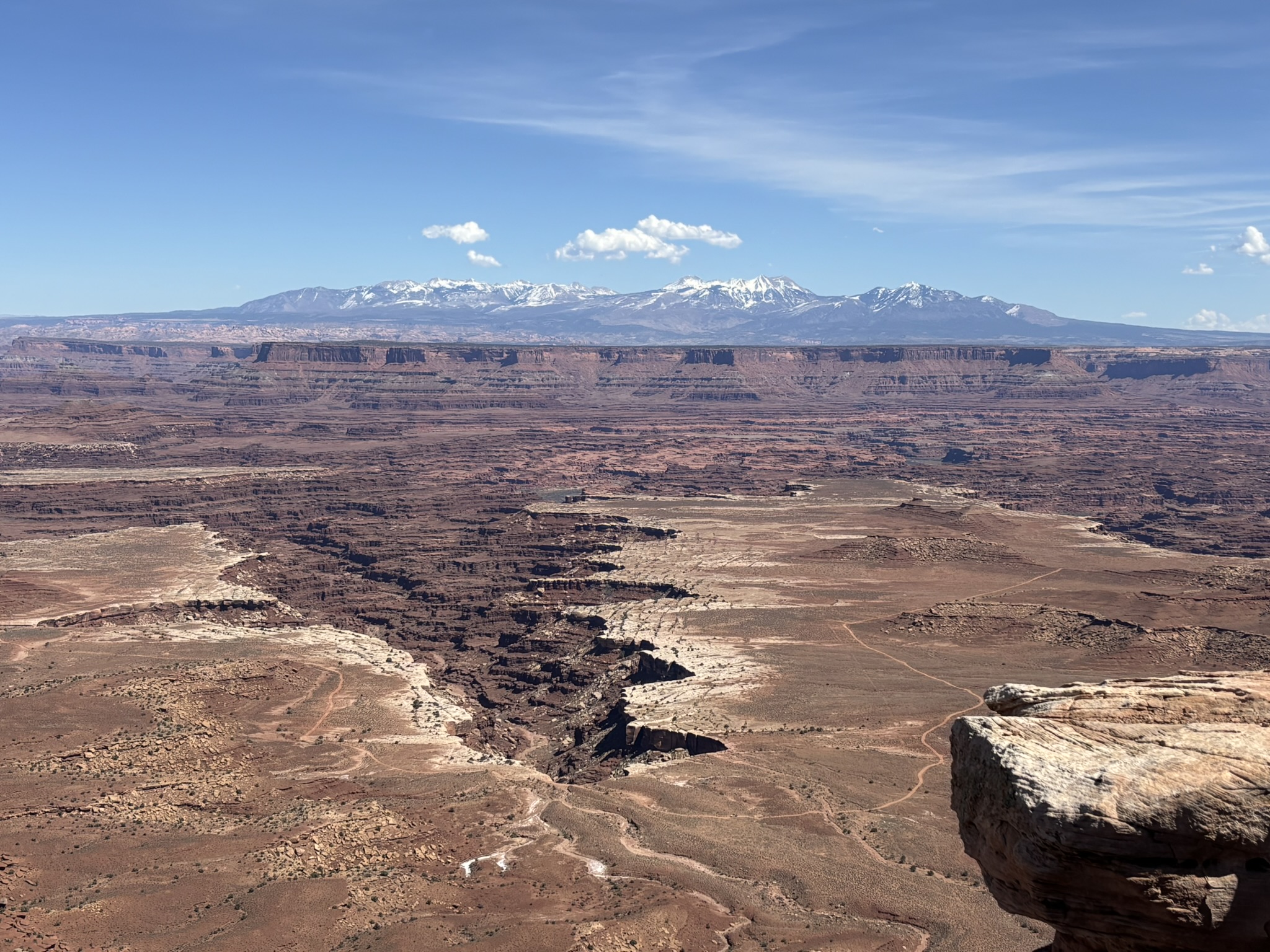
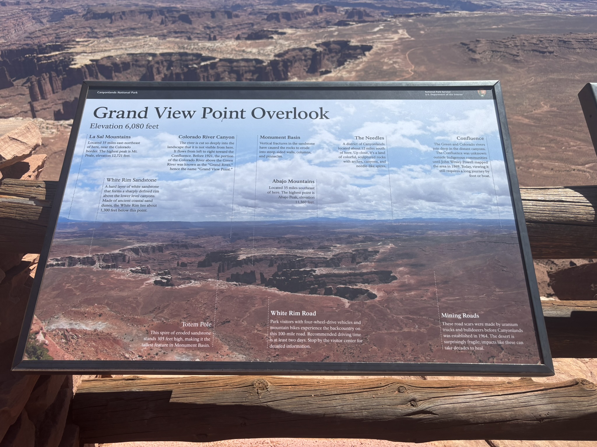
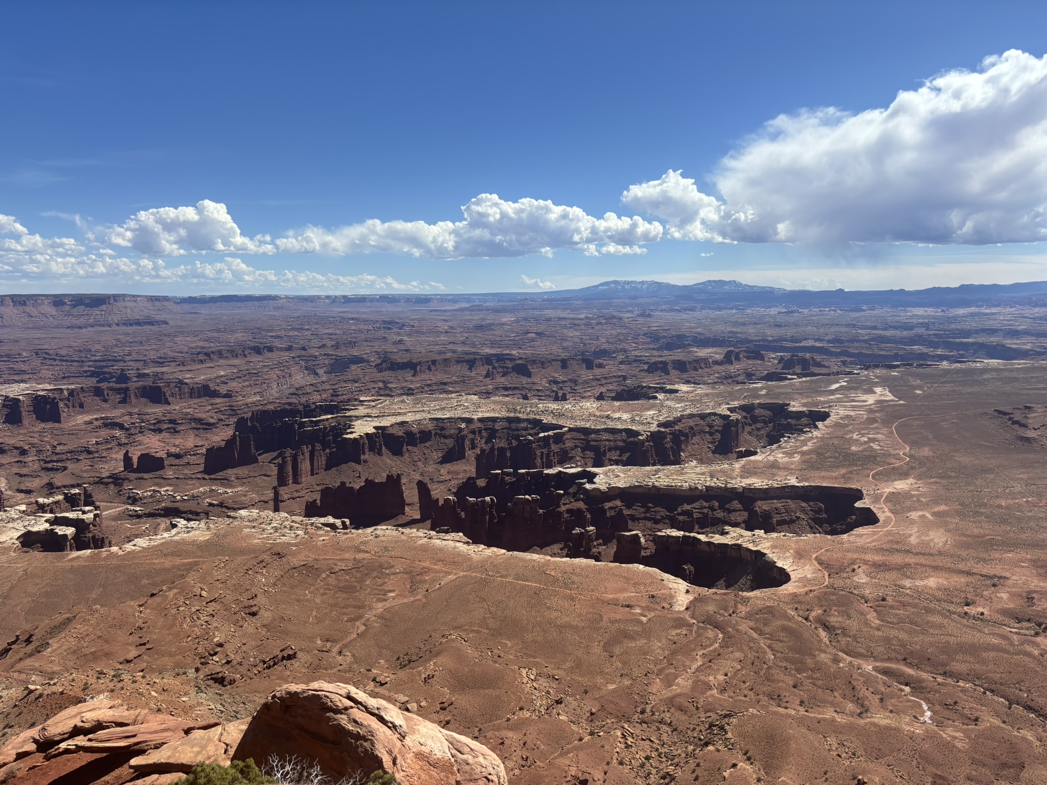
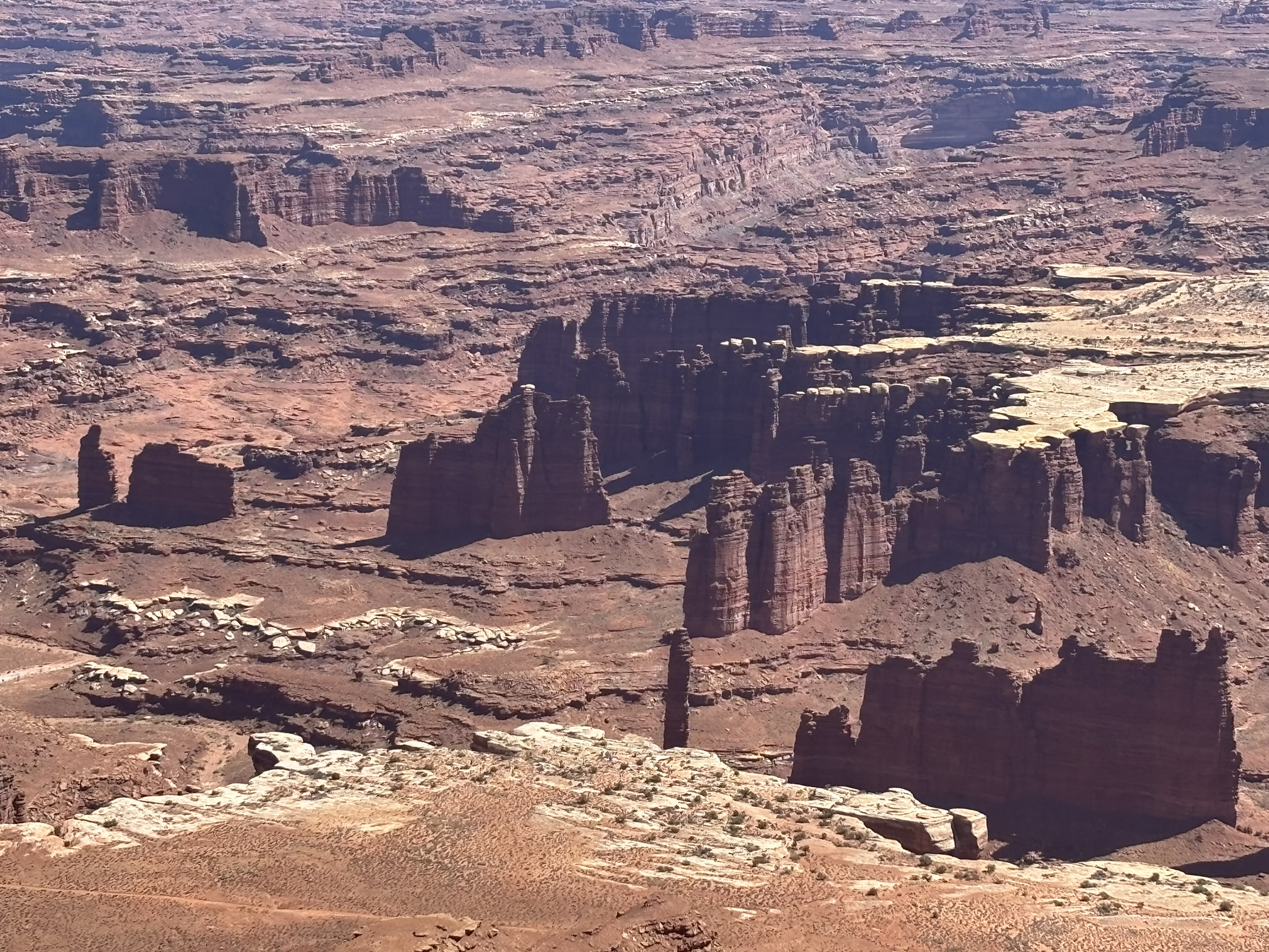
Grand View Point is pretty much self-explanatory. A hundred-mile view to the south and southeast with a little southwest. This then is the Colorado River side of the mesa. There is a photo in the gallery below with a good definition of what you are looking at. The flat area is the White Rim formation which is a resistant rock layer. In many of the pictures, you can see the White Rim Road, a potential fall trip. The Gallery below is a collection of photos from Grand View Point.
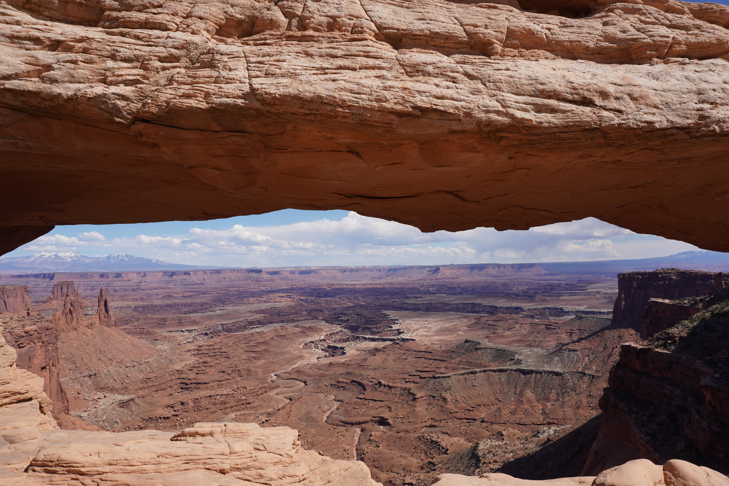
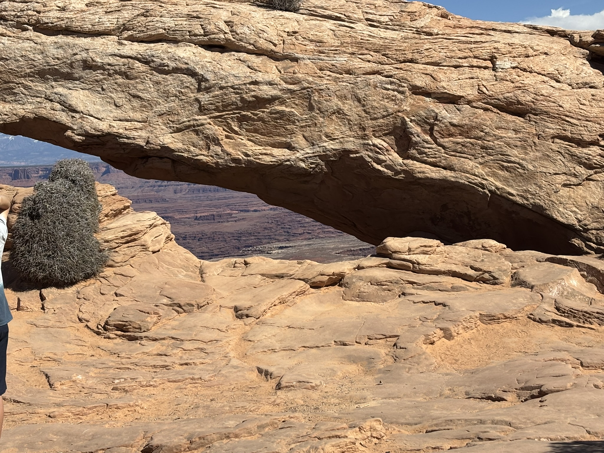
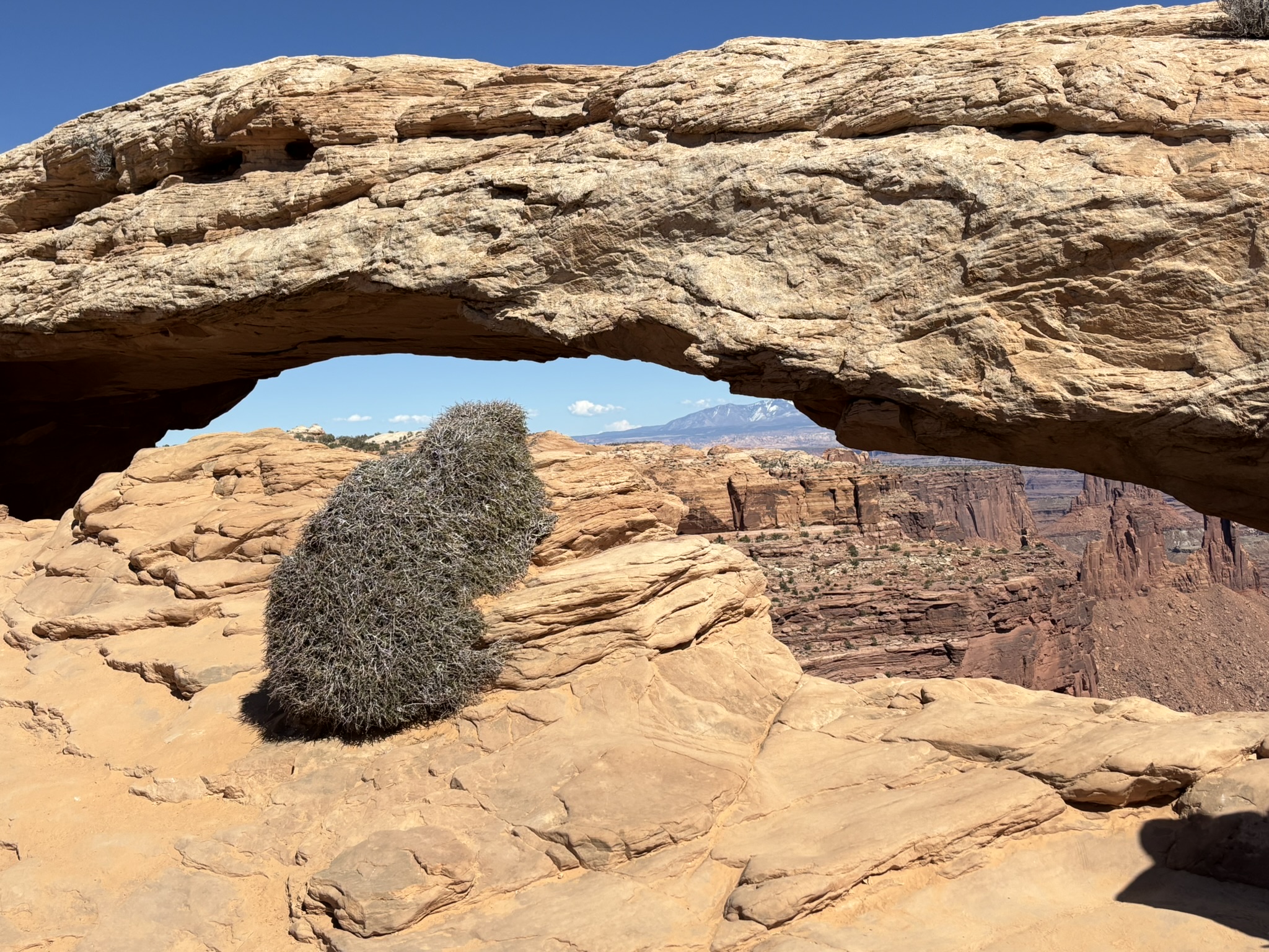
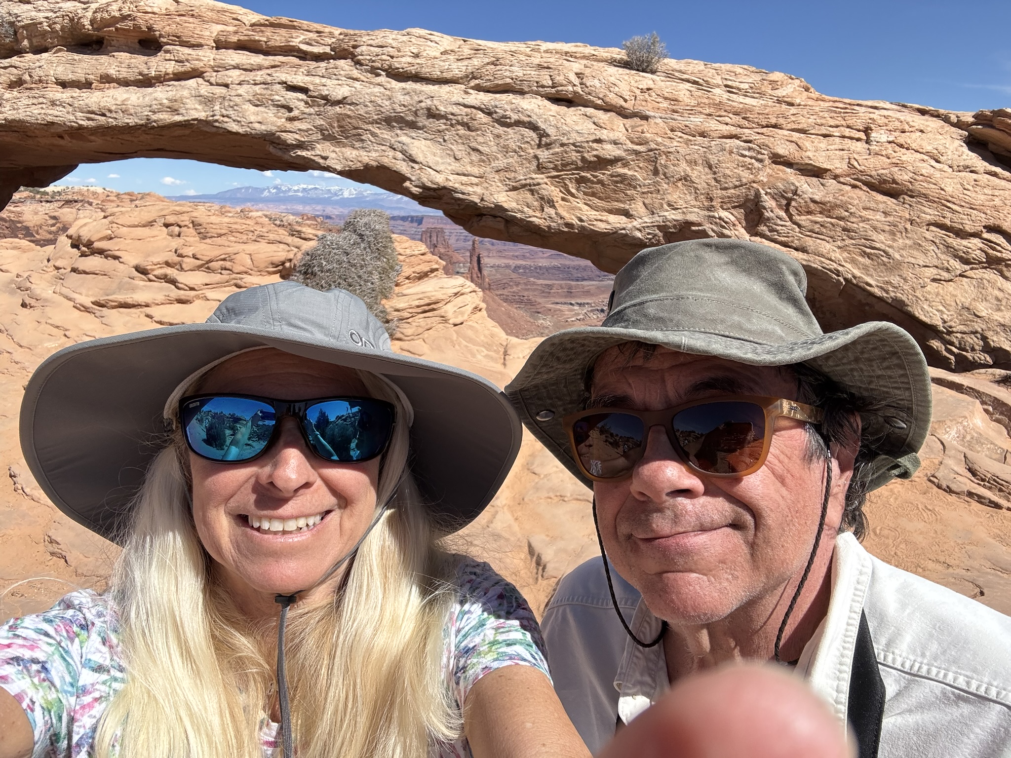
Heading back to the barn as Grand View Point is the southern terminus of the Island in the Sky Road. Moving back north to the Mesa Arch – the Canyonlands Arch that pictures of Canyonlands NP all include. Mesa Arch formed in the Navajo Sandstone. It is a short walk of 0.7-miles out and back with only about a 63-foot elevation gain to go hang out with your fellow man. Again though, I was amazed at my fellow man’s appreciation for what they were seeing. National Parks in the off-season are nice.
Mesa Arch is relatively small compared to the arches in Arches NP. It spans about 27 feet and is only 6 feet high at the center. However, Mesa Arch sits on the edge of a cliff. One false step after standing under the arch and those measurements pale in comparison to the drop off directly behind the arch. If you step a little beyond the backside of the arch or slip and topple over the edge, you will have 8.7 seconds while you fall 1,200 feet to the first stop down. The Gallery below includes Mesa Arch photos.
After a fabulous day of Canyonlands NP, we stopped at a viewpoint and enjoyed a frosty brew then on to Moab for a low key but very tasty dinner at Zax. An early night as there was a lot more walking/hiking than I told stories about here and both of us were feeling a little tired.
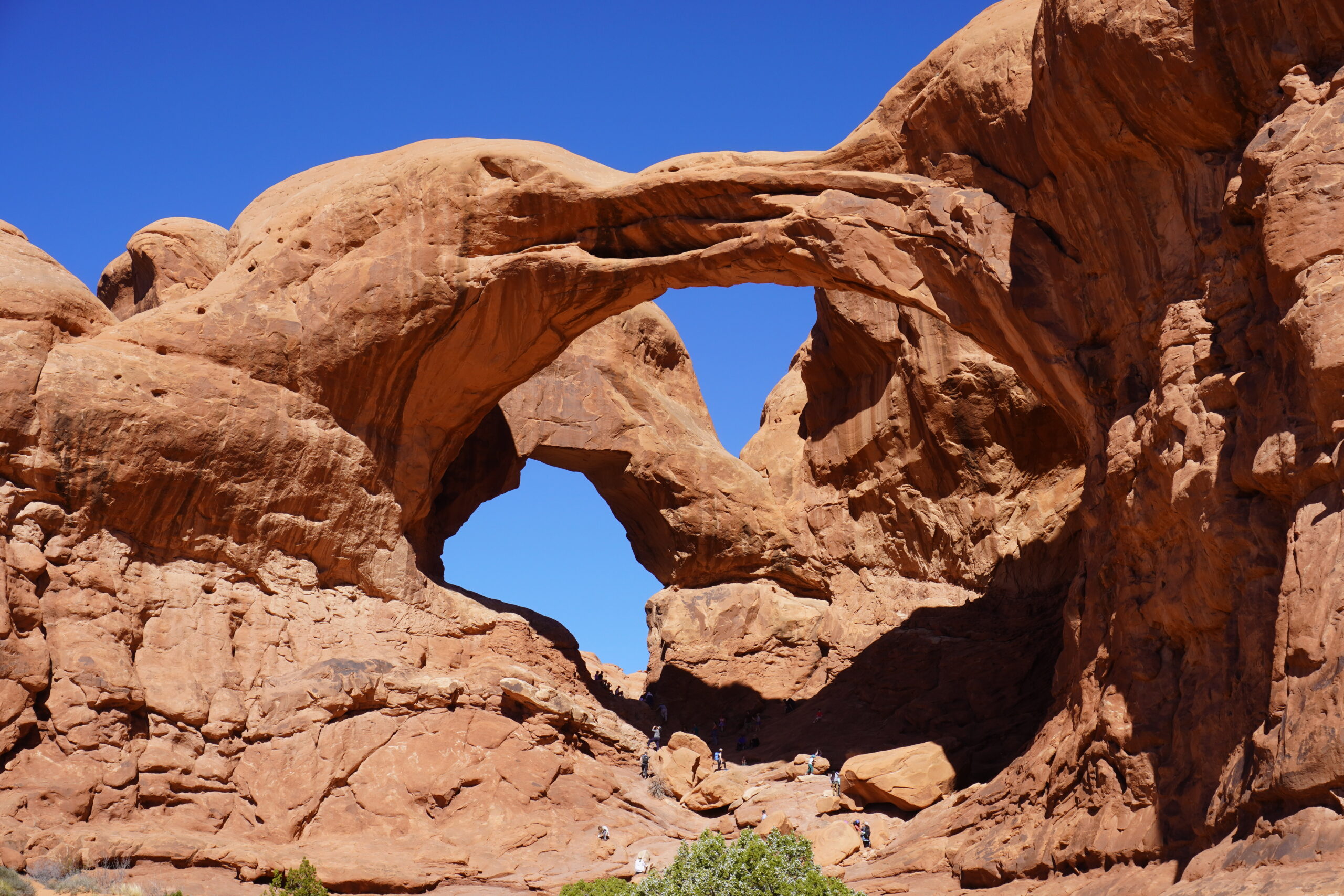
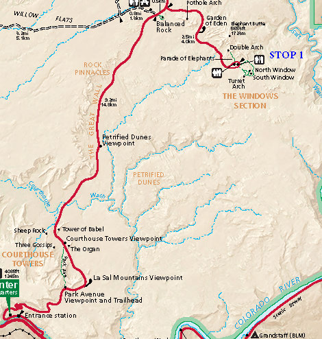
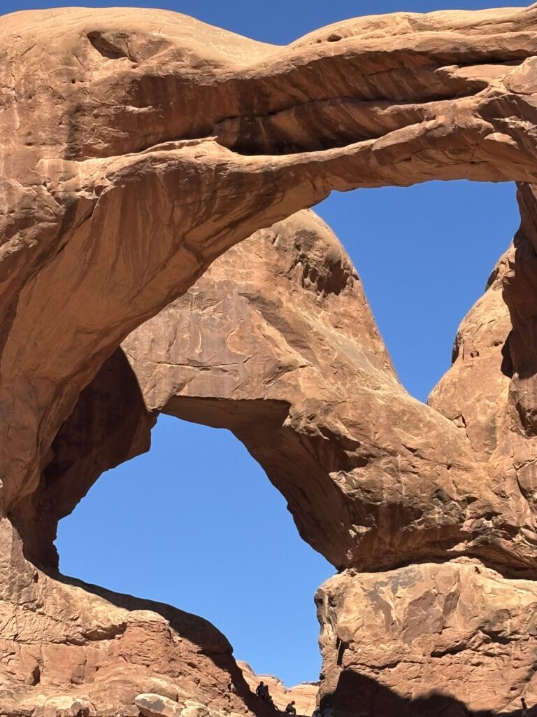
We hit the road bright and early and headed out so that we could get some hiking/walking in and see some arches with a less crowded situation. First stop was the Double Arch area shown on the map (north is up) below. The title photo is a shot of Double Arch.
This was a good stop as there are 4 major arches, several minor arches, several trails and walks
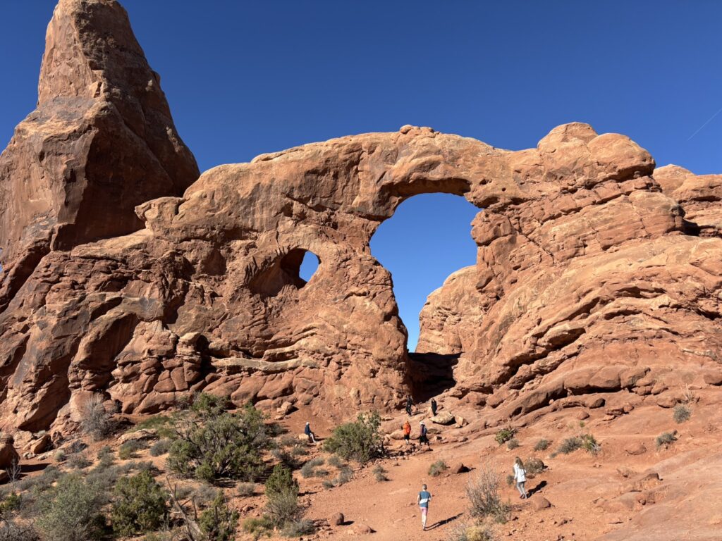
Turret Arch – looking west
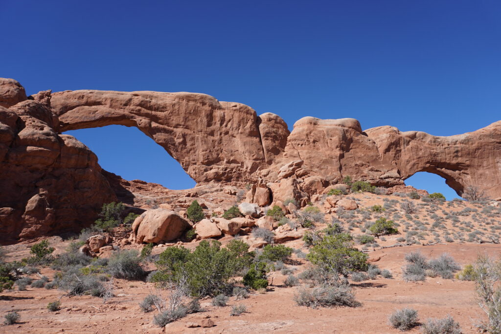
North (right) and South (left) Arches from the back looking west.
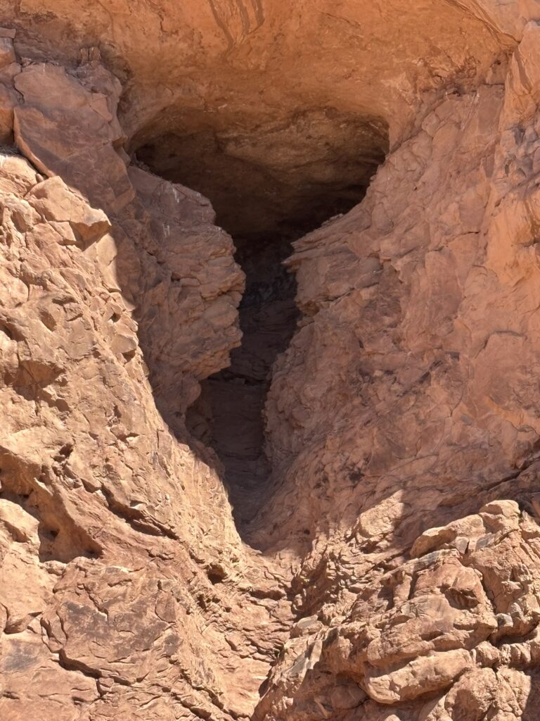
Arch-In-Progress
Close up of Double Arch
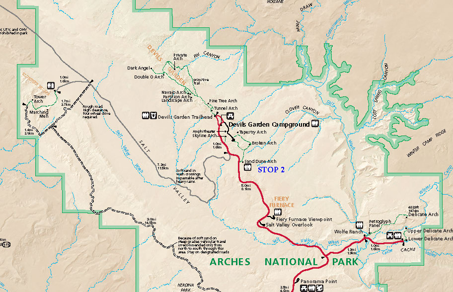
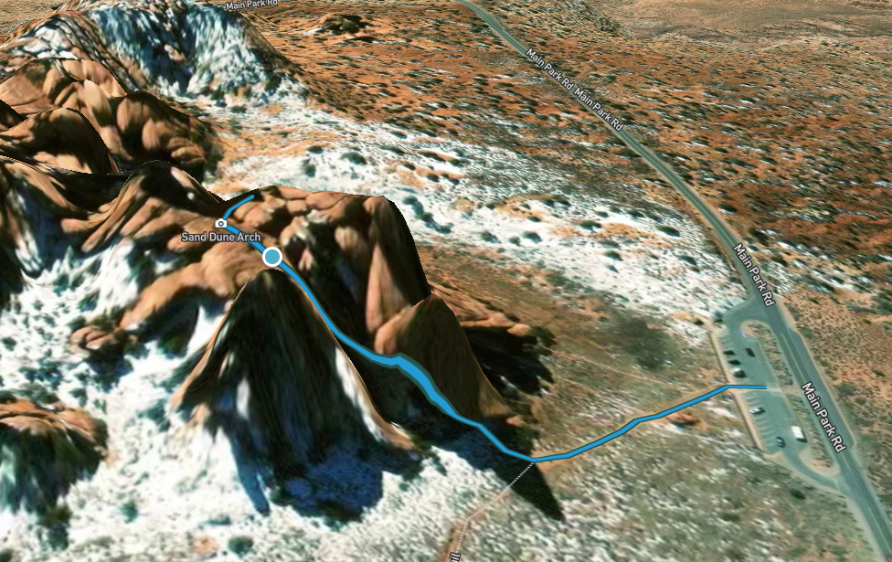
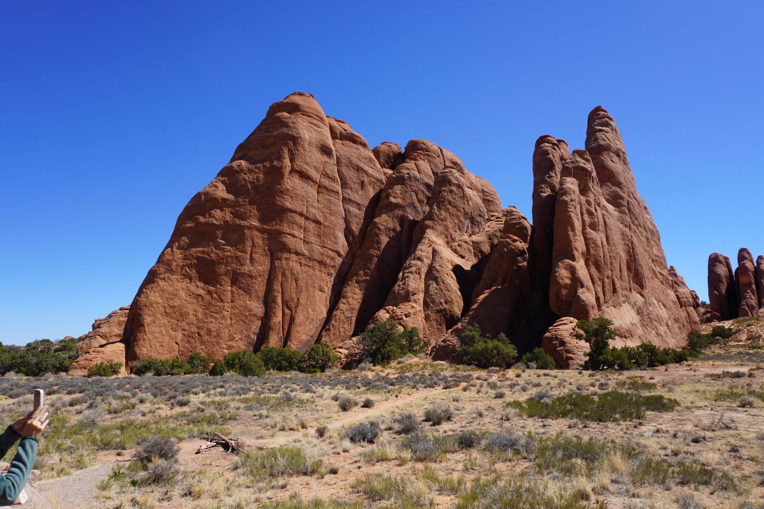
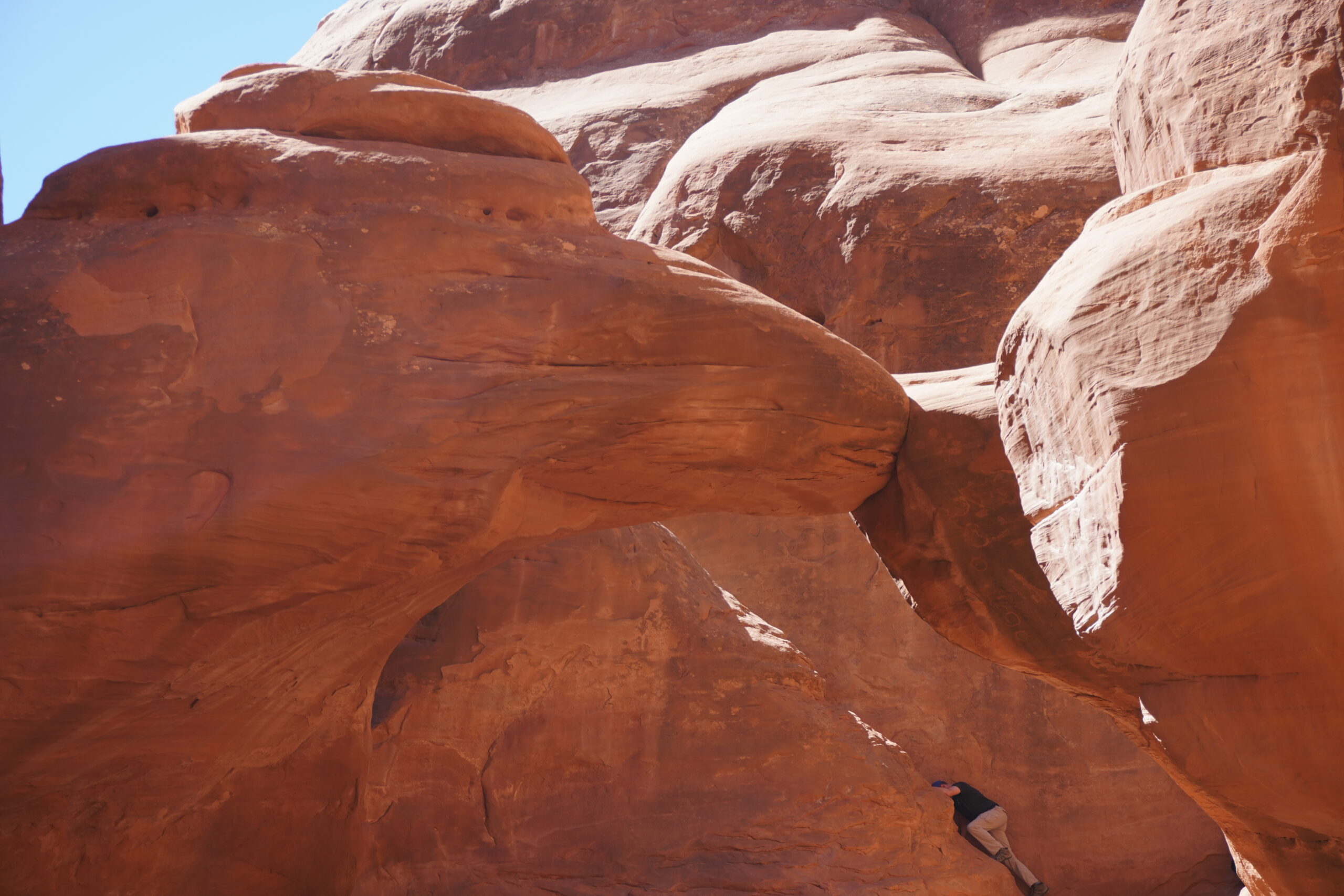
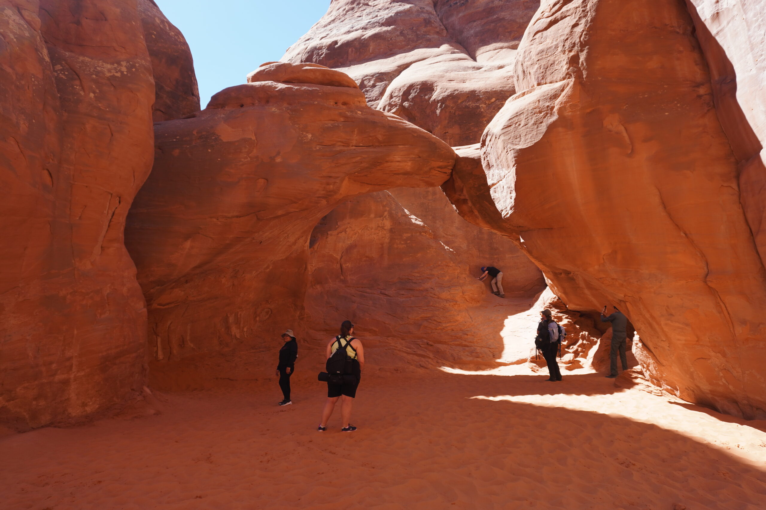
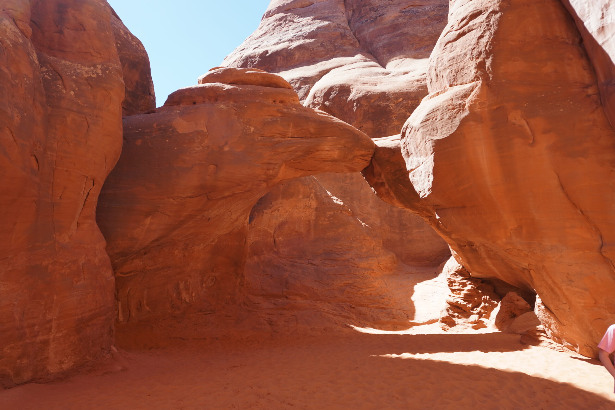
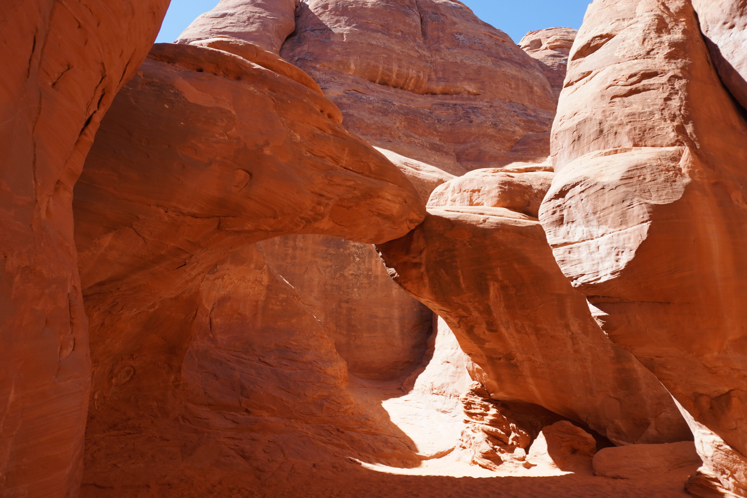
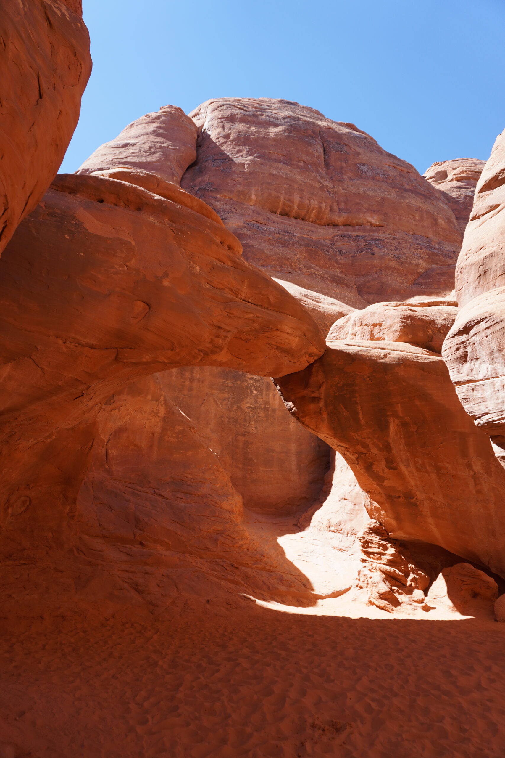
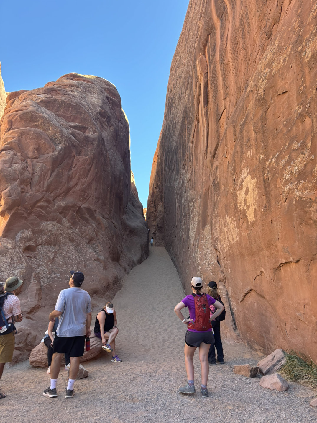
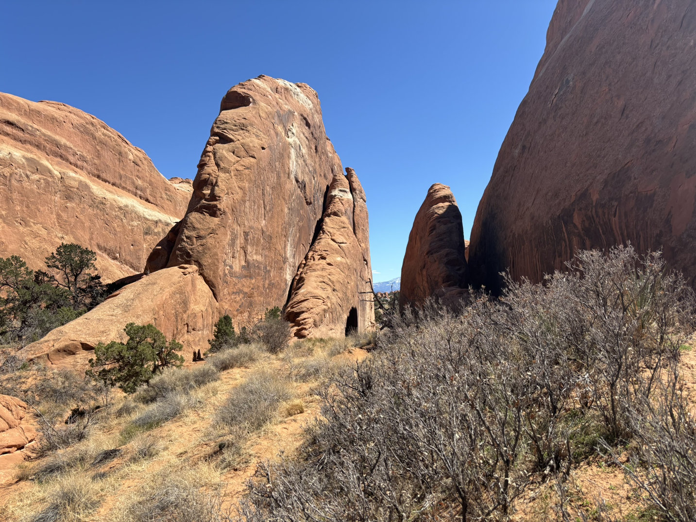
Moving on, we headed up the road to the Sand Dune Arch and Broken Arch area.
Sand Dune Arch is hidden in a large outcrop not far off of the road. The walk is very short, only 0.3 mile out and back so great for little kids and older folks!
From just outside the outcrop, you can see Broken Arch. We opted to skip the walk to see that location.
Broken Arch – from a distance.
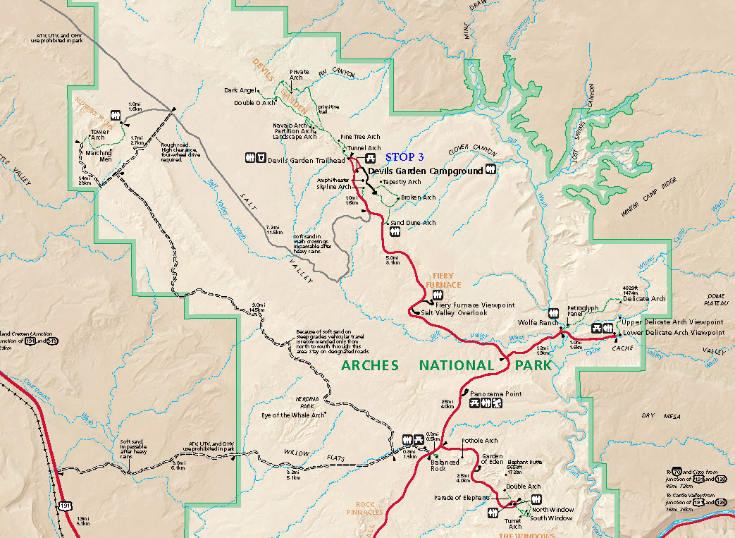
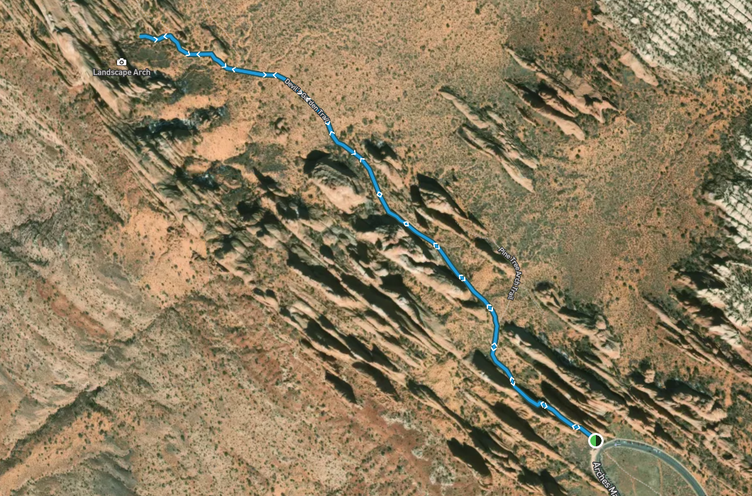
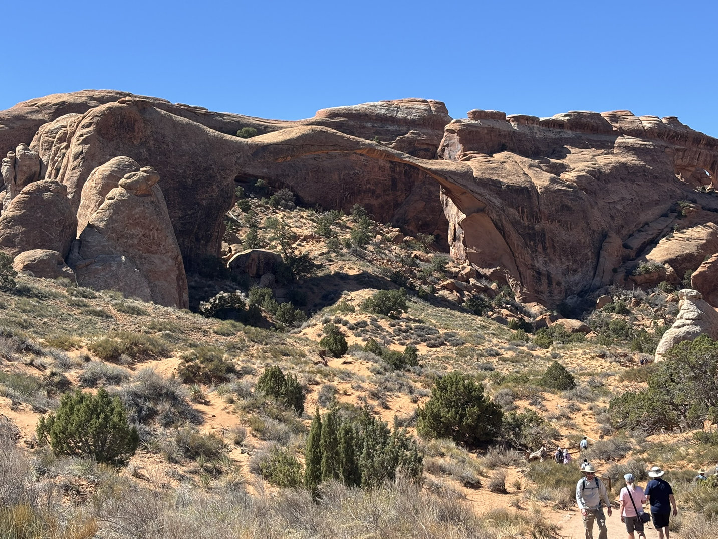
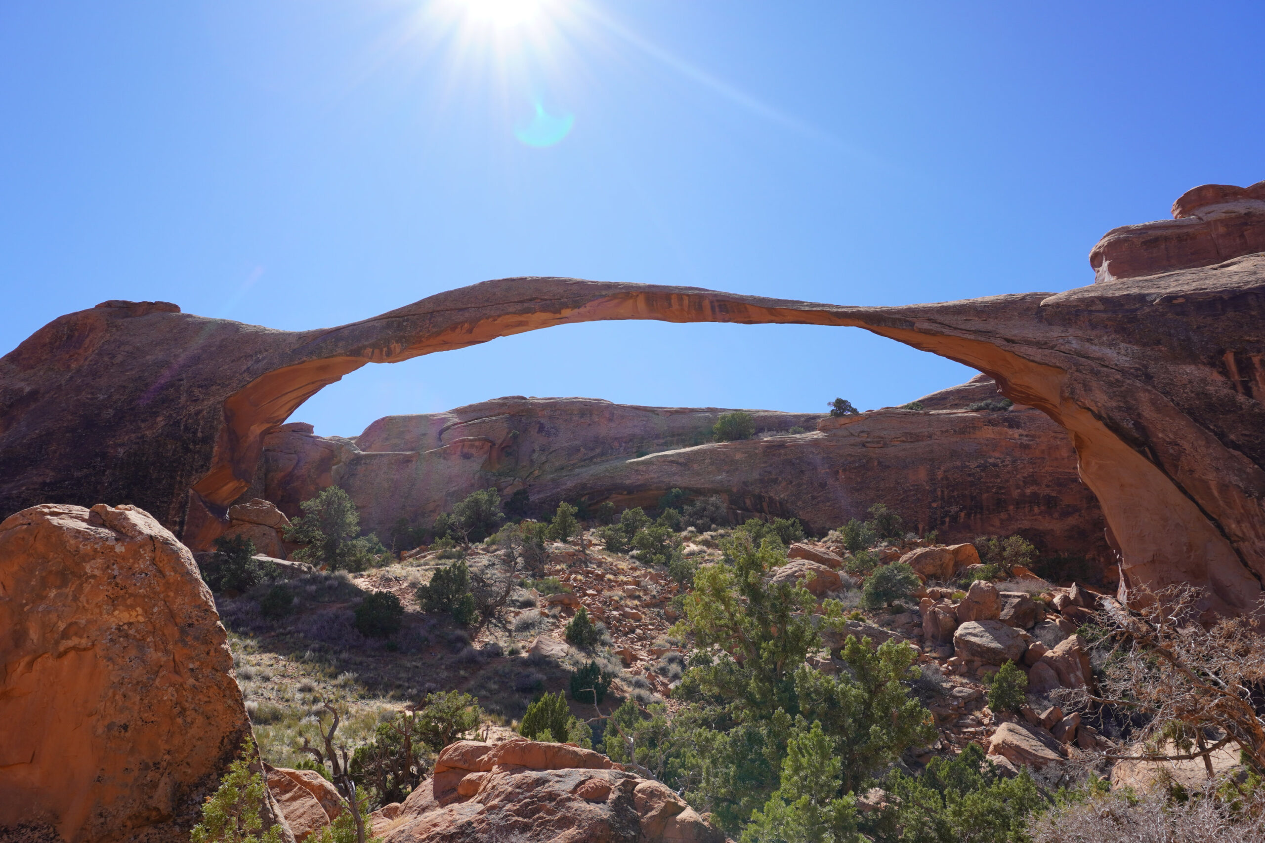
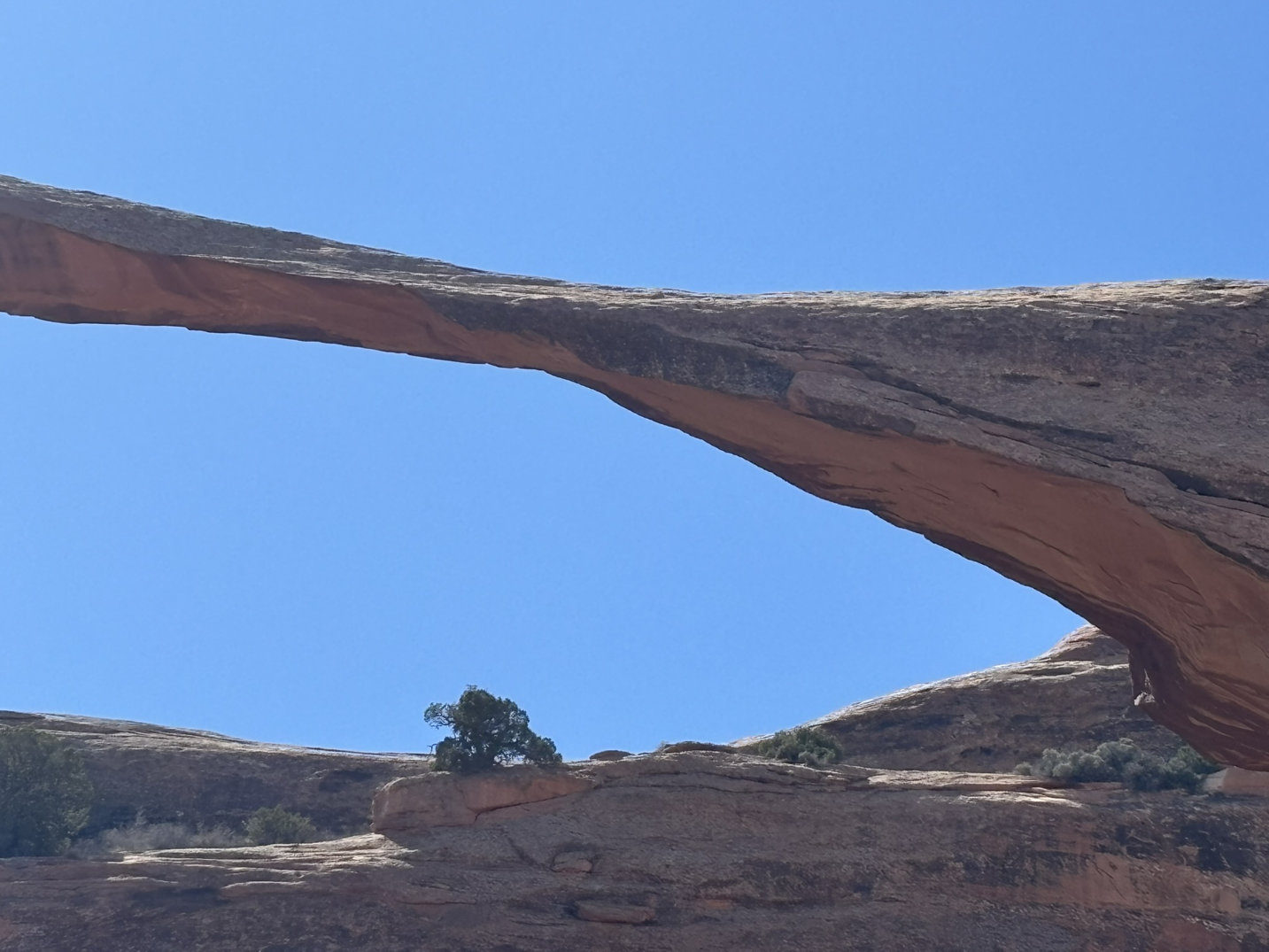
The next stop was at the north end of the road for a hike out to Landscape Arch. On the way, we passed Tunnel and Pine Tree Arches.
This is about a 2-mile out and back trail (North is up) with only a 252 ft elevation gain so a nice late day stroll.
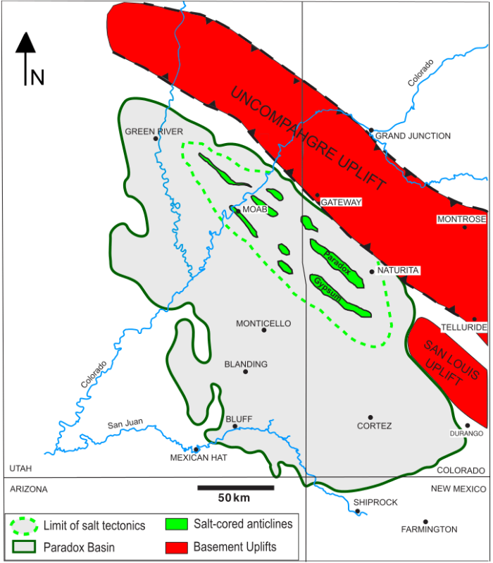
I’ve sort of dropped back into my creative malaise with the constant attacks on our political and I guess more disturbingly on our judicial system. So, I’ll retreat back into my happy place and talk geology a bit. You may have seen in the previous blog post a sort of passing reference to the Paradox Basin. I kept it at the 75,000 foot-level because the Paradox Basin is one of the rarest geological phenomena on earth. As such it is also one of the most studied areas on earth. I suspect the scenery was a draw. But in the end, the economics were more of the driving force behind the characterization of the subsurface. The resources of the Paradox Basin generated bundles of dough for the petroleum industry, the uranium and copper mining industries and more mundane minerals like potash(fertilizer) and gypsum (wallboard etc.). The figure below is the approximate boundary of the Paradox Basin. In this post we are going to look quickly at the formation of the Paradox Basin but more focused on the area in the green dashed line and the northwest-southeast trending valleys on the figure below.
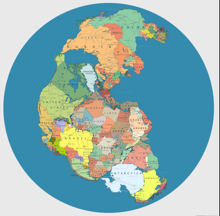
The Paradox Basin began life about 300+ million years ago which is right around the time that the Atlantic Ocean had disappeared with most of the land masses forming up into Pangea. Canada and the United States and Greenland (and every other landmass were all one big happy family (sigh…). You can see in the figure below that if you were in Greenland 300 mya you could easily have seen Russia “out your back door”. Almost every map that you look at of Pangea is a little different. This one is more of an overlay of current day geographic boundaries on a more or less general outline of Pangea. The current geographic boundaries 300 mya were somewhat smaller than what you see here (i.e. the west coast of North America was back somewhere around Idaho).
These two creatures were in charge of everything. Same degree of intelligence as current large and in-charge arseholes.
Nice hair!
Look — little bumps on the head, orange complexion and very short fingers and arms. I wonder if it had a comb-over.
SO that sort of sets up the start of our story. Around 300 mya, the Paradox formation, a geologic unit primarily composed of evaporites (salts and gypsum) and limestone, and shales (particularly on the seaway margins), was deposited in a large restricted marine basin where the seas repeatedly came in (transgression) and went out (regression). The formation is best known for its thick salt (halite) layers, which have played a dominant role in shaping the region’s tectonics and stratigraphy. Because the seas were predominately shallow and tectonics and climate conspired to keep them that way, occasionally creating enclosed inland seas and large lakes similar to the Salton Sea in SoCal, there was significant evaporation and deposition. Moreover, the periodic closures of the seaway resulted in super saturation of the water with salts. The salts reached thicknesses of up to 4,500 feet.
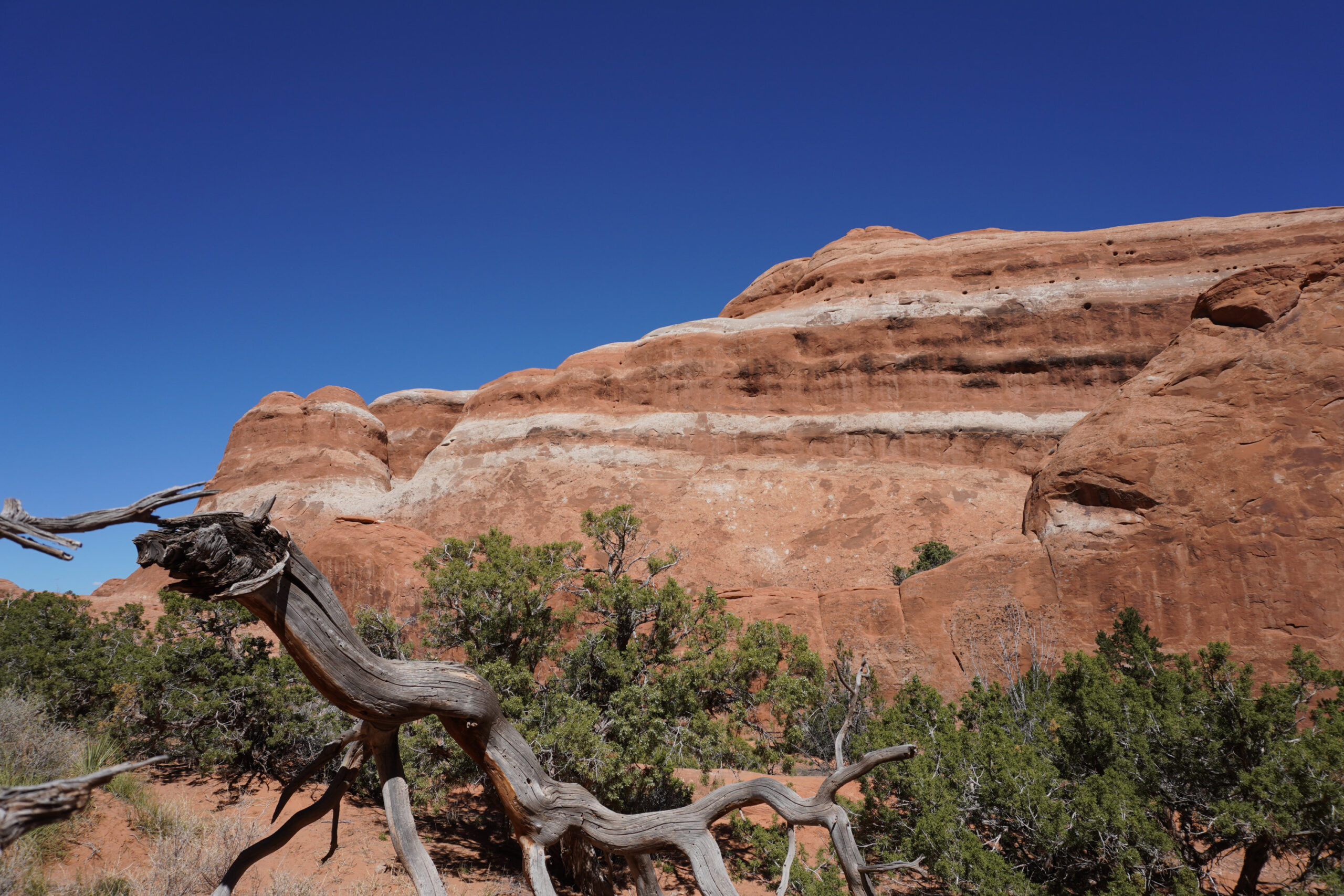
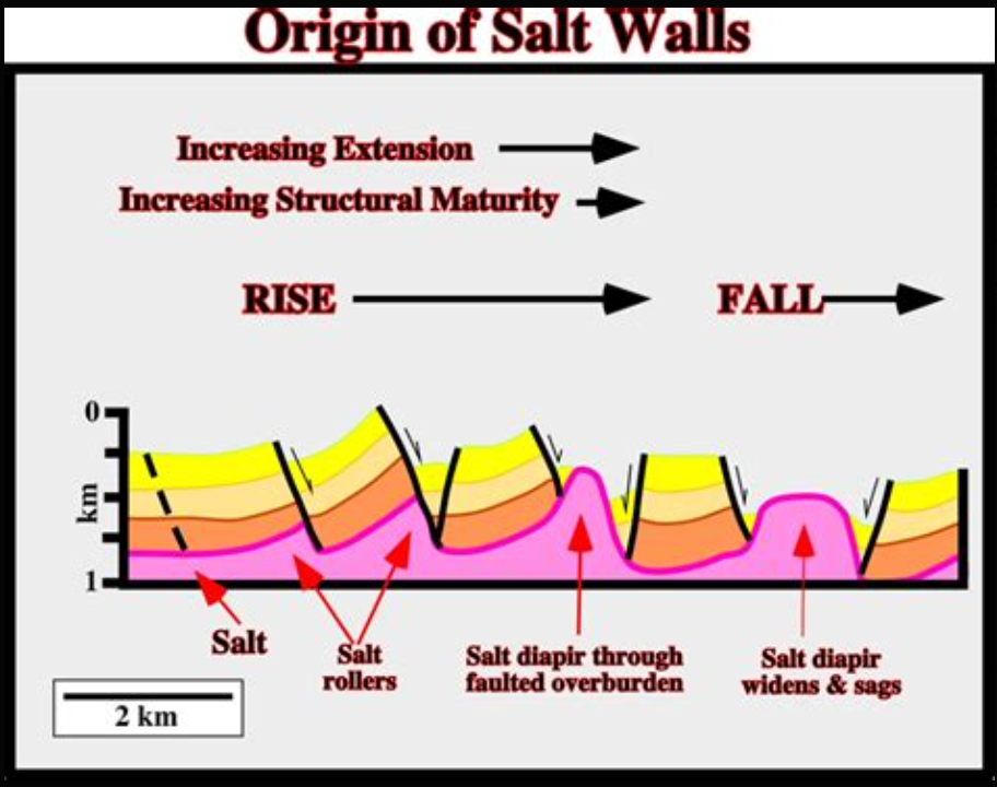
In order to shorten this up and let you get to sleep; here is a summary of how the salt in the Paradox formation eventually ended up 4,000 feet above sea level creating much of the magnificent scenery in eastern Utah. Geologists aren’t happy unless there is a label on a process and this process has taken on salt tectonics as its claim to fame. Salt is explanatory, tectonics is the processes that form the structures of the earth’s crust. In this situation, Salt tectonics refers to the movement and deformation of salt layers (usually halite) in the Paradox formation due to the low density and ductile nature of salt. When overburden pressure increases (i.e. more and more geologic formations are deposited on top of the Paradox – my favorite due to name only, being the Honaker Trail formation), salt can flow, creating distinct geological structures. These structures end up deforming the overlying formations. In those deformations, as well as later regional tectonic excitement (The Colorado Plateau), joints and faults form in the overlying units contributing to the formation of fins and arches. Fins being the elongated thin banding shown on the photo above of the Devils Garden Trail.
Key resulting features:
Salt domes/diapirs – upward-moving columns of salt that pierce overlying rock.
Salt walls and ridges – elongated intrusions of salt between tilted rock layers.
Mini-basins – depressions that form adjacent to rising salt due to sediment loading.
Salt canopies – extensive, near-surface sheets formed when salt spreads laterally.
Faulting and folding – induced in surrounding strata by the flow or withdrawal of salt.
Eventually, with the uplift of the Colorado Plateau which includes the Paradox Basin it all ended up in the erosion mill at the surface.
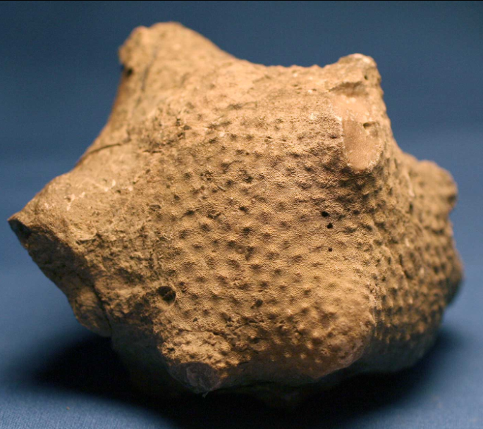
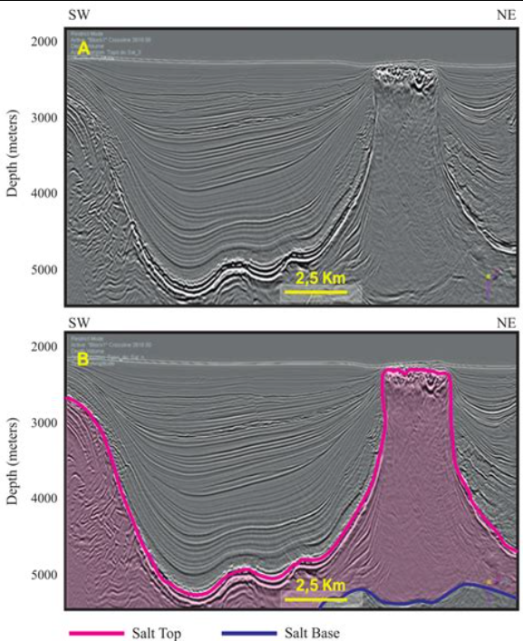
Seismic section of a salt diapir (magenta line)
This one is a little less clear. Salt walls are long walls along most of the valley walls shown on the Paradox Basin map above. The pink is the salt. It pushes up the overlying formations and then gypsum (yellow) forms on the surface. In the desert environment gypsum is fairly recalcitrant to erosion.
Continuing our tour of Utah National Parks — getting to the parks before the morons begin defacing them with the tacit or maybe explicit approval of the current administration – we did a leisurely drive from Cathedral City to Richfield, Utah and then into Moab on day two. We once again did the two-lane blacktop route from Cathedral City to almost the CA-NV border, enjoying desert landscape, geology everywhere and wildly uncrowded highways. We did not see the fat-arsed camo-commandos meeting at the Primm Casino and Hotel on the border this trip in their tricked out mini-van “transport vehicles”. It had been pretty entertaining to see four wildly overweight, 30–60-year-olds in full military field garb (with puckering buttons and bellies hanging far over the pants until it appeared that their wieners might sneak out over the top of their stretched to the limit waistbands) jump out of the mini-van and watch it bounce off the stops and hear the springs and shocks relax. It is always a surprise to see that place is still open based on the dearth of cars, the closed outlet mall and the general visible disrepair. The busiest places on the property are the gas station and the lottery sales/drug emporium/brothel (camo-commando hookers!!) store on the south side of the property. Just to be clear, the last two businesses that I think are operating in that particular location are my opinion based solely on visuals of the parking lot.
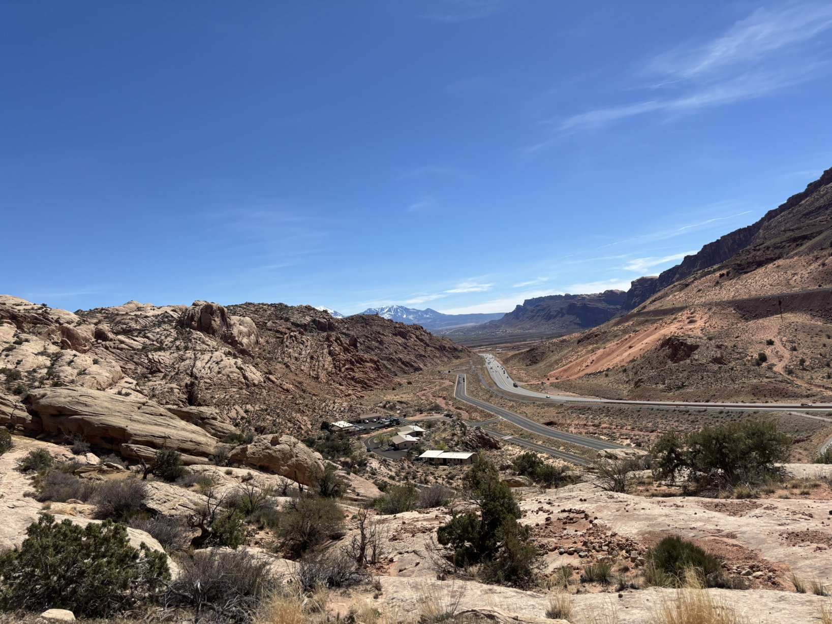
So, enough negativity! We arrived at the entrance to Arches NP around noon after the drive up from Richfield. I did get to show Joni where 38+ years ago, a Utah state trooper pulled me over while driving the Mazda RX-7 on the then two-lane portion of I-70 coming down off of the San Rafael Swell. He suggested that if I stopped in Green River at his brother-in-laws cafe, and promised not to speed in Utah, I could continue on to Denver with only a warning for doing 80 mph in a 55-mph zone at 7:00 AM on a Sunday morning. Since I had already expressed to him my surprise since my last glance at the speedometer indicated that I was going somewhere north of 110 mph, his offer seemed fair. As an aside, I-70 from the I-15 intersection east until Morrison, Co. is undoubtedly one of the prettiest stretches of fast-moving interstate highway in the country.
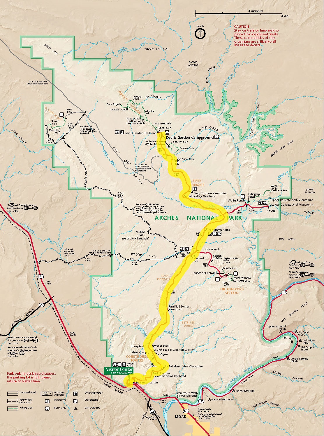
Our first afternoon was more of a reconnoitering of the park to see some of the sights and plan an early morning arrival on day 2 to help beat the crowds to the primo spots. The scenic road through Arches is about 18 miles one-way. It has been designed to get relatively easy access to the more scenic park features.
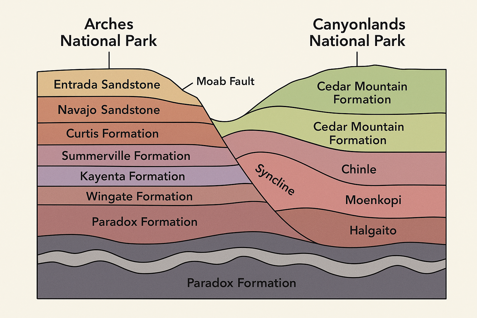
Geologically, Arches NP is within the Paradox Basin which is a subregion of the Colorado Plateau which we have looked at in several earlier posts. A cartoon, highly generalized, stratigraphic section is below with east on the left and west on the right (chat-gpt needs more geology training).
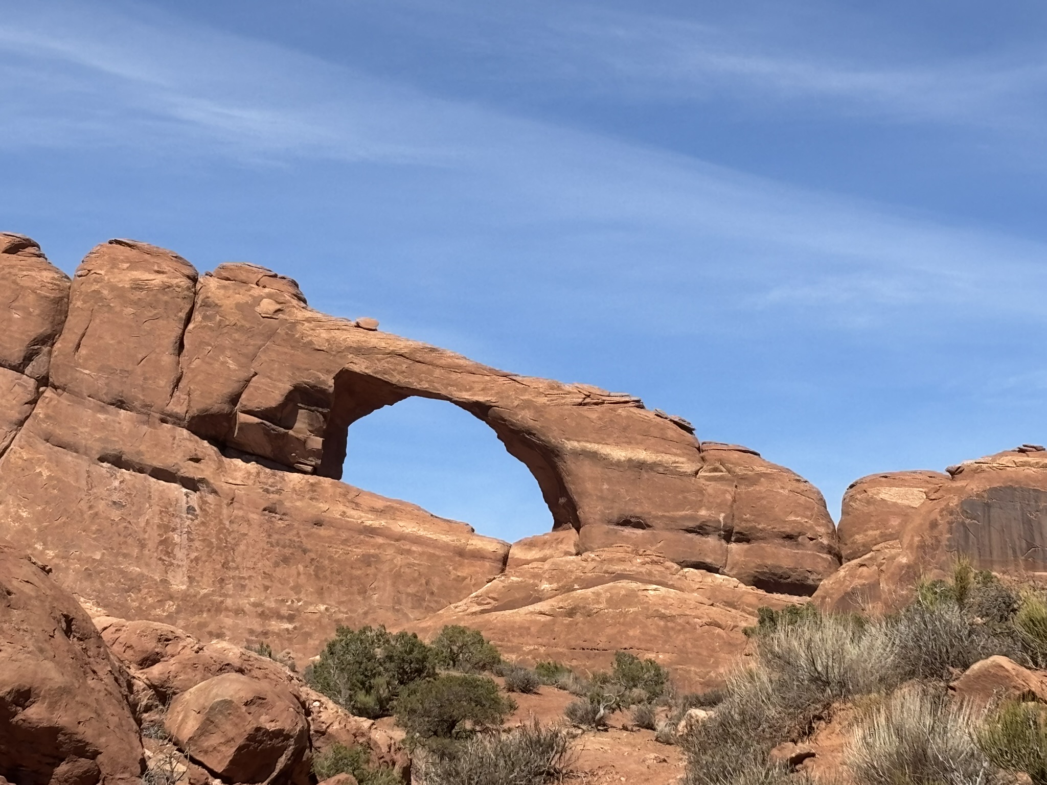
To help understand the arch forming process, I’ve highlighted important events or properties of the rock formations that enhance the arch forming ability of one type of rock over another. Most of the arches in the park are in the Entrada Sandstone which is a 170- to 160-million-year-old formation, deposited as sand and silts in dunes and in tidal flats. It includes thick rock units that are relatively porous and permeable, generally weakly cemented rock. Over time, the underlying Paradox Formation which has significant salt deposits experienced several episodes of uplift and deformation particularly in the salt layers which in turn, created uplift structures like domes, anticlines and synclines, enhancing the formation of joints in the overlying geologic formations including the Entrada Sandstone. With the subsequent uplift of the Colorado Plateau and longer-term stresses being applied to the formations from relatively the same directions, parallel jointing formed especially in the weaker cemented formations like portions of the Entrada Sandstone. Water, especially during freeze-thaw cycles, infiltrated joints in the formations and expanded them. Wind and occasional flash flooding removed loose grains from within the joints and chemical weathering enhanced and accelerated (geologically speaking) the rock disintegration, particularly in the joints. Vertical fins of rock formed between the joints as erosion exploited joint systems. From there, as the fins disintegrated,small windows opened, eventually enlarging and surviving as natural arches. The large arches take millions of years to form.
In the end, we get to enjoy stunning vistas. There are two groups of pictures below. If you double click on a picture it will enlarge. To get back to the blog, use the back arrow on your browser.
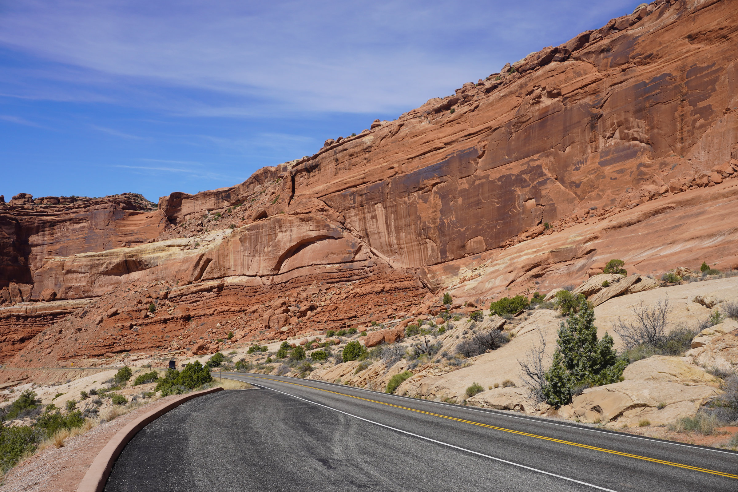
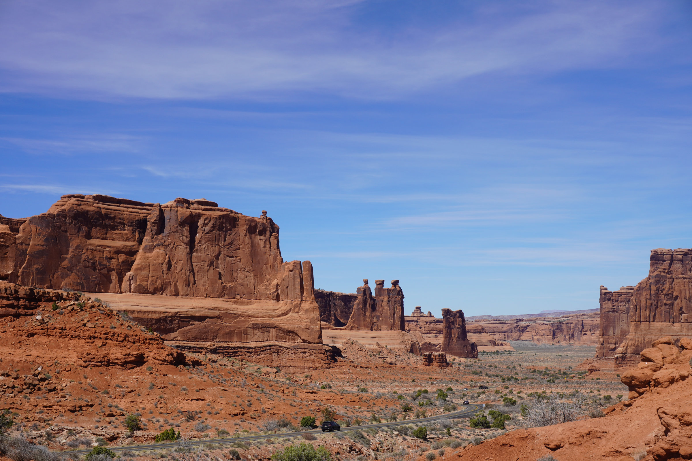
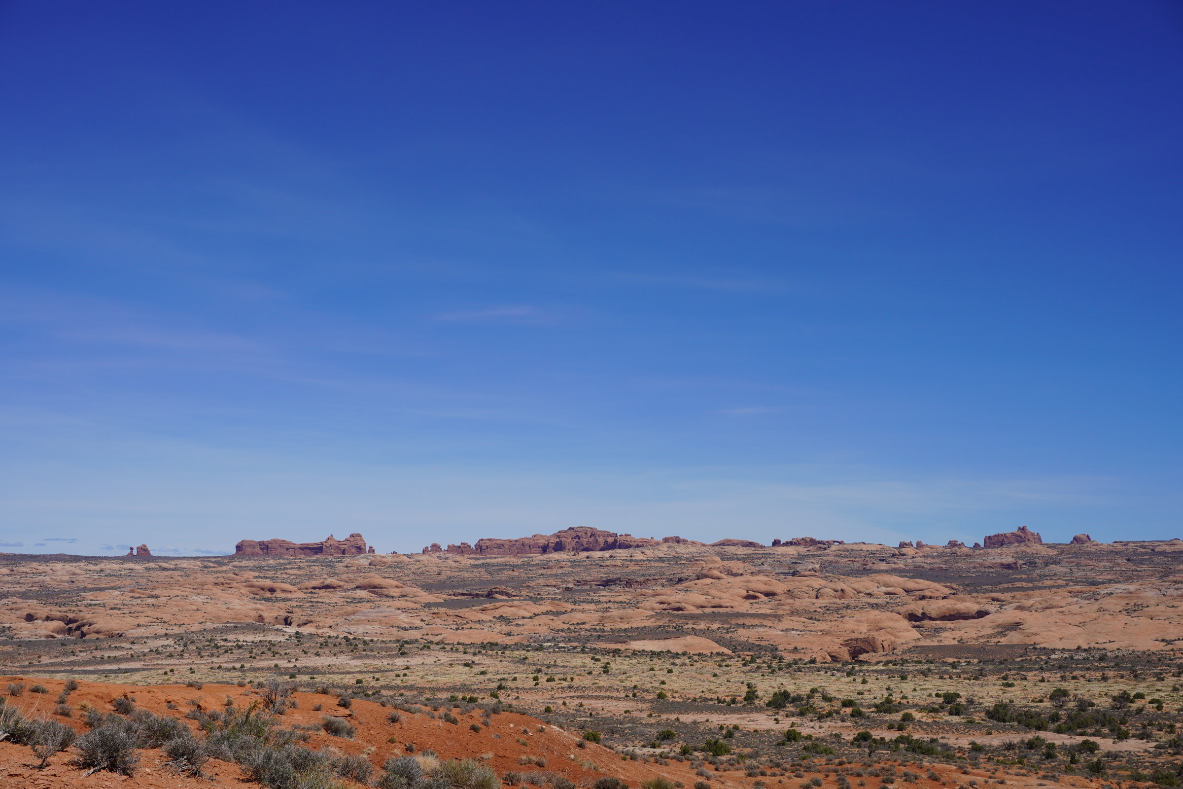
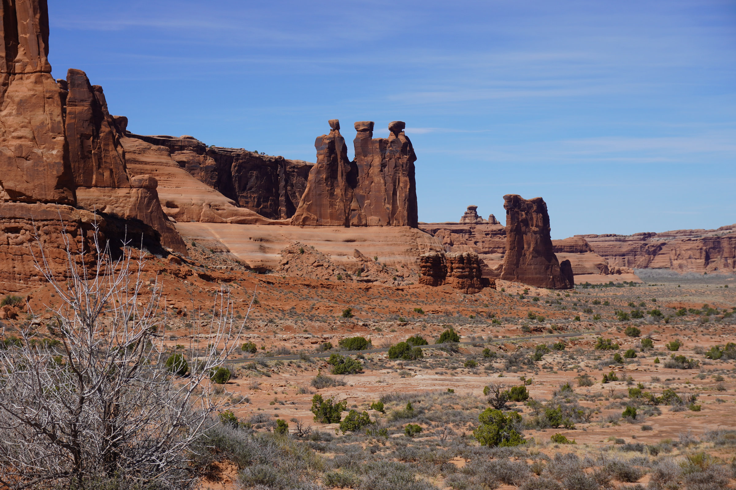
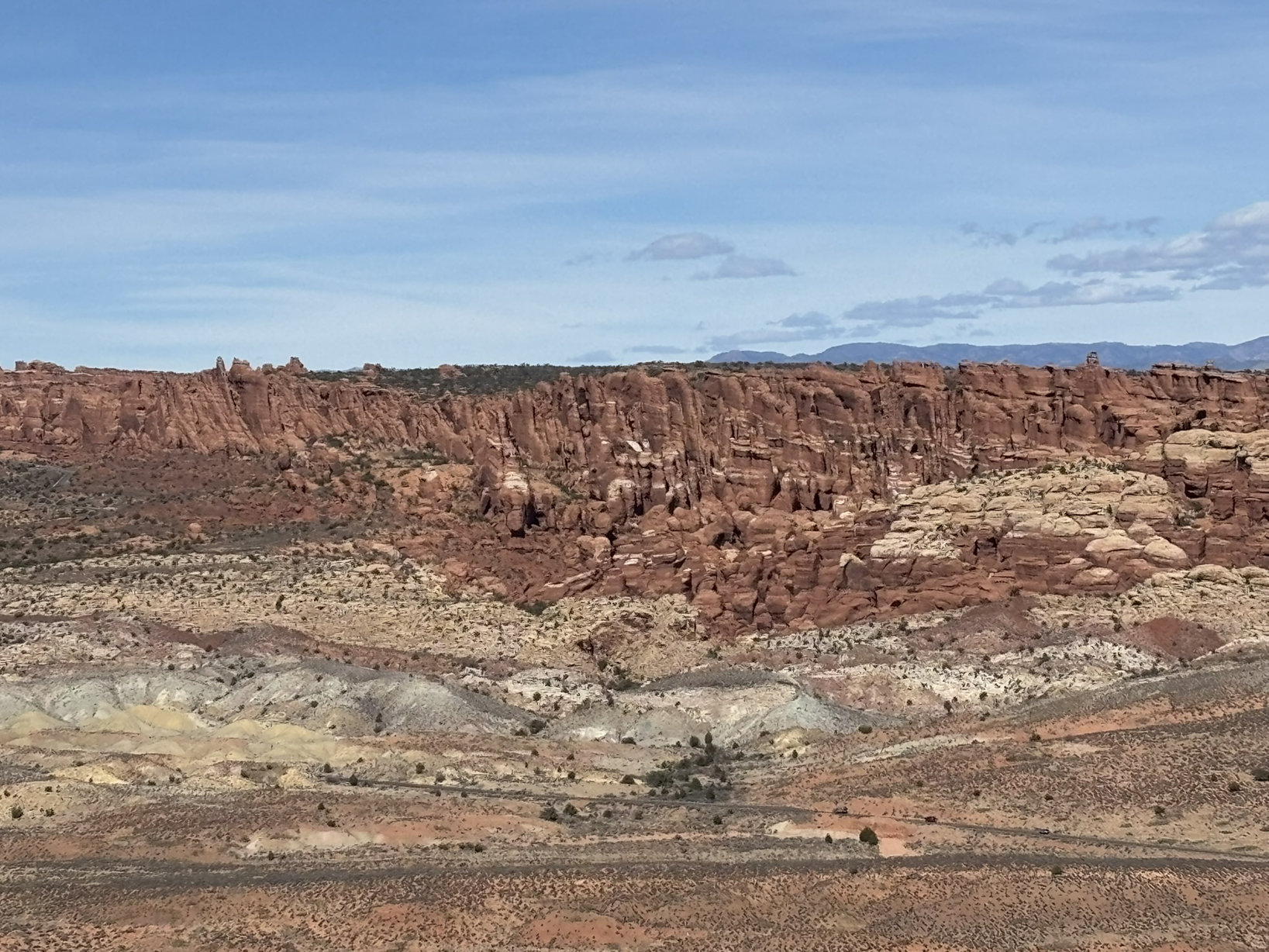
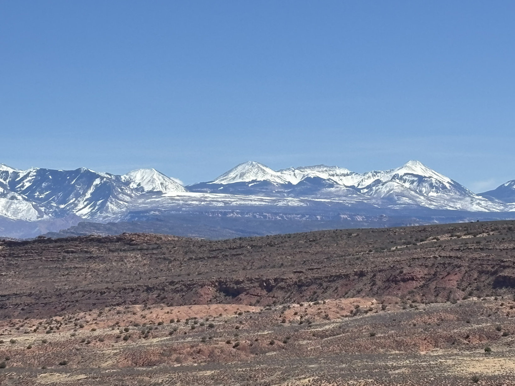
Group 1 – Day 1 – Red Rocks as Far as the Eye Can See
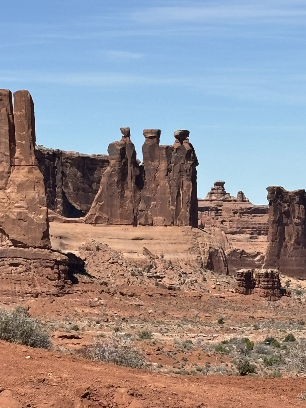
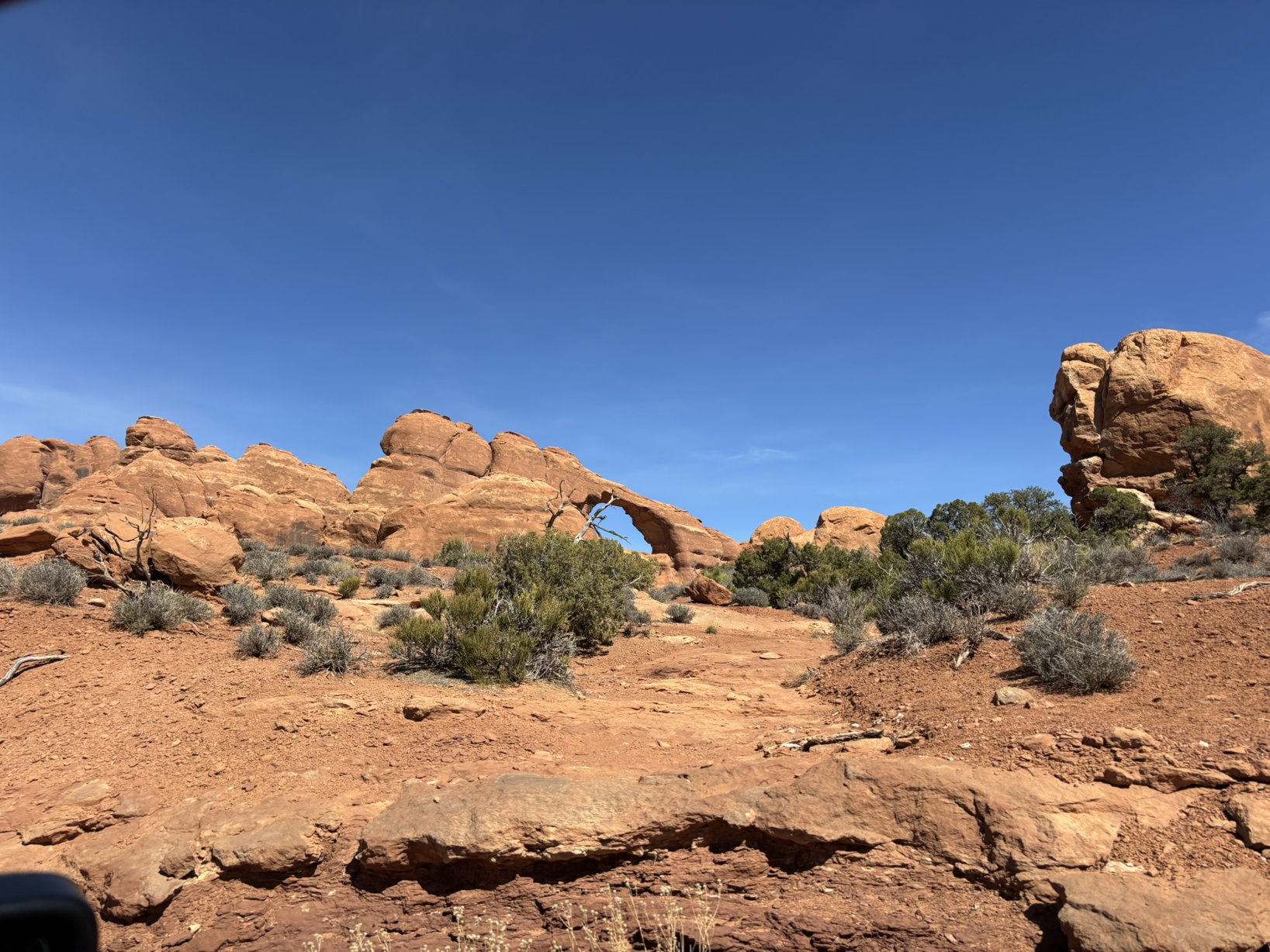
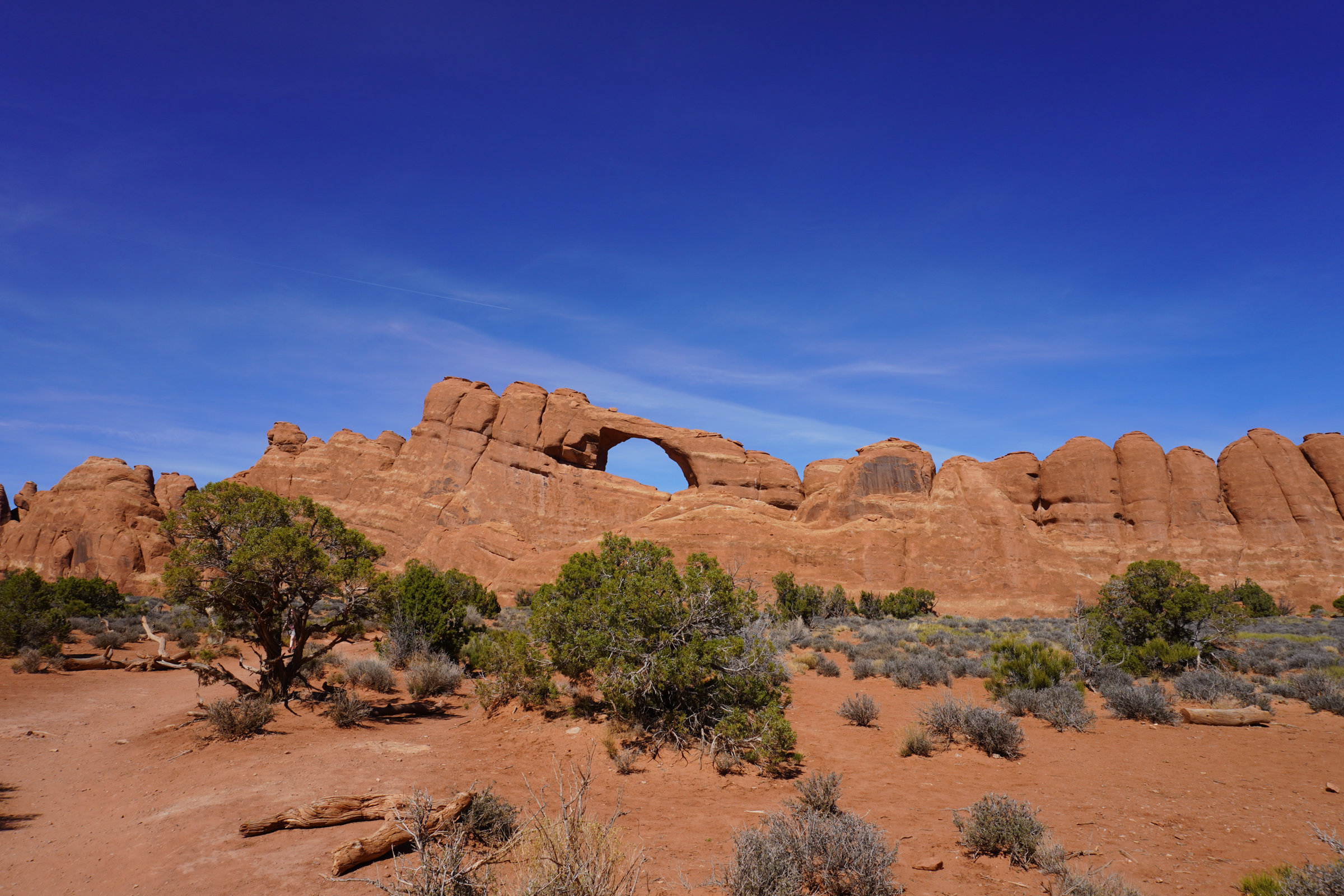
Group 2 – Day 1 – Arches
We had a plan for day 2 so we headed into Moab. We had reservations at the River Canyon Lodge. Can’t say enough good things about this spot. The rooms are small but comfortable. The AC/heater is more than adequate for both cooling and heating. The beds are comfortable with great bedding. The folks at the front desk are incredibly friendly, knowledgeable and forthcoming with recommendations and information. There is a large spa and a pool, plenty of parking and an elevator. The only thing missing was in-room coffee. However, they had an incredibly well stocked coffee bar just off the lobby and it was a great place to meet and chat with other guests. Best of all, at least for the time we were there, it was very reasonably priced. The front desk recommended Pasta Jay’s for dinner a very respectable Italian and pizza restaurant with great pricing and service and tasty fare. Apparently, there is also a Pasta Jay’s in Boulder, Co.
Back to the 45-year absence. At the northwest corner of Moab there was a uranium mill which came into existence in the mid-1950’s during the big uranium mining push in this area so that the US could bomb the bejesus out of the commie Pinkos before they bombed us. In 1962, Atlas Minerals acquired the mill and in about 1980, they hired the firm I worked for to start planning for the ultimate closure of the mill. Several of us spent a couple of months in Moab. This mill had not been operated in an environmentally friendly manner with the biggest problem being radioactive tailings generated in the milling process being placed within pissing distance of the Colorado River and on top of a recharge zone for the valley aquifer providing water from wells to many of the residents. We sampled all over the place, the soil, the tailings, the groundwater, the river water, the river sediment…. but not the air. Not to put it to gently, the place was a mess. There was some tailings reclamation that went on, but for the most part, Atlas Minerals was not widely known for their environmental activism. Fast forward and I’ll let the following excerpts from Wikipedia and AI bring everybody up to speed.
Atlas Minerals closed the mill in 1984 and began what they perceived as a reclamation plan. Fast forward… After Atlas Minerals ceased operations and declared bankruptcy in 1998, the responsibility for the site’s remediation was transferred to the U.S. Department of Energy (DOE) in 2001 under the Uranium Mill Tailings Radiation Control Act (UMTRCA). The DOE initiated the Moab Uranium Mill Tailings Remedial Action (UMTRA) Project, aiming to relocate approximately 16 million tons of radioactive tailings to a secure disposal site near Crescent Junction, about 30 miles north of Moab. Relocation began in 2009, utilizing rail transportation to move the tailings to the engineered disposal cell.
As of October 2023, over 14 million tons of tailings and contaminated soil have been successfully relocated. The disposal cell is designed with multiple protective layers to prevent environmental contamination and is expected to be completed by 2029. In addition to the tailings relocation, the DOE has implemented groundwater remediation efforts at the original mill site to address contamination concerns. These efforts include the installation of extraction and injection wells to manage and treat contaminated groundwater, thereby protecting the Colorado River from further pollution.
I could not help but notice as we drove back and forth over the next several days from Moab to the parks that the Mill Site is still under active remediation. What’s 70 years of exposure to high concentrations of radioactive soils, water and air? Arseholes.
By the way, Edward Abbey’s book, Desert Solitaire is more or less a chronicle of time he spent as a temporary park ranger in Arches back in the late 1950’s. One of my favorite Edward Abbey quotes bears current significance; “A patriot must always be ready to defend his country against his government.”
A slower starting morning after the Spaghetti Western dinner and entertainment. Today was mostly planned as an eastern park visit.
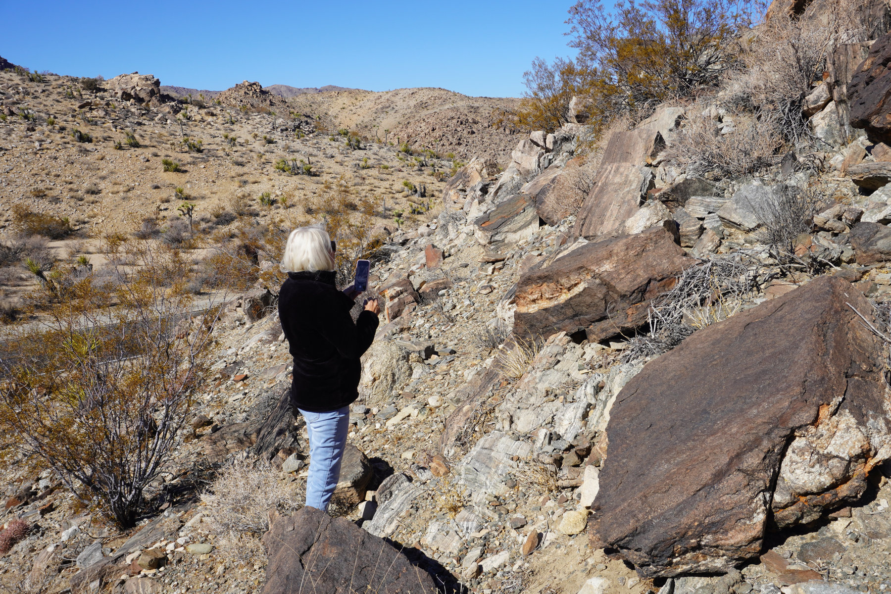
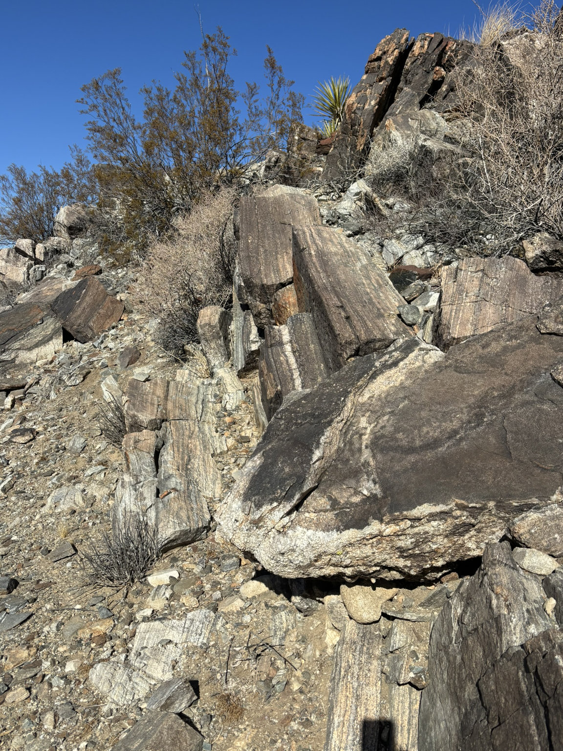
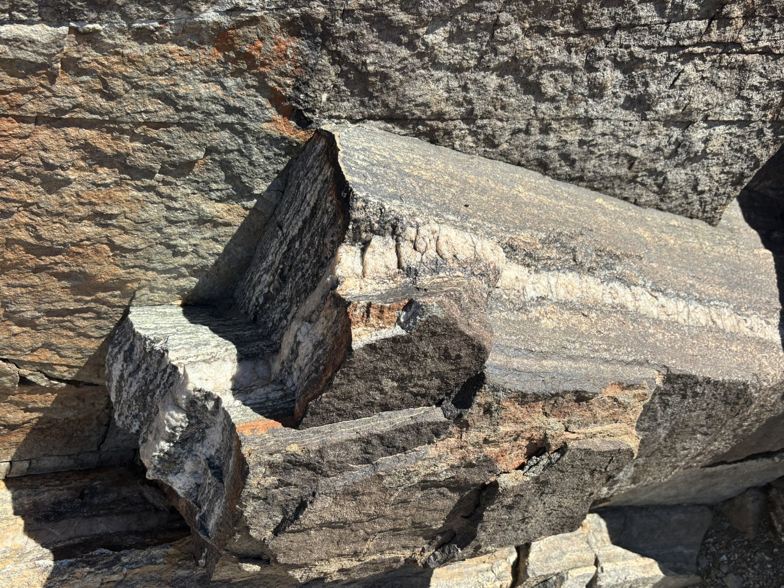
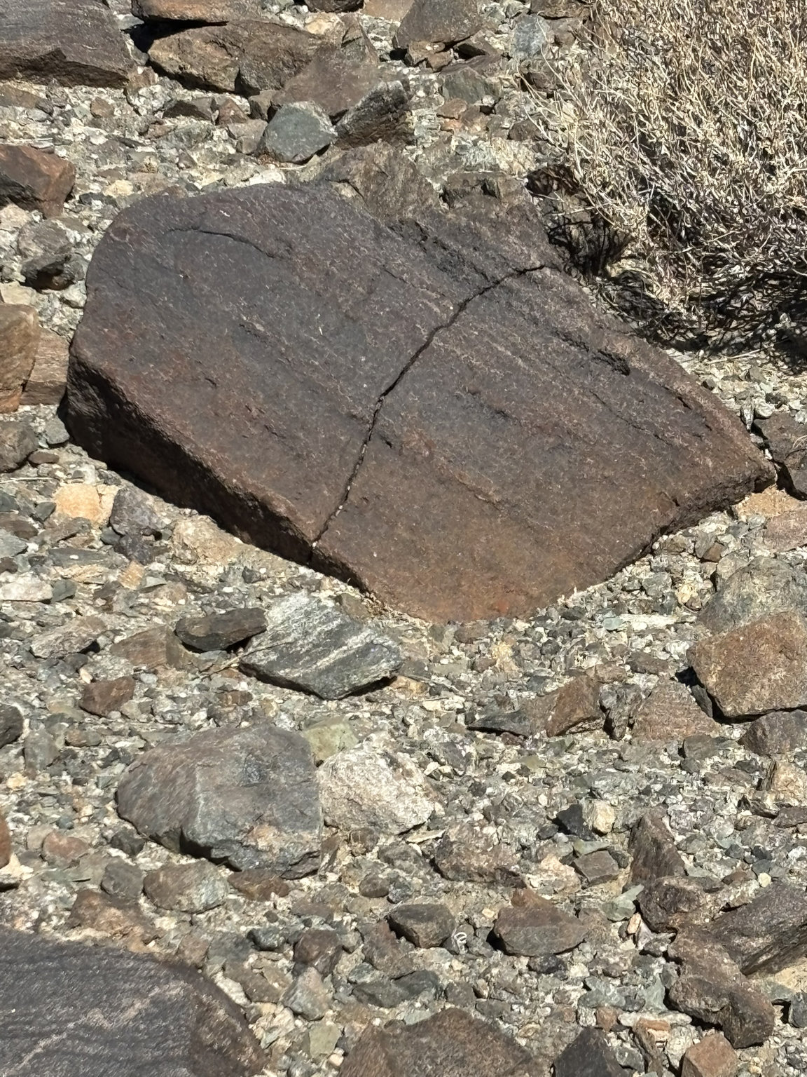
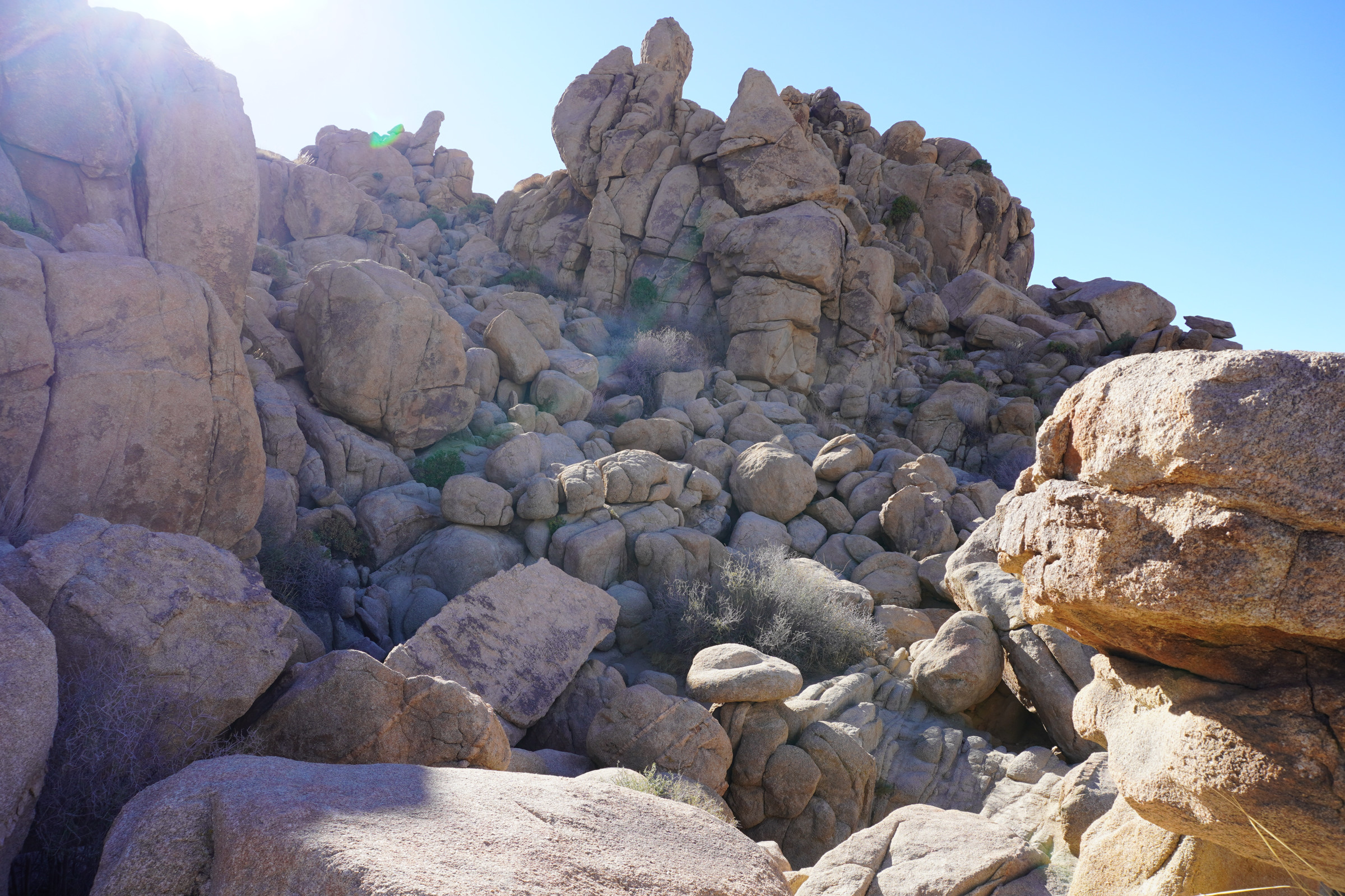
We wanted to take a closer look at the Pinto Gneiss which is the more than 1.8-billion-year-old basement rock found at various locations throughout Joshua Tree NP and in many locations throughout SoCal. It is a metamorphic rock, so it has undergone changes starting out life as a sedimentary rock. It then was subjected to stresses including pressure, heat and chemical changes as it migrated from its deposition location to deep beneath the surface of the earth (20-30 km down) and subjected to temperatures of from 600-750 deg Celsius (around 1,200 deg Fahrenheit)
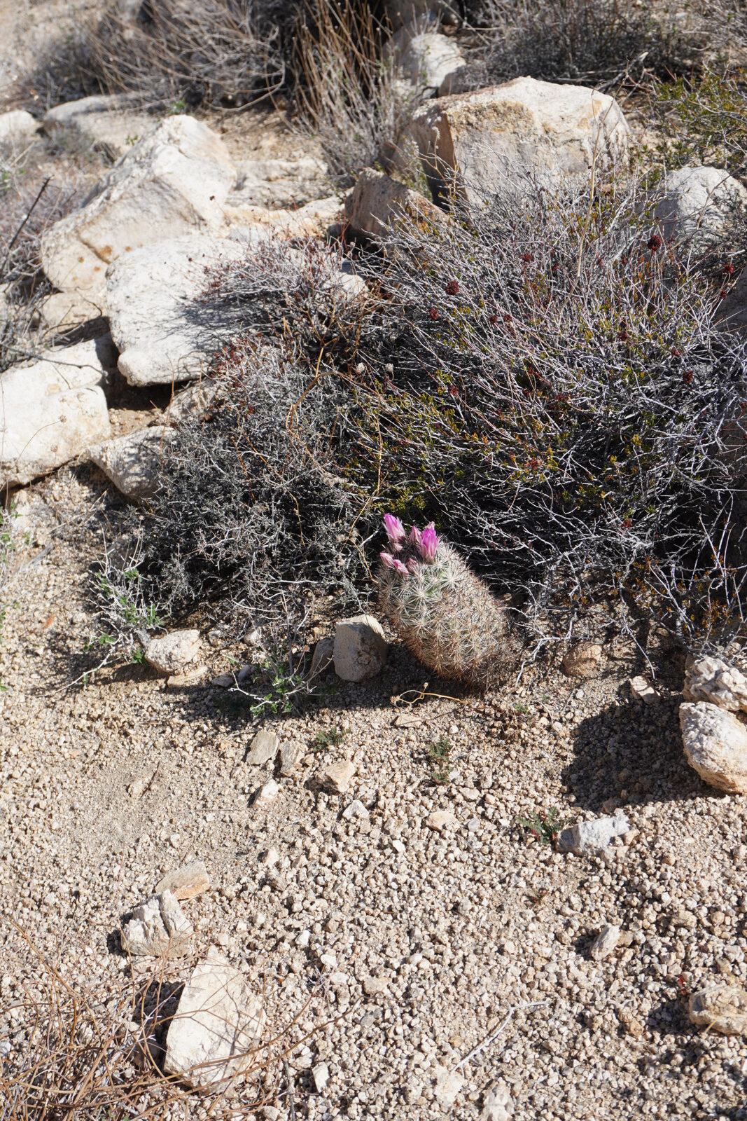
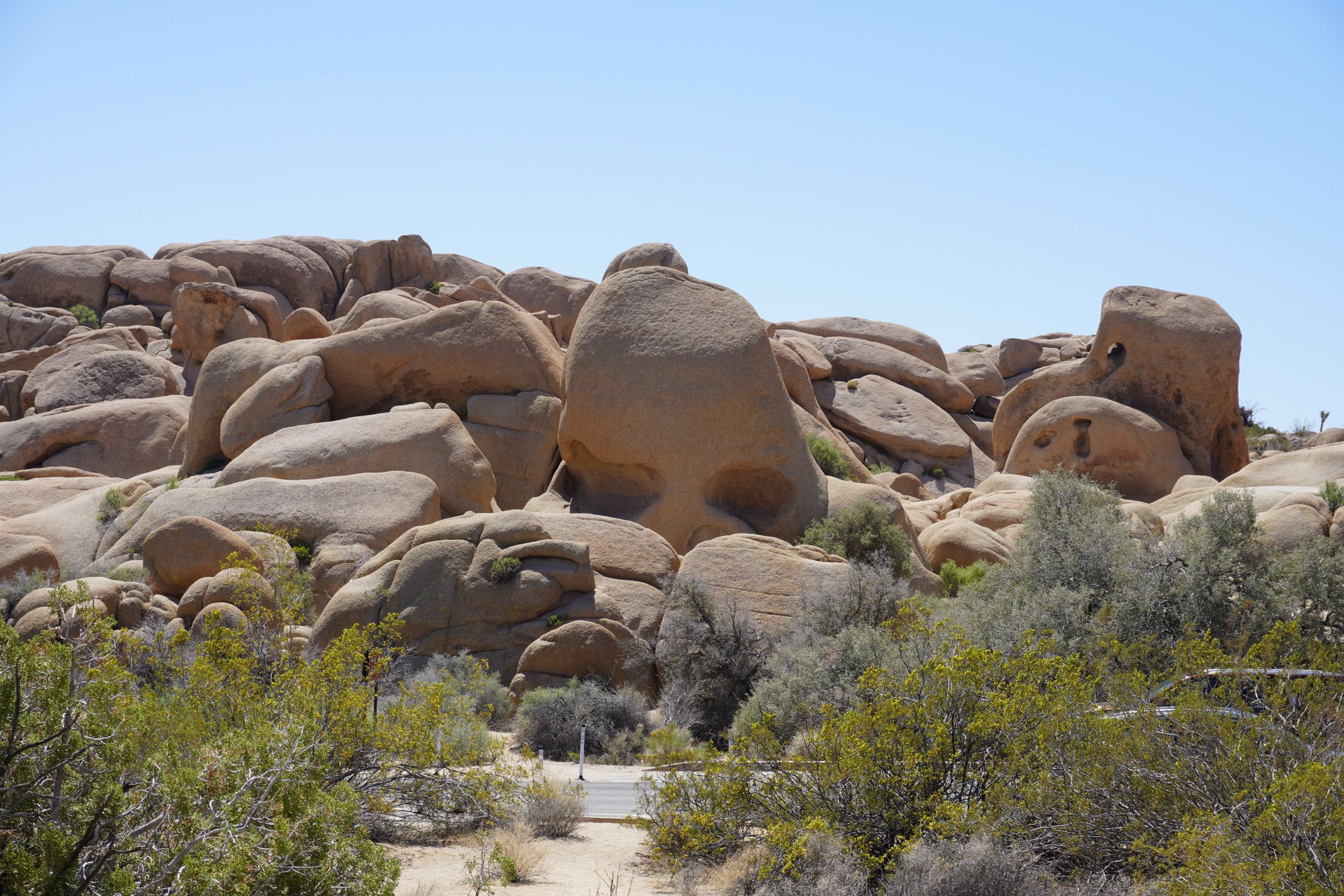
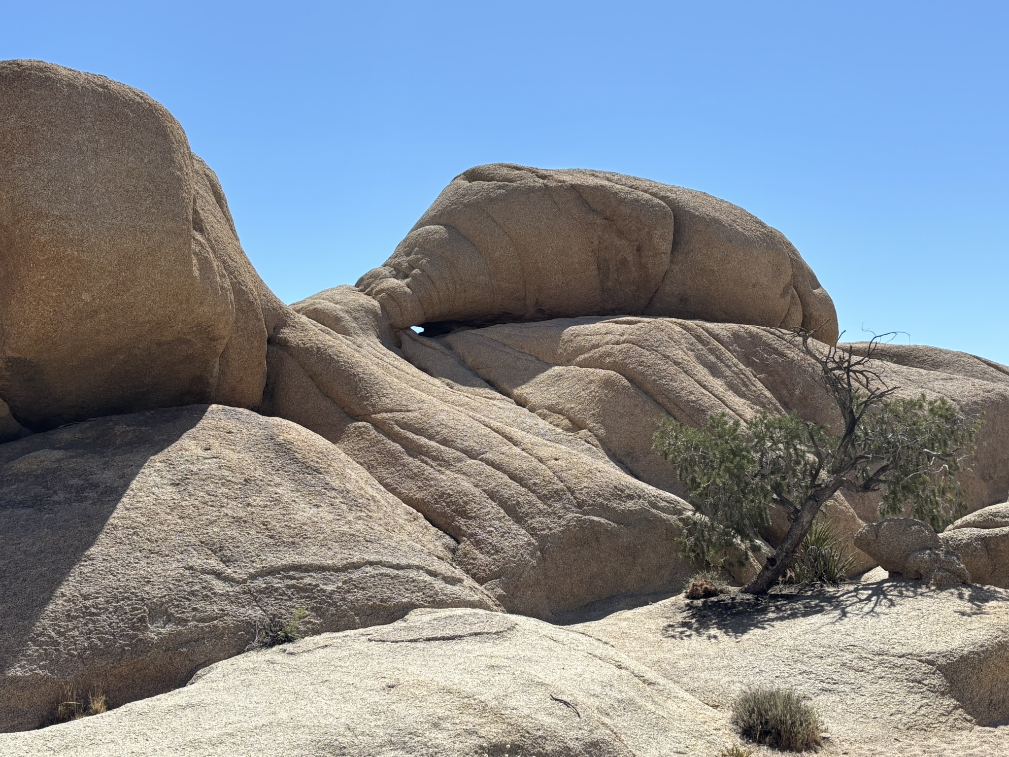
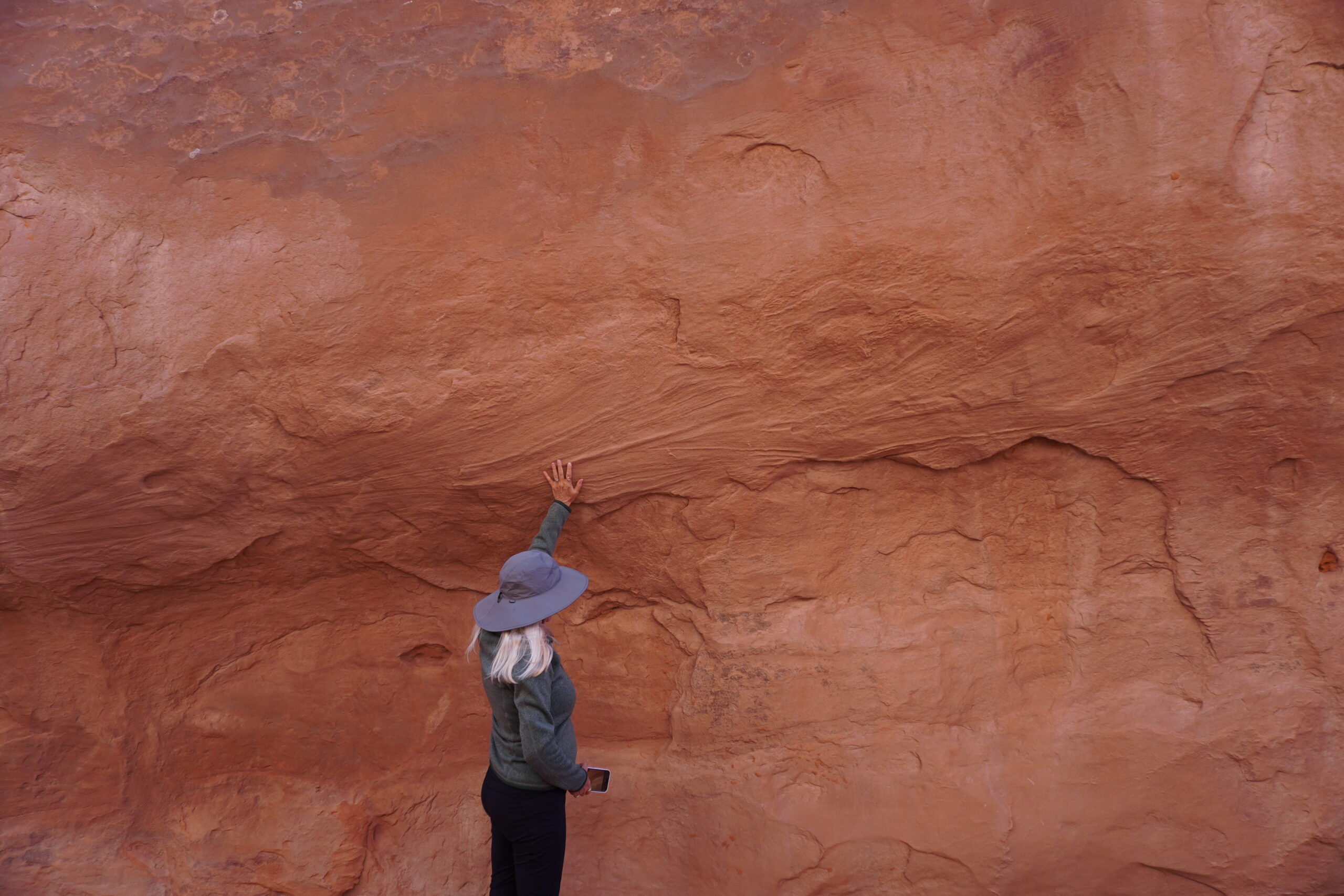
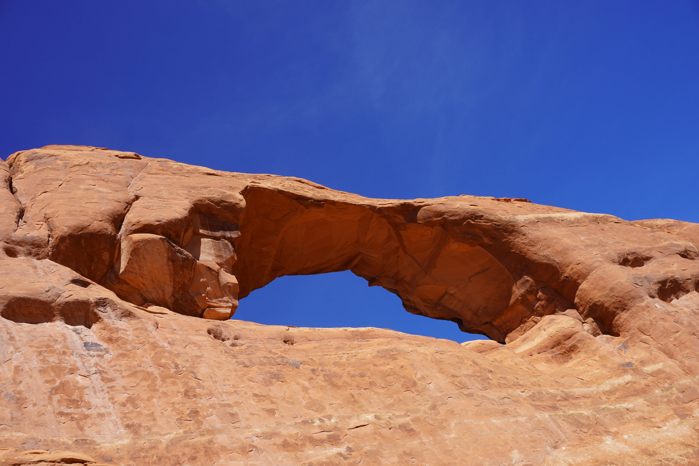
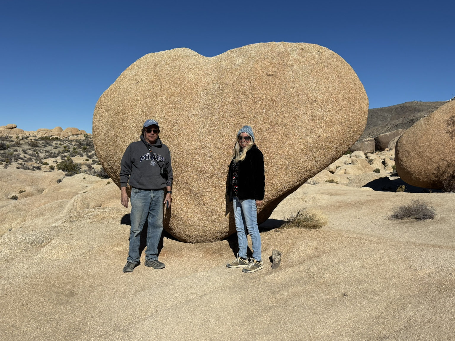
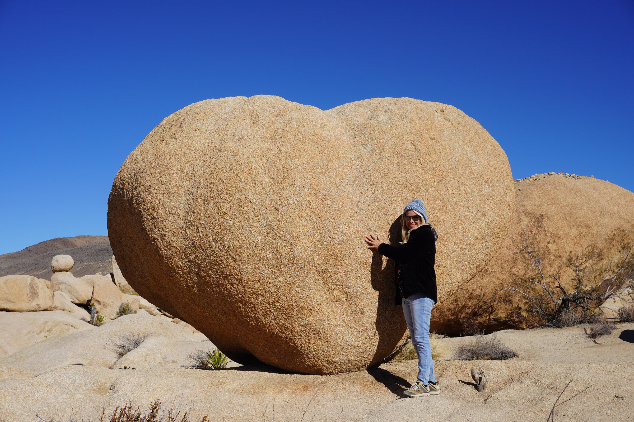
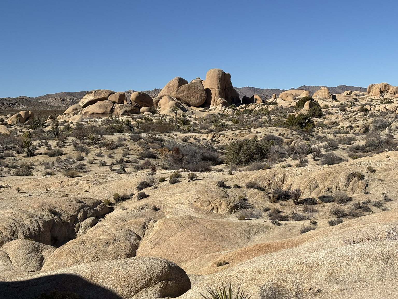
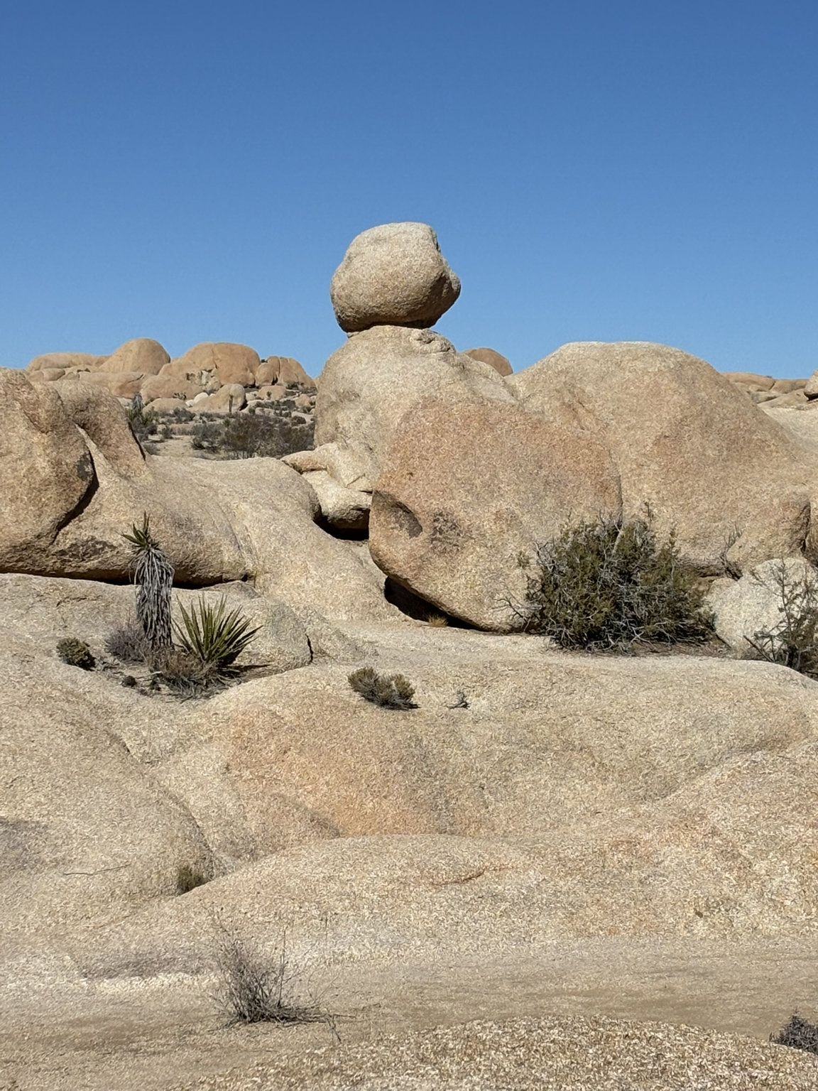
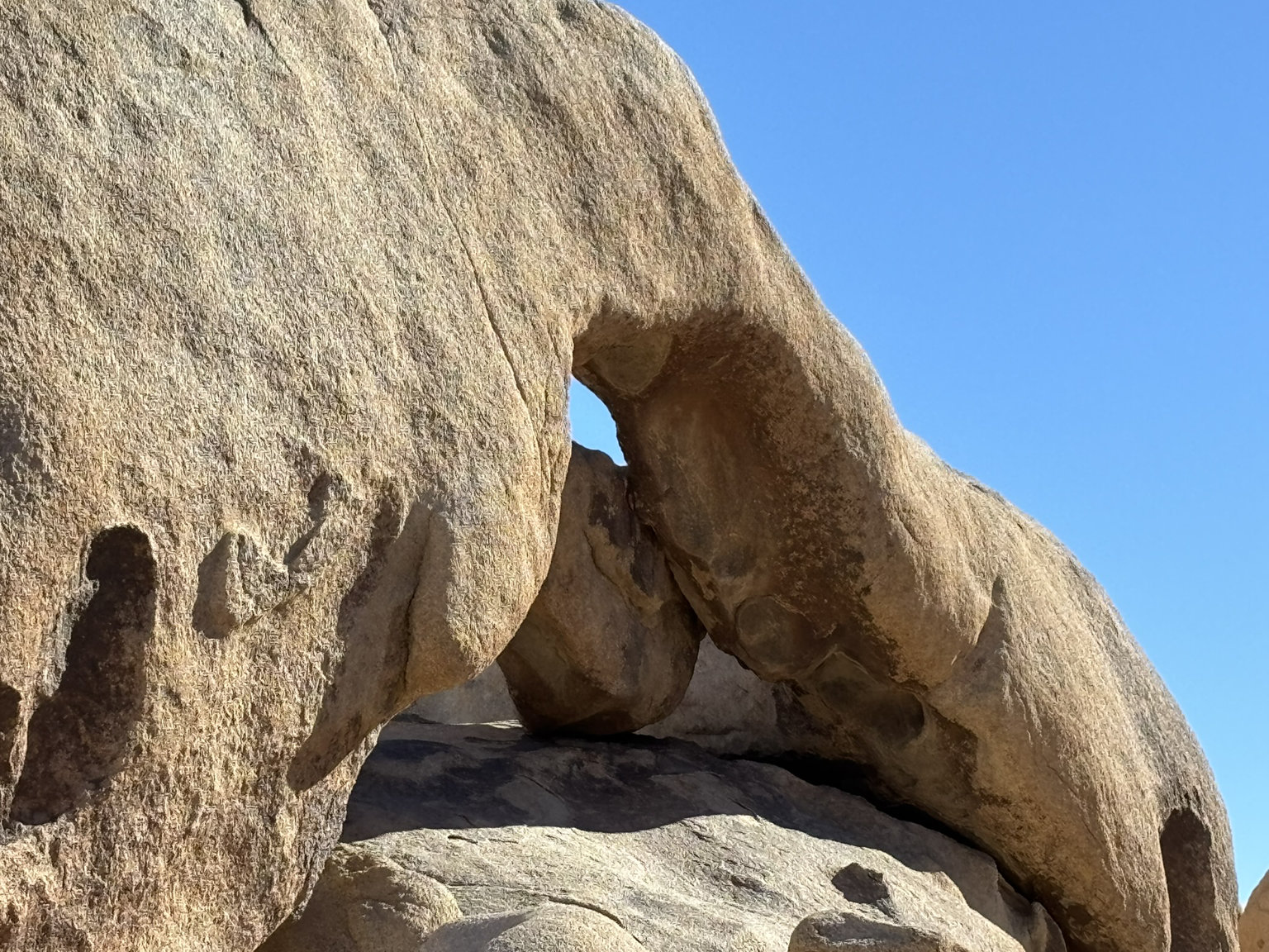
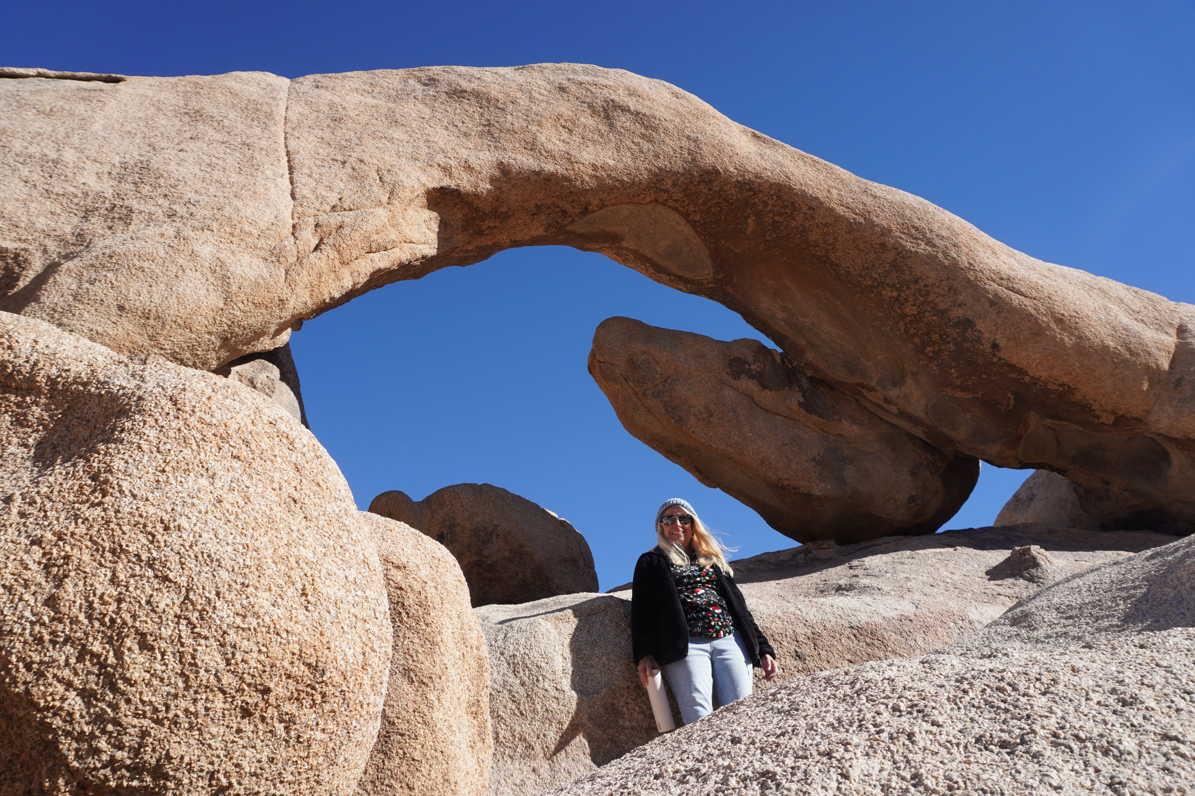
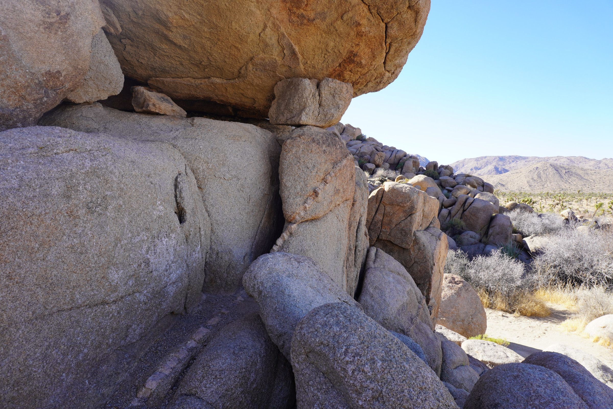
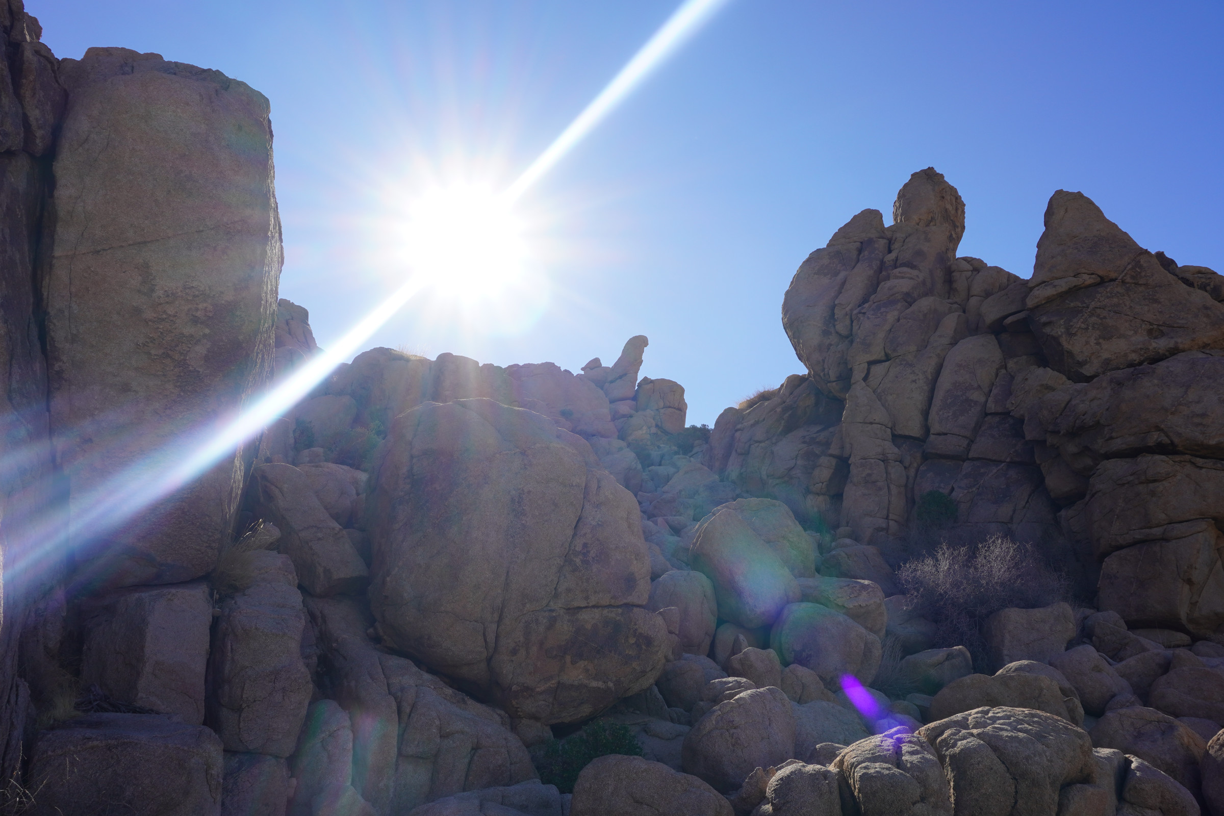
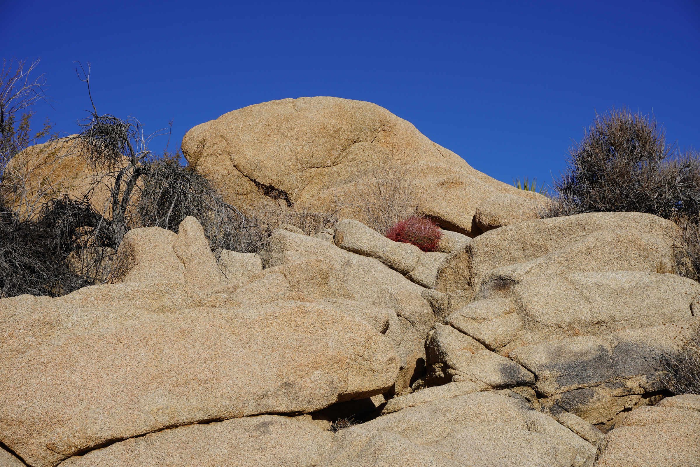
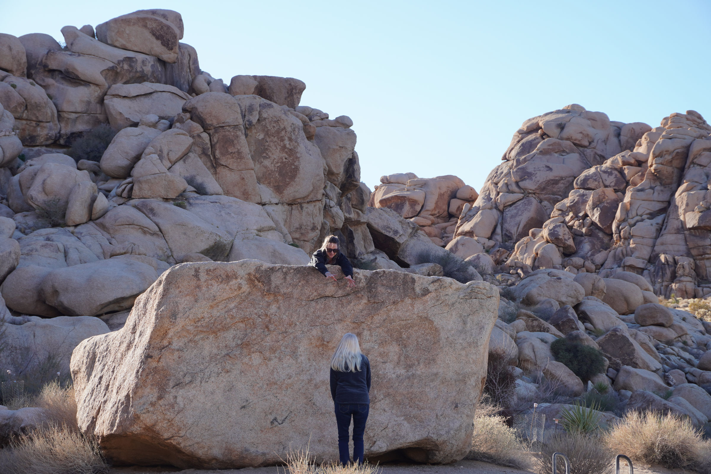
Our second stop, Arch Rock, is one of our favorite short hikes/walks at Joshua Tree. A very low key, almost flat walk on a maintained trail until you get into the rocks. Then it’s like you’re a kid all over again wanting to climb rocks, hollering to your wife “Hey, I’m up here”. Telling your wife to be careful and don’t slip or fall. Always a great experience, and the geology!! What it lacks in petrologic diversity (Monzogranite of Whites Tank – somewhere around 140 +/- 30 million years old), it makes up for in its weathering and erosional expression. First stop is Heart Rock and then on to Arch Rock.
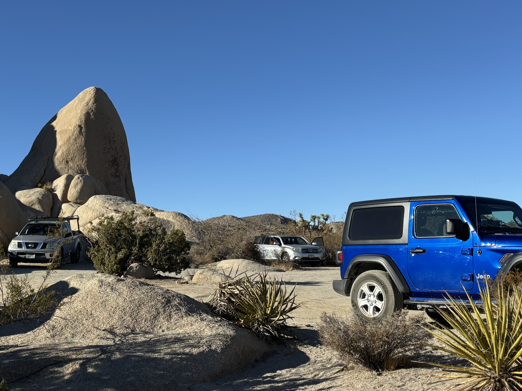
Finally, lunch and a beer at the closest picnic area. It was a somewhat crowded day in the park since it was a Saturday, and the weather was pretty nice. It is clear that some families pack up all the kids and relatives (probably in one car to minimize entry fees with the beer, music, food, chairs and soft drinks in the pickup behind) and head up to the park for a day away from home.
Got back to the Airbnb and a brownie was created. A very nice pizza for dinner and then a trip to the Dollar Tree in Joshua Tree to get some ice cream for the brownie.
All in all, it was a great way to start out the 70th trip around the sun!
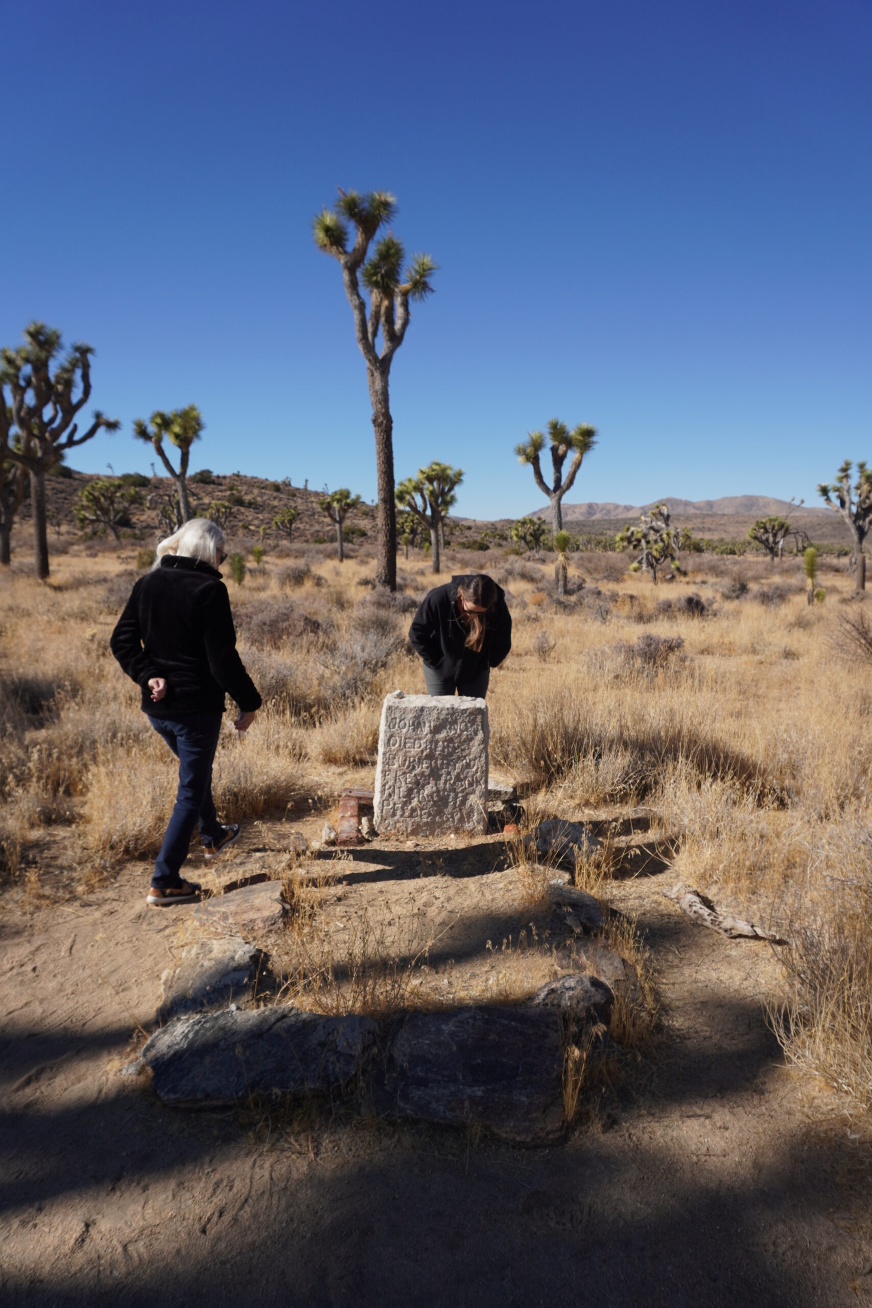
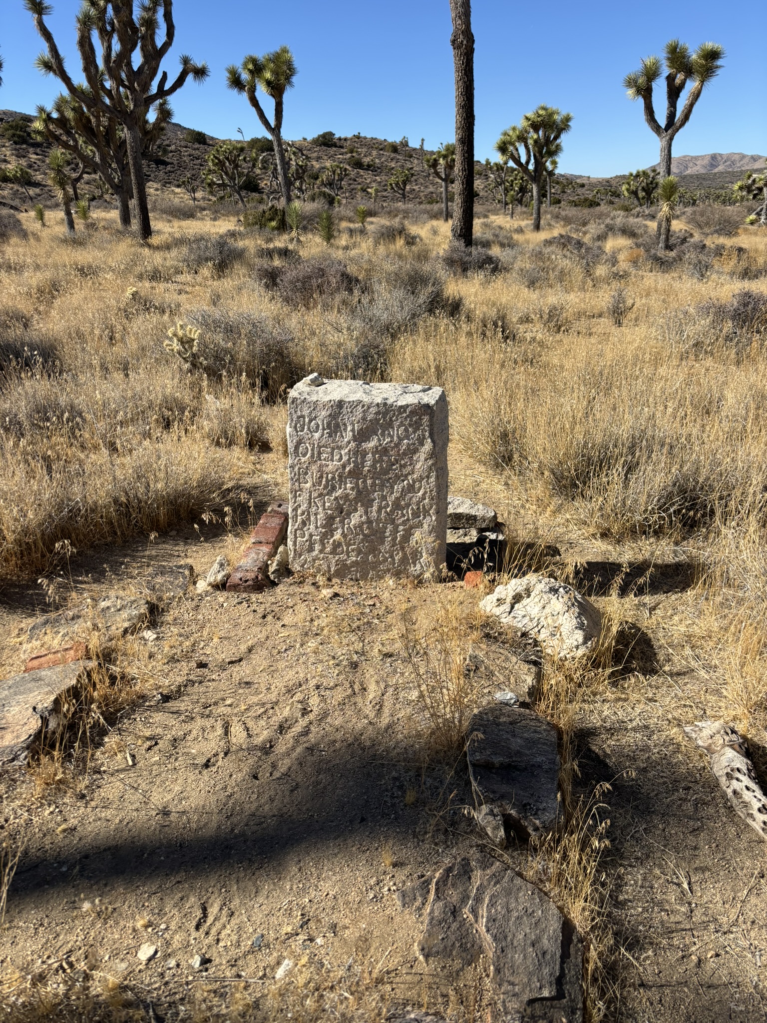
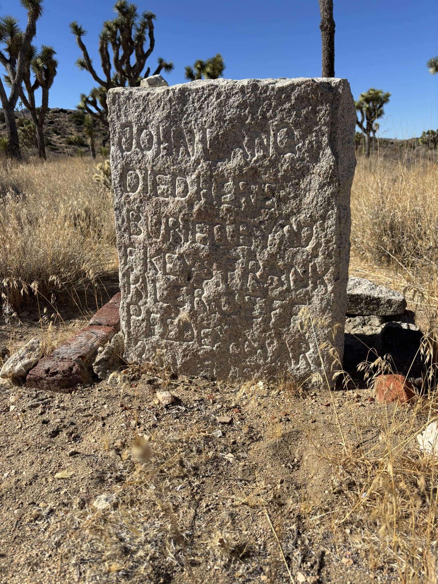
An earlier and cooler morning for this day’s travels! This day was devoted to geology, scenery and concluding what has been an elusive hunt for the last resting place of Johnny Lang.
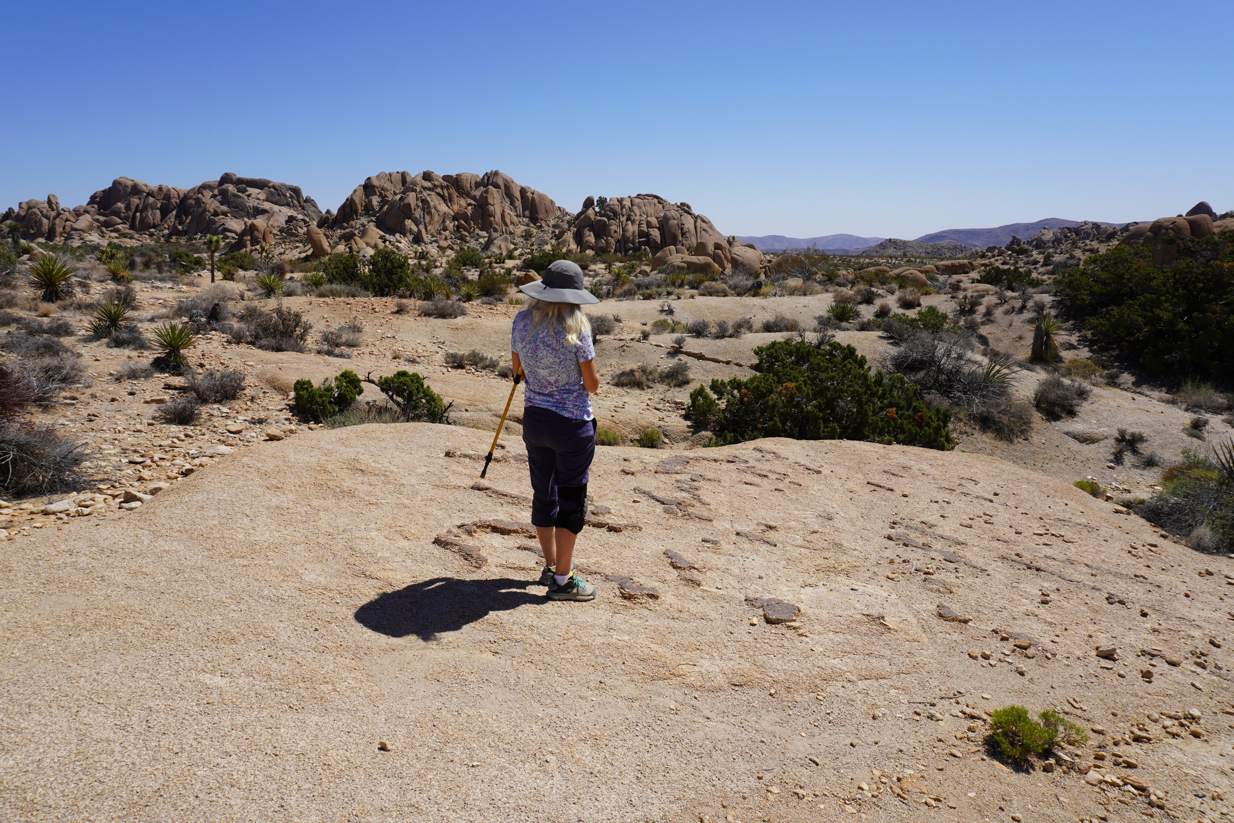
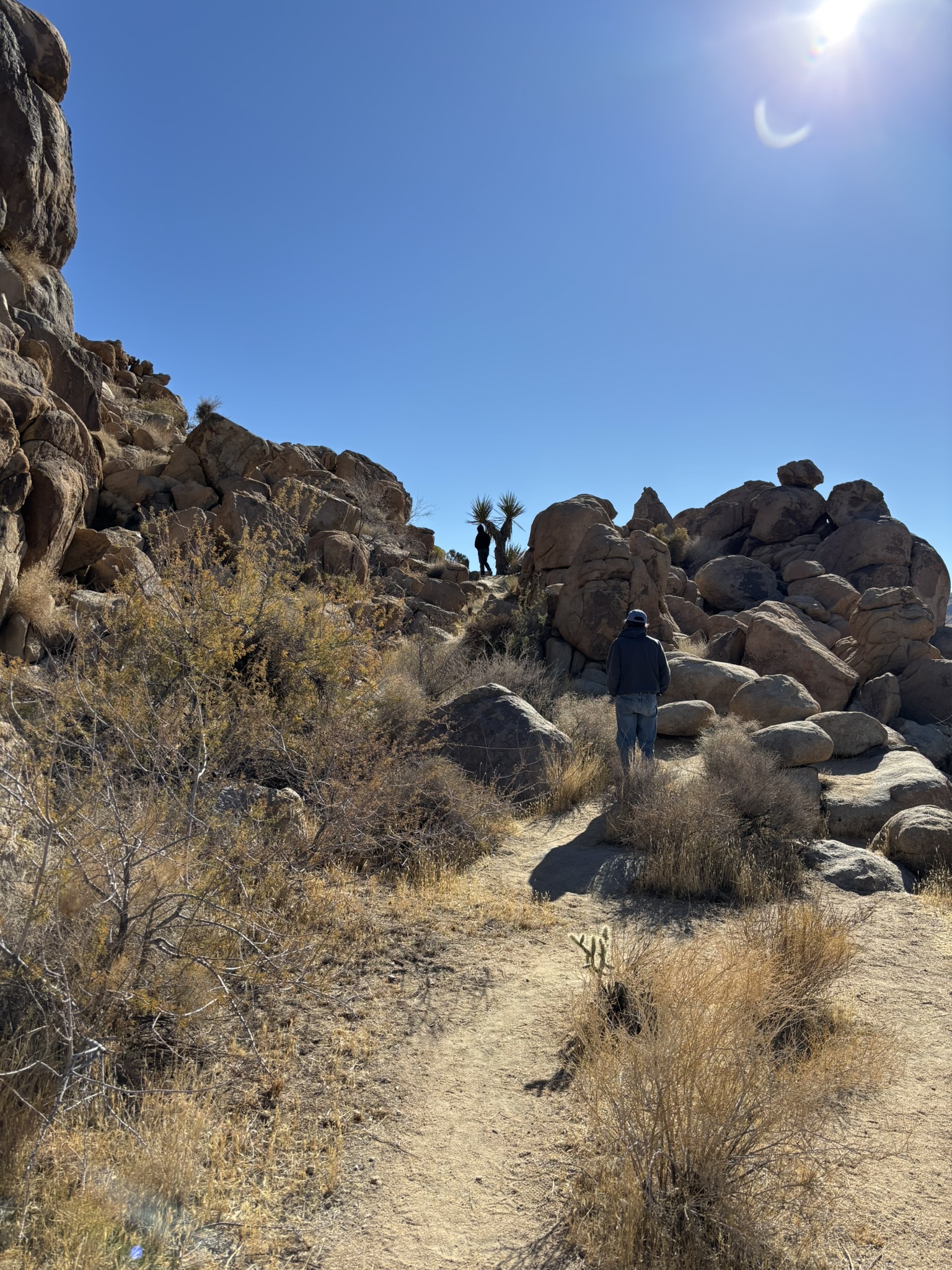
An aside. Thanks to digital cameras small storage footprint and the ability to delete at no cost, I take a lot of pictures. Sometimes they are good (very occasionally), sometimes they are so-so (more often than not), and sometimes they are junk. However, sometimes the junk ones are the ones that you wanted the most. I generally have a suspicion or even awareness when I think a photo is not going to turn out. My problem is that as I take the photo, in the back of my mind, I hear Seals and Crofts singing “We May Never Pass This Way” which way back in 1973 had a very defining influence on me. So here is the picture I am talking about. Later in the day with a different sun angle, this would have been, as Captain Ron says, “A CLASSIC”. For now, you have to squint a bit to see that the shadowed figure in the lower portion of photo is Joni.
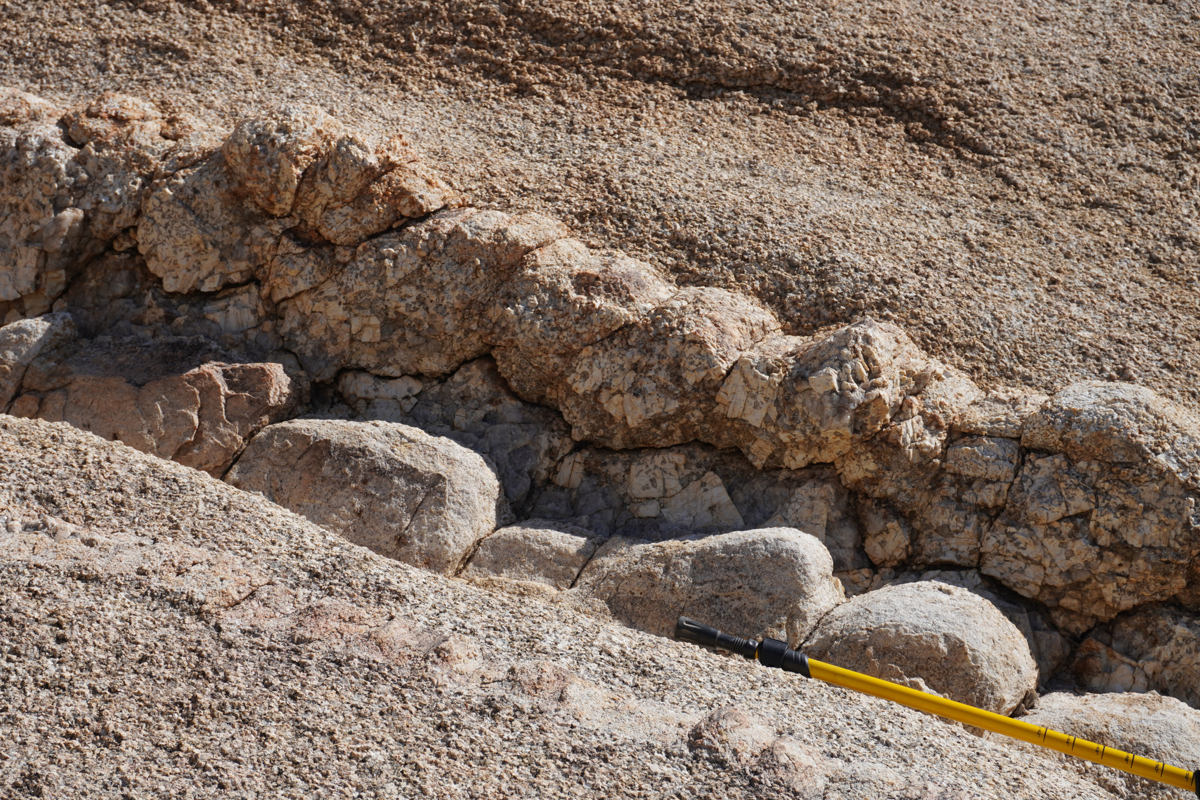
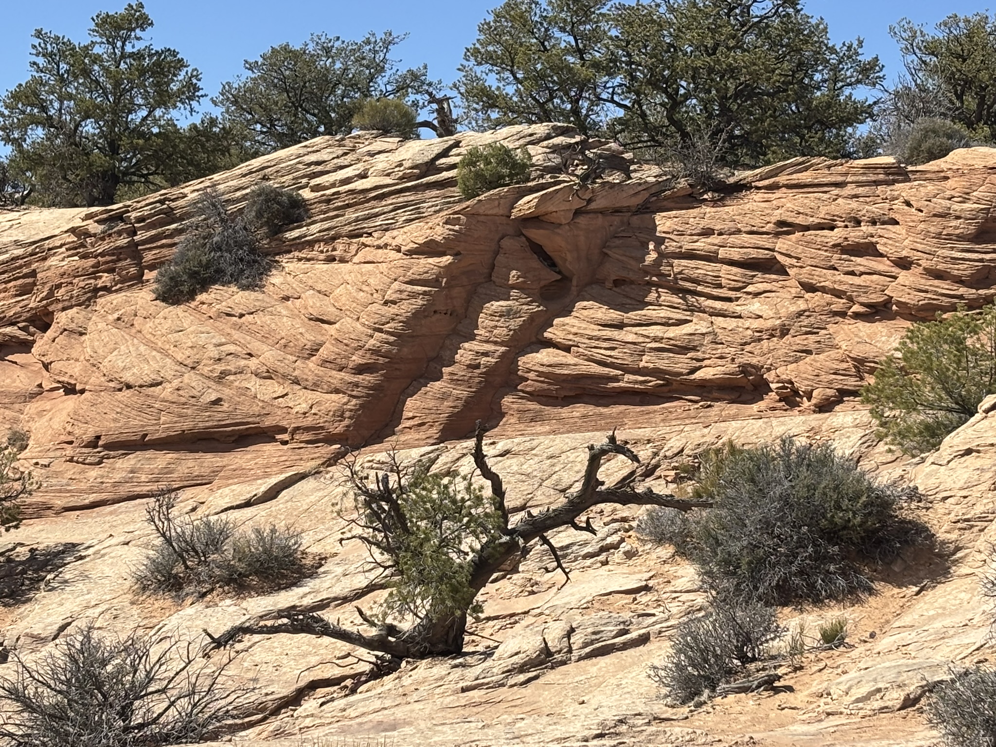
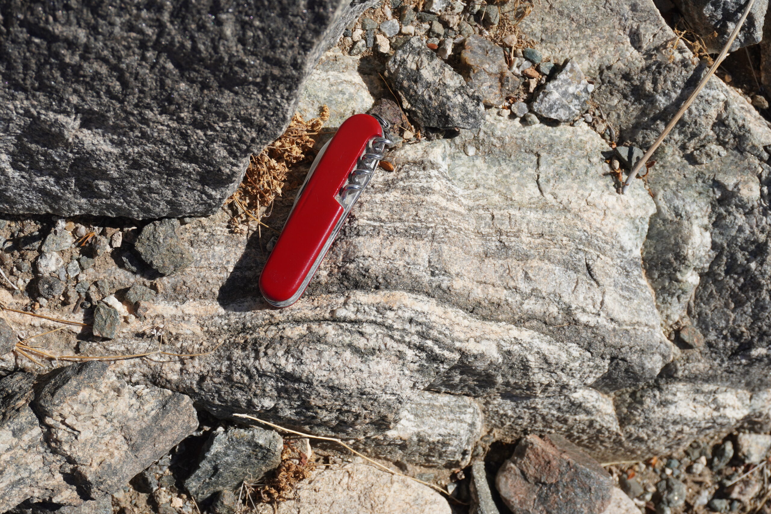
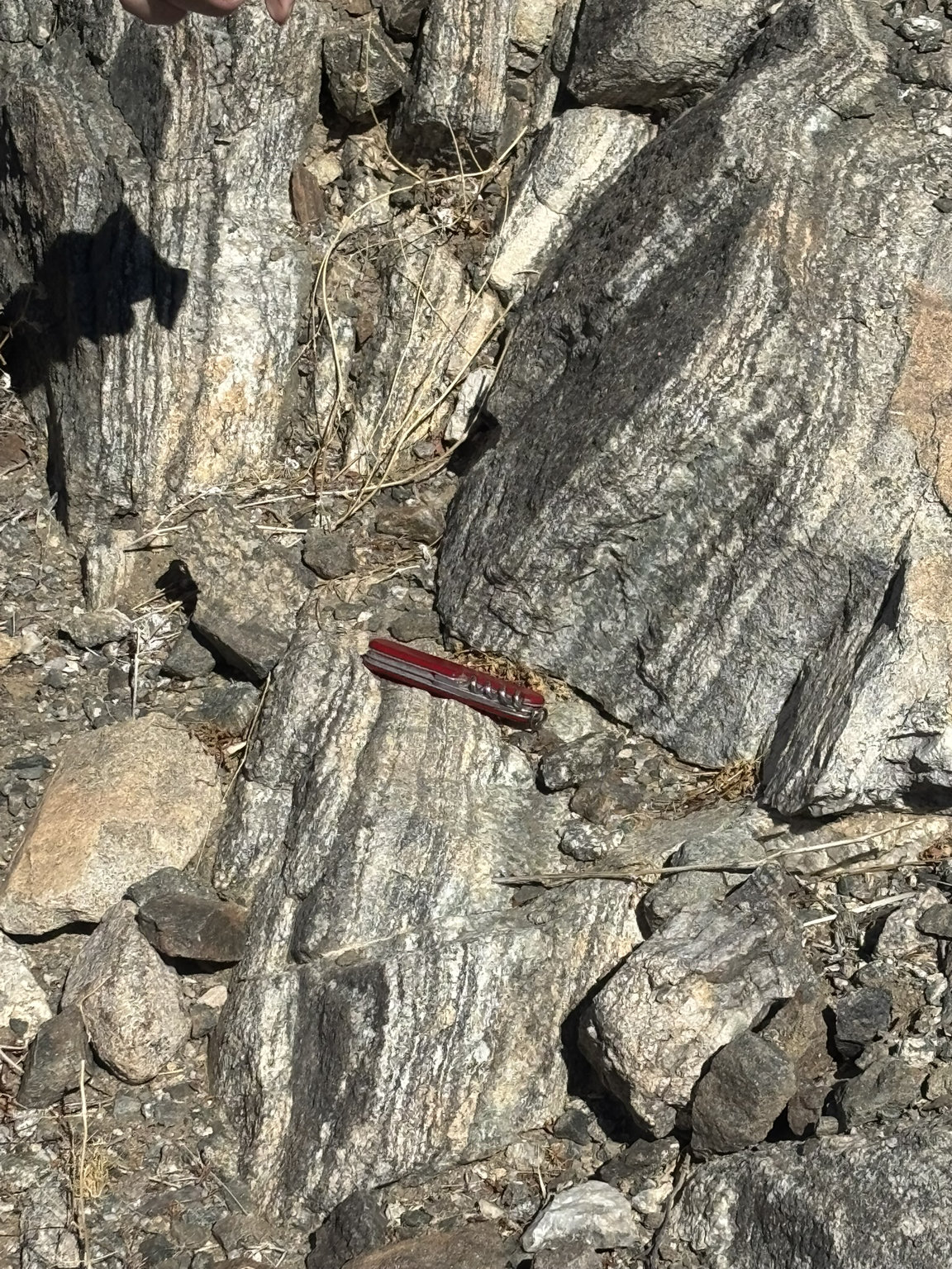
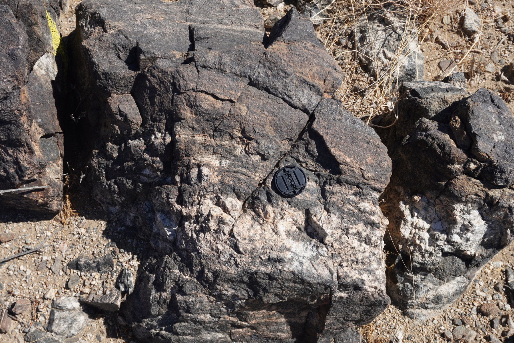
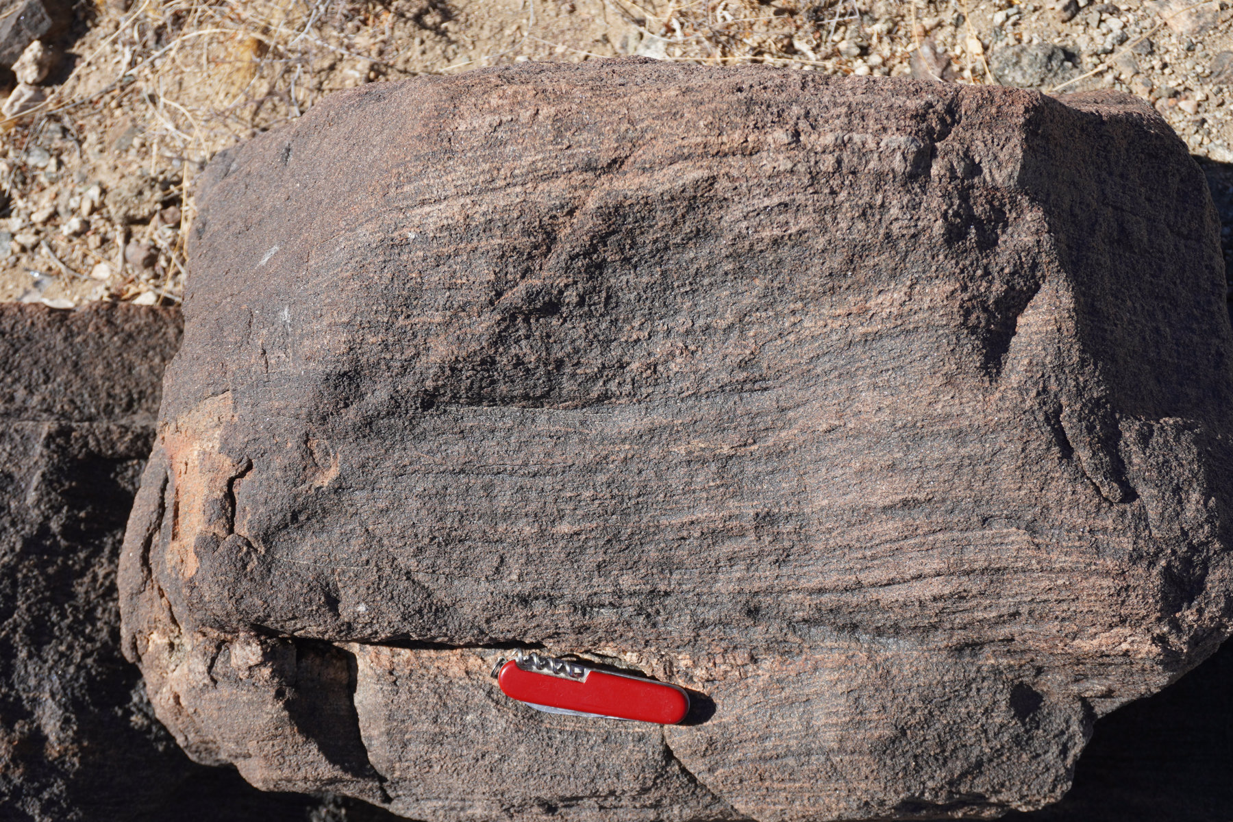
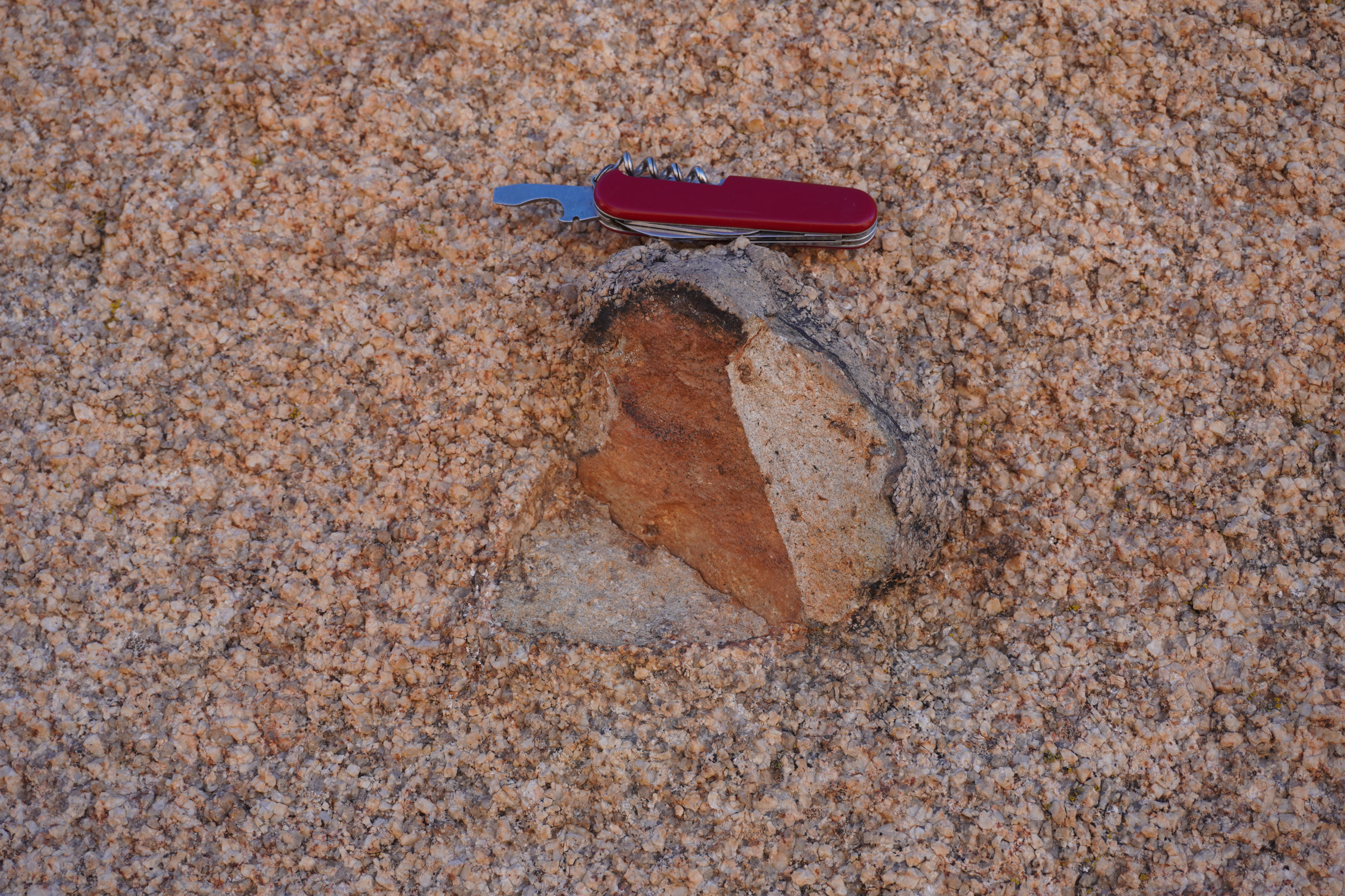
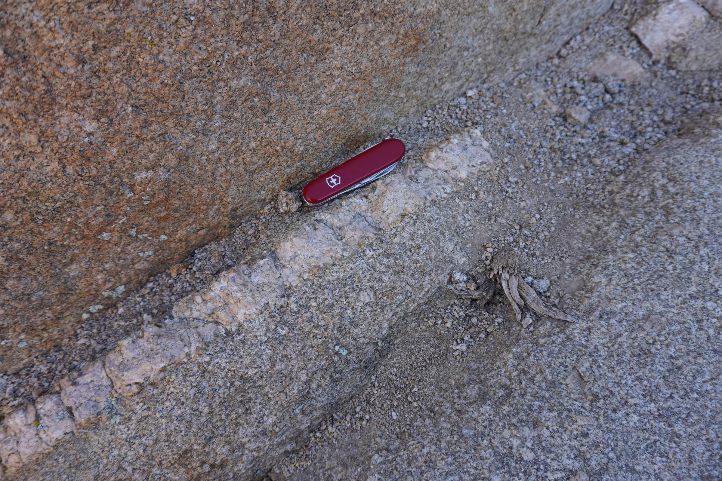
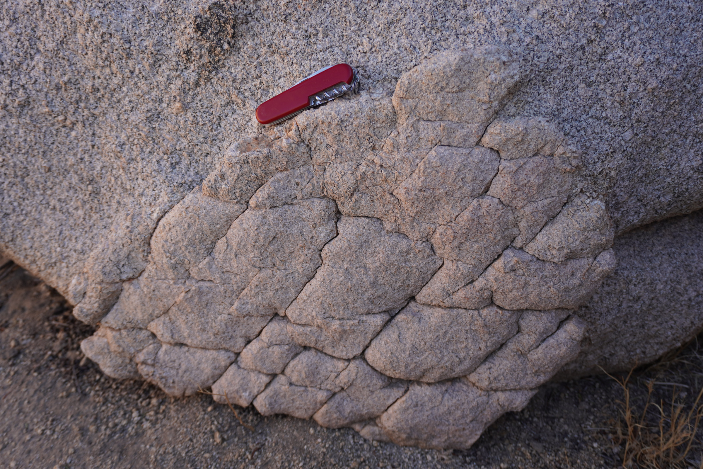
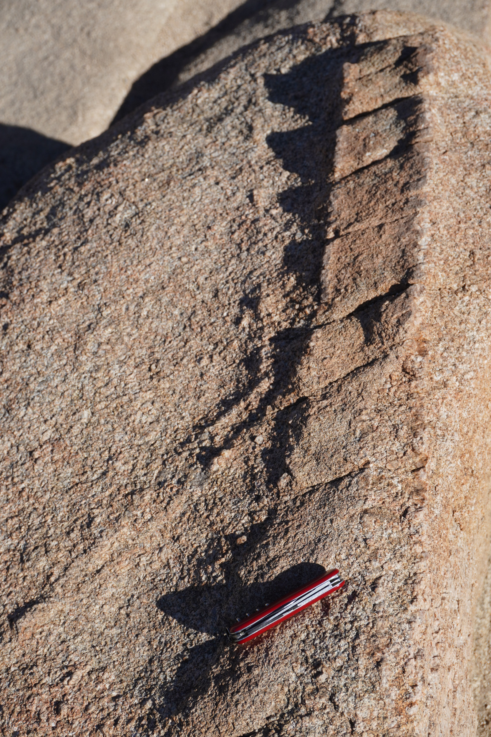
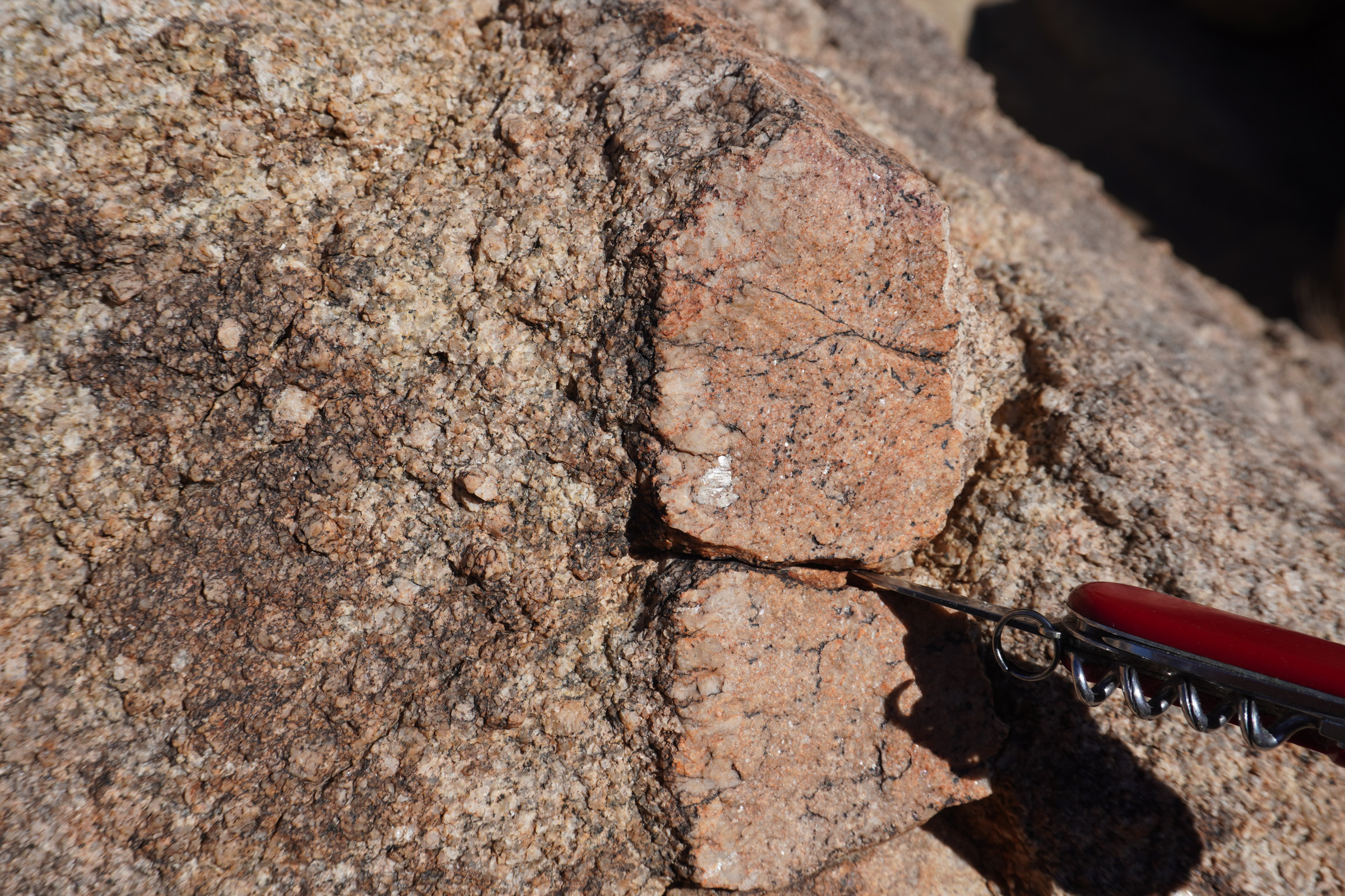
Our park day began with a stop not far from the West Entrance at an outcrop of the most prevalent and iconic rock type in the park, 85- to 100-million-year-old quartz monzonite (lets simplify that to granite). A geologist who I follow on U2ube had stopped there and got into a discussion of aplite. I’m thinking, my old (never refuse a free drink) petrology professor never mentioned aplite…what on gods great flat earth is an aplite? The U2ber explained and I looked it up.
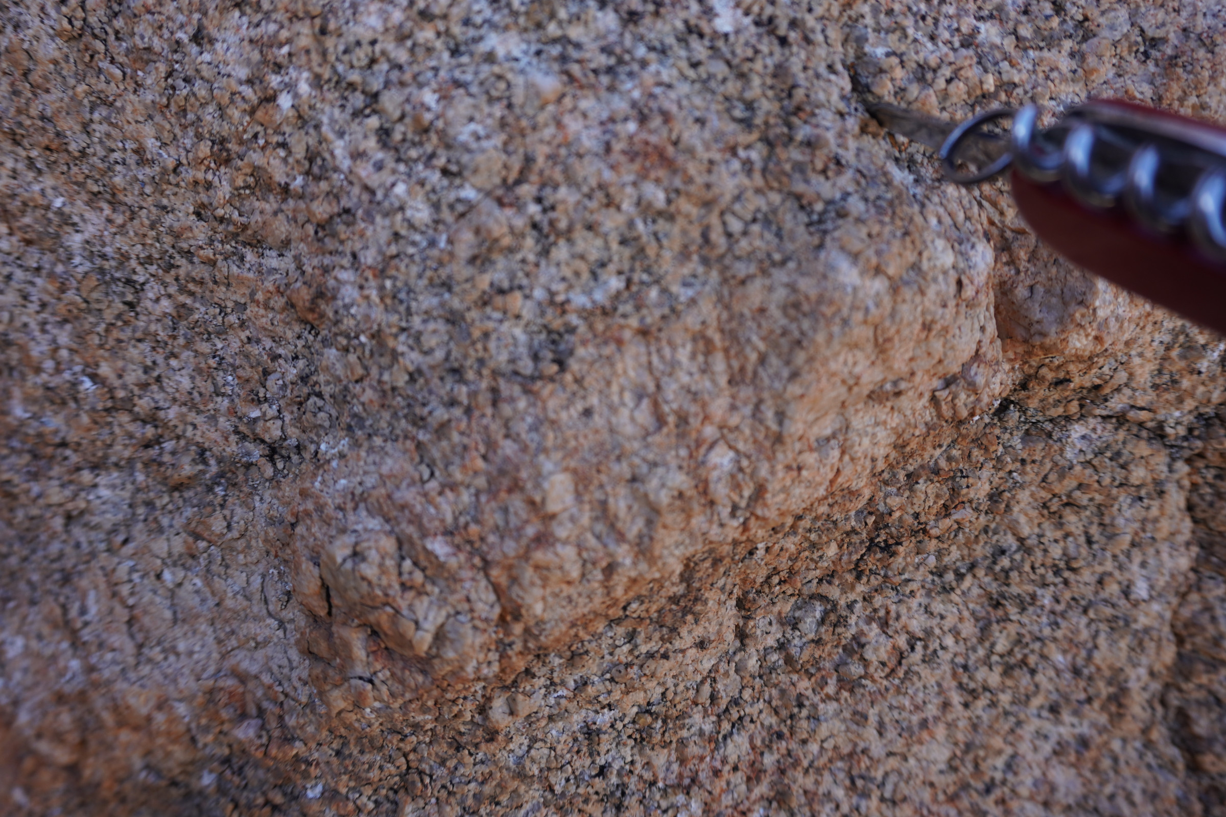
The lighter colored rock below the beer bottle opener, cheese cutter, nail cleaner is a classic aplite. You may be saying “Whoa there PacoPegmatite, Thats a pegmatite”. Nay Nay; here is a pegmatite right next to the pretty lady shivering in the electric socks on a different trip to JTNP.
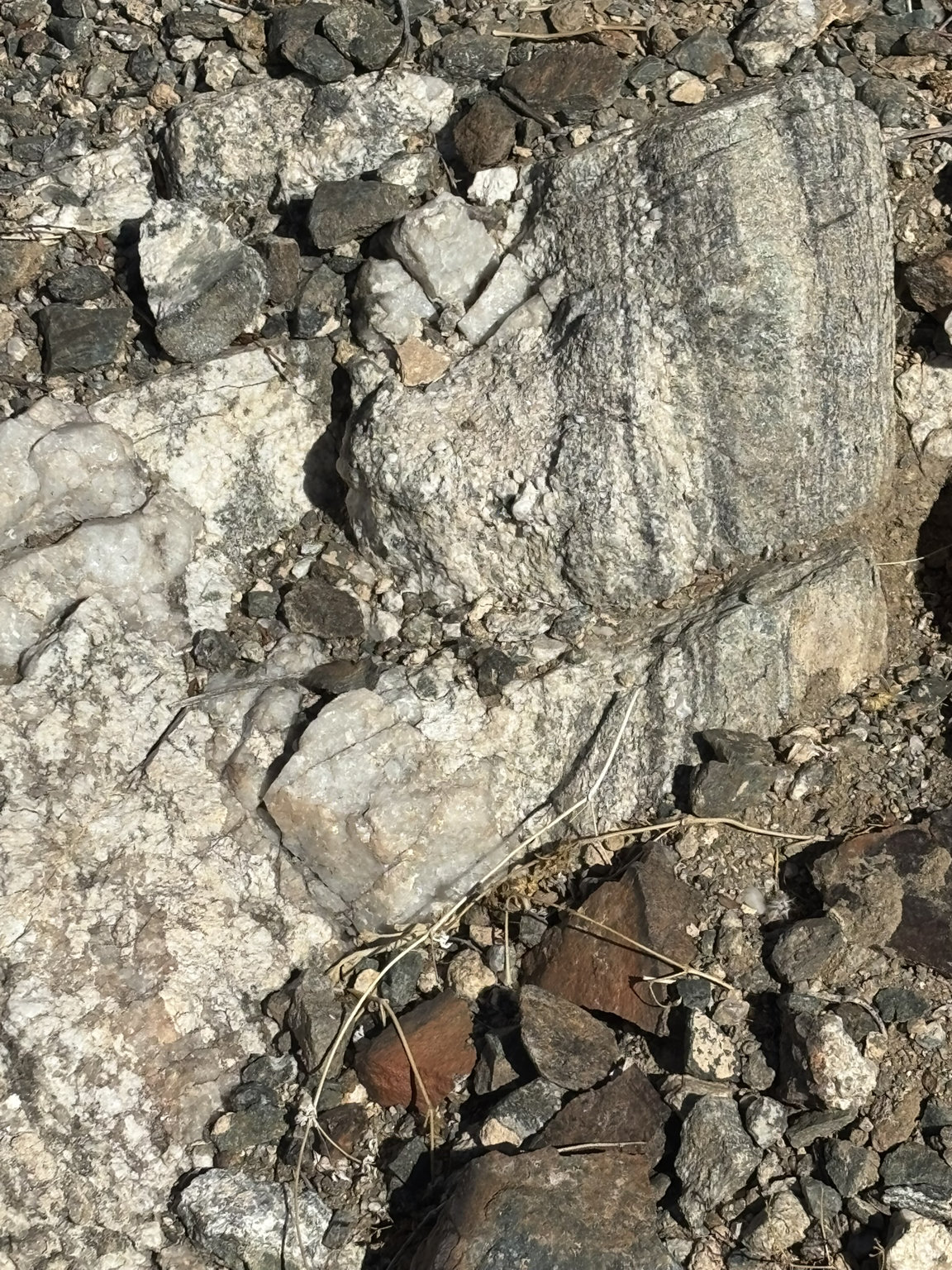
Aplite is a fine-grained intrusive (never has seen the light of day until the magic of uplift and erosion) igneous rock, that has cooled relatively quickly. It forms in later stages of magma cooling relatively deep in the bowels of the earth usually in narrow fractures or small spaces, when the primary minerals left in the gooey or liquid stew are quartz, feldspar and mica … (for the non-geologist recognizing two out of three is a passing grade). It has a light color and a uniform sugary texture. So, the aplite may be a couple of tens of thousands of years younger than the 200-million-year-old granite it is found in.
Pegmatites are a coarse-grained intrusive rock (same basic recipe as aplite with the addition of potentially rare minerals, gold for instance) that forms from the slow cooling of magma, leading to extremely large crystals. Usually, pegmatites are formed in larger veins or voids in the magma. Similar types of goo as aplite, but much slower cooling rate. Pegmatites as solid chunks of rock might be many tens to hundreds of thousands of years younger than the rock you find it in.
Field Trip
Johnny Lang
Johnny Lang was a gentleman of questionable moral turpitude (as many of the inhabitants of the Joshua Tree area in the late 1800’s were) who, for whatever reason, had his life chronicled in some detail. What follows are excerpts from an article written by Allison Johnson entitled The Lost Horse Gold Mine.
Johnny was born in Texas in 1850, he began as a cattle rancher. In the 1890s, he and his father moved west with their grazing herds. At some point Johnny was the proprietor of the first saloon in Twentynine Palms. However, he and his father had serious gold fever, and they gave up their cows to search for riches beyond their wildest dreams. We lose track of dad Lang around this time. However, we know that Johnny’s efforts paid off. The Lost Horse Mine was the area’s most successful mine. Most of the gold the Lost Horse Mine would ever produce – nine thousand troy ounces – was extracted during the first ten years of operation, at the turn of the 20th century. Johnny Lang figures in every version of the mine’s discovery, the common factor being that the legendary prospector found the mine while in pursuit of his wandering horse. One story, although it seems that it was formulated after the fact due to Johnny’s bias, suggests that while looking for his horse, he sat on a rock to dislodge a stone from his shoe when he looked down, he saw the dull yellow of gold. About that time, a group of cattle-rustlers – the infamous McHaney Brothers among them – discovered Lang in their vicinity. They threatened Johnny off.
Not to be deterred and tired of walking, Johnny reunited with his horse in the rustler’s camp who admitted that they had confiscated it. On inquiry, assuredly over cocktails, they directed Johnny to “Dutch Frank” Diebold’s camp where Diebold revealed to him that he had discovered a large gold strike but had been unable to claim it because of interference from the McHaneys. Lang purchased the claim rights from Diebold for one thousand dollars, and he took on partners with enough clout to move on it. The partners eventually sold their shares to the Ryan brothers (Ryan Mountain from previous blogs) and Johnny took over the night shift at the mine.
Suspicions were aroused when the Lost Horse processing plant’s night shift operations (Johnny’s watch) produced significantly less gold than that of the day shift. After setting up a “sting,” the Ryans confronted Lang with a choice of selling his stake or going to jail. Lang sold his portion for twelve thousand dollars.
The aging prospector moved into a deserted cabin in an area near Hidden Valley, later named Johnny Lang Canyon, where he worked a smaller claim. At some point, he moved into Keys’ Desert Queen Ranch for a time, but the arrangement was never comfortable because of Johnny’s reputation as a thief. While at the Desert Queen Ranch, Johnny began selling large amounts of gold to Bill Keys, too great a quantity to have come from his small mine in Johnny Lang Canyon. Keys and others believed that the miner was secretly refining the gold he had skimmed and buried in earlier years. When the Lost Horse Mine was finally abandoned, Lang returned to his former haunt, taking up residence in an old shack that had served as a kitchen.
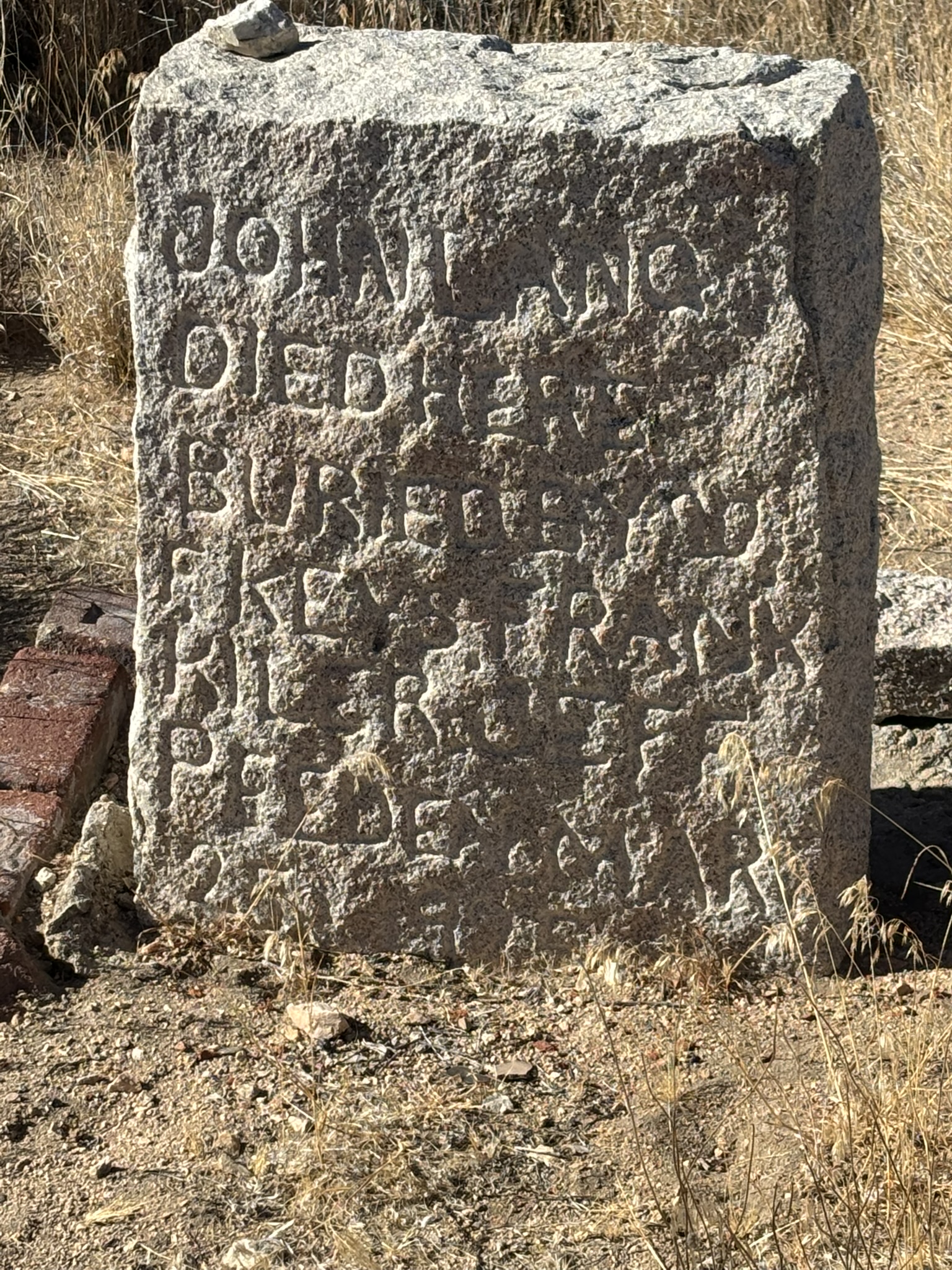
On a winter morning in 1925, Johnny Lang rolled up his canvas sleeping bag and packed what remained of his supplies, a half-slice of bacon and a small sack of flour. He would have to hoof it from his mining site in hopes of catching a freight wagon into Banning, some fifty miles away. Gone were his burros. He had eaten those one by one. The seventy-five-year-old prospector slung his gear over his shoulder, and tacked a note, dated January 25th, to the ramshackle desert hut that served as his home: “Gone for grub. Be back soon.”
Three months later, Bill Keys and two companions were constructing the road to what is now Keys View, and they happened upon Johnny’s mummified body. The burnt remnants of a nearby bush and the thin sleeping bag that Johnny was wrapped in left the men to conjecture that the old miner had died when he stopped to make camp… probably partially brought on by mercury poisoning from exposure to the gold amalgam he had “acquired” on the night shift and was processing in lieu of social security checks :).
So, alas, Johnny could rest in peace. Hold on there… not really. In 1983, morons robbed the grave site of Mr. Lang taking his skull and bones. However, the grave site remained, was restored and is reportedly on the road to Keys View near the Lost Horse Mine Road. We finally found the grave on this trip. Again, some bad sun angles but pictures of the discovery.
Kiara had to leave later in the evening for work the next day, so we celebrated the birthday a little early by heading down to Morongo Valley to a restaurant called Spaghetti Western. Very commendable Italian fare accompanied by live light jazz and on our visit interspersed with some jazzed-up versions of Christmas carols.
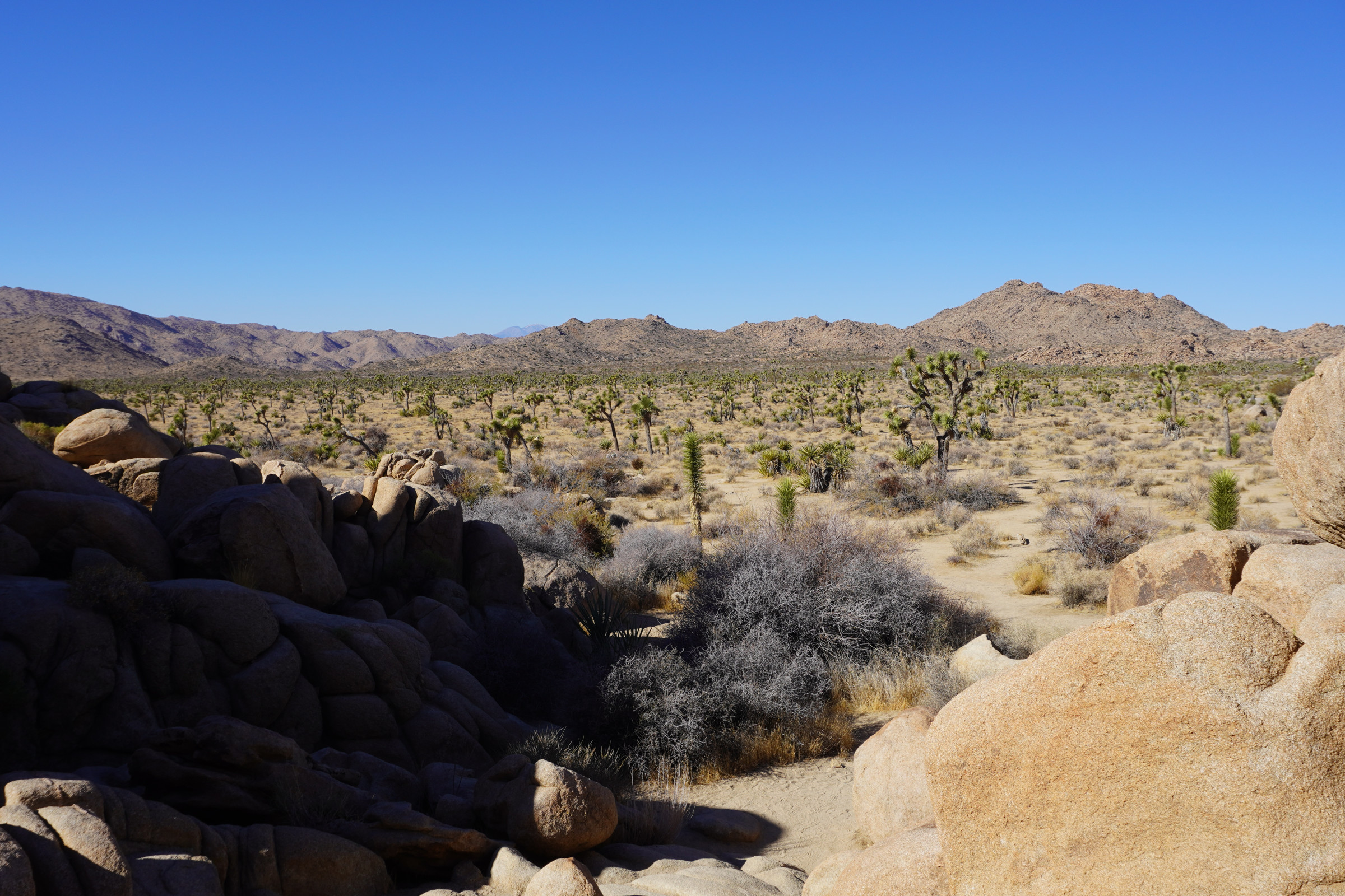
This year, as I started my 70th trip around the sun (it is more important to finish and celebrate the end of that trip, but it was a good excuse to get away), we opted for four days in Joshua Tree. For those that read this blog often, you know that JTNP is a very special place for me. When we were sailing, almost any day we were on the water, I would say ” I could do this all day, every day”. Joshua Tree has taken the oceans place for me.
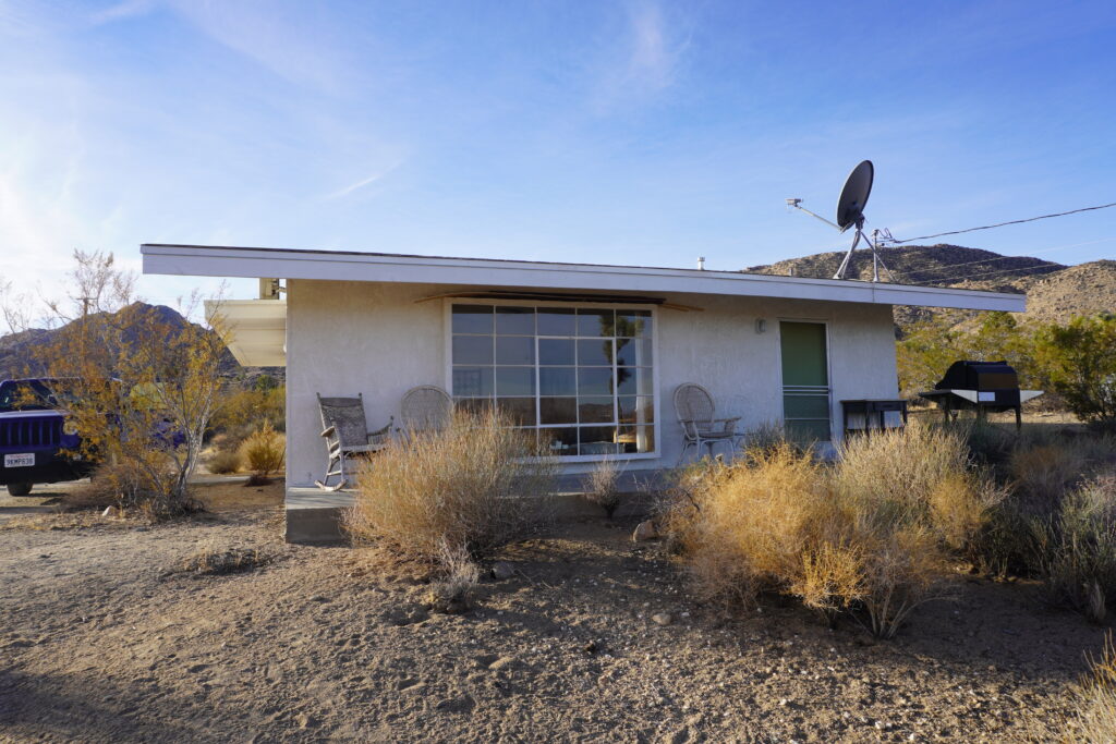
We organized an Airbnb located in the town of Joshua Tree CA and only about 10 minutes from the park entrance. A very nice 2-bedroom place that had views to the north; was very nicely appointed and served as a great base of operations.
Home base!
Kiara joined us on the evening of the 4th and spent a couple of days with us.
We had five goals during this trip, 2 historical tasks, 3 geologic tasks plus the usual goals of food, drink, rest, relaxation and conversation. The historical tasks included a visit/tour to Keys Ranch and locating and visiting Johnny Lang’s grave (no relation to Ruth). The three geologic stops included field trips to see an aplite dike, the roof pendant at Ryan Mountain and a visit to a more accessible pile of the Pinto Gneiss which is the roof pendant at Ryan Mountain. The rest of the activities we were just going to go with the flow.
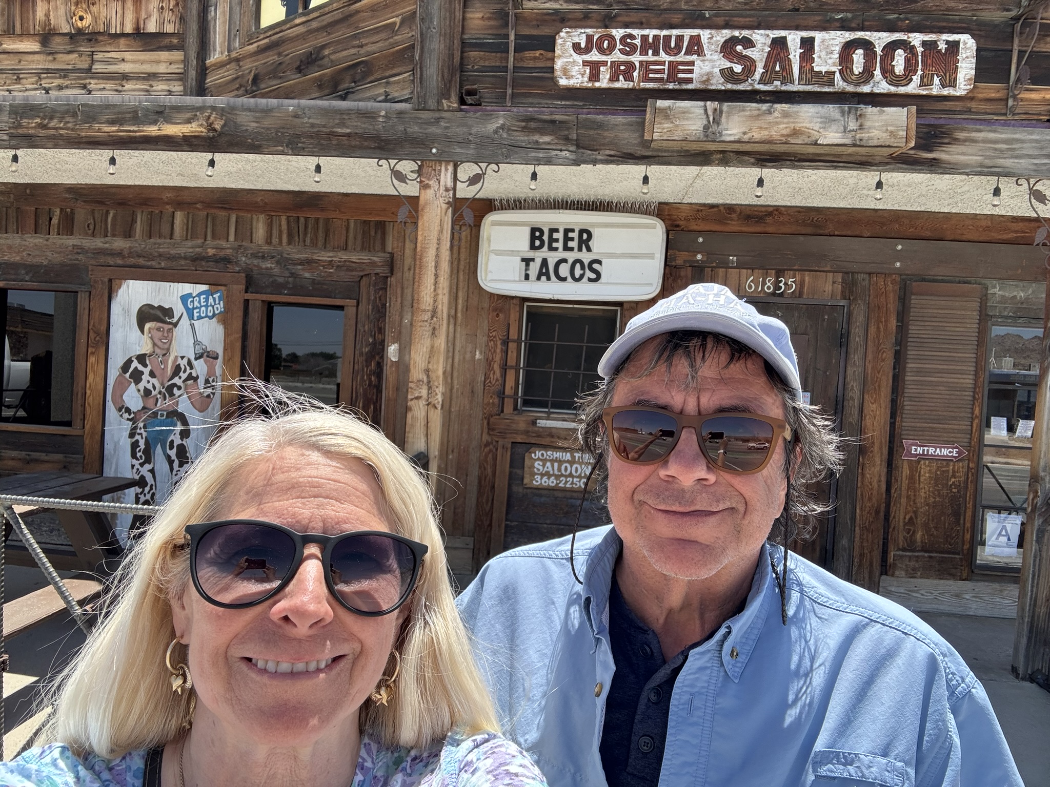
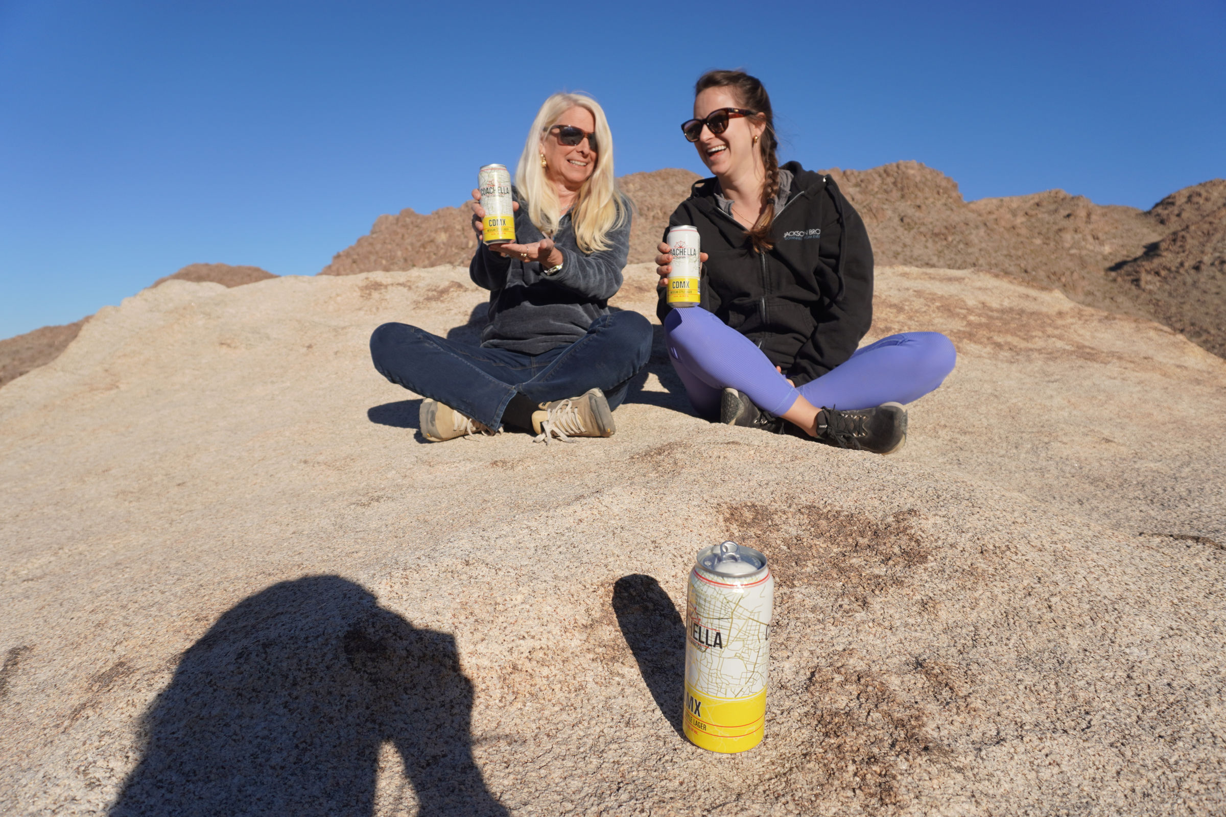
We arrived a little early for check-in to the place, so we started the visit with food and drink at the Joshua Tree Saloon. They had our favorite local beers from Coachella Valley Brewing Company plus very tasty food at very reasonable pricing and a large parking area.
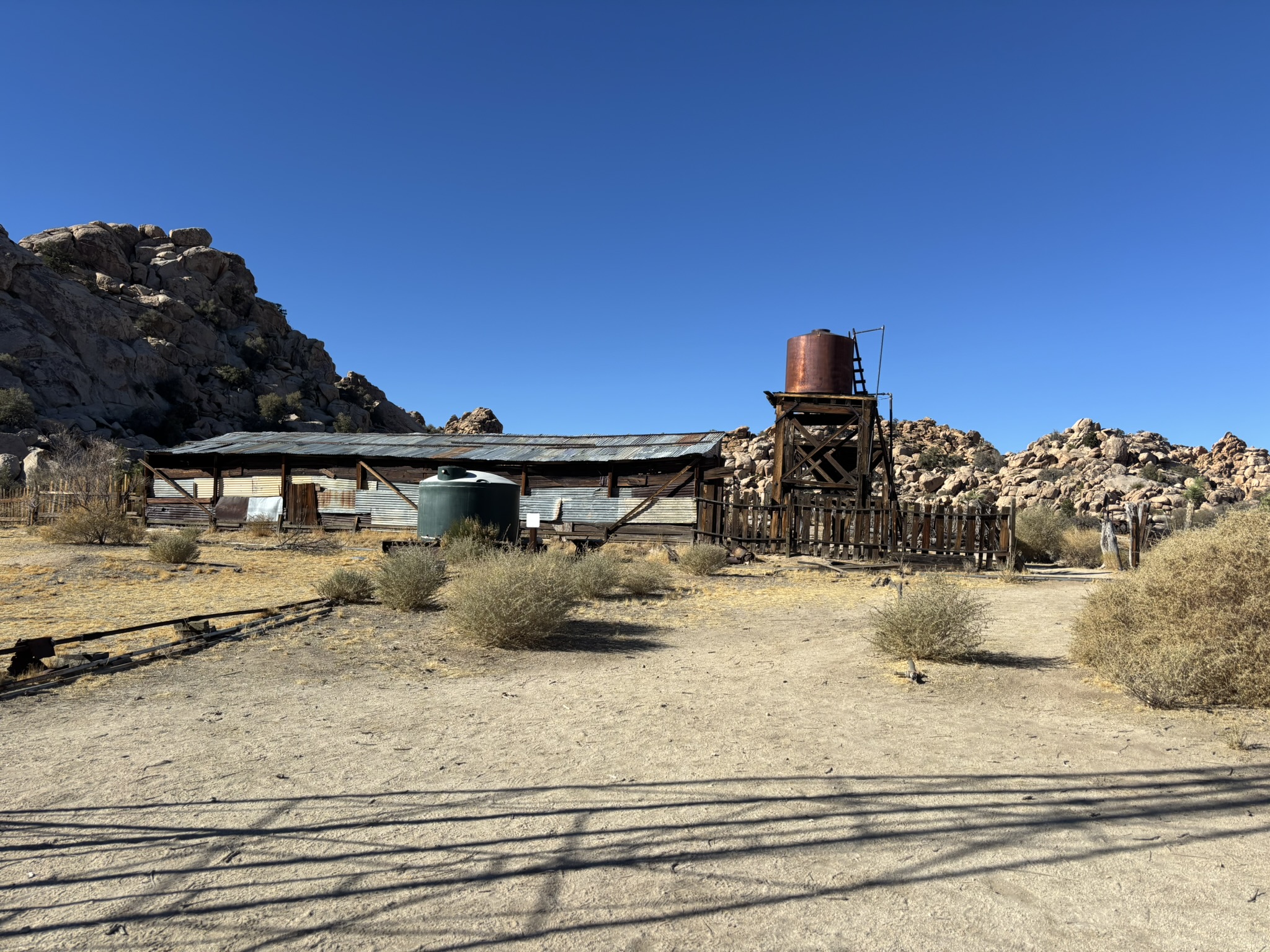
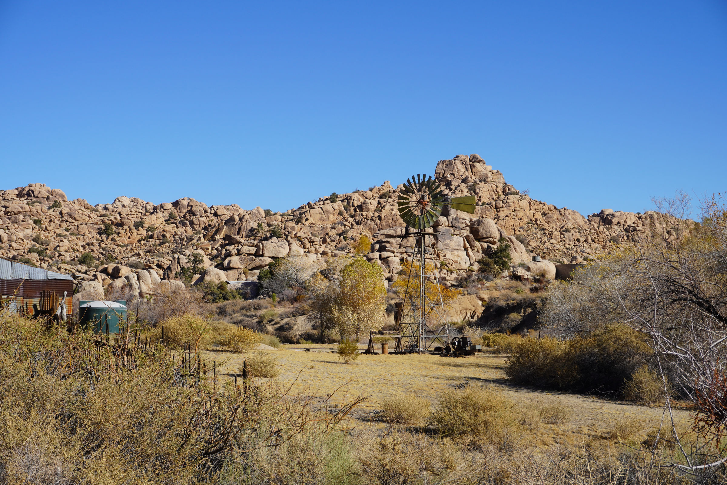
We had a reservation to get a guided tour of Key’s Ranch on Thursday morning. The Park Service restricts visitors to this area to guided tours to preserve the historical nature of the location as without a doubt, morons would surely vandalize and sack the area.
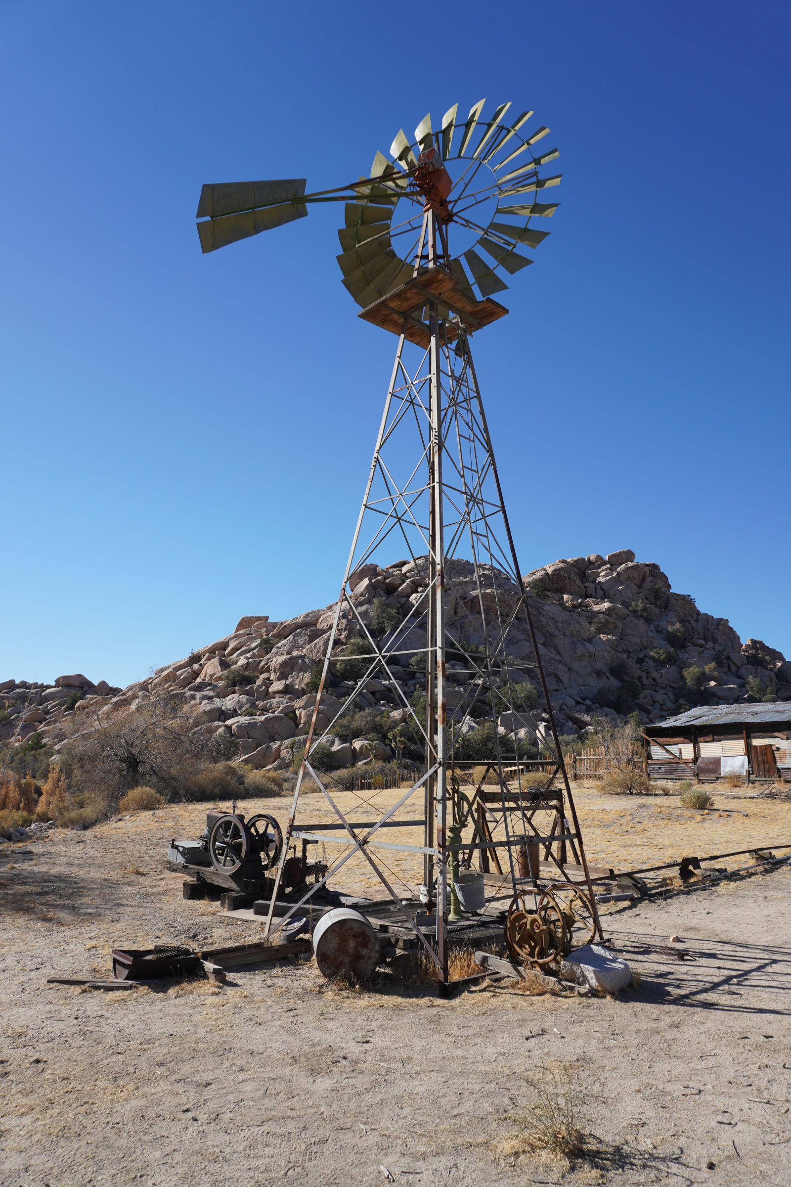
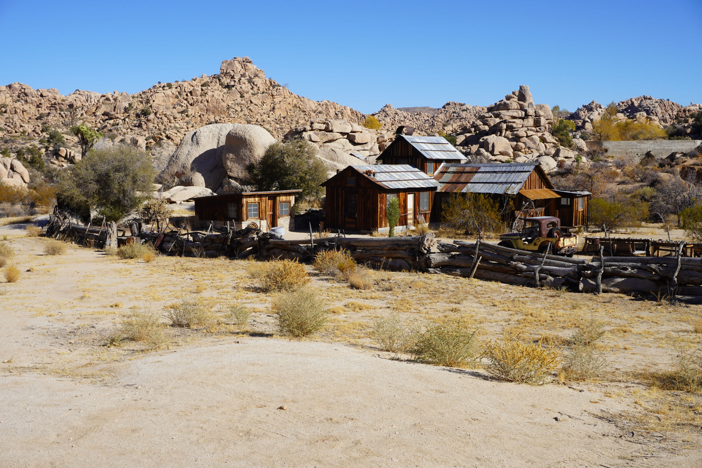
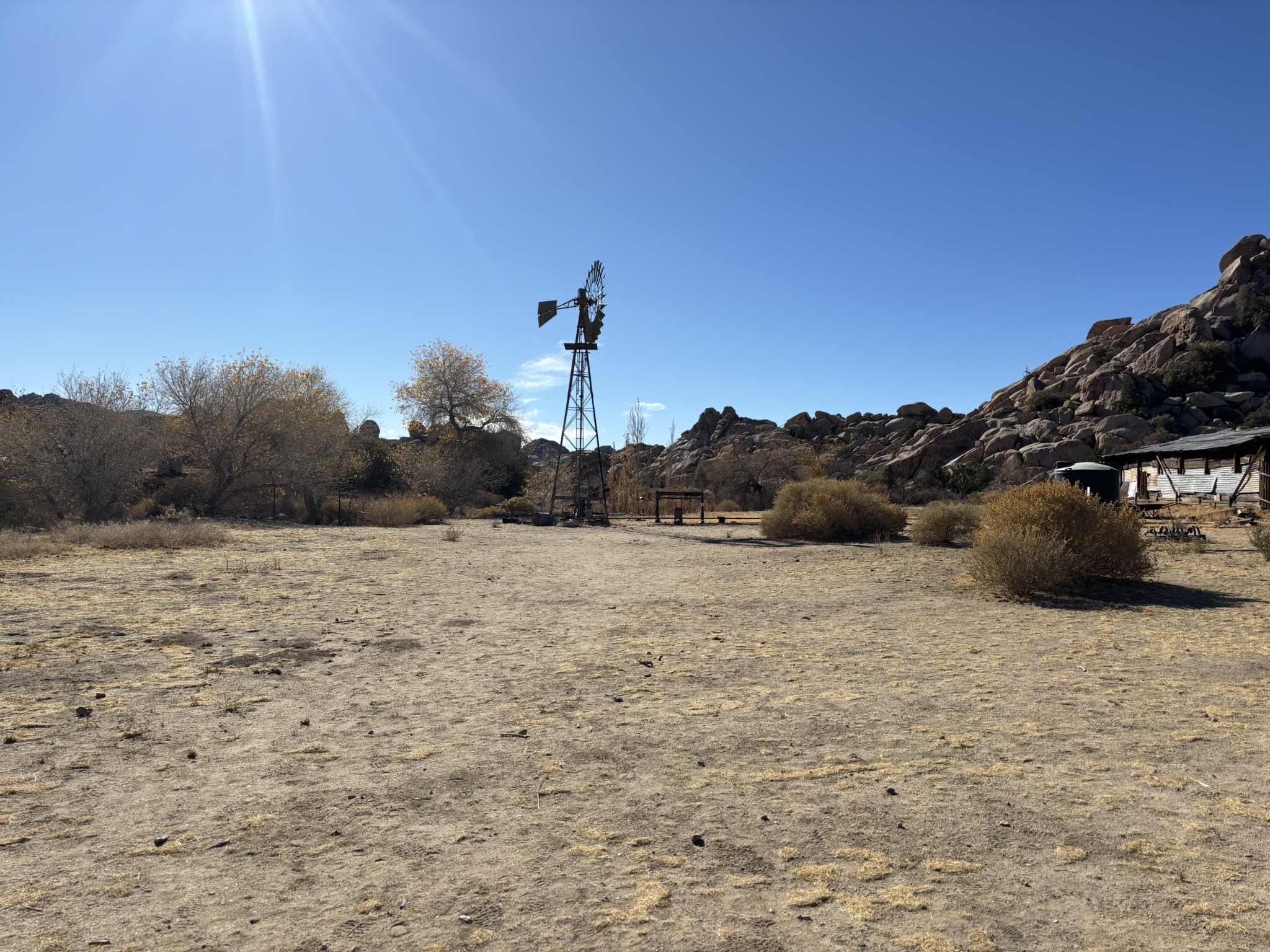
Bill Keys was a guy who made everyone else in the world look lazy (and still does to this day). He was the original poster child in the late 1800’s and through the first half of the 20th century, for sustainability. Bill was born in Nebraska as George Barth in about 1879 or so. He changed his name to Bill Key (nobody knows why) when he signed up with Teddy Roosevelt’s Rough Riders. Later in life, the postman was complaining that there were two guys with very similar last names in the area that is now Joshua Tree NP so Bill added an “S” to his last name to help distinguish himself. In 1910, Bill became the caretaker of the Desert Queen Mine, setting up home at the current location which was the mine mill. About five years later, the mine owner passed on with never having paid Bill for his service. Bill filed against the estate of the owner and was awarded the mine and mill. He then filed a homesteading claim for another 160 adjacent acres and was awarded that.
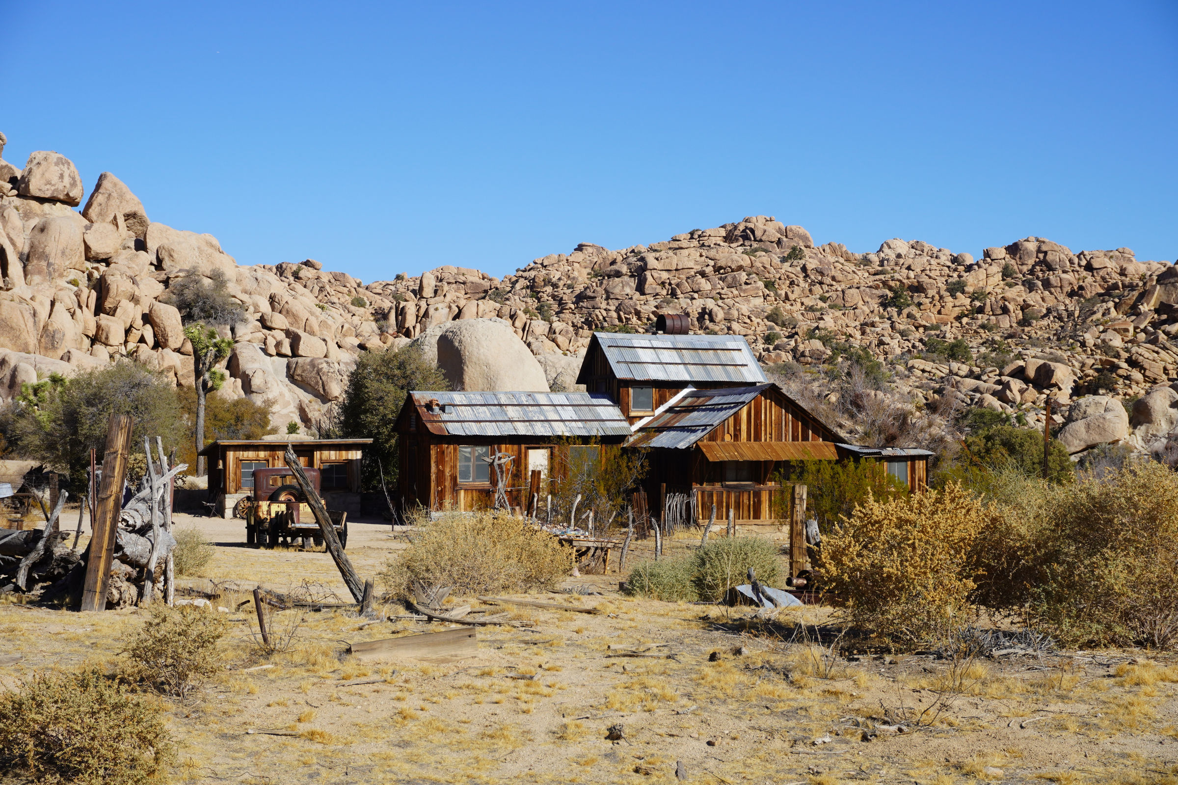
In 1918, Bill went to the big city of Los Angeles and met, married and then lured Frances May Lawton out to the homestead. She was every bit as creative and focused as Bill in building a life at the Ranch. They had seven children, buried three and raised four. Bill mined, ran stamp mills for other miners, farmed, raised cattle, built five dams out of the local stone and little else, improved upon existing dams, built roads (including one still bearing his name), explored the desert extensively, and started the first elementary school in Joshua Tree with Frances initially serving as teacher. Eventually as more students began stopping in from around the area, they hired a teacher. It became the Desert Queen Elementary School run by the County. Meanwhile, Frances also tended to the garden, managed the household (yearning for refrigeration) and canned sometimes 400 quarts of food yearly, tended to the generator, which they only used sparingly, managed the kids assigning common chores like getting water from the well, feeding chickens and such. She eventually started the first small store in the area and rented out cabins and even beds under the stars for visitors to the area.
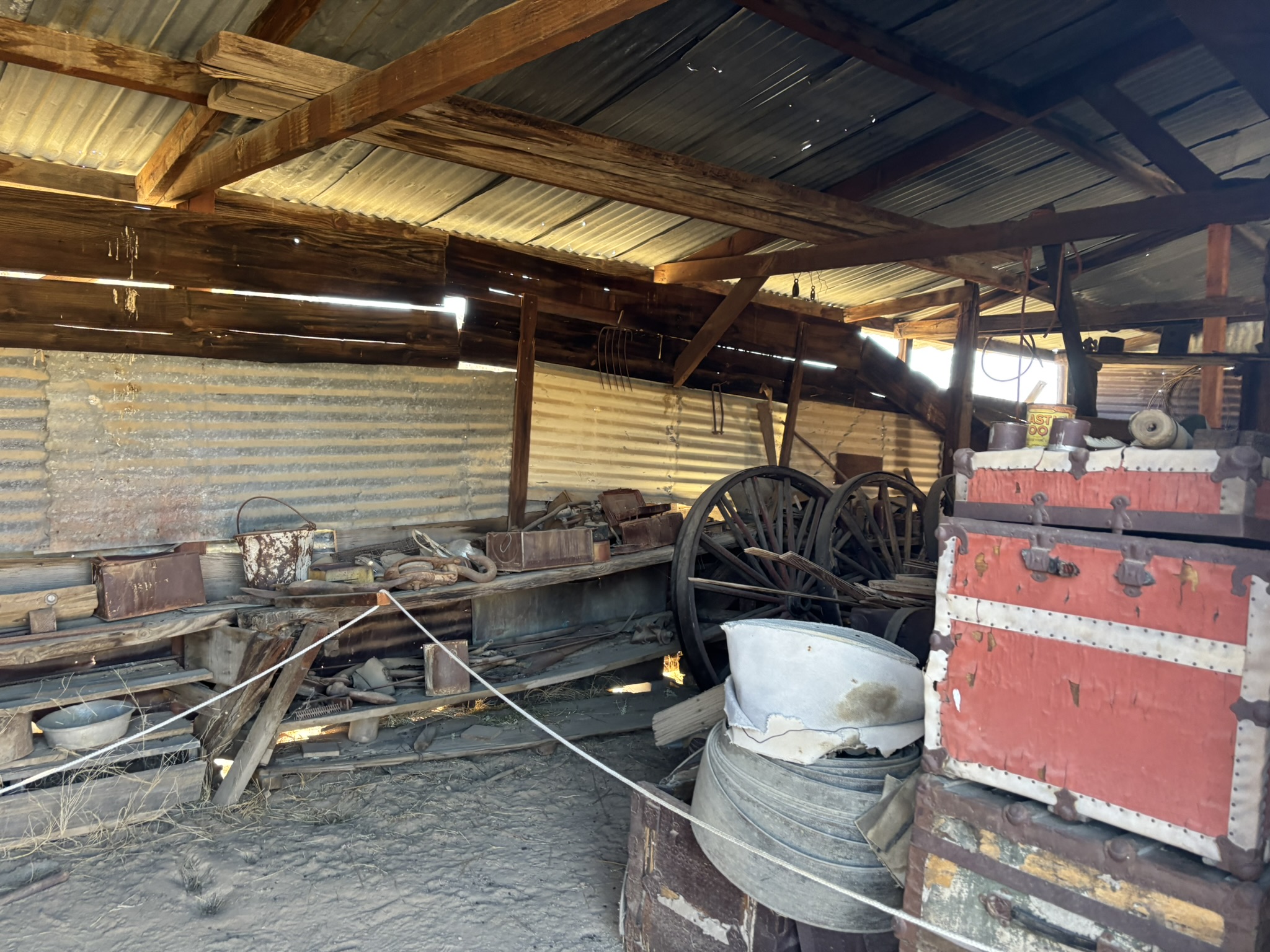
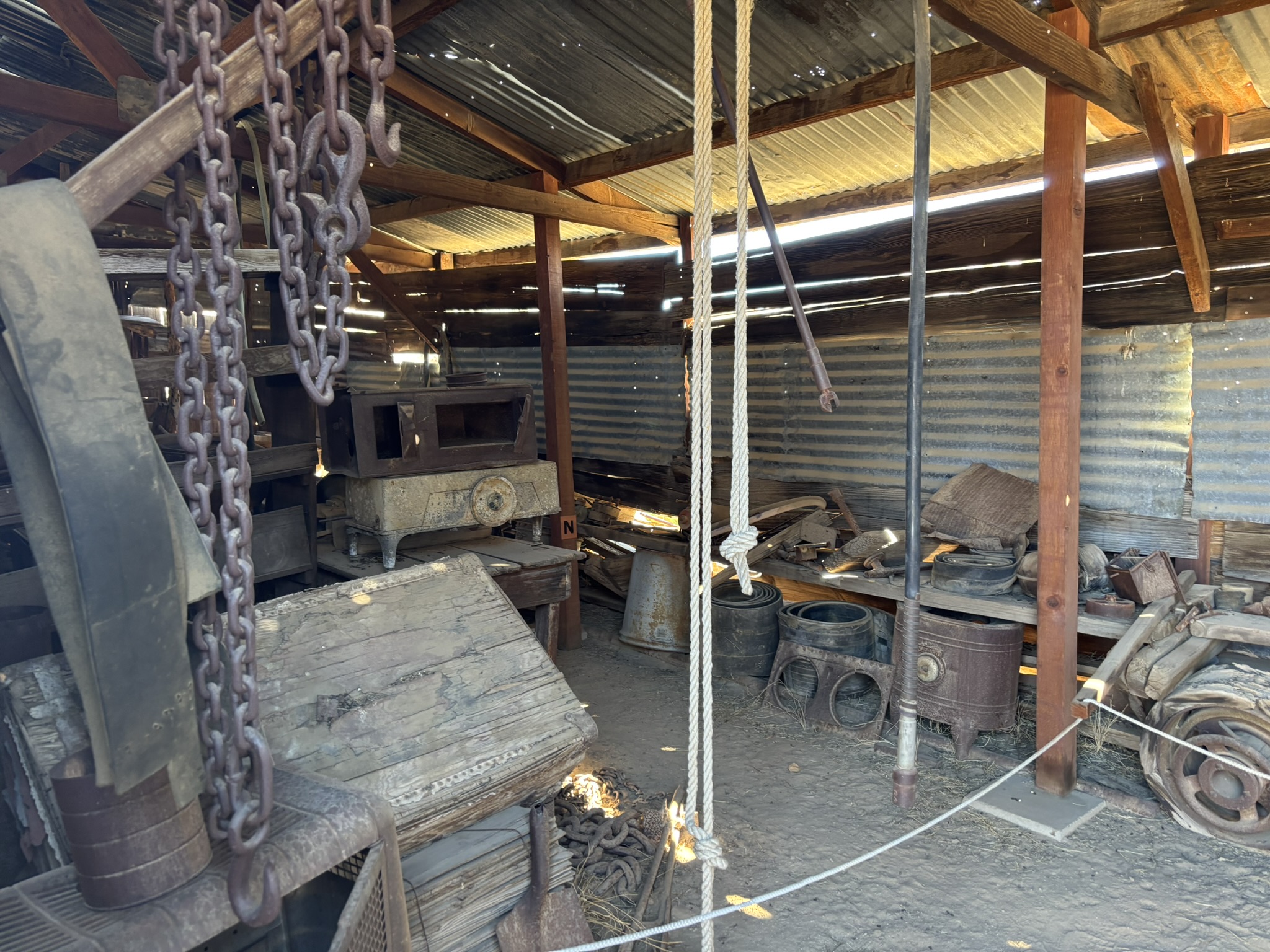
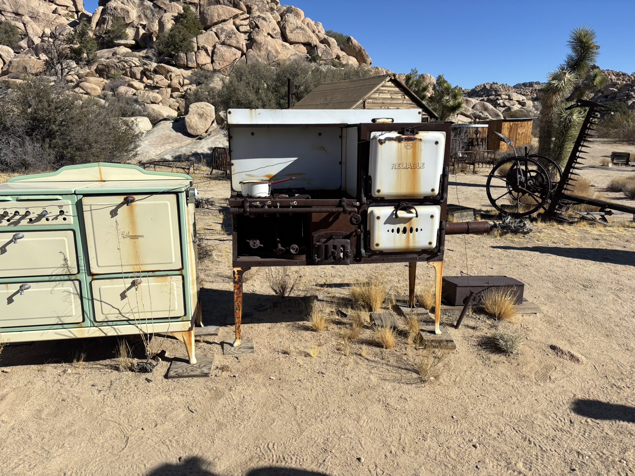
Bill and Frances were masters at using and reusing everything. As an example, most folks don’t realize that there is no good source of wood in the Joshua Tree area. Joshua trees are not really trees and the burn very poorly giving off little heat. They are now protected, or at least they were as of yesterday. Therefore, any wood that the Keys had was brought in from as far away as Banning and Beaumont, CA. They saved and reused everything. When the desert training center south of the park at Chiriaco Summit, CA was closed after WW II, Bill took many trips there and salvaged stoves, beds, vehicles and equipment. Some of the photos below include stuff from those forays.
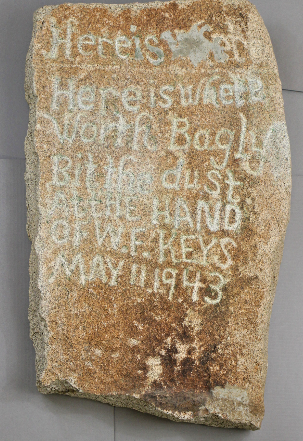
Some may remember from an earlier post that Bill had a little run-in with the law when Worth Bagley, a somewhat eccentric neighbor, went a little crazy and ambushed Bill just off of the ranch (there is an NP marker on the Barker Dam trail where this incident occurred). Bill returned fire and killed Worth dead. The rock below was at the location of the altercation until it was clear that morons were going to deface it. The Park Service rescued the rock and marked the spot with something more indestructible…(really; more indestructible than a rock???)
A court, with prejudices and proclivities very similar to today’s highest court in the land, sent Bill to San Quentin for murder and at age 69 after 5-years in the pokey, he was released and eventually pardoned due to public pressure particularly from Erle Stanley Gardner. He returned to the ranch and picked up where he left off saying that he had a lot of time to read and work out improvements on the place while he was incarcerated. In 1950 Frances, the kids and Bill finished upgrading Barker Dam and then settled in at the Ranch making a living from the increasing number of visitors to the Joshua Tree area. All of the Keys children left their parents’ desert paradise and went on to long successful lives. In 1963, Frances died, and six years later, on June 28th, 1969, Bill Keys at the ripe old age of 90-ish joined her. Along with mom and dad, three of the kids who passed at very young ages are buried in a small cemetery, located on a hill above the drainage on the south side of the ranch area. The Park Service eventually took over all of the Keys Ranch except for the cemetery which is still owned and maintained by the descendants of Frances and Bill.
Our tour was led by a gentleman named Thomas Crochetiere a local historian, park volunteer and writer who has produced several books on the history of the area concentrating on Bill Keys. Needless to say, he knew his stuff, was very entertaining and very informative.
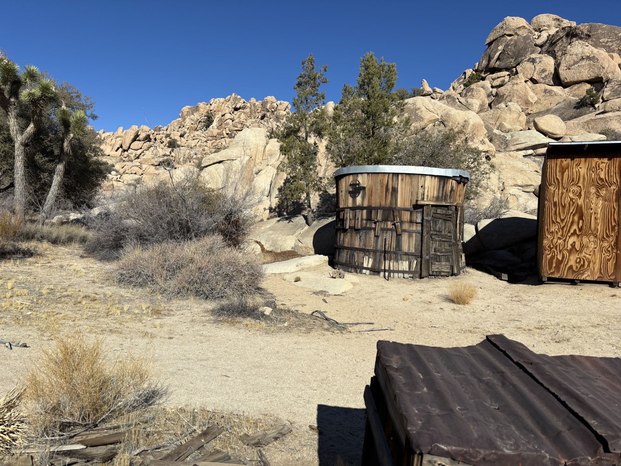
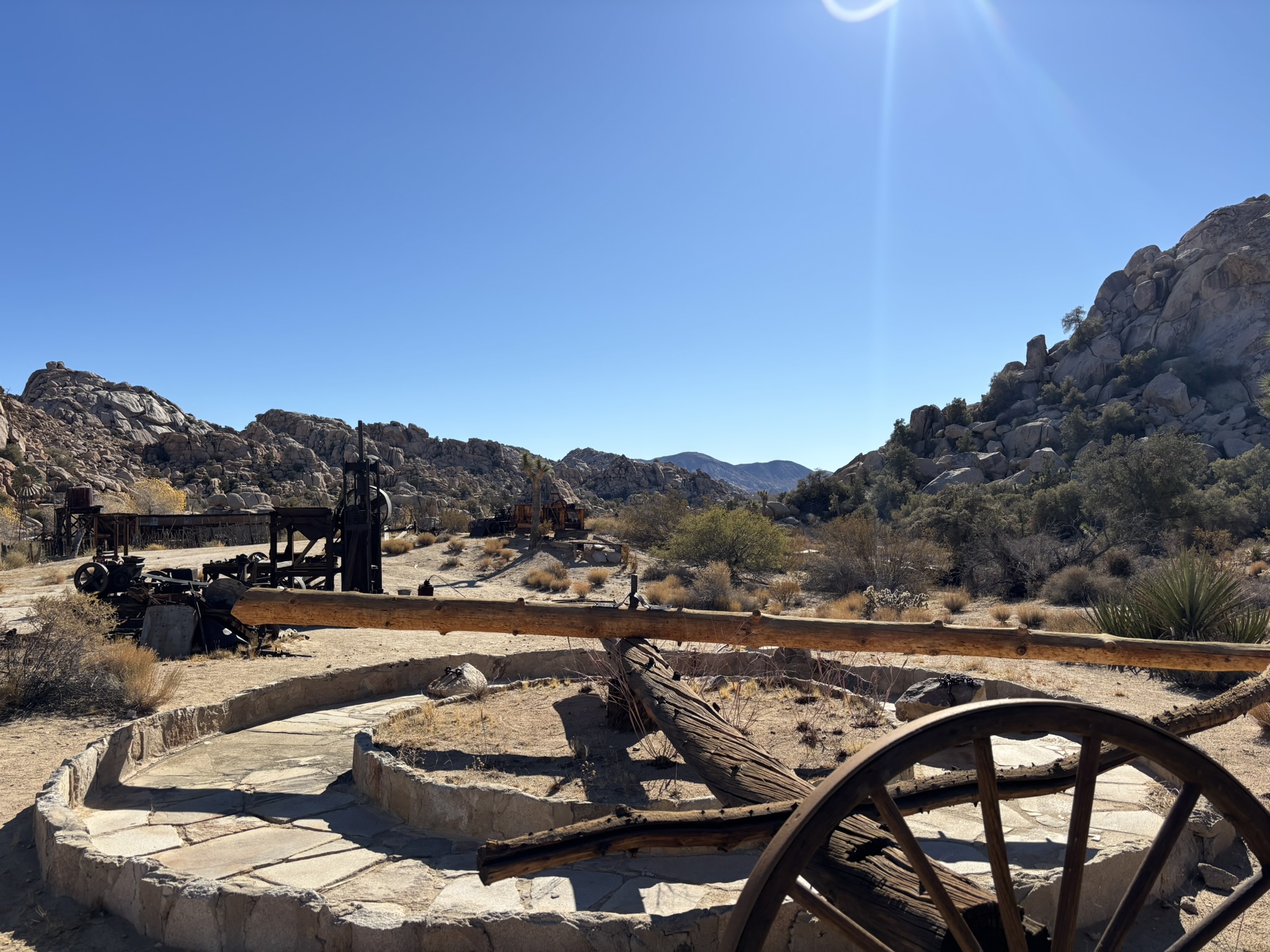
Photos of Keys Ranch
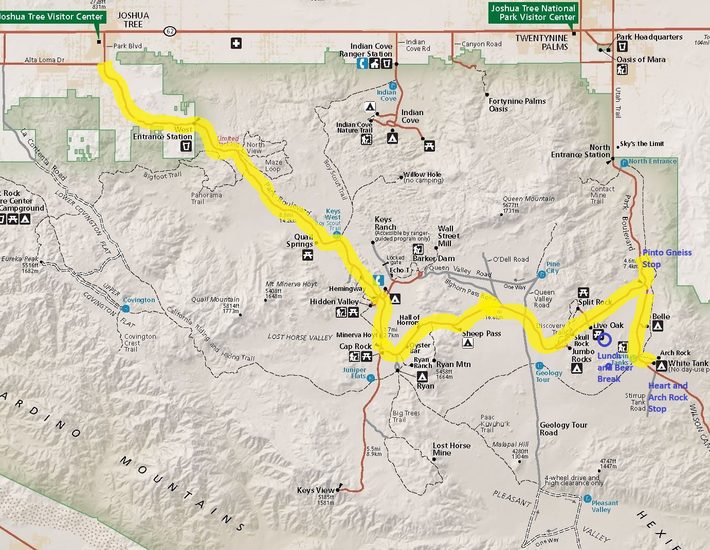
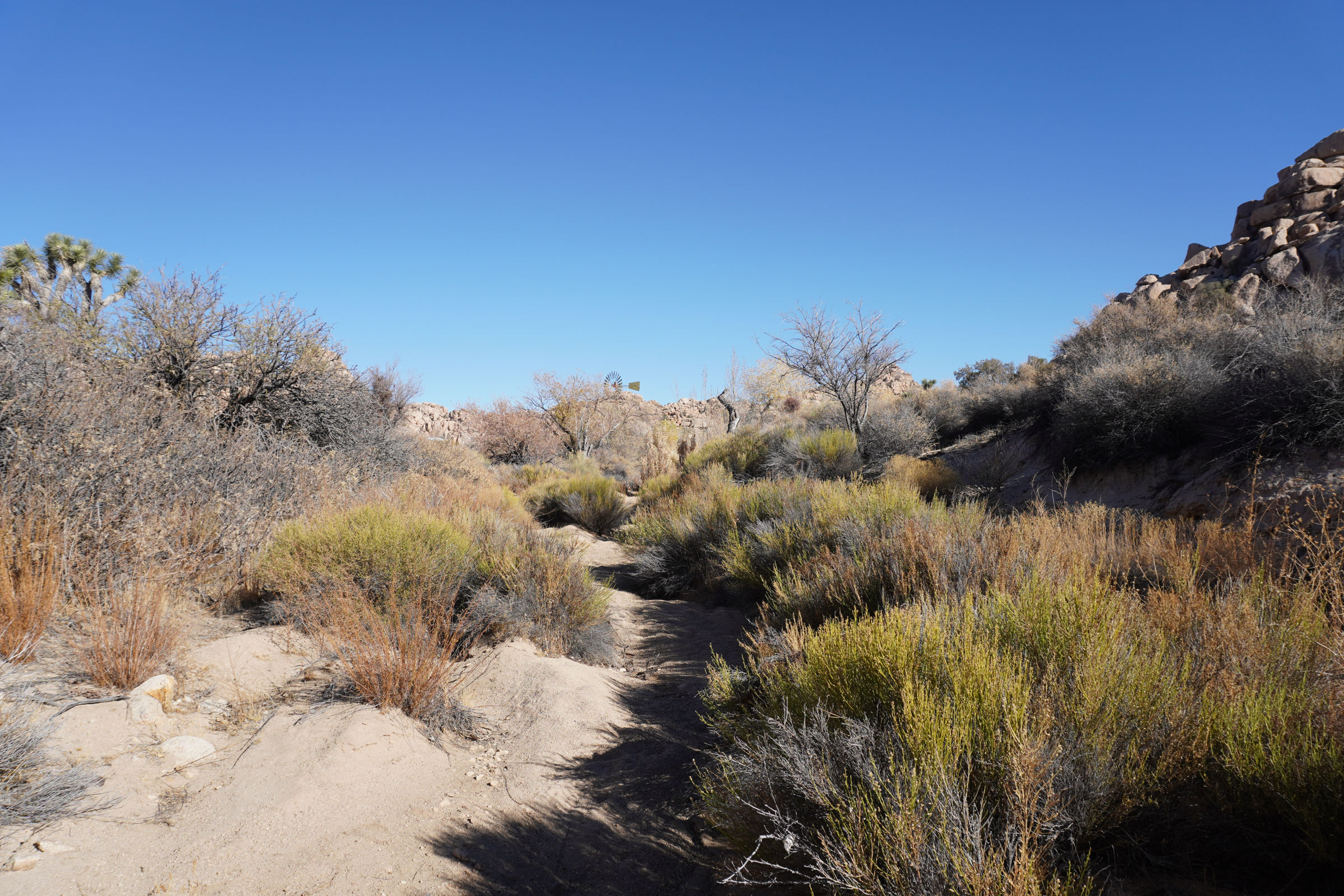
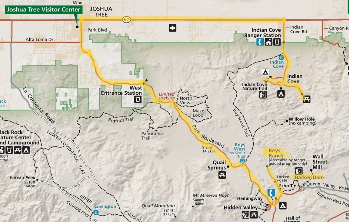
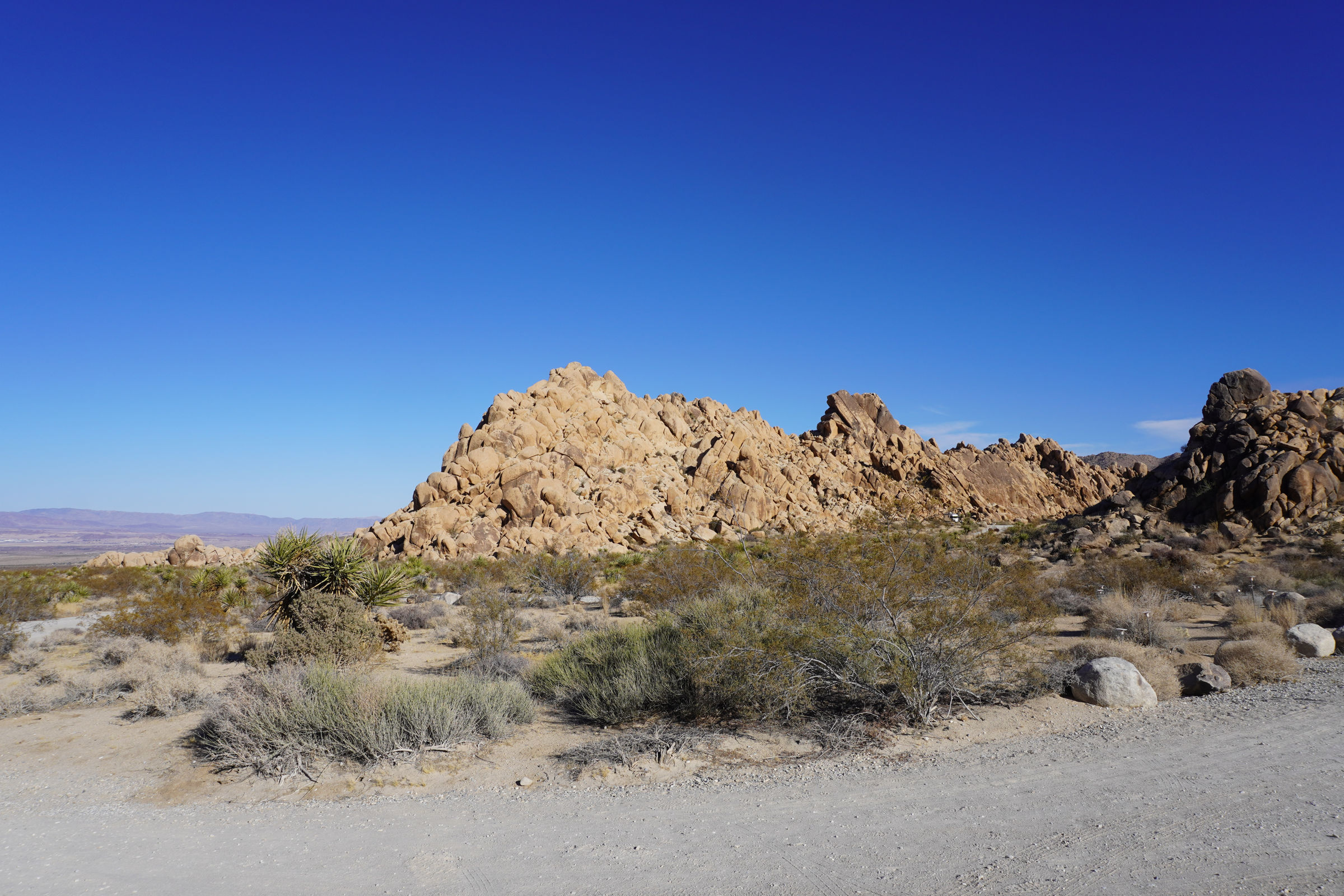
The afternoon was assigned to visiting the Indian Cove Area, a part of the park that we had not visited in the past. Yet another fine edited NP map below showing the location of Keys Ranch, Barker Dam and our route to Indian Cove.
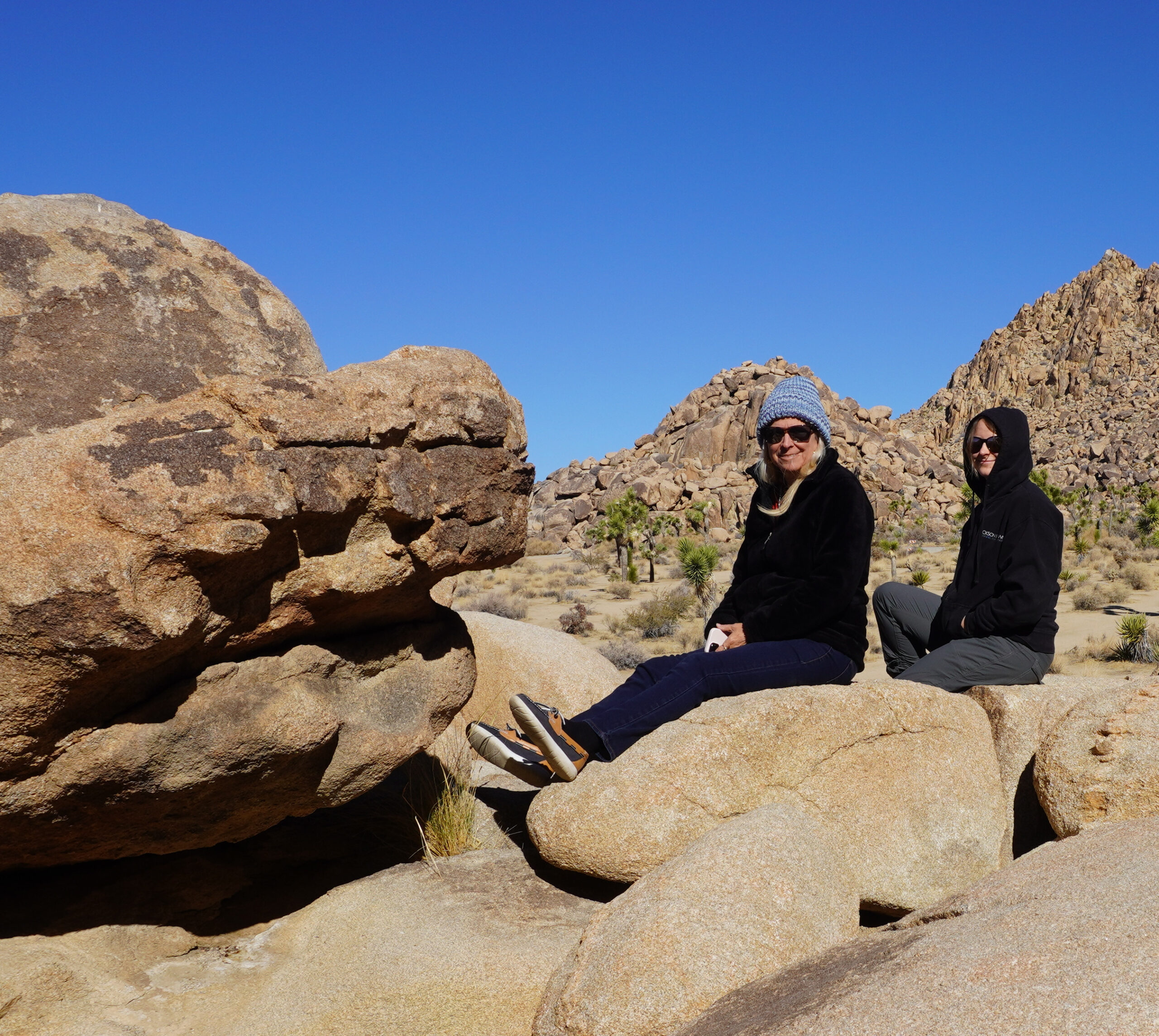
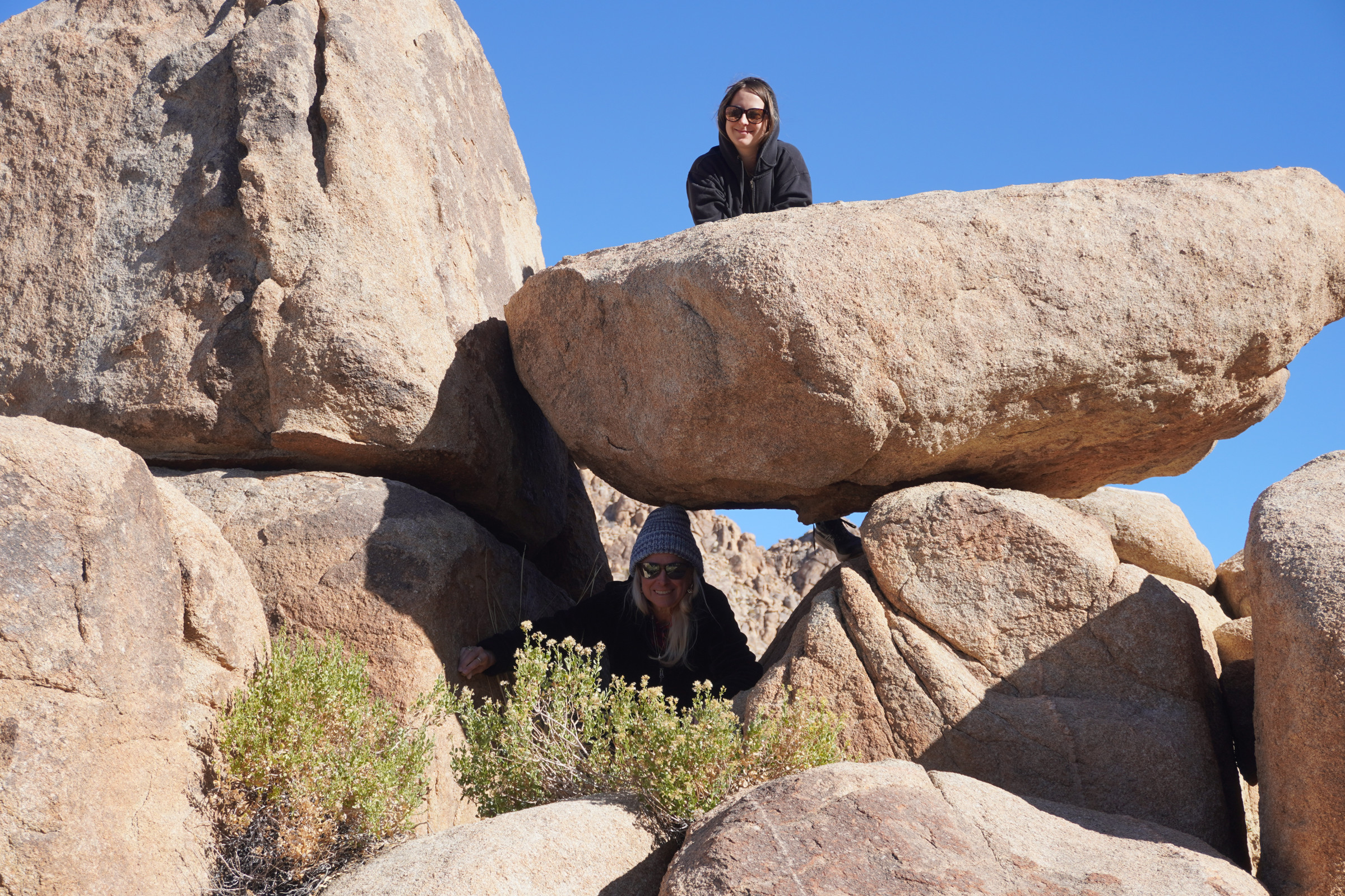
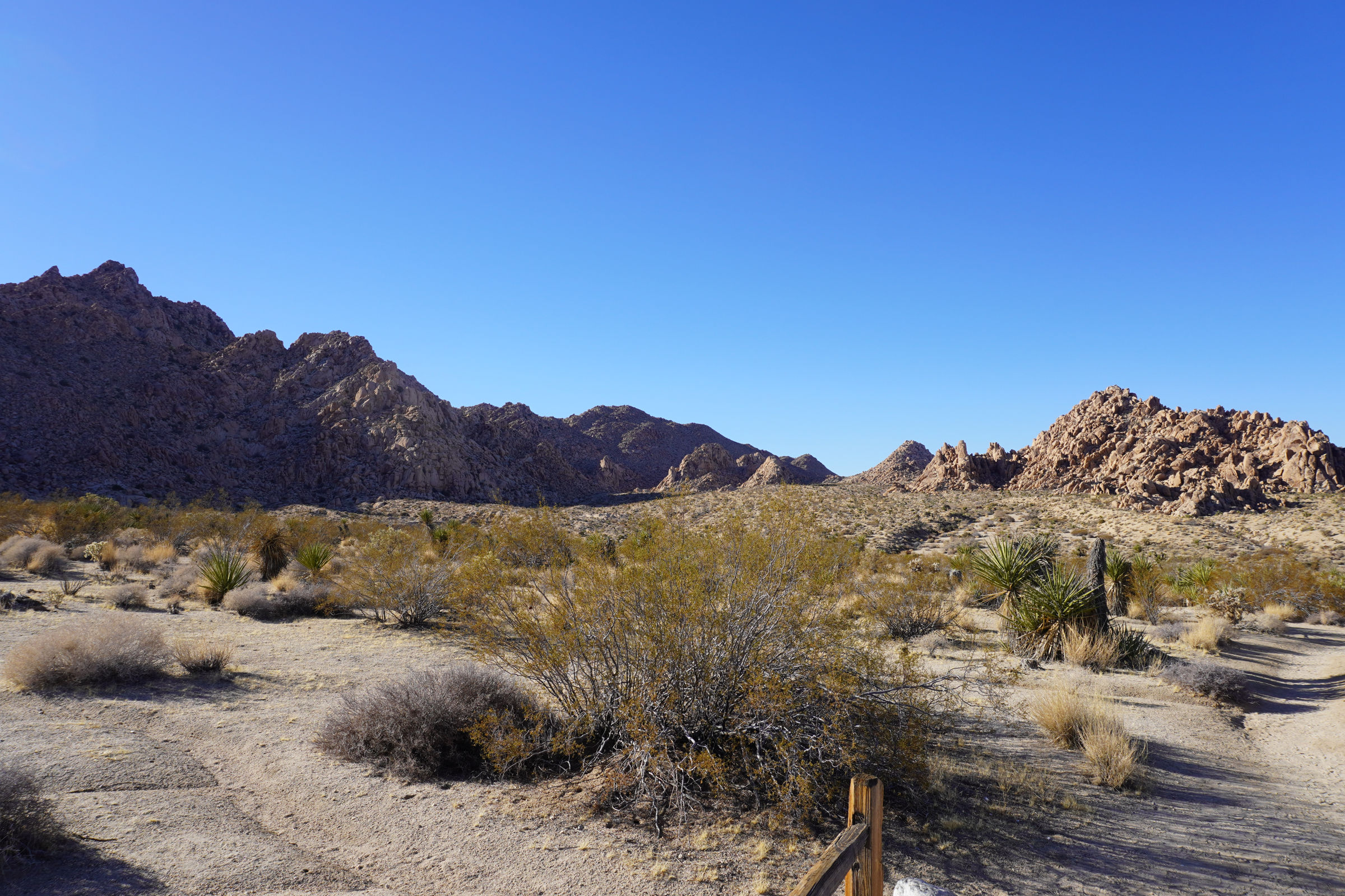
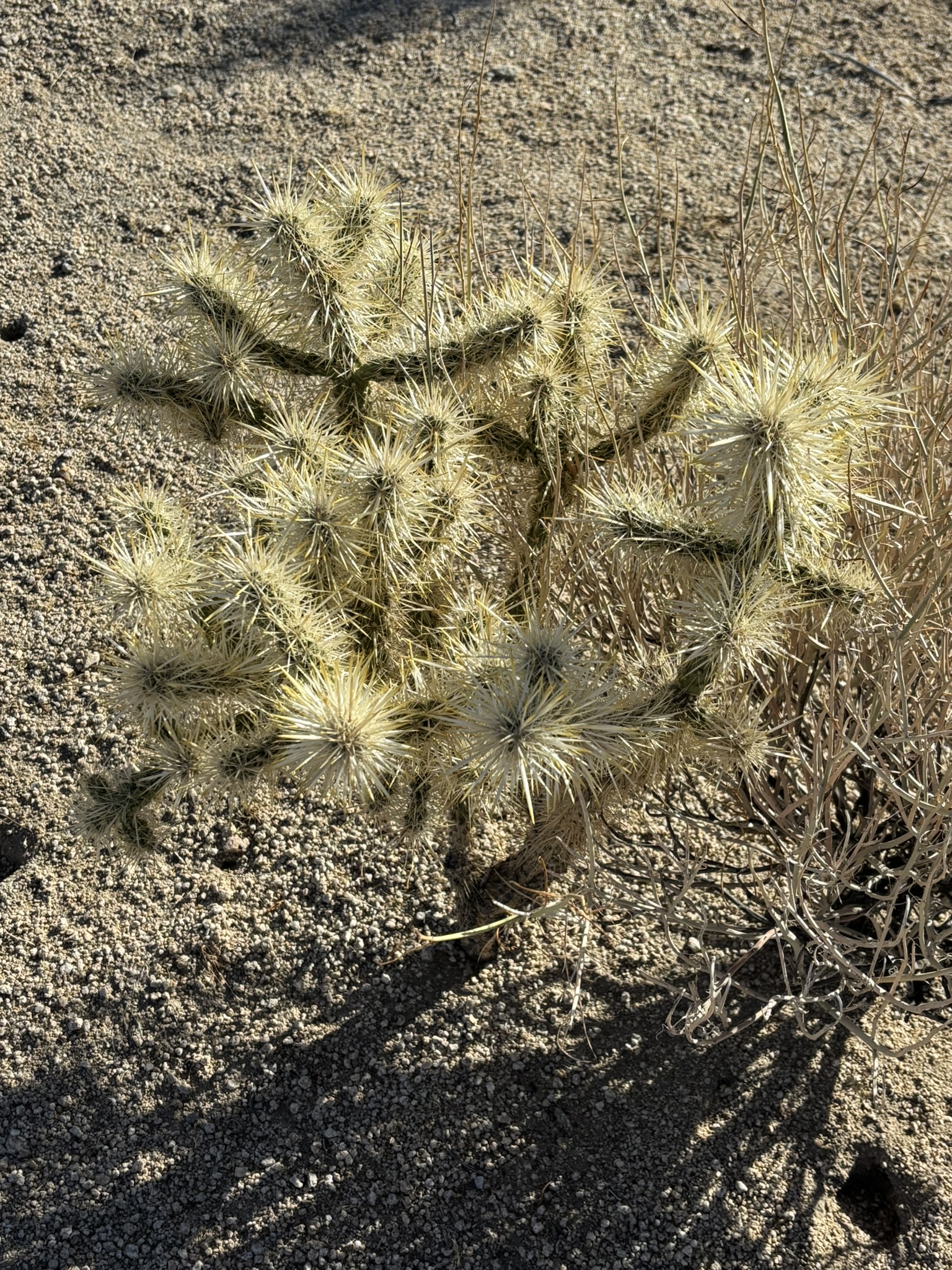
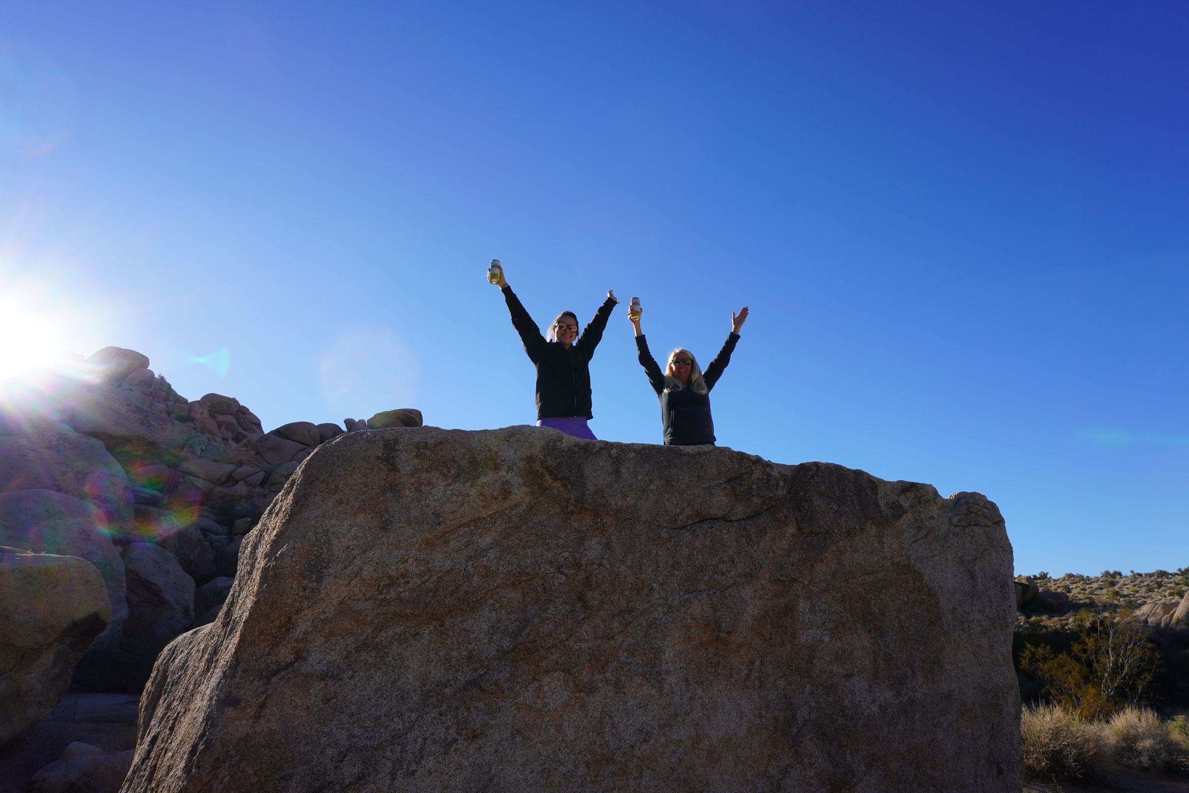
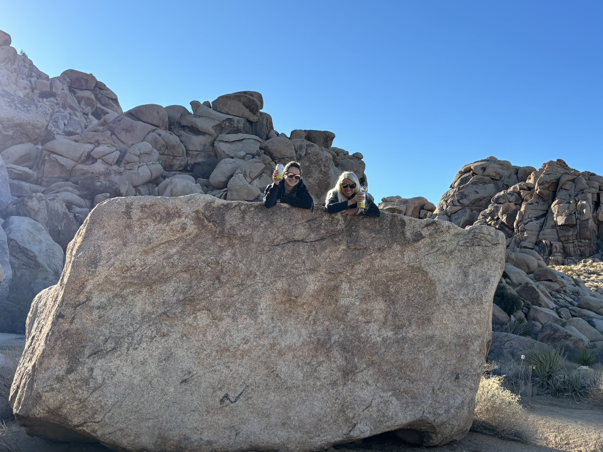
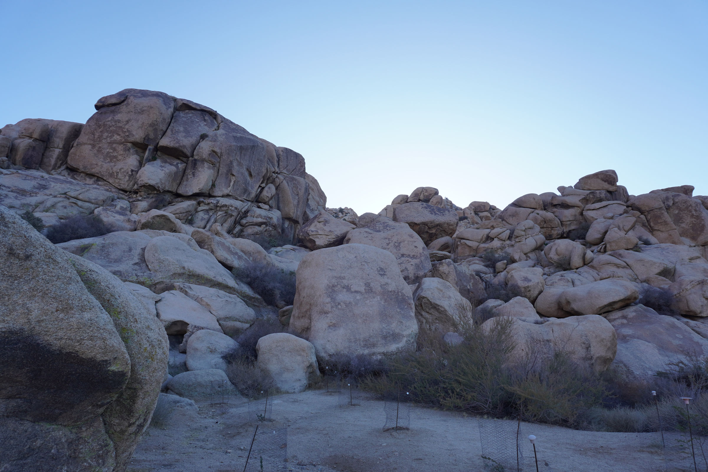
Indian Cove was very Joshua Treeish with rocks, trees, cholla and of course Joshua Trees. Most of all, on December 5th, it was relatively deserted. There were a few diehards in the campground. They had the primo spots. We did a short hike on the Indian Cove Nature Trail; a .75 mile walk with signs describing vegetation and geology. The views were spectacular and overall, I would rate the scenery and the natural surroundings as excellent. It was a very low-key walk.
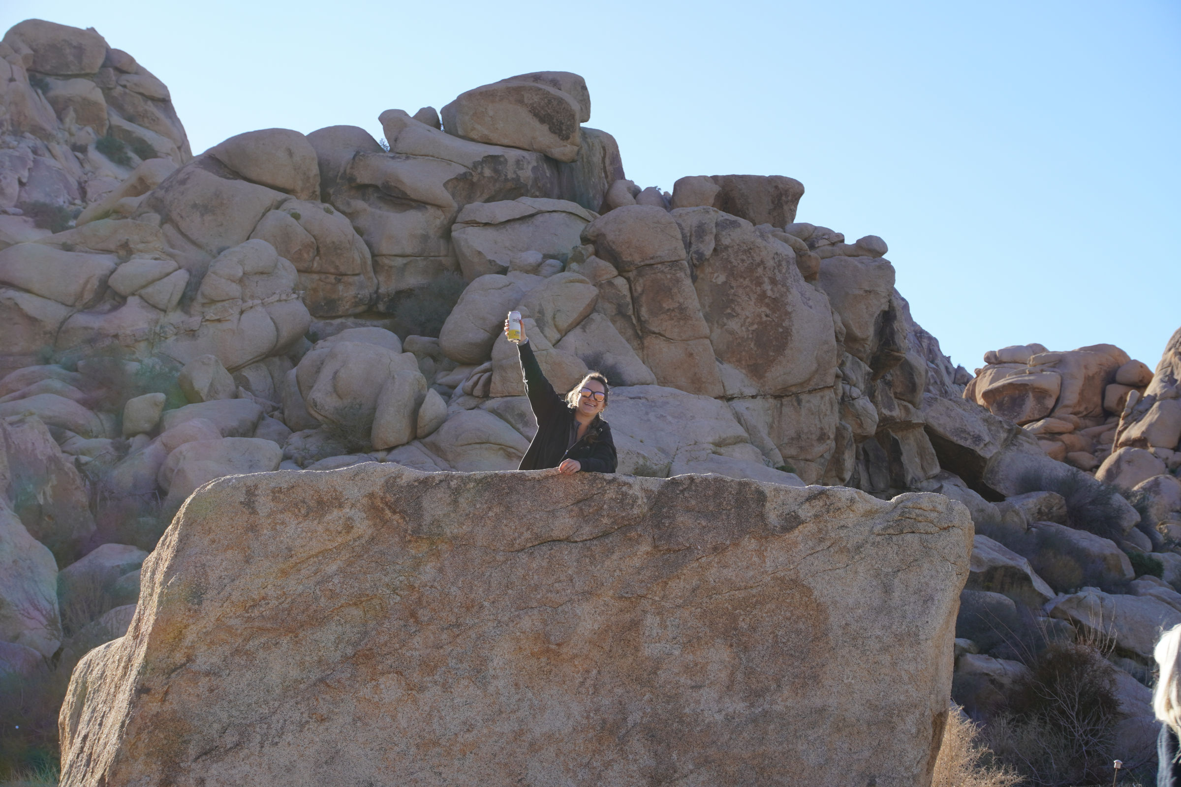
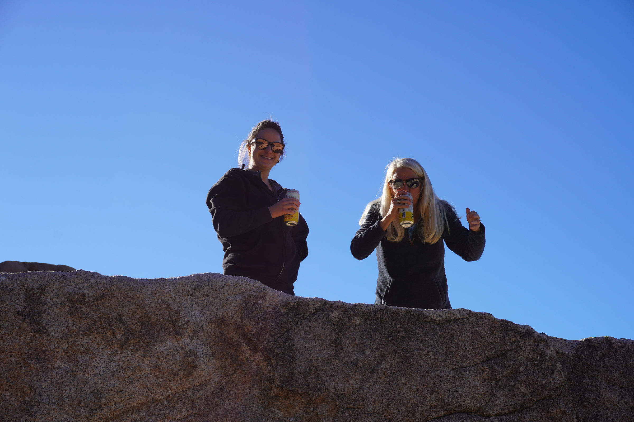
However, not low enough key to forgo a congratulatory beer at the end of an exciting day. The sun goes down pretty early on the north side of the park in early December. We drove over to the picnic area, found a likely looking rock and sat back to enjoy a cerveza.
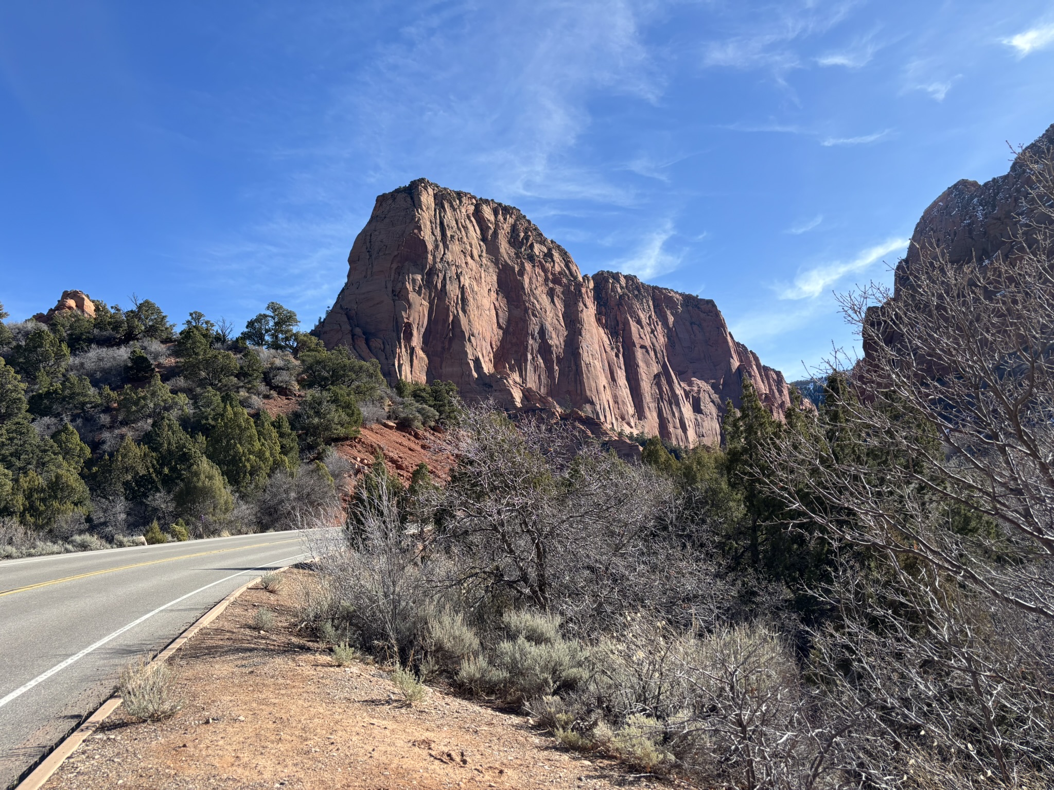
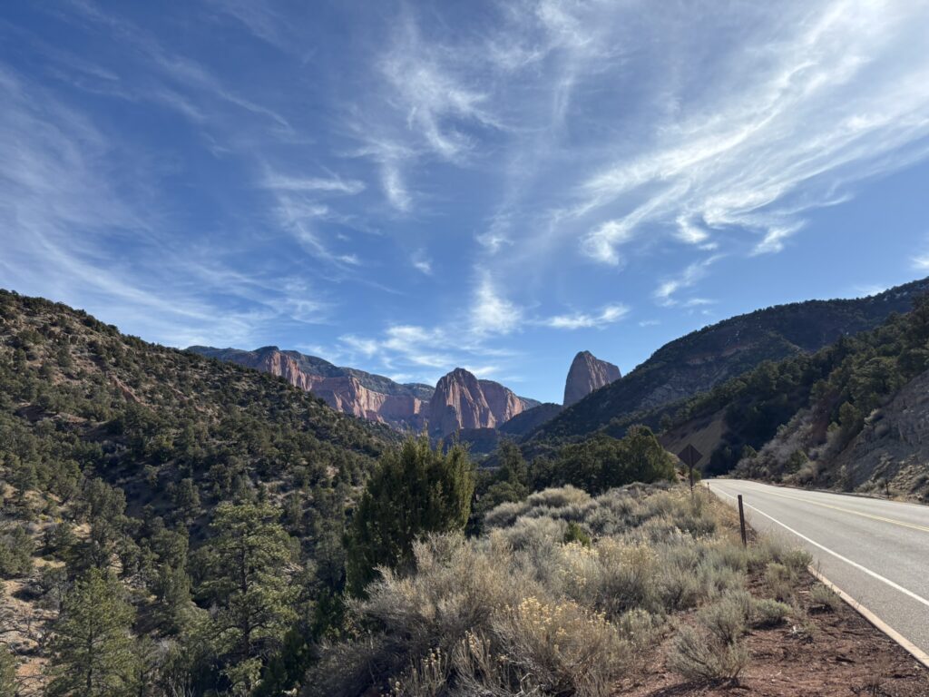
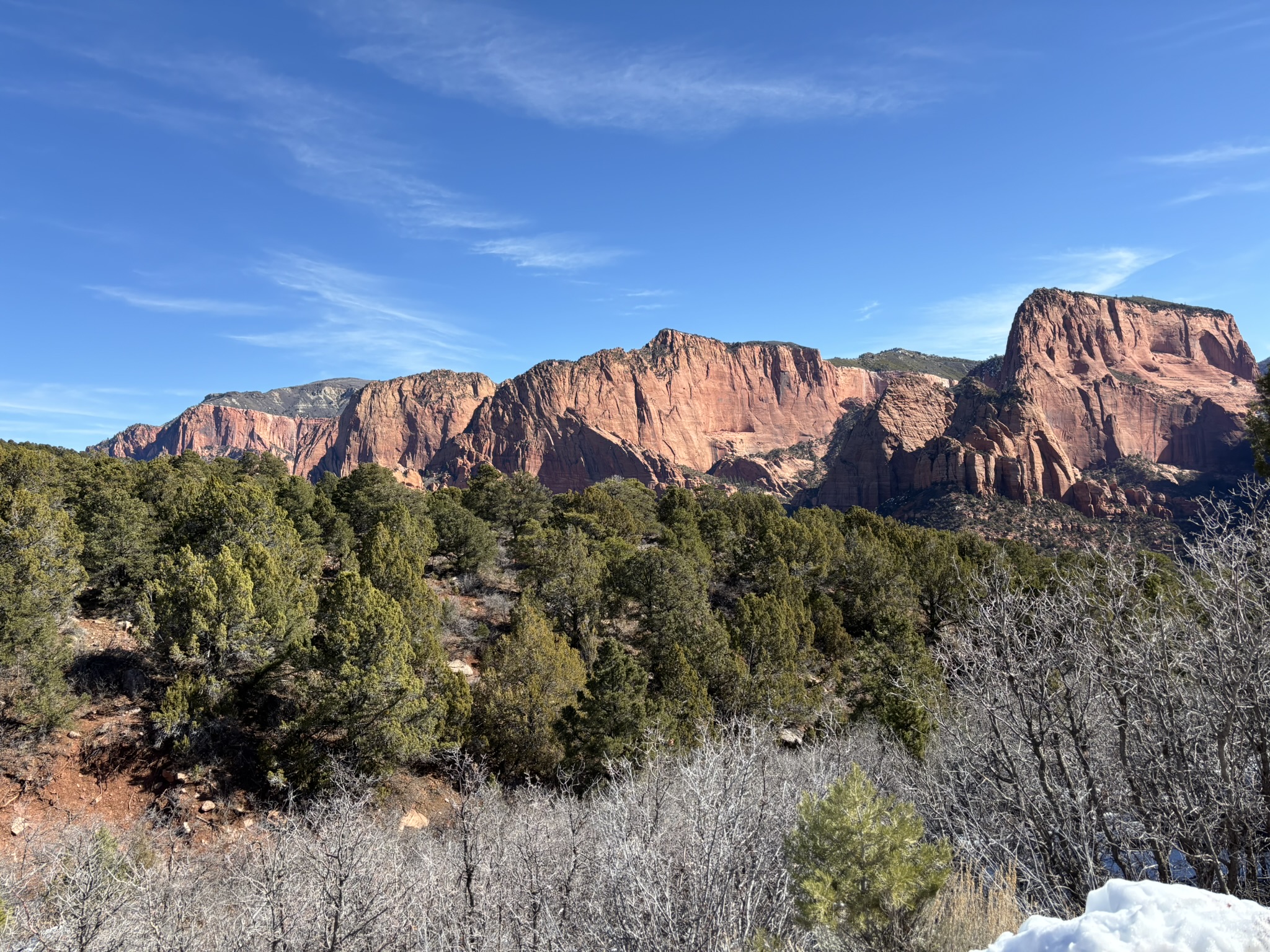
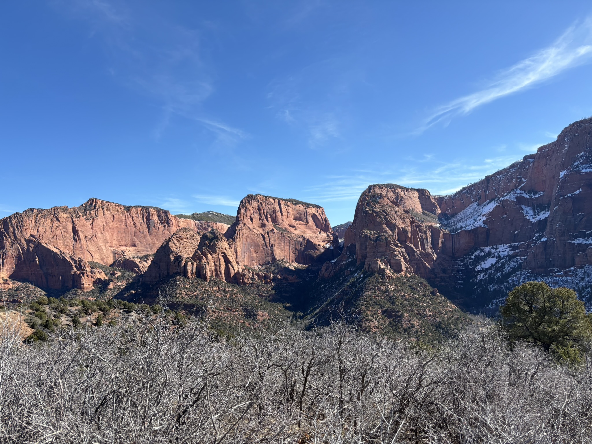
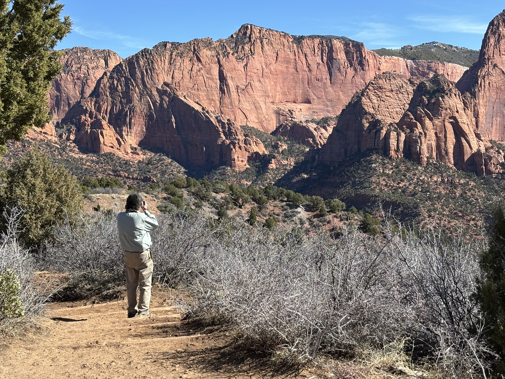
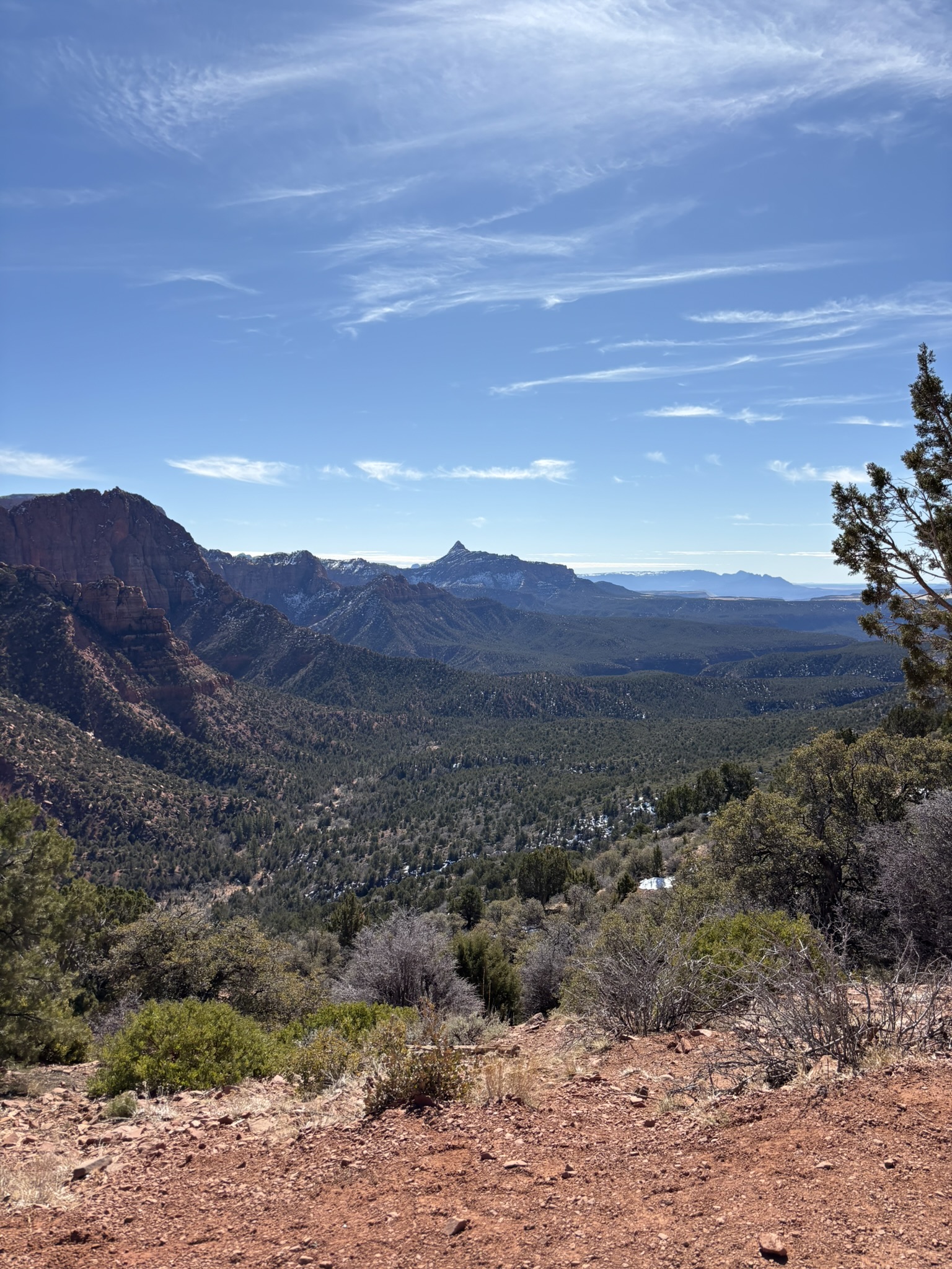
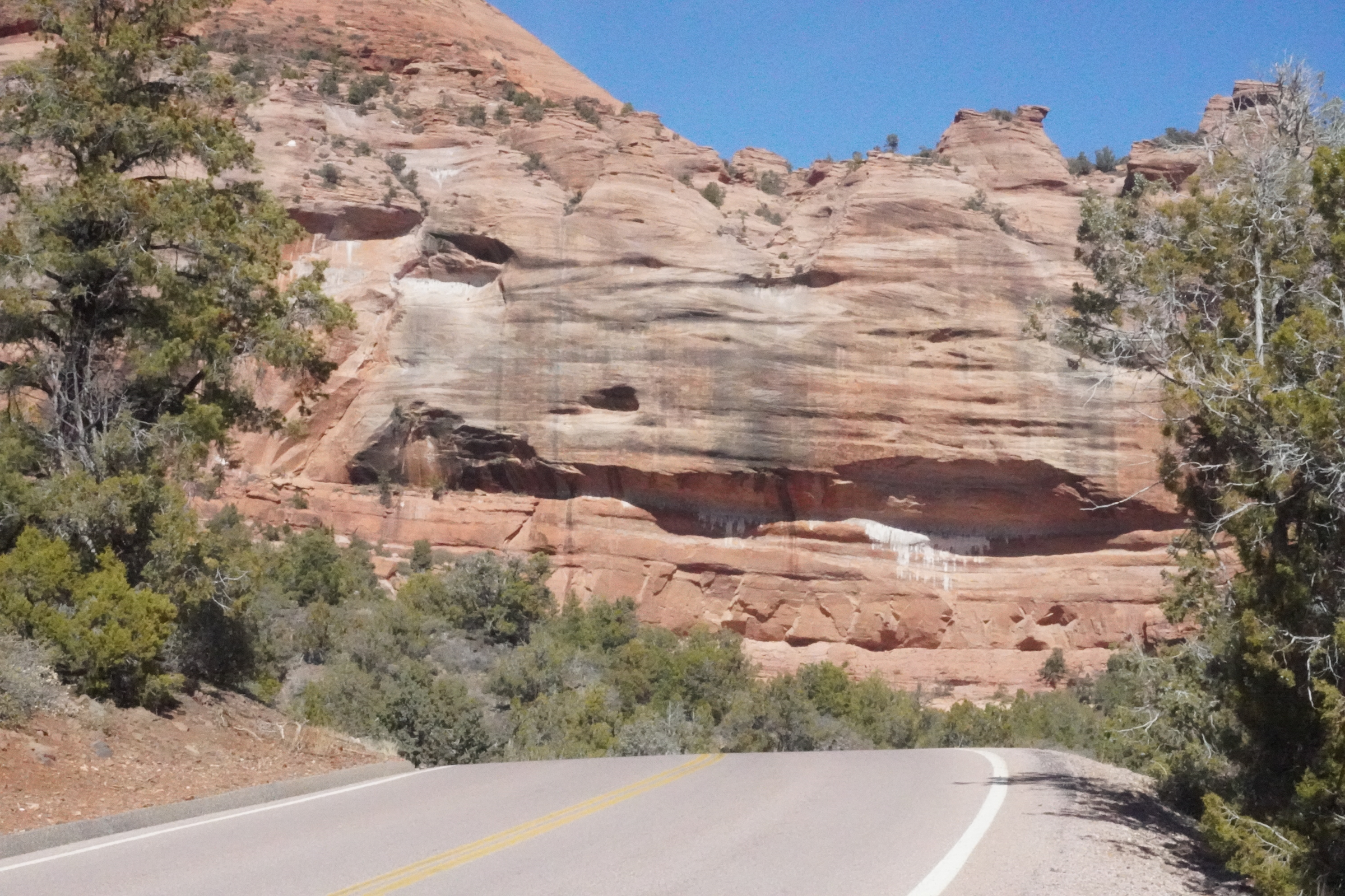
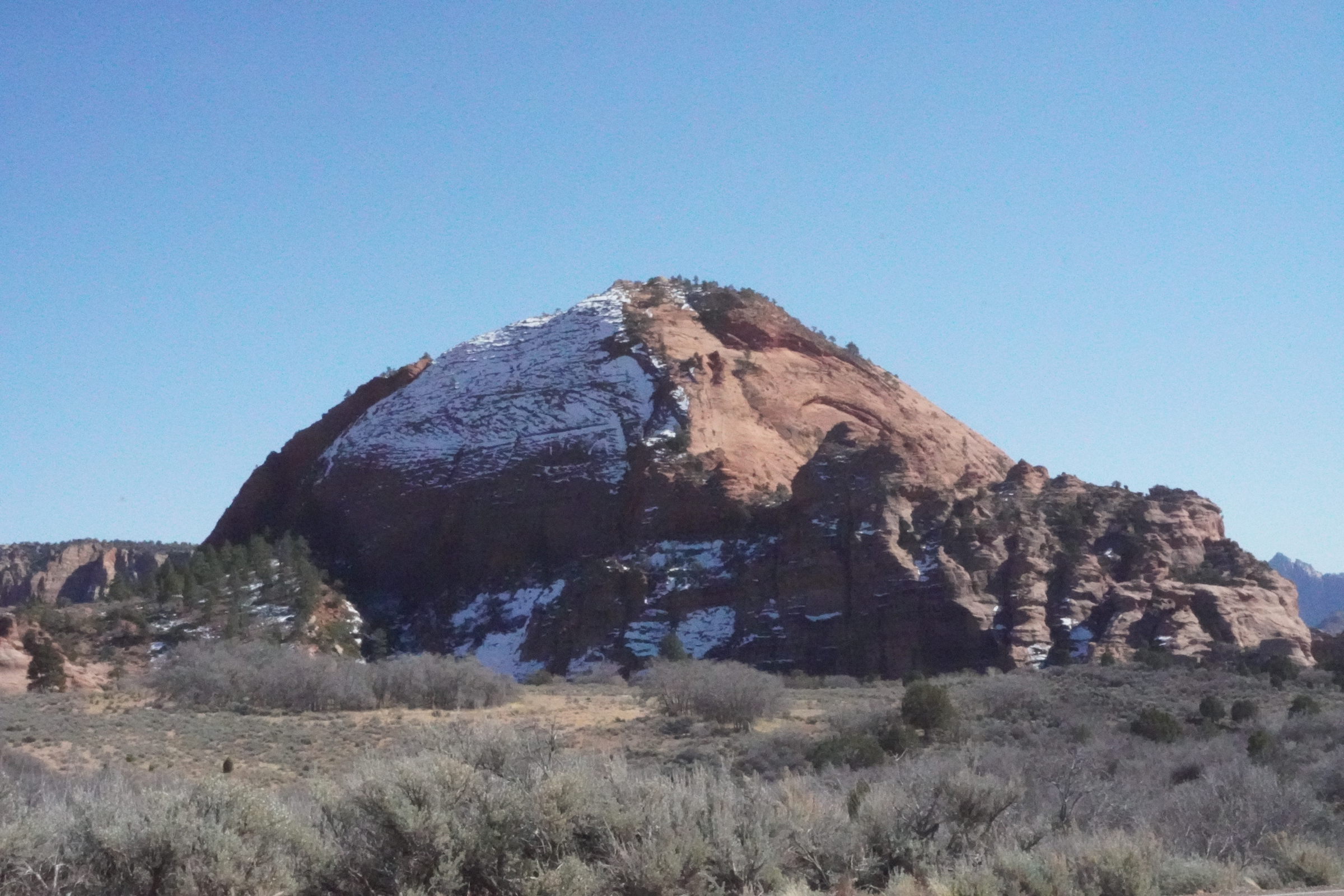
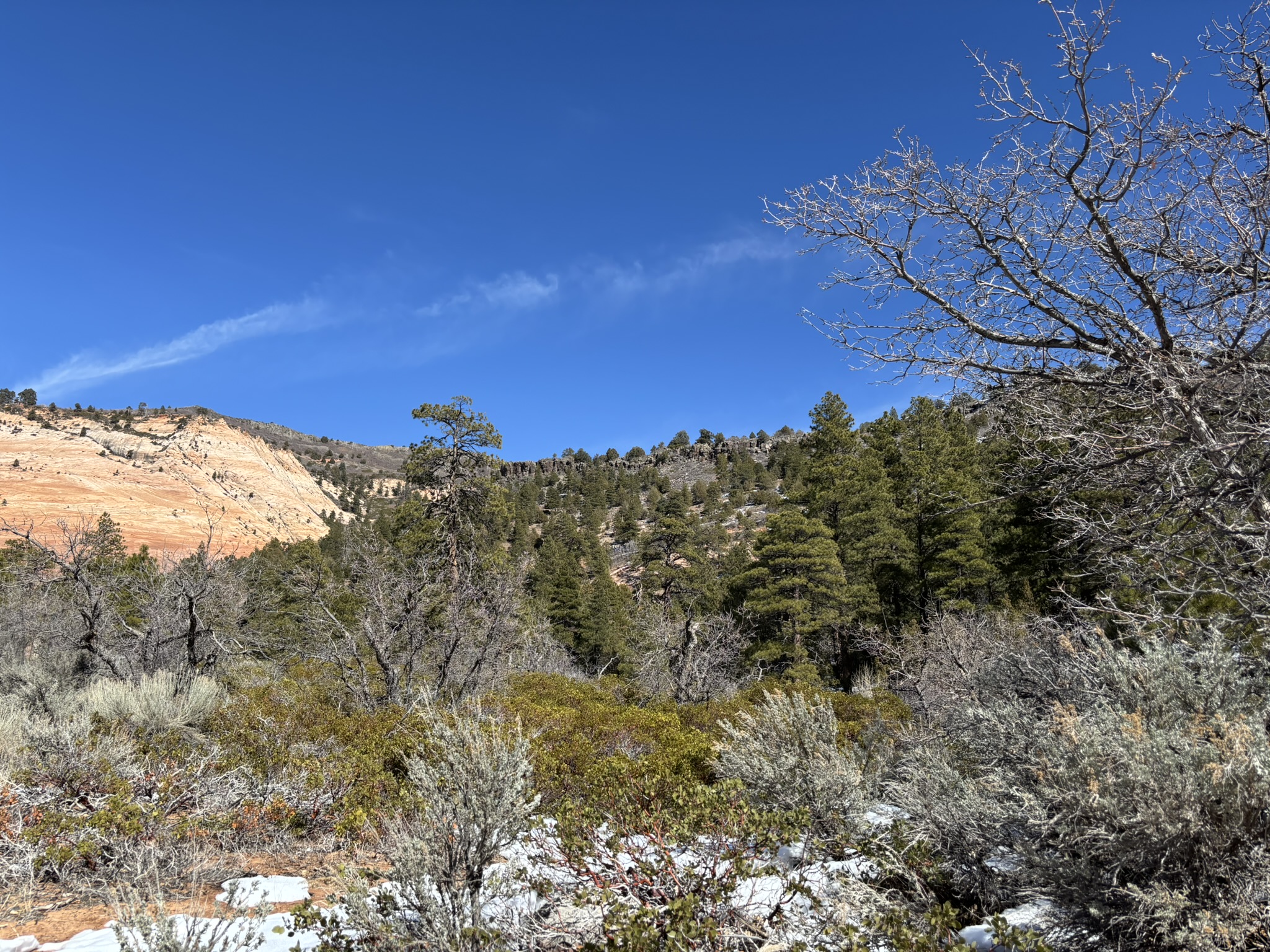
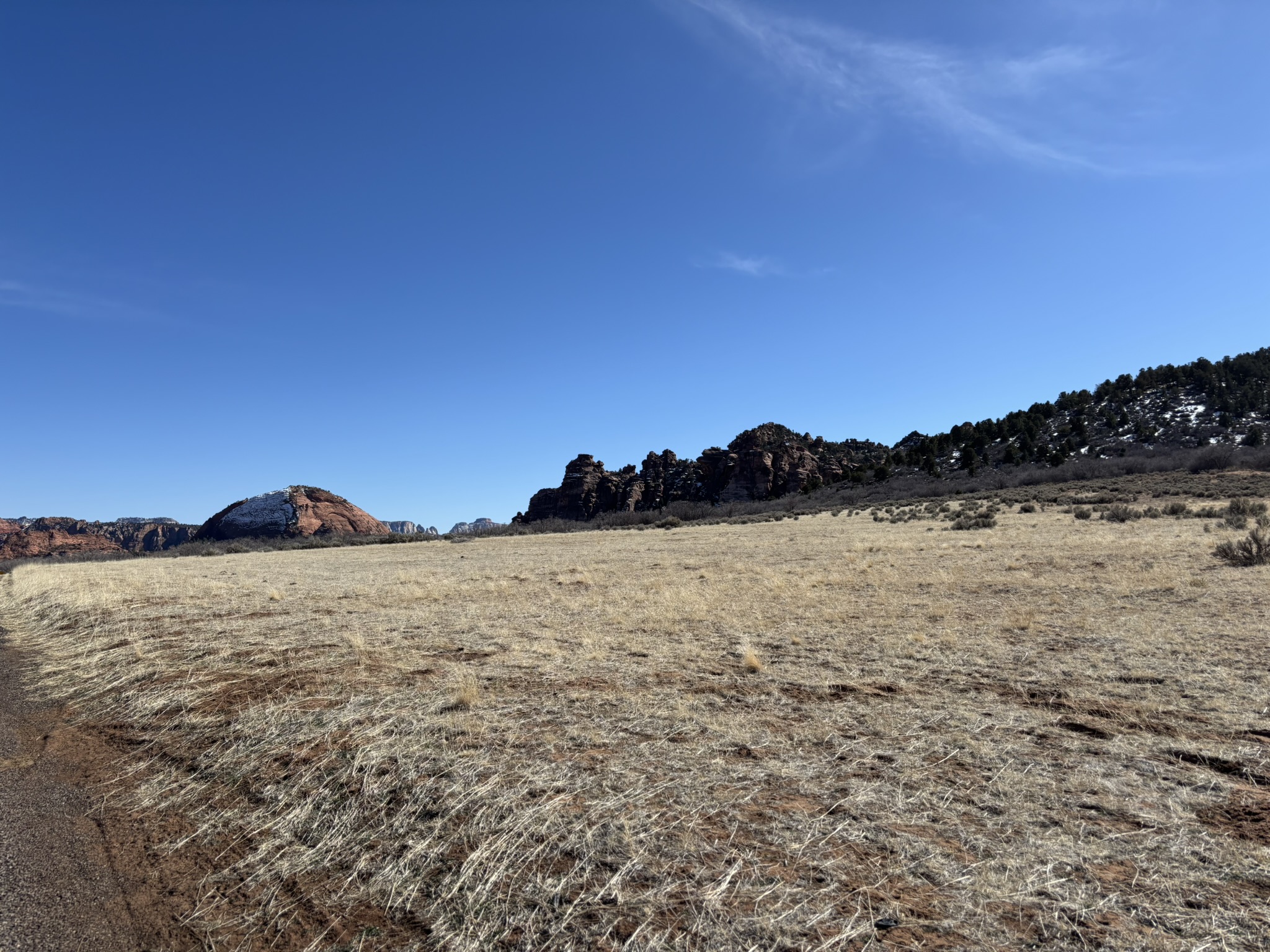
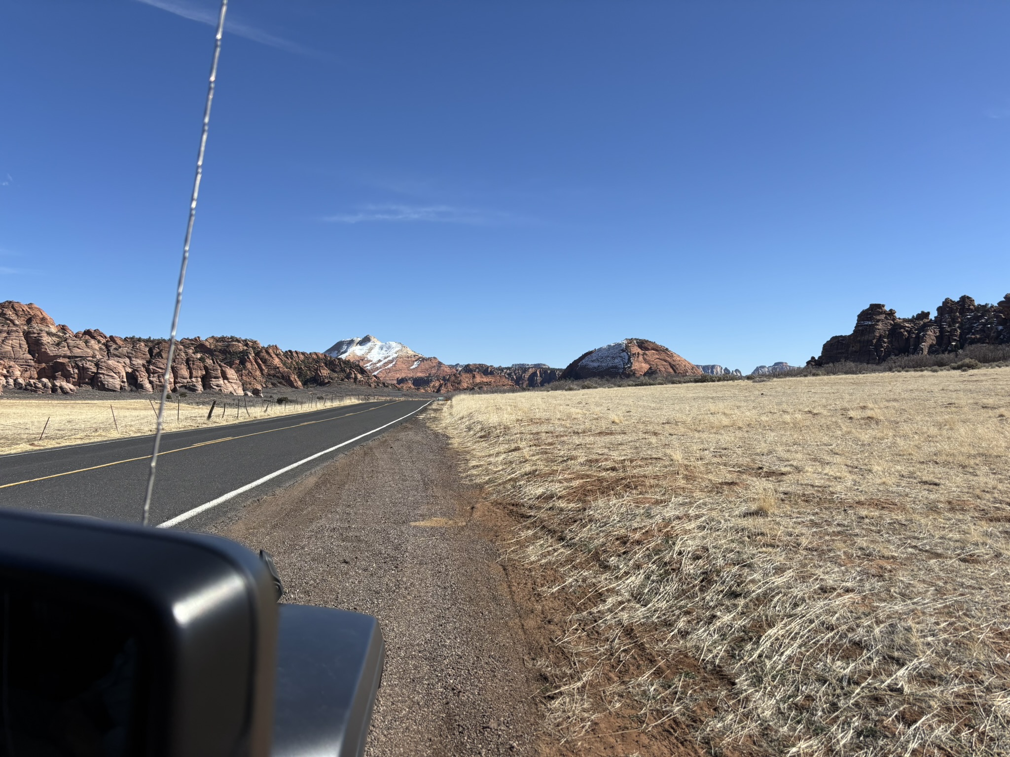
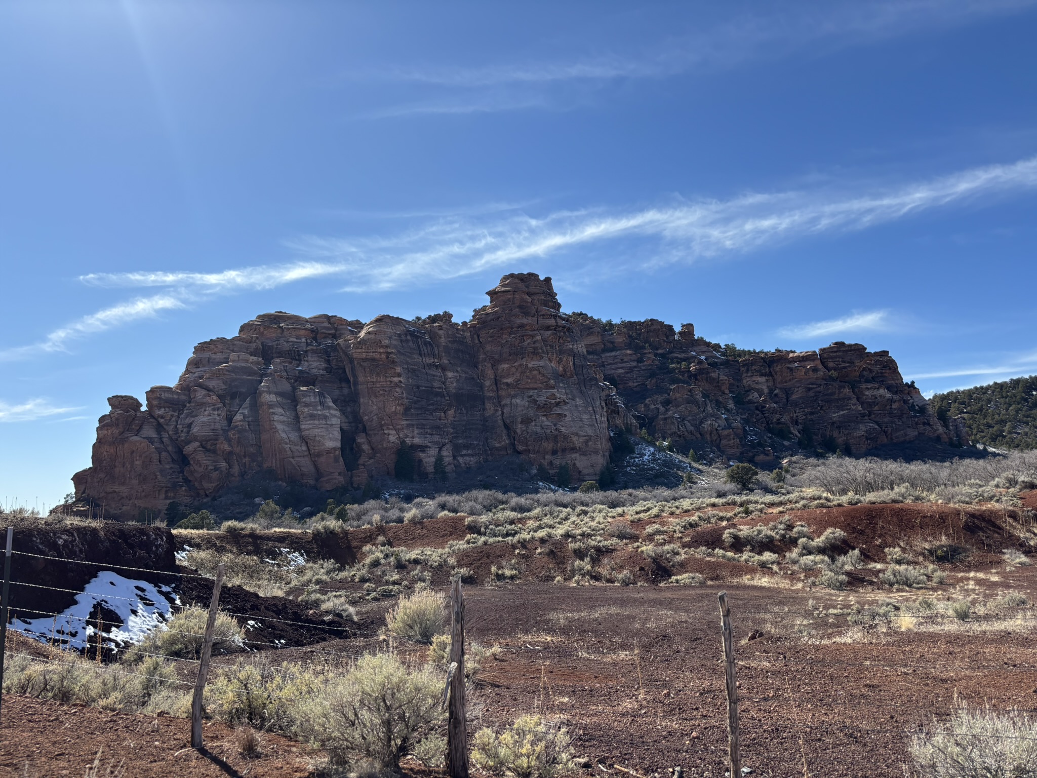
There are two areas of Zion NP that are definitely not as well traveled as the main South Entrance/Scenic Drive area. Kolob Canyons is about a 45-mile drive from Springdale via Utah SR-9 westbound and down and then I-15 north. A second area, Kolob Terrace, sort of splits the park into the northwest Canyons area and the southeast South Entrance area. Access to this area is off of Utah SR-9 and then a 15-mile drive north, deep into the Terrace environment. Neither of these areas are burdened with shuttle activities in the high time of the year, and yet both offer magnificent views and some great hiking activities. We spent all of Tuesday 2/25 in these two areas.
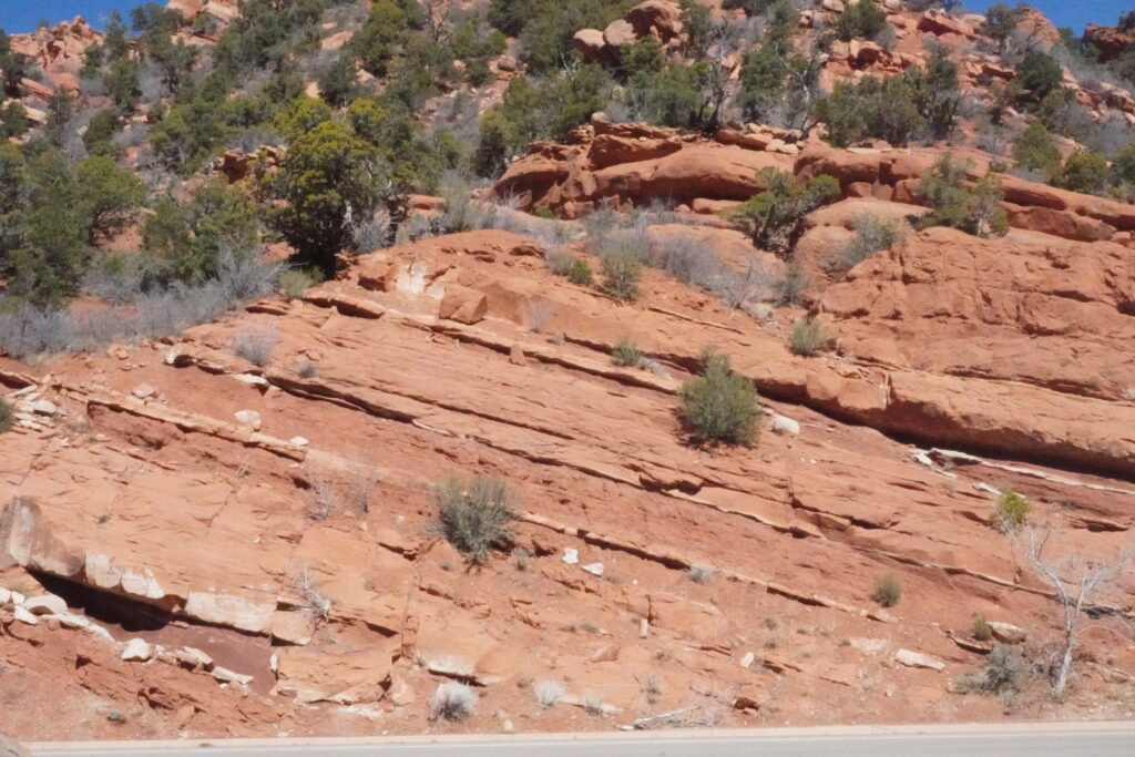
The Kolob Canyons scenic road is a 10.4-mile long road leaving from a small, but very friendly, visitor center on a more or less continuous climb first across the Hurricane Fault and then to work our way up past Chinle, Kayenta and Navajo outcrops to a very expansive scenic view that, on this day, was good for a faint view of Humphreys Peak near Flagstaff, Az. Haven’t talked much about the Kayenta or the Chinle because over on the south scenic drive, these formations, while present, are at the bottom of the Navajo and because they weather and erode easier are usually not as visible since frequently vegetation and soil somewhat hides them. The Kayenta Formation is a reddish-brown to pink sandstone with interbedded siltstones and mudstones. These units are about 190-200 million years old (Jurassic period) and represent deposited in streams and rivers in an arid environment that slowly became the desert environment that encouraged the deposition of the Navajo Formation.
Kayenta Formation – Kolob Canyons
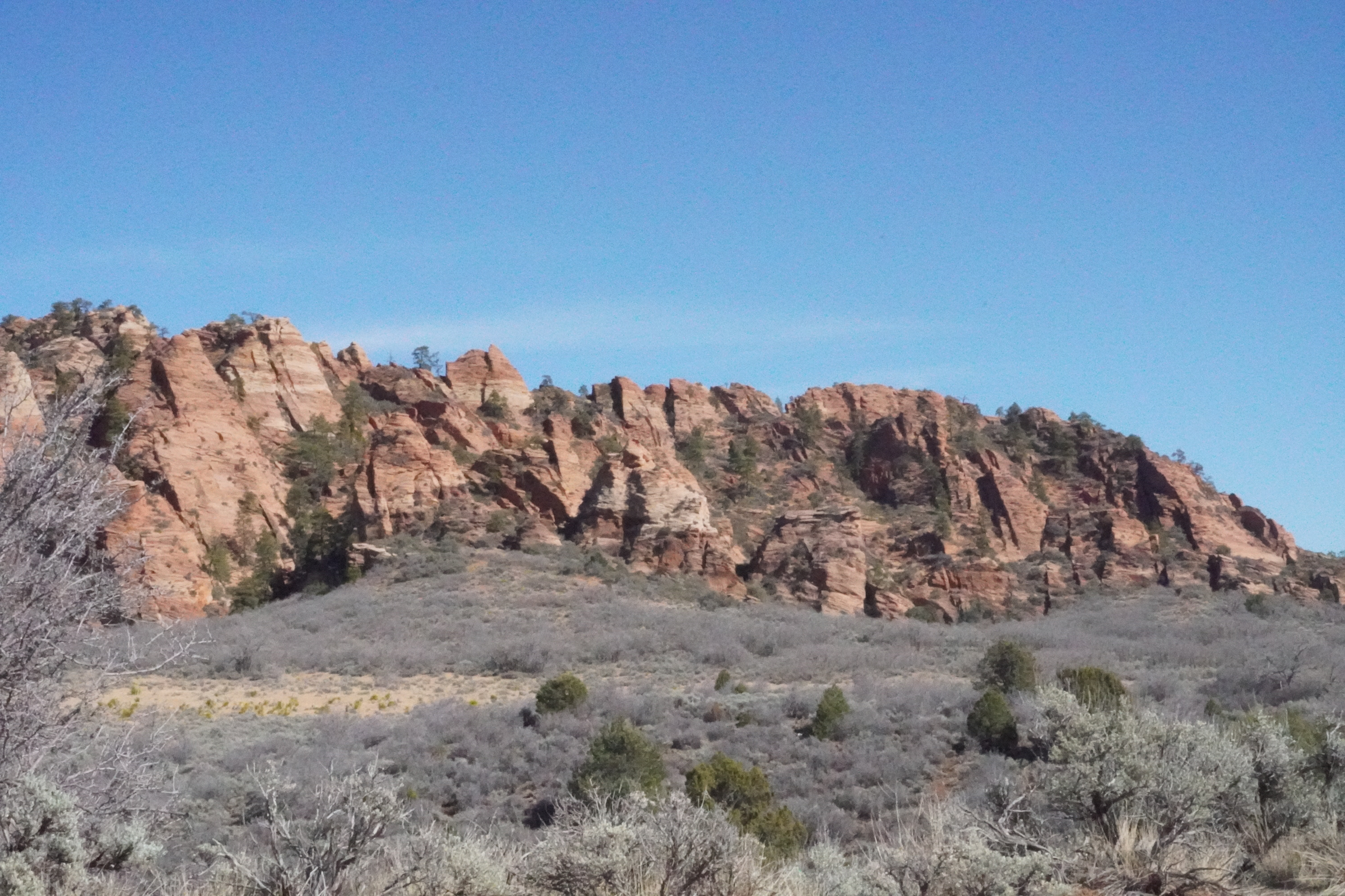
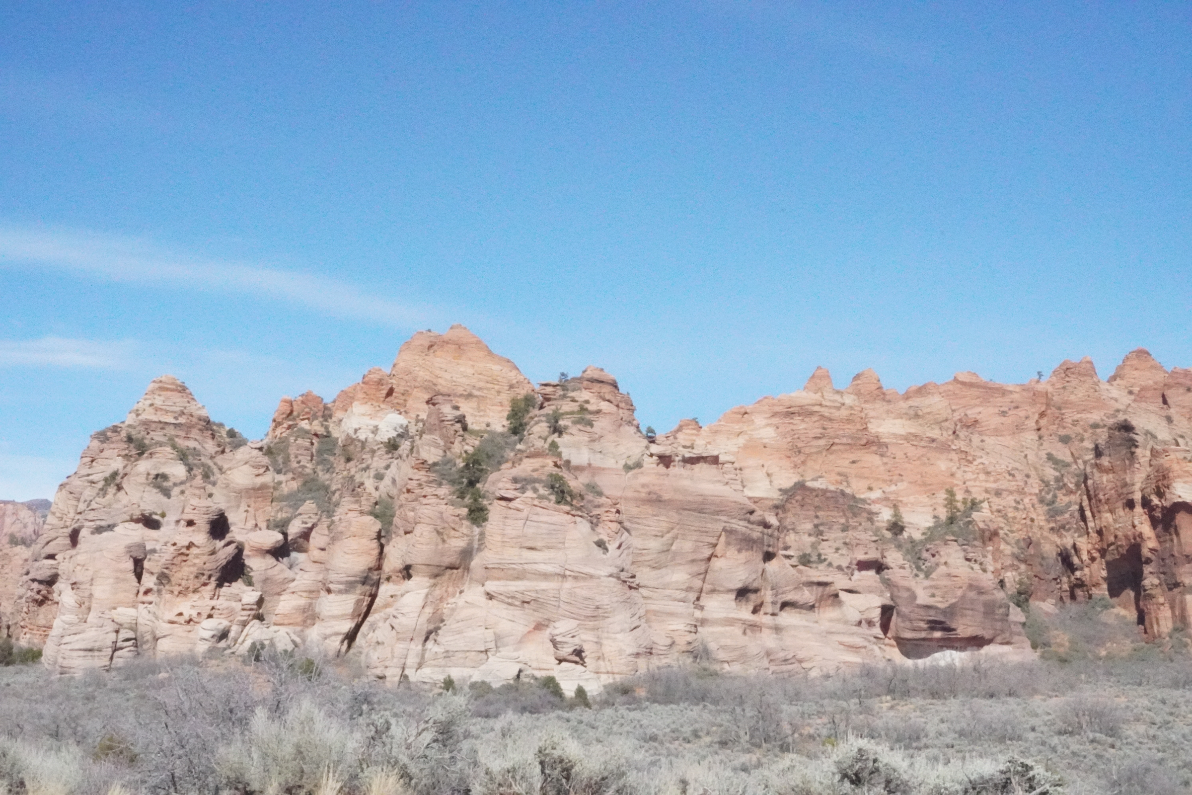
The Chinle Formation also consists of colorful mudstone, siltstone, sandstone and conglomerates. The mudstones are predominately a clay from weathering of volcanic ash. The Chinle is about 210-225 years old (Triassic period). Both the Chinle and the Kayenta are rich with dinosaur fossils. The Chinle is also famous for petrified wood which we have talked about back several posts when we visited Petrified Forest NP.
The Chinle, not as well exposed but makes up the rocks on each side of the road.
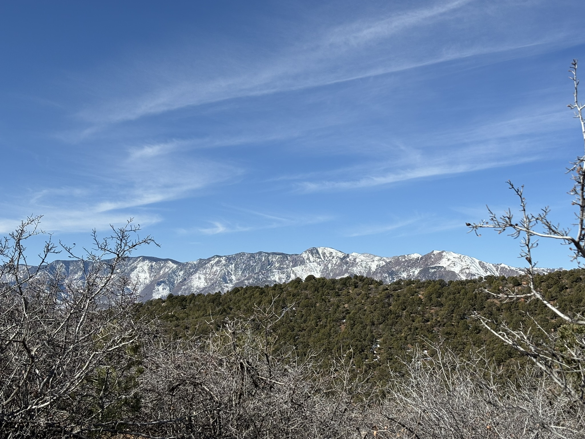
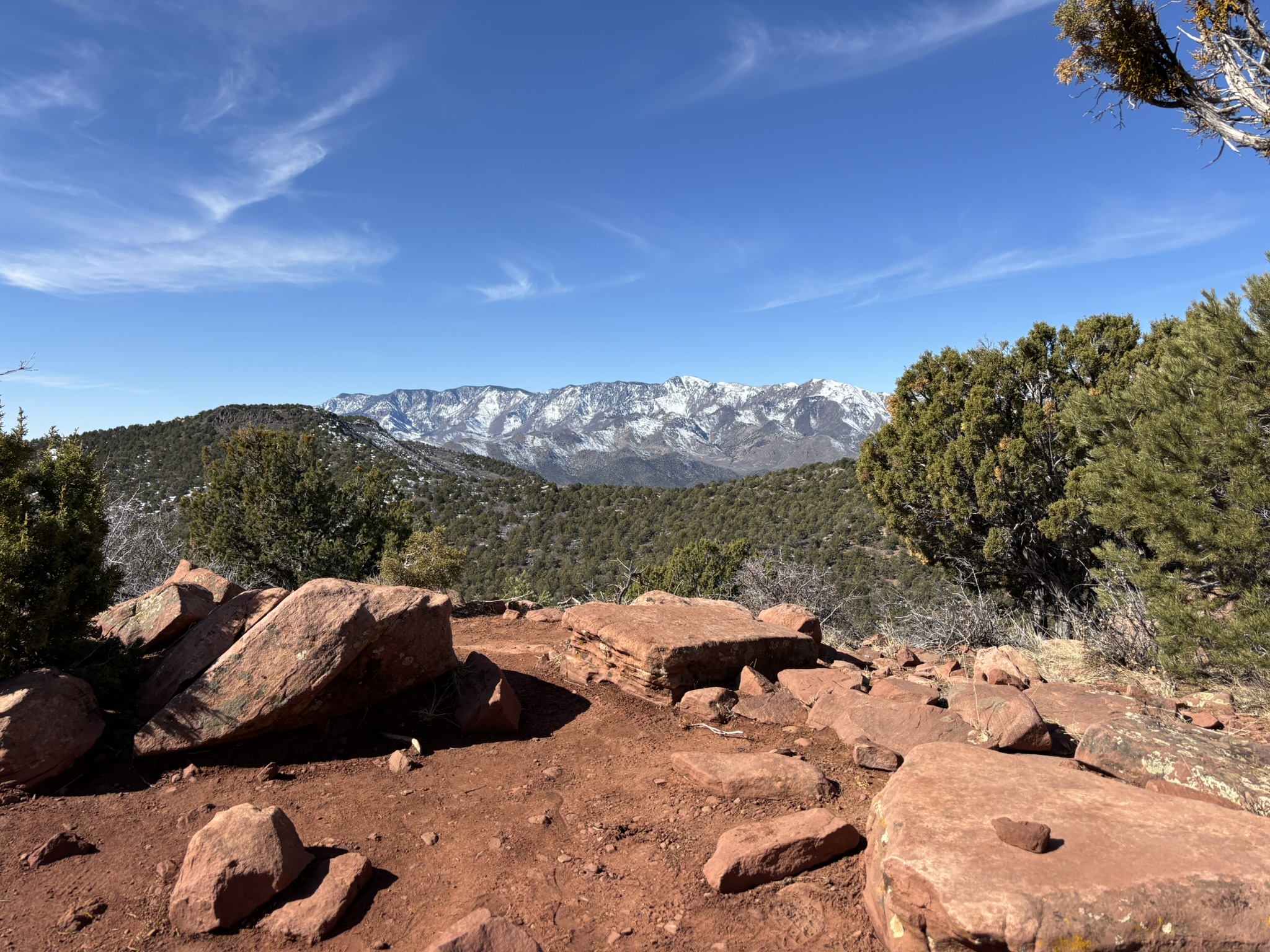
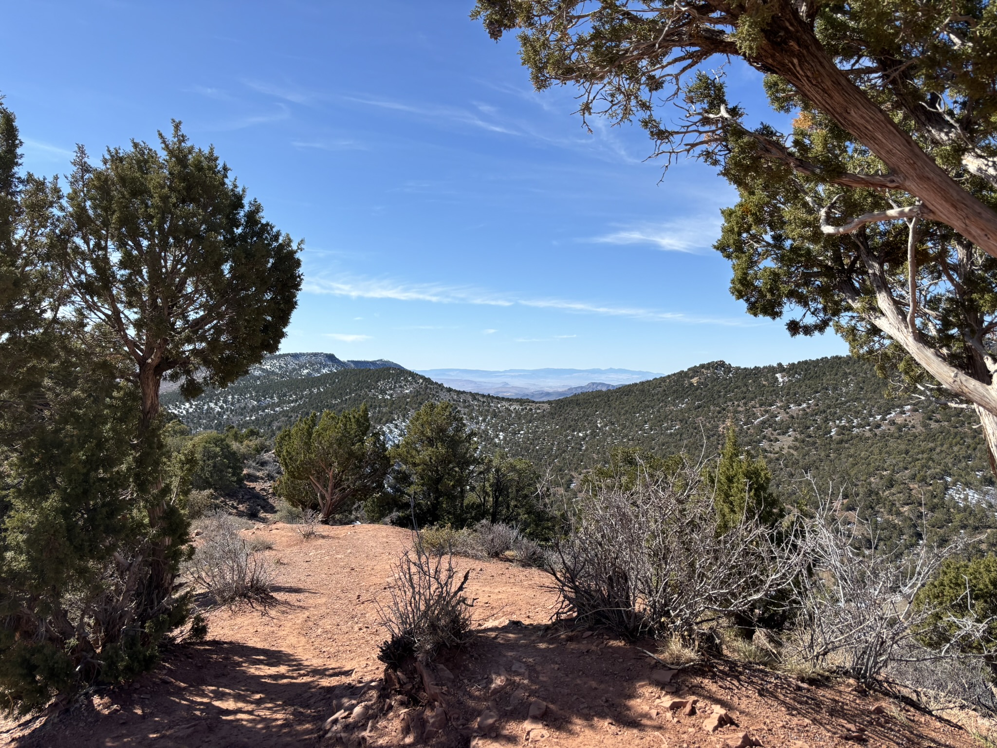
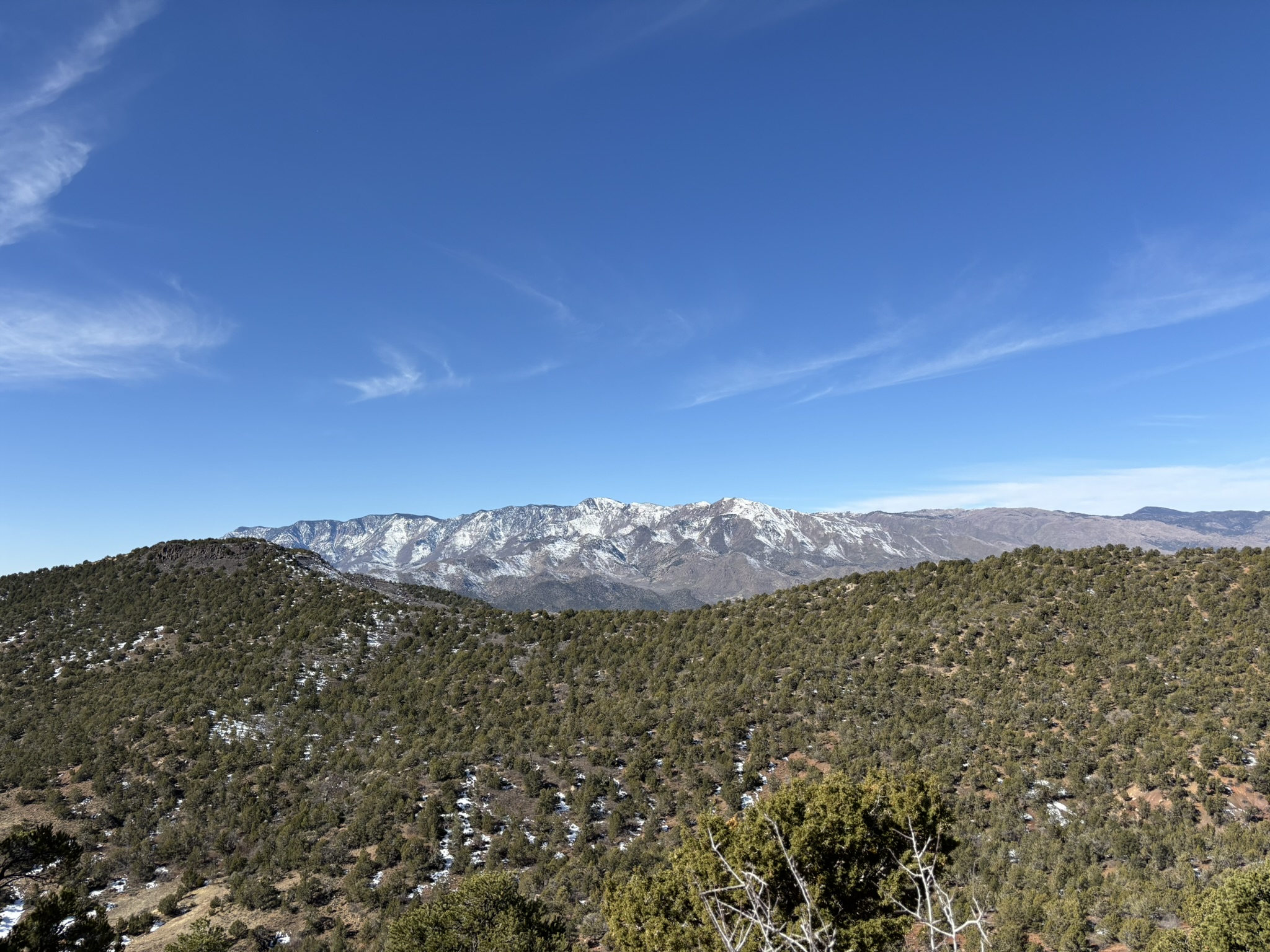
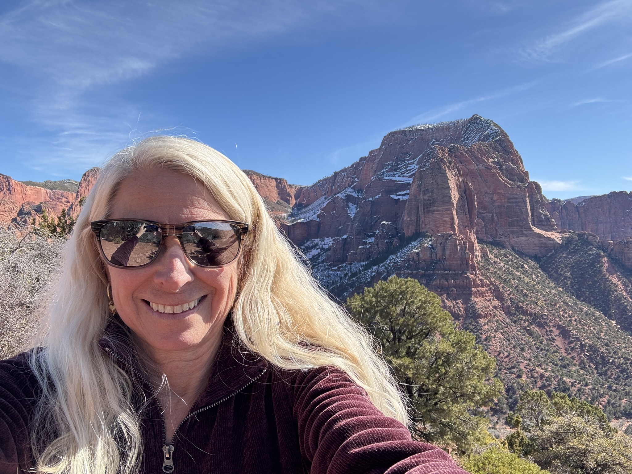
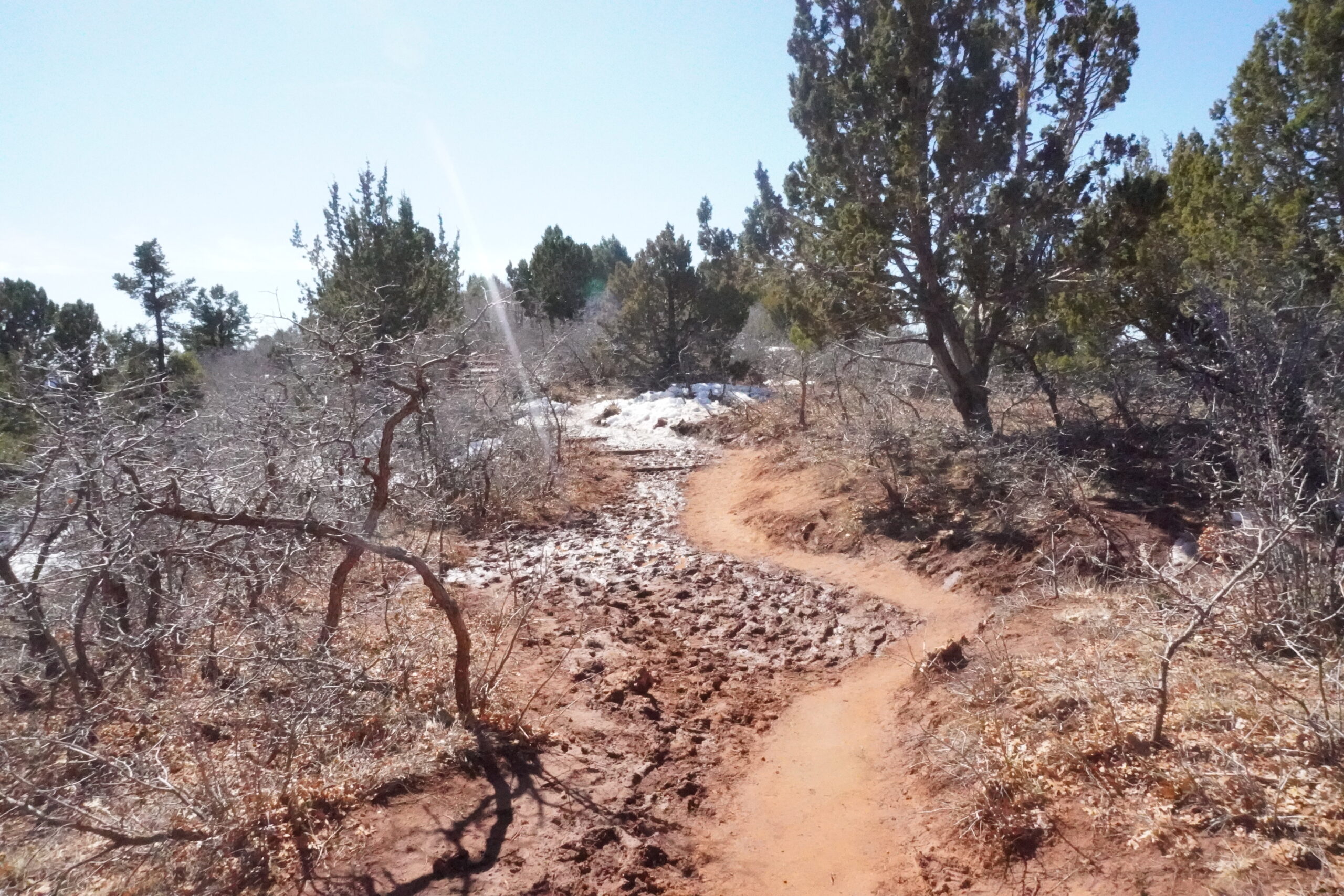
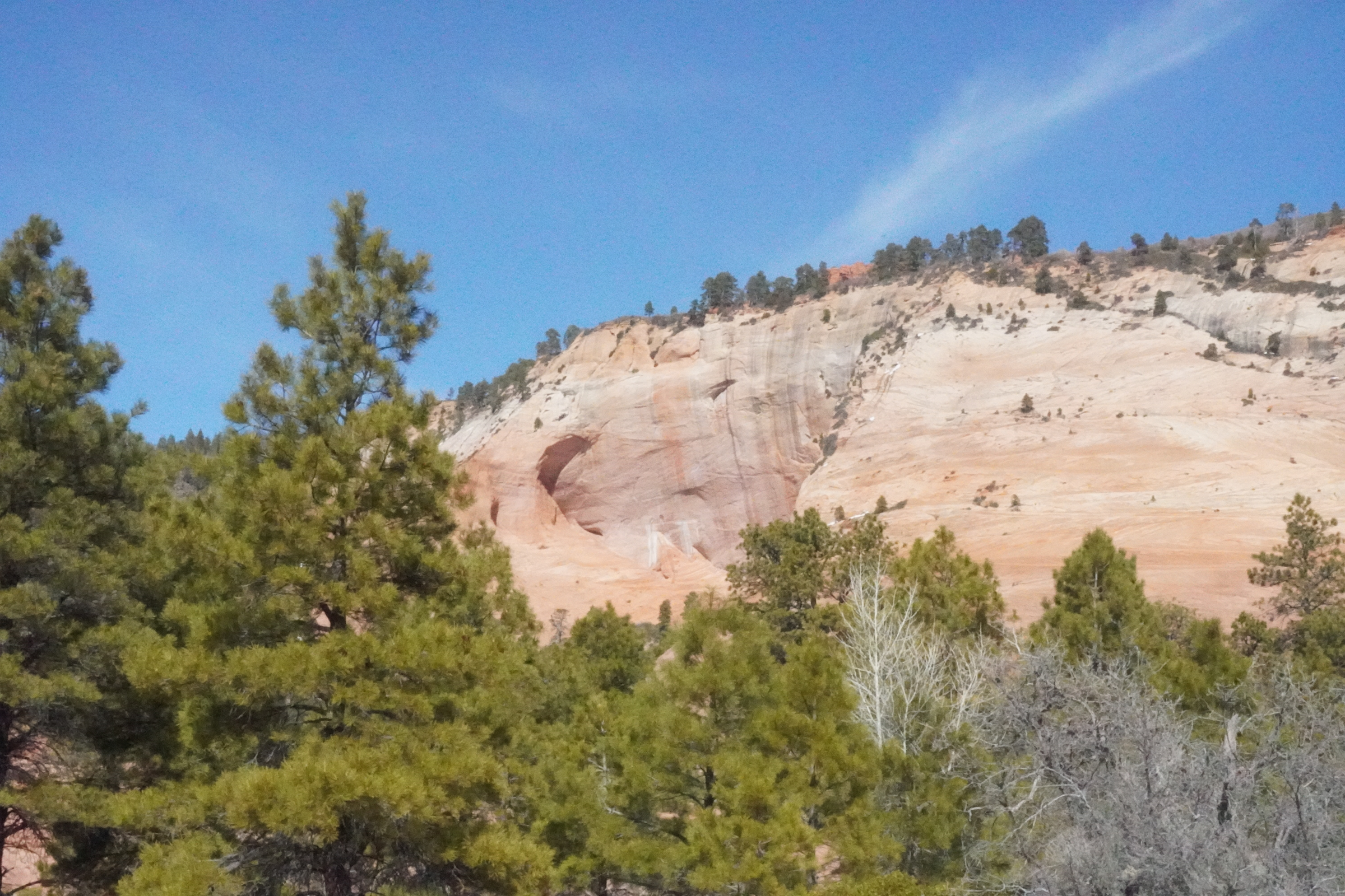
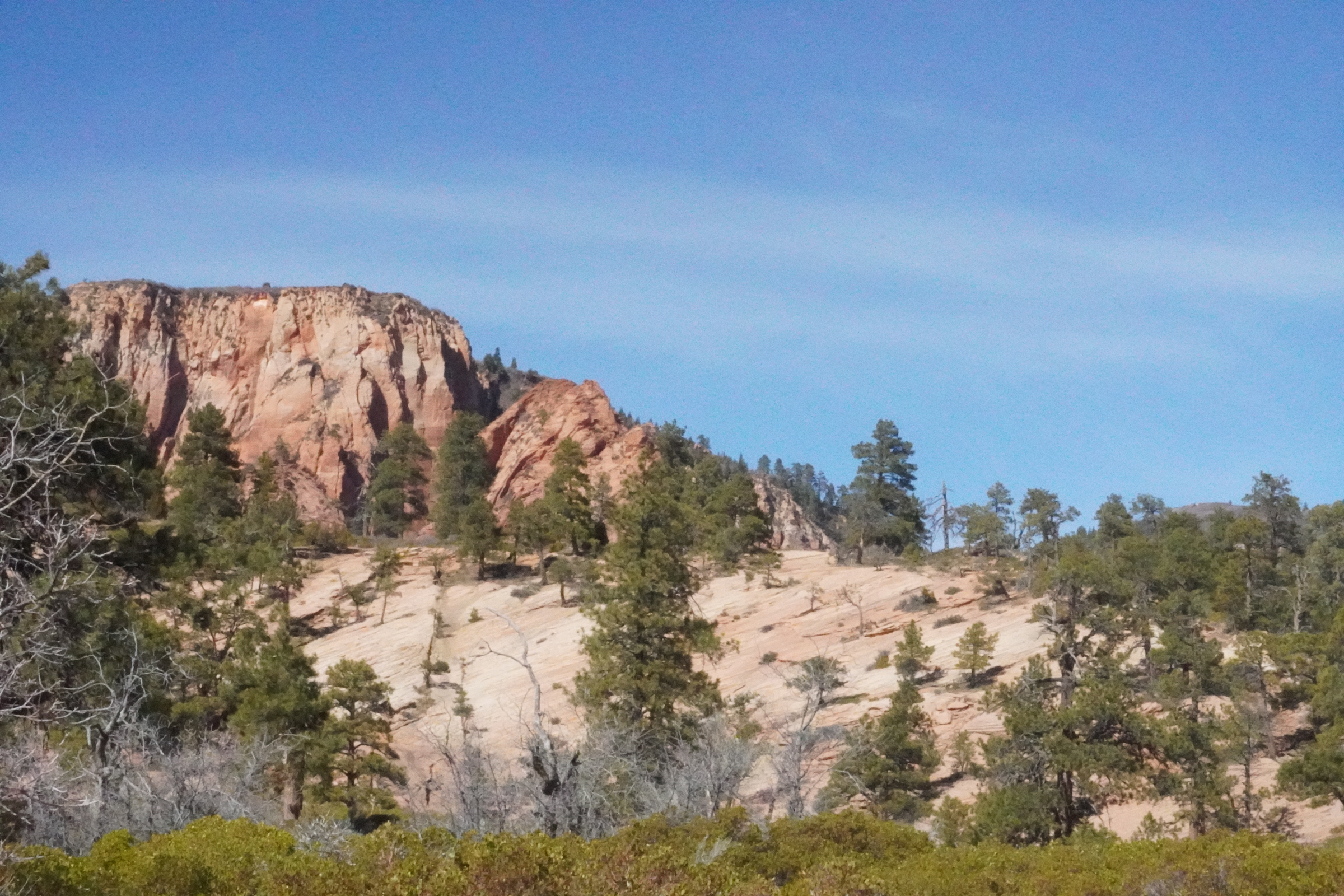
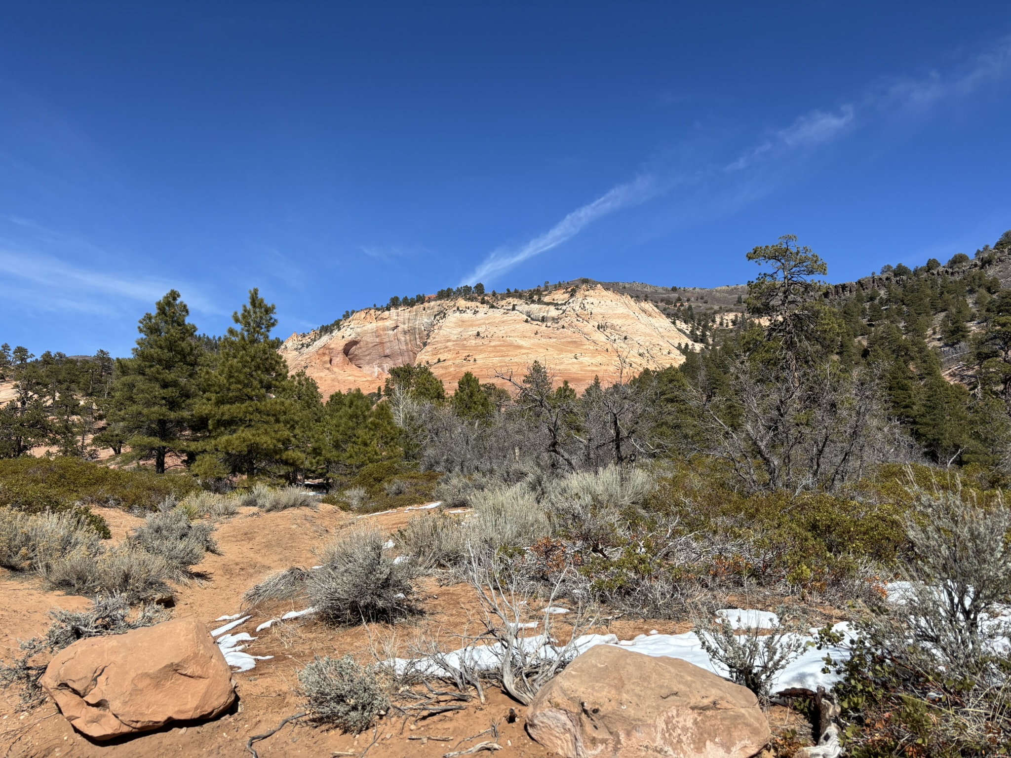
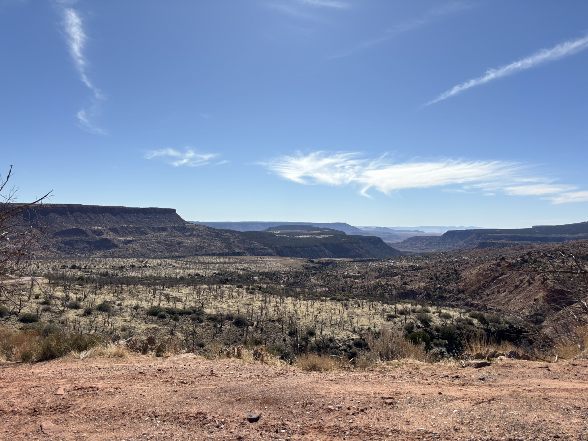
At the end of the Kolob scenic drive is the Timber Creek Overlook Trail which is about 1.25 miles out and back and provides great views of the Navajo Formation to the east, the Pine Mountains to the west and the Colorado Plateau for as far as you can see to the south. On this day the trail was a bit wet and muddy in spots as there was still snow on the ground at many locations along the trail. Joni was still nursing her leg a bit, but with slow measured walking and careful stepping, she was able to negotiate most of the trail. She stopped at the high point before the southern trail end since the money shot was all steep downhill from there with a lot of rocks and loose cobbles and pebbles. All in all, a nice last hike in Zion NP. Gallery below has photos from the trail
We worked our way back down the road stopping along the way for a picnic lunch across from the Kayenta Formation photo above. Cheese, crackers, sausage, chocolate and Topo Chico blueberry was on the lunch menu for this day.
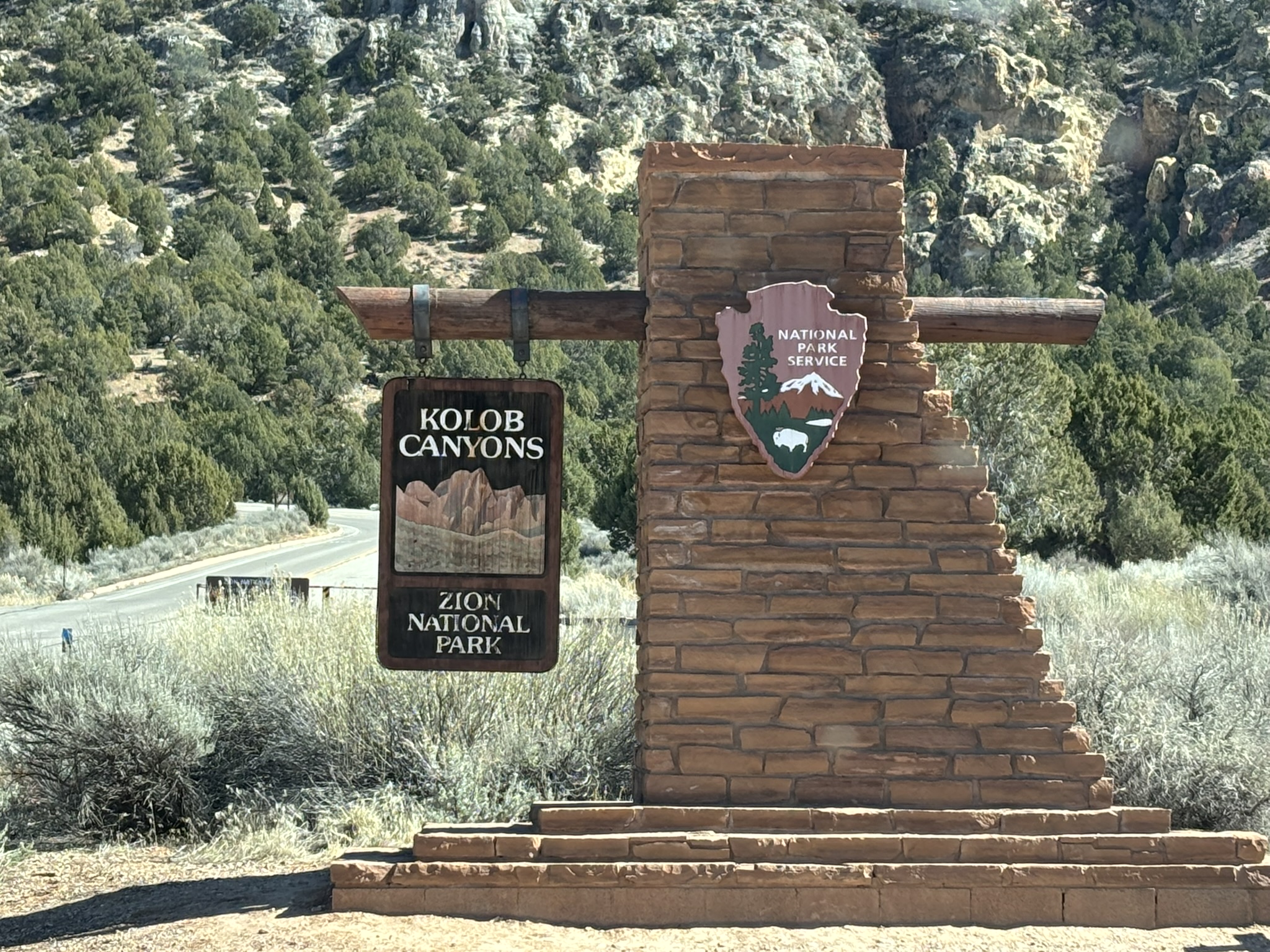
Then the requisite sign picture as we left the Kolob Canyons and headed back toward Kolob Terrace.
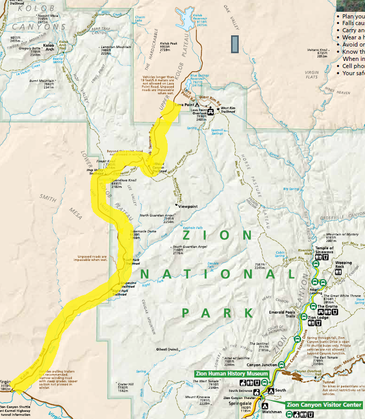
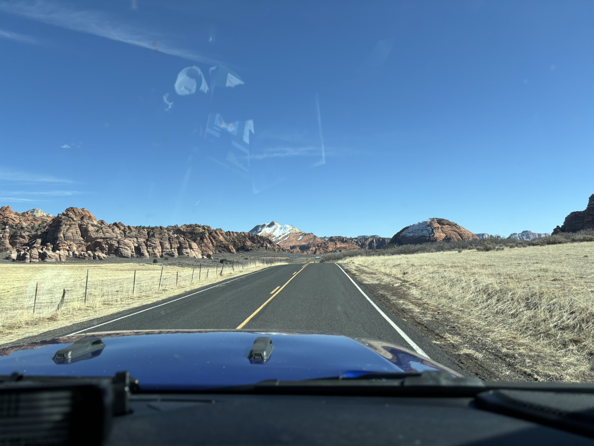
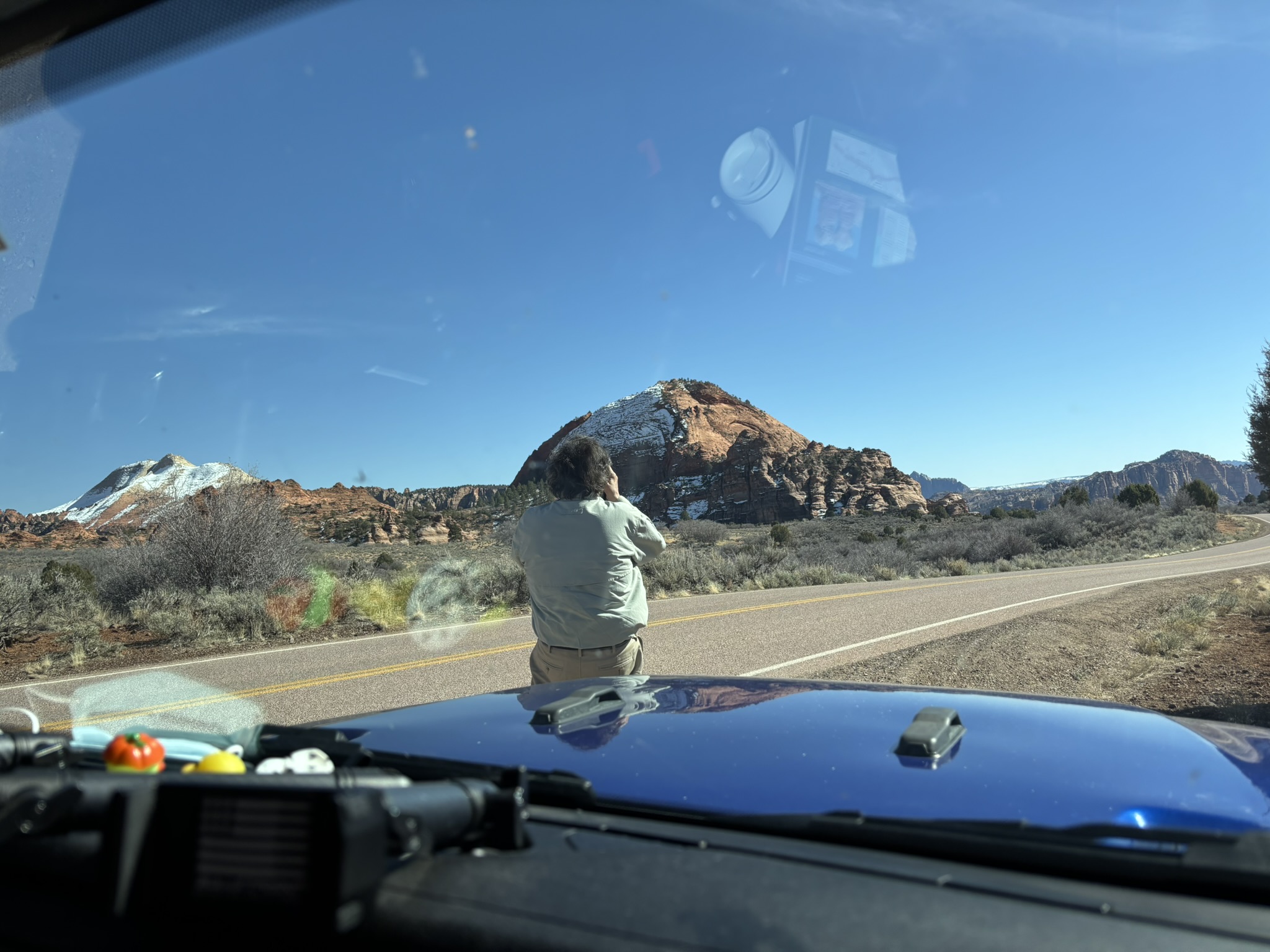
The Kolob Reservoir Road intersection, which is the main road onto the terrace is located just east of Virgin UT on the north side of SR 9. Seems to have been an obsession with virgins… We could not get all the way to Lava Point near the northern terminus of the road at the Kolob Reservoir as it was closed due to snow. The expertly drawn yellow line on the map below is the trace of our route.
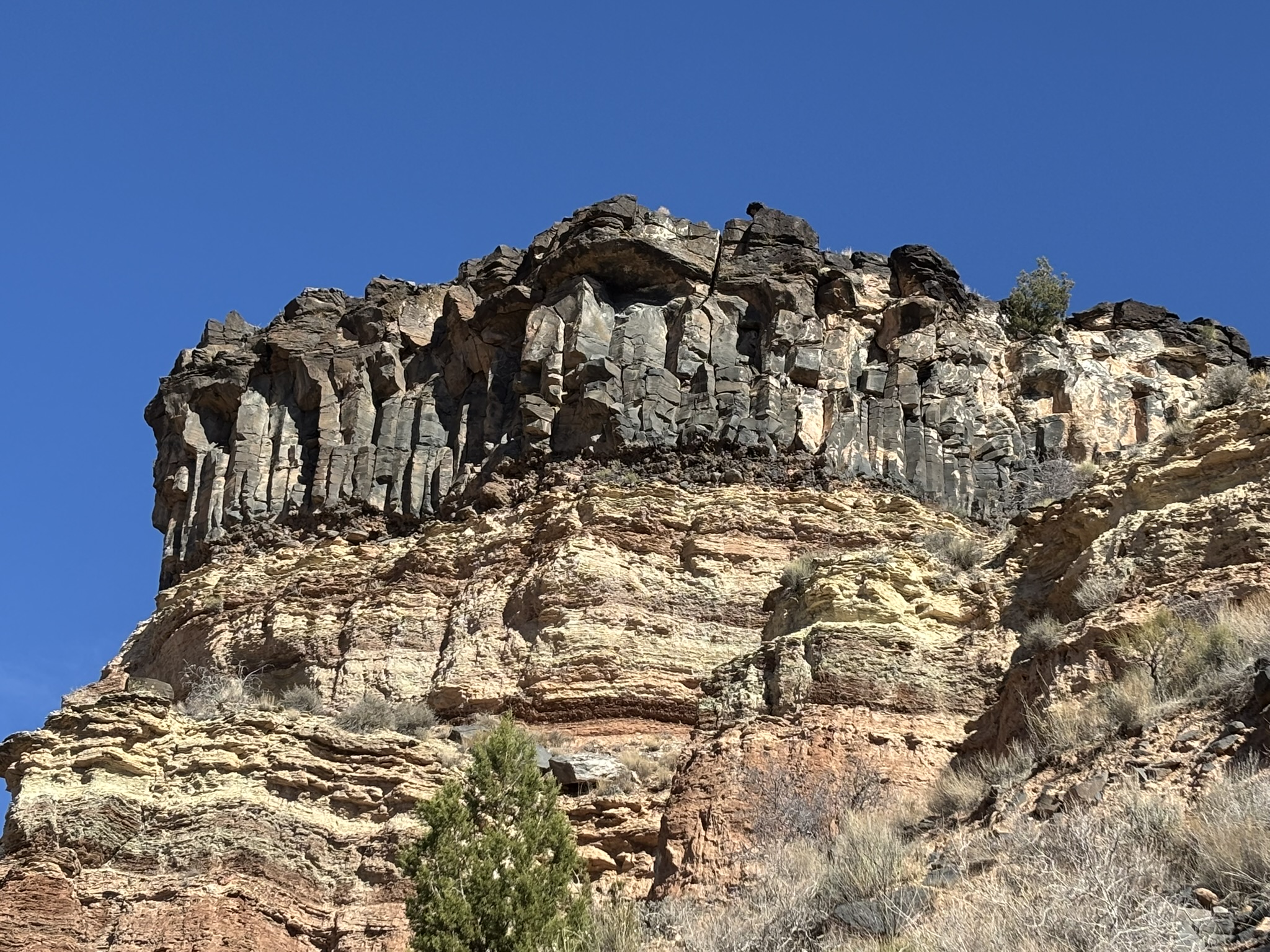
The road was almost deserted except for us, a couple of other cars, some snow track vehicles and two bicyclists who pushed the long uphill climb so that they could coast back almost 15 miles to Utah SR 9. The Kolob Reservoir Road winds in and out of the park for the first 7 or 8 miles until it firmly commits to being inside the park. There is some different geology to see along this road. The most noticeable is the occurrence of the dark colored columnar basalt cap rocks seen in the picture below and prevalent, along this route. These are relatively young deposits dated at being 220,000 to 310,000 years old. Some of the terrace volcanics are actually less than 10,000 years old and Native American lore appears to contain references to some of these events. There are several volcanic sources along the Kolob Terrace Road, including Firepit and Spendlove Knolls. The underlying sedimentary formation is the Moenkopi Formation which is around 240 to 250 million years old (Early Triassic) having been deposited just after the Permian Extinction Event. This of course means that there is about 245 +/- million years of missing geology in this picture.
Quick geology lesson as some may have questions on the columnar basalts. Columnar basalts form as a result of the cooling and contraction of lava flows. When a thick layer of lava cools, it contracts and forms fractures, creating a pattern of hexagonal columns, although they can sometimes have more or fewer sides. Consider a lava flow. The surface and bottom of the flow cool rapidly, and as these surfaces cool, fractures form on the top and bottom of the flow. The cooling proceeds up from the bottom and down from the top although the air-cooled surface will cool faster than the bottom of the flow. The cooling causes continued contraction of the flow deeper into the flow and the contraction causes fractures perpendicular to the cooling surfaces which tend to follow the original surface fracture traces. This process happens over a significant period, leading to the striking columnar appearance. All lava flows, regardless of composition, can form columnar features.
I should mention that there was a bit of excitement as we headed back down the road. You remember the bicycle folks? They took off before us and we ended up catching up to them as they stopped to rest several times. As they left one rest point, we gave them a bit of a head start but were lucky enough to witness an attack on the bicyclists by a deer jumping off a hill on one side of the road right in front of them as they were doing at least 25-30 mph down the hill. I don’t think it was a pre-meditated attack … but you never know. To their credit the bicyclists did not crash or seem to have to stop to clean out their pants.
A collection of Kolob Terrace photos!
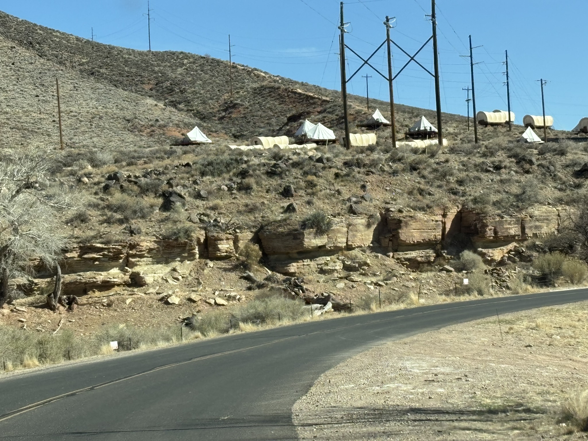
The bottom picture is sort of interesting. This is a “motel/bnb” on a bit of a plateau consisting of rooms (apparently along an electrical line right of way!) built to look like covered wagons and tents. We saw several variations of this on the road into Springdale including a collection of about 30 airstream trailers and another area with yurts. It’s not just the journey… it’s the whole experience. I’m sure that’s how they sell it and I’m also sure this is not budget accommodation. A sucker is born every minute!
We returned to Springdale for the night. We also returned to MeMe’s for another haute cuisine moment as Joni had taken a liking to the craft peach beer offering. We organized our luggage and hit the sack.
Rather than recount the trip back home separately, just a summary here. We hit the road around 8:30 but not util we stopped at a bakery/coffee shop in Springdale for a cookie, a cinnamon roll and coffee. We retraced our outbound route (mostly) back to Cathedral City and all went well into we arrived in Amboy, CA. A Road Closed sign greeted us at the RR crossing and the apologetic fellow sitting in his truck indicated that it would be at least 3 and potentially 5 hours until it reopened due to RR crossing repairs. We turned around and retraced our route back to I-40, stopped in Ludlow at a DQ for a burger but were told the electricity had just come back on so it would be at least 20 minutes until the grill was back in service. Luckily, we had left over MeMe’s crepes and drinks in the cooler, so we sat in the DQ parking lot in Ludlow for a delicious and nutritious lunch. In the end, the detour cost us a little over 2 hours of extra driving and some photo opportunities that we had postponed on the trip north, but it is all part of the adventure.
Posted inGeology, Travel and Scenery|Comments Off on Zion National Park – Kolob Up and Down – February 25, 2025
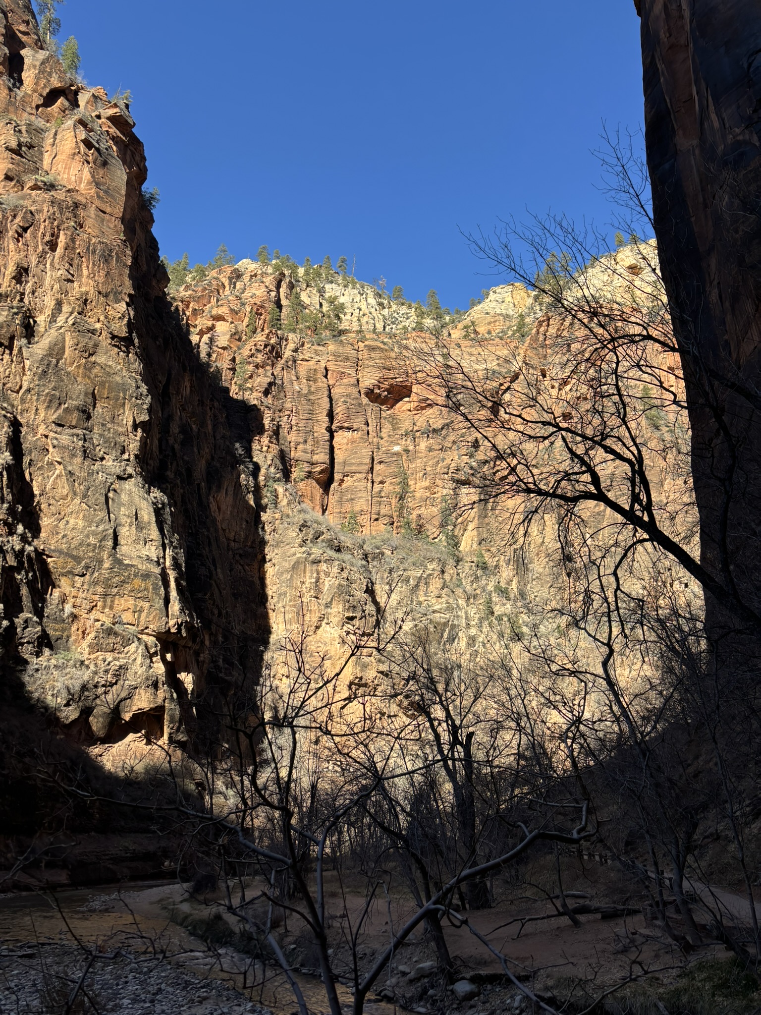
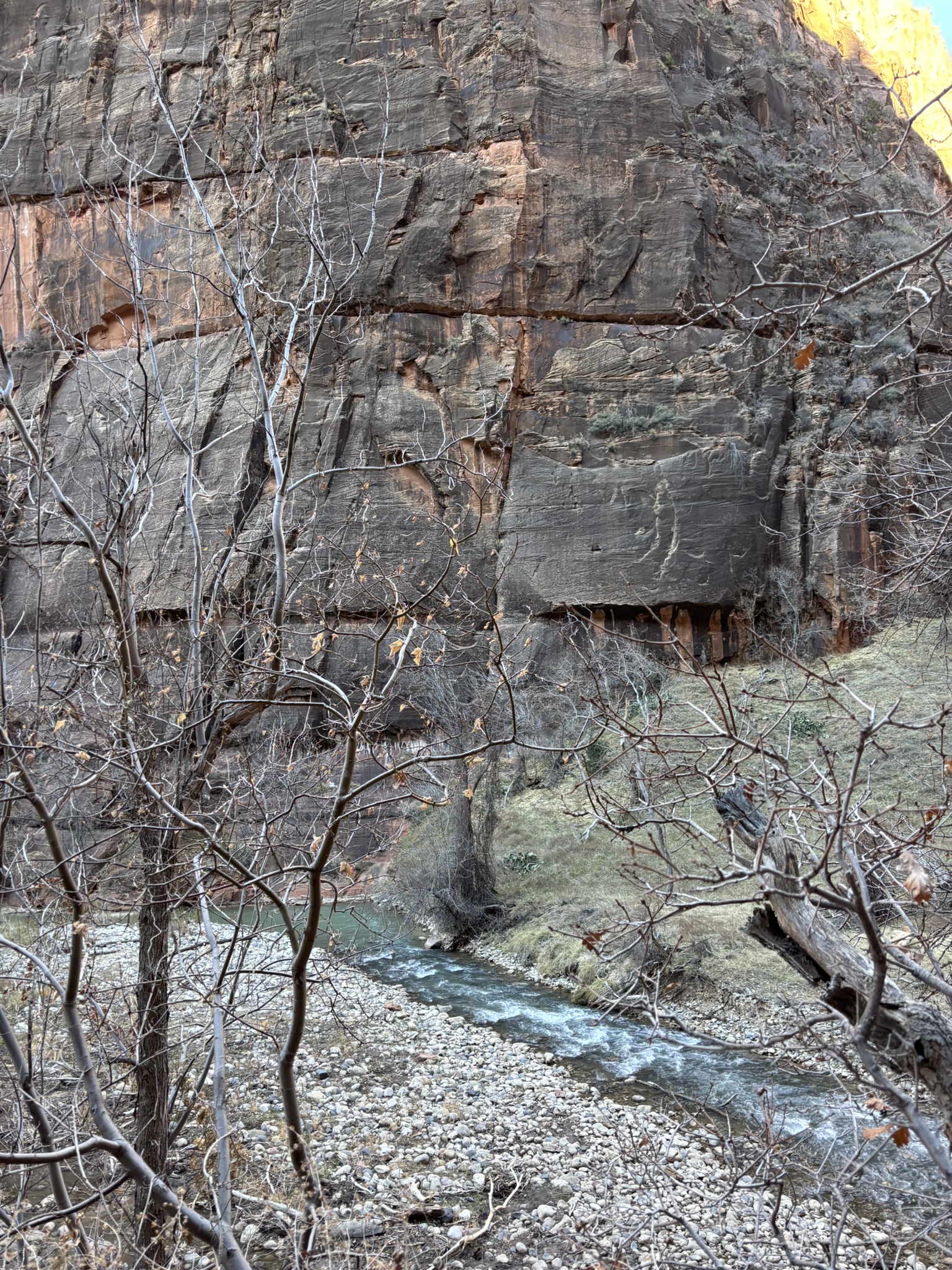
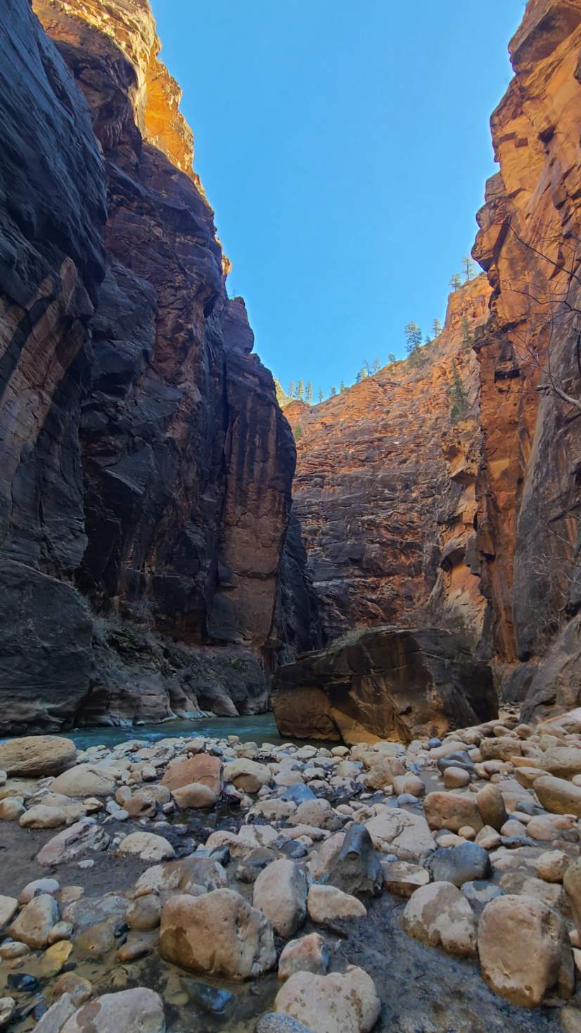
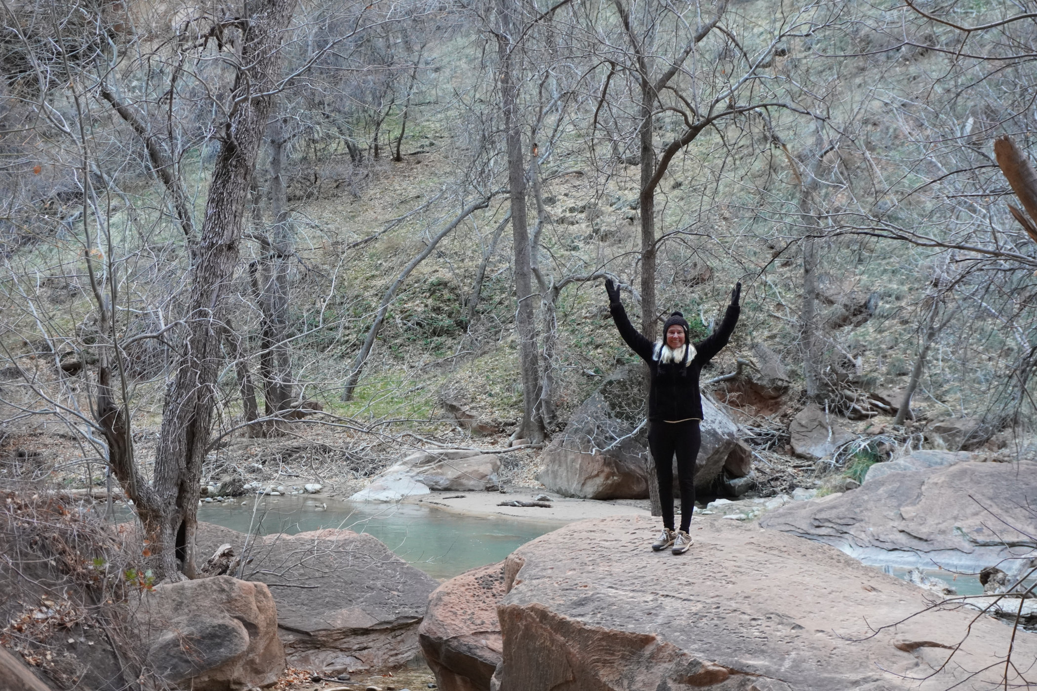
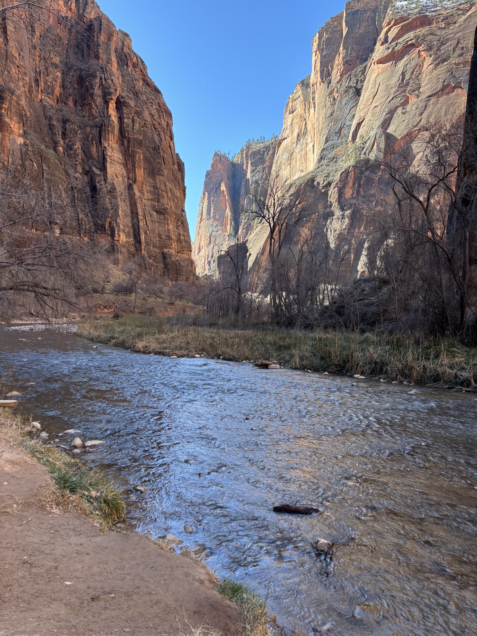
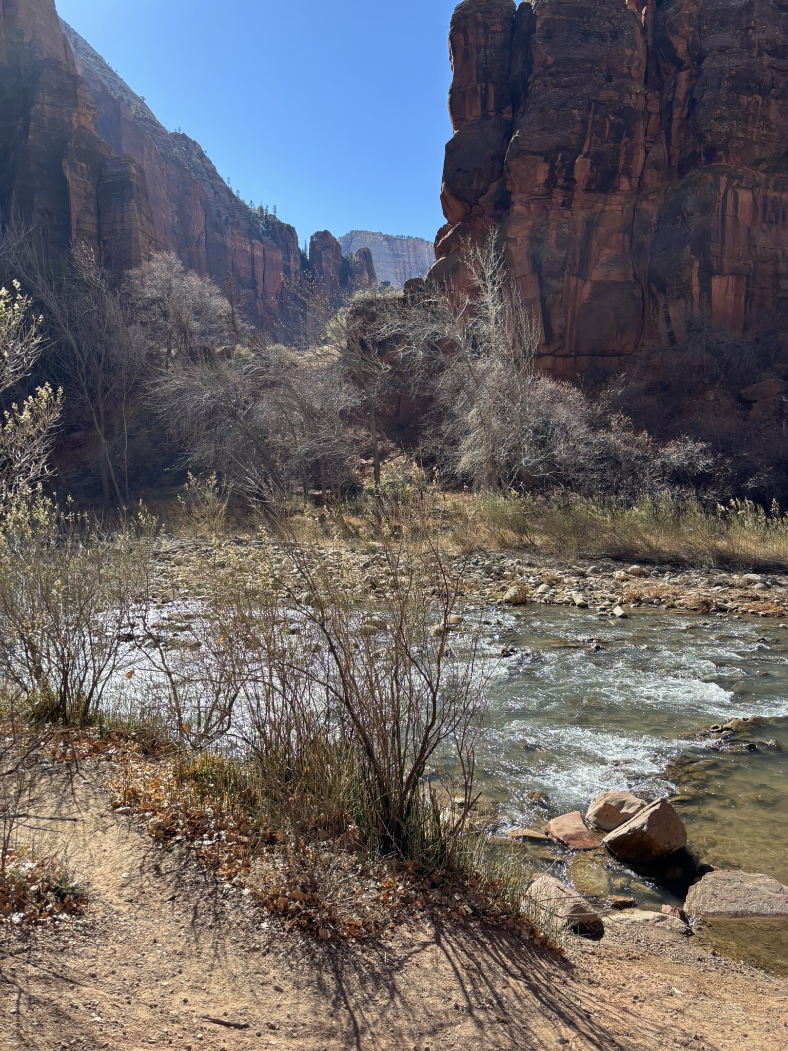
While reviewing trails on Sunday evening, we found the Zion Narrows Riverside Walk which is at the far north end of the main park scenic drive. The trail (without the wading in the snow fed river extension) is an approximately 2-mile round trip on a very well-maintained trail that has only about a 200-foot elevation gain over the trail. We got up a bit early so that we would be able to get a parking place in the parking area at the trailhead. Once again parking lot karma was on our side, and it all worked out great. Only downside was that the main restrooms were closed for repair and while they had porta potties, I’m pretty sure the inside bathrooms were warmer.
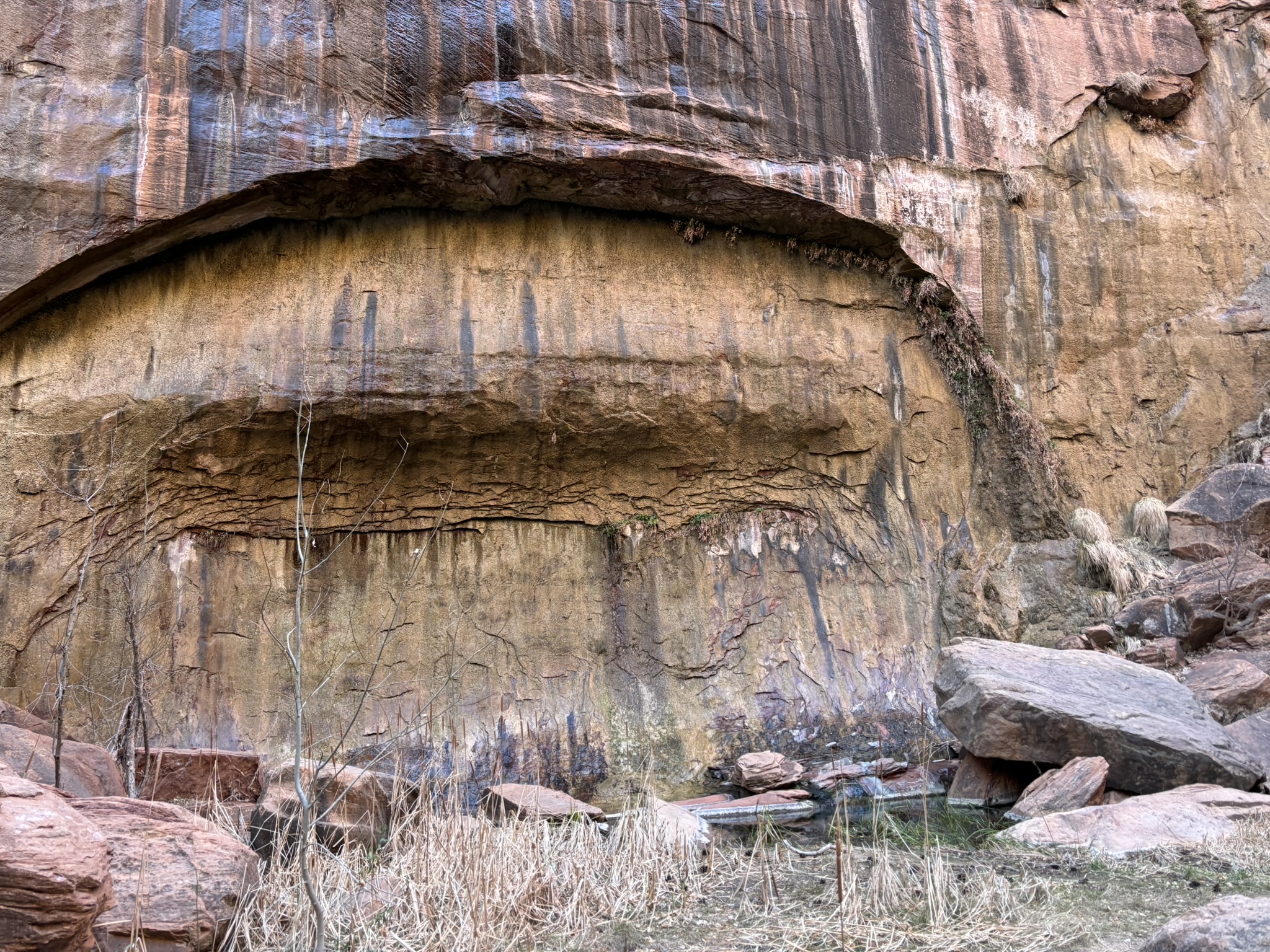
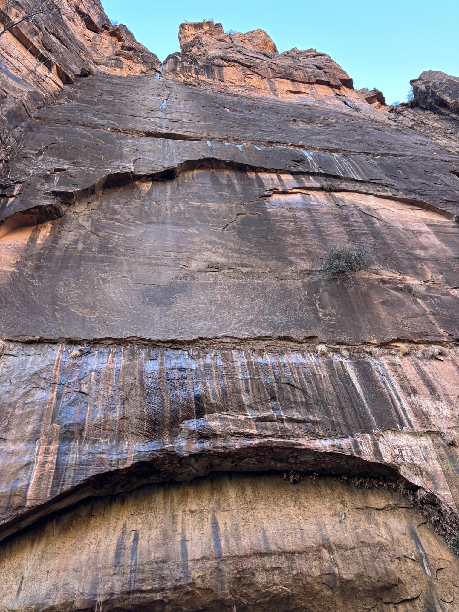
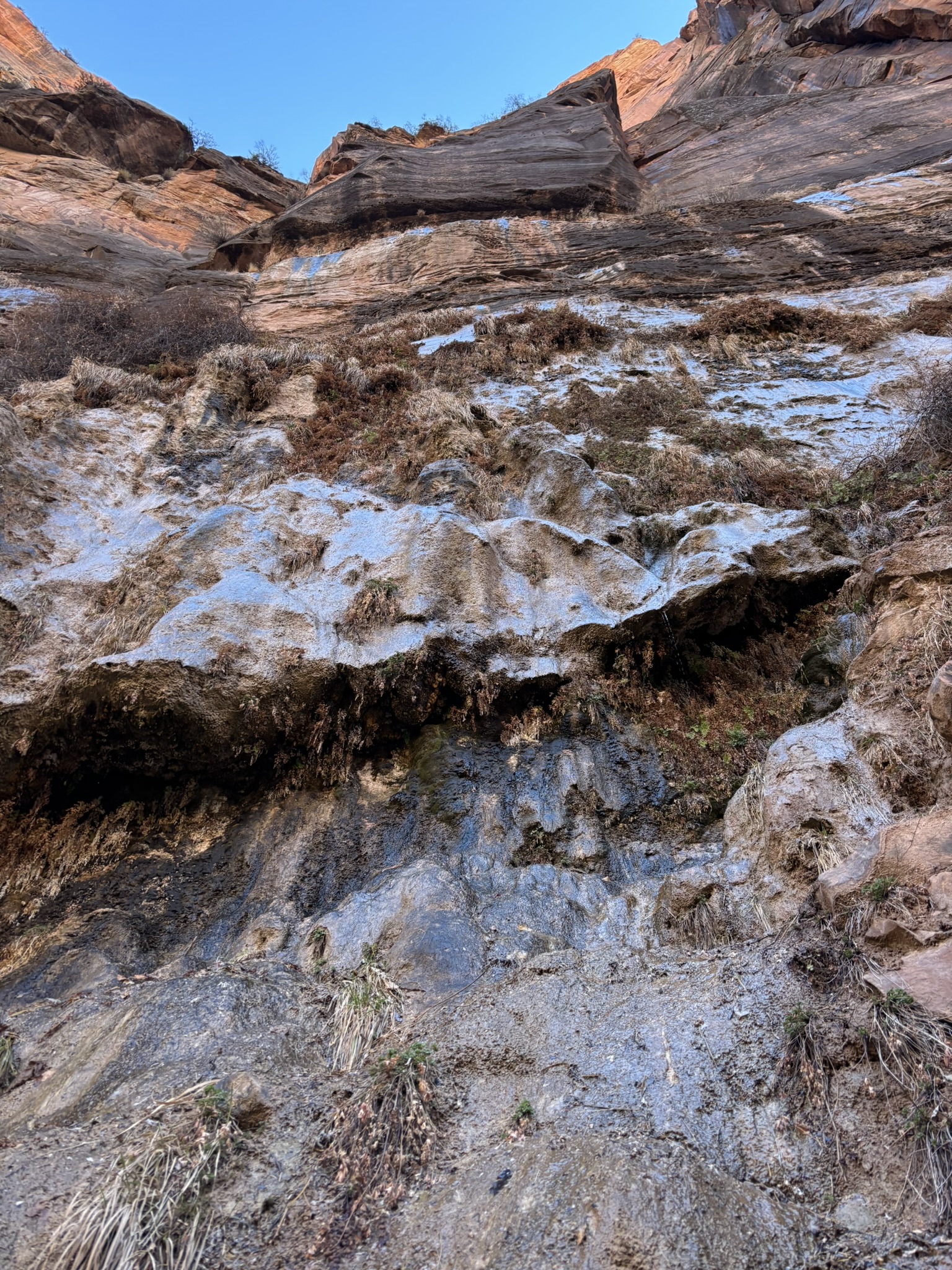
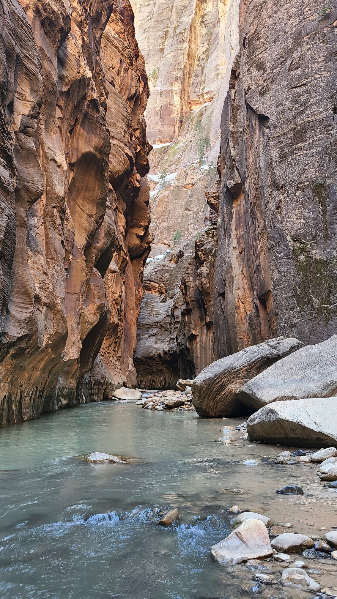
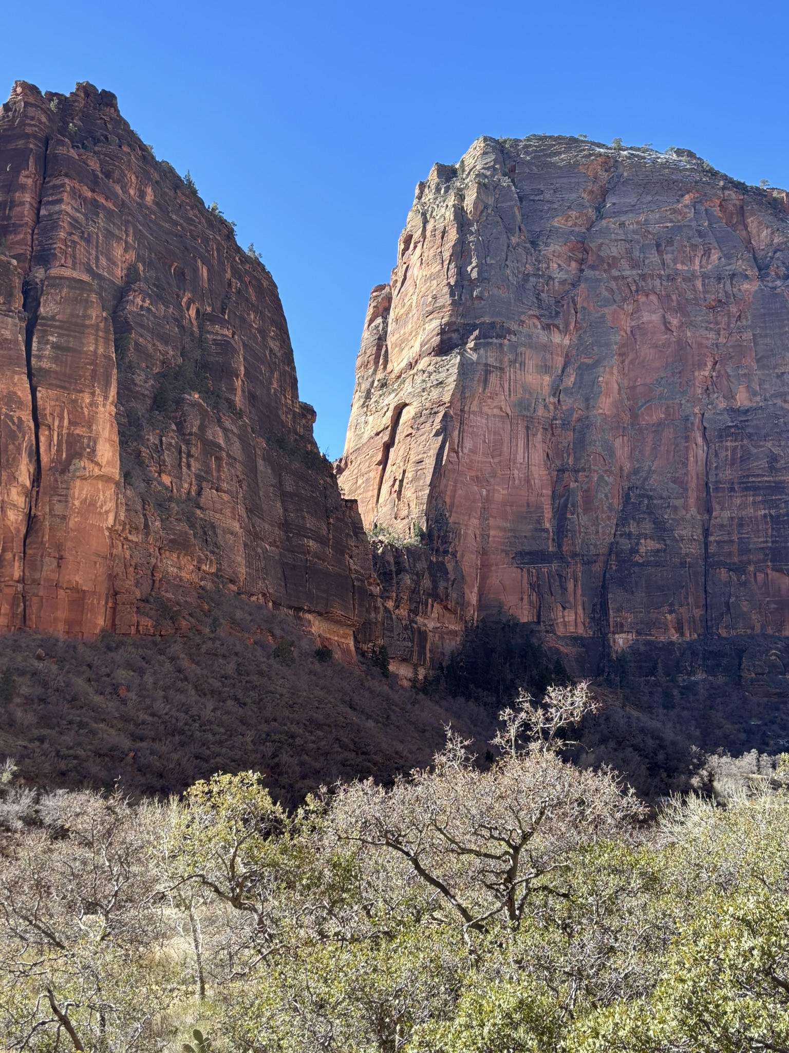
We arrived around 8:30 in the morning and because the North Fork of the Virgin River Canyon is mostly in the shade this time of year until mid to late afternoon, it was cold (45 deg F). The wind was also blowing adding to the chill factor. We had prepared well so we were not particularly uncomfortable, but the chill was noticeable. The walls of the canyon were near vertical and were still primarily the Navajo Sandstone, with a bit of snow for accent.
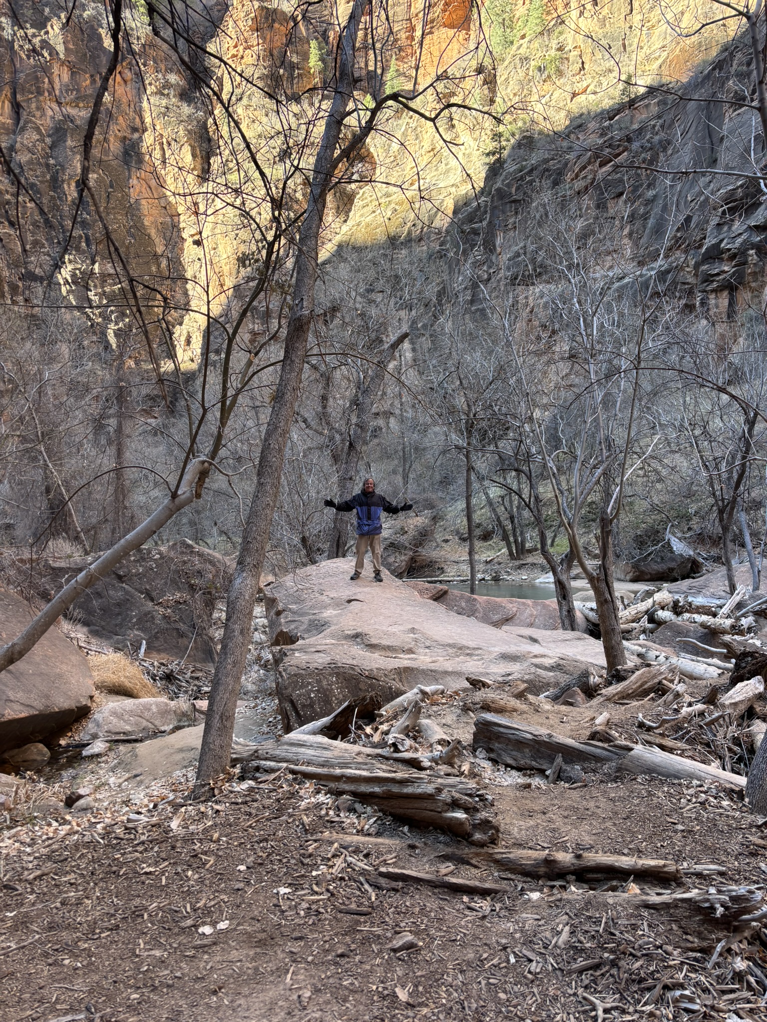
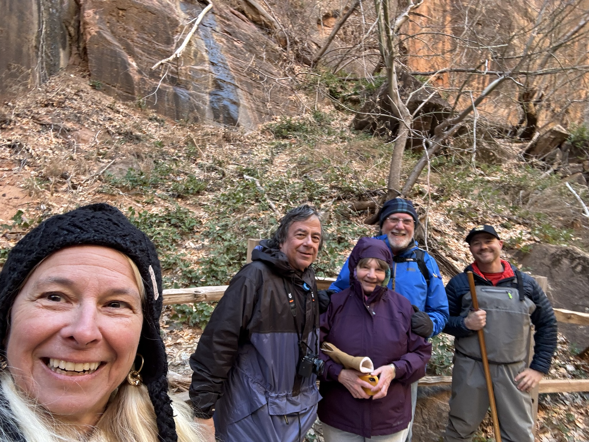
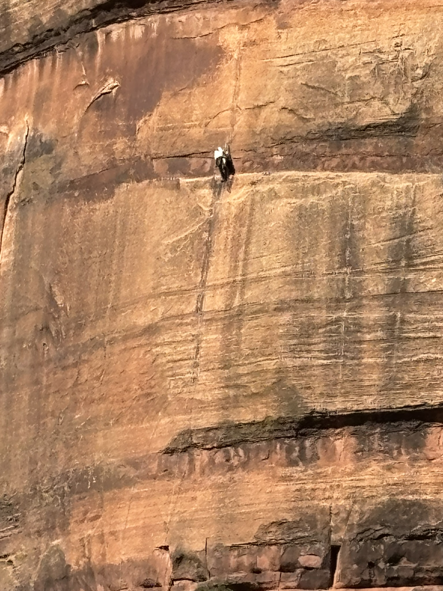
We ran into the New York couple and Phoenix guy that we had met at the geology talk the day before. Phoenix guy (John) was all decked out in insulated, waterproof waders with a pair of stout hiking sticks and continued up the trail into the river beyond the old folks’ trail ending. He sent us the two photos below of his in the river adventure.
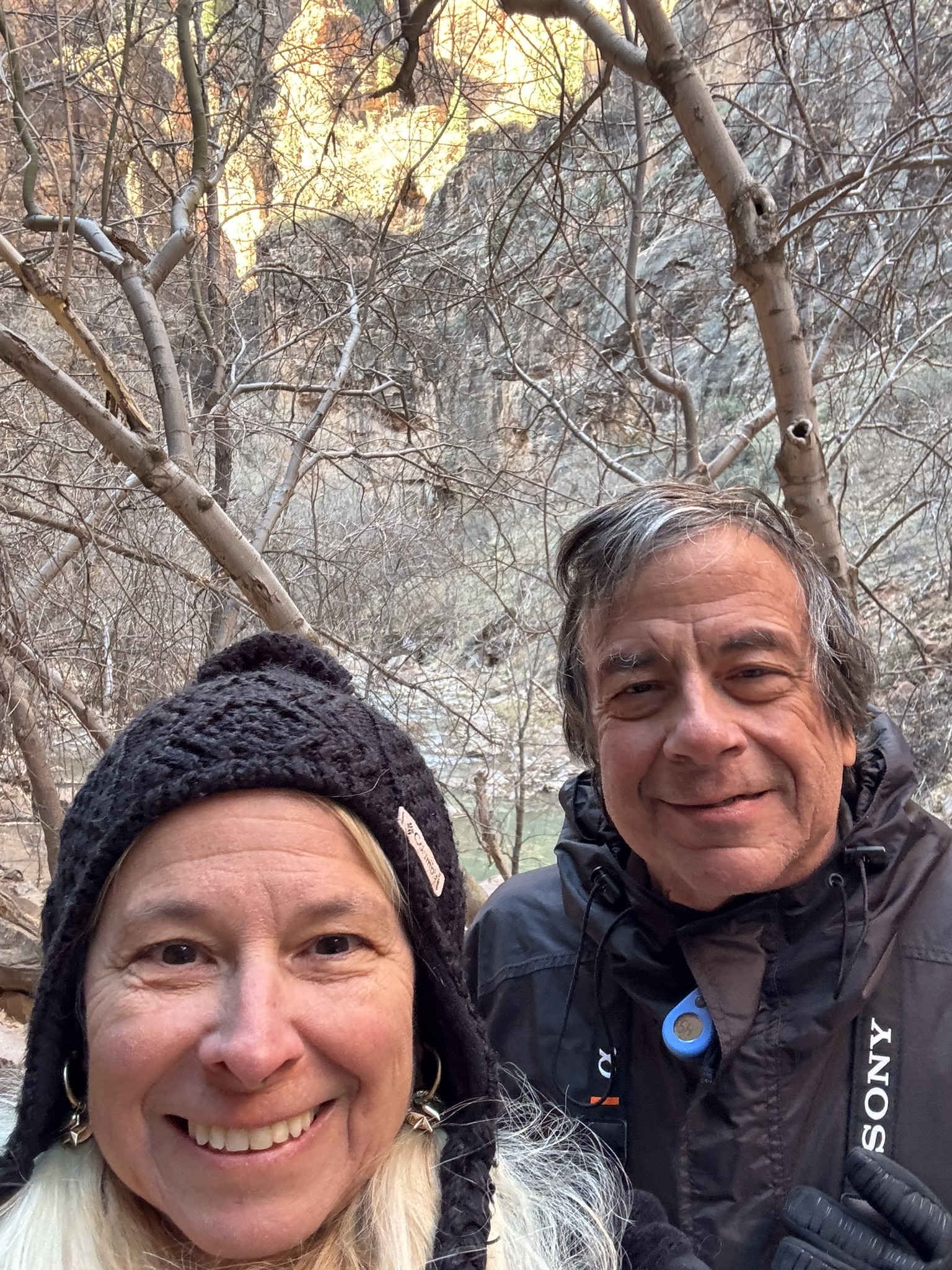
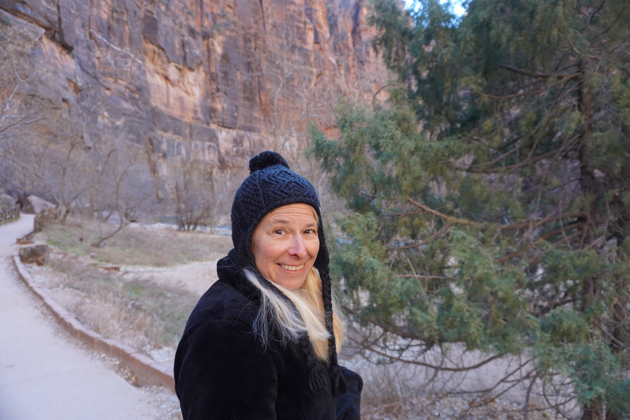
A few people pictures while enjoying the river walk and with our newfound friends.
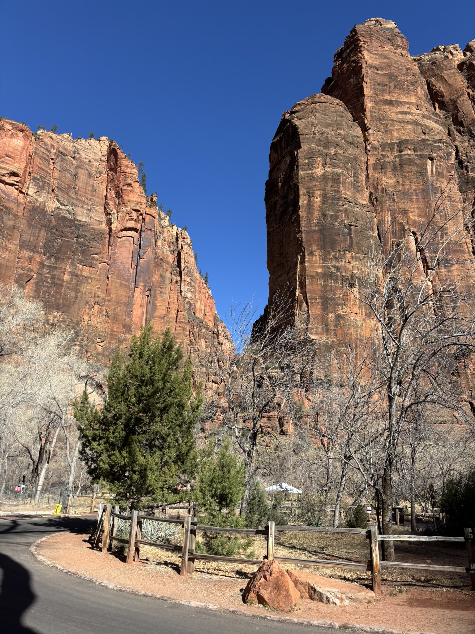
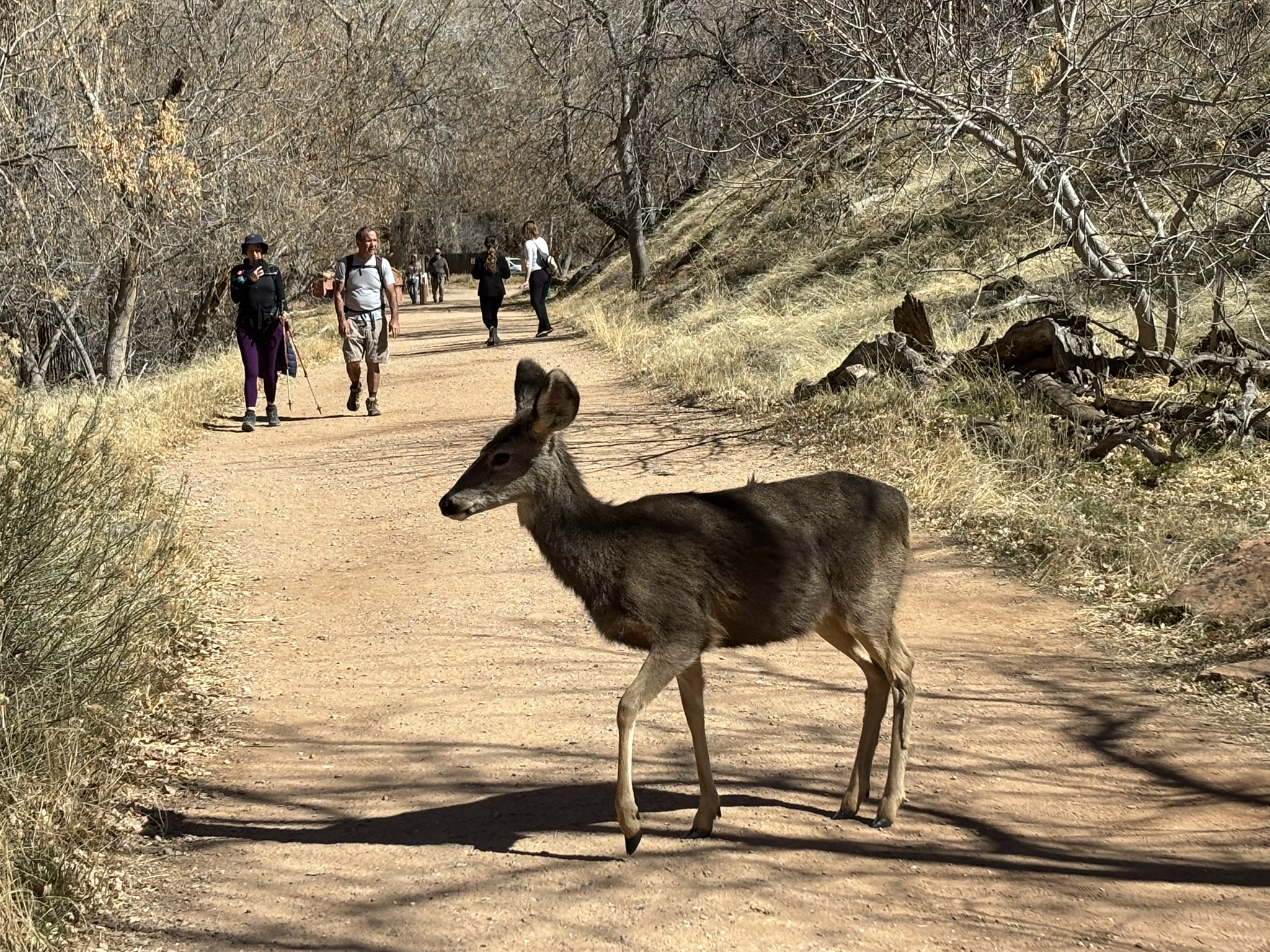
After our early morning hike, we turned back south on the scenic drive. We did make a couple of stops at pull outs heading south. At one stop that we had visited early in the morning on the way up the river, we had seen a fairly free-spirited looking fellow sitting on top of his van enjoying a cup of something. He was still there about 3 hours later but had switched his intake to something significantly more aromatic and relaxing. Just sitting there staring at the scenery yearning for the ’70s. We were planning on doing a second hike at the Emerald Pools Trail to finish out the days sightseeing. At this point, our parking lot karma expired, and we had to park a bit of a distance from the trailhead. Also, Joni’s leg, which had registered a complaint the evening before, was not being as cooperative as we needed for uphill, trail hiking. In the end we did walk up to the Emerald Pools Trailhead along the Grotto Trail which went from the Zion Lodge area to the trailhead. On the walk, several deer sort of dropped onto the trail apparently thinking that the folks walking would have some morsels for them to enjoy. Again, I think the folks that brave the cold to visit the park are more conscious of the wildlife and scenery and no one walked up to the deer to try to pet them or feed them. Everyone stayed a respectable distance from the deer. It appeared that the deer thought that the humans were being a bit stand offish, and they tentatively relocated closer to the folks on the trail.
All in all, another great scenery and sightseeing day in the park. We had a late lunch, so dinner was not a huge priority but we both thought that we should have something. We found a small place in Springdale called MeMe’s Cafe that advertised burgers, salad and crepes. Opting for a lower key meal, we tried it out and it was very good. By the way, Springdale in late February rolls up the sidewalks pretty early. Not sure where all the tourists go, but it was extraordinarily quiet in the evenings during our visit.
Posted inGeology, Travel and Scenery|Comments Off on Zion National Park – A Day at the River – February 24, 2025